Wörrstadt
A 63, Wörrstadt, Landkreis Alzey-Worms, Rheinland-Pfalz, Deutschland
49° 50' 33.1" N 8° 8' 39.6" E
49.8425188 8.1443237
• Take ramp onto A63. Go for 54.6 km.
• Continue on Dreieck Kaiserslautern. Go for 343 m.
• Continue on A6. Go for 72.1 km.
• Continue on A320. Go for 13.5 km.
• Continue on E50 (Échangeur de Freyming). Go for 259 m.
• Take the left exit toward Paris/Metz/St Avold/Carling onto A4 (Autoroute de l'Est). Go for 366 km.
• Take the exit toward Bordeaux/Nantes/Lyon/Maisons-Alfort/Créteil/Versailles onto A86. Go for 11.2 km.
• Keep left onto N186 toward Bordeaux/Nantes/Lyon/L'Hay les Roses/Versailles/Fresnes. Go for 3.3 km.
• Take ramp onto A6 B toward Bordeaux/Nantes/Lyon/Évry/Palaiseau. Go for 2.8 km.
• Keep right onto A10 toward E05/Palaiseau/Étampes/Bordeaux/Nantes/Antony-Z.A./Massy/Longjumeau. Go for 3.5 km.
• Take the exit toward Nantes/A11/Bordeaux/Orléans/Palaiseau onto A10. Go for 36.4 km.
• Keep right onto A11 (Échangeur de Ponthévrard) toward A81/Rennes/Nantes/Le Mans/Chartres. Go for 28.9 km.
• Take exit 2 toward Chartres onto D910. Go for 1.1 km.
• Take the 3rd exit from Rond-Point de Paris roundabout onto Avenue Docteur Laënnec (D190) toward Tours/Le Mans/Dreux/Le Coudray/Hôpitaux de Chartres. Go for 2.1 km.
• Take the 2nd exit from roundabout onto Avenue François Arago (D190) toward Le Mans/Tours/Dreux/Hôpitaux de Chartres/Le Coudray/Luisant. Go for 1.4 km.
• Take the 1st exit from roundabout onto Avenue d'Orléans (N154) toward Z.A. Chartres Est-Secteur Poillot. Go for 962 m.
• Turn left onto Rue de Launay (D339). Go for 227 m.
• Take the 2nd exit from roundabout onto Rue de Launay (D339). Go for 392 m.
• Arrive at Rue de Launay (D339). Your destination is on the left.
☍
599,0 km
(5 hrs. 24 min.)
Camping Les Bords De L'eure
Telephone number: +33 237 287 943
Beautiful place by the river with old trees.
2 km walk to the old town.
Rue de Launay 9, 28000, Chartres, Frankreich
48° 26' 2" N 1° 30' 1" E
48.4338900 1.5002800
• Head southwest on Rue de Launay (D339). Go for 638 m.
• Turn left onto Rue du Gord (D935). Go for 1.4 km.
• Take the 2nd exit from Carrefour de l'Abbé Stock roundabout onto Rue des Bellangères (D935). Go for 388 m.
• Continue on Rue de Chartres (D935). Go for 141 m.
• Turn left and take ramp onto N123. Go for 2.1 km.
• Take the 3rd exit from roundabout onto D910 toward A11/Le Mans/Tours/Blois/Bonneval/Châteaudun. Go for 810 m.
• Take the 2nd exit from roundabout onto D910 toward Tours/Blois/Thivars/Bonneval/Châteaudun. Go for 4.8 km.
• Take ramp onto A11 (L'Océane) toward Le Mans. Go for 106 km.
• Take the exit toward Rennes/Laval onto A81. Go for 94.1 km.
• Continue on N157. Go for 39.7 km.
• Take ramp onto Rocade Est (N136) toward St Malo/Brest/Lorient/Cesson-Centre. Go for 4.6 km.
• Keep left onto Rocade Est (N136) toward St Malo/Brest/Lorient. Go for 2.8 km.
• Keep left onto Rocade Nord (N136) toward St Malo/Brest/Lorient. Go for 7.1 km.
• Take ramp onto N12 toward Porte de Brest/Brest/St Brieuc/Pacé/Vezin le Coquet. Go for 92.8 km.
• Keep left onto N12 toward St Brieuc-Centre/Brest/Plérin/Port de St Brieuc-le Légué. Go for 974 m.
• Keep left onto Avenue de France (N12) toward Lannion/Morlaix/Brest/Plérin/Aéroport St Brieuc-Armor. Go for 68.7 km.
• Take ramp onto D42 toward Plouégat-Moysan/Plestin les Grèves. Go for 10.7 km.
• Continue on Place de l'Église. Go for 44 m.
• Turn right onto Rue de Kergus. Go for 687 m.
• Keep left onto Rue Claude Coty (D42). Go for 316 m.
• Take the 3rd exit from roundabout onto Rue Claude Coty (D42). Go for 944 m.
• Turn left onto Quai de Toul an Héry (D56). Go for 1.7 km.
• Arrive at Route de Plestin (D64). Your destination is on the right.
☍
441,8 km
(4 hrs. 5 min.)
Day
Camping du fond de la Baie
+33 (0)2 98 67 40 85
Route de Plestin-les-Grèves, 29241, Locquirec, Frankreich
48° 40' 46.2" N 3° 39' 10.9" W
48.6795100 -3.6530300
• Head toward Rue du Rugunay on Route de Plestin (D64). Go for 1.7 km.
• Turn right onto Rue Claude Coty (D42). Go for 914 m.
• Take the 1st exit from roundabout onto Rue Claude Coty (D42). Go for 337 m.
• Keep left onto Rue de Kergus toward Centre Ville. Go for 687 m.
• Turn left onto Place de l'Église. Go for 44 m.
• Continue on Place de la Mairie. Go for 10.6 km.
• Turn left and take ramp onto N12 toward St Brieuc. Go for 160 km.
• Keep left onto N12 toward Rocade Nord/Paris/Caen/Le Mans. Go for 1.9 km.
• Take ramp onto Rocade Ouest (N136). Go for 9.1 km.
• Keep left onto Rocade Est (N136) toward Le Mans/Thorigné-Fouillard. Go for 5.1 km.
• Take left ramp onto N157 toward Laval/Le Mans/Noyal S/V./Vitré. Go for 41.2 km.
• Keep left onto A81. Go for 93.3 km.
• Take the left exit toward Paris/Tours/A28/Alençon/Le Mans-Z.I. Nord onto A11 (L'Océane). Go for 12.0 km.
• Take the exit toward Orléans/Blois/Le Mans-Z.I. Sud/Bordeaux/Tours onto A28 (Échangeur Le Mans-Est). Go for 85.9 km.
• Take the exit toward E502/Bordeaux/Vierzon/Tours onto A10 (L'Aquitaine). Go for 9.2 km.
• Take the exit toward Amboise/St Pierre des C./C.H.U. Clocheville/C.H.U. Bretonneau/C.H.U. Trousseau onto Avenue Georges Pompidou. Go for 463 m.
• Take the 1st exit from Carrefour des Français Libres roundabout onto Avenue André Malraux (D751) toward Amboise/Île de la Métairie. Go for 5.1 km.
• Take the 2nd exit from roundabout onto D751. Go for 1.8 km.
• Take the 3rd exit from roundabout onto D751. Go for 1.6 km.
• Turn right. Go for 155 m.
• Turn right. Go for 35 m.
• Arrive at your destination on the left.
☍
441,1 km
(4 hrs. 2 min.)
1. Sept. 2024 Platz Nr. 140
Day
Day
Day
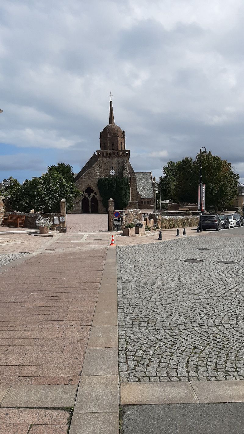
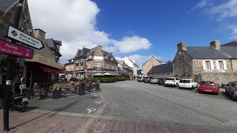
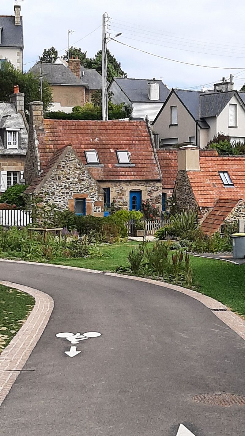
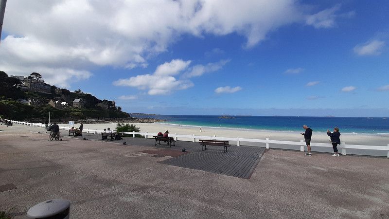
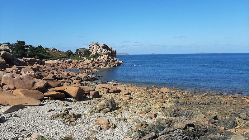
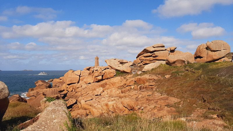
Ausflug an die Cote Granite Rose
3 Sept:
Excursion to Perros-Guirec, Pointe au Chateau and Ploumanc'h
Day
Day
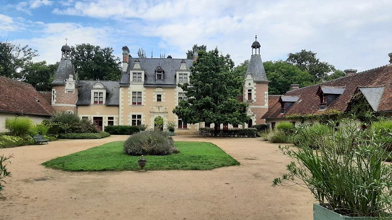
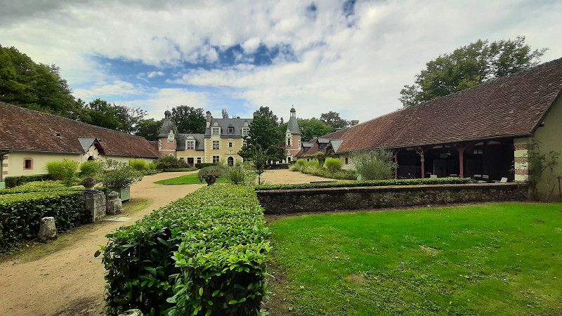
Camping de Montlouis-sur-Loire
RD 751, 37270, Montlouis sur Loire, France
47° 23' 38.8" N 0° 48' 41.2" E
47.3941210 0.8114360
• Head north. Go for 35 m.
• Turn right. Go for 91 m.
• Turn left toward D751. Go for 14 m.
• Turn right onto D751. Go for 3.3 km.
• Take the 3rd exit from roundabout onto D751. Go for 10.3 km.
• Keep right onto Quai du Général de Gaulle (D751). Go for 10.1 km.
• Turn right onto Rue de l'Ouche (D123). Go for 920 m.
• Continue on D123. Go for 303 m.
• Continue on Route de Vallières (D123). Go for 566 m.
• Continue on D123. Go for 324 m.
• Continue on Lieu-dit Le Buisson (D123). Go for 2.2 km.
• Continue on D28. Go for 282 m.
• Continue on Route de Mosnes (D28). Go for 677 m.
• Take the 1st exit from roundabout onto Avenue de Verdun (D27). Go for 251 m.
• Turn left onto Place de l'Église (D30). Go for 2.9 km.
• Continue on D30. Go for 362 m.
• Continue on Allée du Bois Roger (D30). Go for 59 m.
• Continue on D30. Go for 1.6 km.
• Continue on Lieu-dit Le Village des Prés (D30). Go for 1.2 km.
• Continue on Lieu-dit Le Marchais Tort (D30). Go for 578 m.
• Continue on D30. Go for 435 m.
• Continue on Route d'Amboise (D30). Go for 99 m.
• Continue on Lieu-dit Villebarou (D30). Go for 112 m.
• Continue on Route d'Amboise (D30). Go for 348 m.
• Continue on Lieu-dit Les Trois Cheminées (D30). Go for 64 m.
• Continue on Route d'Amboise (D30). Go for 815 m.
• Continue on Rue de la Croix des Bordes (D30). Go for 415 m.
• Continue on Rue Auguste Poulain (D30). Go for 253 m.
• Turn left onto Route de Blois (D764). Go for 116 m.
• Turn right onto Route de Thenay (D30). Go for 2.5 km.
• Turn right onto Rue Pierre Girault. Go for 125 m.
• Turn right onto Rue Maxime Samson (D30). Go for 309 m.
• Continue on Route de Contres (D30). Go for 1.7 km.
• Continue on D30. Go for 384 m.
• Continue on Lieu-dit Les Arbelets (D30). Go for 195 m.
• Continue on D30. Go for 2.2 km.
• Continue on Lieu-dit La Mardelle (D30). Go for 103 m.
• Continue on D30. Go for 257 m.
• Continue on Lieu-dit La Maison Rouge-Contres (D30). Go for 80 m.
• Continue on D30. Go for 562 m.
• Continue on Lieu-dit Les Corbillières (D30). Go for 597 m.
• Continue on D30. Go for 1.8 km.
• Continue on Route de Pontlevoy (D30). Go for 3.0 km.
• Take the 3rd exit from roundabout onto Rue André Morand (D30). Go for 384 m.
• Turn left onto Rue Pierre-Henri Mauger (D956). Go for 240 m.
• Turn right onto Rue de Cheverny (D102). Go for 1.1 km.
• Take the 2nd exit from roundabout onto Route de Cheverny (D102) toward Cour-Cheverny/Chambord/Cheverny/Les Saules. Go for 5.5 km.
• Turn left onto Chemin de la Levraudière. Go for 15 m.
• Arrive at Chemin de la Levraudière. Your destination is on the right.
☍
59,7 km
( 58 min.)
Day
Sites et Paysages Les Saules
Les Saules, 41700, Cheverny, Frankreich
47° 28' 43.2" N 1° 27' 7.4" E
47.4786600 1.4520510
• Head toward Route de Cheverny on Chemin de la Levraudière. Go for 15 m.
• Turn left onto Route de Cheverny (D102). Go for 2.1 km.
• Take the 1st exit from roundabout onto Route de Cheverny (D102). Go for 205 m.
• Take the 3rd exit from roundabout onto Rue du Chêne des Dames (D102). Go for 969 m.
• Take the 2nd exit from roundabout onto Avenue du Château (D102). Go for 76 m.
• Turn right onto Rue Fourche. Go for 98 m.
• Turn right onto Rue Gilette. Go for 162 m.
• Take the 3rd exit from roundabout onto Avenue du 11 Novembre (D765). Go for 1.4 km.
• Take the 2nd exit from roundabout onto D765. Go for 4.0 km.
• Continue on D956. Go for 3.7 km.
• Take the 2nd exit from La Patte d'Oie roundabout onto D956 toward D174/A10/Blois/Vineuil/P.A. Sud-Autres Secteurs/Chaumont S/L. Go for 4.9 km.
• Keep left onto Boulevard des Cités Unies (D956) toward Orléans/Tours/Chartres/Le Mans/Angers/Blois-Nord. Go for 1.2 km.
• Turn right toward A10/Villerbon/PA A10/PA Gailletrous. Go for 453 m.
• Continue on D956. Go for 635 m.
• Take the 3rd exit from Rond-Point des Châteaux roundabout onto D952 A toward Orléans/Orleans/Tours. Go for 576 m.
• Take ramp onto A10 (L'Aquitaine) toward Paris/Orléans. Go for 65.5 km.
• Take the exit toward E60/A19/Metz/Nancy/Fontainebleau/Montargis. Go for 1.2 km.
• Continue on A19. Go for 98.7 km.
• Take the exit toward Metz/Nancy/Troyes/Sens onto A19. Go for 29.4 km.
• Take the exit toward Troyes/Metz/Nancy onto A5. Go for 71.0 km.
• Take the exit toward Metz/Reims/Châlons en Champ./St Dizier onto A26. Go for 96.5 km.
• Take the exit toward Strasbourg/Metz/Verdun onto A4 (Autoroute de l'Est). Go for 45.1 km.
• Take exit 26 toward Ste Menehould onto Route d'Argers. Go for 1.1 km.
• Continue on D85. Go for 254 m.
• Turn left onto D85 toward D982 E/Châlons en Ch./Verdun/Vouziers/Ste Menehould. Go for 1.1 km.
• Turn right onto D3 toward Verdun/Centre Ville/Chaudefontaine/Vouziers. Go for 3.4 km.
• Take the 1st exit from roundabout onto Route Nationale 3 (D3). Go for 6.1 km.
• Continue on Rue Jules Bancelin (D603). Go for 516 m.
• Turn right onto Rue de la Gare (D2) toward Futeau/Triaucourt. Go for 3.8 km.
• Turn left onto Clos de la Montagne. Go for 64 m.
• Arrive at Clos de la Montagne. Your destination is on the left.
☍
444,2 km
(3 hrs. 48 min.)
Day
Day
Day
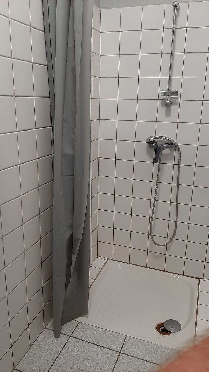
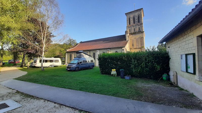
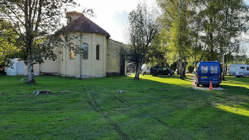
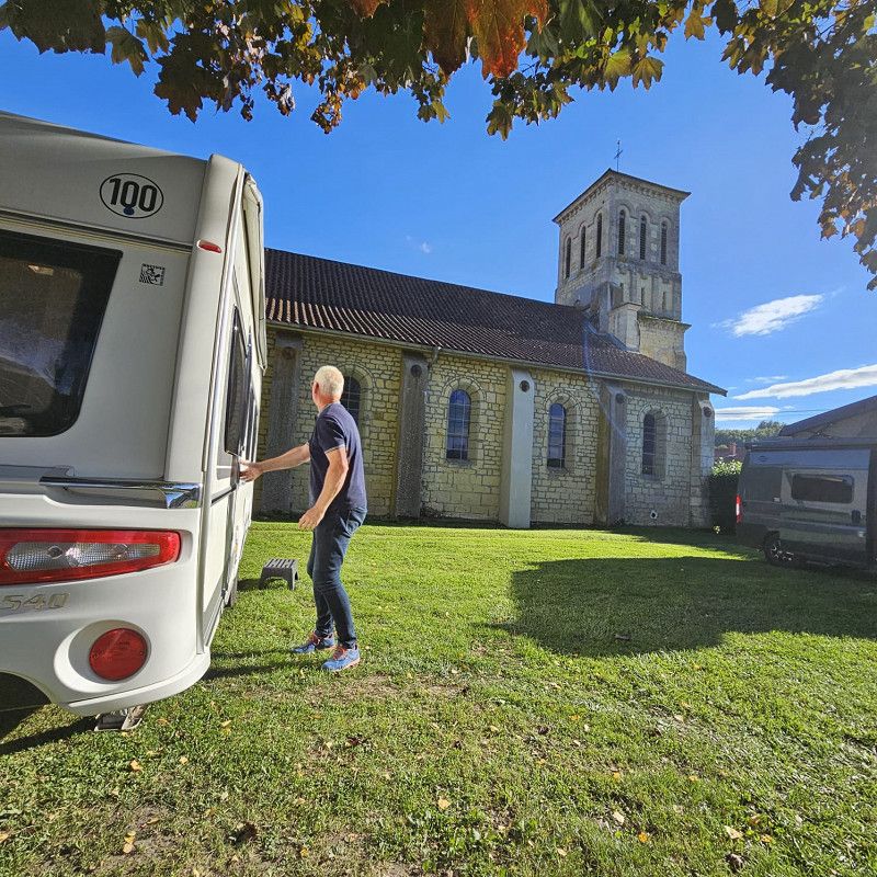
Camping Municipal de Futeau
Very beautifully situated small square right next to the church.
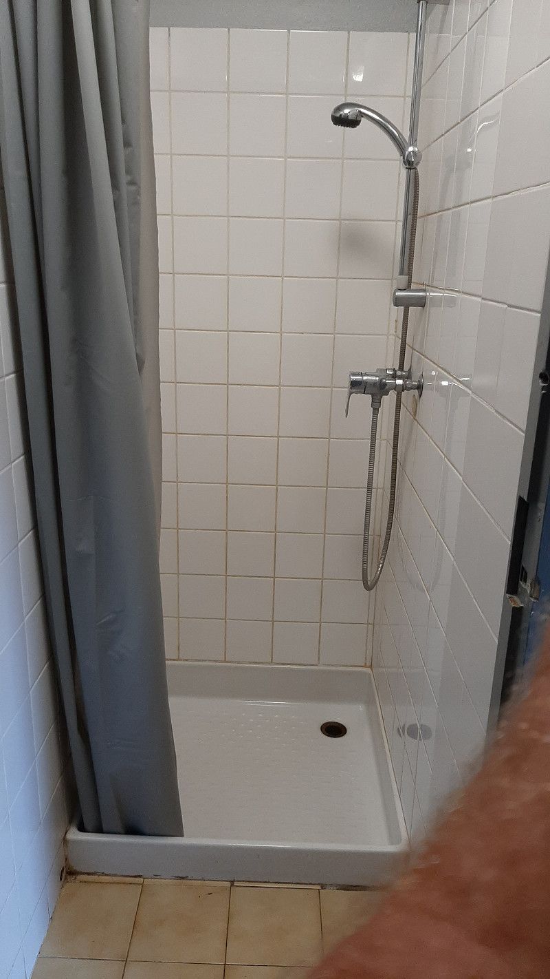
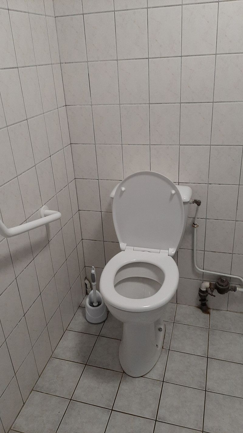
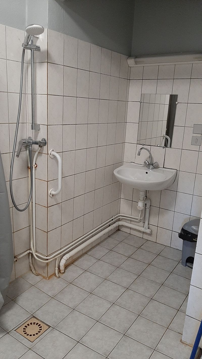
Sanitary facilities are simple (1 toilet and 3 showers) but exceptionally clean and well maintained.
13.60 € per night for 2 people with caravan including electricity.
Clos de la Montagne, 55120, Futeau, Frankreich
49° 4' 36.1" N 5° 0' 10.8" E
49.0767000 5.0030000
• Head toward Grande Rue on Clos de la Montagne. Go for 64 m.
• Turn right onto Grande Rue (D2). Go for 3.8 km.
• Turn right onto Rue Jules Bancelin (D603). Go for 5.9 km.
• Turn right onto Rue des Déportés (D998) toward A4/Reims/Verdun/Metz/Auzéville en A./Bar-le-Duc/Souilly. Go for 2.8 km.
• Turn right and take ramp onto A4 (Autoroute de l'Est) toward Strasbourg/Metz/Nancy/Paris/Reims. Go for 140 km.
• Take the exit toward Forbach onto A320. Go for 14.6 km.
• Continue on A6. Go for 71.9 km.
• Keep right onto Dreieck Kaiserslautern toward Frankfurt a.M./Mainz/Kaisersl.-Centrum/A63. Go for 523 m.
• Continue on A63. Go for 54.2 km.
• Take exit 6 toward Wörrstadt/Oppenheim/Nierstein/Schornsheim. Go for 141 m.
• Arrive at Anschlussstelle Wörrstadt. Your destination is on the left.
☍
294,1 km
(2 hrs. 34 min.)
Day
Wörrstadt
A 63, Wörrstadt, Landkreis Alzey-Worms, Rheinland-Pfalz, Deutschland
49° 50' 22.7" N 8° 8' 41.9" E
49.8396422 8.1449703