Day
Zum Haubert 18, Worms, Deutschland
Zum Haubert 18, 67551 Worms, Deutschland
49° 36' 11.9" N 8° 19' 22.1" E
49.6033001 8.3227964
• Head toward Neugasse on Zum Haubert. Go for 123 m.
• Turn slightly left onto Neugasse. Go for 22 m.
• Turn right onto Wiesoppenheimer Straße (K3). Go for 20 m.
• Continue on Weinsheimer Hauptstraße (K3). Go for 607 m.
• Turn left onto Weinbergstraße. Go for 289 m.
• Continue on Höhlchenstraße. Go for 538 m.
• Take the 2nd exit from roundabout onto Kolpingstraße (K17). Go for 2.1 km.
• Take the 2nd exit from roundabout onto Kolpingstraße (K17) toward Michelstadt/B47/B9/Mainz/Gewerbegebiet Nord/Krankenhaus Hochstift/Zentrum. Go for 564 m.
• Turn left onto Neusatz (K17) toward Zentrum. Go for 103 m.
• Turn right onto Willy-Brandt-Ring (K1). Go for 912 m.
• Turn left onto Ludwigstraße toward Zentrum. Go for 357 m.
• Turn right onto Allmendgasse toward A67/A5/Michelstadt. Go for 136 m.
• Continue on Kyffhäuserstraße. Go for 14.7 km.
• Take ramp onto A67 toward Frankfurt. Go for 23.3 km.
• Continue on E451 (Darmstädter Kreuz). Go for 450 m.
• Continue on A5. Go for 149 km.
• Continue on A7. Go for 3.7 km.
• Take the exit toward Berlin/Dresden/Erfurt/Bad Hersfeld onto A4. Go for 88.5 km.
• Take exit 41B toward Gotha-Boxberg/Schmalkalden/Tambach-Dietharz. Go for 272 m.
• Turn right onto L1026 toward Schmalkalden/Tambach-Dietharz/Gotha. Go for 3.4 km.
• Turn left onto K5 toward Boxberg. Go for 674 m.
• Continue on Boxberg (K5). Go for 348 m.
• Turn right onto Boxberg. Go for 129 m.
• Arrive at Boxberg.
☍
290,2 km
(2 hrs. 43 min.)
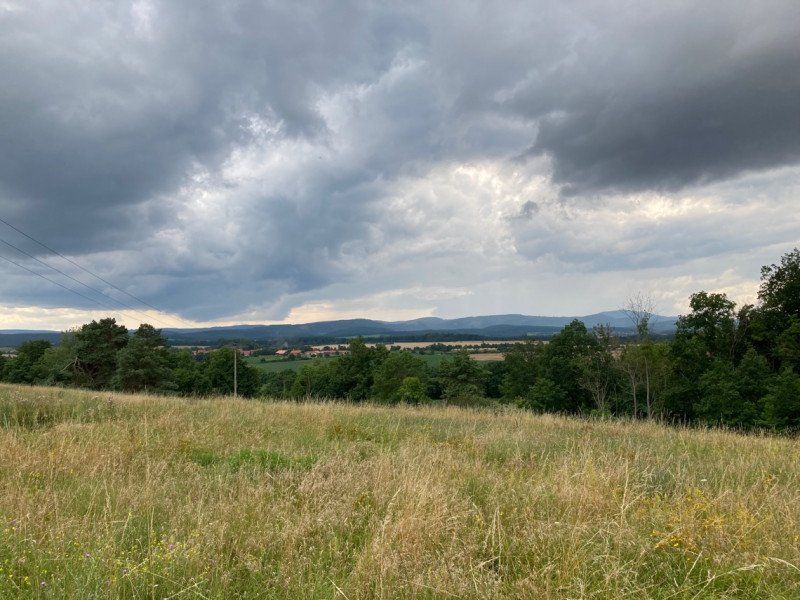
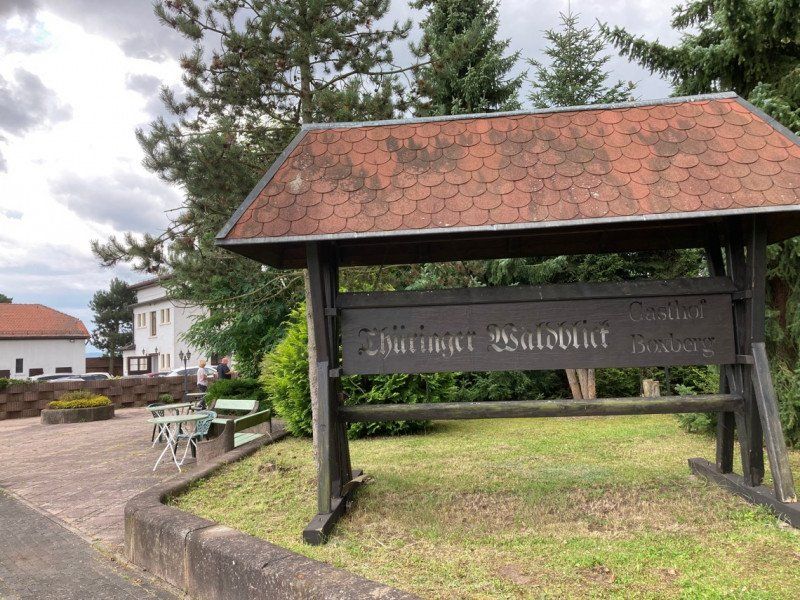
Boxberg 86, Leinatal, Deutschland
Boxberg 86, 99894 Leinatal, Deutschland
50° 53' 52.4" N 10° 39' 26.8" E
50.8978850 10.6574370
• Head southeast on Boxberg.
• Arrive at Boxberg.
☍
Distance not available
(Duration not available)
Day
Boxberg 86, Leinatal, Deutschland
Boxberg 86, 99894 Leinatal, Deutschland
50° 53' 52.4" N 10° 39' 26.8" E
50.8978850 10.6574370
• Head northwest on Boxberg. Go for 129 m.
• Turn left onto Boxberg (K5). Go for 348 m.
• Continue on K5. Go for 674 m.
• Turn right onto L1026 toward A4/Gotha/Waltershausen. Go for 3.4 km.
• Turn left and take ramp onto A4 toward Dresden. Go for 237 km.
• Take exit 78 toward Dresden-Altstadt/Meißen/GVZ. Go for 1.6 km.
• Turn right onto Meißner Landstraße (B6) toward Dresden/GVZ/Zentrum. Go for 1.6 km.
• Turn slightly left onto Hamburger Straße (B6) toward Zentrum/Messe. Go for 932 m.
• Keep right onto Hamburger Straße (S73) toward VW-Manufaktur. Go for 1.2 km.
• Continue on Schäferstraße toward VW-Manufaktur/Zentrum. Go for 797 m.
• Continue on Schweriner Straße. Go for 163 m.
• Continue on Schweriner Straße toward Zentrum. Go for 528 m.
• Continue on Hertha-Lindner-Straße. Go for 124 m.
• Turn left onto Freiberger Straße. Go for 248 m.
• Turn right onto Marienstraße. Go for 472 m.
• Turn left onto Dippoldiswalder Platz. Go for 144 m.
• Continue on Waisenhausstraße. Go for 478 m.
• Continue on Bürgerwiese toward Pirna/Zoo. Go for 372 m.
• Turn left onto Zinzendorfstraße. Go for 81 m.
• Turn left. Go for 223 m.
• Arrive at your destination on the right.
☍
251,0 km
(2 hrs. 21 min.)
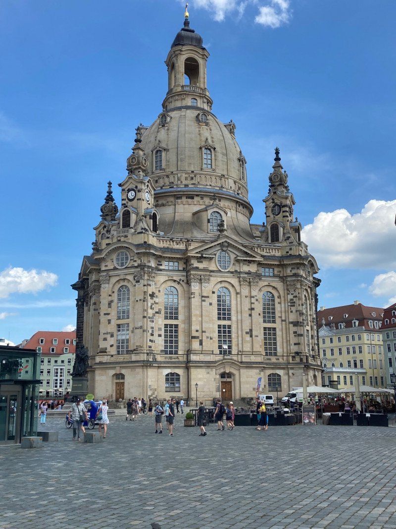
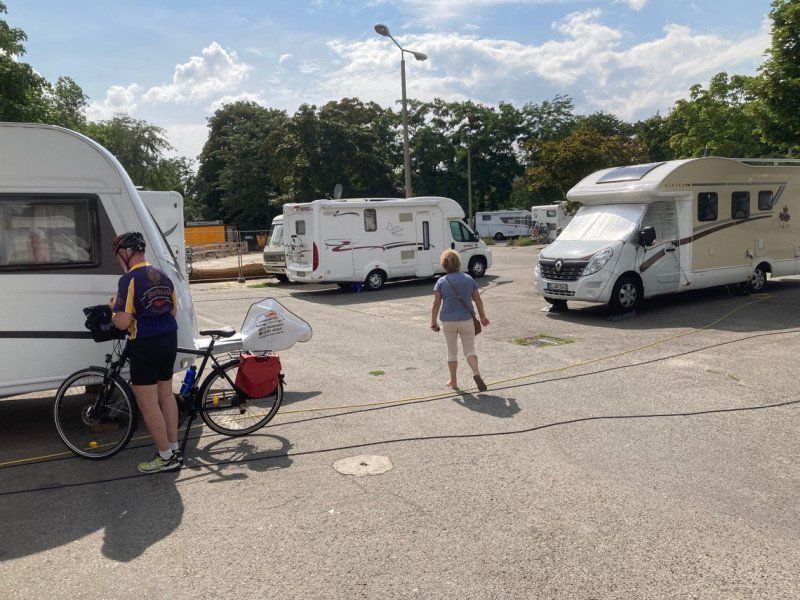
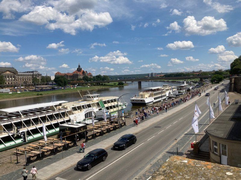
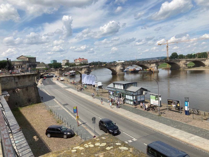
Wohnmobilstellplatz - Am Blüherpark - Dresden, Zinzendorfstraße 7, Dresden, Deutschland
Zinzendorfstraße 7, 01069 Dresden, Deutschland
51° 2' 38.8" N 13° 44' 35.1" E
51.0441124 13.7430758
• Head southeast.
• Arrive at your destination on the right.
☍
Distance not available
(Duration not available)
Day
Wohnmobilstellplatz - Am Blüherpark - Dresden, Zinzendorfstraße, Dresden, Deutschland
Zinzendorfstraße 7, 01069 Dresden, Deutschland
51° 2' 38.8" N 13° 44' 35.1" E
51.0441124 13.7430758
• Head southeast. Go for 35 m.
• Turn right toward Zinzendorfstraße. Go for 17 m.
• Turn right onto Zinzendorfstraße. Go for 215 m.
• Turn right onto Bürgerwiese. Go for 347 m.
• Continue on Dr.-Külz-Ring toward Innere Altstadt. Go for 569 m.
• Continue on Dippoldiswalder Platz. Go for 69 m.
• Turn right onto Marienstraße. Go for 420 m.
• Turn left onto Annenstraße. Go for 199 m.
• Turn right onto Hertha-Lindner-Straße. Go for 263 m.
• Turn slightly right onto Hertha-Lindner-Straße. Go for 239 m.
• Turn left onto Ostra-Allee. Go for 570 m.
• Turn right onto Könneritzstraße (B6). Go for 196 m.
• Continue on Marienbrücke (B6). Go for 464 m.
• Keep right onto B6 toward Moritzburg/Coswig/Radebeul/Flughafen Dresden/Bahnhof Neustadt/Zentrum. Go for 231 m.
• Continue on Palaisplatz (B170) toward Moritzburg/Flughafen Dresden/Bahnhof Neustadt. Go for 793 m.
• Keep right onto Hansastraße (B170) toward A4/Flughafen Dresden. Go for 4.3 km.
• Take ramp onto A4 toward Berlin/Görlitz. Go for 1.5 km.
• Take exit 82 toward Berlin/Cottbus/Flughafen Dresden. Go for 2.0 km.
• Keep left onto A13. Go for 86.7 km.
• Take exit 11 toward Kittlitz/Lübbenau-Süd. Go for 231 m.
• Take the 2nd exit from roundabout onto K6636 toward Lübbenau-Süd/Kittlitz/Gewerbegebiet Am Spreewalddreieck. Go for 3.3 km.
• Take the 2nd exit from roundabout onto Lübbenauer Chaussee (K6636). Go for 997 m.
• Continue on K6636. Go for 78 m.
• Turn right onto Nordstraße (K6636). Go for 863 m.
• Turn left onto Kraftwerkstraße (K6636). Go for 1.2 km.
• Turn left onto Bahnhofstraße (L49). Go for 145 m.
• Turn right onto Dammstraße. Go for 410 m.
• Turn right onto Dammstraße. Go for 175 m.
• Turn left. Go for 31 m.
• Arrive at your destination.
☍
106,4 km
(1 hrs. 7 min.)
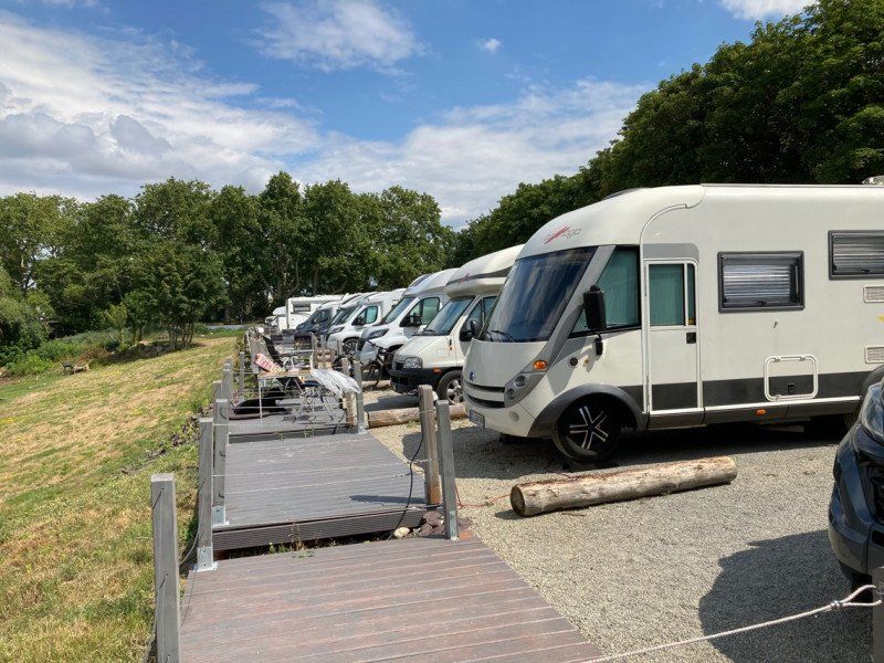
Spreewald Caravan- und Wohnmobilpark Dammstrasse
Dammstraße 62 d, 03222, Lübbenau, Deutschland
51° 51' 44.2" N 13° 58' 15.7" E
51.8622700 13.9710200
• Head southeast.
• Arrive at your destination.
☍
Distance not available
(Duration not available)
Day
Spreewald Caravan- und Wohnmobilpark Dammstrasse
Dammstraße 62 d, 03222, Lübbenau, Deutschland
51° 51' 44.2" N 13° 58' 15.7" E
51.8622700 13.9710200
• Head southeast. Go for 121 m.
• Continue on Dammstraße. Go for 145 m.
• Turn left onto Dammstraße. Go for 410 m.
• Turn right onto Bahnhofstraße (L49). Go for 1.9 km.
• Pass 2 roundabouts and continue on Chausseestraße (L49). Go for 580 m.
• Turn left onto Luckauer Straße (L526) toward A13/Berlin/Dresden/Luckau. Go for 2.1 km.
• Turn right and take ramp onto A13 toward Berlin. Go for 61.6 km.
• Take exit 1 toward Magdeburg/Leipzig/Potsdam onto A10 (Berliner Ring). Go for 18.5 km.
• Take exit 14 toward Teltow/GVZ onto B101. Go for 5.1 km.
• Take ramp onto L40 toward Potsdam. Go for 15.9 km.
• Take ramp toward Leipzig/A10/Magdeburg/Beelitz/Hauptbahnhof. Go for 302 m.
• Turn left onto Friedrich-List-Straße (B1) toward Brandenburg/Leipzig/A10/Magdeburg/Beelitz/Hauptbahnhof. Go for 1.6 km.
• Turn left onto Lange Brücke (B1/B2) toward Brandenburg/B.-Spandau/Zentrum. Go for 1.5 km.
• Turn left onto Zeppelinstraße (B1) toward Brandenburg/Werder. Go for 2.6 km.
• Turn left onto Am Luftschiffhafen. Go for 569 m.
• Arrive at Am Luftschiffhafen. Your destination is on the left.
☍
112,9 km
(1 hrs. 15 min.)
Kongresshotel Potsdam, Am Luftschiffhafen, Potsdam, Deutschland
Am Luftschiffhafen 1, 14471 Potsdam, Deutschland
52° 22' 31.4" N 13° 0' 53.5" E
52.3754015 13.0148486
• Head southwest on Am Luftschiffhafen.
• Arrive at Am Luftschiffhafen. Your destination is on the left.
☍
Distance not available
(Duration not available)
Day
Kongresshotel Potsdam, Am Luftschiffhafen, Potsdam, Deutschland
Am Luftschiffhafen 1, 14471 Potsdam, Deutschland
52° 22' 31.4" N 13° 0' 53.5" E
52.3754015 13.0148486
• Head toward Olympischer Weg on Am Luftschiffhafen. Go for 569 m.
• Turn right onto Zeppelinstraße (B1). Go for 2.6 km.
• Turn right onto Breite Straße (B1/B2) toward A115/A10/Berlin/Beelitz/Babelsberg. Go for 1.5 km.
• Turn right onto Friedrich-List-Straße (B1) toward A115/Teltow/Berlin/Babelsberg. Go for 1.5 km.
• Turn right and take ramp onto Nuthestraße (L40) toward Berlin/A115/Teltow/Medienstadt. Go for 5.5 km.
• Take ramp onto A115 toward Berlin-Zentrum/Berlin-Zehlendorf. Go for 4.9 km.
• Take exit 5 toward Kleinmachnow/Dreilinden/Gewerbegebiet Europarc. Go for 252 m.
• Turn left onto Stolper Weg toward Ortsteil Dreilinden. Go for 333 m.
• Take the 3rd exit from roundabout onto Stolper Weg. Go for 706 m.
• Turn left onto Bäkehang. Go for 163 m.
• Arrive at Bäkehang.
☍
18,0 km
( 21 min.)
Bäkehang 9, Kleinmachnow, Deutschland
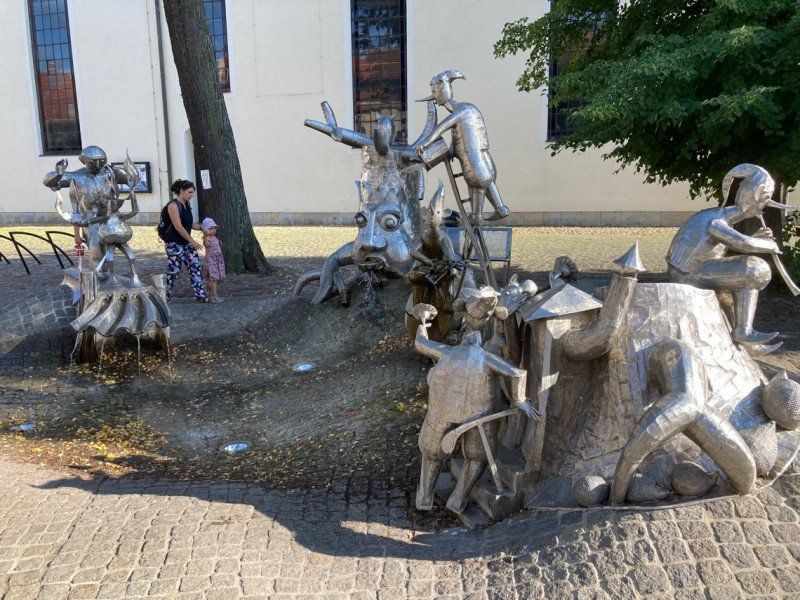
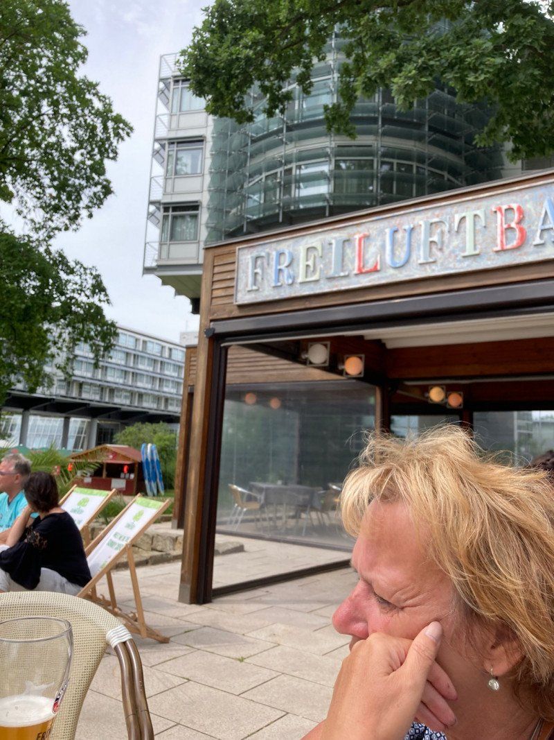
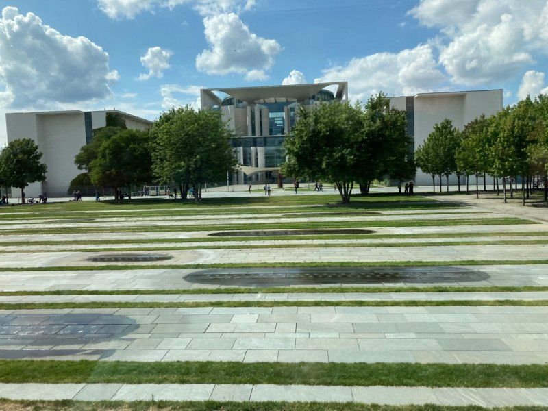
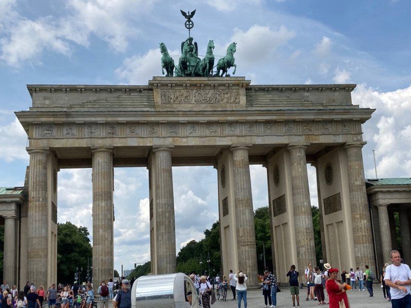
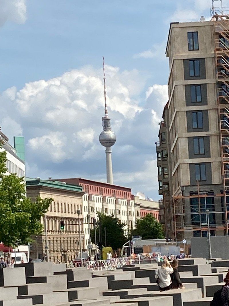
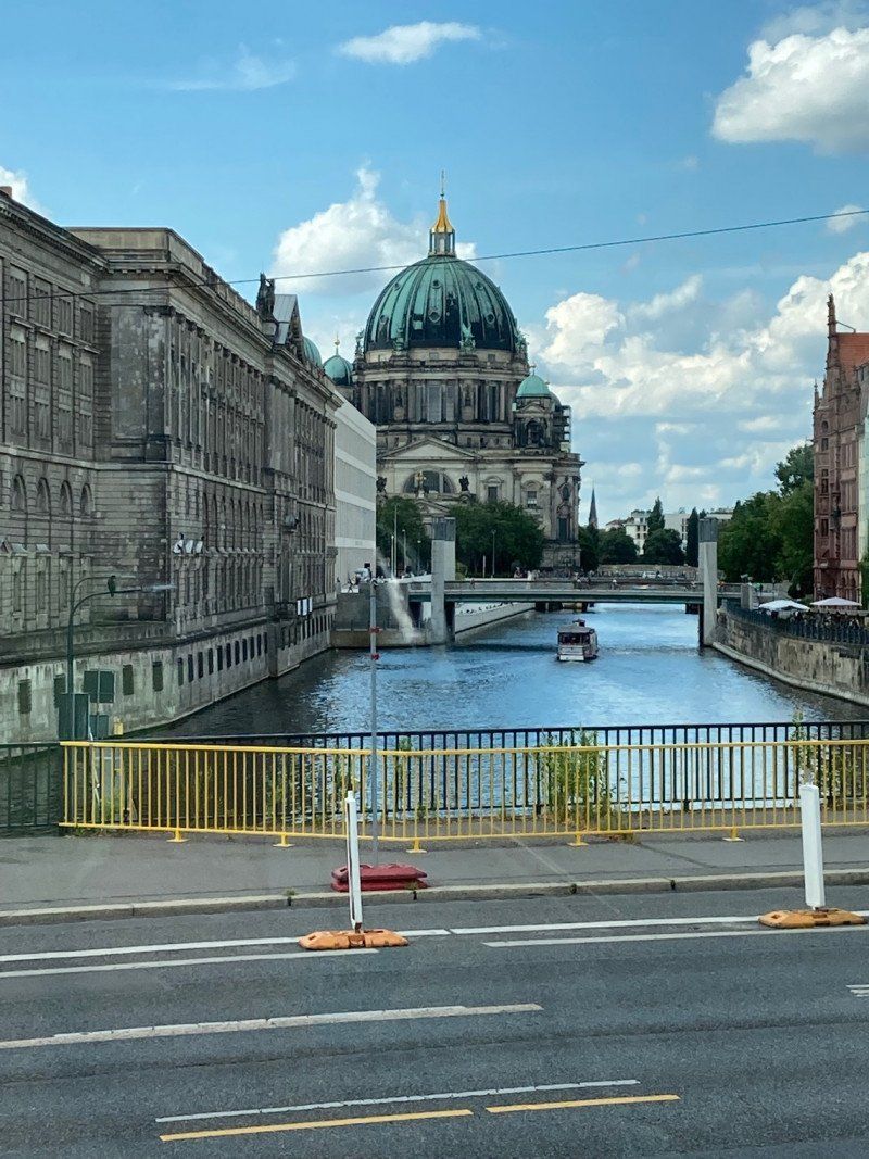
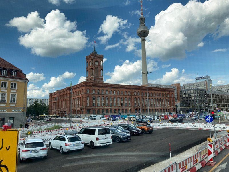
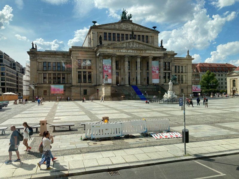
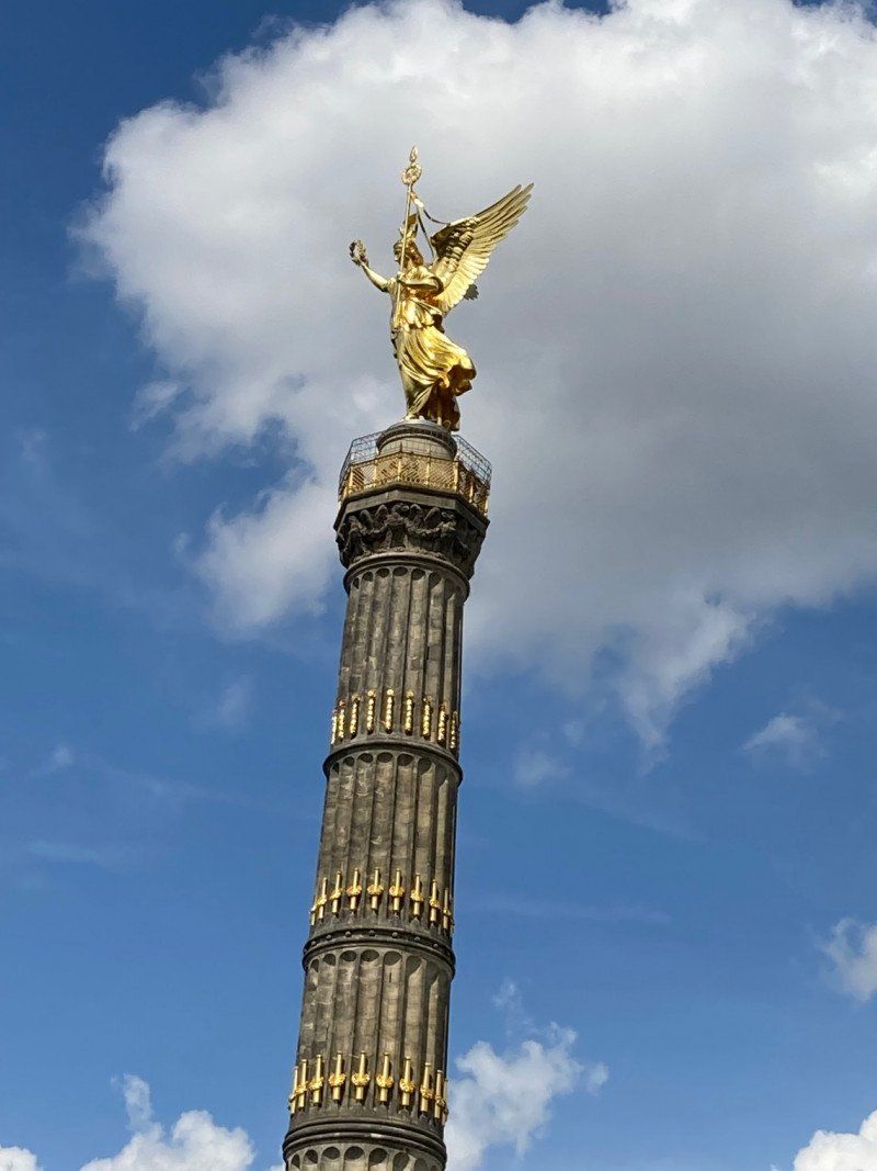
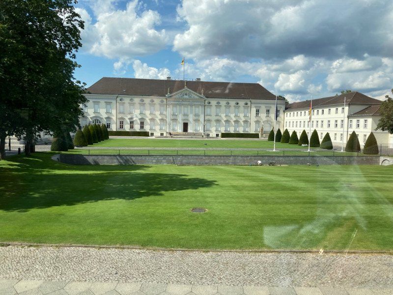
The campsite was the starting point for a visit to the capital Berlin.
Bäkehang 9, 14532 Kleinmachnow, Deutschland
52° 24' 0.9" N 13° 10' 43.4" E
52.4002439 13.1787192
• Head southeast on Bäkehang.
• Arrive at Bäkehang.
☍
Distance not available
(Duration not available)
Day
Bäkehang 9, Kleinmachnow, Deutschland
Bäkehang 9, 14532 Kleinmachnow, Deutschland
52° 24' 0.9" N 13° 10' 43.4" E
52.4002439 13.1787192
• Head toward Stolper Weg on Bäkehang. Go for 163 m.
• Turn right onto Stolper Weg. Go for 628 m.
• Take the 1st exit from roundabout onto Stolper Weg. Go for 150 m.
• Turn right and take ramp onto A115 toward Magdeburg/Leipzig/Berliner Ring. Go for 13.7 km.
• Take the left exit toward Hannover/Magdeburg/Leipzig onto A10 (Berliner Ring). Go for 12.2 km.
• Take exit 19 toward Hamburg/Rostock/Hannover/Magdeburg/Potsdam-Nord onto A10 (Berliner Ring). Go for 7.9 km.
• Continue on A2 (Autobahndreieck Werder) toward Hannover/Magdeburg. Go for 89.0 km.
• Take exit 70 toward Magdeburg-Zentrum/Magdeburg/Zentrum onto B189. Go for 8.1 km.
• Take ramp onto Adelheidring toward Stadtfeld/Diesdorf/Hauptbahnhof. Go for 497 m.
• Turn right onto Ernst-Reuter-Allee toward Zentrum/Hauptbahnhof/A2/Stendal/Haldensleben. Go for 1.2 km.
• Continue on Ernst-Reuter-Allee toward Cracau. Go for 141 m.
• Continue on Neue Strombrücke. Go for 427 m.
• Continue on Königin-Editha-Brücke. Go for 149 m.
• Turn right onto Am Winterhafen. Go for 243 m.
• Turn right onto Am Winterhafen. Go for 215 m.
• Arrive at Am Winterhafen. Your destination is on the right.
☍
134,7 km
(1 hrs. 17 min.)
Am Winterhafen 1, Magdeburg, Deutschland
Am Winterhafen 1, 39114 Magdeburg, Deutschland
52° 7' 27.9" N 11° 38' 48.7" E
52.1244086 11.6468484
• Head southwest on Am Winterhafen.
• Arrive at Am Winterhafen. Your destination is on the right.
☍
Distance not available
(Duration not available)
Day
Am Winterhafen 1, Magdeburg, Deutschland
Am Winterhafen 1, 39114 Magdeburg, Deutschland
52° 7' 27.9" N 11° 38' 48.7" E
52.1244086 11.6468484
• Head northeast on Am Winterhafen. Go for 215 m.
• Turn left onto Am Winterhafen. Go for 243 m.
• Turn left onto Königin-Editha-Brücke. Go for 162 m.
• Continue on Neue Strombrücke. Go for 422 m.
• Continue on Ernst-Reuter-Allee. Go for 1.2 km.
• Turn right and take ramp onto Magdeburger Ring (B71) toward Berlin/A2/Hannover/Haldensleben/Stendal. Go for 622 m.
• Keep left onto Magdeburger Ring (B71). Go for 5.9 km.
• Take ramp onto A2 toward Hannover. Go for 65.9 km.
• Take exit 58 toward Kassel/Salzgitter/Braunschweig-Süd onto A39. Go for 35.1 km.
• Take exit 40 toward SZ-Watenstedt/SZ-Bad/SZ-Gebhardshagen/SZ-Lebenstedt/Gewerbegebiet SZ-Watenstedt. Go for 314 m.
• Turn right onto Industriestraße Mitte (L472) toward Peine/SZ-Lebenstedt/SZ-Engelnstedt. Go for 380 m.
• Continue on Konrad-Adenauer-Straße (K30). Go for 2.0 km.
• Turn right onto Kattowitzer Straße (K8). Go for 573 m.
• Turn left onto Zum Salzgittersee. Go for 567 m.
• Turn left onto Zum Salzgittersee. Go for 39 m.
• Turn left. Go for 11 m.
• Arrive at your destination on the right.
☍
113,5 km
(1 hrs. 11 min.)
Stellplatz am Salzgittersee
Zum Salzgittersee , 38226, Salzgitter, Deutschland
52° 9' 8" N 10° 18' 46" E
52.1522222 10.3127778
• Head northeast.
• Arrive at your destination on the right.
☍
Distance not available
(Duration not available)
Day
Stellplatz am Salzgittersee
Zum Salzgittersee , 38226, Salzgitter, Deutschland
52° 9' 8" N 10° 18' 46" E
52.1522222 10.3127778
• Head toward Zum Salzgittersee. Go for 11 m.
• Turn right onto Zum Salzgittersee. Go for 39 m.
• Turn right onto Zum Salzgittersee. Go for 567 m.
• Turn right onto Kattowitzer Straße (K8). Go for 1.4 km.
• Take ramp onto A39 toward Kassel/Hannover/Hildesheim. Go for 13.6 km.
• Take the left exit toward Kassel onto A7. Go for 148 km.
• Take exit 84 toward Homberg (Efze)/Bad Wildungen/Fritzlar/Knüllwald. Go for 299 m.
• Take the 3rd exit from roundabout onto B323. Go for 688 m.
• Take the 3rd exit from roundabout onto Hauptstraße (L3153) toward Bad Hersfeld/Schwarzenborn/Gewerbegebiet Blumenfeld. Go for 4.6 km.
• Turn right onto Hüttenmühle (L3154). Go for 6.7 km.
• Turn right onto Hauptstraße (L3155) toward Neukirchen/Schwarzenborn. Go for 3.7 km.
• Continue on Neukirchener Straße (L3156). Go for 7.5 km.
• Turn sharp left onto Urbachweg. Go for 143 m.
• Turn right onto Urbachweg. Go for 272 m.
• Arrive at Urbachweg. Your destination is on the right.
☍
187,7 km
(1 hrs. 51 min.)
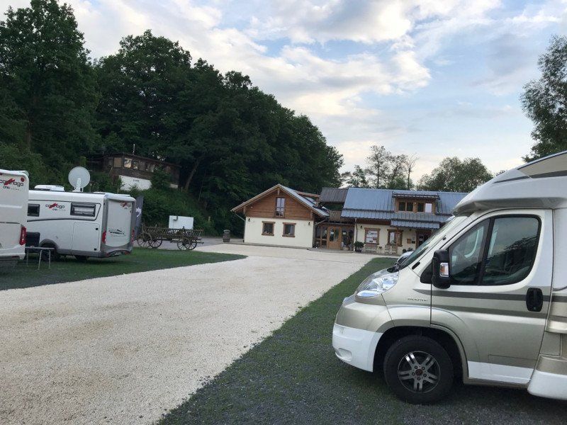
Reisemobilpark Urbachtal
Urbachweg 1, 34626, Neukirchen/Knüllgebirge, Deutschland
50° 52' 16.5" N 9° 20' 54.1" E
50.8712397 9.3483581
• Head southwest on Urbachweg.
• Arrive at Urbachweg. Your destination is on the right.
☍
Distance not available
(Duration not available)
Day
Reisemobilpark Urbachtal, Urbachweg, Neukirchen, Deutschland
Urbachweg 1, 34626 Neukirchen, Deutschland
50° 52' 16.5" N 9° 20' 54.1" E
50.8712397 9.3483581
• Head southwest on Urbachweg. Go for 121 m.
• Continue on Urbachstraße. Go for 324 m.
• Turn left onto Kurhessenstraße (B454). Go for 239 m.
• Turn right onto Bahnhofstraße (L3156) toward Alsfeld/Schrecksbach. Go for 2.6 km.
• Turn right onto K112 toward Röllshausen. Go for 2.5 km.
• Turn left onto B254. Go for 12.2 km.
• Turn left onto Hersfelder Straße (B62) toward Frankfurt/Kassel/Bad Hersfeld. Go for 843 m.
• Take ramp onto A5 toward Frankfurt. Go for 129 km.
• Continue on A67 (Darmstädter Kreuz) toward Stuttgart/Mannheim. Go for 22.7 km.
• Take exit 9 toward Worms/Bürstadt onto B47. Go for 14.8 km.
• Take ramp onto B9 toward A6/Ludwigshafen/Worms-Süd. Go for 1.5 km.
• Take ramp toward Worms-Zentrum. Go for 276 m.
• Take the 2nd exit from roundabout toward B47/Monsheim/Zentrum. Go for 278 m.
• Continue on Scheidtstraße. Go for 212 m.
• Continue on Gutleutstraße. Go for 166 m.
• Turn left onto Speyerer Straße. Go for 1.0 km.
• Take the 2nd exit from roundabout onto L395 toward Wo.-Weinsheim/Gewerbegebiet Südwest. Go for 283 m.
• Take the 2nd exit from roundabout onto L456 toward Wo.-Weinsheim/Gewerbegebiet Südwest. Go for 338 m.
• Take the 1st exit from roundabout onto Weinsheimer Straße (L456) toward Wo.-Weinsheim. Go for 964 m.
• Turn right onto Weinsheimer Hauptstraße (K3). Go for 1.1 km.
• Continue on Wiesoppenheimer Straße (K3). Go for 20 m.
• Turn left onto Neugasse. Go for 22 m.
• Turn slightly right onto Zum Haubert. Go for 123 m.
• Arrive at Zum Haubert. Your destination is on the left.
☍
191,9 km
(1 hrs. 56 min.)
Zum Haubert 18, Worms, Deutschland
Zum Haubert 18, 67551 Worms, Deutschland
49° 36' 11.9" N 8° 19' 22.1" E
49.6033001 8.3227964