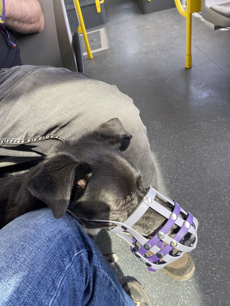
We're traveling in a 6-meter Knaus, a couple with a dog. Originally, we planned a quiet trip along the lakes of northern Italy. However, the weather there put a damper on our plans, and we quickly changed our plans. Instead, we opted for a city trip through Austria and the Czech Republic.
Day
14. Apr. 2025 -
14. Apr. 2025
Dortmund
We're starting with a delay. But it's starting
Nordrhein-Westfalen, Deutschland
51° 30' 51.2" N 7° 27' 55" E
51.5142273 7.4652789
• Head east on Kampstraße. Go for 83 m.
• Make a U-Turn onto Kampstraße. Go for 165 m.
• Turn right onto Hansastraße. Go for 45 m.
• Turn right onto Bissenkamp. Go for 184 m.
• Turn left onto Lütge Brückstraße. Go for 69 m.
• Turn right onto Hansastraße. Go for 114 m.
• Turn right onto Königswall (B54). Go for 117 m.
• Continue on Burgwall (B54). Go for 1.4 km.
• Turn left onto Ruhrallee (B54) toward Flughafen/Unna/B1/DO-Aplerbeck/DO-Hörde/Bochum/Hagen/Hohensyburg. Go for 131 m.
• Keep right onto Ruhrallee (B54) toward Bochum/B1/Hagen/Hohensyburg. Go for 7.3 km.
• Take ramp onto A45 toward Frankfurt a.M./Hagen/Köln. Go for 28.1 km.
• Take exit 13 toward Altena/Schalksmühle. Go for 552 m.
• Continue on L692. Go for 1.3 km.
• Turn left onto Heedfelder Landstraße (L561). Go for 3.3 km.
• Turn left onto Rahmedestraße. Go for 247 m.
• Turn left onto Rahmedestraße (L691). Go for 2.6 km.
• Turn left onto Werdohler Landstraße (L691). Go for 279 m.
• Turn left onto Brunscheider Straße (L655). Go for 415 m.
• Turn left and take ramp onto A45 toward Frankfurt a.M. Go for 183 km.
• Continue on A45 toward München/Würzburg. Go for 19.8 km.
• Continue on E41 (Seligenstädter Dreieck) toward München/Würzburg. Go for 108 m.
• Take the left exit toward München/Würzburg onto A3. Go for 95.0 km.
• Take the exit toward Kassel/Erfurt/Schweinfurt/Ulm/Rothenburg onto A7. Go for 174 km.
• Take exit 121 toward Neu-Ulm/Pfuhl/Burlafingen onto B10. Go for 8.0 km.
• Keep left onto Europastraße (B10) toward Ulm/Gewerbegebiet Ulm-Donautal/B28. Go for 1.3 km.
• Take the 2nd exit from roundabout onto Wiblinger Straße (St2021) toward Neu-Ulm. Go for 526 m.
• Turn left onto Öschweg. Go for 125 m.
• Turn left. Go for 41 m.
• Turn right. Go for 28 m.
• Arrive at your destination on the left.
☍
528,5 km
(5 hrs. 1 min.)
14. Apr. 2025 -
15. Apr. 2025
Wohnmobilstellplatz am Donaubad
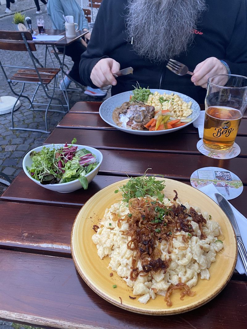
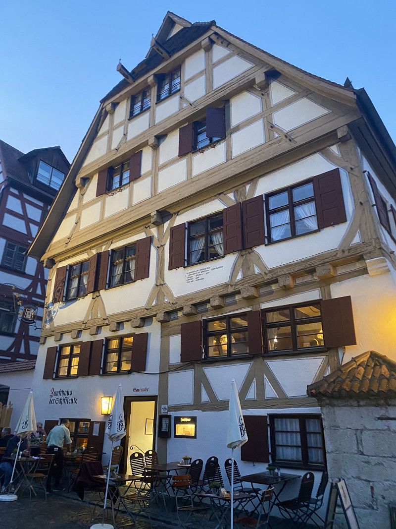
Via p4n. Unfortunately, we left a little late, so we didn't arrive until just before 6 p.m. We went into Ulm and ate some very good spaetzle. It's worth a quick stop.
Öschweg 6, Neu-Ulm, Landkreis Neu-Ulm, Bayern, Deutschland
48° 22' 59.5" N 9° 59' 8.2" E
48.3831906 9.9856068
• Head east. Go for 28 m.
• Turn left toward Öschweg. Go for 41 m.
• Turn right onto Öschweg. Go for 125 m.
• Turn right onto Wiblinger Straße (St2021). Go for 423 m.
• Keep left onto Wiblinger Straße (St2021) toward Kempten/A7/Lindau/Friedrichshafen/B30. Go for 53 m.
• Take the 3rd exit from roundabout onto B28 toward Füssen/A7/Friedrichshafen/B30. Go for 10.2 km.
• Take the left exit toward Füssen/Kempten/Memmingen/Lindau onto A7. Go for 111 km.
• Continue on Grenztunnel Füssen (B179). Go for 49.1 km.
• Continue on Mieminger Bundesstraße (B189). Go for 13.4 km.
• Take the 1st exit from roundabout onto Krebsbach (L236) toward Innsbruck/Bregenz/Mötz. Go for 5.0 km.
• Turn right and take ramp onto A12 (Inntal Autobahn) toward Innsbruck. Go for 35.6 km.
• Keep right onto A13 (Knoten Innsbruck-Wilten) toward E45/Bozen/Brenner/Innsbruck-Süd. Go for 5.7 km.
• Take exit 7 toward Patsch-Igls. Go for 1.1 km.
• Turn left onto Ahrn. Go for 303 m.
• Arrive at Ahrn. Your destination is on the left.
☍
232,3 km
(2 hrs. 39 min.)
Day
15. Apr. 2025 -
16. Apr. 2025
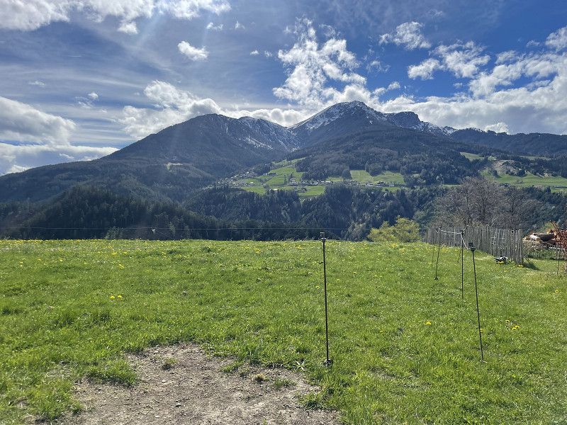
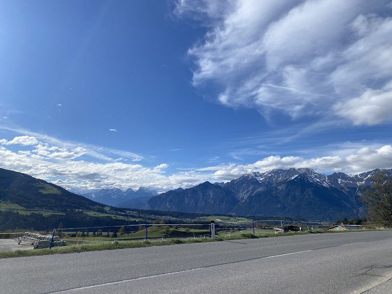
Ahrnhof
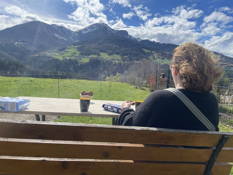
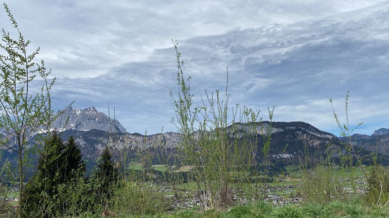
Through Landvergnügen. Very nice hosts. Unfortunately, it was very windy, and we could only have a quick coffee outside and not eat. But a short hike to Patsch was okay.
Bezirk Innsbruck-Land, Tirol, Österreich
47° 12' 45.1" N 11° 24' 5.2" E
47.2125230 11.4014371
• Head south on Ahrn. Go for 238 m.
• Turn left onto Ahrn. Go for 65 m.
• Turn right and take ramp onto A13 (Brenner Autobahn) toward Innsbruck. Go for 7.8 km.
• Continue on A12 (Inntal Autobahn). Go for 1.3 km.
• Take exit 73 toward Innsbruck-Ost onto B174 (Amraser-See-Straße). Go for 1.4 km.
• Keep left onto Innsbrucker Bundesstraße (B174) toward Zentrum Innsbruck. Go for 683 m.
• Turn slightly right onto Amraser Straße. Go for 321 m.
• Turn right onto Rudolf-Greinz-Straße toward Zentrum. Go for 156 m.
• Continue on Langstraße. Go for 482 m.
• Continue on Pembaurstraße. Go for 612 m.
• Continue on Pembaurbrücke. Go for 37 m.
• Continue on Bienerstraße. Go for 527 m.
• Turn left onto Falkstraße. Go for 114 m.
• Take the 2nd exit from roundabout onto Falkstraße. Go for 55 m.
• Arrive at Falkstraße. Your destination is on the right.
☍
13,7 km
( 15 min.)
Day
16. Apr. 2025 -
16. Apr. 2025
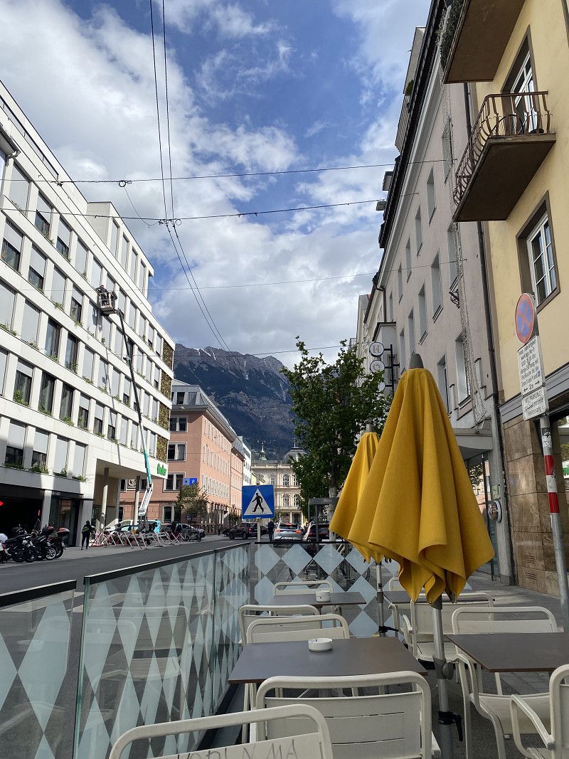
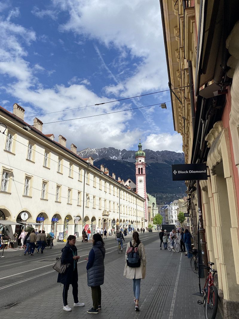
Parken Messe
In p4n. A quick tour of Innsbruck. You can easily park at the trade fair center within walking distance of the old town. Probably even overnight. We only spent a few hours there.
Siebererstraße 8, Innsbruck, Tirol, Österreich
47° 16' 20.9" N 11° 24' 7.7" E
47.2724641 11.4021465
• Head south on Falkstraße. Go for 71 m.
• Turn right onto Kochstraße. Go for 163 m.
• Turn right onto Kaiserjägerstraße. Go for 223 m.
• Turn right onto Bienerstraße. Go for 697 m.
• Continue on Pembaurbrücke. Go for 37 m.
• Continue on Pembaurstraße. Go for 612 m.
• Continue on Langstraße. Go for 482 m.
• Continue on Rudolf-Greinz-Straße. Go for 156 m.
• Turn left onto Amraser Straße. Go for 321 m.
• Turn slightly left onto Amraser-See-Straße (B174). Go for 1.4 km.
• Take left ramp onto A12 (Inntal Autobahn) toward Salzburg/München. Go for 56.6 km.
• Take exit 17 toward B178/Felbertauern/Brixental onto Anschlussstelle Wörgl Ost. Go for 1.9 km.
• Continue on Loferer Bundesstraße (B178). Go for 27.7 km.
• Take ramp onto Pass-Thurn-Straße (B161) toward Lienz/Kitzbühel/Oberndorf/St. Johann-Süd/St. Johann i. T. Go for 1.2 km.
• Turn left toward St. Johann Süd. Go for 143 m.
• Continue on Speckbacher. Go for 1.5 km.
• Turn right onto Apfeldorf. Go for 99 m.
• Turn slightly left onto Apfeldorf. Go for 250 m.
• Arrive at Apfeldorf. Your destination is on the right.
☍
93,6 km
(1 hrs. 13 min.)
16. Apr. 2025 -
16. Apr. 2025
Apfeldorf
We actually wanted to sleep here. But someone came and said it was forbidden. So we just took a short hike and then moved on.
Apfeldorf 20a, Sankt Johann in Tirol, Bezirk Kitzbühel, Tirol, Österreich
47° 30' 48.7" N 12° 25' 11" E
47.5135346 12.4197196
• Head north on Apfeldorf. Go for 250 m.
• Turn slightly right onto Apfeldorf. Go for 99 m.
• Turn slightly right onto Speckbacherstraße. Go for 762 m.
• Turn right onto Brauweg. Go for 244 m.
• Take the 2nd exit from roundabout onto Brauweg. Go for 121 m.
• Continue on Bahnhofstraße. Go for 165 m.
• Take the 2nd exit from roundabout onto Meraner Straße (B164). Go for 1.3 km.
• Turn right onto Niederhofen (B178). Go for 6.1 km.
• Turn left onto Kössener Straße (L39). Go for 11.5 km.
• Turn right onto Walchsee Bundesstraße (B172). Go for 2.7 km.
• Continue on Tiroler Straße (St2364). Go for 1.7 km.
• Turn right onto Brunnenstraße. Go for 78 m.
• Turn left onto Brunnenstraße. Go for 43 m.
• Turn right onto Brunnenstraße. Go for 26 m.
• Arrive at Brunnenstraße. Your destination is on the right.
☍
25,0 km
( 26 min.)
16. Apr. 2025 -
17. Apr. 2025
Reit im Winkl
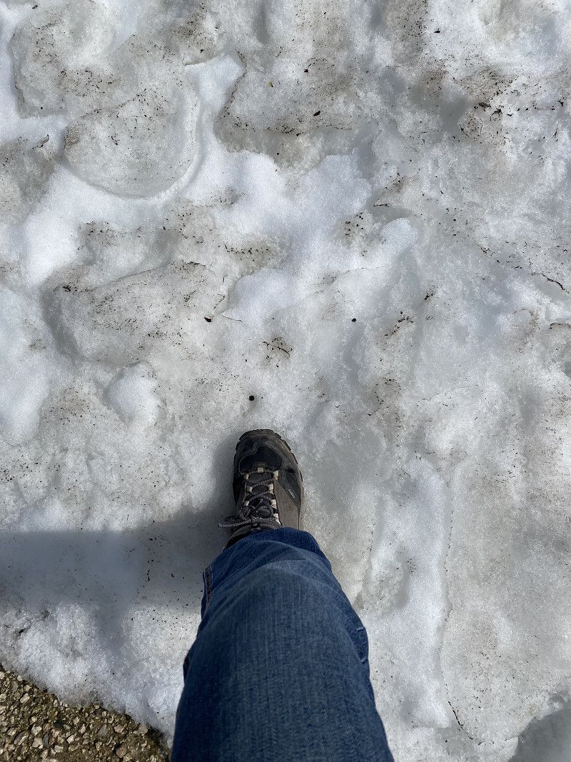
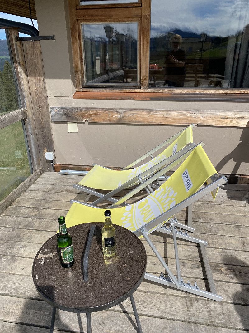
Here we opted for the RV parking lot. Hardly anyone was there yet, as it was actually just before opening. It's sure to be very busy in the summer.
Landkreis Traunstein, Bayern, Deutschland
47° 40' 35.9" N 12° 28' 13.3" E
47.6766357 12.4703473
• Head north on Brunnenstraße. Go for 26 m.
• Turn right onto Brunnenstraße. Go for 23 m.
• Turn right onto Weitseestraße (B305). Go for 21.2 km.
• Take the 2nd exit from roundabout onto Seehauser Straße (St2098) toward München/Salzburg/Traunstein/Siegsdorf/Ruhpolding. Go for 2.6 km.
• Take the 2nd exit from roundabout onto St2098. Go for 7.7 km.
• Take the 2nd exit from roundabout onto Deutsche Alpenstraße (B306) toward A8/Traunstein/Siegsdorf. Go for 915 m.
• Turn left and take ramp onto A8 toward Salzburg. Go for 25.6 km.
• Continue on A1 (West Autobahn). Go for 12.0 km.
• Take exit 288 toward Wien/Linz/Bergheim-Ost onto B150 (Salzburger Bundesstraße). Go for 937 m.
• Continue on Lamprechtshausener Bundesstraße (B156). Go for 874 m.
• Turn right onto Moosfeldstraße toward Hallwang/Kasern/Lengfelden Siedlung/Gewerbegebiet Lengfelden-Kasern. Go for 208 m.
• Continue on Alte Mattseer Straße. Go for 442 m.
• Turn right onto Carl-Zuckmayer-Straße. Go for 206 m.
• Turn left onto Carl-Zuckmayer-Straße. Go for 57 m.
• Turn left. Go for 9 m.
• Turn right. Go for 28 m.
• Arrive at your destination.
☍
72,8 km
( 57 min.)
Day
17. Apr. 2025 -
18. Apr. 2025
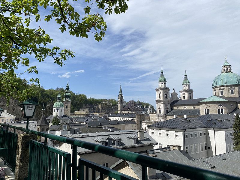
Reisemobil-Stellplatz Salzburg
We arrived quite early and were able to pick a parking spot. Then we took the bus to the old town. It was warm but very windy.
Carl-Zuckmayer-Straße 26, 5101, Salzburg, Austria
47° 50' 8.8" N 13° 3' 37.5" E
47.8357800 13.0604300
• Head southwest. Go for 28 m.
• Turn left. Go for 9 m.
• Turn right toward Carl-Zuckmayer-Straße. Go for 16 m.
• Continue on Carl-Zuckmayer-Straße. Go for 1.0 km.
• Turn right onto Salzburger Straße (B150). Go for 48 m.
• Take ramp onto A1 (West Autobahn) toward Wien/Linz. Go for 119 km.
• Take the exit toward Praha/Freistadt/Linz onto A7 (Mühlkreis Autobahn). Go for 6.8 km.
• Take the left exit toward Linz-Zentrum/Bahnhof onto B139 (Kremstal Bundesstraße). Go for 2.1 km.
• Keep left onto Waldeggstraße (B139) toward Passau/Rohrbach. Go for 1.9 km.
• Turn right onto Obere Donauländestraße (B129). Go for 322 m.
• Turn right onto Obere Donauländestraße (B129). Go for 165 m.
• Arrive at Obere Donauländestraße (B129).
☍
130,9 km
(1 hrs. 15 min.)
Day
18. Apr. 2025 -
18. Apr. 2025
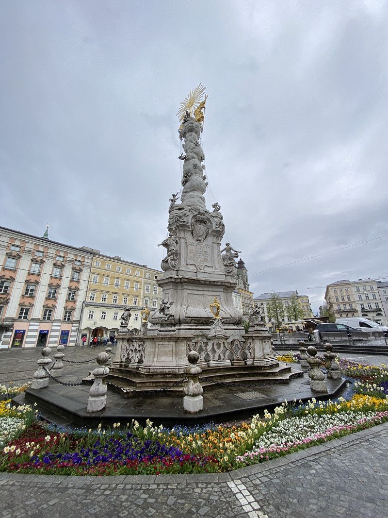
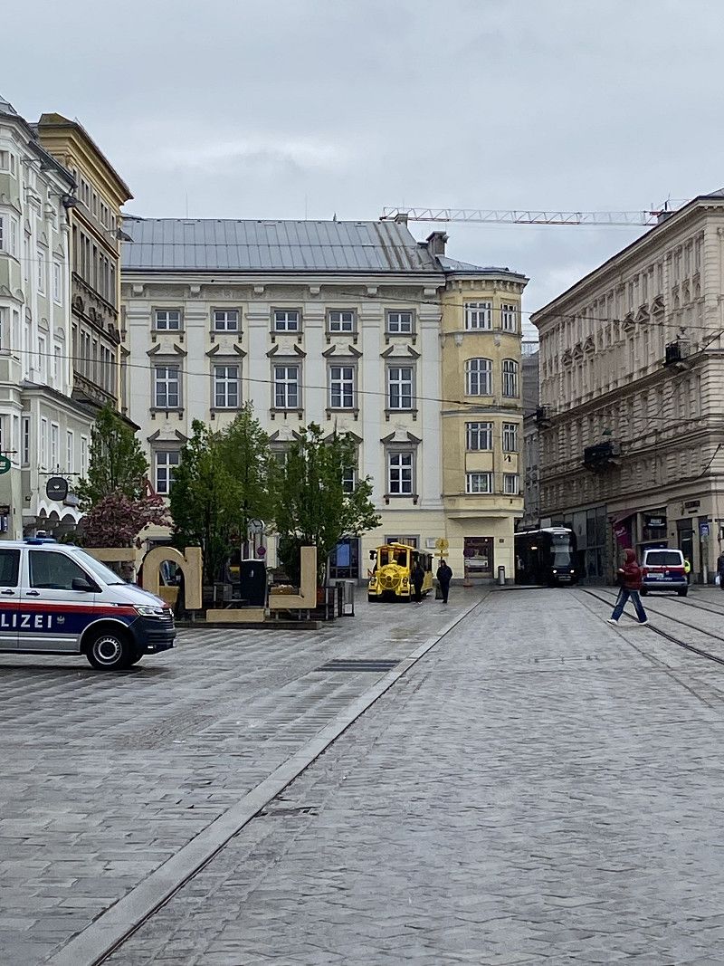
Linz
It rained the entire way. We simply parked on the banks of the Danube in Linz for 90 minutes and explored the city (without rain, just a few scattered drops).
Oberösterreich, Österreich
48° 18' 21.3" N 14° 17' 10.3" E
48.3059078 14.2861980
• Head west on Obere Donauländestraße (B129). Go for 487 m.
• Turn left onto Kremstal Bundesstraße (B139) toward Wien/Salzburg/Passau/A7. Go for 663 m.
• Keep left onto Hopfengasse (B139). Go for 1.2 km.
• Keep right onto Waldeggstraße (B139). Go for 1.1 km.
• Take left ramp onto A7 (Mühlkreis Autobahn) toward Wien/Salzburg. Go for 6.8 km.
• Take the left exit toward E60/Wien/St. Pölten/Asten-St. Florian onto A1 (West Autobahn). Go for 8.9 km.
• Take exit 160 toward B1/Asten-St.Florian/St. Florian/Tillysburg onto L566 (Ipf Landesstraße). Go for 3.2 km.
• Take the 2nd exit from roundabout onto Ipf Landesstraße (L566). Go for 1.2 km.
• Take the 2nd exit from roundabout onto Wolfener Landesstraße (L564). Go for 1.5 km.
• Turn right onto Hohenbrunner Straße (L1374). Go for 1.6 km.
• Turn left onto Mickstetten. Go for 267 m.
• Turn left onto Mickstetten. Go for 558 m.
• Turn slightly left onto Güterweg Steggraben. Go for 713 m.
• Turn right toward Steggraben. Go for 107 m.
• Turn slightly left onto Steggraben. Go for 126 m.
• Arrive at Steggraben. Your destination is on the left.
☍
28,3 km
( 26 min.)
17. Apr. 2025 -
18. Apr. 2025
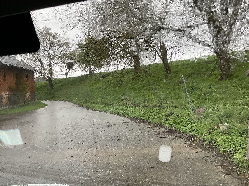
Biograbnerhof
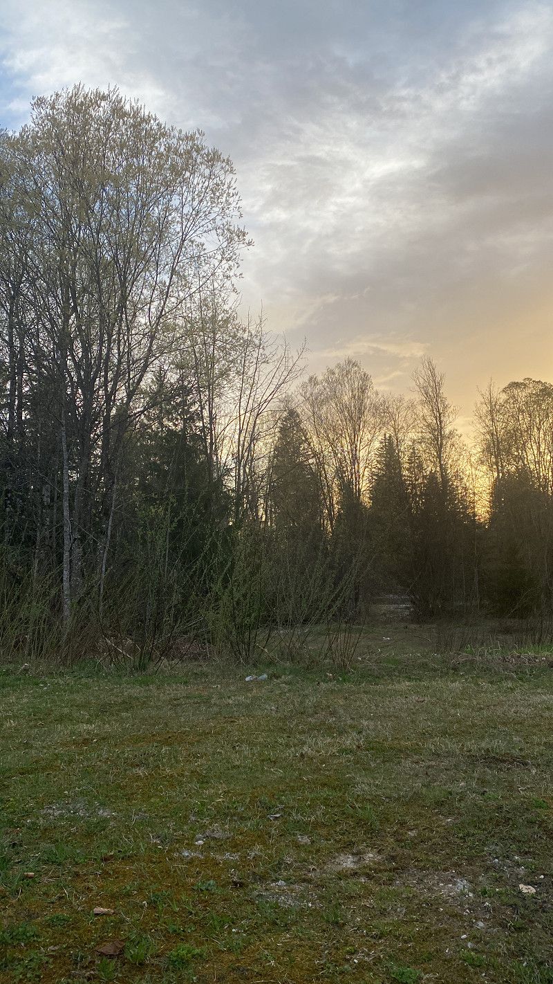
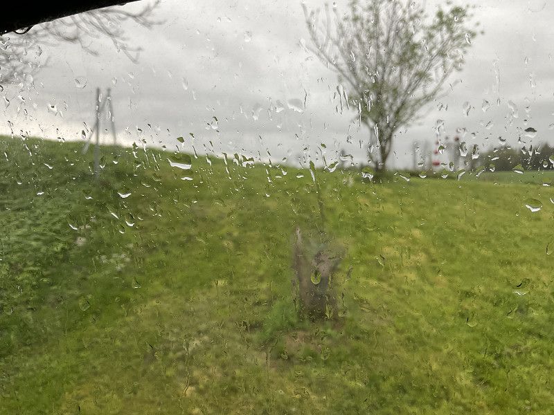
After the city tour, we drove to our overnight accommodation. We stopped at this wonderful farm above Landvergnügen. We were able to buy some delicious bread and felt very safe. Even the rain didn't bother us.
Bezirk Linz-Land, Oberösterreich, Österreich
48° 10' 31.4" N 14° 19' 37.8" E
48.1753919 14.3271799
• Head northeast on Steggraben. Go for 126 m.
• Turn slightly right toward Güterweg Steggraben. Go for 107 m.
• Turn left onto Güterweg Steggraben. Go for 713 m.
• Turn slightly right toward Mickstetten. Go for 426 m.
• Continue on Mickstetten. Go for 132 m.
• Turn right onto Mickstetten. Go for 267 m.
• Turn right onto Sankt Marien Landesstraße (L1374). Go for 1.5 km.
• Turn left onto Wolfener Landesstraße (L564). Go for 1.5 km.
• Take the 2nd exit from roundabout onto Ipf Landesstraße (L566). Go for 1.2 km.
• Take the 2nd exit from roundabout onto Ipf Landesstraße (L566). Go for 2.8 km.
• Turn left and take ramp onto A1 (West Autobahn) toward Wien/St. Pölten. Go for 152 km.
• Continue on Wientalstraße (B1). Go for 1.8 km.
• Turn left onto Brauhausbrücke. Go for 53 m.
• Continue on Bergmillergasse. Go for 28 m.
• Take the 2nd exit from roundabout onto Bergmillergasse. Go for 321 m.
• Continue on Hüttelbergstraße. Go for 1.6 km.
• Arrive at Hüttelbergstraße. Your destination is on the right.
☍
164,5 km
(1 hrs. 32 min.)
Day
19. Apr. 2025 -
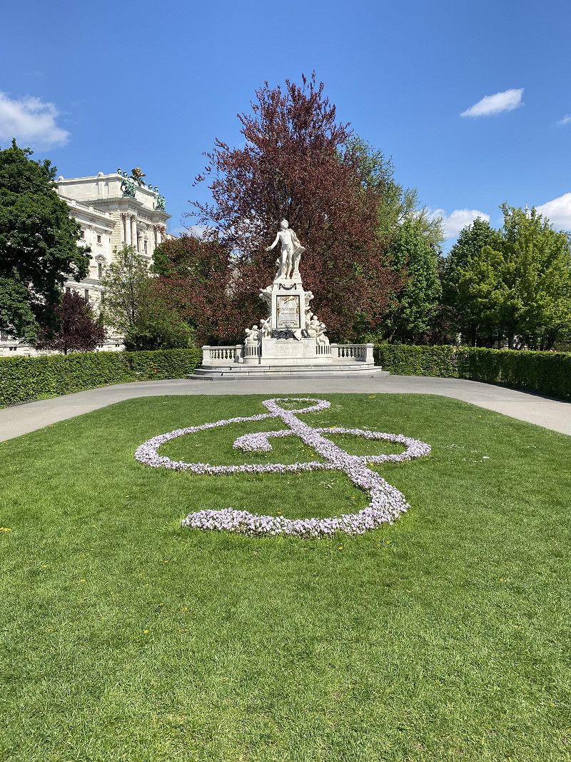
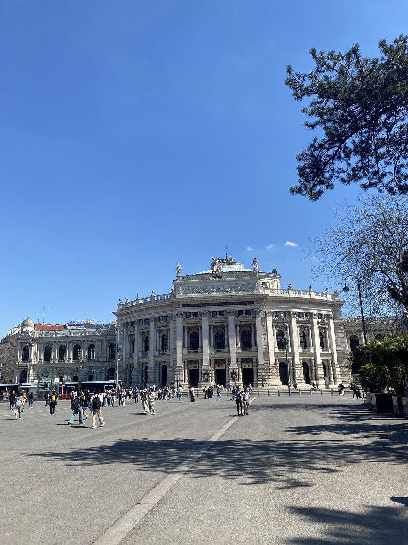
21. Apr. 2025
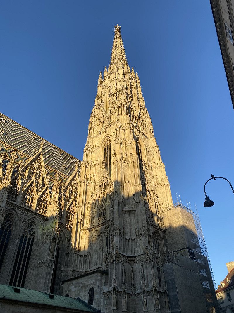
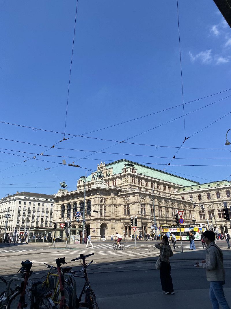
Camping Wien West
Via p4n. Very disorganized site. The assigned spot was taken, so we had to move to another one. Then several people came up to us, saying the spot was for them. It was a complete mess. But it's a really good location for exploring Vienna. We stayed there for two nights. The site isn't great for caravans.
Hüttelbergstraße 80, Wien, Österreich
48° 12' 53.1" N 16° 15' 0.4" E
48.2147550 16.2501002
• Head toward Knödelhüttenstraße on Hüttelbergstraße. Go for 1.6 km.
• Continue on Bergmillergasse. Go for 280 m.
• Take the 2nd exit from roundabout onto Bergmillergasse. Go for 69 m.
• Continue on Brauhausbrücke. Go for 53 m.
• Turn left onto Wientalstraße (B1). Go for 331 m.
• Turn left onto Hütteldorfer Brücke. Go for 46 m.
• Turn left onto Hadikgasse (B1). Go for 2.2 km.
• Keep left onto A1 (West Autobahn) toward Linz/St. Pölten/Pressbaum. Go for 45.7 km.
• Take the exit toward Krems/St.Pölten-Ost/Landhaus onto S33 (Kremser Schnellstraße). Go for 22.5 km.
• Take the exit toward Krems onto B37a (Kremser Bundesstraße). Go for 13.3 km.
• Keep left onto Kremser Bundesstraße (B37) toward Zwettl/Gföhl. Go for 47.0 km.
• Take ramp onto Weitraer Straße (L71) toward Weitra. Go for 17.8 km.
• Turn right onto Greiner Bundesstraße (B119). Go for 4.1 km.
• Take the 3rd exit from Sparkasseplatz roundabout onto Sparkasseplatz (L71) toward Heinrichs/Wultschau/Nové Hrady/Altstadt. Go for 145 m.
• Continue on Bergzeile (L71). Go for 703 m.
• Continue on Böhmstraße (L71). Go for 615 m.
• Turn right onto L71. Go for 83 m.
• Continue on Vorstadt (L71). Go for 291 m.
• Continue on L71. Go for 373 m.
• Continue on Am Bohmberg (L71). Go for 385 m.
• Continue on L71. Go for 2.2 km.
• Continue on Schagges (L71). Go for 716 m.
• Continue on L71. Go for 1.9 km.
• Continue on Heinrichs bei Weitra (L71). Go for 656 m.
• Continue on L71. Go for 3.1 km.
• Continue on Pyhrabruck (L71). Go for 619 m.
• Continue on L71. Go for 545 m.
• Continue on Nové Hrady (15616). Go for 1.4 km.
• Continue on 15616. Go for 242 m.
• Continue on Vitorazská (15616). Go for 806 m.
• Continue on Zahradní čtvrť (15618). Go for 16 m.
• Continue on Vitorazská (15618). Go for 155 m.
• Turn slightly right onto 15618 toward 156/Trhové Sviny. Go for 658 m.
• Continue toward Štiptoň/154. Go for 37 m.
• Take the 3rd exit from roundabout onto Na Vyhlídce (154). Go for 1.4 km.
• Turn right onto Údolí (156). Go for 20.8 km.
• Pass 3 roundabouts and continue on Novohradská (156). Go for 9.3 km.
• Keep left onto Novohradská (156) toward Mladé. Go for 55 m.
• Take the 3rd exit from roundabout onto Novohradská toward Mladé. Go for 2.2 km.
• Turn left onto Mánesova (156) toward Plzeň/20/Č. Krumlov/39/Centrum. Go for 1.4 km.
• Continue on Mánesova. Go for 121 m.
• Take ramp onto 3 toward Praha/Brno/Plzeň/Týn n. Vltavou/20/34/105/E49. Go for 624 m.
• Turn right toward Litvínovická. Go for 51 m.
• Turn left onto Litvínovická. Go for 182 m.
• Arrive at Litvínovická. Your destination is on the right.
☍
206,6 km
(2 hrs. 26 min.)
Day
21. Apr. 2025 -
22. Apr. 2025
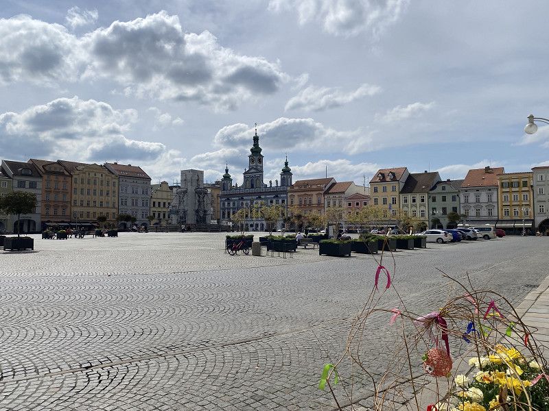
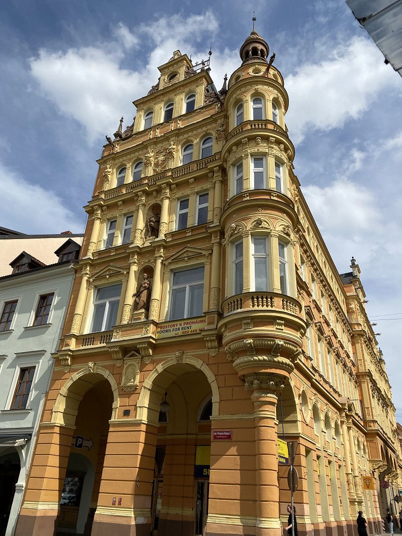
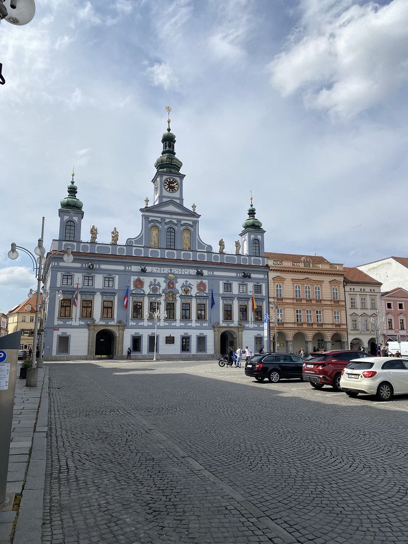
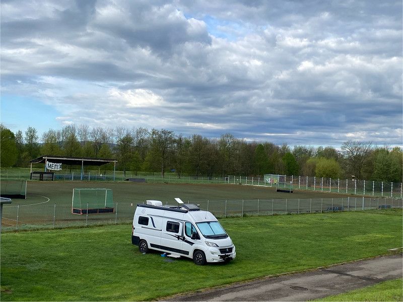
Wirkliche Adresse 27 Jana Kollára
We found this small spot via P4N. We were basically parking on a sports field. Along the Vltava River, you can walk into the old town of Budweis. Until the evening, we were parked on the
The sports field was still playing. The night and morning were very quiet, however.
Litvínovická 12, Budweis, Südböhmische Region, Südwesten, Tschechien
48° 57' 59.6" N 14° 27' 40" E
48.9665691 14.4611048
• Head northeast on Litvínovická. Go for 182 m.
• Turn right toward 3. Go for 51 m.
• Turn left onto 3. Go for 199 m.
• Take ramp onto Litvínovický most (156) toward Nové Hrady/Trhové Sviny/Centrum. Go for 3.9 km.
• Turn right onto E49 toward Pekárenská/J. Hradec/Praha/Husova Kolonie/34/E551/E55. Go for 341 m.
• Take the 2nd exit from roundabout onto E49 toward Praha/J. Hradec/34/Třeboň. Go for 1.3 km.
• Take the 2nd exit from roundabout onto E49 toward Praha/Wien/J. Hradec/E551. Go for 1.5 km.
• Take ramp onto D3 toward Praha. Go for 69.5 km.
• Continue on E55 toward Praha/Votice. Go for 26.4 km.
• Take the 2nd exit from roundabout onto E55 toward 112/Vlašim/Divišov. Go for 3.1 km.
• Keep right toward Praha/Čerčany. Go for 45 m.
• Take the 2nd exit from roundabout onto E55 toward Praha. Go for 14.4 km.
• Take left ramp onto D1 toward Praha. Go for 21.3 km.
• Keep left onto 5. května (8) toward Praha/Plzeň/Letiště. Go for 581 m.
• Keep left onto 5. května (8). Go for 9.4 km.
• Keep left onto Hlávkův most. Go for 39 m.
• Continue on Bubenská. Go for 571 m.
• Turn right onto Bubenská. Go for 251 m.
• Turn right toward Železničářů. Go for 41 m.
• Continue on Železničářů. Go for 500 m.
• Turn right. Go for 28 m.
• Turn right. Go for 118 m.
• Arrive at your destination on the left.
☍
153,6 km
(1 hrs. 41 min.)
Day
22. Apr. 2025 -
24. Apr. 2025
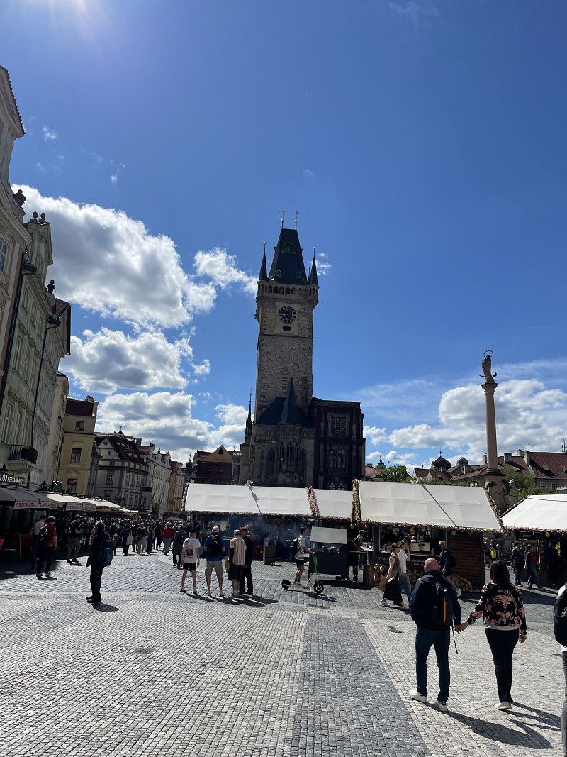
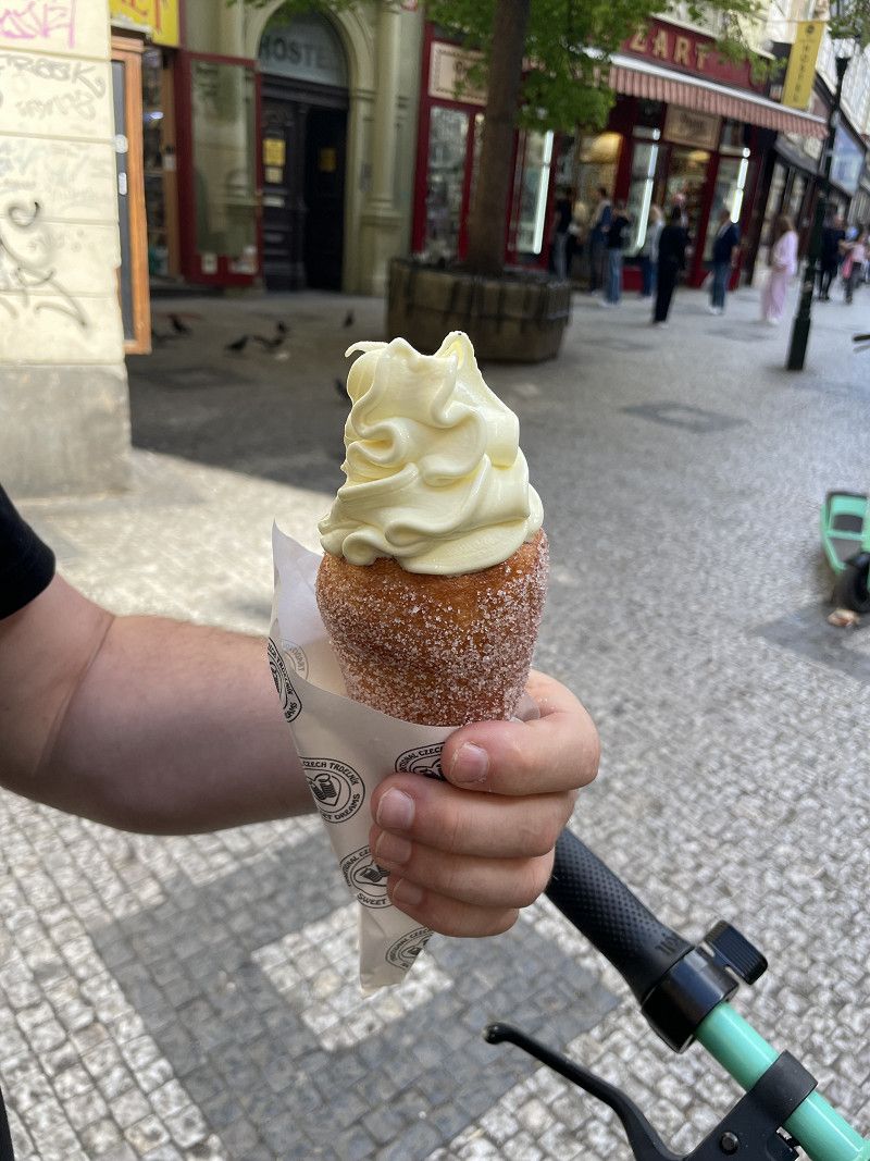
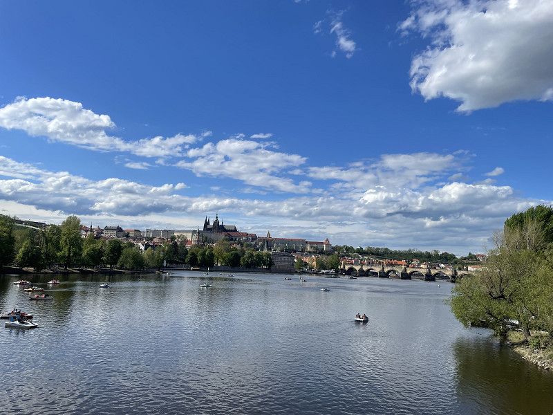
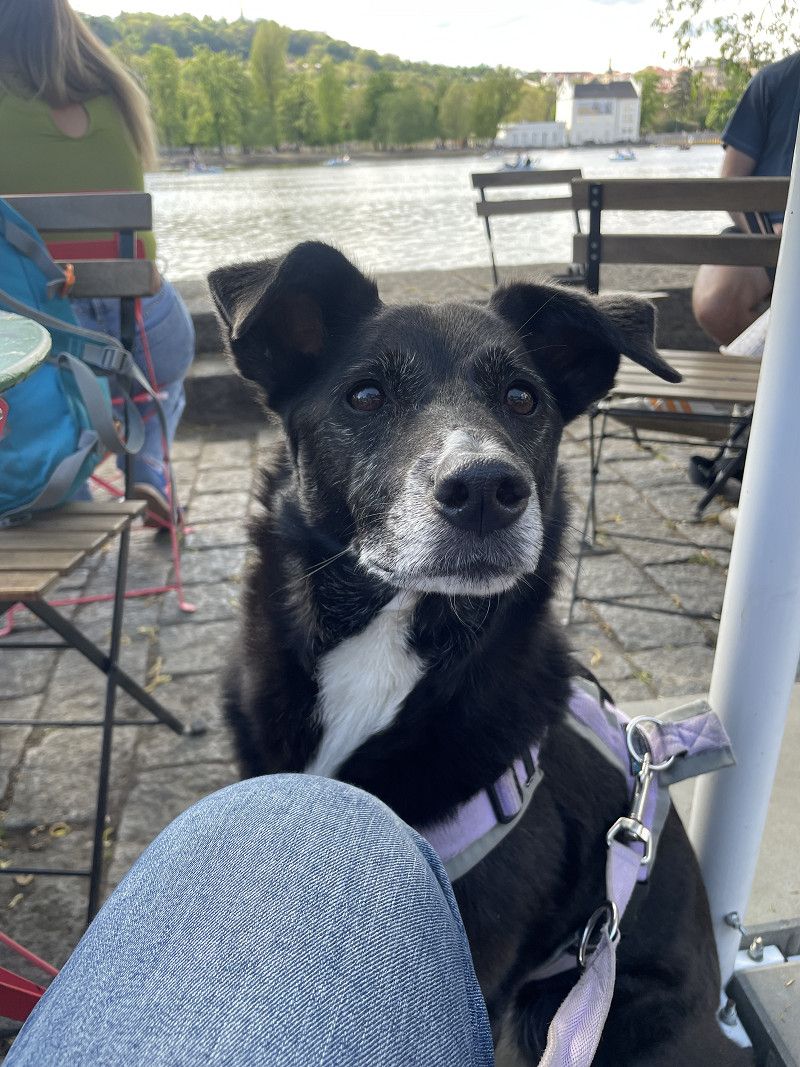
Prag
Found it via p4n. A guarded parking lot near a metro, bus, and tram stop. There's also electricity. We stayed here for two nights to explore Prague. Bad weather is forecast after that. We'll see if we head home after that.
Argentinská, Capital City of Prague, Prague, Czechia
50° 6' 19.1" N 14° 26' 33.1" E
50.1052981 14.4425340
• Head north. Go for 118 m.
• Turn left toward Železničářů. Go for 28 m.
• Turn right onto Železničářů. Go for 153 m.
• Turn right onto Plynární. Go for 110 m.
• Turn left onto Argentinská (8) toward Prosek/Městský okruh. Go for 4.8 km.
• Keep left onto Liberecká (8) toward Ústí n. L./Mělník/E55. Go for 2.7 km.
• Keep left onto Cínovecká (E55) toward Dresden/Teplice/Mělník/Ústí n. L./D8. Go for 1.9 km.
• Continue on D8. Go for 94.5 km.
• Continue on A17. Go for 44.3 km.
• Take the left exit toward Chemnitz/Leipzig onto A4. Go for 17.2 km.
• Take exit 76 toward Magdeburg/Halle/Leipzig onto A14. Go for 67.4 km.
• Take exit 28 toward Göttingen/Leipzig-Südost/München/A9 onto A38. Go for 220 km.
• Take the left exit toward Frankfurt a.M./Kassel onto A7. Go for 38.1 km.
• Take the exit toward Dortmund/Paderborn/Kreuz Kassel-West onto A44. Go for 148 km.
• Continue on B1 (Ruhrschnellweg). Go for 11.2 km.
• Turn slightly right onto Voßkuhle toward DO-Körne. Go for 545 m.
• Turn left onto Im Defdahl. Go for 243 m.
• Continue on Von-der-Goltz-Straße. Go for 421 m.
• Continue on Franziskanerstraße. Go for 192 m.
• Turn left onto Kaiserstraße (L663). Go for 1.1 km.
• Turn right onto Schwanenwall (B54). Go for 338 m.
• Keep left onto Burgwall (B54) toward A1/A44/A45/A40/Lünen/Hagen/Do-Huckarde. Go for 372 m.
• Continue on Königswall (B54) toward B1/DO-Huckarde/Hagen. Go for 106 m.
• Turn left onto Hansastraße. Go for 285 m.
• Turn slightly left onto Kampstraße. Go for 101 m.
• Arrive at Kampstraße. Your destination is on the right.
☍
654,1 km
(5 hrs. 52 min.)
Day
24. Apr. 2025 -
24. Apr. 2025
Dortmund
The weather is getting bad. Last night it rained. We're going home.
Nordrhein-Westfalen, Deutschland
51° 30' 51.2" N 7° 27' 55" E
51.5142273 7.4652789