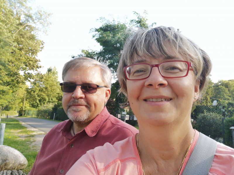
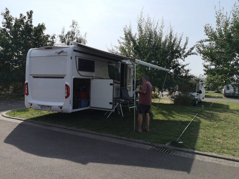
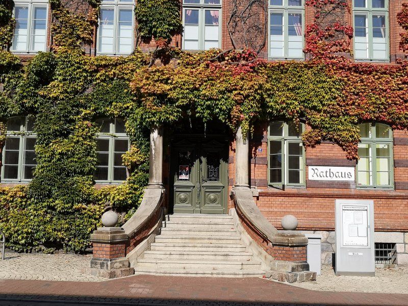
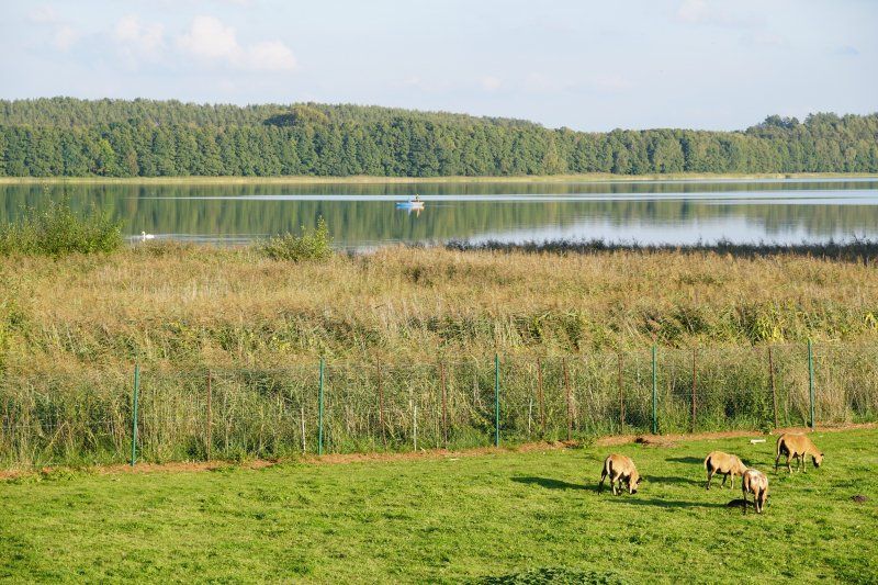
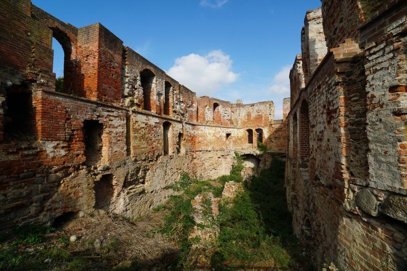
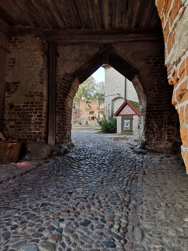
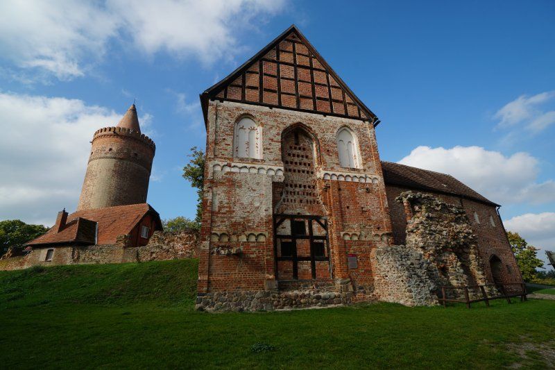
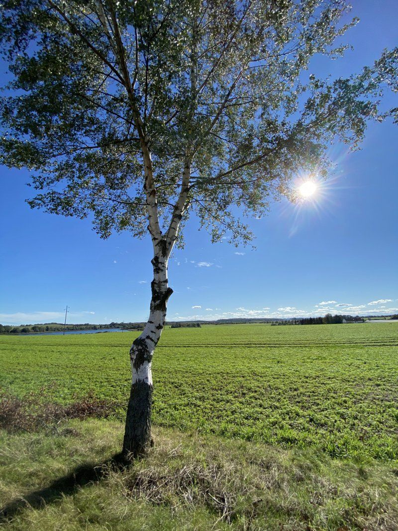
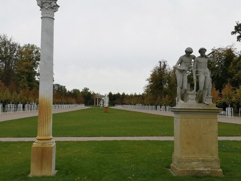
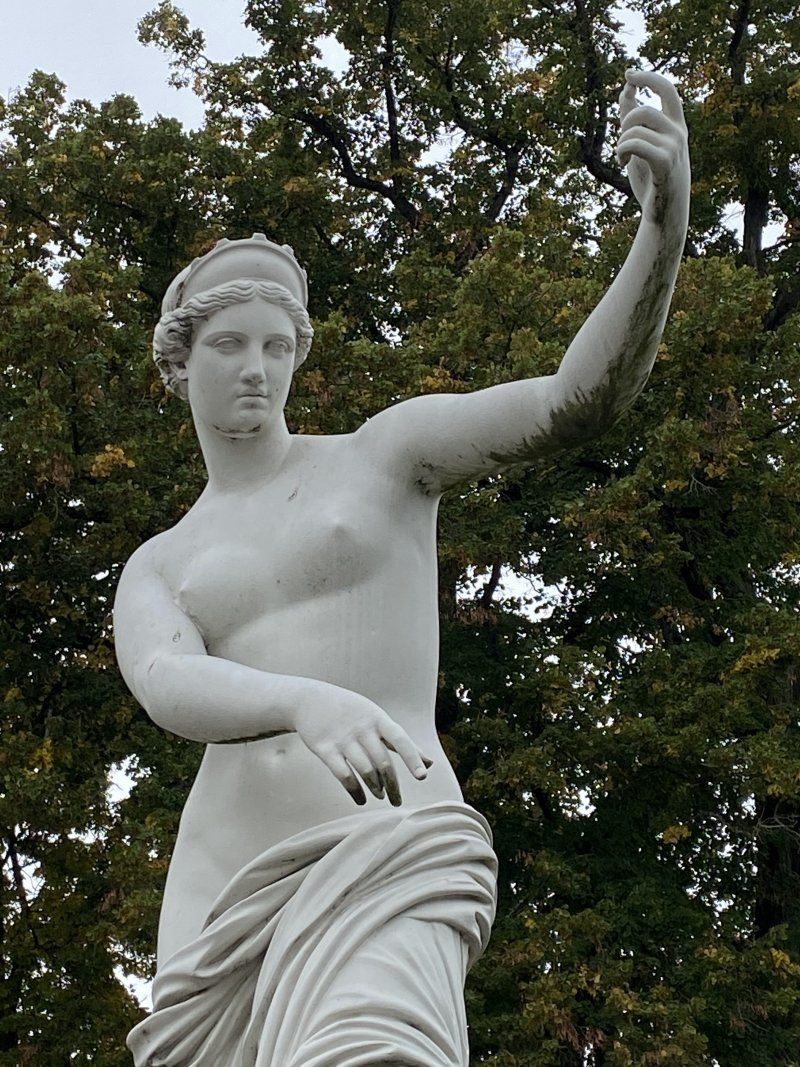
A motorhome tour through the Mecklenburg Lake District, with stops and photos.
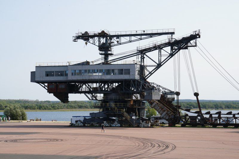
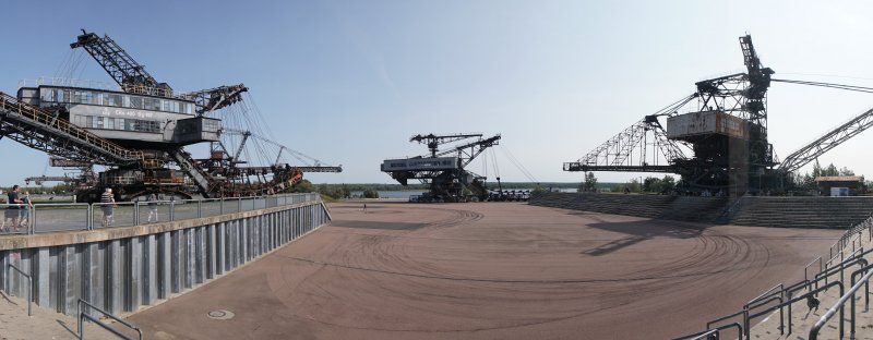
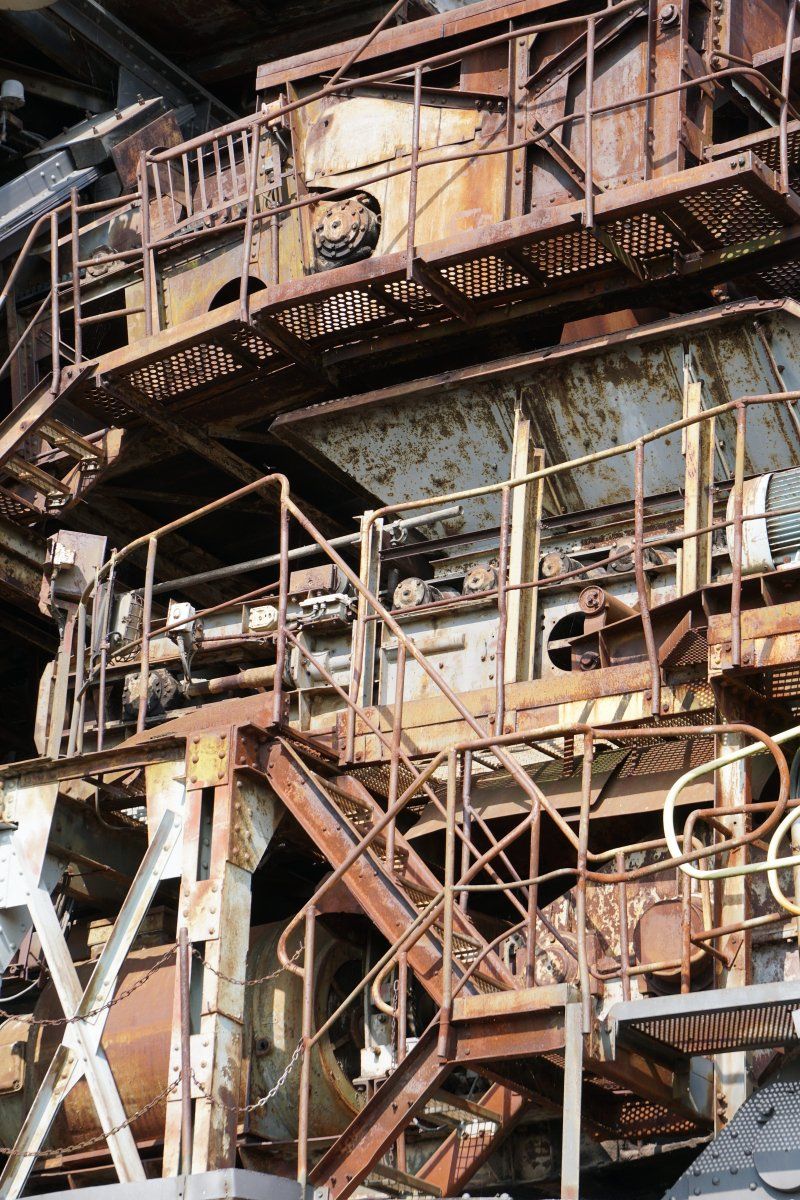
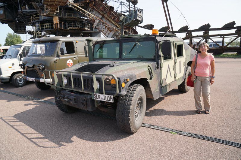
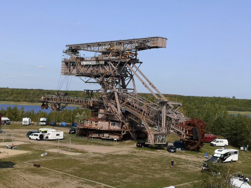
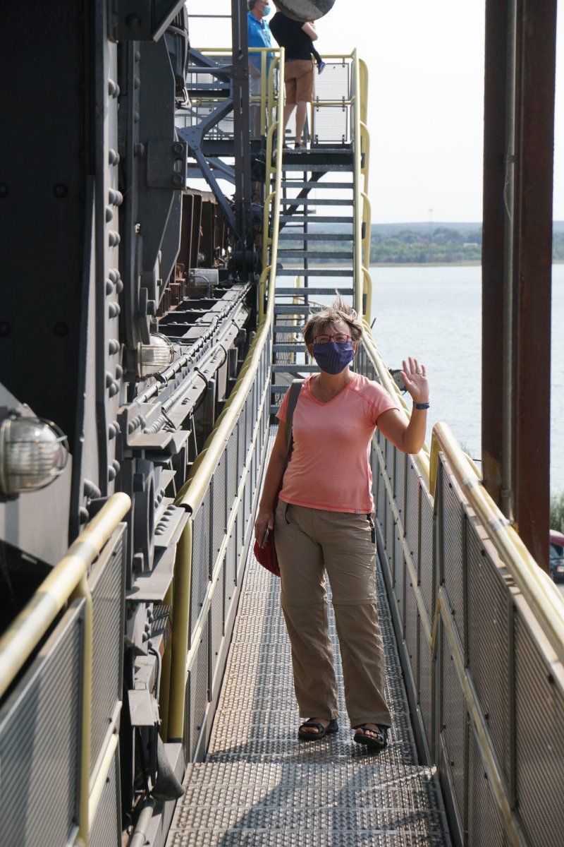
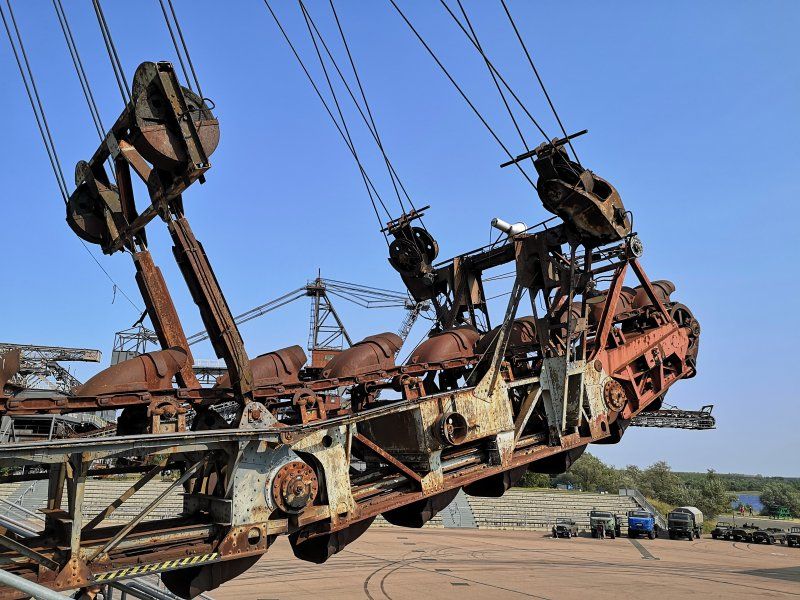
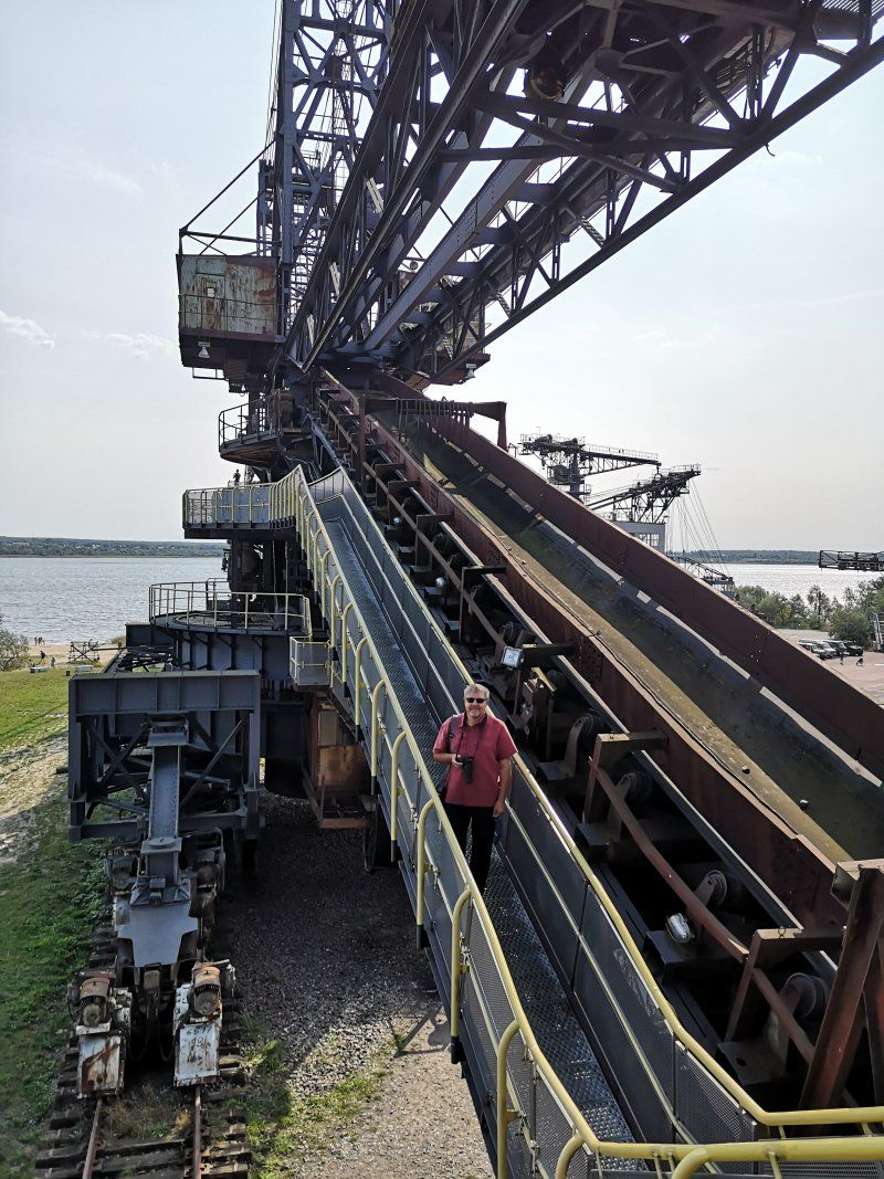
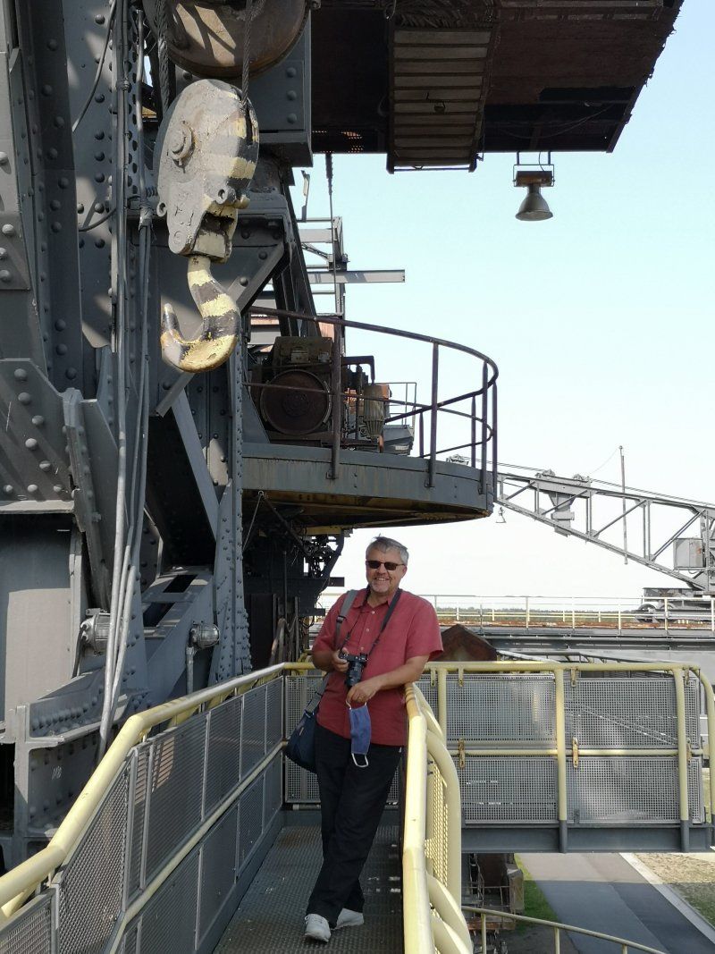
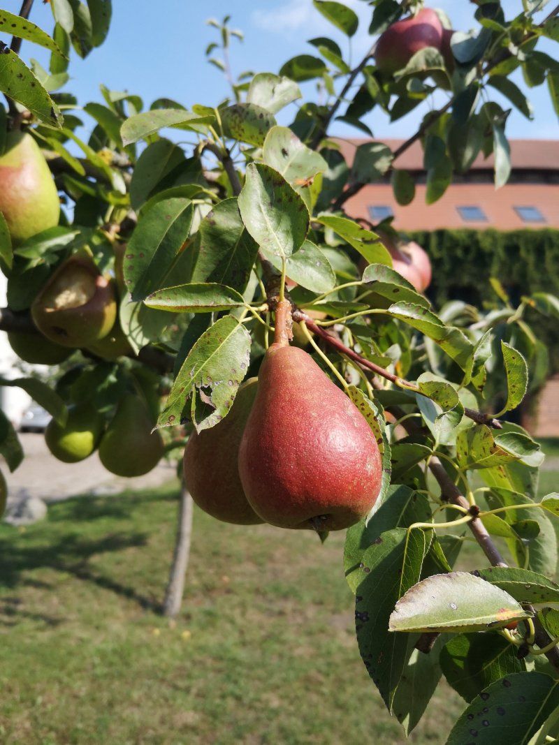
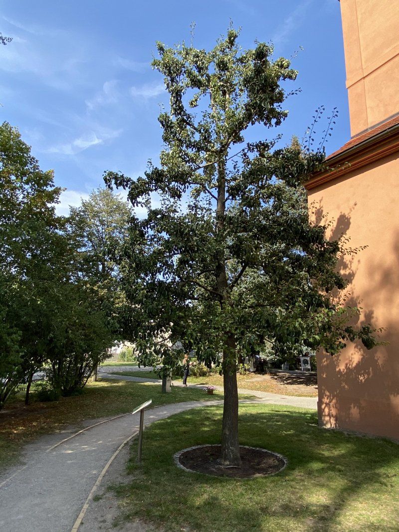
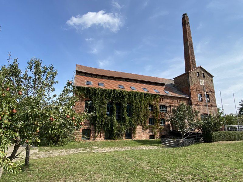
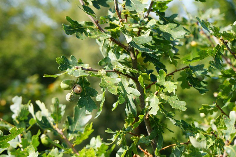
You start at the small lake district and then walk around in a clockwise direction. On the way from the Palatinate to Mecklenburg-Western Pomerania we make a short stop in Gräfenhainichen, where the magnificent large-capacity excavators can be viewed at the Ferropolis (Melt!) festival site and another stop in Havelland, at Mr. Ribbeck von Ribbeck's pears :-)
Day
Deidesheim, Deutschland
67146 Deidesheim, Deutschland
49° 24' 34.5" N 8° 11' 5.1" E
49.4095800 8.1847560
• Head toward Kaisergarten on Bennstraße. Go for 133 m.
• Turn right onto Kaisergarten. Go for 24 m.
• Turn left onto Weinstraße (L516). Go for 620 m.
• Turn right onto L527 toward A45/Speyer/Niederkirchen/Bad Dürkheim. Go for 485 m.
• Take the 3rd exit from roundabout onto B271 toward Neustadt/Weinstr. Go for 4.1 km.
• Take the exit toward Ludwigshafen/Holiday-Park onto A65. Go for 11.8 km.
• Take exit 7 toward Koblenz/Mainz onto A61. Go for 12.4 km.
• Take exit 59 toward Frankfurt a.M./Frankenthal-Nord onto A6. Go for 17.8 km.
• Take the left exit toward Hannover/Frankfurt/Köln/Darmstadt onto A67. Go for 11.7 km.
• Take exit 9 toward Bensheim/Heppenheim/Lorsch onto B47. Go for 4.2 km.
• Turn left and take ramp onto A5 toward Frankfurt/Darmstadt. Go for 22.3 km.
• Take the exit toward Hannover/Kassel/Frankfurt/Darmstadt onto A5. Go for 150 km.
• Continue on A7. Go for 3.7 km.
• Take the exit toward Berlin/Dresden/Erfurt/Bad Hersfeld onto A4. Go for 182 km.
• Take exit 56A toward Berlin/Halle (Saale)/Leipzig onto A9. Go for 12.0 km.
• Take exit 22 toward Eisenberg/Bürgel. Go for 313 m.
• Turn right onto L3007 toward Eisenberg. Go for 1.4 km.
• Pass 2 roundabouts and continue on Rudolf-Breitscheid-Straße (L3007). Go for 1.1 km.
• Take the 3rd exit from Schützenplatz roundabout onto Adolph-Geyer-Straße (L1073) toward Schortental. Go for 741 m.
• Turn right onto Etzdorfer Straße (K129) toward Thiemendorf/Etzdorf. Go for 1.2 km.
• Continue on K129. Go for 2.2 km.
• Turn right toward Hauptstraße. Go for 780 m.
• Continue on Hauptstraße. Go for 246 m.
• Continue on Alte Schmiede. Go for 98 m.
• Turn slightly left onto Hauptstraße. Go for 44 m.
• Turn right onto Hauptstraße. Go for 11 m.
• Turn left onto Hauptstraße. Go for 230 m.
• Continue on Crossener Straße. Go for 180 m.
• Arrive at Crossener Straße. Your destination is on the right.
☍
441,3 km
(4 hrs. 7 min.)
Etzdorf, Crossener Straße 16
Crossener Straße 16
50° 58' 33.8" N 11° 56' 46.4" E
50.9760422 11.9462201
• Head toward Hauptstraße on Crossener Straße. Go for 180 m.
• Continue on Hauptstraße. Go for 230 m.
• Turn right onto Hauptstraße. Go for 11 m.
• Turn left onto Hauptstraße. Go for 44 m.
• Turn slightly right onto Alte Schmiede. Go for 11 m.
• Continue on Alte Schmiede. Go for 87 m.
• Continue on Hauptstraße. Go for 1.0 km.
• Turn right onto K129. Go for 442 m.
• Continue on Timoburgstraße (K129). Go for 925 m.
• Continue on Buchheimer Straße. Go for 1.8 km.
• Turn left onto Ortsstraße (K130). Go for 81 m.
• Continue on K130. Go for 2.7 km.
• Turn right onto L1073. Go for 2.5 km.
• Continue on L198. Go for 2.3 km.
• Turn right and take ramp onto A9 toward Berlin. Go for 165 km.
• Take exit 1 toward Hamburg/Magdeburg/Rostock onto A10 (Berliner Ring). Go for 4.3 km.
• Take exit 20 toward Glindow/Klaistow. Go for 342 m.
• Turn right onto L90 toward Werder/Glindow/Schwielowsee. Go for 3.5 km.
• Pass 2 roundabouts and continue on Klaistower Straße (L90). Go for 2.2 km.
• Take the 1st exit from roundabout onto Alpenstraße. Go for 946 m.
• Arrive at Alpenstraße. Your destination is on the right.
☍
188,6 km
(1 hrs. 47 min.)
2020-09-11, Etzdorf (Thüringen)
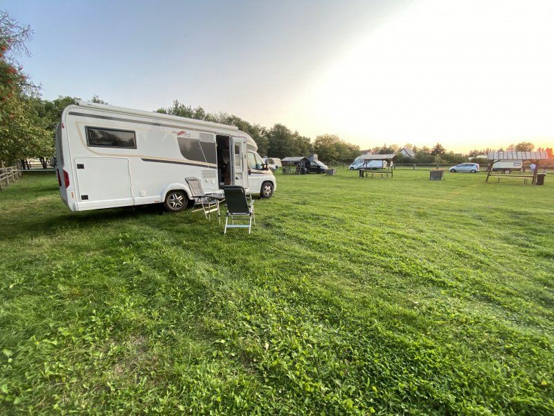
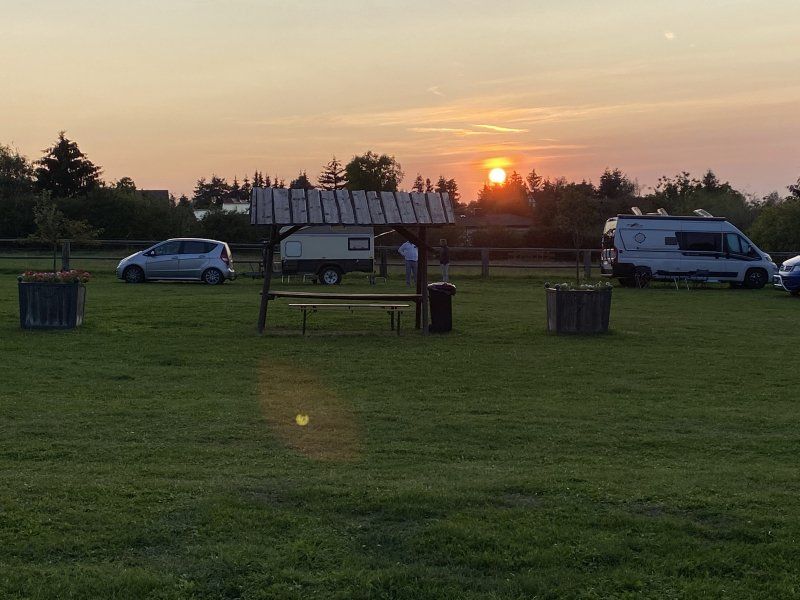
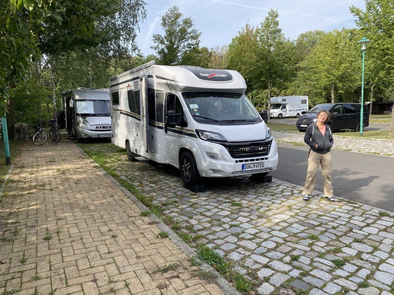
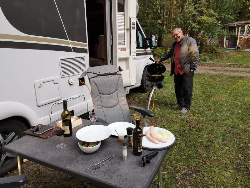
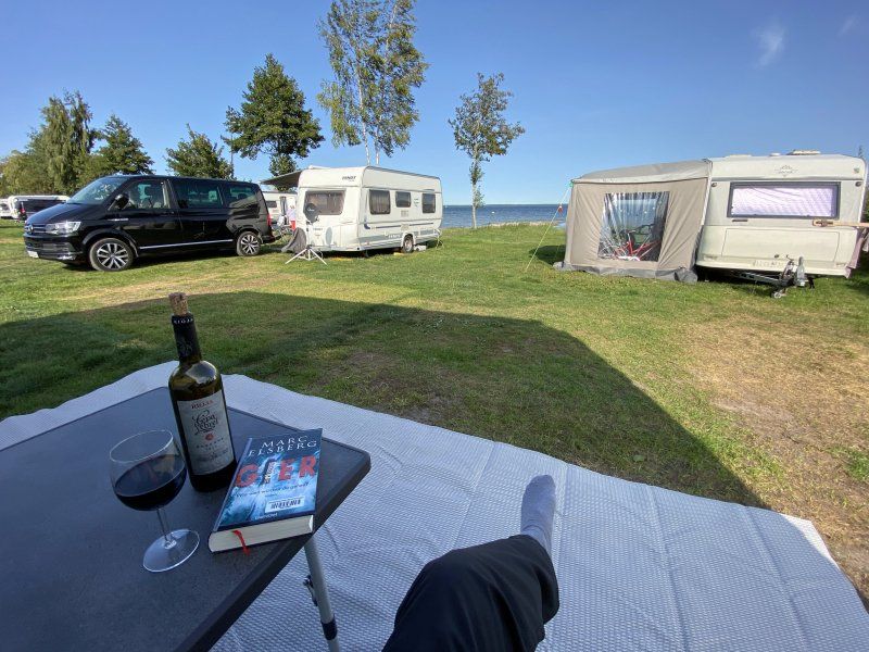
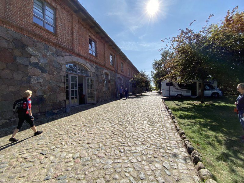
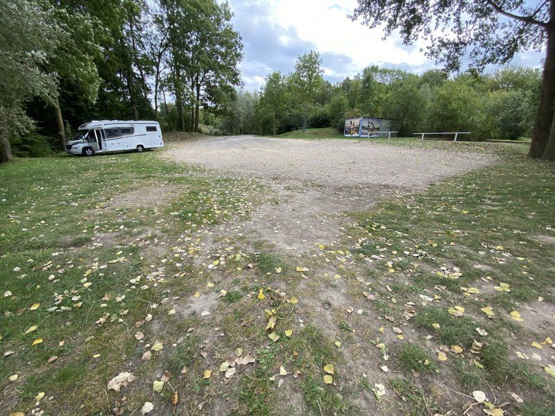
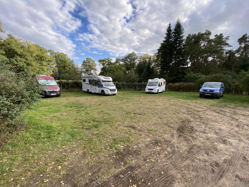
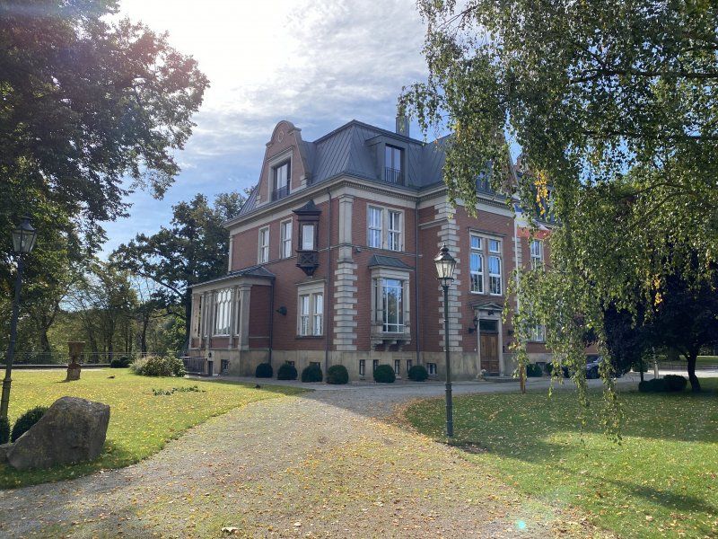
Parking space behind the Etzdorfer Hof via “Landfreuden”, but also available for non-members. I hope that this insider tip remains an insider tip for a long time. A huge meadow, with water and electricity. Toilet van and shower for small change. Only a donation is required. A dream!
Day
Alpenstraße 44, Werder, Deutschland
Alpenstraße 44, 14542 Werder (Havel), Deutschland
52° 21' 18.2" N 12° 55' 16.2" E
52.3550575 12.9211628
• Head toward Jahnufer on Alpenstraße. Go for 926 m.
• Take the 2nd exit from roundabout onto Klaistower Straße (L90). Go for 1.2 km.
• Pass 2 roundabouts and continue on Klaistower Straße (L90). Go for 4.8 km.
• Turn left and take ramp onto A10 (Berliner Ring) toward Frankfurt/München. Go for 3.2 km.
• Take exit 19 toward München/Leipzig onto A9 (Autobahndreieck Potsdam). Go for 70.9 km.
• Take exit 10 toward Dessau-Ost/Oranienbaum. Go for 292 m.
• Turn right onto Oranienbaumer Chaussee (B107/B185) toward Oranienbaum/Gräfenhainichen. Go for 7.4 km.
• Turn right onto Schloßstraße (B107) toward Gräfenhainichen/Judenberg. Go for 8.4 km.
• Turn left onto B100/B107 toward Lutherstadt/Wittenberg/Gräfenhainichen/Bad Düben. Go for 100 m.
• Turn right onto Rathenaustraße. Go for 1.0 km.
• Turn right onto Gartenstraße. Go for 131 m.
• Turn left onto Gartenstraße. Go for 32 m.
• Turn left onto Gartenstraße. Go for 17 m.
• Turn right onto Paul-Gerhardt-Straße. Go for 22 m.
• Turn right. Go for 27 m.
• Arrive at your destination on the left.
☍
98,4 km
(1 hrs. 3 min.)
Gräfenhainichen, Deutschland
51° 43' 44.3" N 12° 27' 12.6" E
51.7289780 12.4535112
• Head toward Gartenstraße. Go for 27 m.
• Turn left onto Paul-Gerhardt-Straße. Go for 22 m.
• Turn right onto Gartenstraße. Go for 103 m.
• Turn right onto Gartenstraße. Go for 38 m.
• Turn left onto Rathenaustraße. Go for 1.0 km.
• Turn left onto B100/B107 toward A9/Bitterfeld/Oranienbaum. Go for 129 m.
• Turn right onto B107. Go for 8.4 km.
• Turn left onto Dessauer Straße (B107) toward A9/Dessau-Roßlau. Go for 7.1 km.
• Turn left and take ramp onto A9 toward Berlin. Go for 70.0 km.
• Take exit 1 toward Hamburg/Magdeburg/Rostock onto A10 (Berliner Ring). Go for 8.5 km.
• Take exit 21 toward Prenzlau/Hamburg/Rostock onto A10 (Autobahndreieck Werder). Go for 47.8 km.
• Take exit 29 toward Hamburg/Rostock onto A24. Go for 32.0 km.
• Take exit 22 toward Neuruppin/Rheinsberg/Kyritz/Neustadt (Dosse). Go for 252 m.
• Turn right onto B167. Go for 3.7 km.
• Take the 3rd exit from roundabout onto Certaldo-Ring toward Löwenberg/Rheinsberg. Go for 1.1 km.
• Take the 2nd exit from roundabout onto Nymburk-Ring toward Löwenberg/Rheinsberg. Go for 991 m.
• Continue on Bad-Kreuznach-Ring toward Löwenberg/Rheinsberg. Go for 1.3 km.
• Take the 3rd exit from roundabout onto Wittstocker Allee (L16) toward Wittstock/Rheinsberg. Go for 23.3 km.
• Turn left onto L15. Go for 3.0 km.
• Turn right onto Rheinsberger Straße (K6814). Go for 319 m.
• Continue on Am Markt (K6814). Go for 66 m.
• Continue on Mirower Straße (K6814). Go for 628 m.
• Continue on Luhmer Straße (K6814). Go for 185 m.
• Continue on K6814. Go for 3.3 km.
• Continue on Grüne Hütte (K6814). Go for 273 m.
• Continue on K6814. Go for 1.5 km.
• Continue on Zechliner Straße (K6814). Go for 351 m.
• Continue on Dorfstraße (K6814). Go for 237 m.
• Turn left onto Diemitzer Weg. Go for 2.1 km.
• Continue on Luhmer Weg. Go for 759 m.
• Turn right toward Dorfstraße/K4. Go for 33 m.
• Turn right onto Dorfstraße (K4). Go for 363 m.
• Continue on K4. Go for 1.0 km.
• Turn right onto Schleuse (K5). Go for 436 m.
• Continue on Diemitz Schleuse (K5). Go for 203 m.
• Arrive at Diemitz Schleuse (K5). Your destination is on the left.
☍
220,6 km
(2 hrs. 23 min.)
2020-09-12, Gräfenhainichen - Werder (Havel)
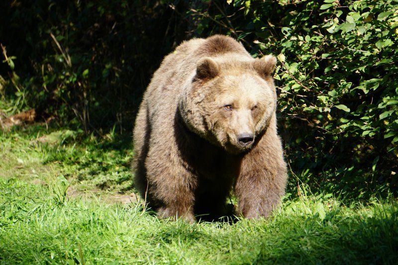
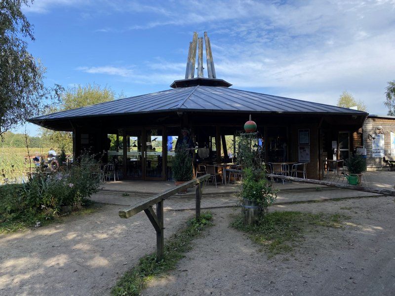
For a fee you can visit some excavators and the museum. Campers can also be parked here, but it is quite expensive.
Day
Diemitzer Schleuse 1, Mirow, Deutschland
Diemitzer Schleuse 1, 17252 Mirow, Deutschland
53° 12' 21" N 12° 51' 53.7" E
53.2058297 12.8649103
• Head northwest on Diemitz Schleuse (K5). Go for 203 m.
• Continue on Schleuse (K5). Go for 436 m.
• Continue on K5. Go for 1.1 km.
• Continue on Fleether Mühle (K5). Go for 289 m.
• Continue on K5. Go for 3.9 km.
• Continue on Peetsch (K5). Go for 711 m.
• Continue on K5. Go for 1.6 km.
• Continue on Peetscher Weg (K5). Go for 680 m.
• Turn right toward Bahnhofstraße. Go for 159 m.
• Turn left onto Bahnhofstraße. Go for 328 m.
• Turn right onto Wesenberger Chaussee (B198). Go for 11.5 km.
• Turn right onto Ahrensberger Weg (K23) toward Ahrensberg. Go for 413 m.
• Arrive at Ahrensberger Weg (K23). Your destination is on the left.
☍
21,4 km
( 20 min.)
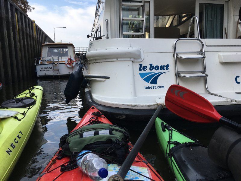
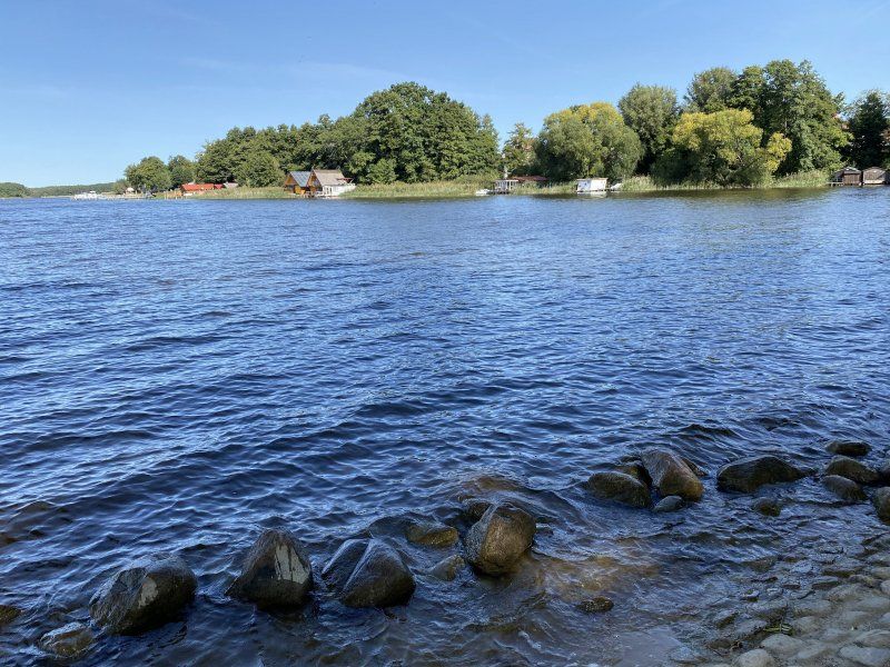
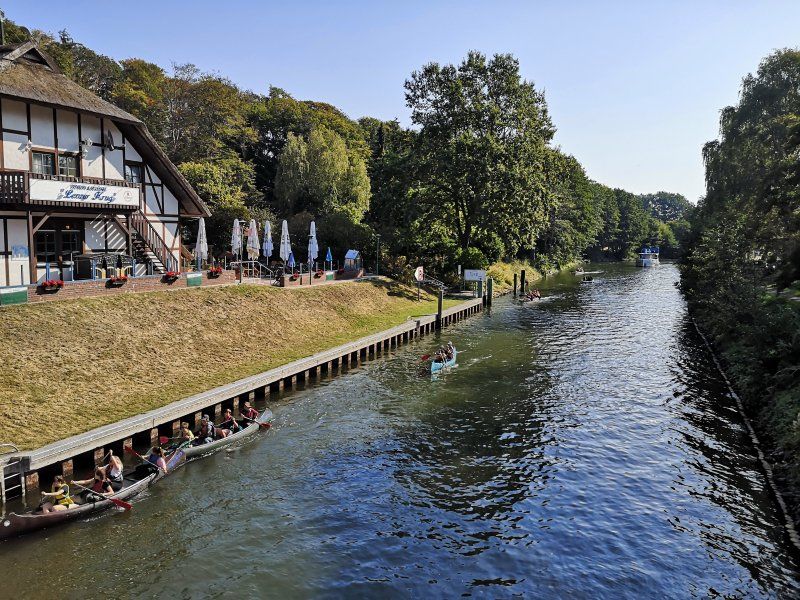
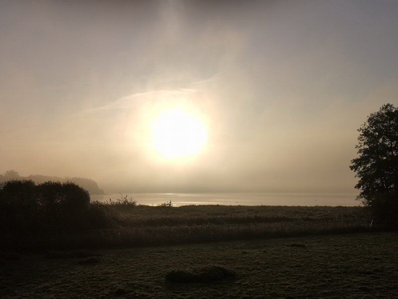
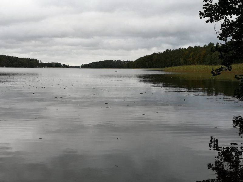
2020-09-13, Havelland - Labussee
Day
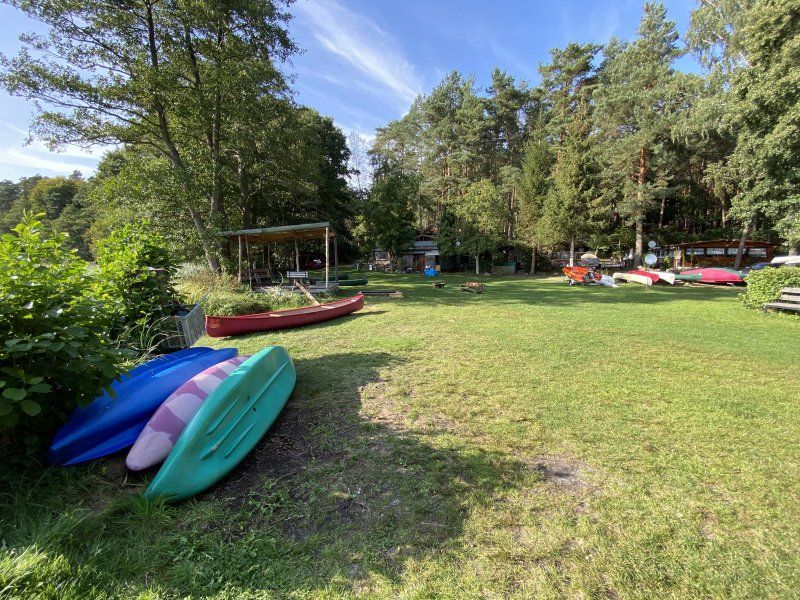
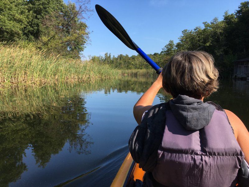
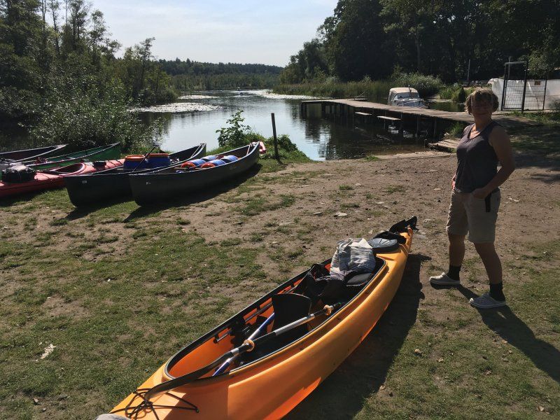
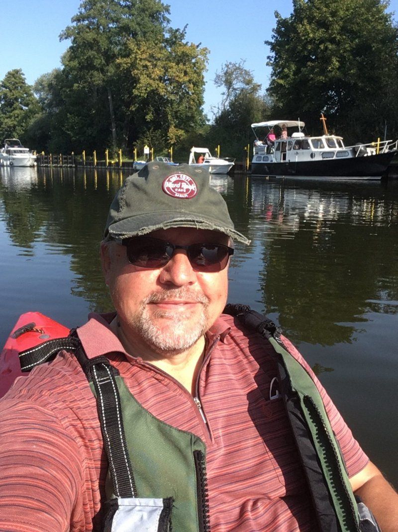
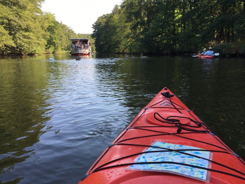
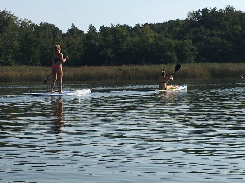
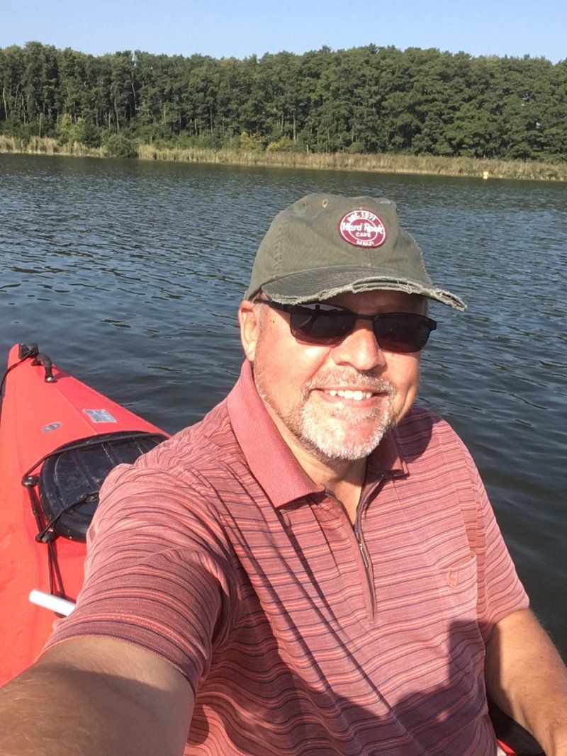
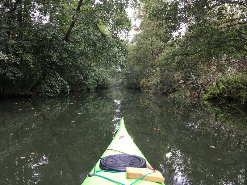
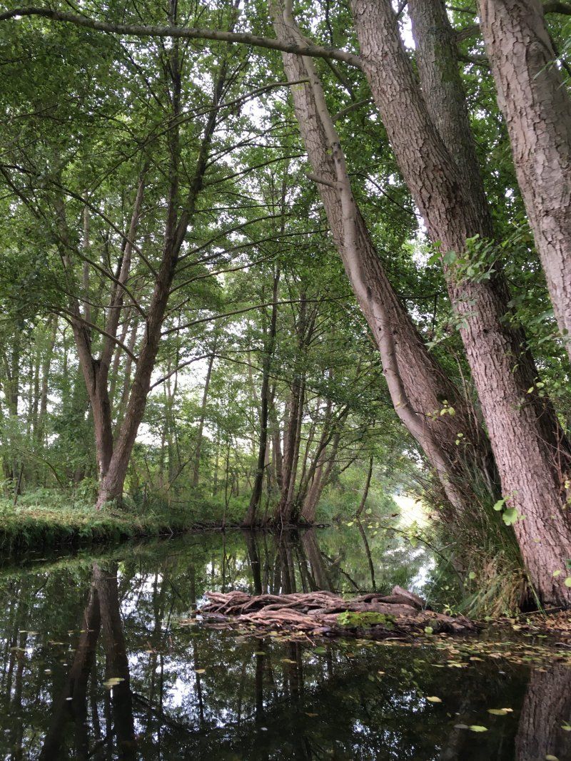
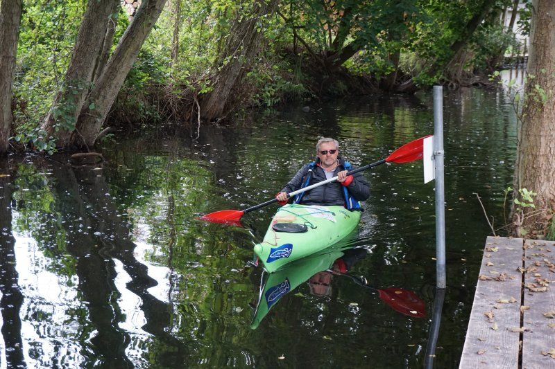
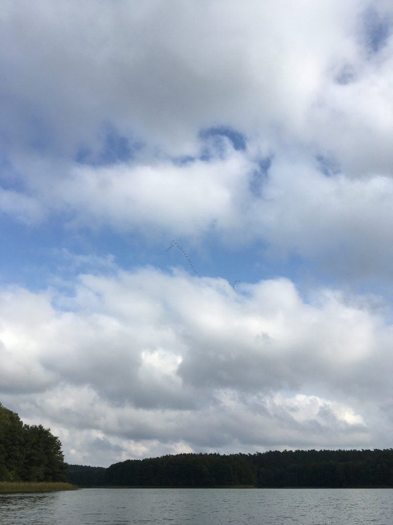
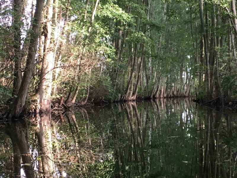
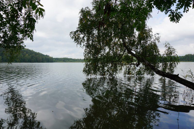
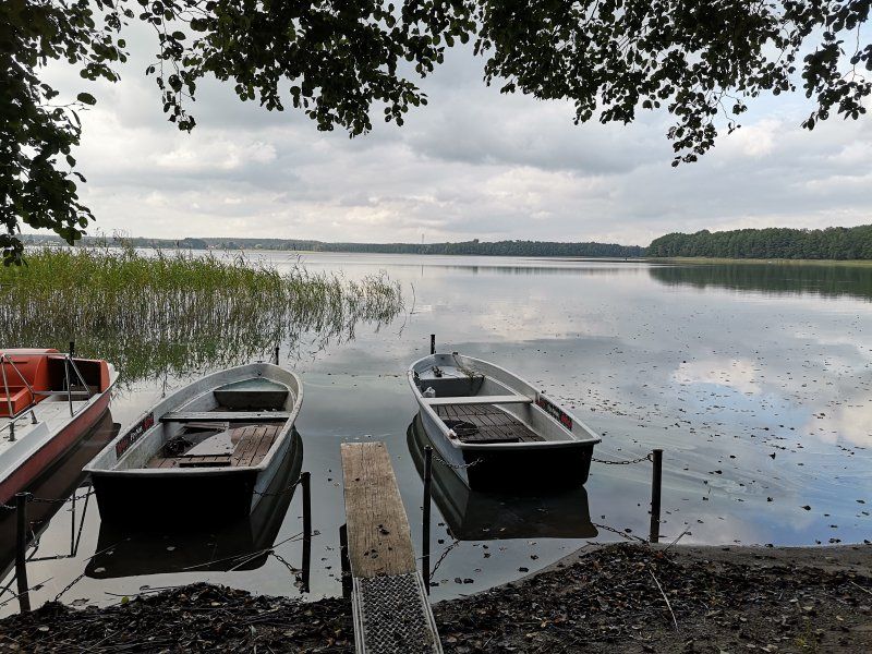
2020-09-14, Labussee, Paddeltour
Day
Camping- und Wohnmobilstellplatz Wesenberg
Ahrensberger Weg 11, 17255, Wesenberg, Germany
53° 16' 36.8" N 12° 59' 16.9" E
53.2768900 12.9880300
• Head toward Havelmühle on Ahrensberger Weg (K23). Go for 413 m.
• Turn left onto Neustrelitzer Chaussee (B198) toward A19/Mirow. Go for 11.9 km.
• Turn right onto Rudolf-Breitscheid-Straße (L25) toward Roggentin/Müritz Nationalpark Eingang Schillersdorf. Go for 210 m.
• Turn right onto Leussower Weg. Go for 80 m.
• Turn right onto Gartenstraße. Go for 107 m.
• Arrive at Gartenstraße. Your destination is on the left.
☍
12,7 km
( 11 min.)
Day
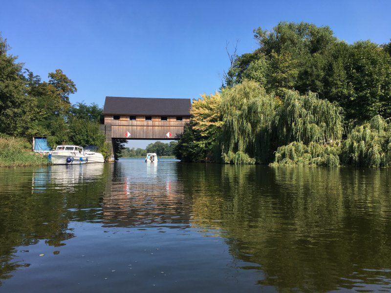
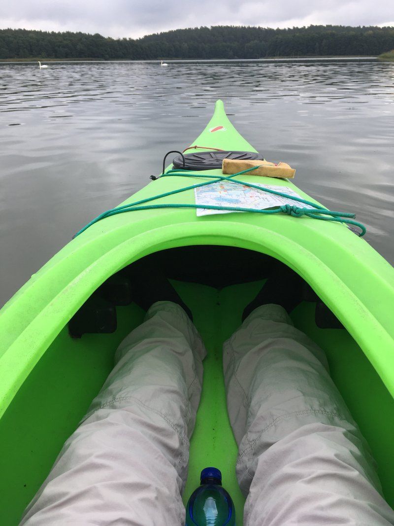
2020-09-16, Wesenberg, Paddeltour
Day
Mirow, Deutschland
53° 16' 31.4" N 12° 49' 3" E
53.2753860 12.8175000
• Head south on Gartenstraße. Go for 189 m.
• Continue on Strelitzer Straße. Go for 49 m.
• Turn right onto Strelitzer Straße (B198). Go for 16.7 km.
• Turn right onto L241 toward Waren (Müritz)/Röbel/Müritz. Go for 5.4 km.
• Take the 2nd exit from roundabout onto Bahnhofstraße (L241). Go for 711 m.
• Turn right onto Am Gildekamp (L24). Go for 1.6 km.
• Turn slightly left onto L24 toward Waren (Müritz)/Sietow. Go for 2.7 km.
• Turn right onto Lindenallee. Go for 1.1 km.
• Continue on Dorfstraße. Go for 391 m.
• Turn left onto Schloßstraße. Go for 82 m.
• Arrive at Schloßstraße. Your destination is on the left.
☍
28,9 km
( 26 min.)
Schloßstraße 4, 17207 Gotthun, Deutschland
53° 25' 5.7" N 12° 35' 20.9" E
53.4182536 12.5891381
• Head toward Reitweg on Schloßstraße. Go for 82 m.
• Turn right onto Dorfstraße. Go for 391 m.
• Continue on Lindenallee. Go for 1.1 km.
• Turn left onto L24. Go for 2.7 km.
• Turn right onto Am Gildekamp (L24) toward A19/Plau am See/Neustrelitz. Go for 1.6 km.
• Turn right onto Bahnhofstraße (L24) toward A19/Plau am See/Wittstock/Bollewick. Go for 576 m.
• Continue on Plauer Straße (L241). Go for 6.5 km.
• Turn right onto B198. Go for 1.9 km.
• Pass 2 roundabouts and continue on Plauer Chaussee (B198). Go for 6.0 km.
• Continue on Plauer Chaussee (B198) toward Pritzwalk/Plau am See. Go for 4.1 km.
• Turn right onto K6 toward Zislow/Suckow. Go for 744 m.
• Turn left onto Am Bärenwald. Go for 37 m.
• Arrive at Am Bärenwald. Your destination is on the right.
☍
25,7 km
( 23 min.)
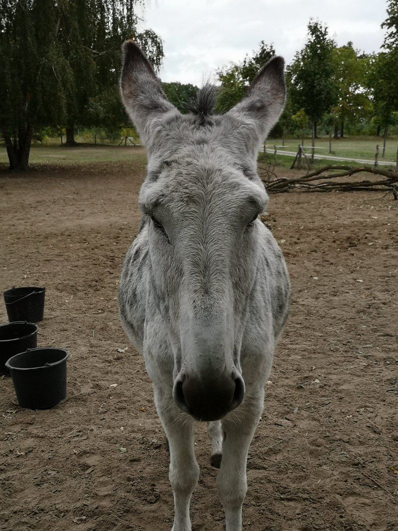
Day
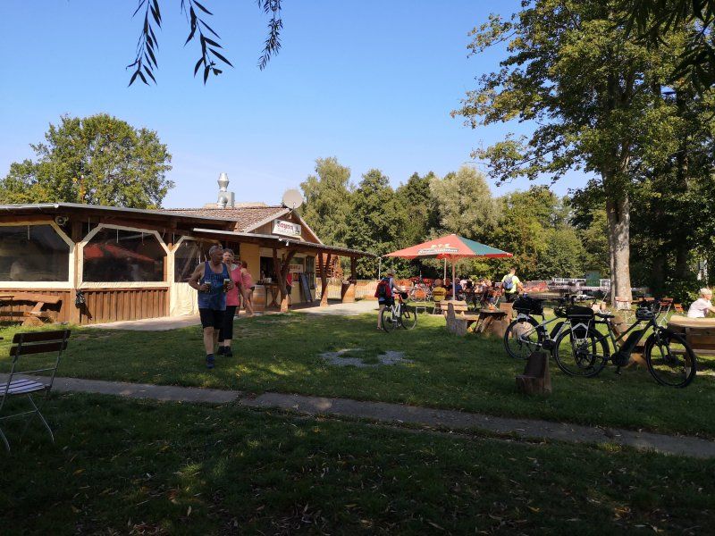
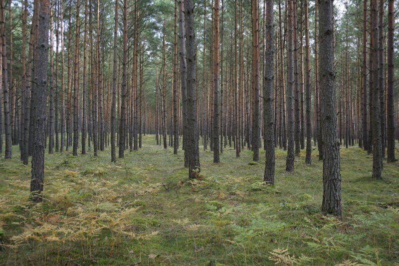
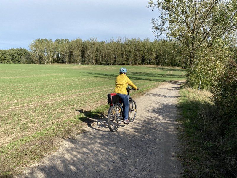
2020-09-18, Röbel, Radtour
Day
Day
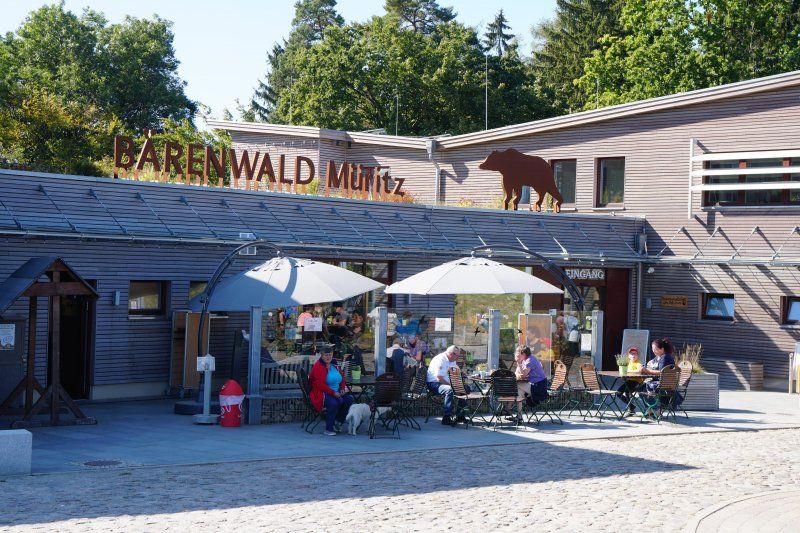
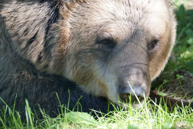
BÄRENWALD Müritz gGmbH, Am Bärenwald, Stuer, Deutschland
Am Bärenwald 1, 17209 Stuer, Deutschland
53° 23' 13.7" N 12° 19' 37.7" E
53.3871431 12.3271279
• Head northeast on Am Bärenwald. Go for 37 m.
• Turn right onto K6. Go for 744 m.
• Turn right onto B198. Go for 6.4 km.
• Turn right onto B103 toward Güstrow/Plau am See. Go for 5.6 km.
• Turn left onto Güstrower Chaussee toward Zentrum. Go for 81 m.
• Continue on Lange Straße. Go for 249 m.
• Continue on Schulstraße. Go for 33 m.
• Turn right onto Plauerhäger Straße. Go for 111 m.
• Arrive at Plauerhäger Straße. Your destination is on the left.
☍
13,2 km
( 11 min.)
2020-09-20, Wesenberg - Bärenwald Müritz - Wangeliner Heide
Day
Plau am See, Deutschland
53° 27' 42.3" N 12° 15' 42.5" E
53.4617551 12.2618193
• Head toward Schulstraße on Plauerhäger Straße. Go for 111 m.
• Turn left onto Schulstraße. Go for 33 m.
• Continue on Lange Straße. Go for 249 m.
• Continue on Güstrower Chaussee. Go for 81 m.
• Turn left onto Güstrower Chaussee (B103) toward A19/Rostock/Güstrow/Karow. Go for 568 m.
• Take the 2nd exit from roundabout onto Güstrower Chaussee (B103) toward Rostock/A19/Güstrow/Karow. Go for 7.0 km.
• Turn right onto B192 toward A19/Waren (Müritz). Go for 8.5 km.
• Continue on Karower Chaussee (L20) toward Malchow. Go for 3.3 km.
• Turn right onto Bahnhofstraße. Go for 825 m.
• Turn left toward Parkstraße. Go for 96 m.
• Continue on Parkstraße. Go for 202 m.
• Turn right onto Buchenwaldweg. Go for 568 m.
• Turn right onto Strandstraße. Go for 93 m.
• Arrive at Strandstraße. Your destination is on the right.
☍
21,6 km
( 21 min.)
Strandstraße 9, Malchow, Deutschland
Strandstraße 9, 17213 Malchow, Deutschland
53° 29' 6.8" N 12° 26' 12.6" E
53.4852249 12.4368211
• Head northwest on Strandstraße. Go for 93 m.
• Turn left onto Buchenwaldweg. Go for 568 m.
• Turn left onto Parkstraße. Go for 298 m.
• Turn right onto Bahnhofstraße. Go for 825 m.
• Turn right onto Teterower Chaussee (L20). Go for 3.4 km.
• Pass 2 roundabouts and continue on L20. Go for 16.6 km.
• Turn left onto Teterower Straße (L20). Go for 3.9 km.
• Turn right onto B108 toward Waren (Müritz)/Malchin. Go for 96 m.
• Turn left onto L20 toward Malchin/Dahmen. Go for 17.9 km.
• Turn left onto Rudolf-Fritz-Straße (L20). Go for 904 m.
• Continue on Poststraße (B104) toward Neubrandenburg/Stavenhagen. Go for 12.2 km.
• Continue on Amtsbrink (B104) toward A20/Neubrandenburg/Altentreptow. Go for 104 m.
• Turn left onto Treptower Straße (L273) toward Altentreptow. Go for 4.1 km.
• Turn left onto Eichenallee. Go for 730 m.
• Turn left onto Eichenallee. Go for 326 m.
• Arrive at Eichenallee. Your destination is on the right.
☍
62,1 km
( 56 min.)
2020-09-21, Plau am See - Malchow
Day
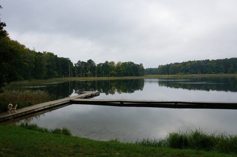
2020-09-22, Malchow, Paddeltour
Day
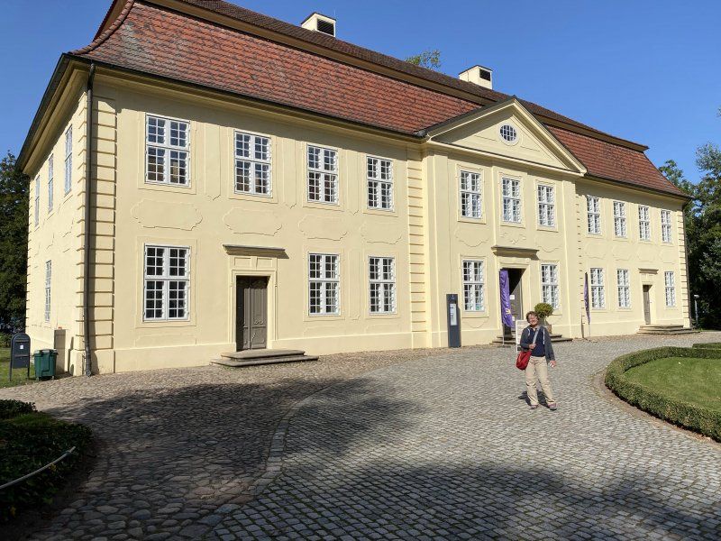
Ivenack, Deutschland
53° 42' 40.1" N 12° 57' 55.4" E
53.7111480 12.9653796
• Head toward Wasserstraße on Eichenallee. Go for 326 m.
• Turn right onto Eichenallee. Go for 730 m.
• Turn right onto L273. Go for 4.1 km.
• Turn right onto Amtsbrink (B104) toward Teterow/Malchin/Waren (Müritz)/B194/Zentrum. Go for 104 m.
• Turn left onto Warener Straße (B194) toward Waren (Müritz). Go for 19.0 km.
• Turn right onto Am Bahnhof (B192) toward A19/Waren (Müritz)/Müritz Nationalpark Eingang Groß Dratow. Go for 7.9 km.
• Continue on Strelitzer Straße (B192). Go for 1.7 km.
• Turn left onto Mecklenburger Straße. Go for 388 m.
• Take the 1st exit from roundabout onto Papenbergstraße. Go for 930 m.
• Continue on Am Seeufer. Go for 472 m.
• Continue on Specker Straße. Go for 115 m.
• Turn right onto Fontanestraße. Go for 1.5 km.
• Turn left onto Fontanestraße. Go for 237 m.
• Turn right onto Fontanestraße. Go for 10 m.
• Arrive at Fontanestraße. Your destination is on the left.
☍
37,6 km
( 38 min.)
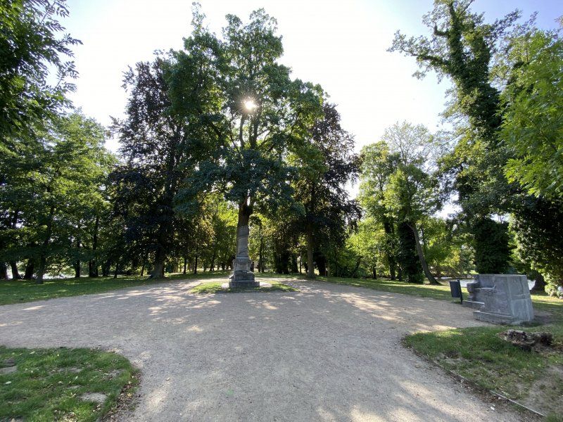
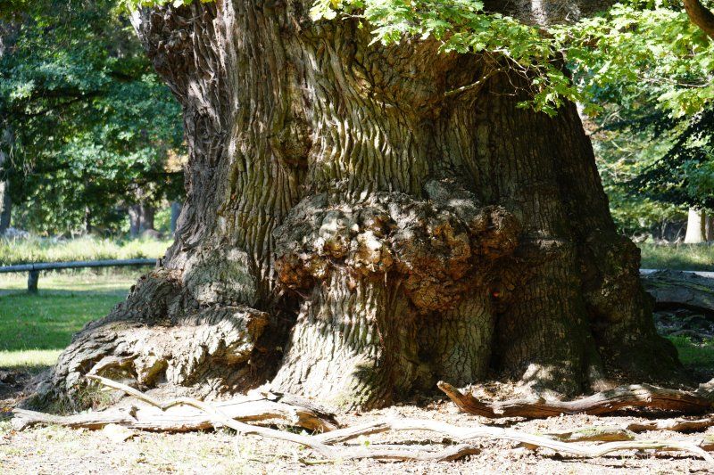
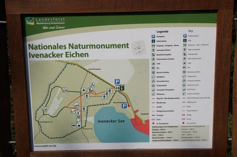
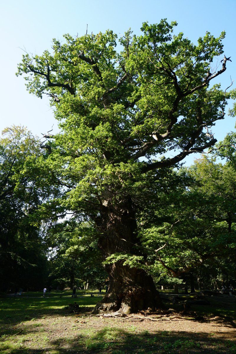
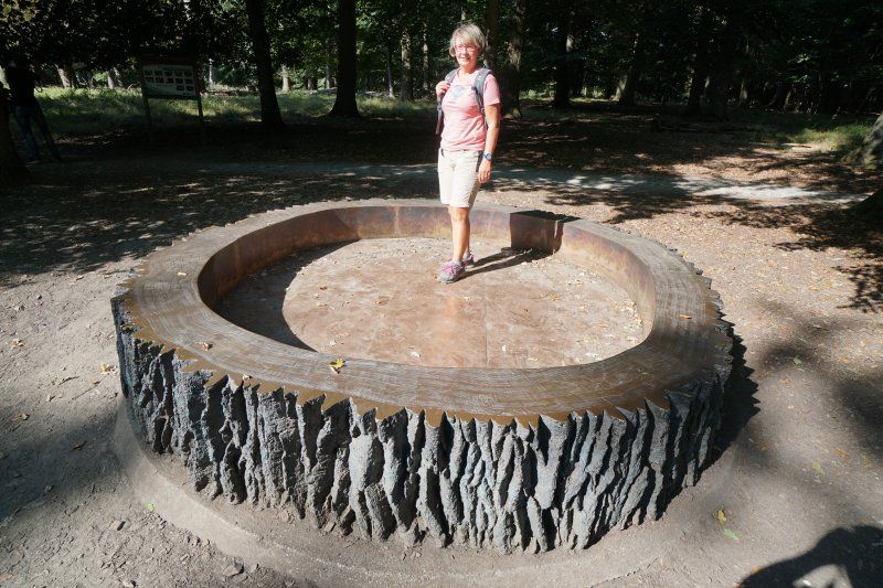
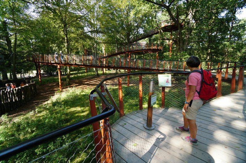
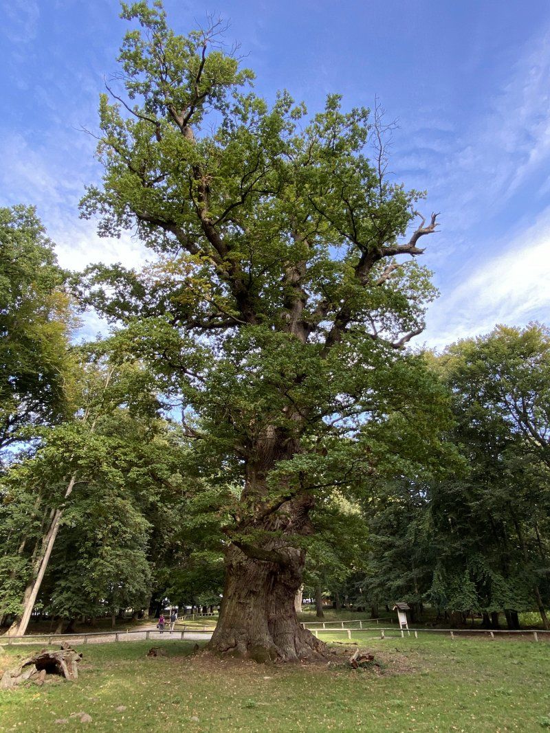
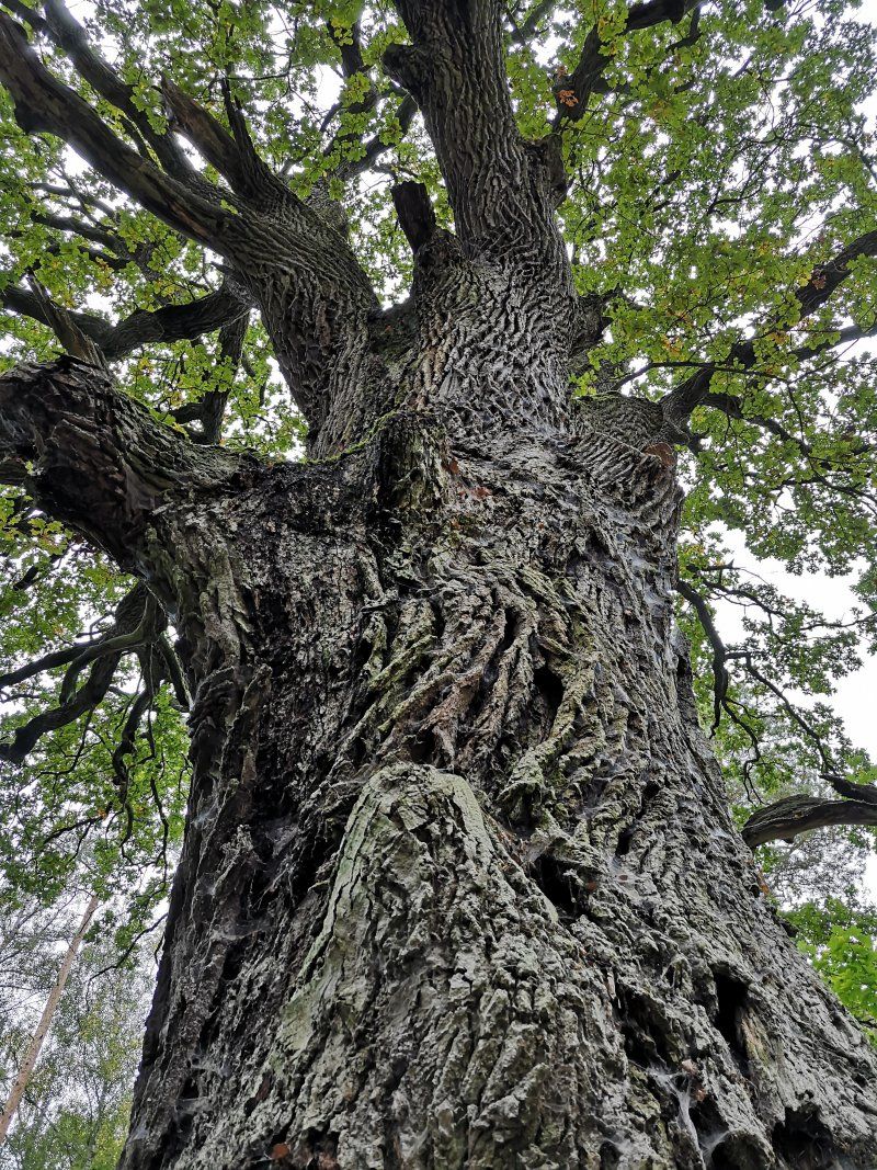
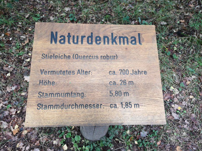
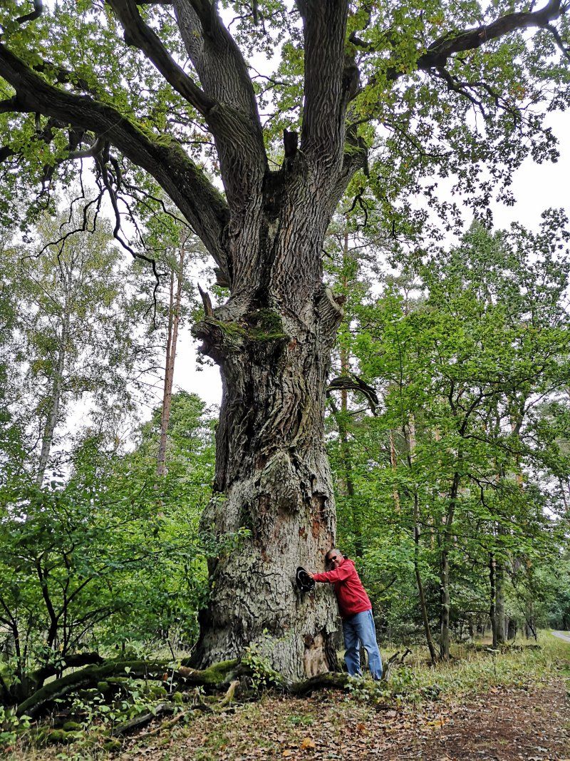
2020-09-23, Ivenack - Ivenacker Eichen
Day
CampingPlatz Ecktannen
Fontanestraße 66, 17192, Heilbad Waren (Müritz), Germany
53° 29' 57.9" N 12° 39' 48.3" E
53.4994200 12.6634200
• Head north on Fontanestraße. Go for 20 m.
• Turn right onto Fontanestraße. Go for 9 m.
• Turn left onto Fontanestraße. Go for 1.7 km.
• Turn left onto Specker Straße. Go for 115 m.
• Continue on Am Seeufer. Go for 472 m.
• Continue on Papenbergstraße. Go for 392 m.
• Turn right onto Rosa-Luxemburg-Straße. Go for 547 m.
• Take the 1st exit from roundabout onto Karl-Bartels-Straße. Go for 156 m.
• Continue on Federower Weg. Go for 280 m.
• Take the 2nd exit from roundabout onto Federower Weg. Go for 3.1 km.
• Continue on Damerower Straße. Go for 1.8 km.
• Turn right onto Schwarzenhofer Straße (K28). Go for 838 m.
• Continue on K28. Go for 2.6 km.
• Turn left toward Schwarzenhof. Go for 106 m.
• Turn right onto Schwarzenhof. Go for 45 m.
• Arrive at Schwarzenhof. Your destination is on the left.
☍
12,2 km
( 25 min.)
2020-09-24, Ivenack, Waren (Müritz)
Day
Day
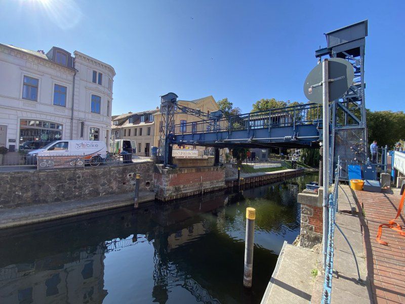
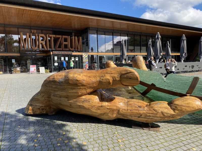
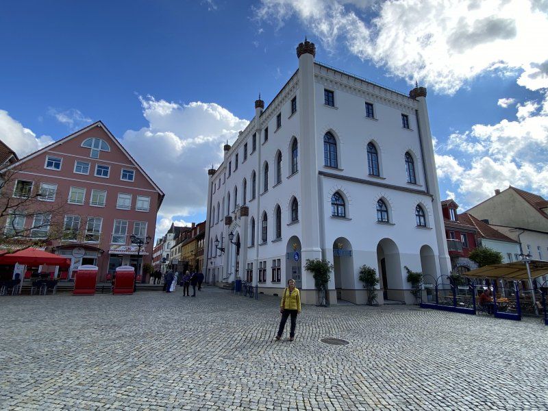
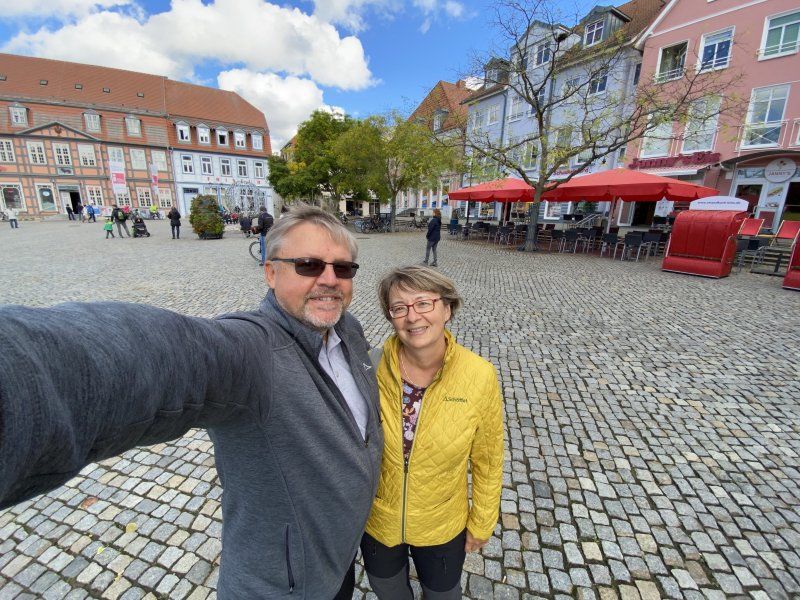
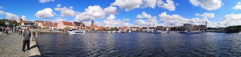
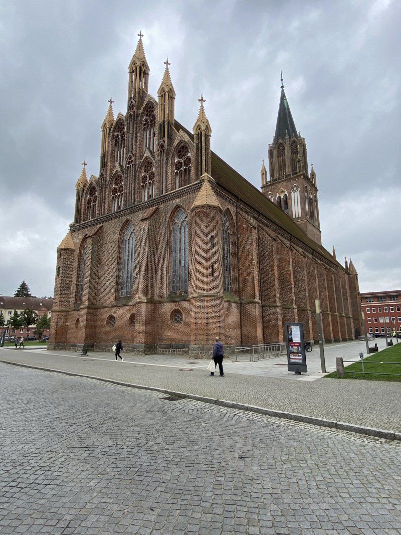
2020-09-26, Waren (Müritz)
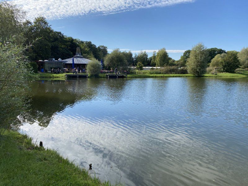
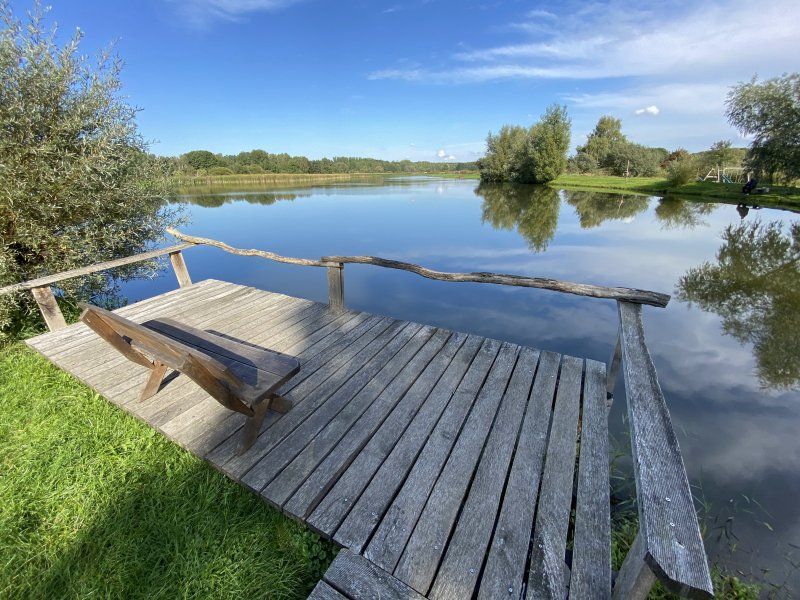
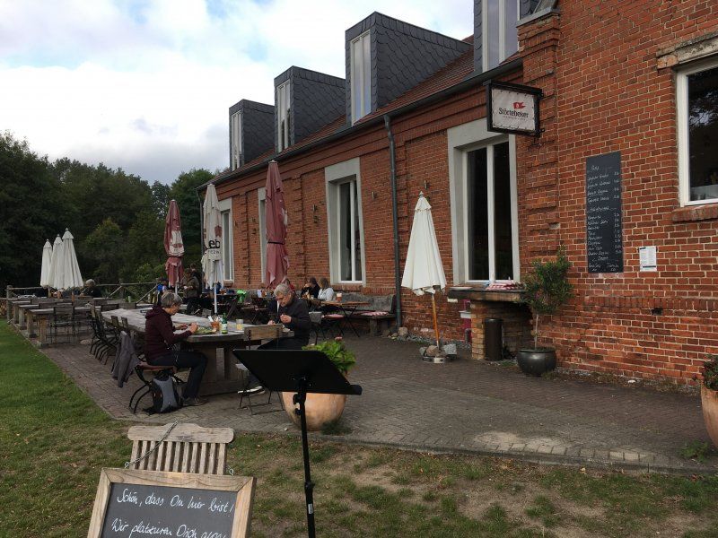
In Waren you can certainly experience more than during our visit. But unfortunately we had 3 heavy rainy days, which we passed by reading and gaming.
Day
Day
2020-09-28, Waren (Müritz), Nationalpark Müritz, Radtour
Stellplatz Ziegenwiese
Schwarzenhof 7, 17192, Kargow, Deutschland
53° 27' 52" N 12° 47' 58" E
53.4644444 12.7994444
• Head southeast on Schwarzenhof. Go for 242 m.
• Turn right onto Schwarzenhof (K28). Go for 160 m.
• Continue on K28. Go for 2.6 km.
• Continue on Schwarzenhofer Straße (K28). Go for 838 m.
• Continue on Kargower Straße (K28). Go for 197 m.
• Continue on K28. Go for 1.8 km.
• Continue on Unterdorf (K28). Go for 337 m.
• Turn slightly right onto Dorfstraße (K28). Go for 722 m.
• Continue on Federower Straße (K28). Go for 789 m.
• Continue on Schwastorfer Weg. Go for 1.9 km.
• Continue on Kargower Weg. Go for 524 m.
• Turn right onto Dorfstraße (K29). Go for 306 m.
• Continue on K29. Go for 1.2 km.
• Turn right onto Dorfstraße (K29). Go for 757 m.
• Continue on K29. Go for 1.3 km.
• Continue on Klein Dratow (K29). Go for 1.9 km.
• Continue on K29. Go for 1.7 km.
• Turn sharp right. Go for 3.0 km.
• Turn left. Go for 6.5 km.
• Turn slightly right toward K26. Go for 9 m.
• Turn right onto K26. Go for 633 m.
• Continue on Dalmsdorf (K26). Go for 300 m.
• Arrive at Dalmsdorf (K26). Your destination is on the right.
☍
27,7 km
( 50 min.)
Day
2020-09-29, Nationalpark Müritz, Radtour
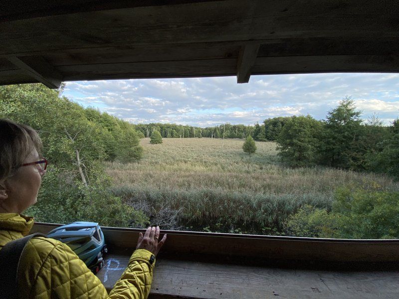
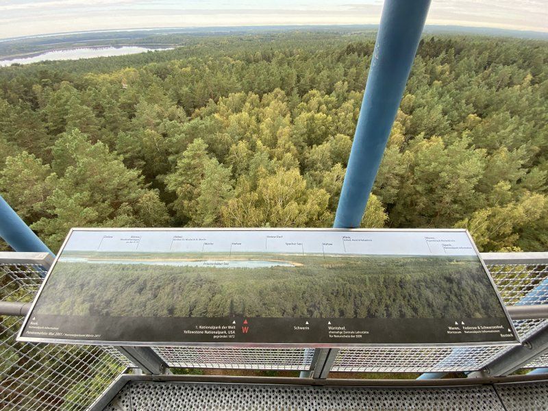
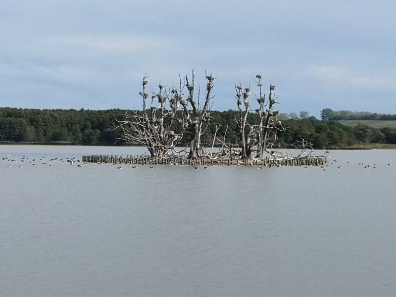
Don't forget your binoculars when you go on a trip to the national park. At dusk you can see deer, red deer and stags.
Day
Dalmsdorf, Kratzeburg, Deutschland
Dalmsdorf, 17237 Kratzeburg, Deutschland
53° 25' 22.6" N 12° 55' 50.5" E
53.4229477 12.9306932
• Head north on Dalmsdorf (K26). Go for 300 m.
• Continue on K26. Go for 678 m.
• Continue on Dorfstraße (K26). Go for 766 m.
• Continue toward K26. Go for 27 m.
• Continue on Dorfstraße (K26). Go for 26 m.
• Continue on K26. Go for 4.3 km.
• Continue on Adamsdorf (K26). Go for 774 m.
• Continue on K26. Go for 1.7 km.
• Turn left onto B193. Go for 2.6 km.
• Turn right onto Peckatel (L34) toward B96/Blumenholz/Hohenzieritz. Go for 7.1 km.
• Turn left onto B96. Go for 16.8 km.
• Turn left onto Neustrelitzer Straße toward Zentrum. Go for 472 m.
• Turn left onto Lindenstraße toward Tollensesee/Gewerbegebiet Am Stargarder Bruch. Go for 116 m.
• Turn right onto Bornmühlenstraße. Go for 211 m.
• Turn right onto Nonnenhofer Straße. Go for 11 m.
• Turn left onto Nonnenhofer Straße. Go for 224 m.
• Turn right onto Augustastraße. Go for 18 m.
• Turn left onto Augustastraße. Go for 150 m.
• Arrive at Augustastraße. Your destination is on the left.
☍
36,2 km
( 45 min.)
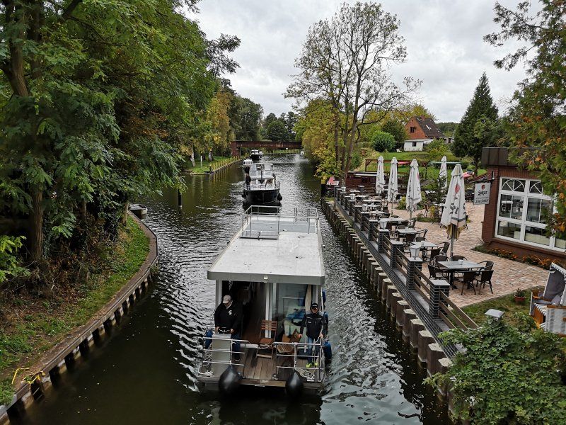
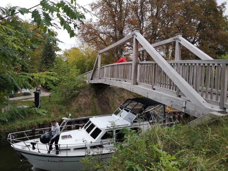
2020-09-30, Kratzeburg, Käbelitzsee
Day
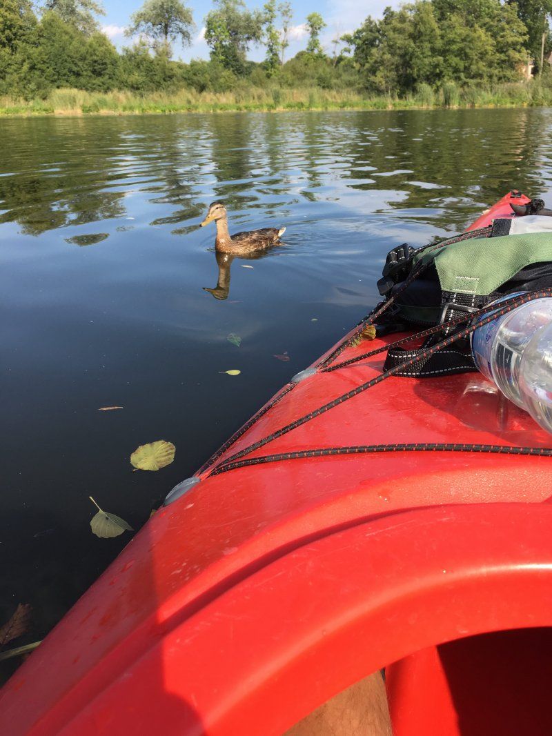
2020-10-01, Kratzeburg, Käbelitzsee Paddeltour
Neubrandenburg, Stellplatz am Wassersportzentrum
Augustastraße 7, 17033, Neubrandenburg, Deutschland
53° 32' 20" N 13° 15' 22" E
53.5388889 13.2561111
• Head north on Augustastraße. Go for 150 m.
• Turn right onto Augustastraße. Go for 18 m.
• Turn left onto Nonnenhofer Straße. Go for 224 m.
• Turn right onto Nonnenhofer Straße. Go for 11 m.
• Turn left onto Bornmühlenstraße. Go for 211 m.
• Turn left onto Lindenstraße. Go for 105 m.
• Turn left onto Neustrelitzer Straße. Go for 1.8 km.
• Continue on Friedrich-Engels-Ring (B104) toward Teterow/Waren (Müritz)/Zentrum/A20/Lübeck/Stralsund/Flughafen/Stettin/Prenzlau/Anklam/Klinikum. Go for 741 m.
• Keep middle onto Demminer Straße (L35). Go for 728 m.
• Turn right onto Torgelower Straße. Go for 139 m.
• Take the 2nd exit from Torgelower Straße roundabout onto Ihlenfelder Straße. Go for 354 m.
• Turn right onto Prenzlauer Straße. Go for 133 m.
• Turn left onto Prenzlauer Straße. Go for 36 m.
• Turn left onto Prenzlauer Straße. Go for 41 m.
• Continue on Küssower Straße. Go for 174 m.
• Turn right onto Brunner Straße. Go for 22 m.
• Arrive at Brunner Straße. Your destination is on the right.
☍
4,9 km
( 10 min.)
Day
Neubrandenburg, Deutschland
53° 34' 4.2" N 13° 16' 40.5" E
53.5678292 13.2779269
• Head toward Stavener Straße on Brunner Straße. Go for 175 m.
• Turn right onto Stavener Straße. Go for 797 m.
• Turn left onto Johannesstraße. Go for 695 m.
• Continue on B96. Go for 5.6 km.
• Turn left onto L33 toward Burg Stargard. Go for 4.0 km.
• Turn right onto Weinbergsweg (K82). Go for 398 m.
• Turn left onto Weinbergsweg. Go for 24 m.
• Turn slightly right onto Weinbergsweg. Go for 103 m.
• Continue on Messweg. Go for 424 m.
• Turn slightly right onto Burg. Go for 226 m.
• Turn left. Go for 22 m.
• Turn right toward Burg. Go for 193 m.
• Continue on Burg. Go for 82 m.
• Turn slightly left onto Messweg. Go for 61 m.
• Turn left onto Burg. Go for 84 m.
• Turn left. Go for 90 m.
• Arrive at your destination on the left.
☍
13,0 km
( 23 min.)
Burg 4, Burg Stargard, Deutschland
Burg 4, 17094 Burg Stargard, Deutschland
53° 29' 26.8" N 13° 18' 21.6" E
53.4907700 13.3060000
• Head toward Burg. Go for 90 m.
• Turn right onto Burg. Go for 84 m.
• Turn left onto Messweg. Go for 363 m.
• Continue on Weinbergsweg. Go for 127 m.
• Turn right onto Weinbergsweg (K82). Go for 398 m.
• Turn left onto Strelitzer Straße (L33). Go for 4.0 km.
• Turn left onto B96 toward Berlin/Neustrelitz. Go for 14.3 km.
• Turn right onto L34 toward Hohenzieritz/Blumenholz/B193. Go for 825 m.
• Turn right onto K79. Go for 1.1 km.
• Continue on Wendfeld (K79). Go for 273 m.
• Arrive at Wendfeld (K79). Your destination is on the left.
☍
21,5 km
( 23 min.)
2020-10-02, Neu Brandenburg - Burg Stargard
Day
2020-10-03, Burg Stargard - Tollensesee
Wendfeld, Blumenholz, Deutschland
Wendfeld, 17237 Blumenholz, Deutschland
53° 25' 46.2" N 13° 7' 36.4" E
53.4295114 13.1267639
• Head south on Wendfeld (K79). Go for 273 m.
• Continue on K79. Go for 1.1 km.
• Turn left onto L34. Go for 812 m.
• Turn right onto B96. Go for 5.1 km.
• Take ramp toward Waren (Müritz)/Penzlin/Neustrelitz. Go for 524 m.
• Continue on Hohenzieritzer Straße toward Zentrum/Neustrelitz. Go for 1.0 km.
• Continue on Glambecker Straße. Go for 437 m.
• Take the 2nd exit from Markt roundabout onto Zierker Straße. Go for 390 m.
• Take the 2nd exit from Zierker Straße roundabout onto Semmelweisstraße (L25). Go for 126 m.
• Turn right onto Am Stadthafen. Go for 141 m.
• Turn right onto Zierker Nebenstraße. Go for 11 m.
• Arrive at Zierker Nebenstraße. Your destination is on the right.
☍
9,9 km
( 13 min.)
Day
2020-10-04, Tollensesee Radtour
Day
Stellplatz am Stadthafen
Am Stadthafen 4, 17235, Neustrelitz, Deutschland
53° 21' 54" N 13° 3' 19" E
53.3650000 13.0552778
• Head north on Zierker Nebenstraße. Go for 52 m.
• Turn right. Go for 27 m.
• Turn right. Go for 53 m.
• Turn right toward Am Stadthafen. Go for 21 m.
• Turn left onto Am Stadthafen. Go for 101 m.
• Turn right onto Semmelweisstraße (L25). Go for 224 m.
• Take the 1st exit from roundabout onto Useriner Straße (L25). Go for 1.6 km.
• Turn left onto Bürgerseeweg. Go for 2.4 km.
• Turn right onto Wesenberger Chaussee. Go for 988 m.
• Continue on Chausseestraße. Go for 1.8 km.
• Continue on Groß Trebbow. Go for 1.2 km.
• Turn right onto B198 toward A19/Röbel/Müritz/Wesenberg. Go for 6.7 km.
• Turn left onto Wustrower Chaussee (B122) toward Neuruppin/Rheinsberg/Wustrow. Go for 14.0 km.
• Turn left toward Canower Straße. Go for 1.1 km.
• Continue on Canower Straße. Go for 367 m.
• Continue on Dorfstraße. Go for 543 m.
• Turn left onto Winkel. Go for 176 m.
• Arrive at Winkel. Your destination is on the right.
☍
31,5 km
( 35 min.)
Day
Winkel 3a, Kleinzerlang Rheinsberg, Deutschland
Winkel 3a, 16831 Rheinsberg, Deutschland
53° 11' 19.5" N 12° 55' 10.4" E
53.1887498 12.9195620
• Head toward Heideweg on Winkel. Go for 176 m.
• Turn right onto Dorfstraße. Go for 543 m.
• Continue on Canower Straße. Go for 1.5 km.
• Turn left onto B122. Go for 10.9 km.
• Continue on Mühlenstraße (L15). Go for 1.9 km.
• Take the 2nd exit from roundabout onto K6812. Go for 3.7 km.
• Continue on Zühlener Dorfstraße (K6812). Go for 736 m.
• Continue on K6812. Go for 2.2 km.
• Continue on Dorfstraße (K6812). Go for 1.9 km.
• Turn left onto L16. Go for 14.9 km.
• Take the 1st exit from roundabout onto Bad-Kreuznach-Ring toward A24/Kyritz. Go for 1.3 km.
• Continue on Nymburk-Ring toward A24/Kyritz. Go for 959 m.
• Take the 2nd exit from roundabout onto Certaldo-Ring toward A24/Kyritz. Go for 1.0 km.
• Take the 1st exit from roundabout onto Neustädter Straße (B167) toward A24/Kyritz. Go for 4.1 km.
• Turn right and take ramp onto A24 toward Berlin. Go for 31.1 km.
• Take exit 26 toward Leipzig/Magdeburg/Potsdam onto A10 (Autobahndreieck Havelland). Go for 47.1 km.
• Take exit 21 toward Hannover/Magdeburg onto A2 (Autobahndreieck Werder). Go for 154 km.
• Take exit 58 toward Kassel/Salzgitter/Braunschweig-Süd onto A39. Go for 50.9 km.
• Take the left exit toward Kassel onto A7. Go for 176 km.
• Keep left onto A5/A7 toward Basel/Frankfurt/Wiesbaden/Gießen. Go for 214 m.
• Continue on A5. Go for 149 km.
• Continue on A67 (Darmstädter Kreuz) toward Stuttgart/Mannheim. Go for 34.2 km.
• Take exit 10 toward Saarbrücken/Kaiserslautern/Ludwigshafen/MA-Sandhofen onto A6. Go for 18.2 km.
• Take exit 21 toward Speyer/Neustadt/Weinstr. onto A61. Go for 9.1 km.
• Take exit 60 toward Bad Dürkheim onto A650. Go for 6.0 km.
• Take exit 3 toward Friedelsheim/Gönnheim/Erpolzheim/Ellerstadt. Go for 97 m.
• Take the 2nd exit from roundabout onto L527. Go for 1.2 km.
• Take the 1st exit from roundabout onto L527. Go for 6.0 km.
• Turn right onto Hauptstraße (L527). Go for 310 m.
• Pass 2 roundabouts and continue on L527. Go for 1.1 km.
• Turn left onto L516. Go for 655 m.
• Turn right onto Kaisergarten. Go for 24 m.
• Turn left onto Bennstraße. Go for 133 m.
• Arrive at Bennstraße. Your destination is on the left.
☍
731,4 km
(7 hrs. 10 min.)
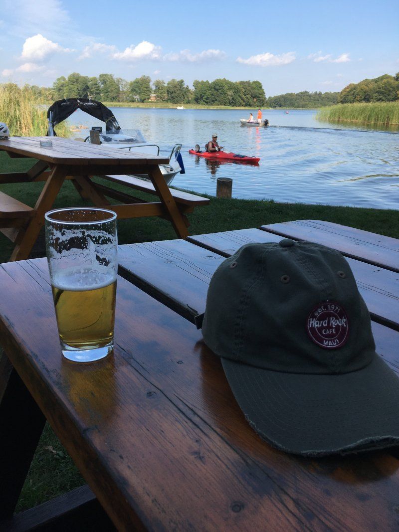
2020-10-06, Kleinzerlang, Radtour
Day
Deidesheim, Deutschland
67146 Deidesheim, Deutschland
49° 24' 34.5" N 8° 11' 5.1" E
49.4095800 8.1847560