Route description for Life and a Rollercoaster
It's finally that time again, we're going on vacation. This time we're going to Spain to the Mediterranean Sea, at least that's plan b now! Plan a was actually Italy but the weather forecast isn't that great. Let's see how we decide on Sunday.
Köln, Deutschland
50° 56' 15.1" N 6° 57' 37" E
50.9375310 6.9602786
☍ 403,9 km (3 hrs. 43 min.)
Day
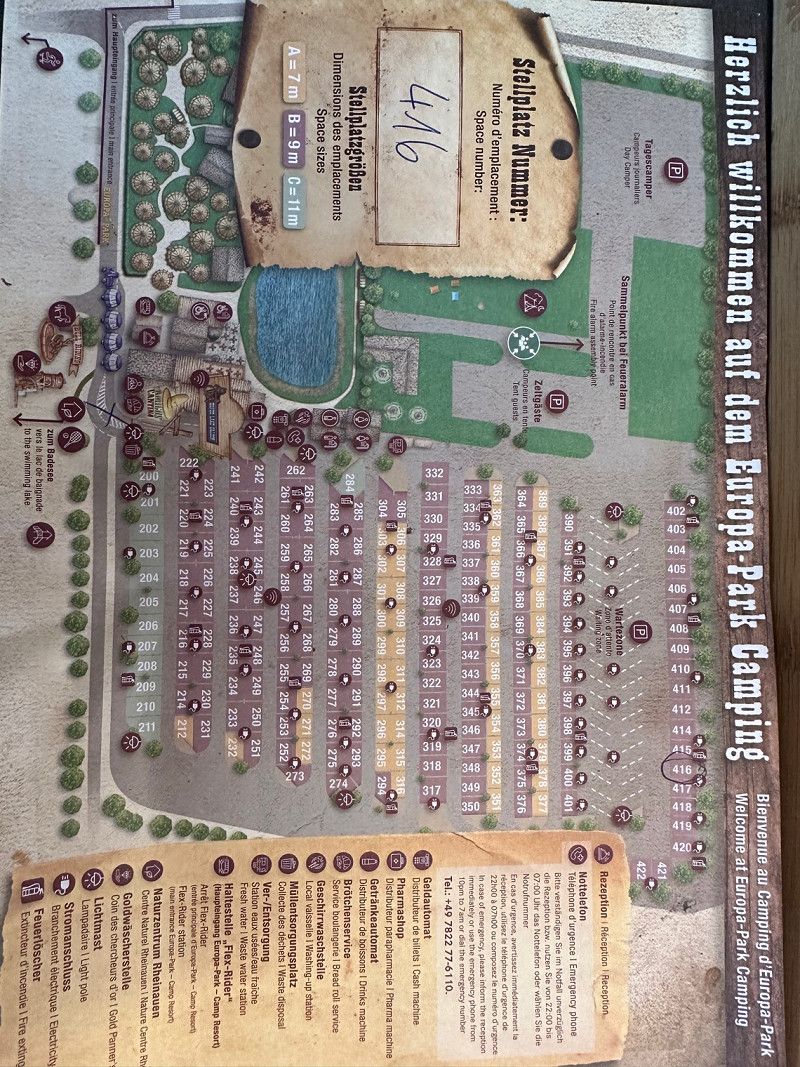
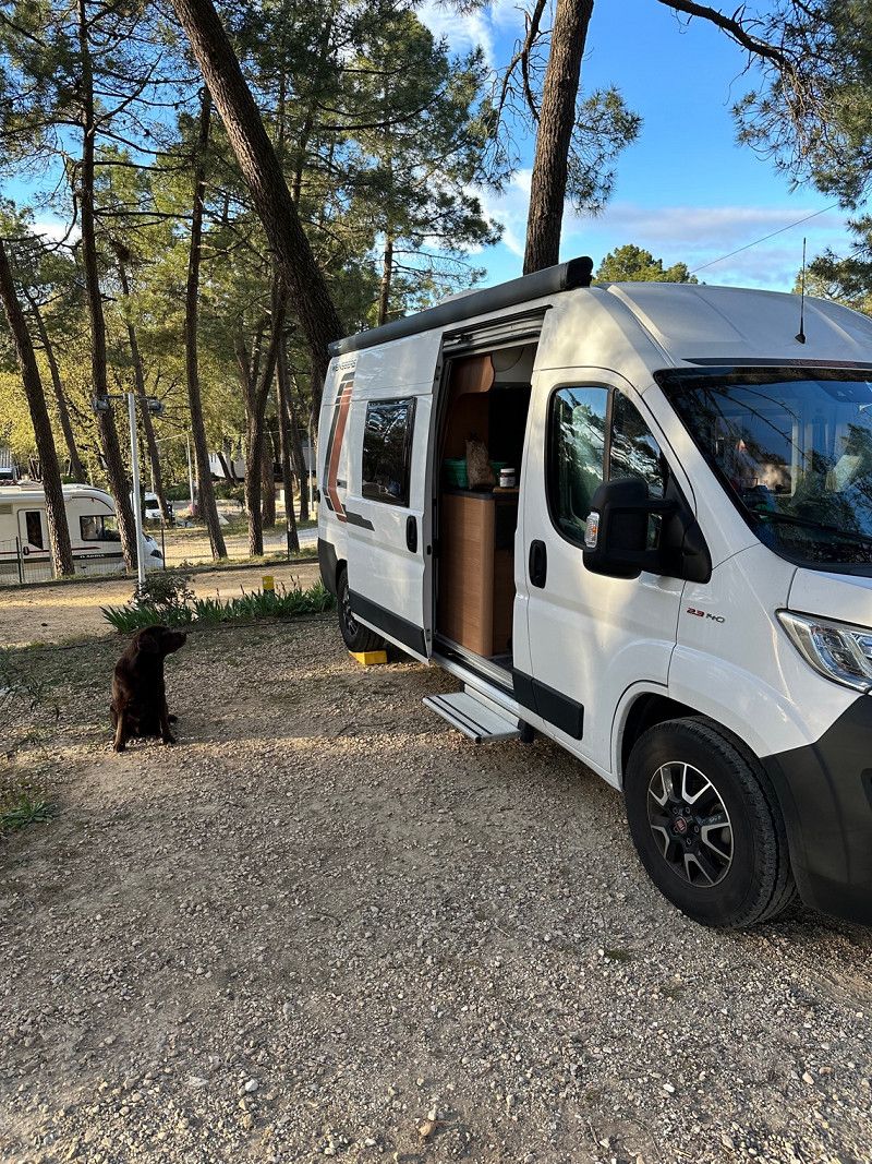
Europa-Park Camping
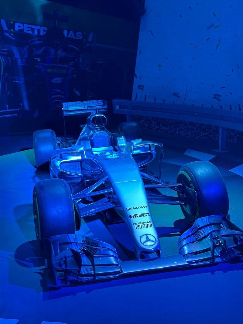
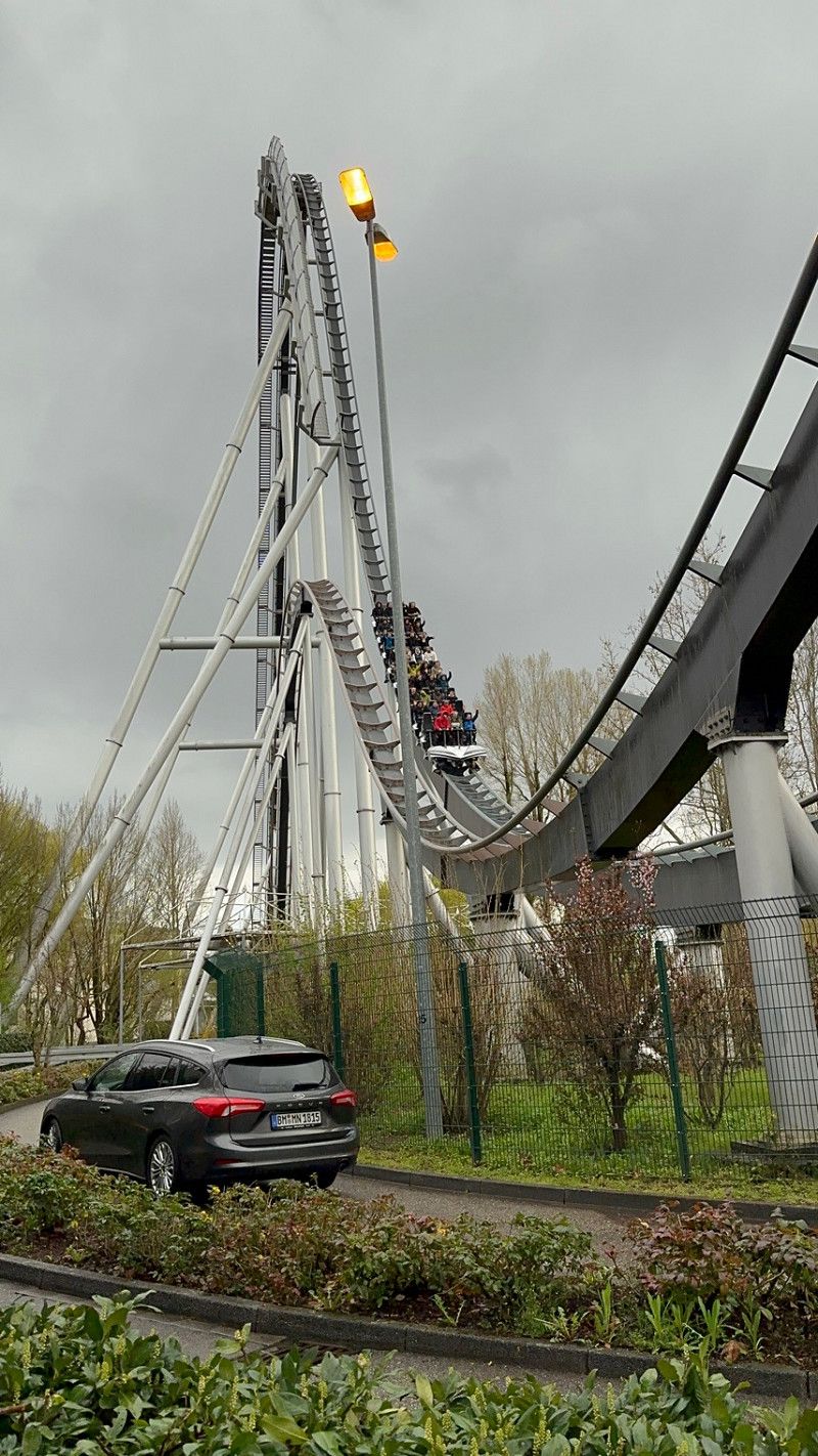
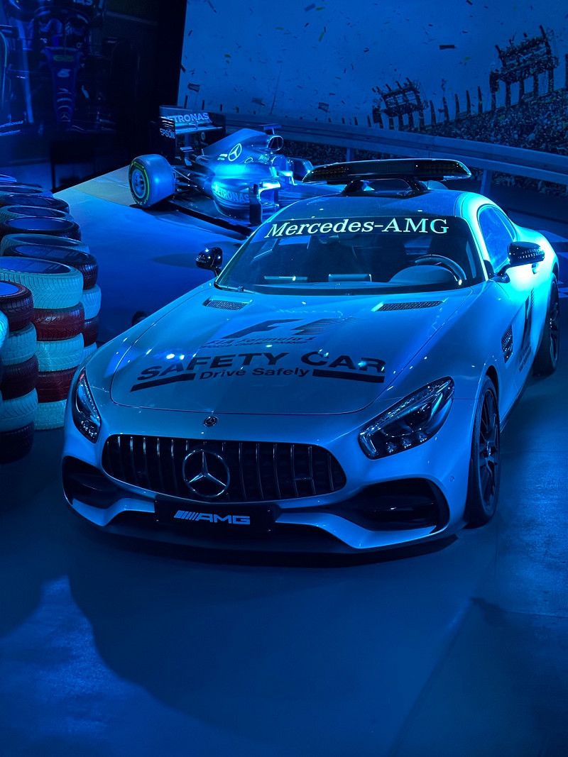
Our son got a ticket for Europa Park for his birthday, so our first stop is the square right near the park.
The weather is rather semi, lots of wet and lots of wind. At least it should be dry tomorrow. We stop at the cozy Silver Lake Saloon. Experience gastronomy, well who likes it. My wife and son are delighted. Wayne the country singer is really great. We chat for a long time because we realize that we have the same dog. Choco Labbis are just great. The food is ok, not bad but not great either. Tomorrow we go to the park.
The park was great! Unfortunately, it often rained and it was cold and wet overall. But the park was pretty empty. Longest waiting time 25 minutes, you can't complain. Now we're exhausted and tomorrow we're off to France.
Rheinweg 5, 77977, Rust, Deutschland
48° 16' 17.8" N 7° 43' 2.2" E
48.2716200 7.7172900
☍ 642,1 km (5 hrs. 46 min.)
Day
Day
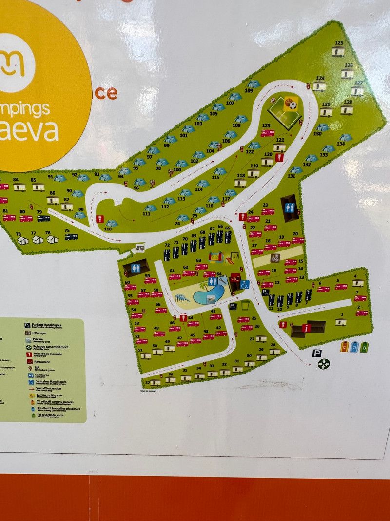
Camping La Pinède en Provence
We had actually planned to make a stop in Mâcon, but the weather was so bad and the freeway so empty that we spontaneously decided to continue driving. After almost doubling the distance for the day, we ended up in this nice little square in the middle of pine trees. Everything is still closed, in the middle of nothing but very nicely and terraced. Unfortunately not really clean. Unisex washrooms and toilets are bolted to the outside. There is no toilet paper. But that could be because it's not a season yet. Definitely recommended for a stopover, but it wouldn't be for us for longer.
La Maresque, 84430, Mondragon, Frankreich
44° 14' 36.8" N 4° 43' 44.4" E
44.2435465 4.7289916
☍ 337,5 km (3 hrs. 13 min.)
Day
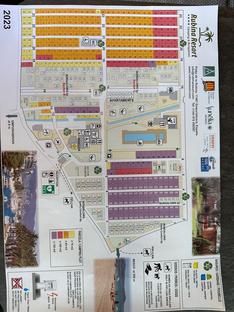
Camping Rubina Resort
Arrived and ready for vacation. The place is great and still quite empty. So we can drive around the square in peace and choose a nice place. The sanitary facilities are in order and clean, a bit old but that doesn't bother us. The restaurant is not good, apart from the salad we couldn't find anything that was ok. The pizza was really bad!
The place is great but unfortunately the only bridge in the place is being renovated at the moment. Unfortunately, the place has become inaccessible on foot due to its construction. Let's see how we deal with it.
The place is great but unfortunately the only bridge in the place is being renovated at the moment. Unfortunately, the place has become inaccessible on foot due to its construction. Let's see how we deal with it.
Playa de la Rubina, 17487, Empuriabrava, Spanien
42° 15' 9.5" N 3° 7' 52.6" E
42.2526500 3.1312800
☍ 5,4 km ( 9 min.)
Day
Camping Joncar Mar
Unfortunately, since the only pedestrian bridge in the village is closed, we have moved to the neighboring village. The space is narrow and the pitches are very small, but you are right in the city and 50 meters from the sea. We'll stay here for now and then look further.
The place is very special. The pitches are really tight and you stand close to each other. Has a bit of the charm of a parking space. Sanitary was unfortunately not so clean for the first time today. At short notice we got a place on the campsite here in the village that we originally wanted to go to, but it was fully booked. So we're moving again tomorrow. But primarily because of our son, because there isn't that much for kids here. Otherwise you can stay here for 3-4 days.
The place is very special. The pitches are really tight and you stand close to each other. Has a bit of the charm of a parking space. Sanitary was unfortunately not so clean for the first time today. At short notice we got a place on the campsite here in the village that we originally wanted to go to, but it was fully booked. So we're moving again tomorrow. But primarily because of our son, because there isn't that much for kids here. Otherwise you can stay here for 3-4 days.
C/ Bernat Metge 9-10, 17480, Roses, Spanien
42° 15' 56" N 3° 9' 47" E
42.2655600 3.1630600
☍ 1,5 km ( 3 min.)
Day
Day
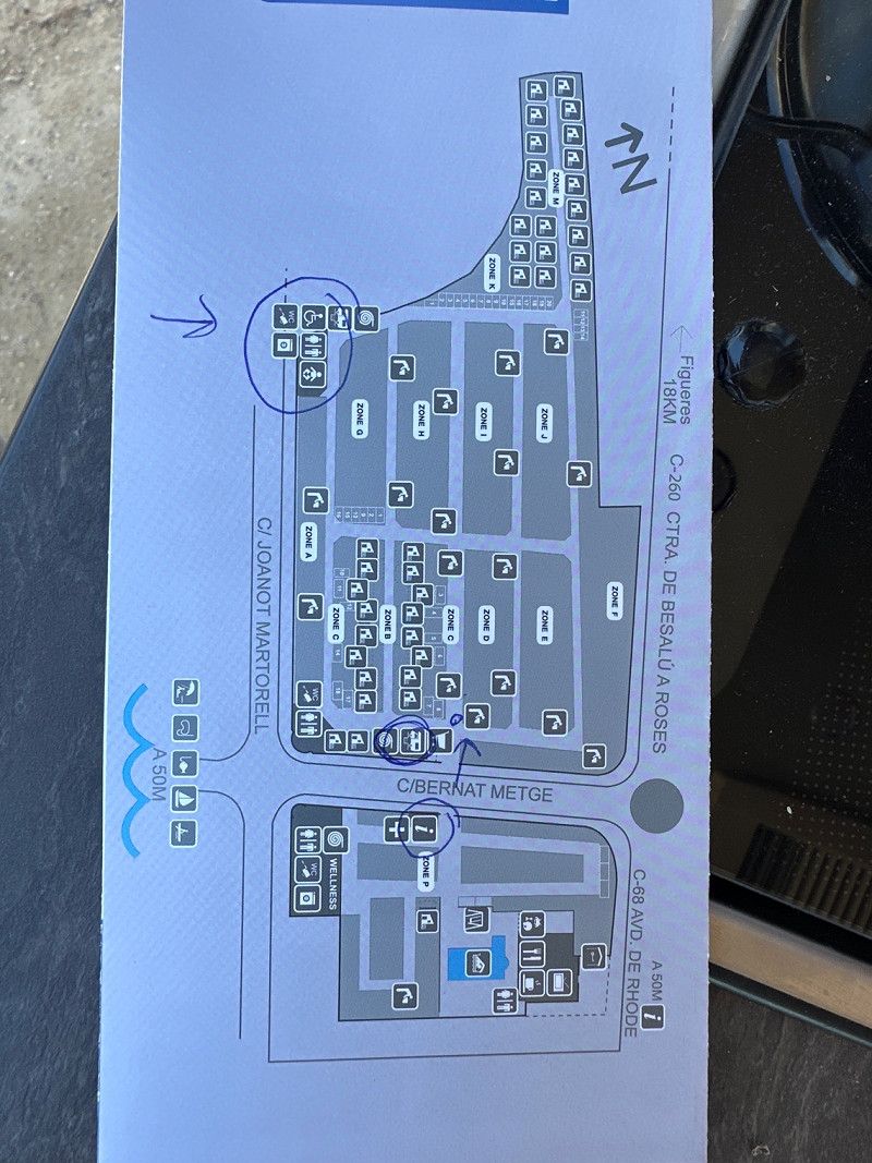
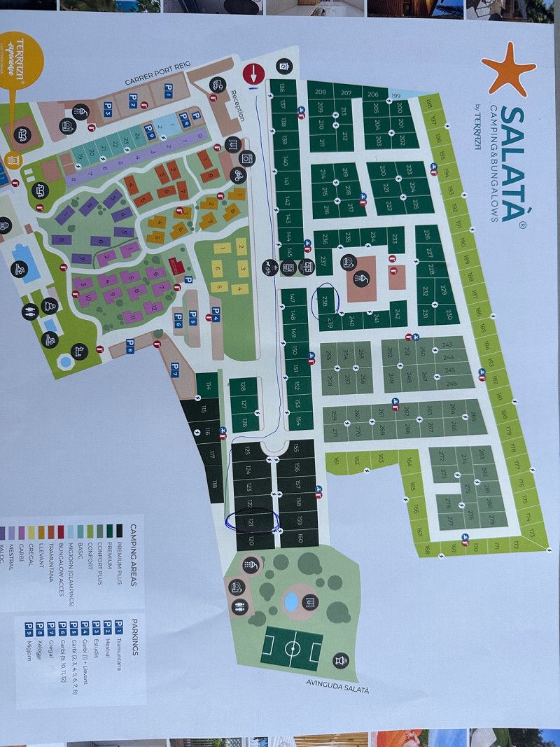
Camping Salatà
Yesterday we were at the campsite that we originally wanted to go to here in Roses and asked if there was a space available. Lo and behold, there is one. So we moved again. There is finally a soccer field here.
Unfortunately, the holiday is slowly coming to an end. The place is really highly recommended, clean and tidy. From my point of view there is nothing to complain about. And the city of Roses is really very beautiful. We'll be back for sure.
Unfortunately, the holiday is slowly coming to an end. The place is really highly recommended, clean and tidy. From my point of view there is nothing to complain about. And the city of Roses is really very beautiful. We'll be back for sure.
Port Reig 44, 17480, Roses, Spanien
42° 15' 59.9" N 3° 9' 25.2" E
42.2666405 3.1569936
☍ 1,230,3 km (11 hrs. 12 min.)
Day
Day
Day
Day
Day
Day
Day
Day
Day
Köln, Deutschland
We drove around 1200 km again, from Roses to Cologne. We did the same thing last year. Somehow we all want to go straight home at the end of our vacation.
50° 56' 15.1" N 6° 57' 37" E
50.9375310 6.9602786