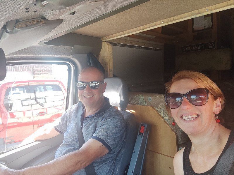
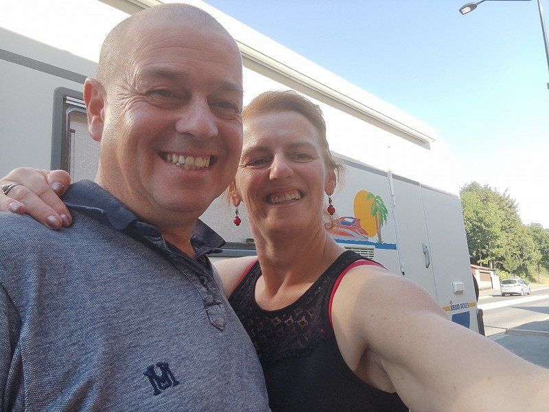
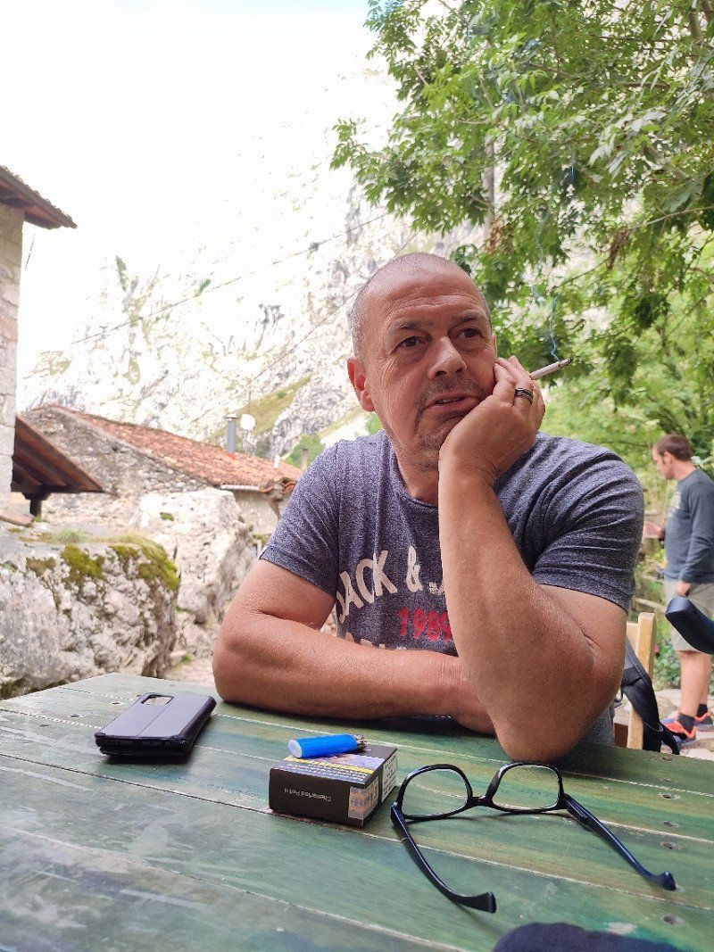
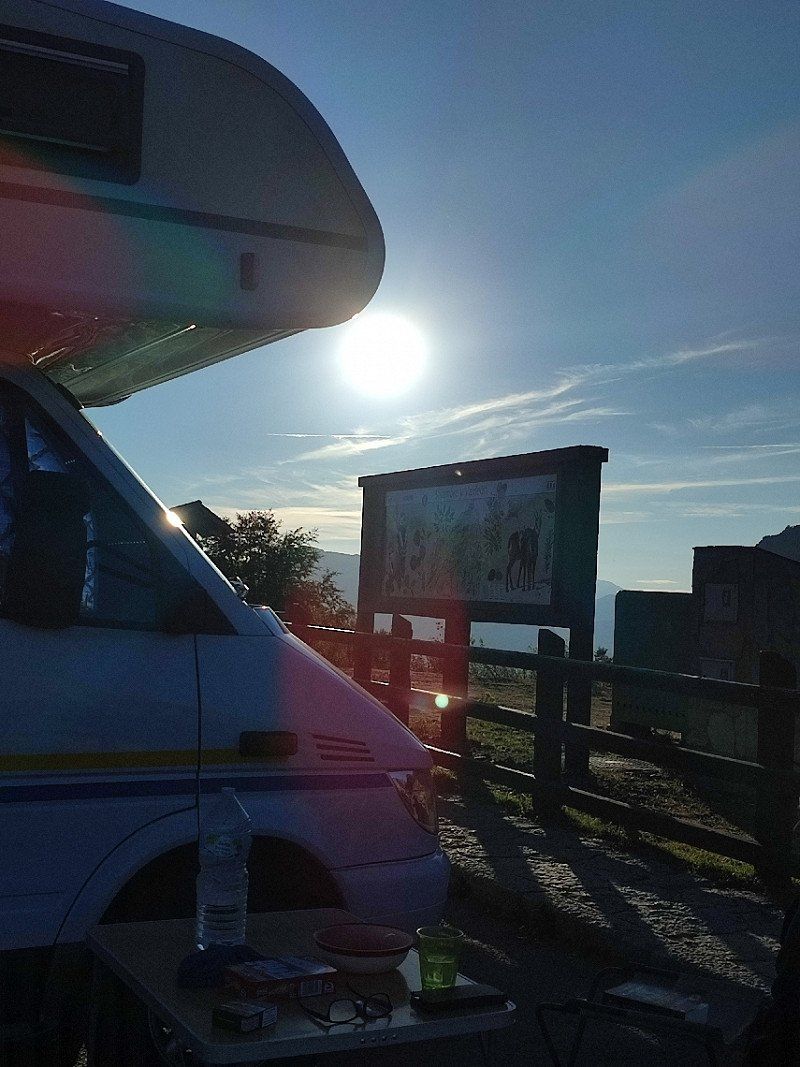
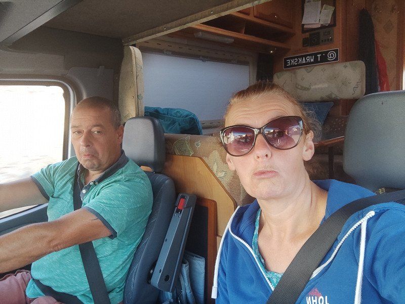
On August 12, 2022, our trip through France and Spain was planned.
No sooner said than done, after my early shift it was time to leave.
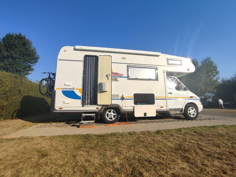
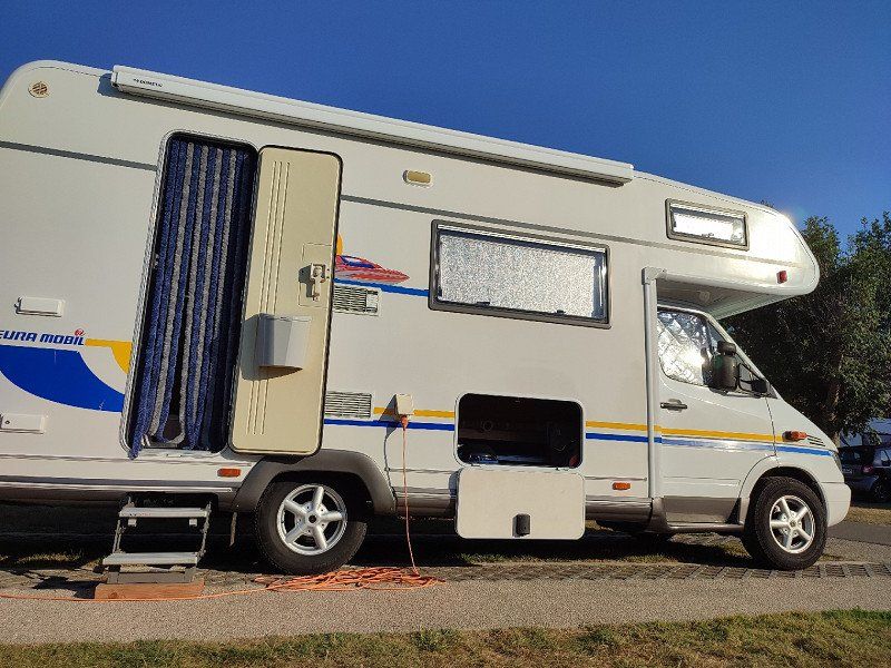
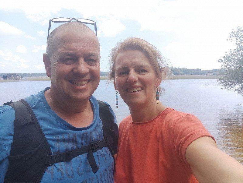
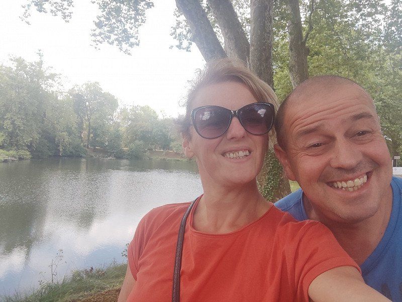
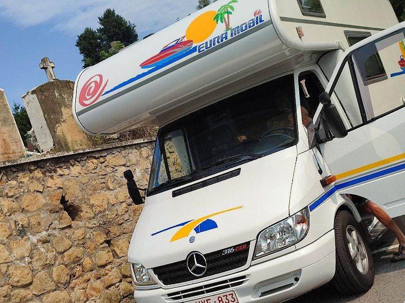
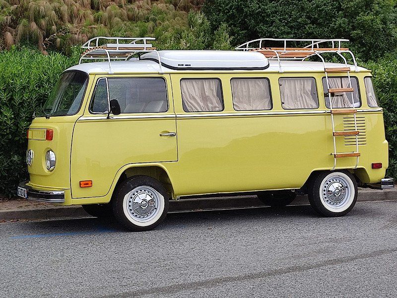
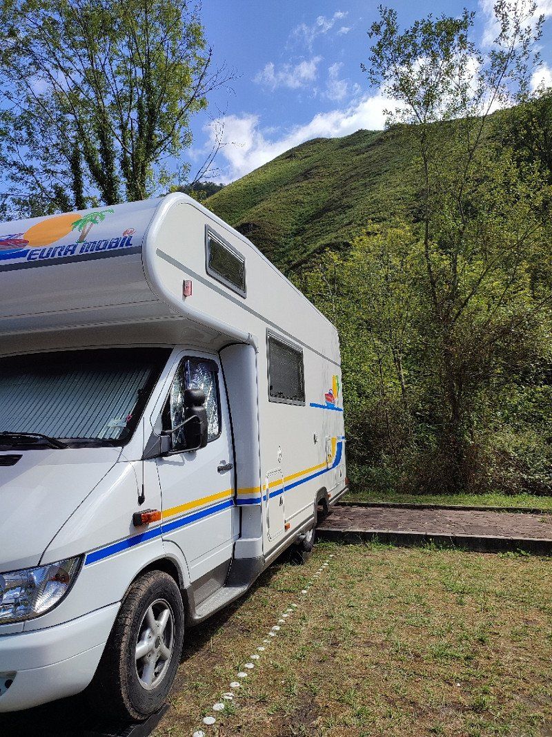
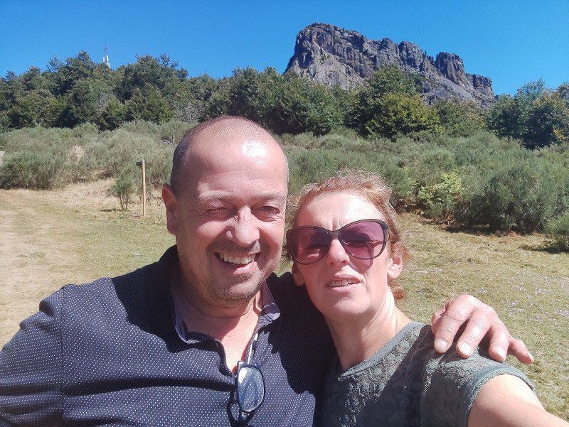
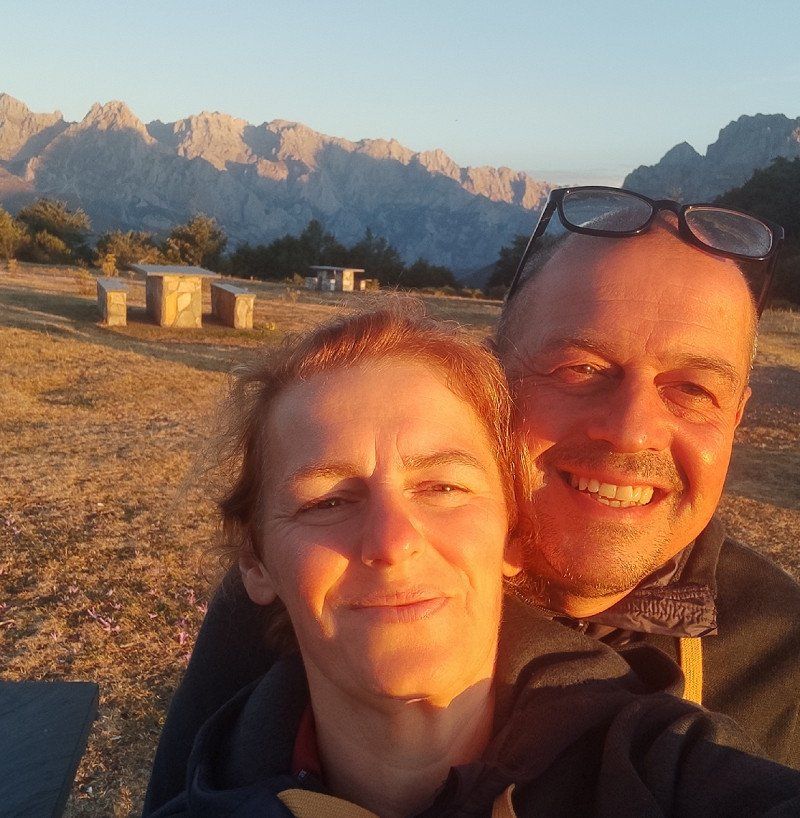
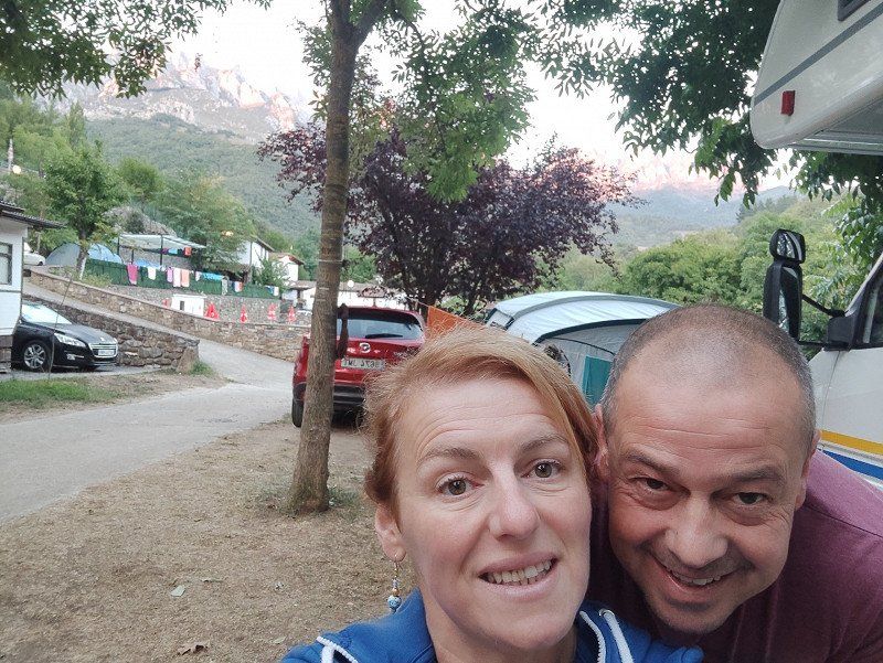
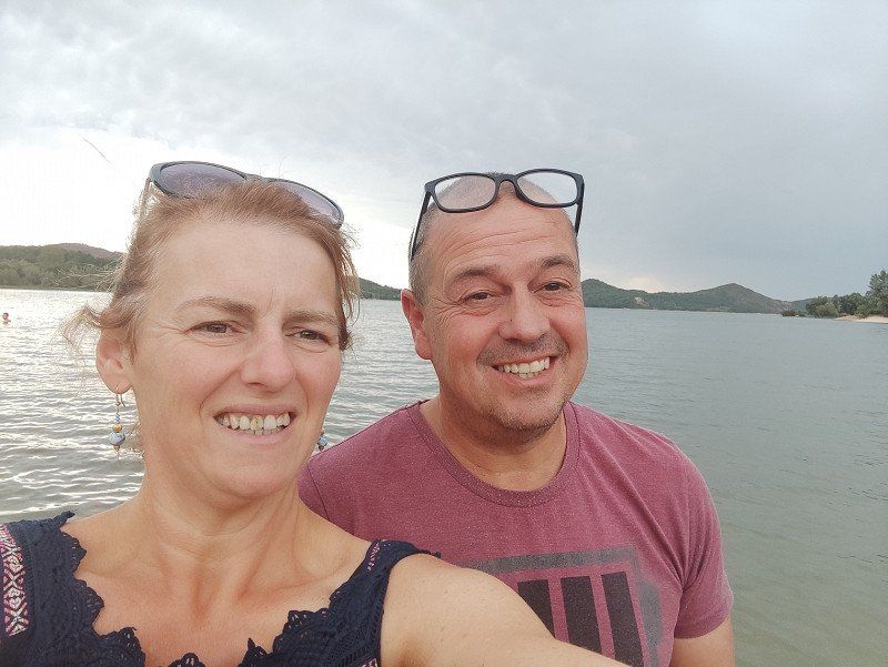
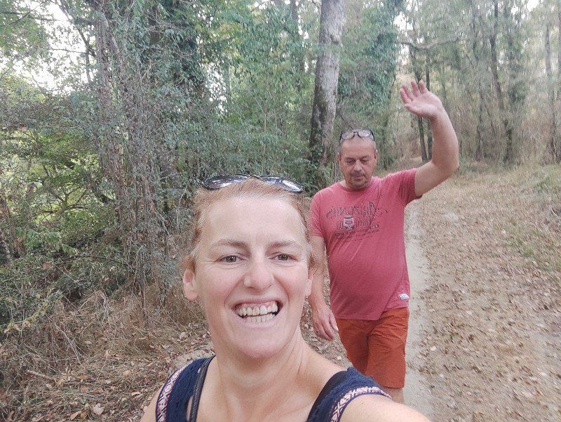
This time without the dogs because the son stayed at home, so it was 'just the two of us'.
Day
Vrijdag 12 augustus 2022.
We left for about 300km, with the motorhome in Neufchâtel-en-Bray in mind.
So around 2.15 pm we were already in a holiday mood and we turned on.
With 't Wrakske up boane, it was back to 'rien and we'll see'.
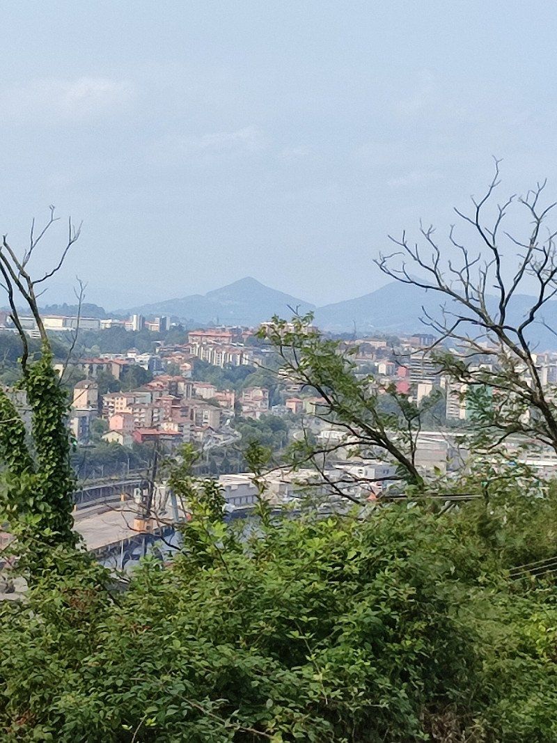
Oostkamp
België
51° 9' 16.5" N 3° 14' 7.8" E
51.1545918 3.2355133
• Head toward Kapellestraat on Stationsstraat. Go for 760 m.
• Take the 1st exit from roundabout onto Gruuthuselaan (N50). Go for 646 m.
• Take the 3rd exit from Europaplein roundabout onto Kapellestraat (N50g). Go for 615 m.
• Turn right and take ramp onto E40 toward Oostende/Brugge. Go for 54.9 km.
• Continue on A16 (Autoroute des Estuaires). Go for 158 km.
• Take exit 23 toward Abbeville-Centre/Le Havre/Rouen/Eu/Le Tréport onto E402 (Autoroute des Estuaires). Go for 1.1 km.
• Take the exit toward Le Tréport/Rouen/Le Havre/St Valéry S/S/Le Crotoy onto A28 (Autoroute des Estuaires). Go for 52.3 km.
• Take exit 7 toward Neufchâtel-Nord. Go for 376 m.
• Turn right onto Rue Bernard Léger (D928) toward Neufchâtel-en Bray/Aumale. Go for 2.0 km.
• Take the 2nd exit from roundabout onto D928 toward Neufchâtel en Bray/Neufchâtel en B./Forges les Eaux. Go for 3.2 km.
• Turn right onto Route de Londinières (D157). Go for 313 m.
• Continue on Route de la Rocade (D157). Go for 443 m.
• Turn right onto Rue de Flandre (D1). Go for 455 m.
• Turn left onto Rue de la Grande Flandre. Go for 49 m.
• Turn left onto Rue de la Grande Flandre. Go for 107 m.
• Arrive at Rue de la Grande Flandre. Your destination is on the left.
☍
275,7 km
(2 hrs. 32 min.)
Rue la Grande Flandre, 76270 Neufchâtel-en-Bray, Frankrijk
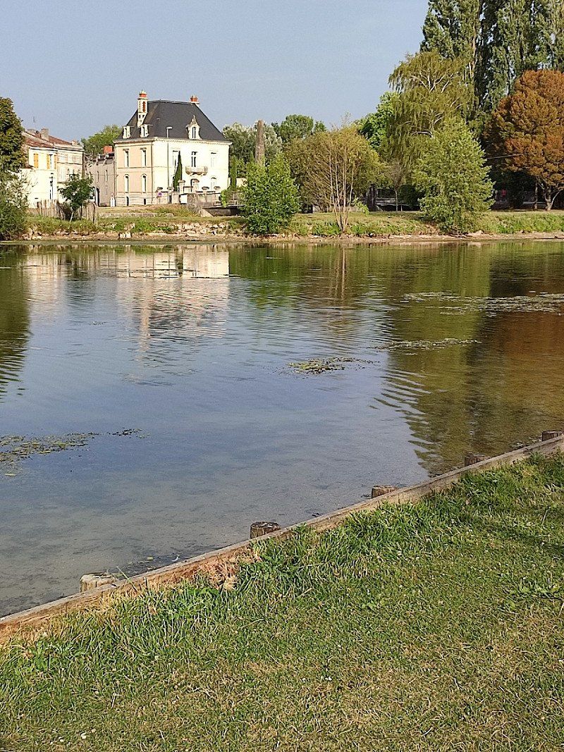
Around 6.45 pm we arrived at the camper place that we had found through park4night. See the link below :
* motorhome parking.https://park4night.com/fr/lieu/9242/aire-camping-car-stationnement-payant/neufch%C3%A2tel-en-bray-rue-grande-flandre/france/seine-maritime#. Yt5c9HZBxEY
But it turned out to be full. Don't worry, there was a campsite next door. See link below :
*http://camping-sainteclaire.com/
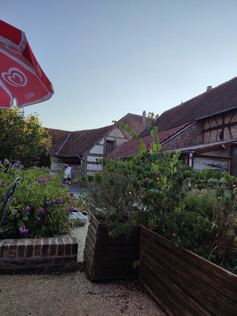
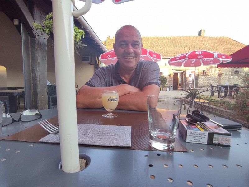
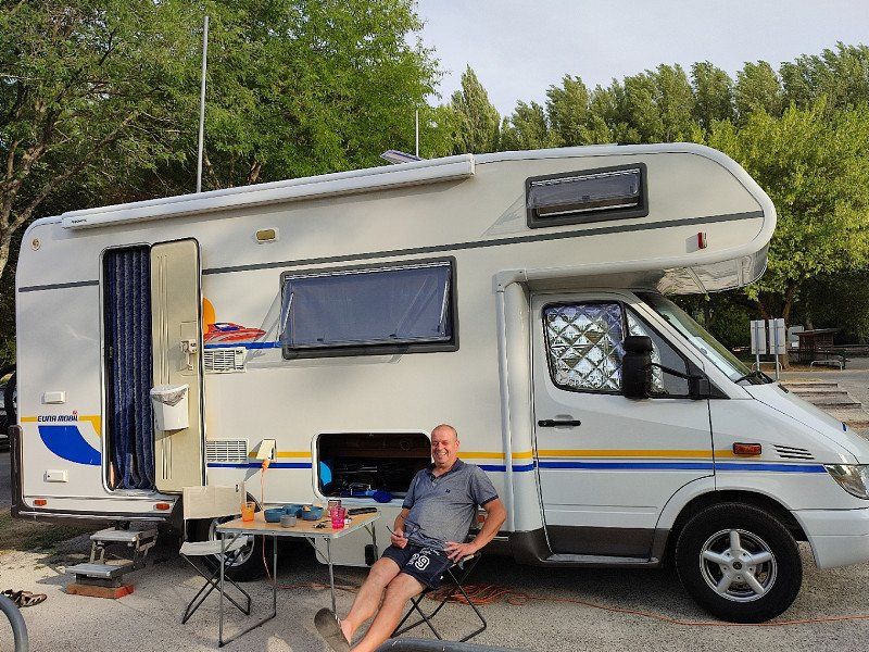
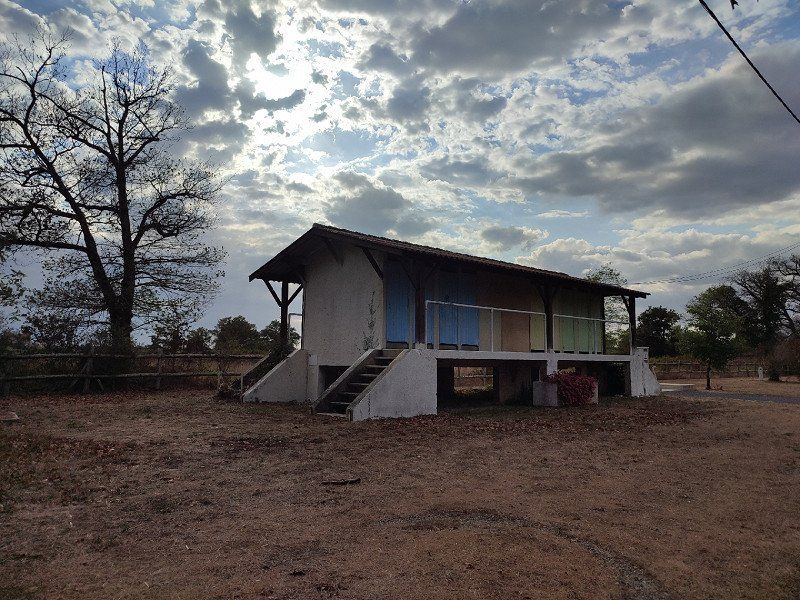
Once we went to the reception and yes we got a nice seat. It was a very well-maintained campsite, and at first sight a cycling network nearby, also not so far from the center. But that was not so important to us now because we were on our way to Spain.
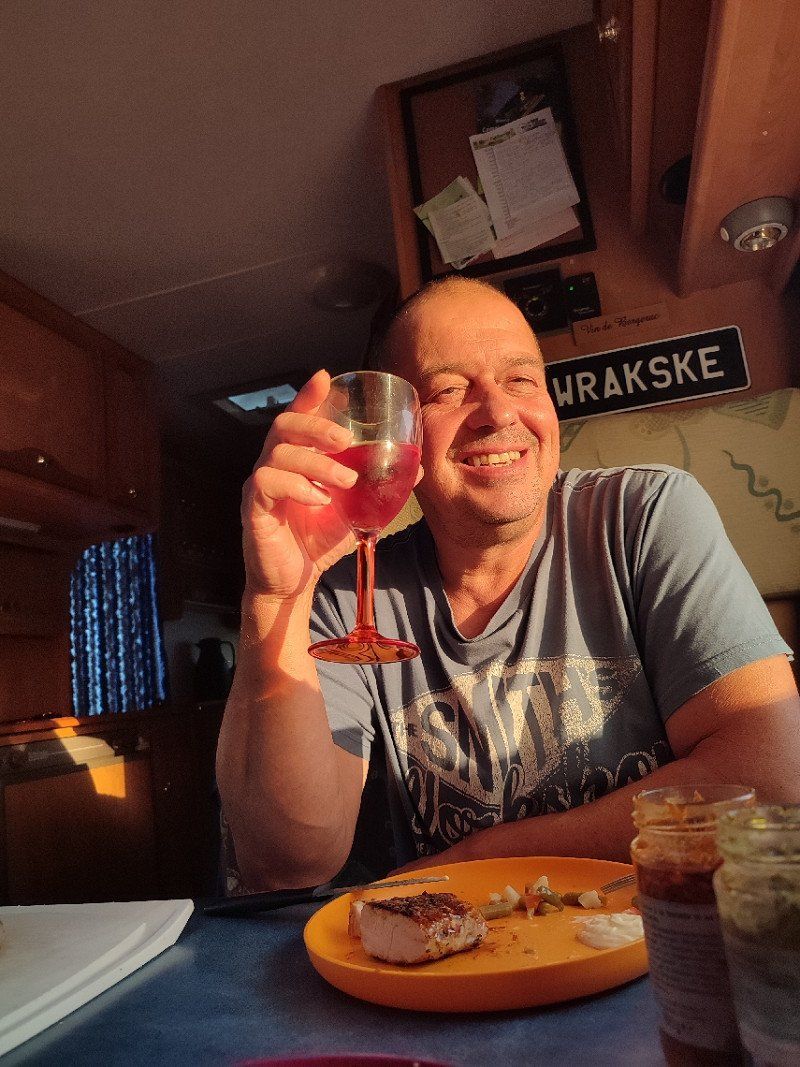
We decided to eat in the restaurant at the campsite, we also had no dishes and such and we could still enjoy a nice evening.
The food there was super tasty.
In the restaurant we got talking with 2 couples who were passing through but back to Belgium because their trip was over.
We really didn't mind that there was no space on the motorhome, nice start to our holiday.
49° 44' 7.9" N 1° 25' 57.5" E
49.7355371 1.4326394
• Head southeast on Rue de la Grande Flandre. Go for 31 m.
• Turn right. Go for 52 m.
• Turn left. Go for 39 m.
• Turn slightly right toward Rue de la Grande Flandre. Go for 161 m.
• Turn right onto Rue de la Grande Flandre. Go for 397 m.
• Take the 1st exit from roundabout onto Avenue des Canadiens (D928). Go for 1.4 km.
• Take right ramp onto A28 toward St Saëns/Les Grandes-Ventes/Rouen. Go for 14.5 km.
• Keep right onto A29 toward Le Havre/Caen. Go for 32.0 km.
• Take exit 9 toward Yvetot. Go for 1.3 km.
• Take the 2nd exit from roundabout onto D929 toward Yvetot. Go for 3.6 km.
• Take the 2nd exit from roundabout onto D6015 toward Fécamp/Le Havre/Yvetot/Pont de Brotonne. Go for 942 m.
• Take the 3rd exit from roundabout onto D131 E toward Caudebec en Caux/Pont de Brotonne. Go for 2.2 km.
• Pass 2 roundabouts and continue on Boulevard Commandant Serge Bichot (D131 E). Go for 2.8 km.
• Take the 3rd exit from roundabout onto Route de Caudebec (D131) toward A13/Caudebec en Cx/Pont de Brotonne. Go for 1.0 km.
• Pass 3 roundabouts and continue on D131. Go for 4.1 km.
• Continue on D490. Go for 383 m.
• Pass 2 roundabouts and continue on D490. Go for 6.8 km.
• Take the 4th exit from roundabout onto D490. Go for 1.3 km.
• Arrive at Pont de Brotonne (D490). Your destination is on the right.
☍
73,1 km
( 49 min.)
Day
Zaterdag 13 augustus 2022
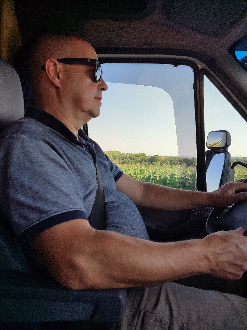
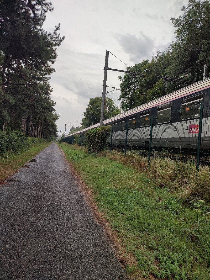
At 08:05 AM we already leave for another mile-eater. We therefore drive inland and do not do any motorways.
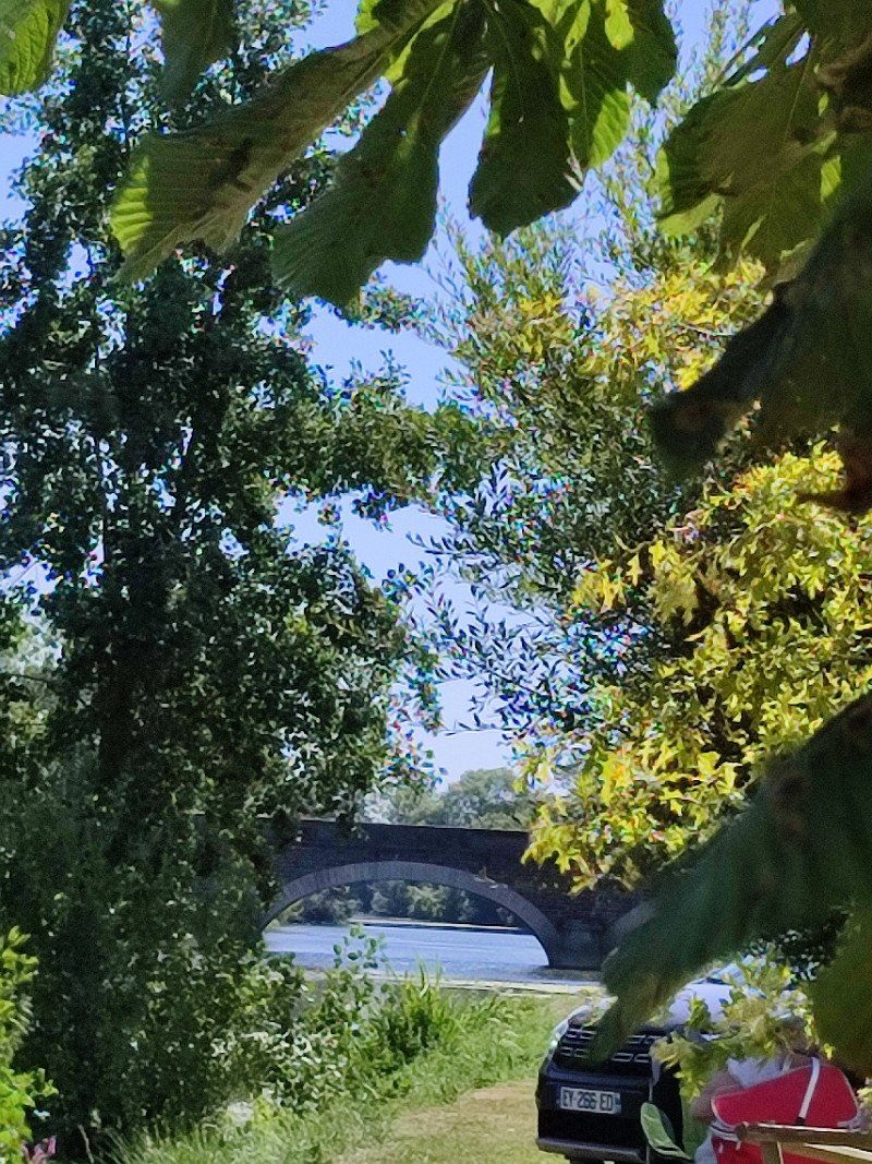
Pont de Brotonne, Rives-en-Seine, Frankrijk
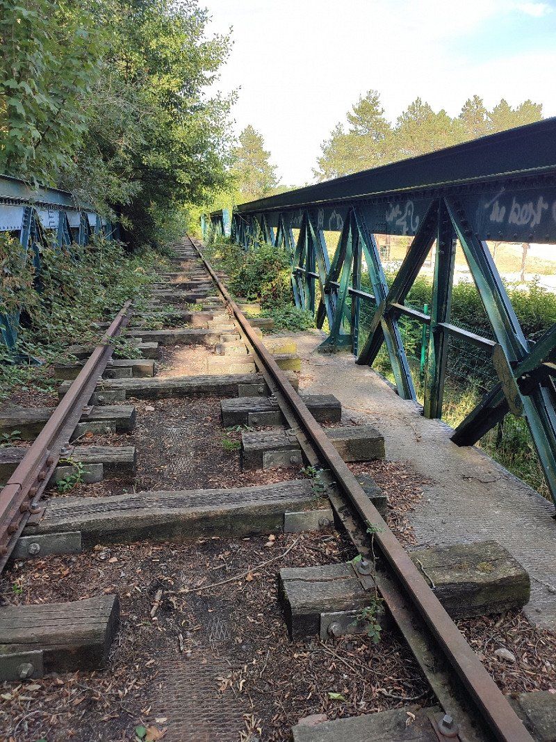
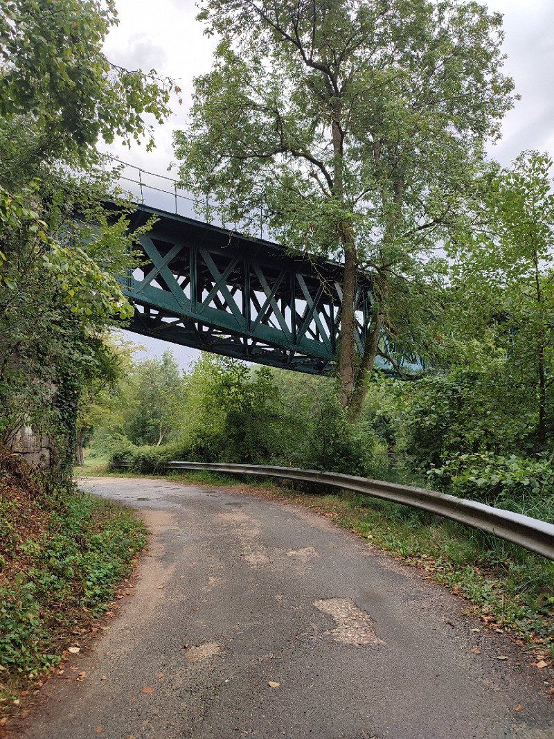
We drive over the Pont de Brotonne, I recognized it immediately because we had also driven over it in May, but then it was on the way back from our tour through France.
76490 Rives-en-Seine, Frankrijk
49° 31' 13.9" N 0° 44' 50.2" E
49.5205268 0.7472835
• Head northeast on Pont de Brotonne (D490). Go for 631 m.
• Take the 3rd exit from roundabout onto D490. Go for 1.9 km.
• Pass 2 roundabouts and continue on D490. Go for 6.4 km.
• Take the 2nd exit from roundabout onto Route de Bourg Achard (D913). Go for 5.3 km.
• Continue on Route Departementale 313 (D313). Go for 3.2 km.
• Take the 2nd exit from roundabout onto Route Departementale 313 (D313). Go for 2.7 km.
• Turn left and take ramp onto A28 toward Le Mans/Alençon. Go for 16.1 km.
• Take exit 13 toward Le Neubourg/Brionne. Go for 414 m.
• Take ramp. Go for 153 m.
• Take the 2nd exit from roundabout toward Elbeuf/Brionne/Bourgtheroulde/Le Neubourg. Go for 448 m.
• Take the 2nd exit from roundabout onto D438 toward Lisieux/Alençon/Brionne/Abbaye du Bec Hellouin. Go for 7.4 km.
• Take the 3rd exit from roundabout onto Rue du Cimetière (D438) toward Bernay. Go for 6.3 km.
• Take the 1st exit from roundabout onto Lieu-dit Malbrouck (D613) toward Lisieux. Go for 6.9 km.
• Turn left onto Route du Lieuvin. Go for 97 m.
• Continue on D29. Go for 1.2 km.
• Turn left onto Route de la Chapelle Saint-Clair (D834). Go for 712 m.
• Take the 3rd exit from roundabout toward Le Havre/Rouen/Elbeuf/Bordeaux/Le Mans/Alençon. Go for 529 m.
• Continue straight ahead. Go for 21 m.
• Take the 1st exit from roundabout. Go for 497 m.
• Take ramp onto A28. Go for 106 km.
• Take exit 20 toward Sillé le Guillaume/La Hutte/Fresnay/Sillé le G. Go for 768 m.
• Take the 1st exit from roundabout onto Lieu-dit La Nouvelle France (D310) toward La Hutte. Go for 2.9 km.
• Take the 3rd exit from roundabout onto Avenue de la Division Leclerc (D338) toward Alençon/Piacé/Beaumont S/Sarthe/Prieuré de Vivoin. Go for 4.9 km.
• Take the 2nd exit from roundabout onto Route Nationale (D338). Go for 1.7 km.
• Turn left onto Rue du Guesclin (D27 B) toward Vivoin. Go for 17 m.
• Turn right onto Place du Maréchal Leclerc de Hautecloque. Go for 34 m.
• Arrive at Place du Maréchal Leclerc de Hautecloque. Your destination is on the right.
☍
176,8 km
(1 hrs. 48 min.)
Juillé, Frankrijk
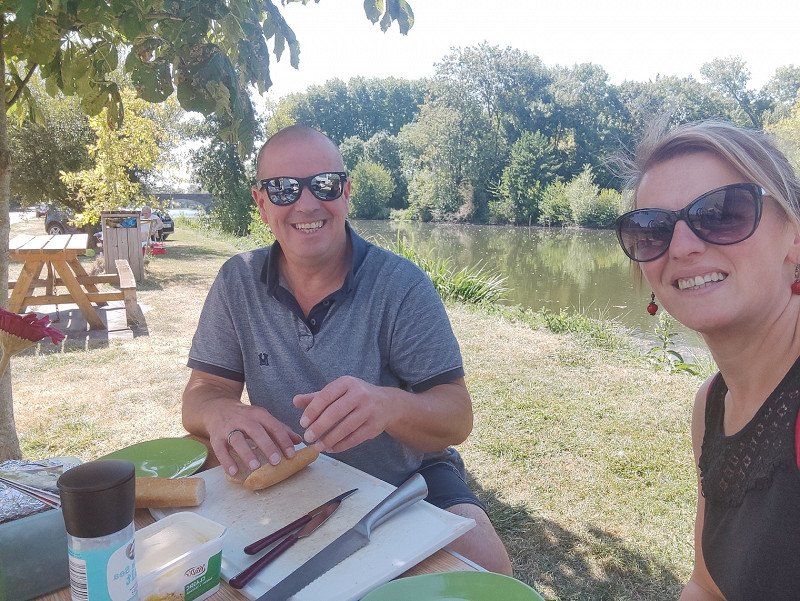
Around noon we drive somewhere through Juillé (Sarthe), over a bridge, and we see a nice place to have something to eat.
Very ydillisch, our baguette and fromage were brought out.....yes, this is it, vacation!!!!
72170 Juillé, Frankrijk
48° 14' 40.8" N 0° 7' 21" E
48.2446700 0.1224890
• Head toward Place du Maréchal Leclerc on Place du Maréchal Leclerc de Hautecloque. Go for 34 m.
• Turn left onto Rue du Guesclin (D27 B). Go for 17 m.
• Turn left onto Route d'Or (D338). Go for 1.7 km.
• Pass 4 roundabouts and continue on D338. Go for 21.9 km.
• Take the 3rd exit from roundabout onto D338 toward A28/A11/Le Mans. Go for 582 m.
• Keep left toward Route d'Alençon/D338. Go for 291 m.
• Continue on Route d'Alençon (D338). Go for 1.8 km.
• Keep left onto Route d'Alençon (D338) toward Le Mans Centre/Bonnétable/Coulaines/Mamers/Z.I. Nord. Go for 279 m.
• Take the 2nd exit from roundabout onto Avenue Rhin et Danube (D304) toward Le Mans-Centre/Z.I. Nord. Go for 480 m.
• Pass 2 roundabouts and continue on Avenue Rhin et Danube. Go for 1.4 km.
• Take the 2nd exit from roundabout onto Rue Voltaire. Go for 701 m.
• Take the 2nd exit from roundabout onto Pont Yssoir. Go for 91 m.
• Take the 2nd exit from roundabout onto Rue Wilbur Wright. Go for 309 m.
• Take the 2nd exit from roundabout onto Place Quinconces des Jacobins. Go for 103 m.
• Continue on Avenue Pierre Mendès France. Go for 129 m.
• Arrive at Avenue Pierre Mendès France. Your destination is on the right.
☍
29,8 km
( 27 min.)
Le Mans, Frankrijk
48° 0' 22" N 0° 11' 58.4" E
48.0061100 0.1995560
• Head toward Rue de l'Étoile on Avenue Pierre Mendès France. Go for 67 m.
• Continue on Avenue François Mitterrand. Go for 163 m.
• Turn left onto Avenue du Général de Gaulle. Go for 195 m.
• Take the 1st exit from roundabout onto Avenue Bollée. Go for 709 m.
• Pass 4 roundabouts and continue on Avenue Bollée. Go for 1.2 km.
• Take the 1st exit from roundabout onto Boulevard Nicolas Cugnot (D314). Go for 2.1 km.
• Take the 3rd exit from roundabout onto Avenue du Docteur Jean Mac (D304). Go for 2.0 km.
• Take the 2nd exit from Giratoire des Étangs Chauds roundabout onto D304 toward A28 (A11)/Chartres/Orléans/Changé/Parigné l'Évêque. Go for 220 m.
• Take the 2nd exit from roundabout onto D304 toward A28 (Tours)/Parigné l'Évêque/La Chartre S/le Loir/Z.A. de Changé. Go for 2.2 km.
• Take the 2nd exit from roundabout onto Lieu-dit La Loge (D304). Go for 3.6 km.
• Take the 3rd exit from roundabout onto A28 toward Tours. Go for 74.8 km.
• Take the exit toward E502/Bordeaux/Vierzon/Tours onto A10 (L'Aquitaine). Go for 215 km.
• Take exit 34 toward Cognac/St Jean d'Angély/Moulinveau. Go for 1.3 km.
• Take the 4th exit from roundabout onto D939 toward Moulinveau. Go for 591 m.
• Continue on Rue de Moulinveau (D939). Go for 1.0 km.
• Continue on Faubourg d'Aunis (D939). Go for 212 m.
• Take the 1st exit from roundabout onto Faubourg d'Aunis (D939). Go for 563 m.
• Turn right onto Avenue du Port (D18). Go for 812 m.
• Arrive at Avenue de Marennes (D18). Your destination is on the right.
☍
306,5 km
(2 hrs. 45 min.)
Avenue de Marennes, Saint-Jean-d'Angély, Frankrijk
We also pass by Le Mans to arrive at the camper place around 6.30 pm.
It was a via camper car park, see the link below :
*https://www.campingcarpark.com/fr_FR/sejour/aire-etape-camping-car/nouvelle-aquitaine/17-charente-maritime/st-jean-d-angely-plan-d-eau-de-bernouet
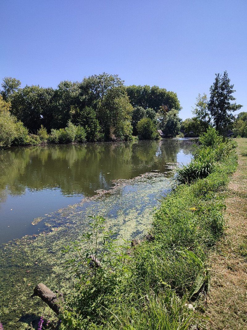
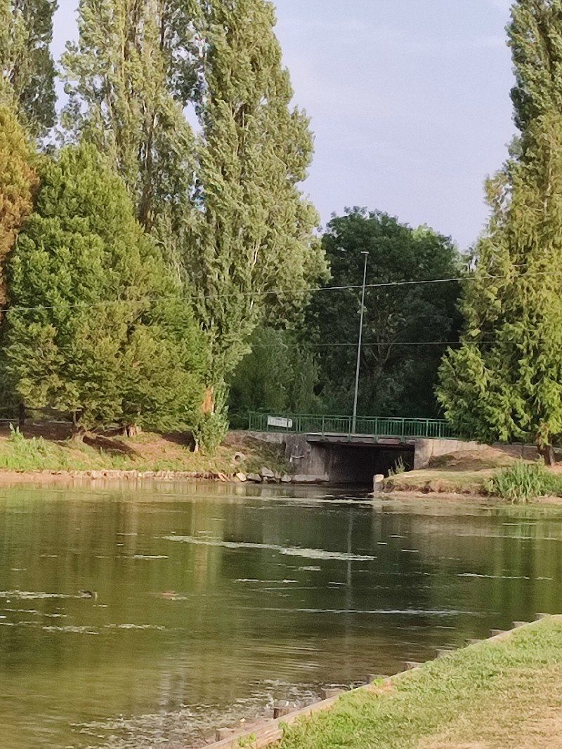
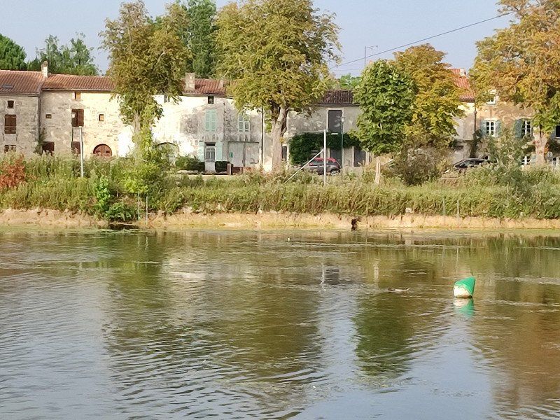
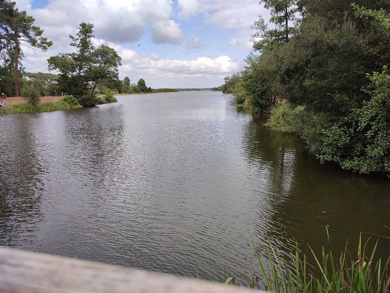
Beautiful place on a pond, there was also quite a bit of animation.
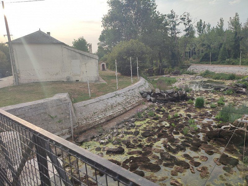
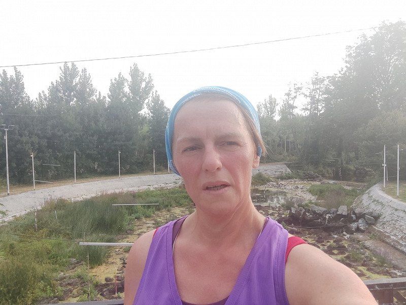
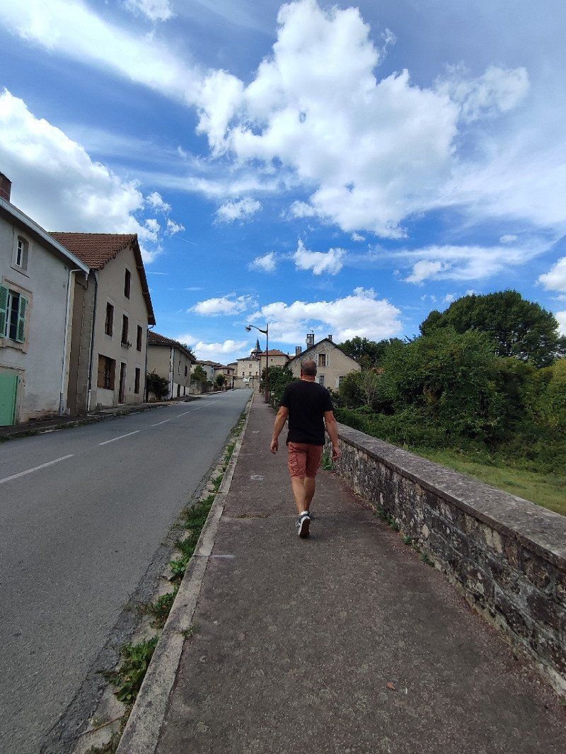
But because of the number of km's and sitting still, I needed to move. I then put on my running shoes and walked around the block. It was, of course, far too hot, but it felt good to be on the move once in a while.
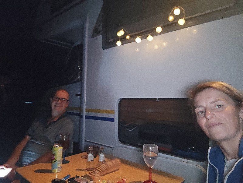
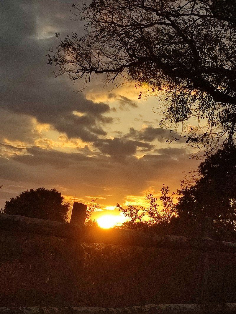
Night fell and we settled in....
Av. de Marennes, 17400 Saint-Jean-d'Angély, Frankrijk
45° 56' 40" N 0° 32' 13.8" W
45.9444509 -0.5371748
• Head northeast on Avenue de Marennes (D18). Go for 812 m.
• Turn left onto Faubourg d'Aunis (D939). Go for 532 m.
• Take the 2nd exit from roundabout onto Faubourg d'Aunis (D939). Go for 251 m.
• Continue on Rue de Moulinveau (D939). Go for 1.0 km.
• Continue on D939. Go for 443 m.
• Take the 1st exit from roundabout onto A10 (L'Aquitaine) toward Bordeaux/Saintes. Go for 132 km.
• Take exit 1 toward Toulouse/Bayonne/Bassin d'Arcachon/Bordeaux/Périgueux onto N230 (Rocade de Bordeaux). Go for 19.8 km.
• Take exit 15 toward Saint Sébastien/Bayonne/Mont de Marsan/Bassin d'Arcachon onto A63. Go for 83.2 km.
• Take exit 15 toward Sabres/Escource/Écomusée de Marquèze. Go for 447 m.
• Pass 3 roundabouts and continue on Avenue de la Gare (D44). Go for 22.6 km.
• Turn right onto Rue du Jardin Public. Go for 216 m.
• Continue on Rue Grand-Pierre (D329). Go for 41 m.
• Turn left onto Rue Grand-Pierre (D329). Go for 17 m.
• Continue on Avenue de Bordeaux (D626). Go for 2.0 km.
• Take the 2nd exit from roundabout onto Avenue de la Plage (D626). Go for 1.6 km.
• Continue on D626. Go for 1.2 km.
• Take the 1st exit from roundabout onto Route du C.E.L. Go for 403 m.
• Continue on Route du C.E.L. Go for 205 m.
• Continue on Rue du Lycée. Go for 9 m.
• Arrive at Rue du Lycée.
☍
266,4 km
(2 hrs. 47 min.)
Day
Zondag 14 augustus 2022
This was the plan :
We drive to the coast just before the border with Spain.
Spend the night via camper car park and stay for two nights to start our Spanish adventure.
https://www.campingcarpark.com/fr_FR/sejour/aire-etape-camping-car/nouvelle-aquitaine/40-landes/mimizan
BUT it soon became clear that we didn't want to do that or had something else in mind, we wouldn't do Montfort or maybe Mimizan or maybe something else.
Yep, our statement of 'rien and we'll see' was put to the test. Just kidding.
Route du CEL, Mimizan, Frankrijk
It became Mimizan after all. So around 8:15 am we drove towards the coast, closer to our target, Spain.
According to the Camper car park app, there was still room in Mimizan. So we went there, but it was very busy and after a round at the camper place we were like, naaahhhh not our thing.
So the back up plan and no it was not Montfort, but Pontex les Forges.
Rte du CEL, 40200 Mimizan, Frankrijk
44° 13' 1.9" N 1° 16' 54.5" W
44.2172000 -1.2818090
• Head toward Boulevard de l'Atlantique on Rue du Lycée. Go for 9 m.
• Continue on Route du C.E.L. Go for 593 m.
• Take the 3rd exit from roundabout onto D626. Go for 1.3 km.
• Continue on Avenue de la Plage (D626). Go for 1.6 km.
• Take the 2nd exit from roundabout onto Avenue de la Plage (D626). Go for 432 m.
• Turn left onto Rue des Trois Pignes (D87) toward Ste Eulalie en B/Parentis/Biscarosse. Go for 940 m.
• Turn right onto Avenue de Vigon (D329). Go for 667 m.
• Take the 3rd exit from Rue de Galand roundabout onto Avenue de Vigon (D329). Go for 769 m.
• Turn left onto Avenue de Bordeaux (D626). Go for 259 m.
• Take the 3rd exit from roundabout onto Route des Lacs (D626). Go for 2.1 km.
• Pass 2 roundabouts and continue on Route des Lacs (D626). Go for 7.3 km.
• Turn right onto Place Charles de Gaulle. Go for 27 m.
• Arrive at Place Charles de Gaulle. Your destination is on the right.
☍
16,0 km
( 20 min.)
Pontenx-les-Forges, Frankrijk
We arrived at the camper place, and there we had choice stress .... plenty of space.
But surrounded by trees on the edge of a village, yes this was more our thing. See link below :
*https://www.campingcarpark.com/fr_FR/sejour/aire-etape-camping-car/nouvelle-aquitaine/40-landes/pontenx-les-forges
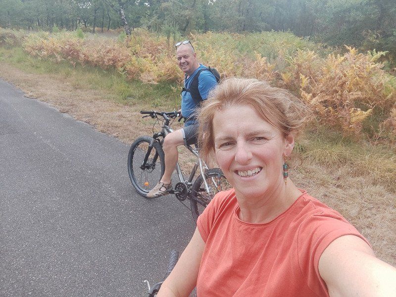
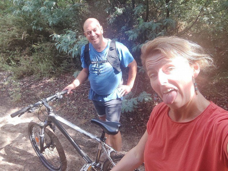
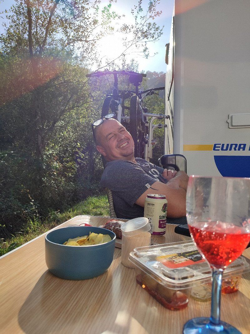
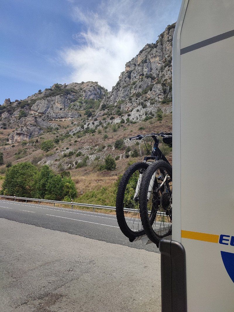
It was about 1.30 pm, a quick bite and the idea came to get the bikes off the rack.
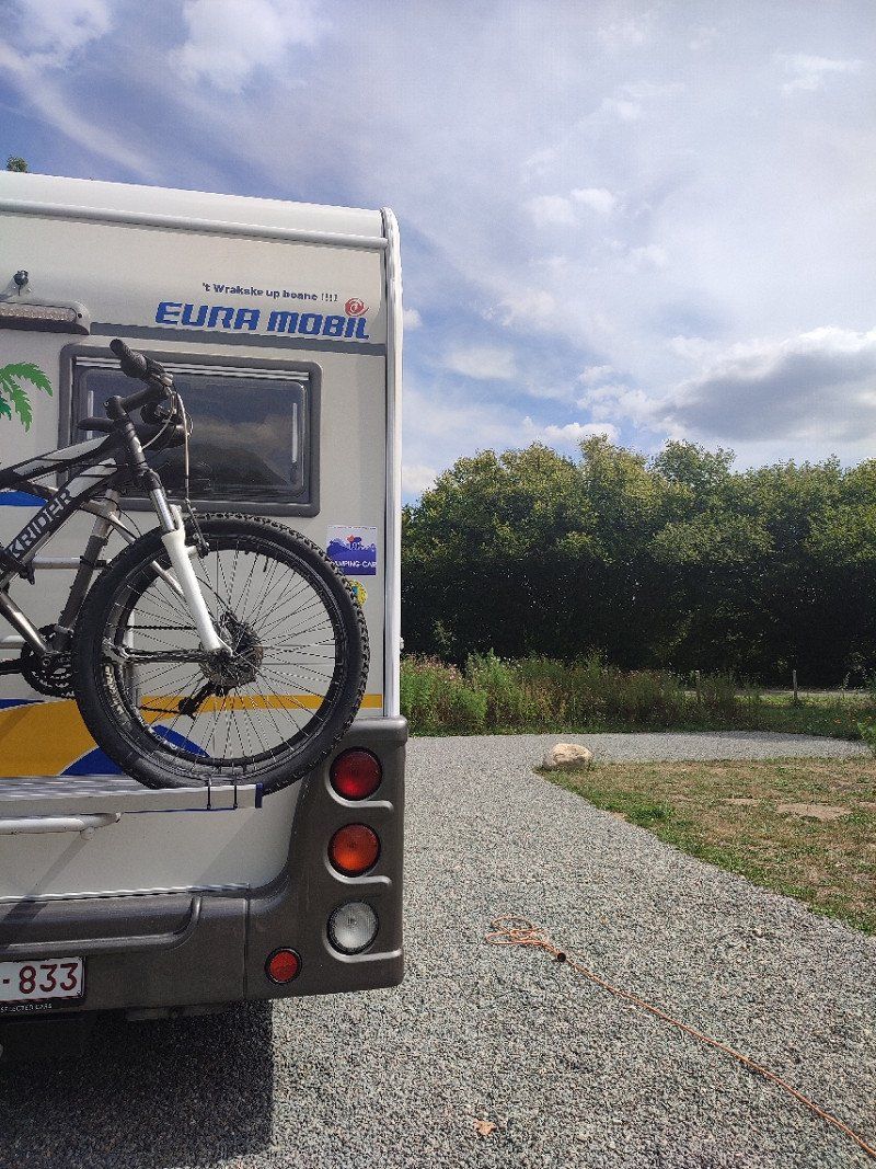
A small tour we thought, it soon became a ride of about 27 km, tour around lac D'Aureilhan.
It was a great day.
40200 Pontenx-les-Forges, Frankrijk
44° 14' 27.7" N 1° 7' 17.2" W
44.2410349 -1.1214340
• Head toward Chemin de la Fontaine d'Or on Place Charles de Gaulle. Go for 42 m.
• Turn left onto Place Charles de Gaulle. Go for 57 m.
• Turn right onto Avenue Gustave Caliot (D626). Go for 1.3 km.
• Turn right onto Route d'Escource (D46). Go for 10.3 km.
• Turn left onto D44. Go for 672 m.
• Take the 2nd exit from roundabout onto D44. Go for 5.0 km.
• Take the 3rd exit from roundabout onto A63 toward Bayonne. Go for 123 km.
• Continue on AP-8 (Autopista del Cantábrico). Go for 11.0 km.
• Take exit 11 toward Oiartzun/Errenteria. Go for 475 m.
• Continue on Camino a Oreta (GI-2134). Go for 153 m.
• Take the 1st exit from roundabout onto GI-2132 toward Errenteria/N-1/Donostia/S. Sebastián/Irun. Go for 237 m.
• Keep left onto GI-2132. Go for 95 m.
• Take the 2nd exit from roundabout onto GI-636 toward Donostia/S. Sebastián. Go for 2.1 km.
• Take ramp onto Calle San Juan toward GI-2638/Errenteria. Go for 201 m.
• Take the 5th exit from roundabout onto Avenida Jaizkibel (GI-2638) toward Lezo/Irún. Go for 2.0 km.
• Turn right onto GI-3440. Go for 4.1 km.
• Keep right onto GI-3440. Go for 1.7 km.
• Arrive at GI-3440.
☍
162,5 km
(1 hrs. 41 min.)
Day
Maandag 15 augustus 2022
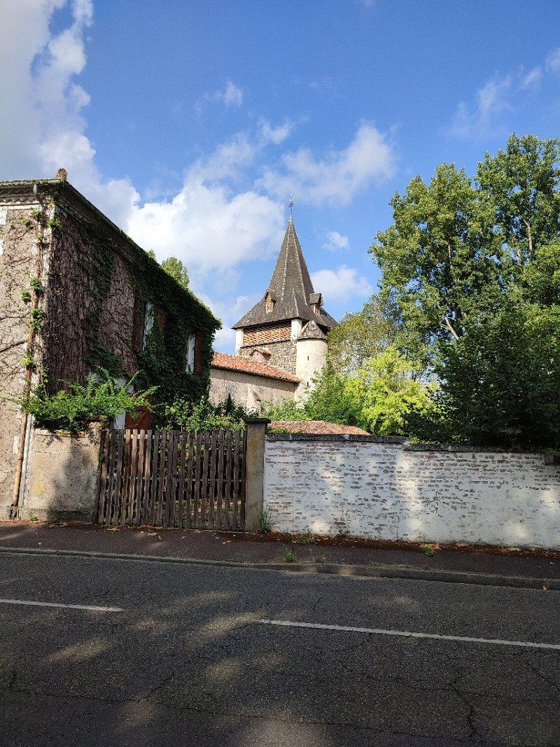
This was supposed to be a chill day and it turned out to be.
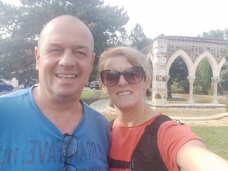
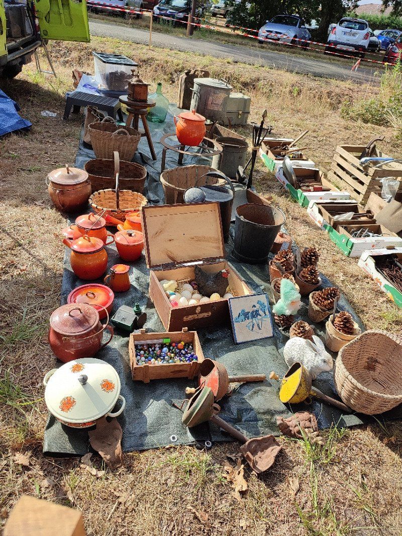
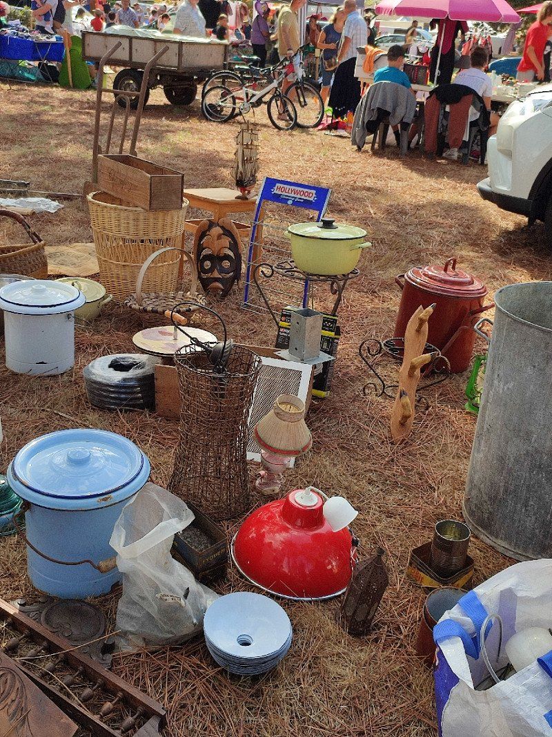
On foot to the village, there was a vide grenier (flea market). There was such a nice atmosphere there and we even got something for the kitchen at home.
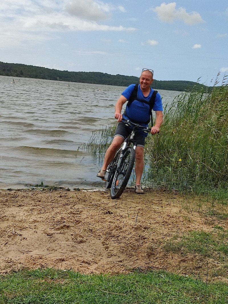
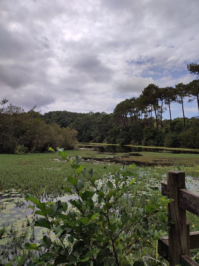
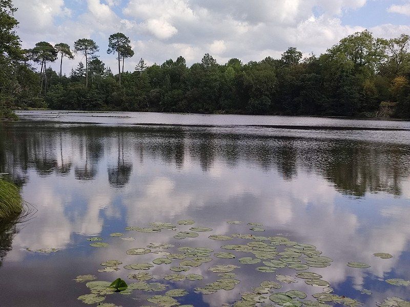
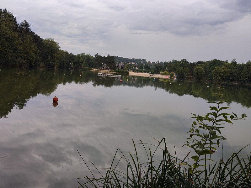
In the afternoon I picked up the bike again and drove to a lake nearby.
But it was really like take it easy....
Day
Dinsdag 16 augustus 2022
Up early, first some practical things before we leave.
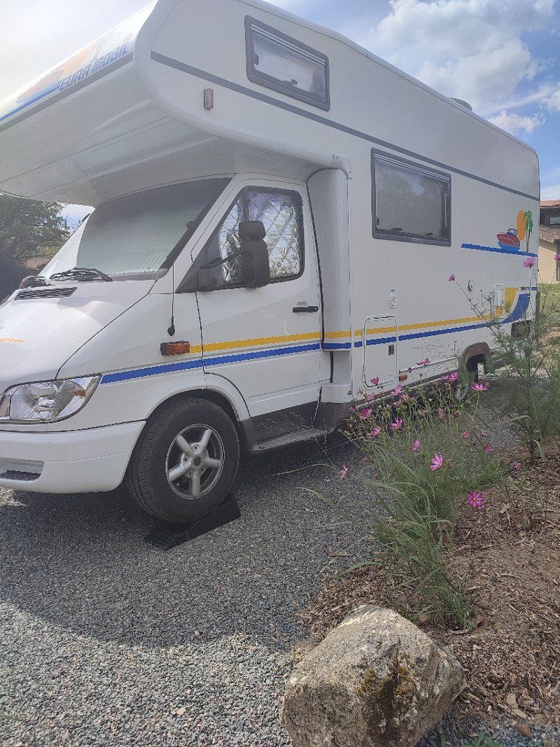
Unloading water and such, should also be done with a camper, huh.
And around 8 am we leave for Spain.
Jaizkibel Hiribidea, Pasaia, Spanje
The intention was to have something to eat there, but for some reason the passage was closed.
So we had to turn around.
We are not very busy people, so we decided to ignore San Sebastian and look for a quiet spot outside it to have a picnic.
Jaizkibel Hiribidea, Gipuzkoa, Spanje
43° 20' 20" N 1° 52' 17.3" W
43.3388863 -1.8714835
• Head toward Carretera Jaizkibel on GI-3440. Go for 2.6 km.
• Continue on GI-3440. Go for 3.2 km.
• Turn left onto Avenida Jaizkibel (GI-3440). Go for 1.2 km.
• Turn slightly right onto Avenida Jaizkibel (GI-3440). Go for 547 m.
• Take the 2nd exit from roundabout onto GI-636. Go for 2.2 km.
• Take the exit onto GI-20. Go for 10.5 km.
• Take exit 13 toward Lasarte-Oria/N-1/Iruña/Pamplona/A-15/Usurbil/N-634/Hernani/GI-2132 onto GI-11. Go for 1.1 km.
• Take exit 1 toward Usurbil. Go for 547 m.
• Take the 1st exit from roundabout onto Barrio Txiki-Erdi (N-634) toward Usurbil. Go for 2.8 km.
• Turn right toward Barrio Kalezar. Go for 32 m.
• Continue on Barrio Kalezar. Go for 40 m.
• Continue on Calle Nagusia. Go for 116 m.
• Turn right onto Calle Nagusia. Go for 34 m.
• Take the 3rd exit from roundabout onto Calle Zubiaurrenea. Go for 164 m.
• Turn left onto Calle Aritzeta. Go for 69 m.
• Enter the roundabout. Go for 61 m.
• Arrive at your destination on the left.
☍
25,2 km
( 26 min.)
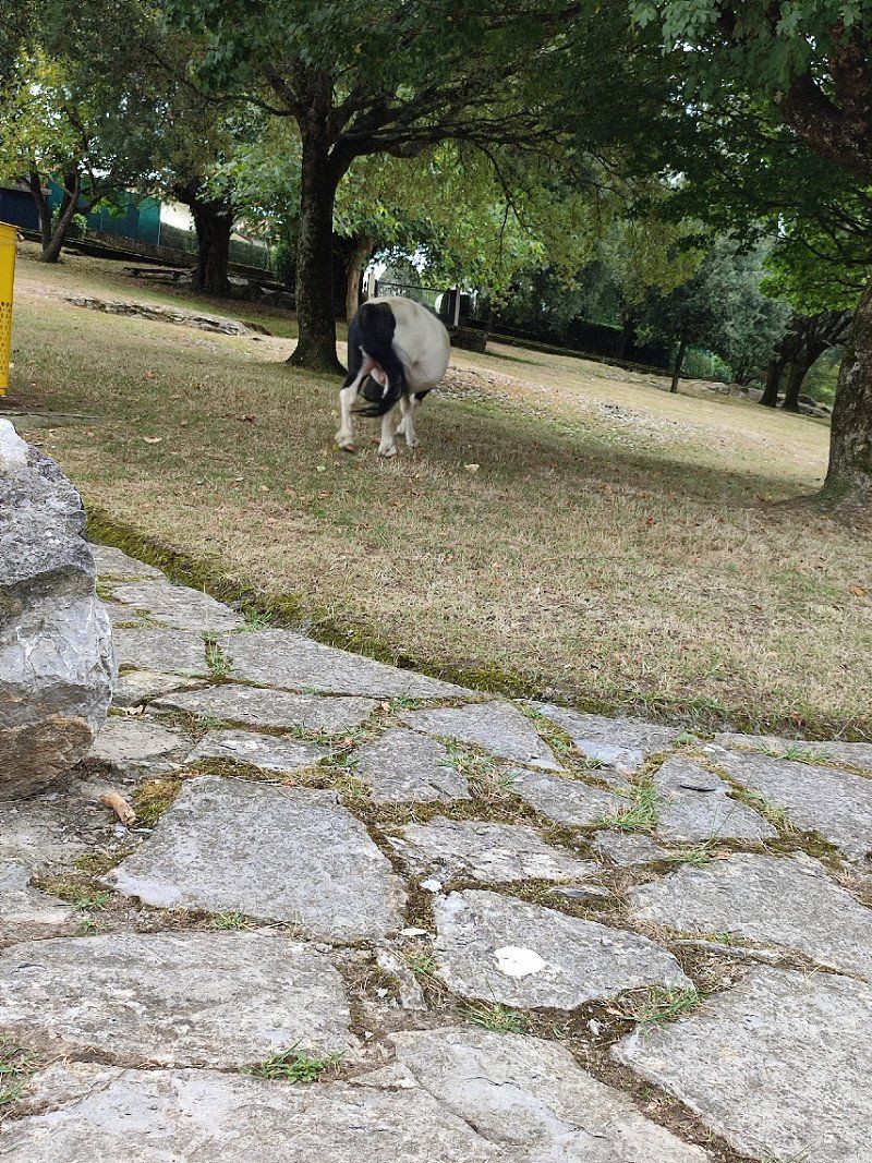
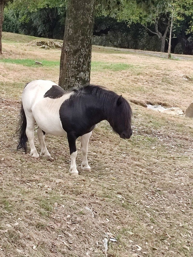
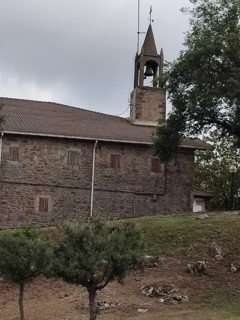
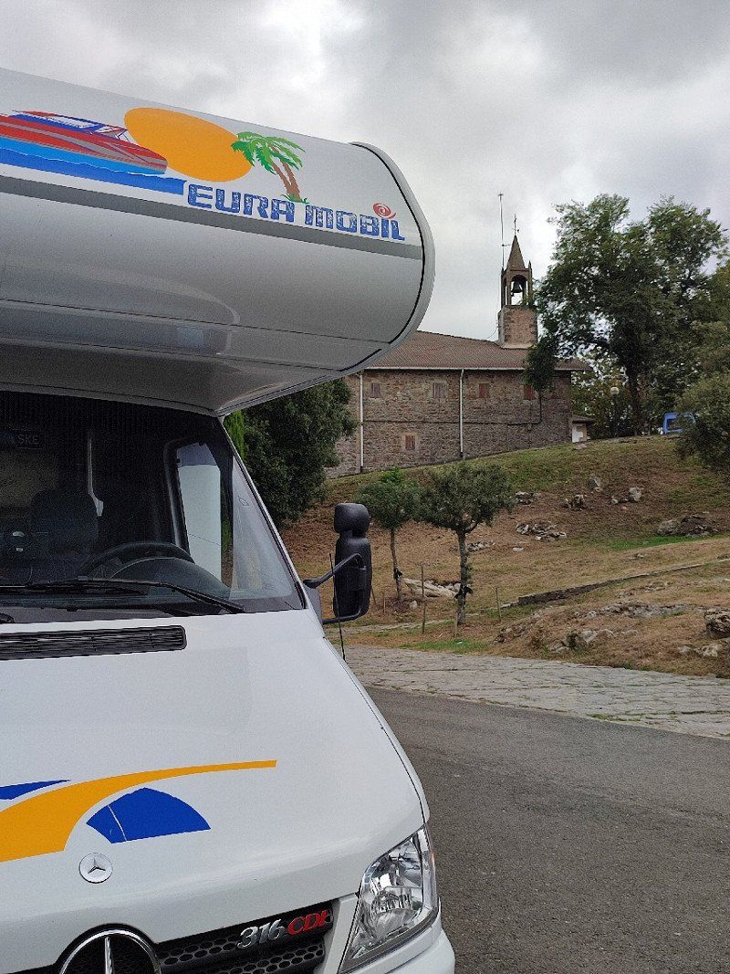
Usurbil, Spanje
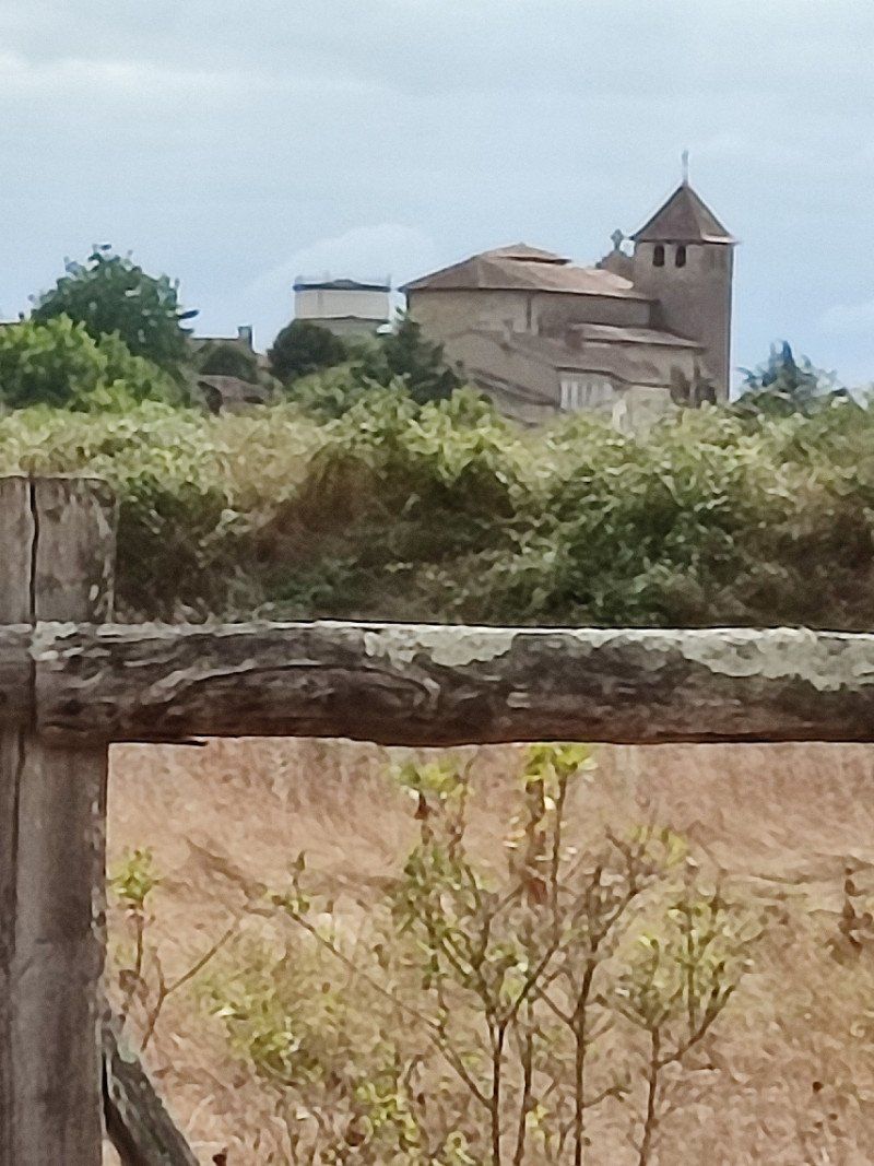
This is a small hamlet, with a church on top of a hill.
Possibility of picnicking, which we did.
We were not alone, no we were joined by the local pony.
20170 Usurbil, Gipuzkoa, Spanje
43° 16' 17.2" N 2° 2' 59.5" W
43.2714405 -2.0498543
• Follow the roundabout. Go for 63 m.
• Take the 4th exit from roundabout onto Calle Gaztañaga Azpi. Go for 147 m.
• Continue on Calle Hiriguneko Etxeak. Go for 104 m.
• Take the 1st exit from roundabout onto Calle Nagusia. Go for 154 m.
• Continue on N-634. Go for 7.9 km.
• Take the 2nd exit from roundabout onto N-634. Go for 1.3 km.
• Turn right onto Calle Aita Lertxundi (N-634) toward Zarautz/Bilbao. Go for 4.0 km.
• Pass 2 roundabouts and continue on Calle de Navarra (N-634). Go for 5.1 km.
• Turn right onto Calle Malkorbe. Go for 315 m.
• Continue on Calle Puerto. Go for 517 m.
• Keep right onto Calle Puerto. Go for 25 m.
• Turn left onto Calle Puerto. Go for 23 m.
• Turn right onto Calle Puerto. Go for 266 m.
• Turn slightly left onto Parque San Antón Udal. Go for 425 m.
• Turn left. Go for 32 m.
• Turn right. Go for 278 m.
• Arrive at your destination on the right.
☍
20,6 km
( 29 min.)
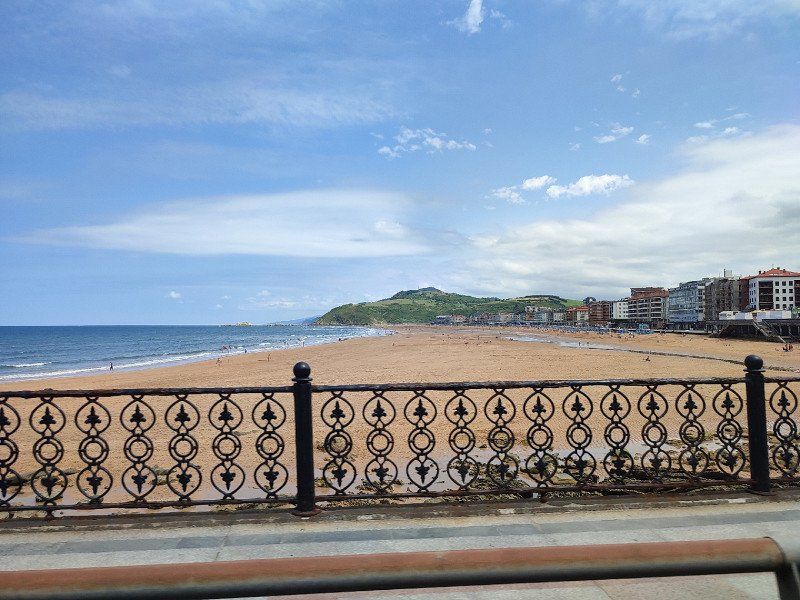
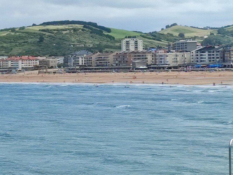
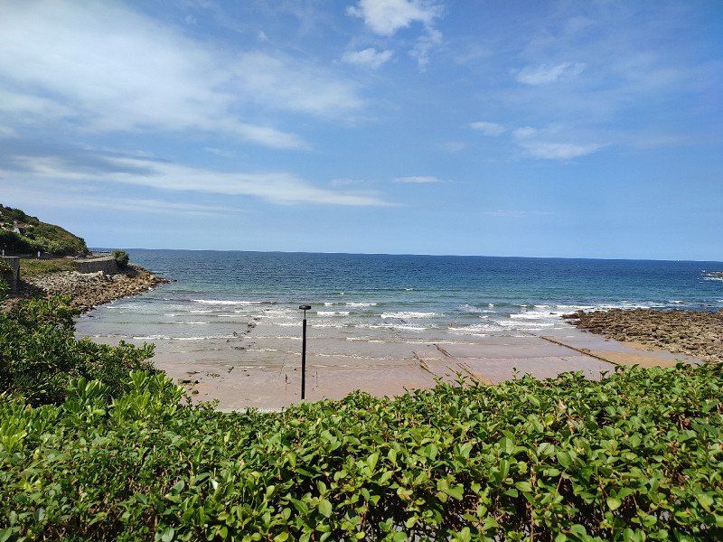
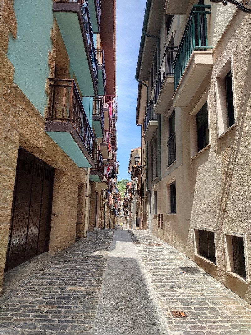
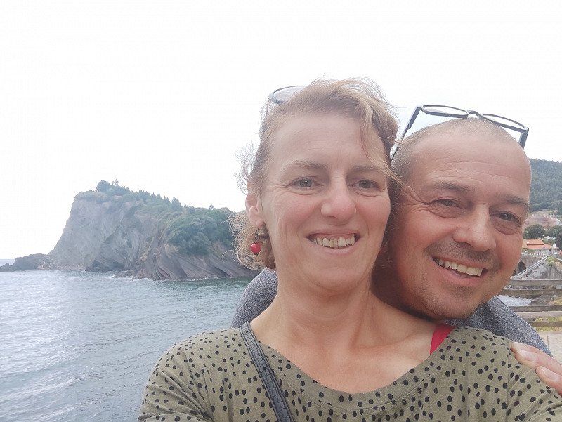
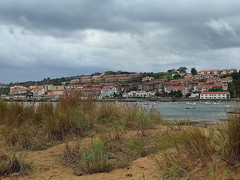
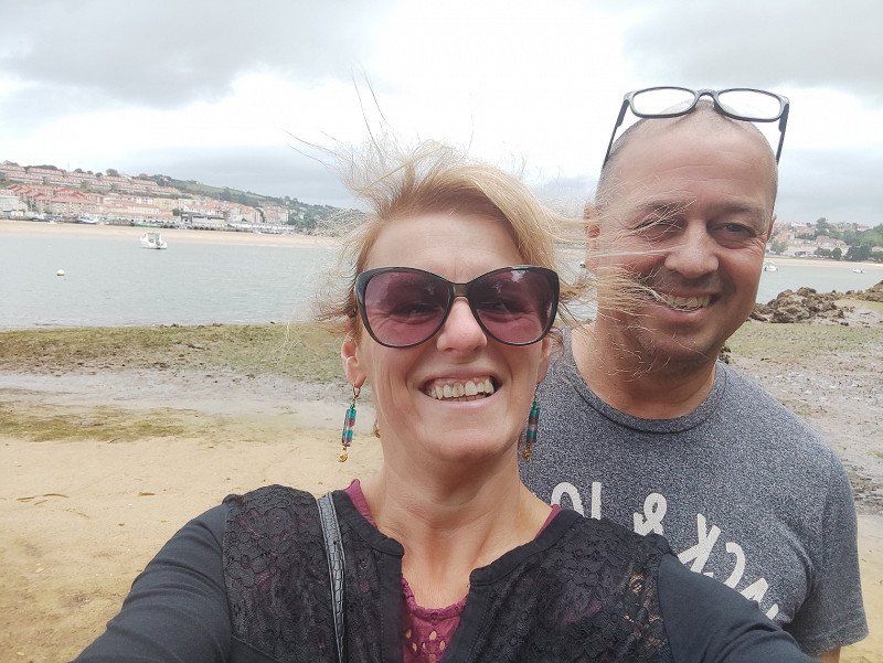
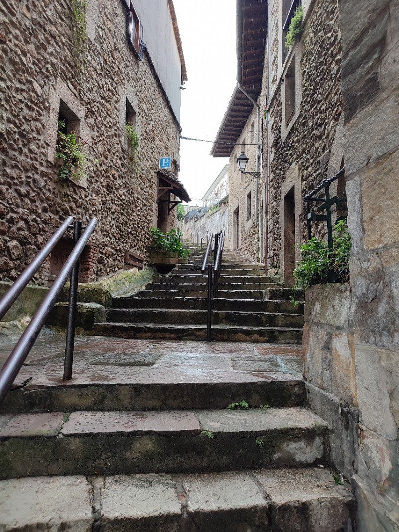
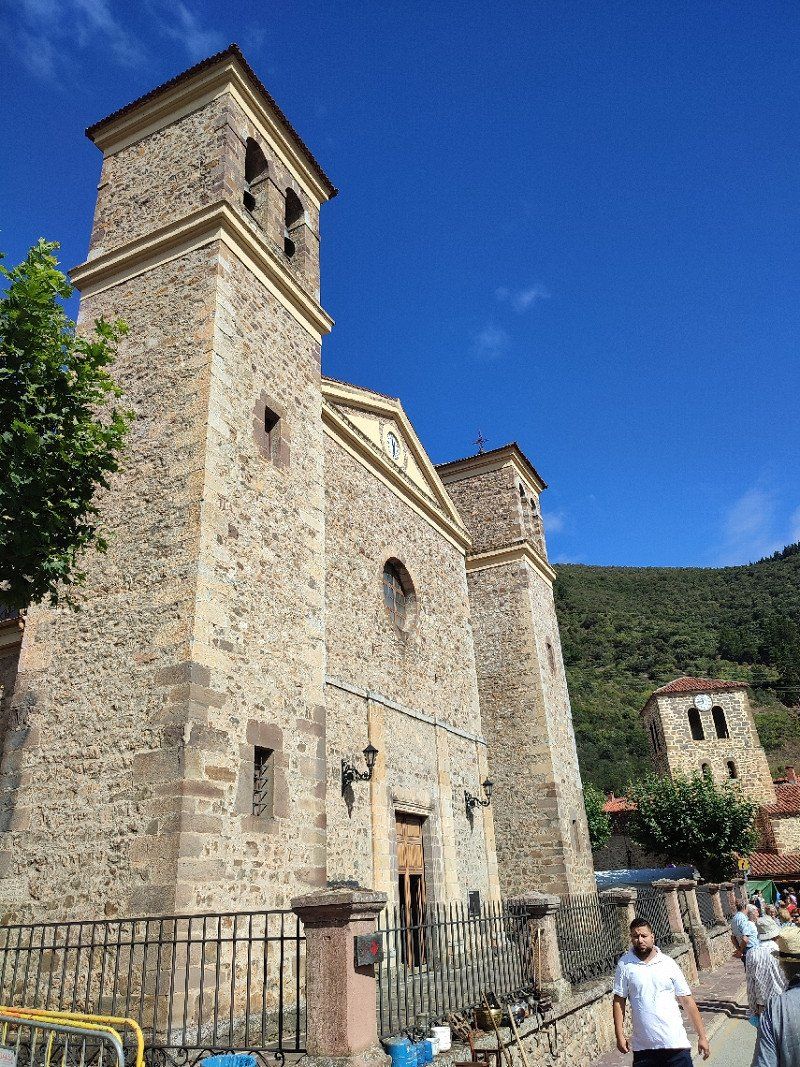
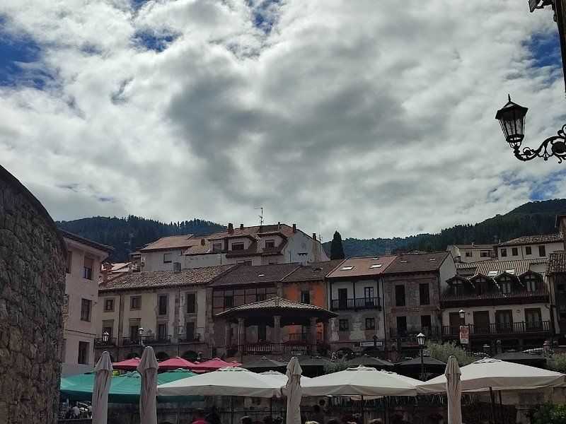
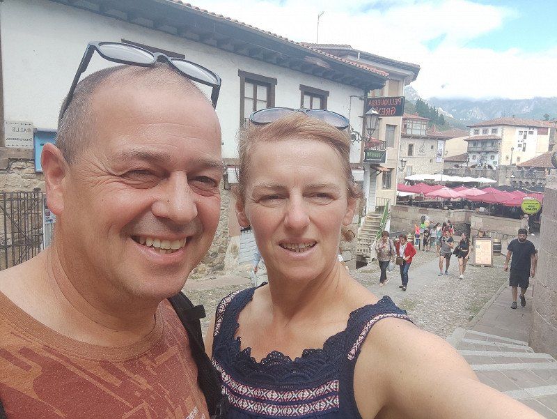
Getaria, Spanje
Around 3 pm we drove through Getaria and we were lucky, there was still a space available in the parking lot for campers.
We had just won a lottery ticket.
Nice sea view, so there was doubt whether we were going to stay there for the evening or not.
We strolled through the town, treated ourselves to an ice cream, wonderful holiday feeling.
I really didn't know what to choose, stay or continue.
But my husband made the decision.
Drive on!!!!
Getaria, Gipuzkoa, Spanje
43° 18' 27.8" N 2° 12' 7.7" W
43.3077339 -2.2021494
• Head north. Go for 278 m.
• Turn left toward Parque San Antón Udal. Go for 32 m.
• Turn right onto Parque San Antón Udal. Go for 425 m.
• Turn slightly right onto Calle Puerto. Go for 266 m.
• Turn right onto Calle Puerto. Go for 767 m.
• Turn right onto San Prudentzio (N-634). Go for 5.0 km.
• Take the 2nd exit from roundabout onto N-634 toward Deba/Bilbao. Go for 1.2 km.
• Take the 1st exit from roundabout onto Barrio Txikierdi (N-634) toward Deba/Bilbao. Go for 289 m.
• Take the 2nd exit from roundabout onto N-634 toward Deba/Bilbao. Go for 1.2 km.
• Take the 2nd exit from roundabout onto Calle Errezola (GI-631). Go for 1.4 km.
• Take the 2nd exit from roundabout onto AP-1/AP-8 (Autopista del Cantábrico) toward Bilbao/Bilbo. Go for 20.9 km.
• Continue on AP-8 (Autopista del Cantábrico) toward Eibar/Bilbao. Go for 34.2 km.
• Take exit 103 toward N-637/Aireportua/Centro Ciudad Bilbao/Barakaldo/Getxo onto BI-30. Go for 9.9 km.
• Take exit 18 toward Aireportua/Mungia onto BI-631. Go for 10.3 km.
• Take exit 19 toward Maruri/Plentzia. Go for 308 m.
• Turn left onto Camino Plentzia (BI-2120). Go for 184 m.
• Pass 4 roundabouts and continue on Barrio Erribera (BI-2120). Go for 7.3 km.
• Take the 1st exit from roundabout onto Barrio Andraka. Go for 938 m.
• Continue on Barrio Urízar (BI-2153). Go for 1.9 km.
• Continue on Barrio Arminza (BI-2153). Go for 1.5 km.
• Take the 2nd exit from roundabout onto Calle Armintxekalde (BI-2153). Go for 144 m.
• Turn left onto Calle Portubidea. Go for 27 m.
• Arrive at Calle Portubidea. Your destination is on the right.
☍
98,4 km
(1 hrs. 13 min.)
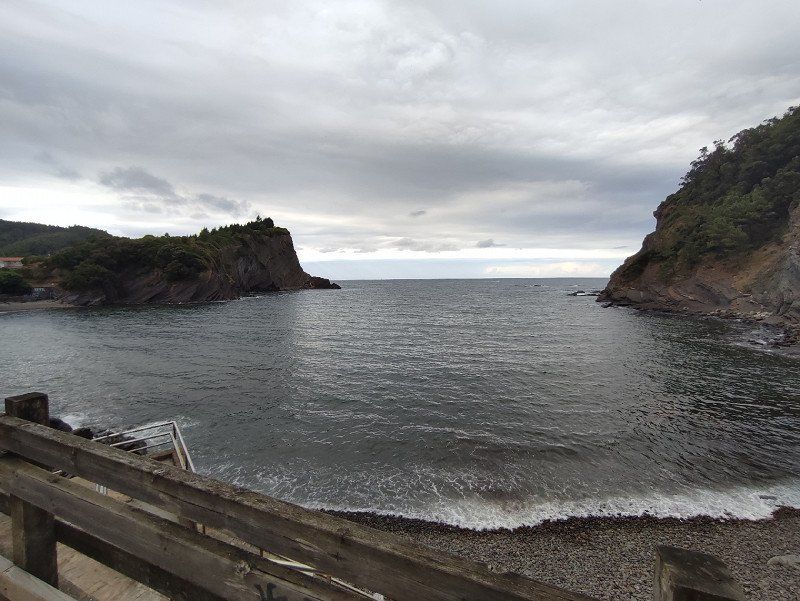
Arminza, Spanje
We arrived here around 6:30 pm.
A place among the surfers, of course why not and a view over the bay. Yes this was it.
We found the place to sleep through Park4night, see the link below:
*https://park4night.com/nl/lieu/155829/day-and-night-parking/lemoiz-17-bi-3151/spain/bizkaia#prettyPhoto
That shouldn't be more....
48620 Armintza, Bizkaia, Spanje
43° 25' 55.6" N 2° 53' 49.2" W
43.4321117 -2.8970015
• Head northwest on Calle Portubidea. Go for 43 m.
• Turn left onto Calle Portugane. Go for 47 m.
• Turn left onto Calle Portugane. Go for 88 m.
• Turn right onto Calle Armintxekalde (BI-2153). Go for 48 m.
• Take the 2nd exit from roundabout onto Barrio Arminza (BI-2153). Go for 1.5 km.
• Continue on Barrio Urízar (BI-2153). Go for 1.9 km.
• Continue on Barrio Andraka (BI-2153). Go for 902 m.
• Take the 3rd exit from roundabout onto Barrio Andraka (BI-2120). Go for 3.4 km.
• Pass 3 roundabouts and continue on Barrio Erdigune (BI-2120). Go for 3.9 km.
• Take the 2nd exit from roundabout onto BI-631 toward Bilbo/Bilbao/Zabalondo. Go for 9.7 km.
• Take exit 9 toward N-637/E-70/A-8/Bilbo Hiri-Erdialdea/Centro Ciudad Bilbao/Vitoria-Gasteiz/Santander onto BI-30. Go for 9.7 km.
• Take the exit toward Sestao/Portua/Santander onto A-8 (Autovía del Cantábrico). Go for 77.4 km.
• Take exit 199 toward Torrelavega/Oviedo onto A-8 (Autovía del Cantábrico). Go for 64.2 km.
• Take exit 264 toward San Vicente de la Barquera/La Acebosa. Go for 330 m.
• Take the 1st exit from roundabout toward San Vicente de la Barquera. Go for 66 m.
• Continue on CA-843. Go for 1.6 km.
• Enter the roundabout. Go for 39 m.
• Arrive at your destination on the left.
☍
175,0 km
(1 hrs. 45 min.)
Day
Woensdag 17 augustus 2022
We were woken up to the sound of the sea in the background.
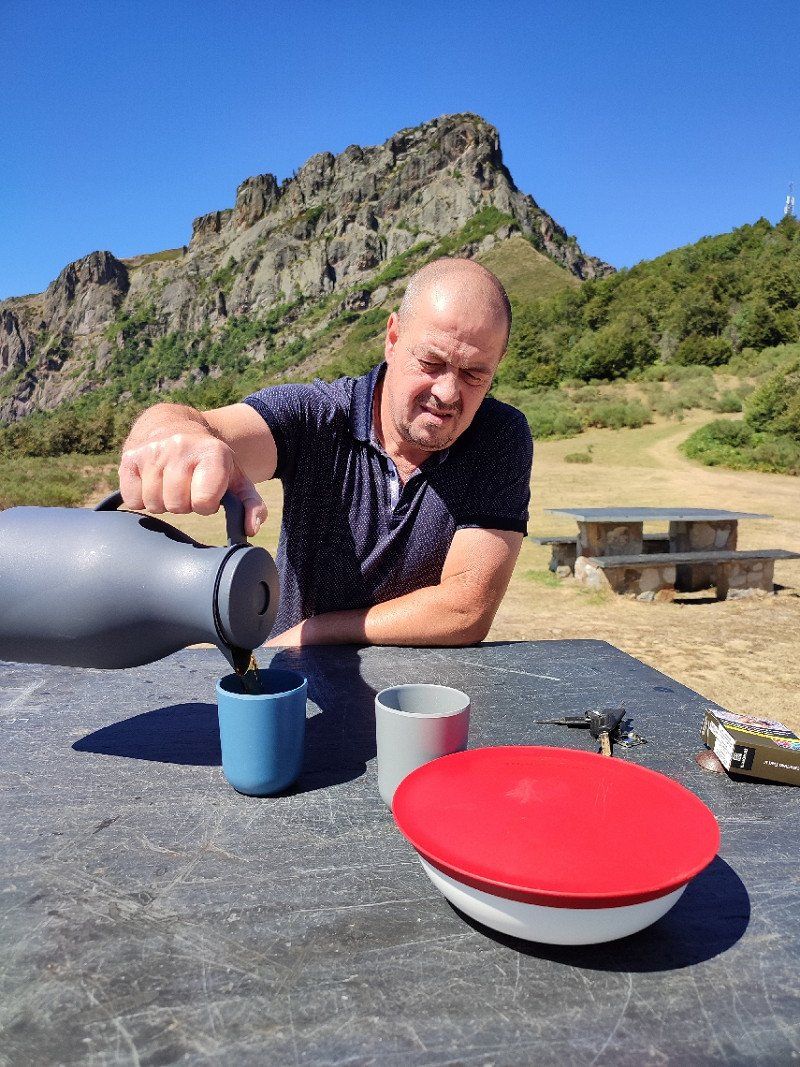
Such a wonderful feeling to get up, then a cup of fresh coffee and the day could start.
Around 09:20 am we turn on, towards San Vicente de la Barquera.
This little town was definitely on our list of what we wanted to see.
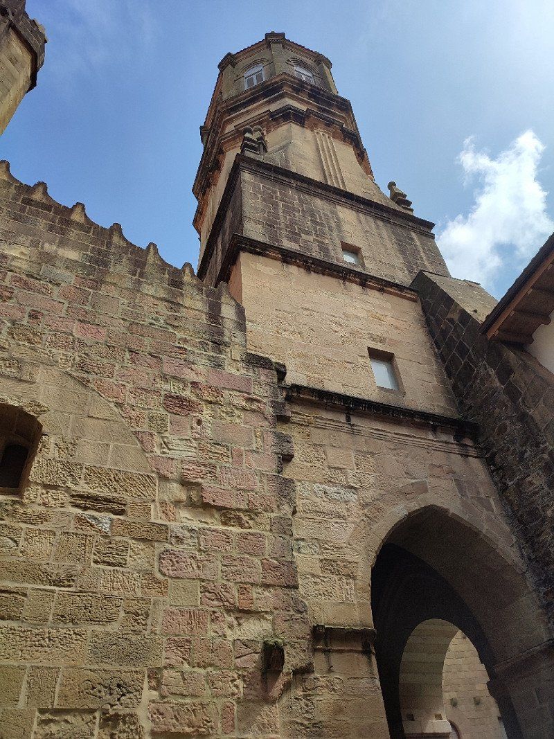
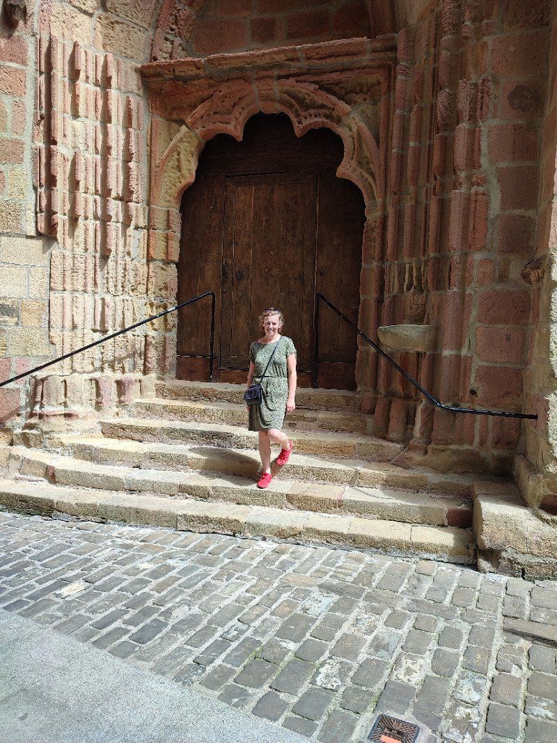
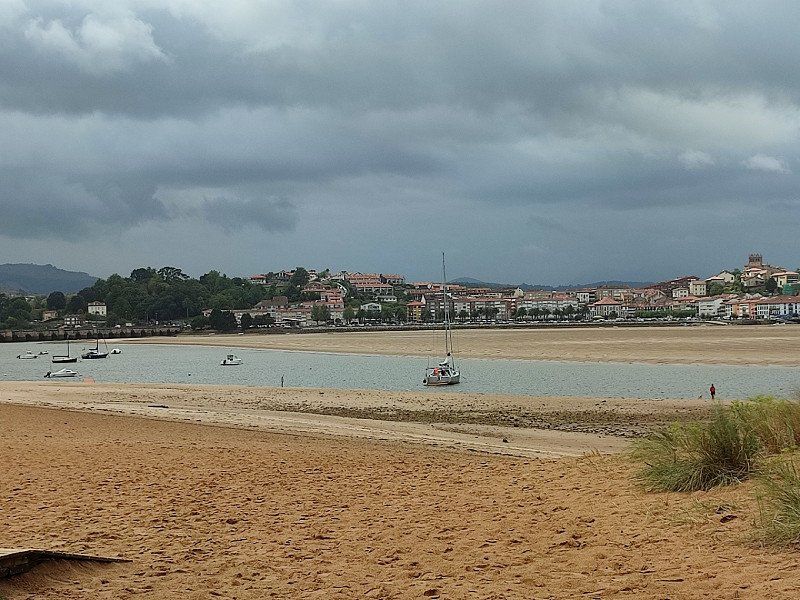
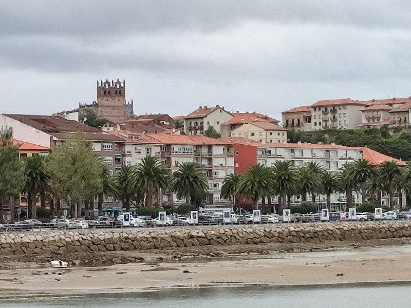
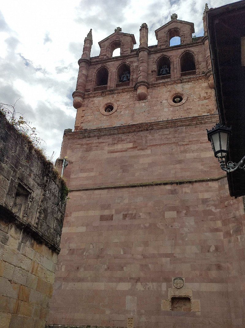
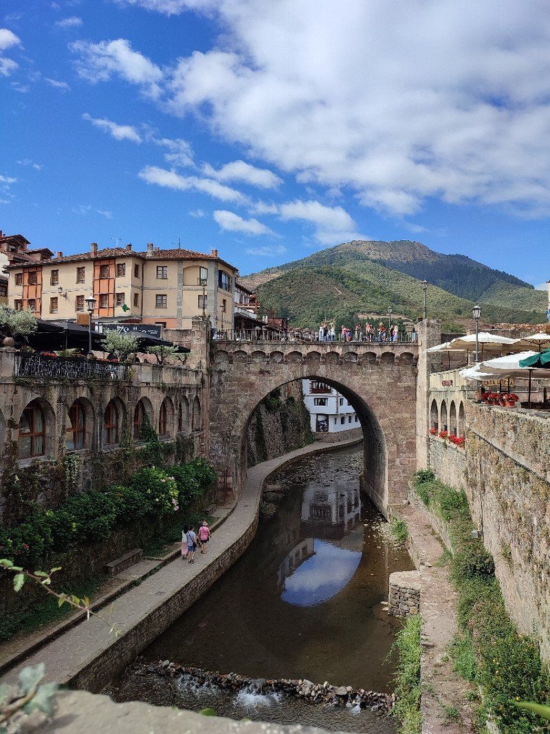
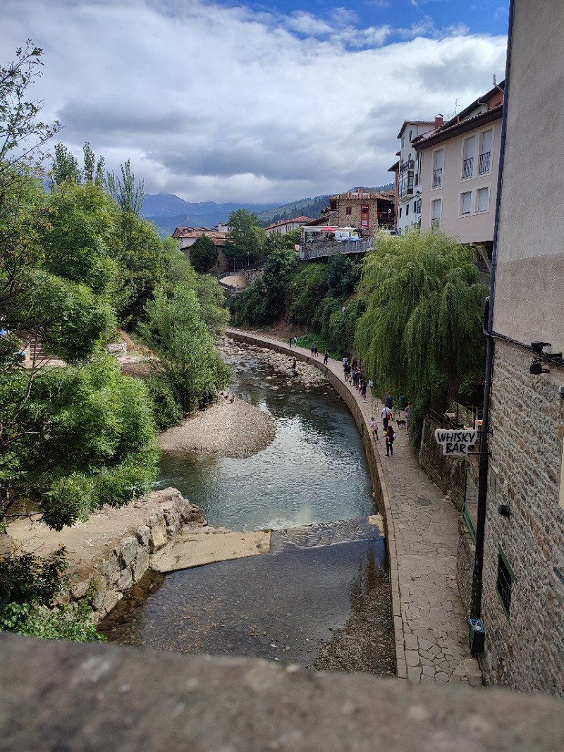
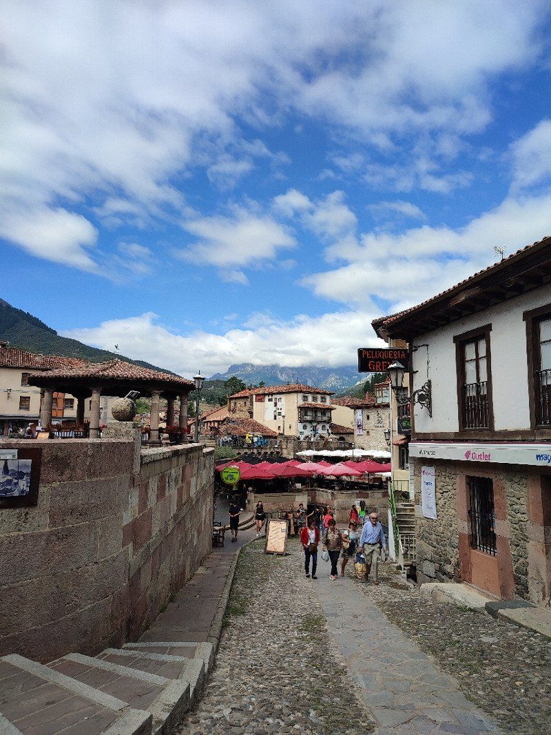
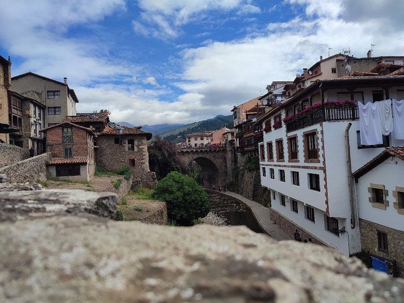
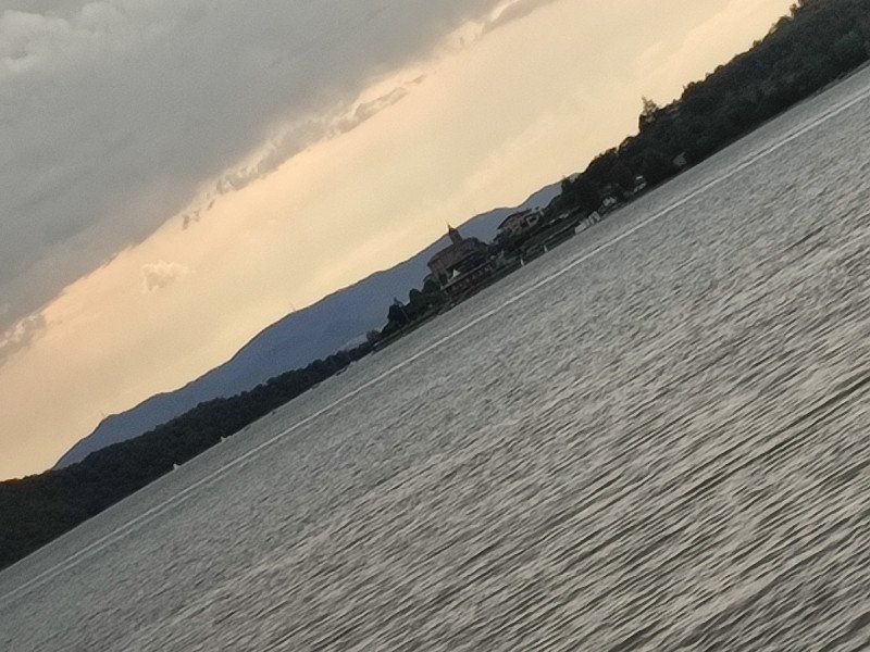
San Vicente de la Barquera, Spanje
In the late afternoon we arrived and we decided to see if there was room at the motorhome of camping El Rosal.
See link below :
*https://park4night.com/en/lieu/198655/pay-pitch-for-camper/san-vicente-de-la-barquera-14-avenida-francisco-giner-de-los-r%C3%ADos /spain/cantabria#.YxCyTHZBxEY
We were lucky, got a spot and we made a reservation at the restaurant and then went into town.
Between the rain showers, but in itself that didn't bother us.
What a wonderful day .... and this was then concluded in the restaurant of the campsite where the food was very tasty and then an evening walk for dessert.
39540 San Vicente de la Barquera, Cantabria, Spanje
43° 22' 52.7" N 4° 23' 49.4" W
43.3813069 -4.3970580
• Follow the roundabout. Go for 56 m.
• Take the 3rd exit from roundabout onto CA-843. Go for 1.6 km.
• Continue toward CA-847. Go for 47 m.
• Take the 1st exit from roundabout onto A-8 (Autovía del Cantábrico) toward Unquera/Oviedo. Go for 8.5 km.
• Take exit 272 toward N-621/Unquera/Panes/Potes/Parque Nacional Picos de Europa. Go for 330 m.
• Take the 4th exit from roundabout toward E-70/A-8/Santander/N-621/Unquera/Panes/Potes. Go for 159 m.
• Continue toward Unquera/Panes/Potes/Parque Nacional Picos de Europa. Go for 27 m.
• Take the 2nd exit from roundabout onto N-621 toward Unquera/Panes/Potes. Go for 881 m.
• Take the 1st exit from roundabout onto Paseo Juncal (N-621). Go for 10.4 km.
• Turn right onto AS-114. Go for 21.7 km.
• Turn left toward AS-264. Go for 52 m.
• Turn left onto AS-264. Go for 16 m.
• Turn right onto AS-264. Go for 648 m.
• Turn left onto AS-264. Go for 553 m.
• Continue on AS-264. Go for 4.3 km.
• Continue on Alameda Camarmeña (AS-264). Go for 500 m.
• Turn left onto AS-264. Go for 52 m.
• Arrive at AS-264. Your destination is on the left.
☍
49,8 km
( 53 min.)
Day
donderdag 18 augustus 2022
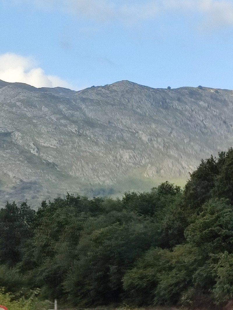
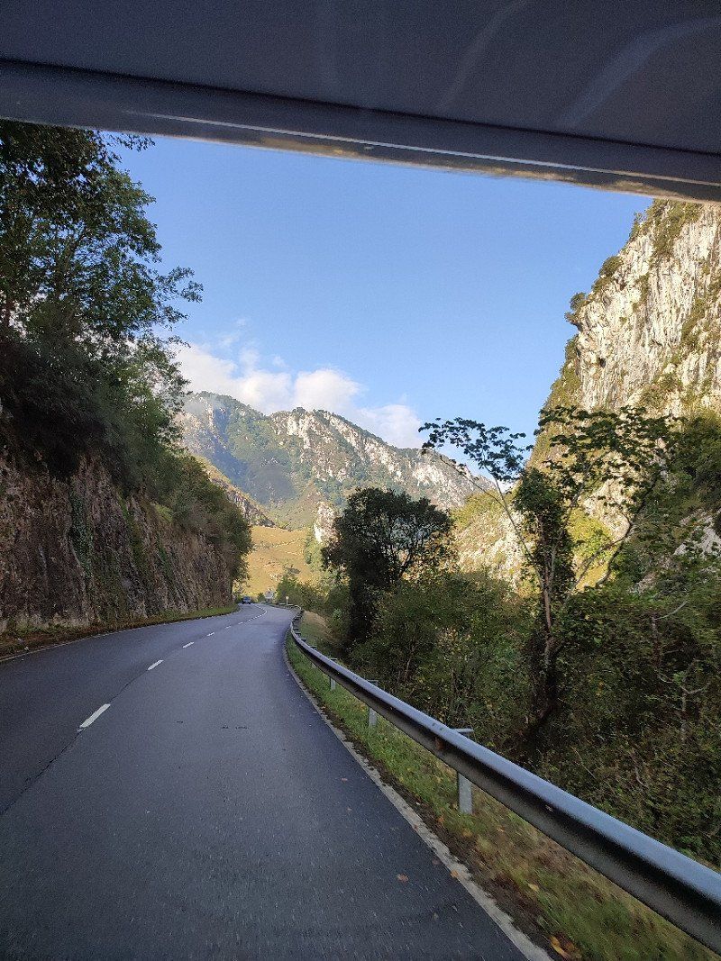
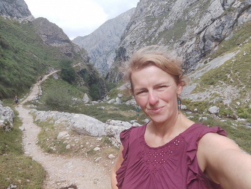
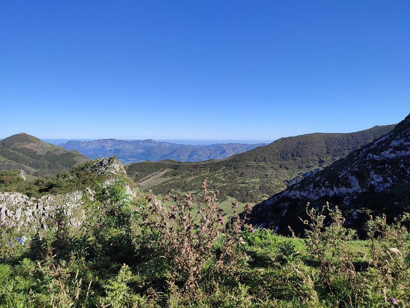
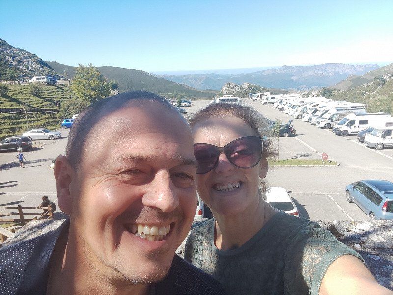
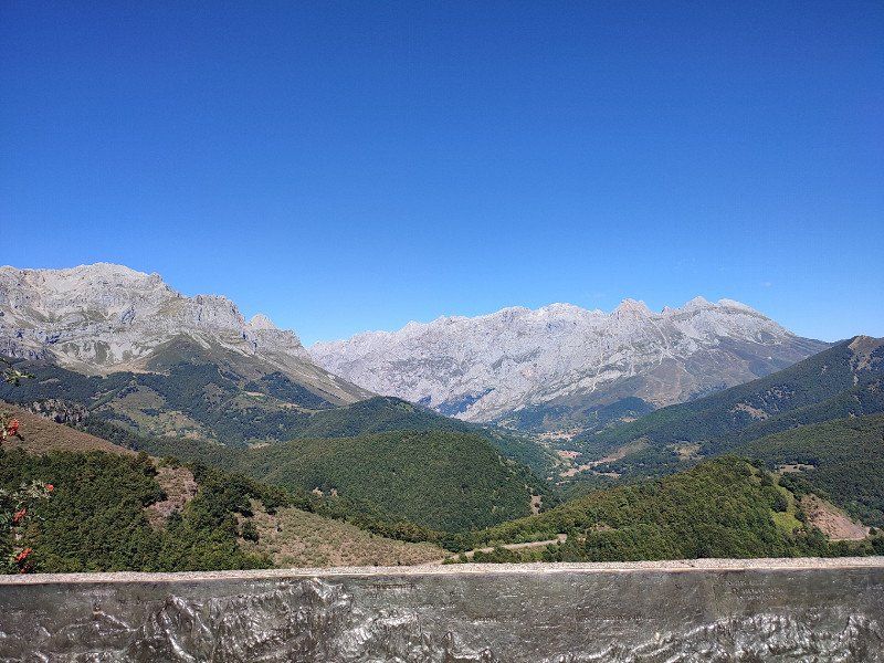
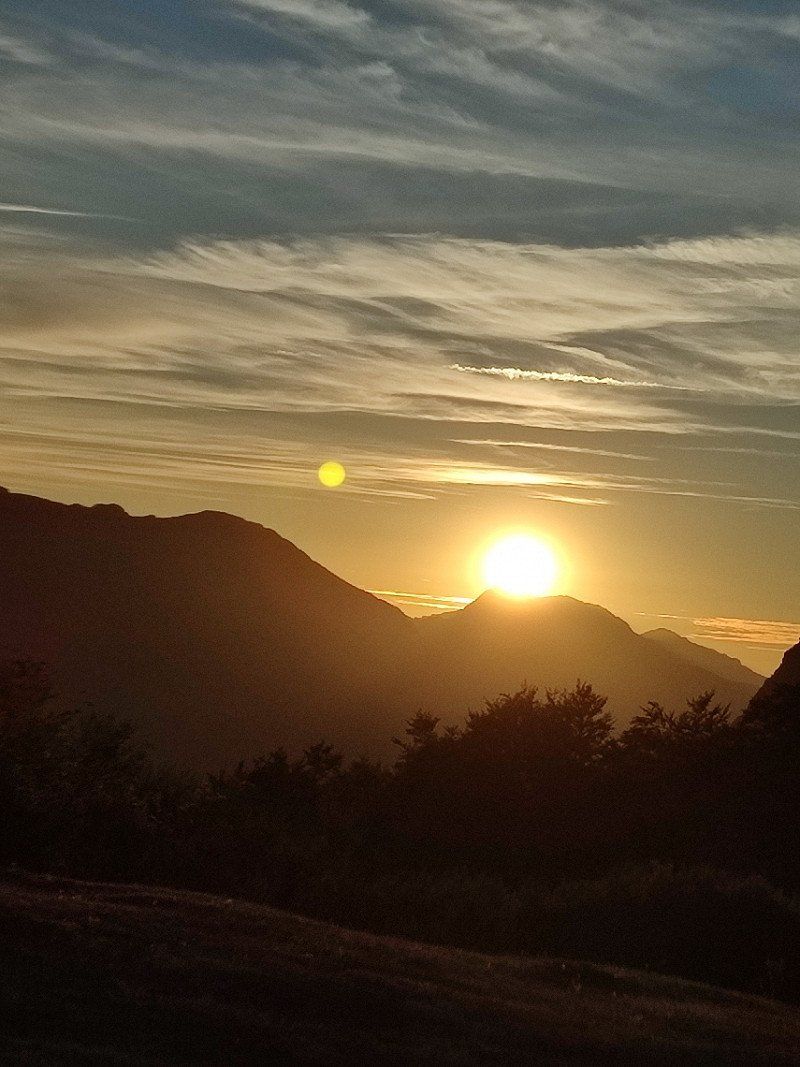
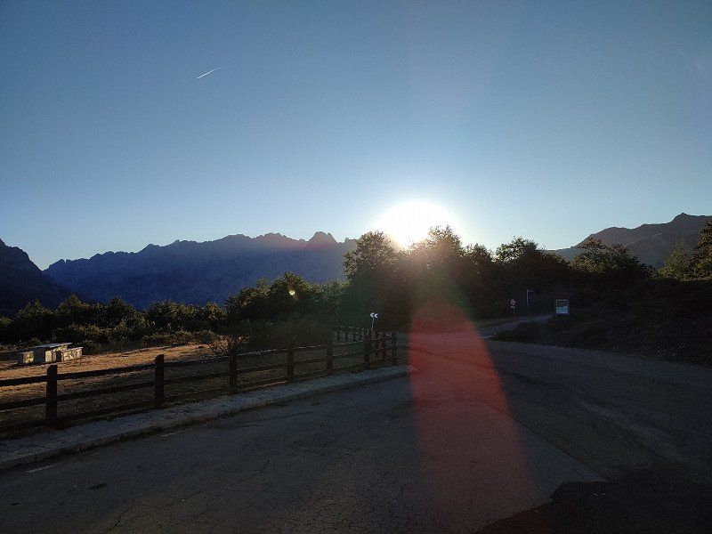
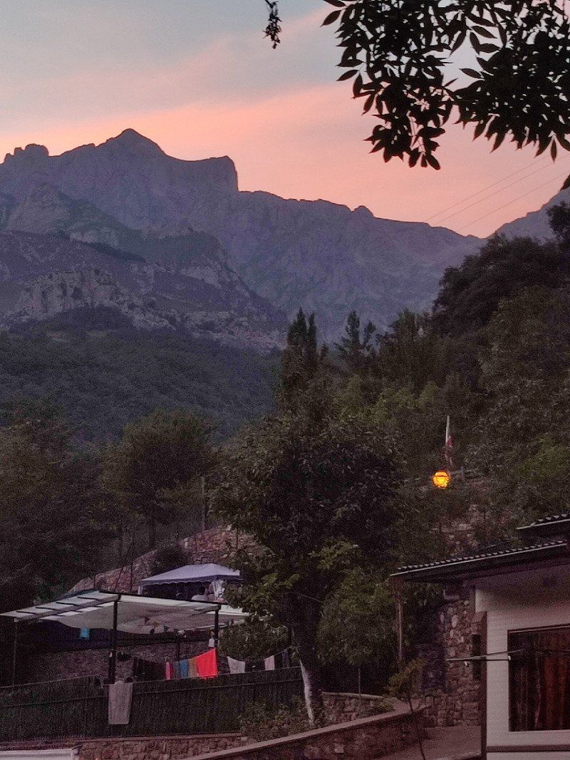
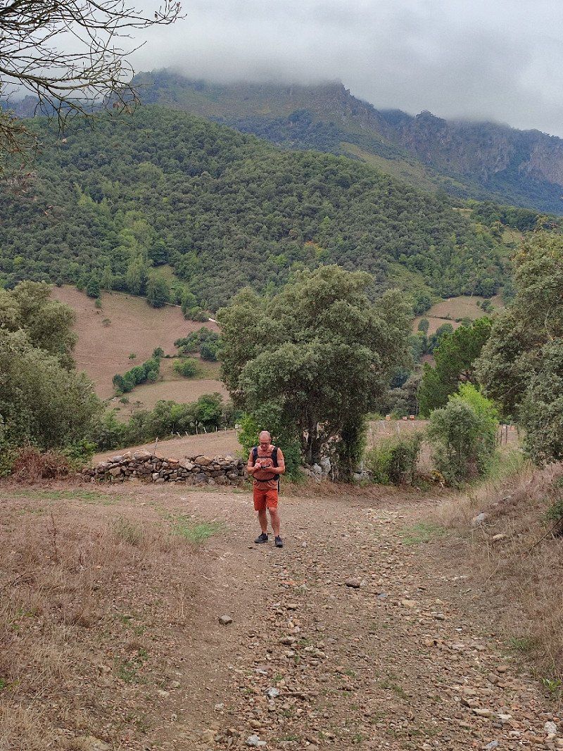
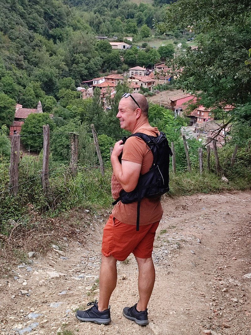
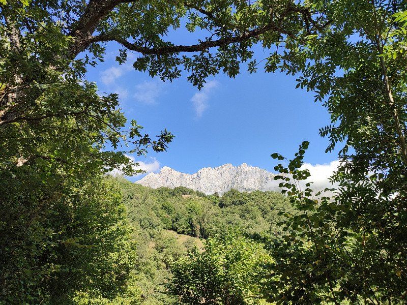
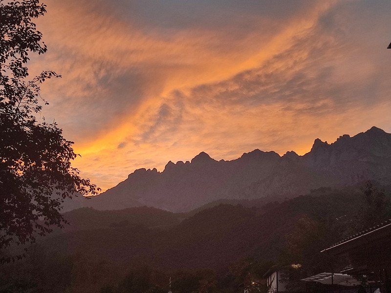
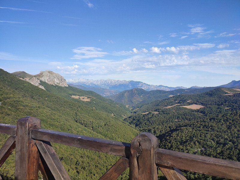
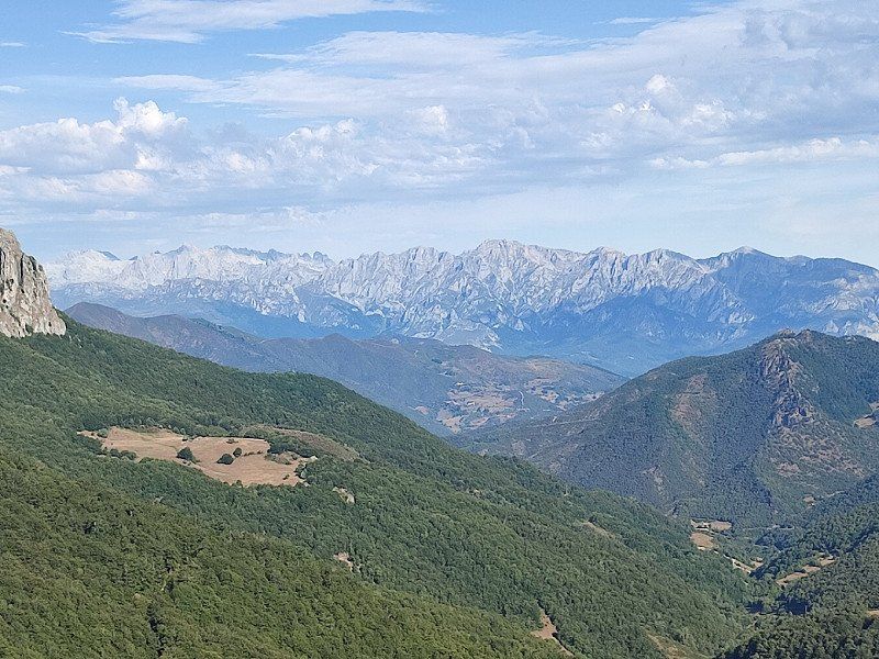
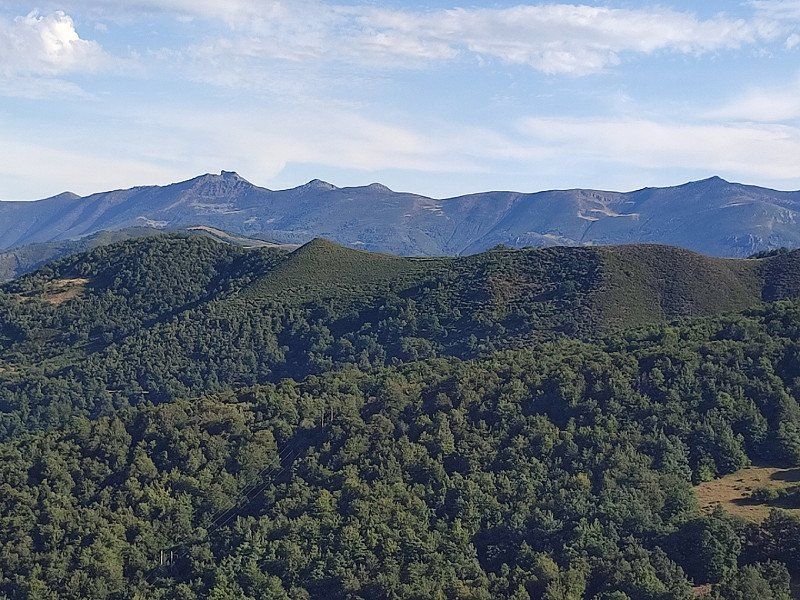
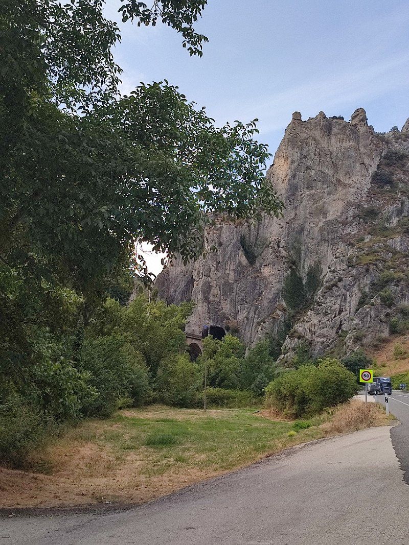
Around 9am we left the coast to head into the mountains. We wanted to do the Los Picos de Europa Mountains.
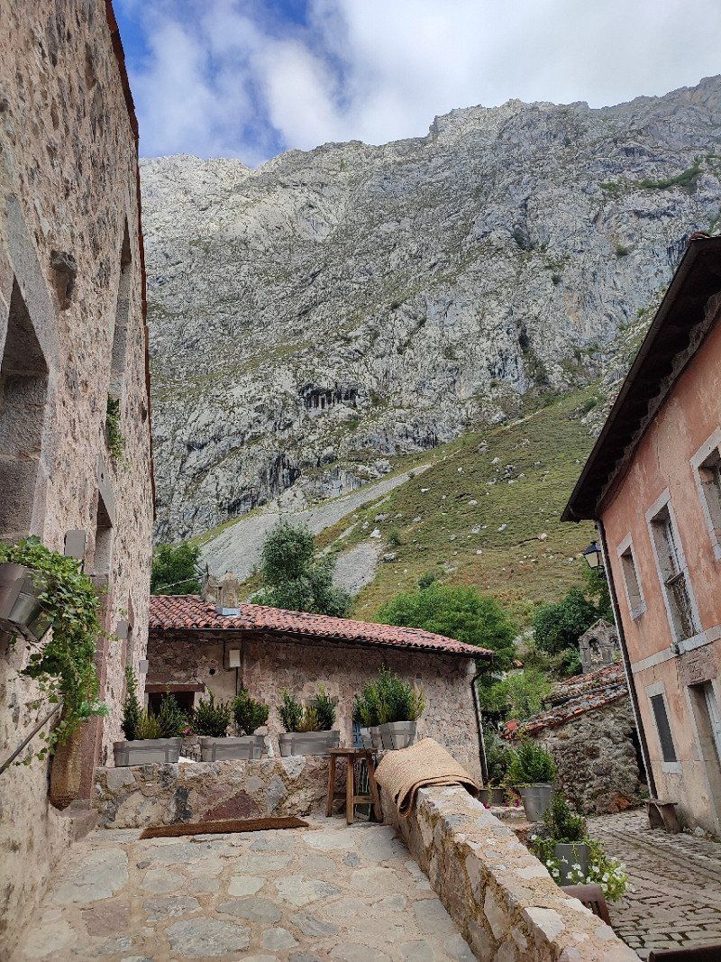
Totally unknown, but no less beautiful, on the contrary.
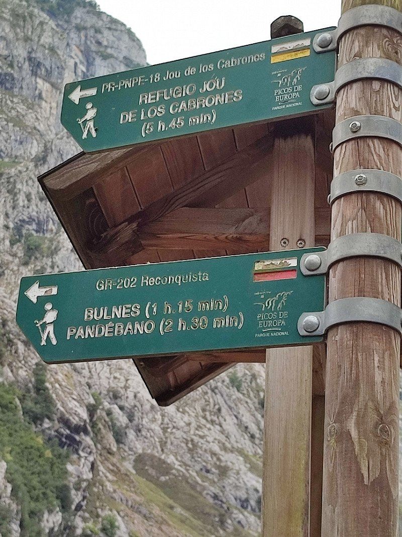
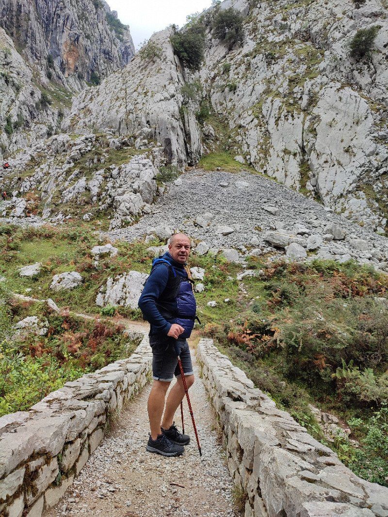
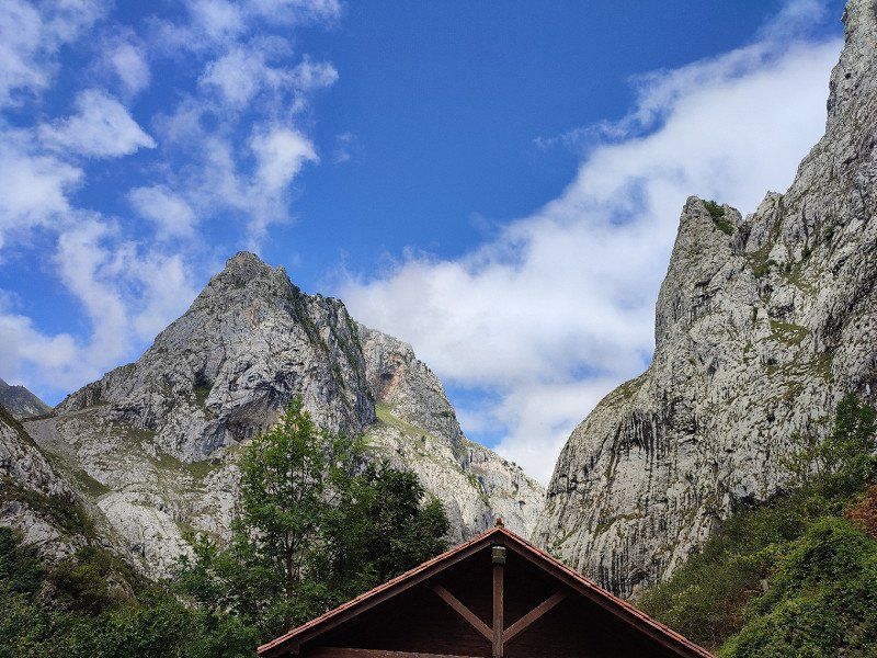
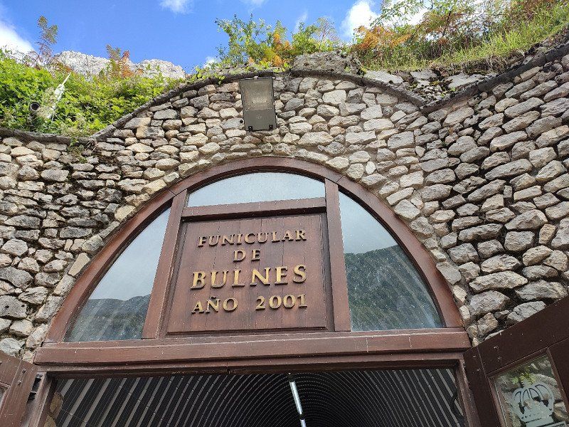
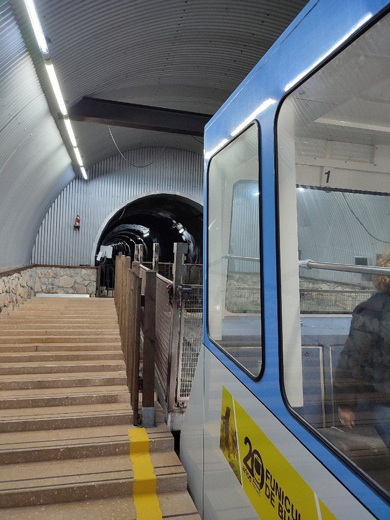
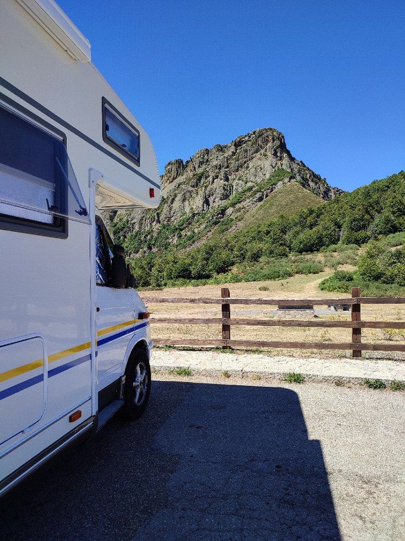
So we drove to Poncebos.
[CAMARMEÑA] Funicular Poncebos [CTA 10386], Spanje
We parked about 4 km before the funicular from Poncebos.
Here we could easily lose our Wrakse.
Parking found through Park4Night, see link below :
*https://park4night.com/nl/lieu/100473/day-and-night-parking/as-264/spain/asturias#.YxCz9nZBxEY
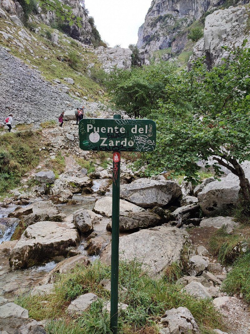
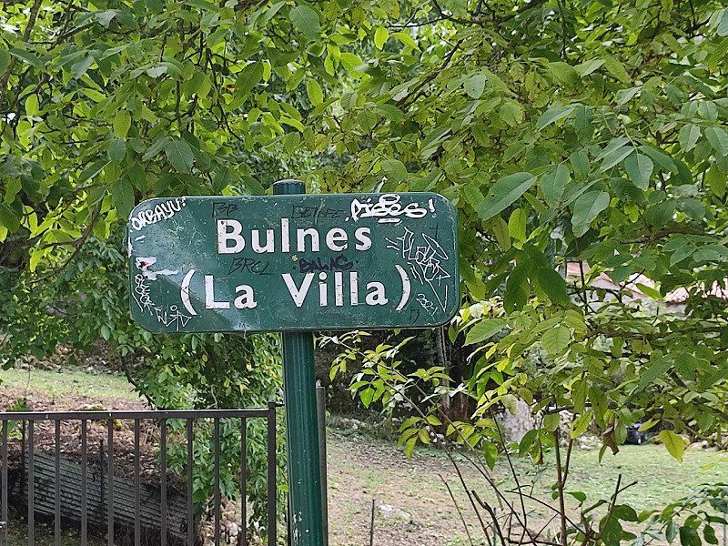
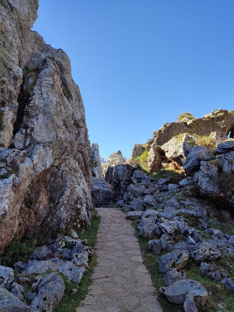
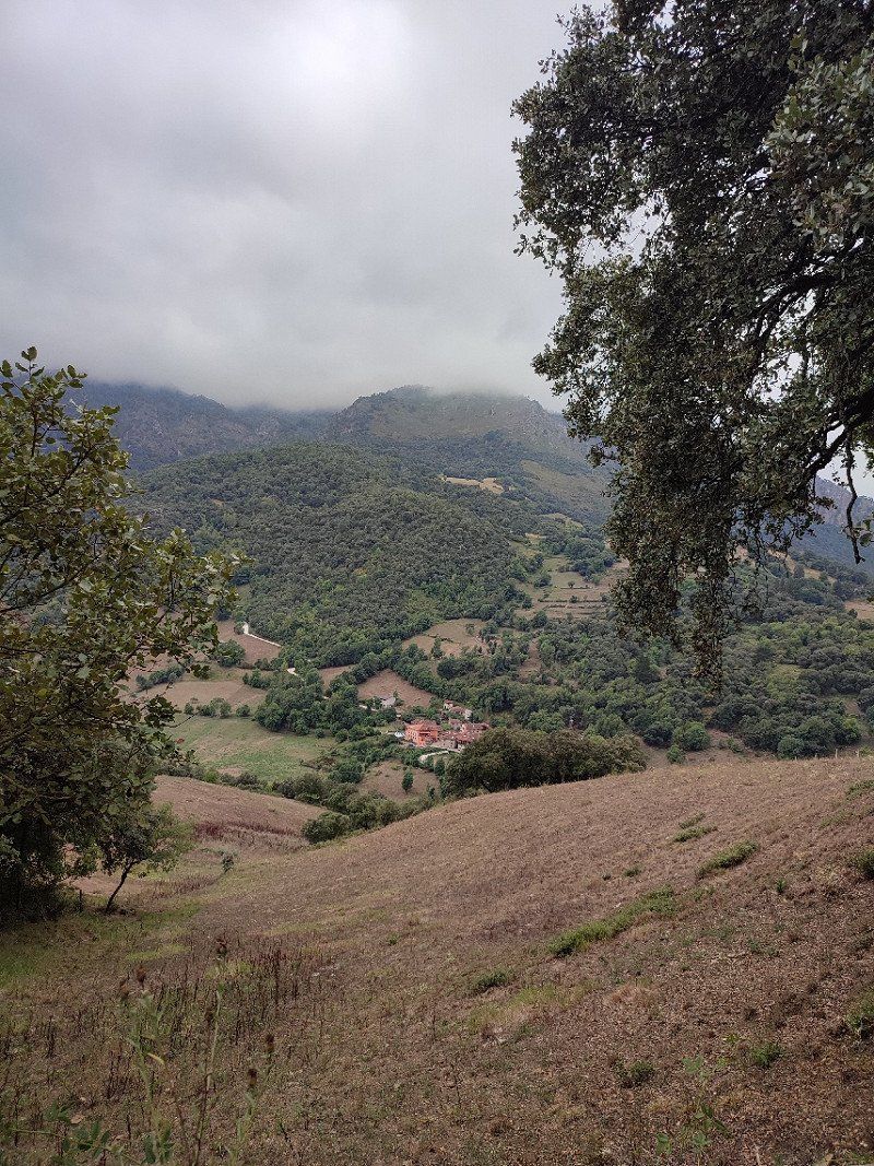
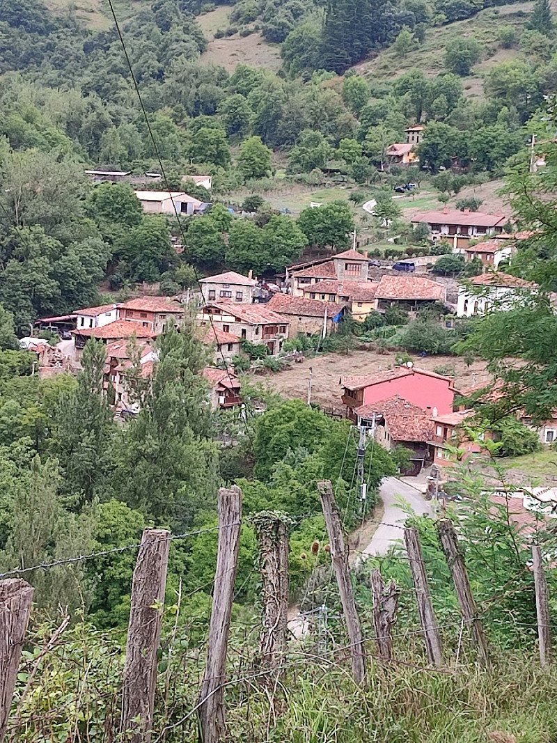
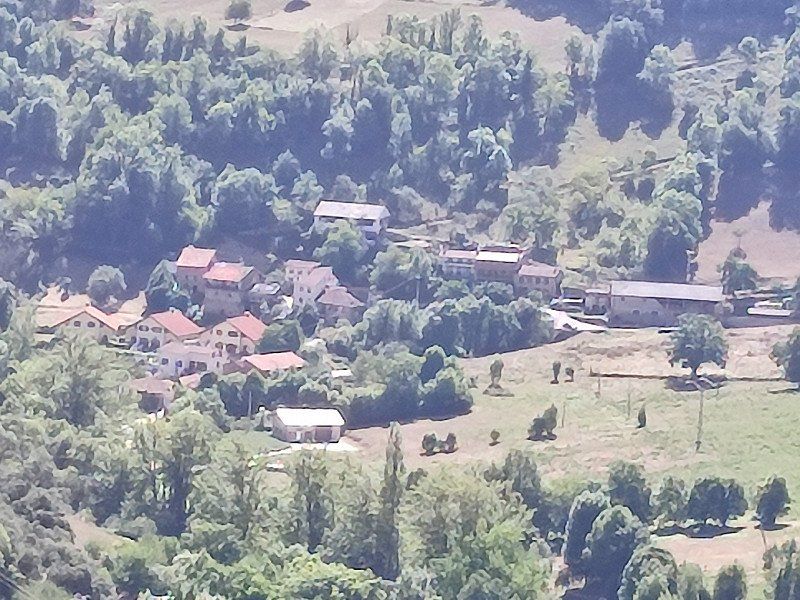
And so we decided to walk the road to Bulnes.
Bulnes can only be reached in this way or by funicular (underground cable car).
Then we came right back down.
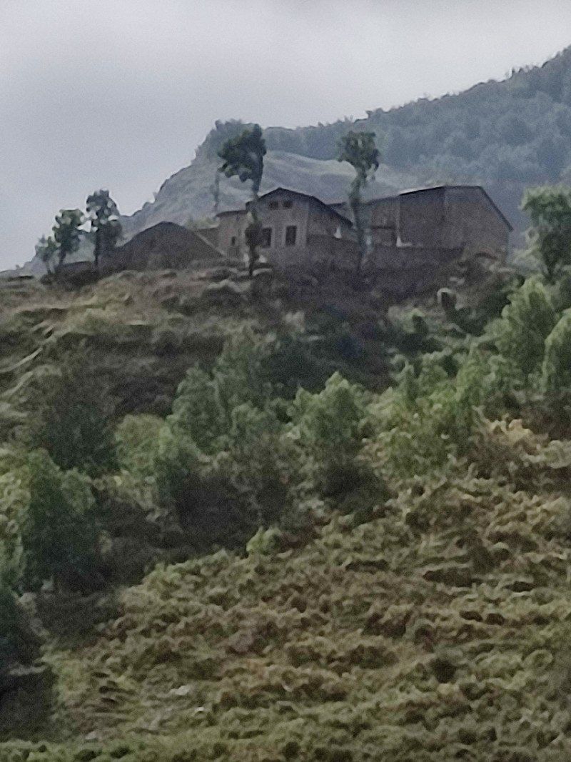
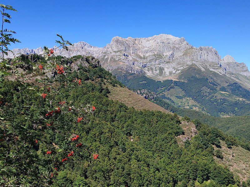
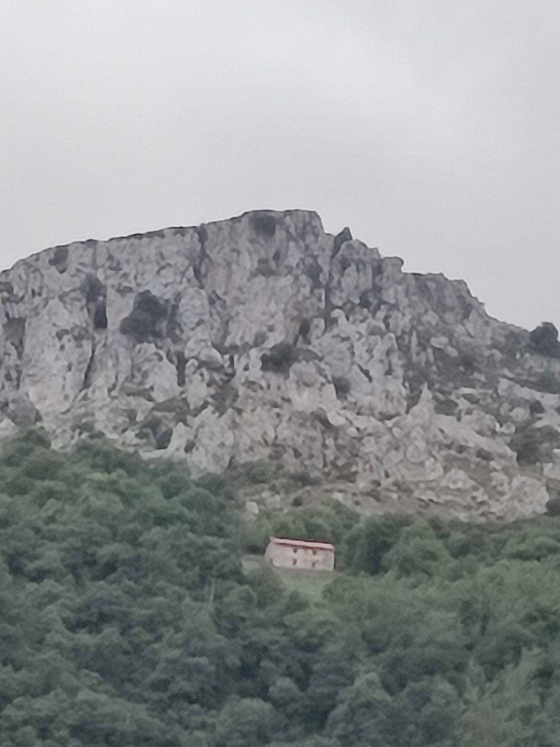
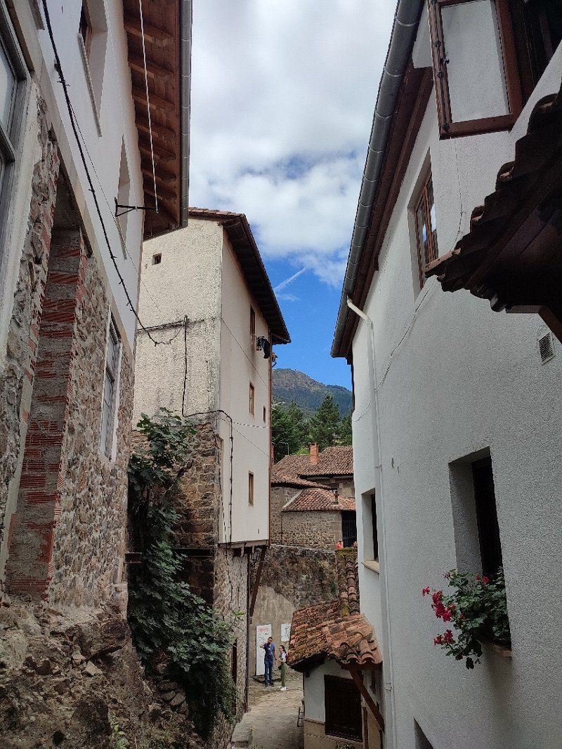
Bulnes is a great place to stay, beautiful village, good food, beautiful views.
The walk to it is the max, a bit via Ruta del Cares.
Great day, our hearts were filled again.
33554, Asturias, Spanje
43° 15' 29.3" N 4° 49' 49.2" W
43.2581412 -4.8303288
• Head toward Poncebos on AS-264. Go for 52 m.
• Turn right onto Alameda Camarmeña (AS-264). Go for 500 m.
• Continue on AS-264. Go for 4.3 km.
• Turn left onto AS-264. Go for 603 m.
• Turn slightly left onto Barrio Moradiellos (AS-264). Go for 683 m.
• Turn sharp left onto AS-114. Go for 11.0 km.
• Take the 2nd exit from roundabout onto AS-114. Go for 15.6 km.
• Take the 4th exit from roundabout onto AS-262. Go for 175 m.
• Continue on AS-262. Go for 4.9 km.
• Take the 1st exit from roundabout. Go for 54 m.
• Arrive at your destination on the right.
☍
37,9 km
( 51 min.)
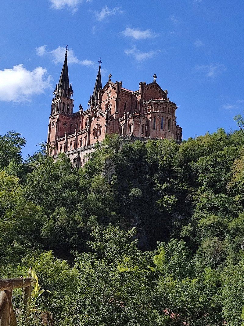
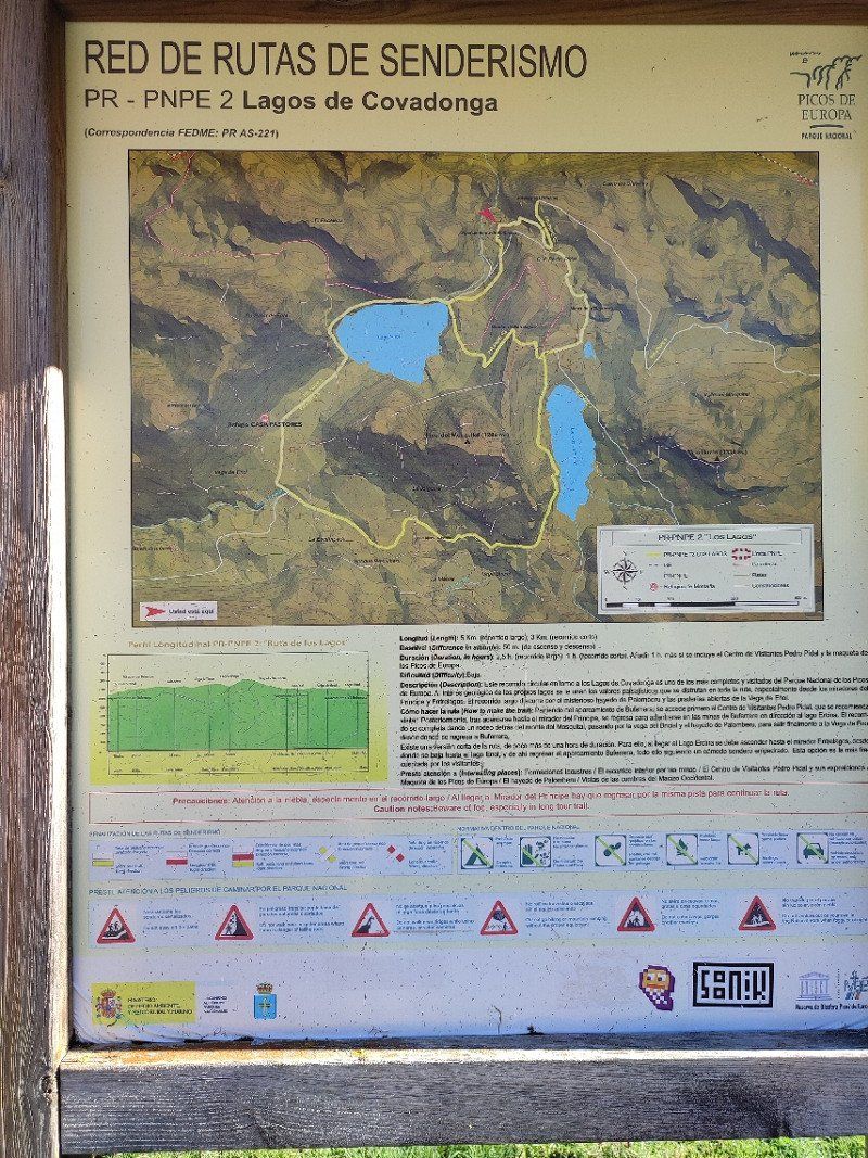
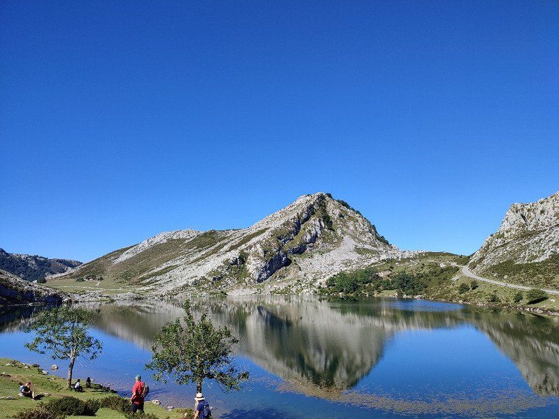
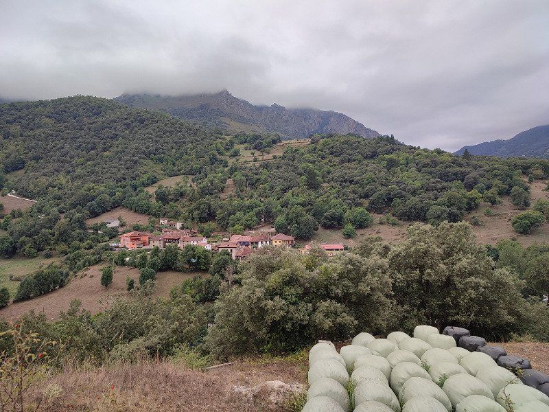
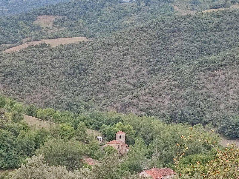
Cangas de Onis
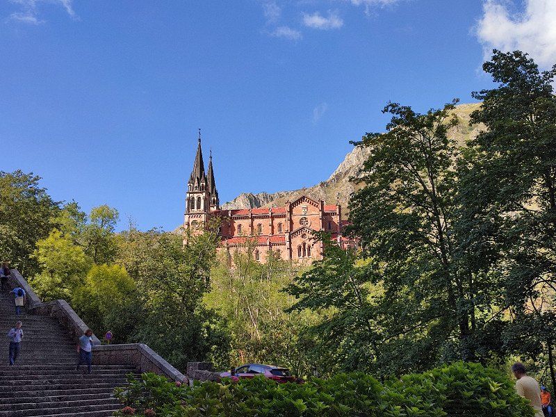
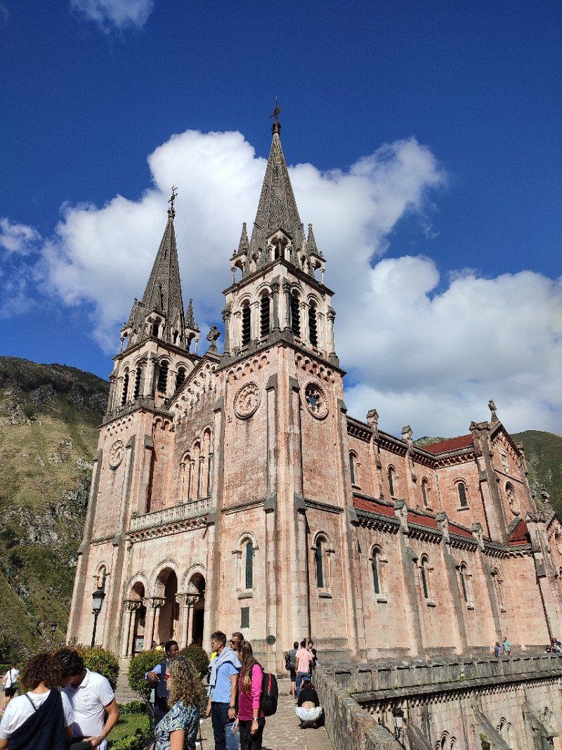
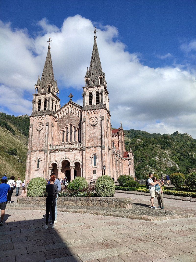
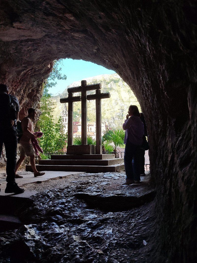
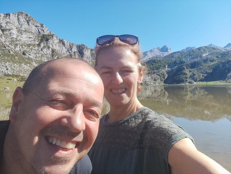
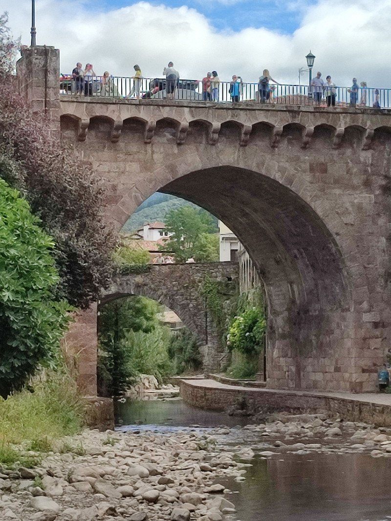
After the walk we decided to drive towards Covadonga.
We wanted to see the lakes and we had also read a lot about them and found that they were worth a visit.
We soon noticed that this was a busy area, and promotions were made to use the peripheral car parks and then public transport.
So first look for a parking space.
But to our delight we found it, edge parking 3 in Cangas de Onis with a public transport sales stand.
You pay a maximum of 2 euros until midnight and then the campers are allowed to spend the night there. To drive back in the morning or possibly pay 2 euros back if you want to stay another day.
Link see below:
*https://park4night.com/nl/lieu/83093/day-and-night-parking/cangas-de-on%C3%ADs-22-as-262/spain/asturias#.YxC1hXZBxEY
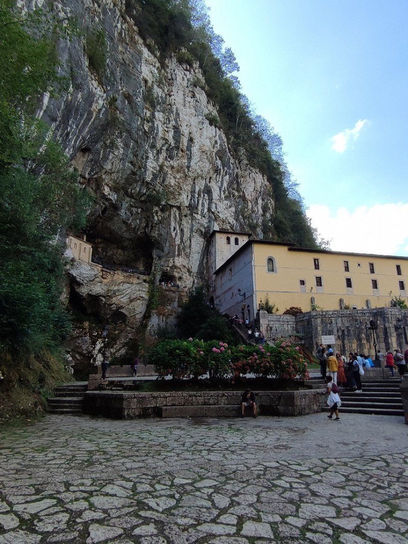
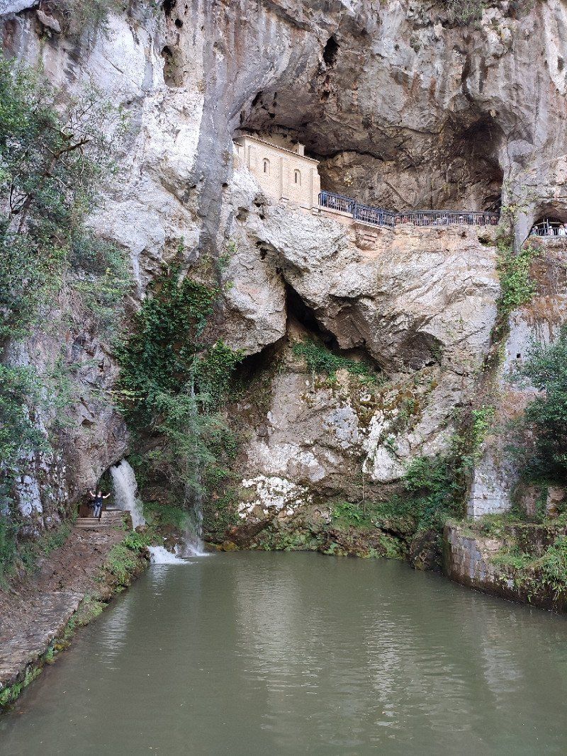
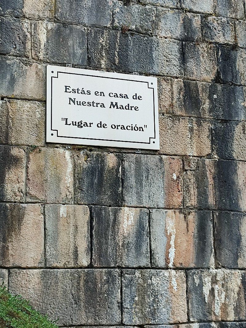
So we looked for a spot and then went exploring. Ticket for the bus to Covadonga. Looked exactly like Lourdes his Spanish.
We decided to spend the night there and then pay the 2 euros back in the morning to visit the Lagos of Covadonga.
This was a great idea!
33589 Covadonga, Asturias, Spanje
43° 18' 44.4" N 5° 3' 33.8" W
43.3123308 -5.0593809
• Head northwest. Go for 34 m.
• Take the 3rd exit from roundabout onto AS-262. Go for 5.0 km.
• Take the 3rd exit from roundabout onto AS-114. Go for 2.1 km.
• Take the 2nd exit from roundabout onto Barrio Pozo Los Lobos (AS-114). Go for 1.9 km.
• Turn left onto Calle Peñalver (N-625). Go for 10.5 km.
• Turn right onto AS-261. Go for 2.3 km.
• Turn left toward AM-1. Go for 55 m.
• Turn slightly left onto AM-1. Go for 1.5 km.
• Turn slightly left toward Pen. Go for 528 m.
• Turn slightly right onto Pen. Go for 60 m.
• Continue on Barrio Talenti. Go for 39 m.
• Turn slightly left onto Barrio Talenti (AM-1). Go for 51 m.
• Turn left onto AM-1. Go for 1.8 km.
• Turn slightly right onto Villaverde. Go for 3.3 km.
• Continue on Argolibio. Go for 489 m.
• Turn left toward Vega de Cien. Go for 1.2 km.
• Continue on Vega de Cien. Go for 73 m.
• Turn slightly left onto Vega de Cien. Go for 297 m.
• Turn left onto Puente Vega. Go for 42 m.
• Turn right onto N-625. Go for 30.1 km.
• Turn left onto CV-80/10. Go for 5.1 km.
• Arrive at CV-80/10.
☍
66,6 km
(1 hrs. 32 min.)
Day
Vrijdag 19 augustus 2022.
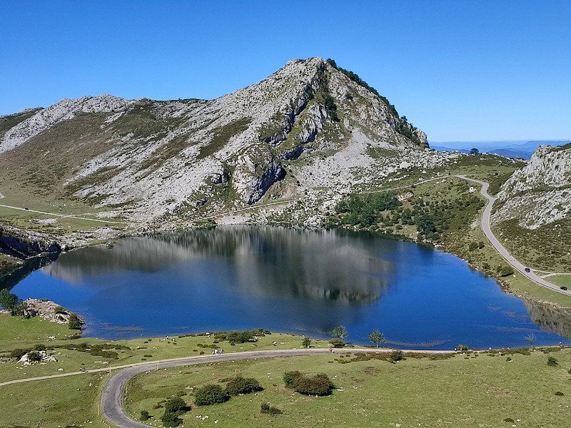
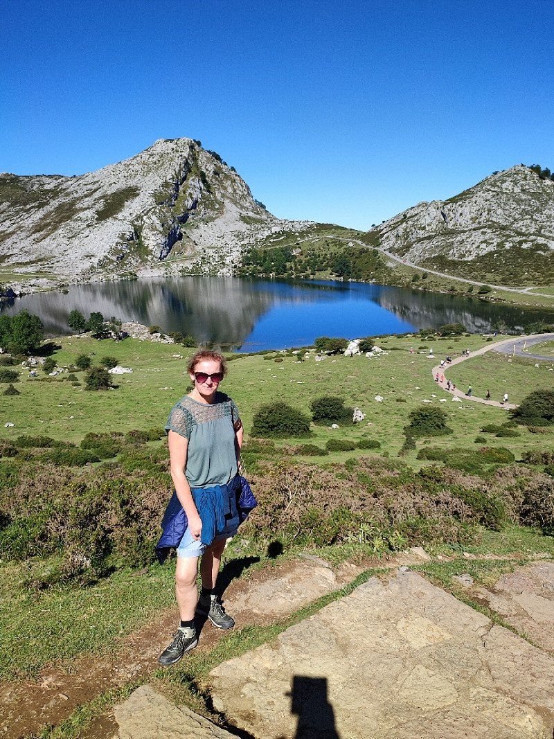
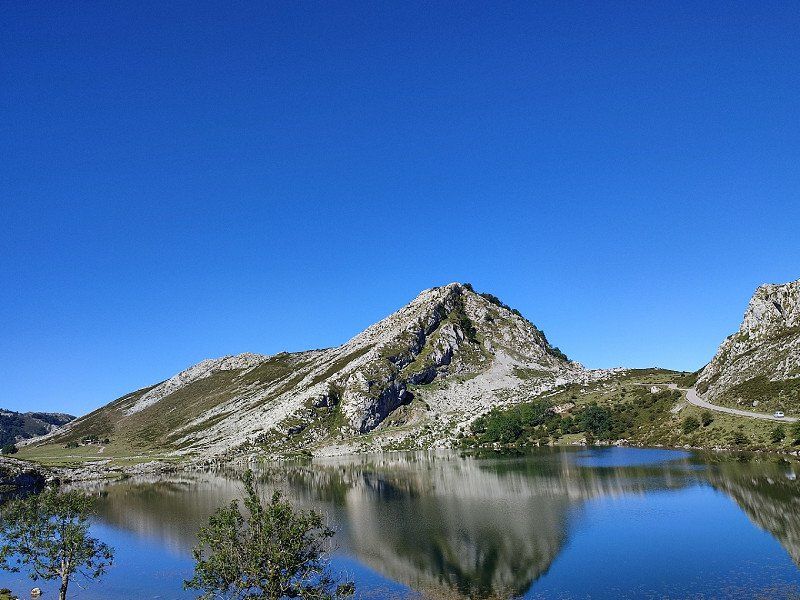
After a wonderful night, although a busy place in the evening for the campers, we decided to move before we go to the Lagos Covadonga. The same parking lot, but a better place to drive away around noon because we had seen how busy it could be there.
So 2 euros in the pay meter, our tickets for the bus to Lagos de Covadonga and away we were.
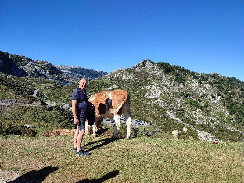
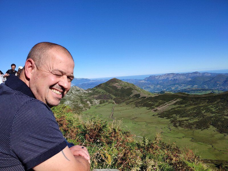
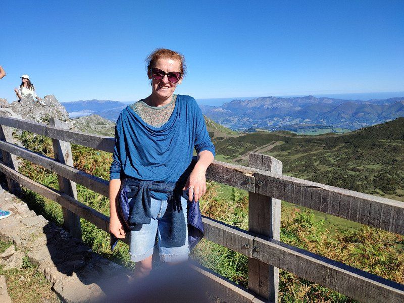
It was magnificent up there. Made a nice walk, took many pictures and especially enjoyed the beautiful views.
Day
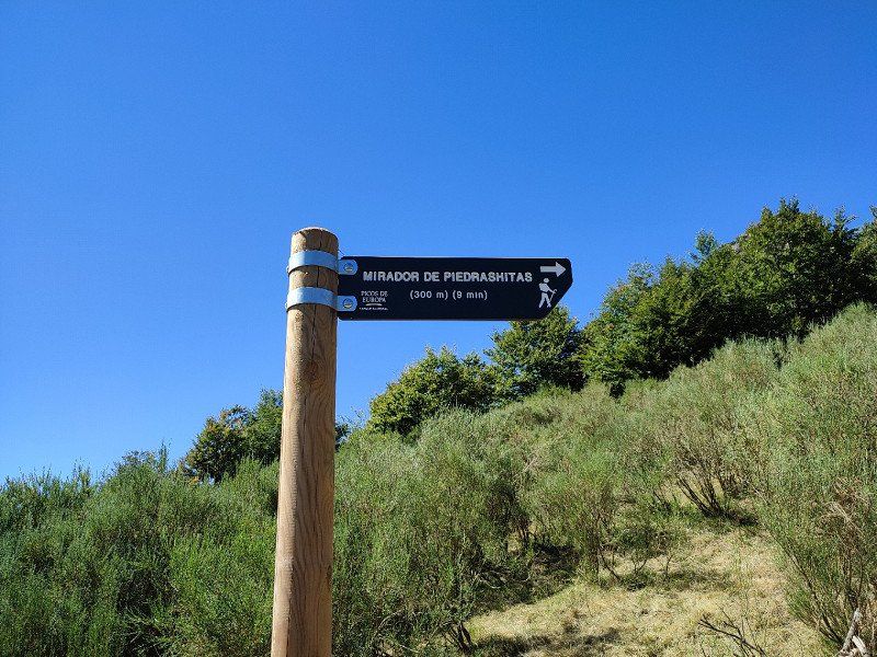
Mirador de Piedrashitas, Posada de Valdeón, Spanje
Around 1.30 pm we left for Posada de Valdeon.
This was the plan, to spend the night there on the motorhome.
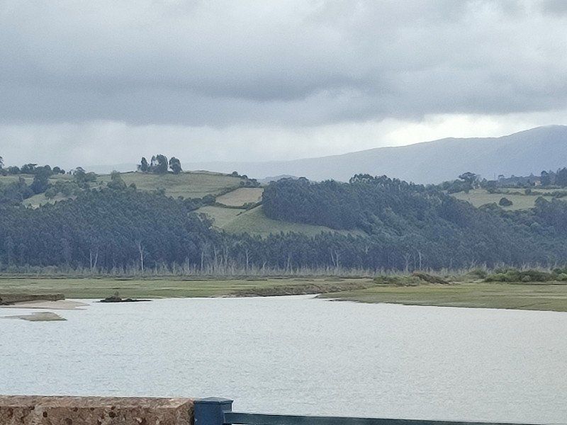
Beautiful drive through the Los Picos mountains, until we passed a beautiful place.
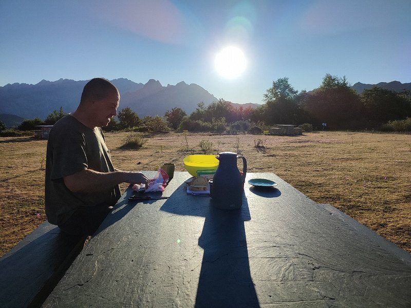
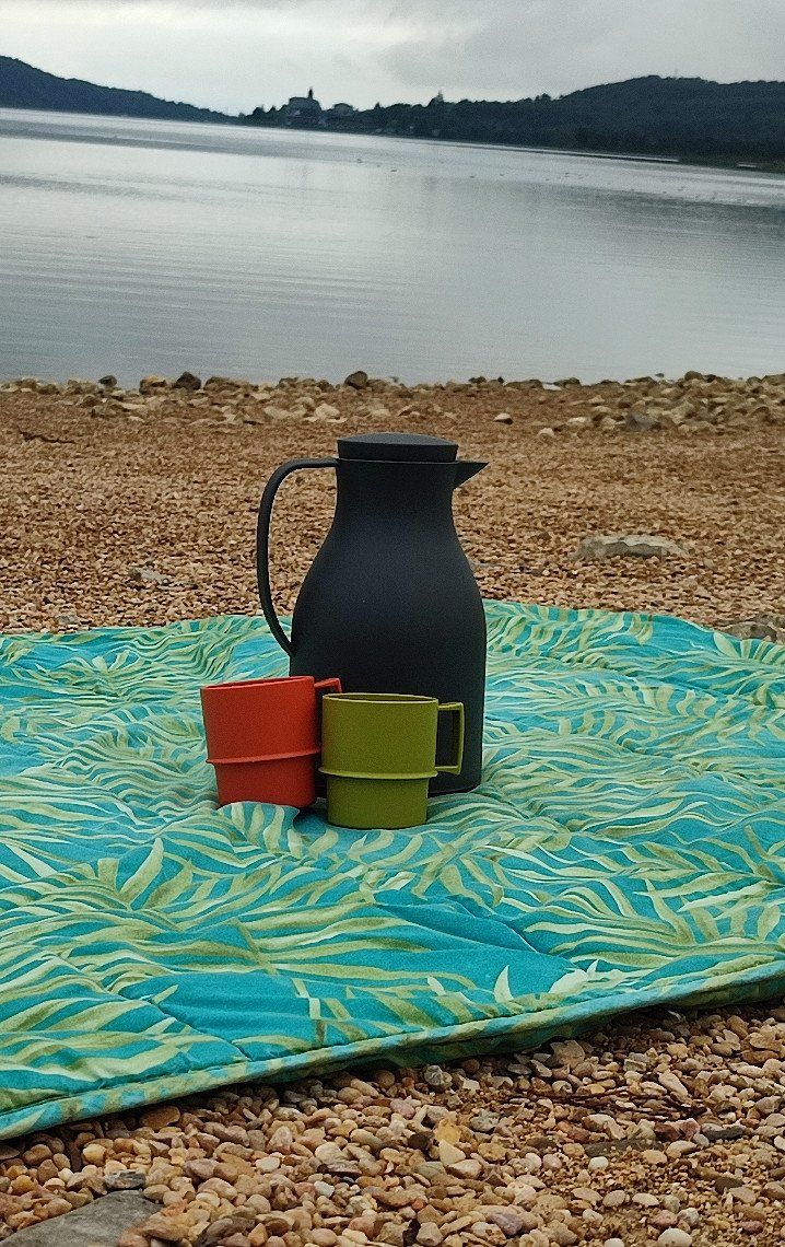
Namely the Mirador de Piedrashitas. Picnic tables, nice place and a sight to behold.
Perfect place to drink coffee and eat a cookie.
But even better, we stayed there for the night!!!!
Apparently also available via park4night, see link below:
*https://park4night.com/fr/lieu/43175/parking-camping-car-jour-et-nuit/bur%C3%B3n-le-2711/spain/le%C3%B3n#prettyPhoto
24914 Posada de Valdeón, León, Spanje
43° 7' 44.6" N 4° 58' 49.6" W
43.1290580 -4.9804427
• Head toward Carretera a Posada de Valdeón on CV-80/10. Go for 8.7 km.
• Continue on Calle del Ayuntamiento de Annoix (CV-80/10). Go for 315 m.
• Continue on Plaza de la Constitución. Go for 9 m.
• Continue on Carretera Cordiñanes. Go for 229 m.
• Turn right toward Calle General. Go for 38 m.
• Continue on Calle General. Go for 3.6 km.
• Continue on LE-243. Go for 16.0 km.
• Continue on Lugar Portilla Reina (LE-243). Go for 311 m.
• Continue on LE-243. Go for 263 m.
• Turn left onto N-621. Go for 35.5 km.
• Turn left onto Calle San Pedro. Go for 55 m.
• Turn slightly left onto Calle La Solana. Go for 70 m.
• Turn right onto Calle La Solana. Go for 17 m.
• Turn left onto Calle Llano. Go for 77 m.
• Turn slightly right onto Calle San Cayetano. Go for 61 m.
• Turn left onto Calle Virgen del Camino. Go for 86 m.
• Turn slightly right onto Calle Virgen del Camino. Go for 200 m.
• Turn slightly left onto Calle Fonfría (CA-185). Go for 313 m.
• Continue on CA-185. Go for 1.5 km.
• Continue on Barrio Turieno (CA-185). Go for 113 m.
• Continue on Barrio Turieno (CA-185). Go for 347 m.
• Continue on CA-185. Go for 2.5 km.
• Turn right onto Puente de Carabaño. Go for 29 m.
• Continue on Barrio San Pelayo. Go for 14 m.
• Arrive at Barrio San Pelayo. Your destination is on the right.
☍
70,4 km
(1 hrs. 25 min.)
Zaterdag 20 augustus
After a blissful night we left around 10 am for the Camping, the only one we had booked in advance.
First a stop at the supermarket to fill the fridge with lots of tasty things.
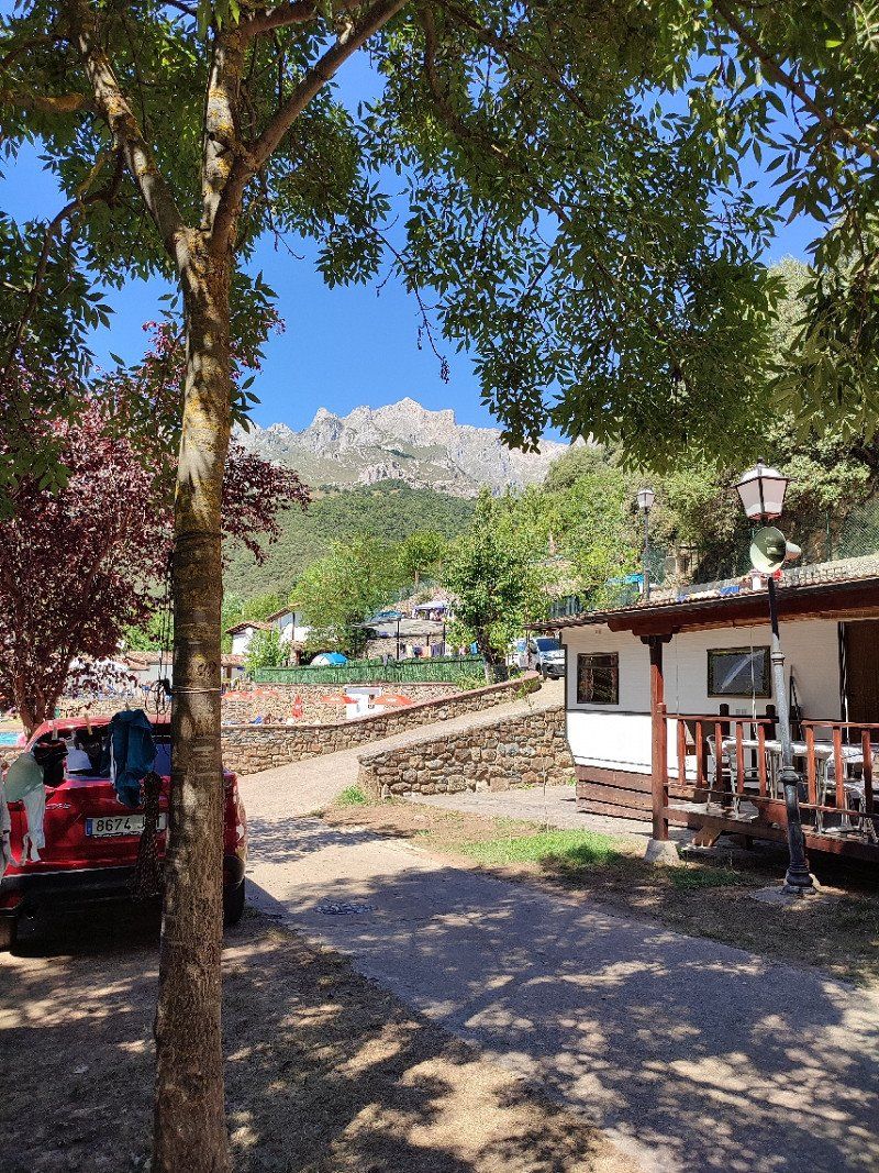
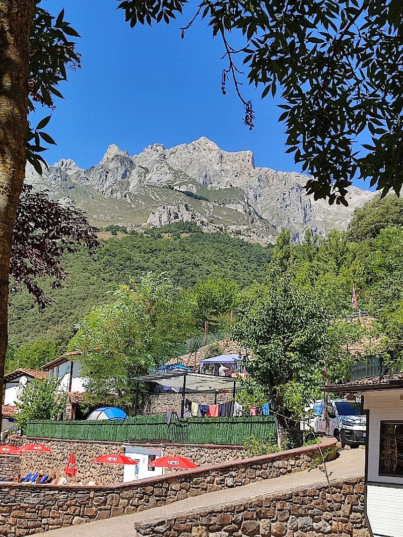
Camping San Pelayo, Carretera Potes Fuente Dé, Camaleño, Spanje
We arrived around noon, or just after.
Super welcome and while my husband was running water and cleaning the toilet, I went to approve our place.
We had a choice, but the one with the beautiful view of the mountains was perfect for us.
Under the trees, which provided cooling and the necessary shade.
We settled in and soon found that this was a perfect choice.
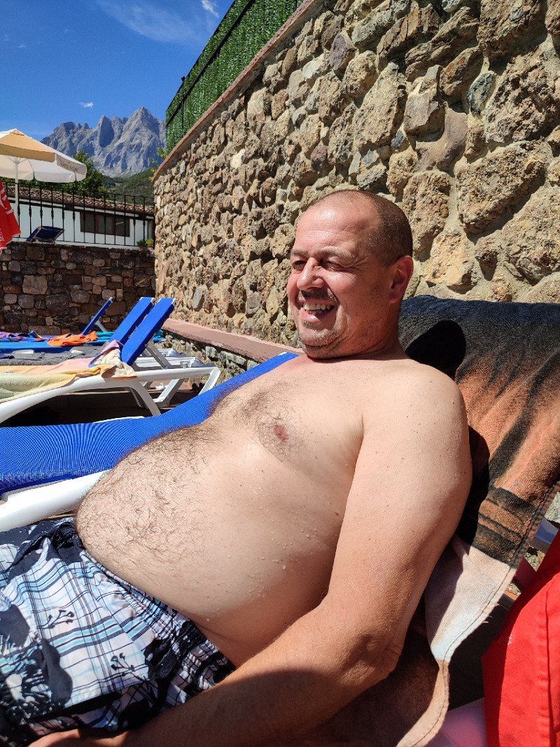
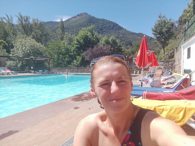
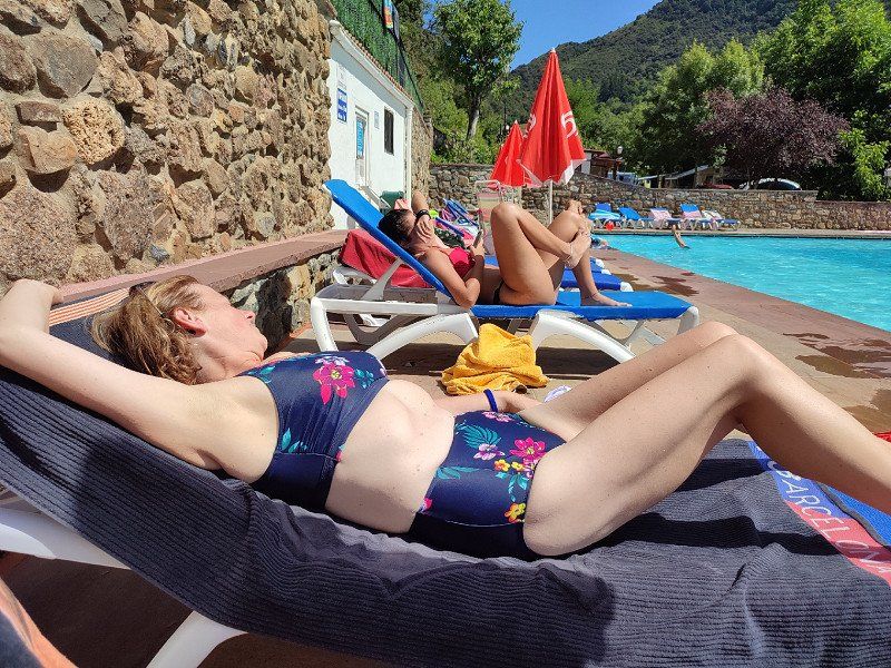
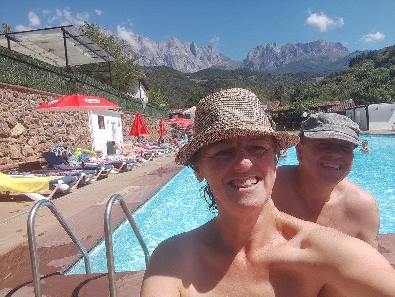
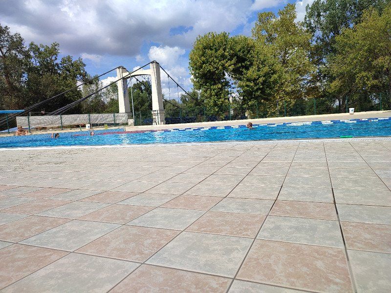
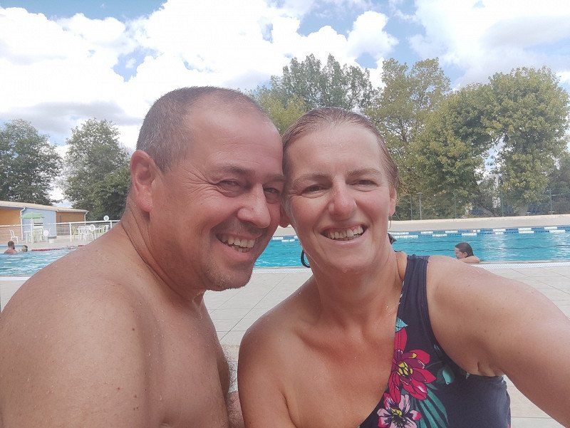
In the afternoon we spent some time at the pool, ideal with these temperatures.
Lugar Baró, Carretera Potes Fuente Dé, Km. 5, 39587 Camaleño, Cantabria, Spanje
43° 9' 15.2" N 4° 40' 53.6" W
43.1542101 -4.6815598
• Head toward Baro on Barrio San Pelayo. Go for 14 m.
• Continue on Puente de Carabaño. Go for 29 m.
• Turn left onto CA-185. Go for 2.5 km.
• Continue on Barrio Turieno (CA-185). Go for 460 m.
• Continue on CA-185. Go for 1.5 km.
• Continue on Calle Fonfría (CA-185). Go for 542 m.
• Continue on Plaza de la Serna (CA-185). Go for 74 m.
• Turn slightly right onto Calle Doctor Encinas (CA-185). Go for 246 m.
• Keep left onto Calle Doctor Encinas (CA-185). Go for 1.2 km.
• Take the 1st exit from roundabout onto Calle el Puente (CA-184). Go for 25.3 km.
• Continue on CL-627. Go for 29.0 km.
• Continue on CL-626. Go for 640 m.
• Turn left onto Carretera Aguilar (CL-626). Go for 24.7 km.
• Take the 2nd exit from Avenida Ronda roundabout onto Avenida Ronda (CL-626). Go for 666 m.
• Take the 3rd exit from roundabout onto N-627. Go for 693 m.
• Pass 2 roundabouts and continue on N-627. Go for 1.4 km.
• Take the 1st exit from roundabout onto N-627 toward A-67/Reinosa/Santander/Montorio/Burgos. Go for 357 m.
• Pass 2 roundabouts and continue on N-627. Go for 6.2 km.
• Take the 1st exit from roundabout onto N-627 toward A-73/Montorio/Burgos/Fuencaliente de Lucio. Go for 162 m.
• Take the 2nd exit from roundabout onto A-73 toward Montorio/Burgos. Go for 11.6 km.
• Take the 3rd exit from roundabout onto N-627 toward Pedrosa de Valdelucio/Burgos. Go for 25.9 km.
• Turn left onto BU-601 toward CL-633/N-623/Masa/Poza de la Sal. Go for 6.5 km.
• Continue toward CL-633/Masa. Go for 68 m.
• Turn right onto BU-503 toward Masa. Go for 1.1 km.
• Continue on BU-502. Go for 22.2 km.
• Turn right onto Calle Larga. Go for 93 m.
• Turn slightly right onto Calle el Pilón. Go for 159 m.
• Continue on Calle Larga. Go for 13 m.
• Turn slightly right onto Calle Larga. Go for 12 m.
• Continue on Calle Las Cercas. Go for 165 m.
• Arrive at Calle Las Cercas. Your destination is on the left.
☍
163,7 km
(2 hrs. 18 min.)
Day
Zondag 21 augustus 2022
Today we put on our hiking boots after breakfast.
We walked from San Pelayo to Lon and back.
We left with clouds and after a while the sun came through and we felt that it was going to be another bright day.
So in the afternoon the pool provided the necessary cooling!!!!
Day
Maandag 22 augustus 2022
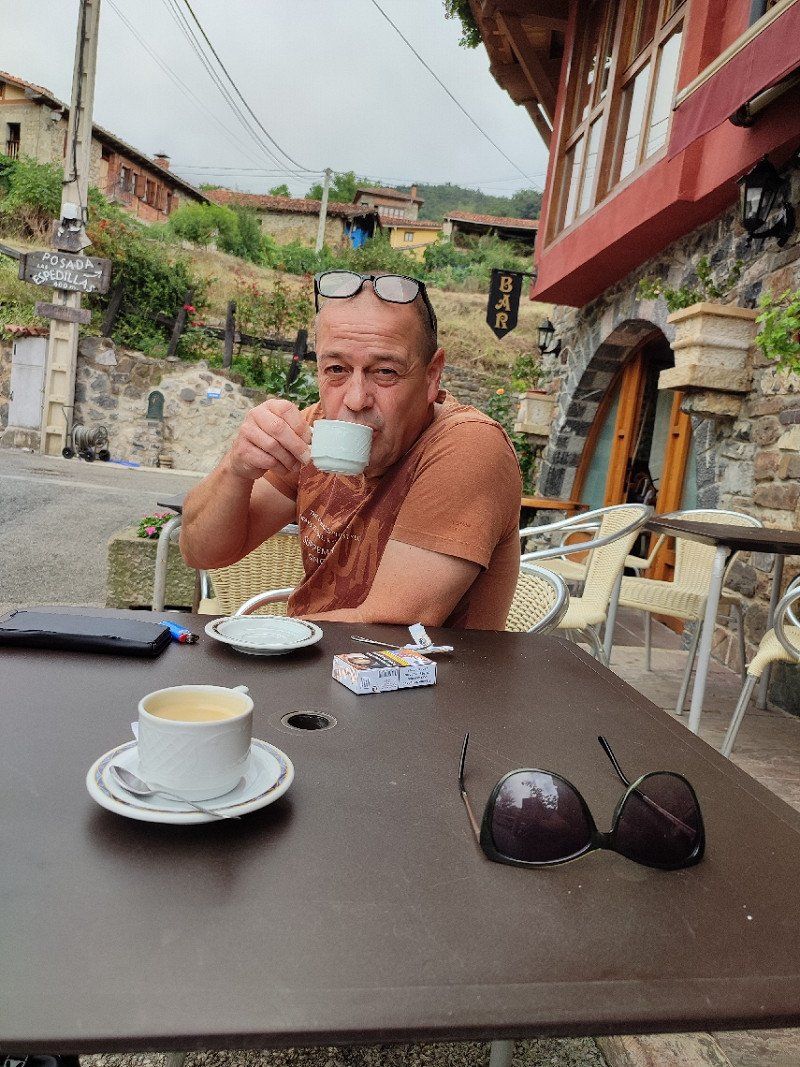
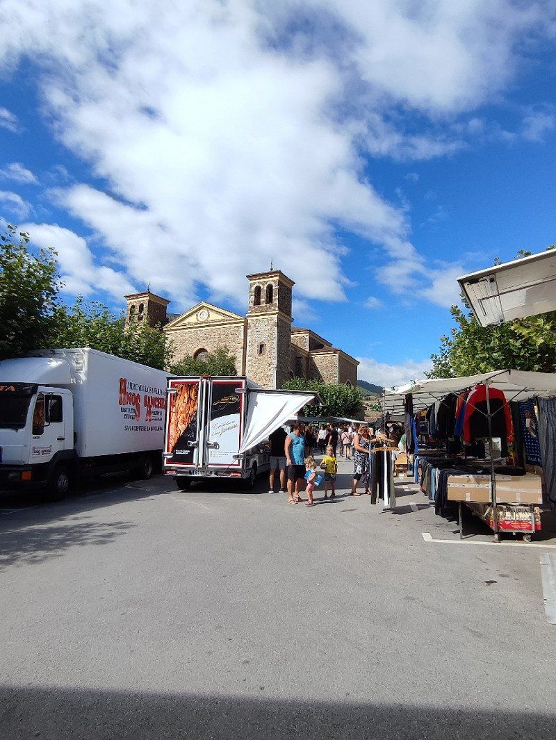
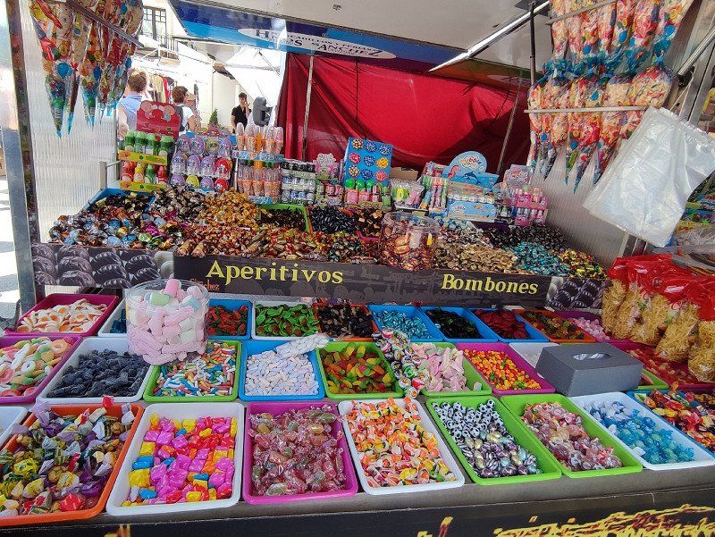
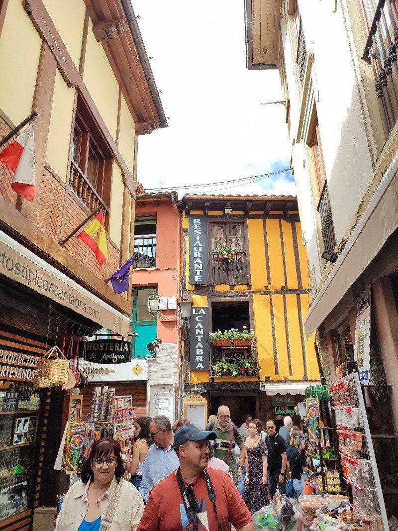
Today it was time to get the bikes off the rack and cycle towards Potes. A village, about 5 km downhill from the campsite.
Blessed ride there, mountain down!!!! Go with that banana!!!!
And then there was still a market, so stroll and enjoy all the beauty and also the goodies.
But yes downhill, also means uphill back to the campsite.
So kick it and yes go with that banana!!!!!
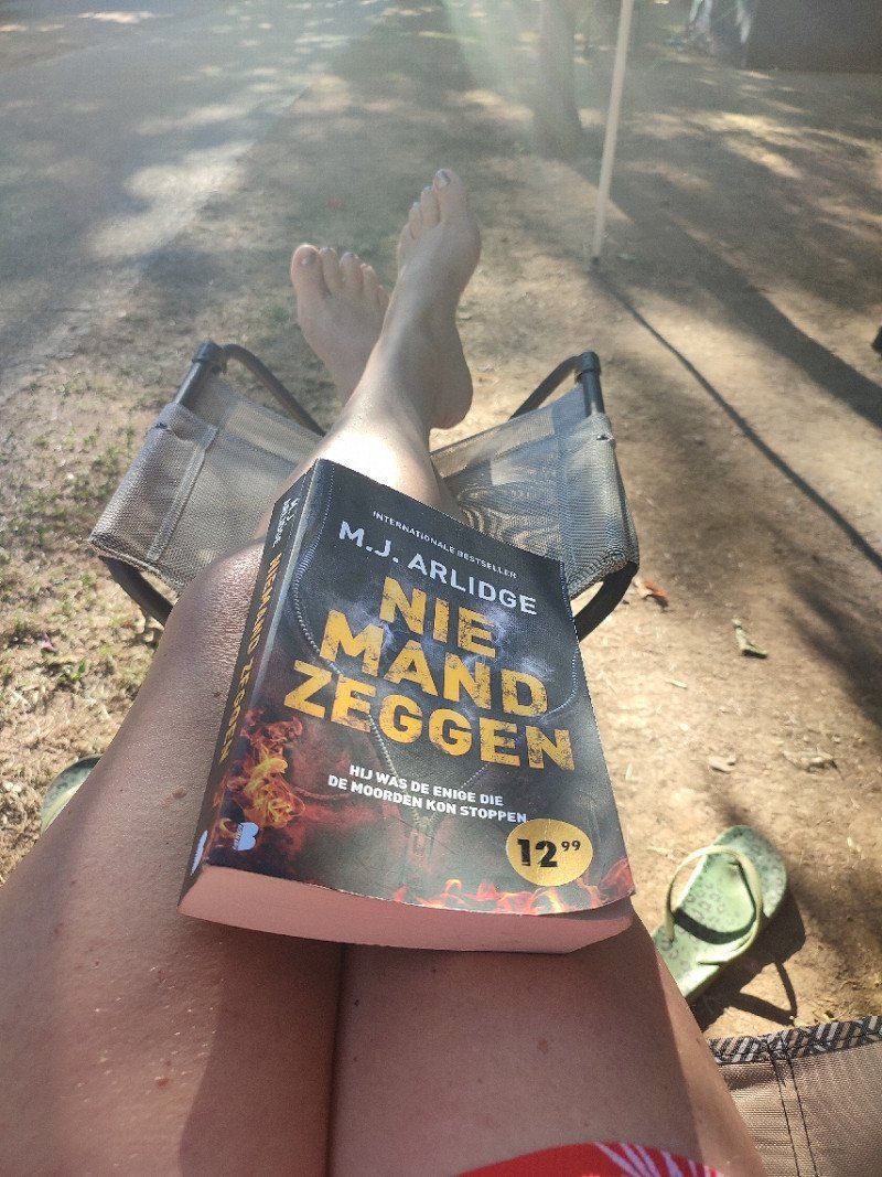
We noticed that a visit to the pool became tradition in the afternoon, chilling out and doing nothing.
Read a book.
do we need more???
Oh yes, a snack and a drink were also part of it!!!
Day
Dinsdag 23 augustus 2022
Today we went to do nothing, but really nothing.
Oh yes, I went for a swim in the morning, had the pool to myself and I eagerly used it.
It was a lazy day.
Day
Woensdag 24 augustus 2022
This morning it was time to say goodbye and drive a little further.
We left the campsite around 9am.
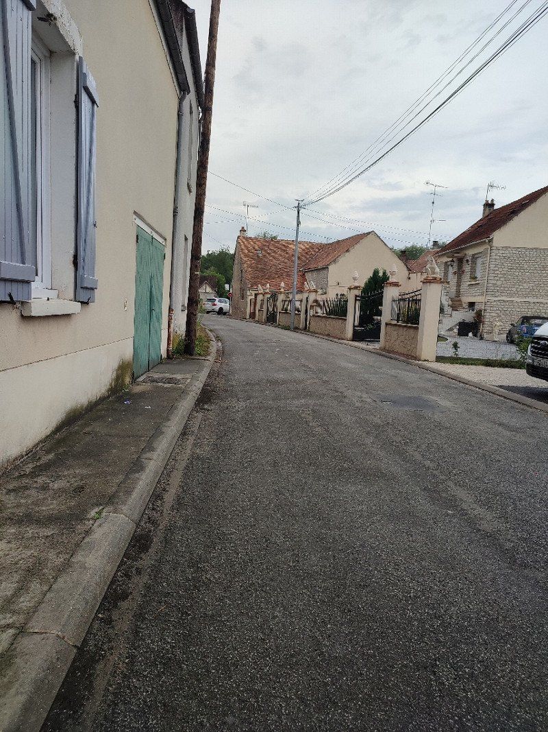
Poza de la Sal, Spanje
After nice laps through the mountains, we passed this village around noon. We parked and got our picnic upstairs.
09246 Poza de la Sal, Burgos, Spanje
42° 39' 56.6" N 3° 30' 6.1" W
42.6657196 -3.5016882
• Head toward Calle Músico Marcos Sanjuane on Calle Las Cercas. Go for 9 m.
• Turn left onto Calle Músico Marcos Sanjuane. Go for 45 m.
• Turn left onto Plaza la Iglesia. Go for 15 m.
• Turn right onto Plaza la Iglesia. Go for 10 m.
• Continue on Calle La Hillera. Go for 76 m.
• Turn right onto BU-502. Go for 214 m.
• Turn left onto Calle Burgos (BU-502). Go for 2.0 km.
• Turn right onto BU-502. Go for 4.7 km.
• Continue on CL-632. Go for 318 m.
• Keep left toward N-232. Go for 72 m.
• Continue on N-232. Go for 19.7 km.
• Take ramp onto N-1 toward N-232/Logroño/Vitoria. Go for 7.5 km.
• Take ramp toward Burgos/Vitoria. Go for 178 m.
• Continue toward Burgos/Vitoria. Go for 12 m.
• Take the 2nd exit from roundabout toward Burgos/Vitoria. Go for 73 m.
• Take ramp onto AP-1 (Autovía del Norte) toward Vitoria/Logroño/Bilbao. Go for 26.3 km.
• Take the left exit onto A-1 (Autovía del Norte). Go for 29.7 km.
• Take exit 357 toward Arkaute/Lizarra/Estella onto A-2134. Go for 654 m.
• Turn right toward A-3008. Go for 19 m.
• Turn right onto A-3008. Go for 594 m.
• Continue on Carretera Azua (A-3008). Go for 59 m.
• Continue on A-3002. Go for 3.1 km.
• Continue on Carrer Bergara (A-3002). Go for 512 m.
• Continue on A-3002. Go for 1.7 km.
• Turn right onto A-4011. Go for 795 m.
• Continue on A-4011. Go for 1.1 km.
• Turn right onto A-4011. Go for 1.5 km.
• Continue on Nanclares de Ganboa (A-4011). Go for 58 m.
• Turn slightly left onto Calle Única. Go for 256 m.
• Arrive at Calle Única. Your destination is on the right.
☍
101,3 km
(1 hrs. 5 min.)
Única Kalea, 11, 01520 Langara Ganboa, Spanje
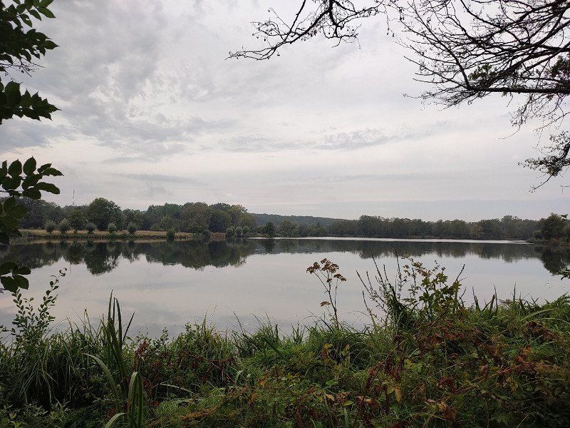
Here, on this lake, we went looking for a place to sleep, it didn't matter where.
We quickly found something via park4night. See link below :
*https://park4night.com/fr/lieu/197438/parking-camping-car-jour-et-nuit/1-bentabarri-kalea/spain/araba#prettyPhoto
There was direct access to the lake, and swimming was permitted.
The sun wasn't there but the temperatures were high, so change clothes and a dip in the lake did wonders.
Blissful place.
Única Kalea, 11, 01520 Langara Ganboa, Araba, Spanje
42° 55' 17.7" N 2° 34' 34" W
42.9215872 -2.5761110
• Head northeast on Calle Única.
• Turn right onto Calle Única. Go for 30 m.
• Turn slightly right onto Calle Única. Go for 245 m.
• Continue on Nanclares de Ganboa (A-4011). Go for 58 m.
• Continue on A-4011. Go for 3.4 km.
• Turn left onto A-3002. Go for 1.7 km.
• Continue on Carrer Bergara (A-3002). Go for 512 m.
• Continue on A-3002. Go for 1.7 km.
• Turn right onto A-4027. Go for 894 m.
• Take the 1st exit from roundabout onto N-240 toward Bilbao. Go for 3.9 km.
• Take exit 10 toward A-4016/Luko/E-5/E-80/AP-1/Aireportua/Arrasate/Mondragón/Donostia/San Sebastián. Go for 599 m.
• Take the 2nd exit from roundabout onto AP-1 (Autopista Vitoria-Eibar) toward Arrasate/Mondragón/Donostia/San Sebastián. Go for 39.4 km.
• Take the exit onto AP-1/AP-8 (Autopista del Cantábrico). Go for 42.6 km.
• Take the exit toward Hernani/Pasaia/Irun/Baiona/Bordeaux onto AP-1/AP-8 (Segundo Cinturón de San Sebastián). Go for 14.6 km.
• Take the exit onto AP-8. Go for 12.7 km.
• Continue on A63 (Autoroute de la Côte Basque). Go for 31.4 km.
• Take the exit toward A64/E80/Toulouse/Pau/Bayonne-Mousserolles onto D1 (Échangeur de Bayonne-Mousserolles). Go for 10.9 km.
• Keep left onto A64 (La Pyrénéenne). Go for 84.3 km.
• Take the exit toward Bordeaux/Agen/Mont de Marsan onto A65 (Autoroute de Gascogne). Go for 33.5 km.
• Take exit 8 toward Garlin. Go for 783 m.
• Continue toward Pau/Lembeye/Arzacq-Arraziguet/Garlin. Go for 62 m.
• Take the 2nd exit from roundabout onto D105 toward Pau/Garlin/Arzacq-Arraziguet/Lembeye. Go for 668 m.
• Take the 3rd exit from roundabout onto Route de Bordeaux (D834) toward Bordeaux/Aire sur l'Adour. Go for 3.5 km.
• Turn right onto Route de Riscle (D646) toward Projan/Riscle. Go for 3.2 km.
• Continue on D946. Go for 16.5 km.
• Turn right onto Rue des Marronniers. Go for 220 m.
• Turn left onto Rue de la Poste. Go for 53 m.
• Turn right onto Avenue de la Gare (D26). Go for 629 m.
• Turn left onto D516 toward A65/Mt de Marsan/Bordeaux/Nogaro/Aire S/l'Adour/Mirande. Go for 207 m.
• Turn right onto Place de l'Église (D935). Go for 76 m.
• Turn left onto Place de l'Église. Go for 10 m.
• Turn right onto Place de l'Église. Go for 63 m.
• Arrive at Place de l'Église. Your destination is on the left.
☍
308,3 km
(2 hrs. 56 min.)
Day
Donderdag 25 augustus 2022
Before we left in the morning, we had our breakfast at the lake. There was no one there, just us and the birds....
Around 10 am we gathered everything and went a step closer to France, because a visit to Oradour sur Glane was a must.
Riscle, Frankrijk
Here we settled in for the evening and then drove to Oradour sur Glane the next day, but it was so quiet and so calm that we just stayed an extra day.
We found the place through Camper car park, see the link below :
*https://www.campingcarpark.com/fr_FR/sejour/aire-etape-camping-car/occitanie/32-gers/riscle
32400 Riscle, Frankrijk
43° 39' 30.9" N 0° 5' 12.5" W
43.6585940 -0.0868189
• Head south on Place de l'Église.
• Continue on Place de l'Hôtel de Ville. Go for 25 m.
• Turn left onto Place de l'Église. Go for 37 m.
• Turn left onto Avenue de l'Adour (D935). Go for 1.6 km.
• Turn left onto Lieu-dit Montplaisir (D935) toward A65/Mt de Marsan/Bordeaux/Le Houga/Aire S/l'Adour/St Germé. Go for 10.9 km.
• Take the 1st exit from roundabout onto D935 toward A65/Bordeaux/Pau/Mt de Marsan/Agen/Nogaro/Le Houga/Aire S/l'Adour/Barcelonne du G./Z.A. de Bassia. Go for 2.5 km.
• Pass 2 roundabouts and continue on D935. Go for 4.2 km.
• Take the 3rd exit from roundabout toward A65/E7/Bordeaux/Mt de Marsan/Tarbes/Pau/Aire sur l'Adour-Sud. Go for 443 m.
• Take the 1st exit from roundabout onto A65 (Autoroute de Gascogne) toward Bordeaux/Villeneuve S/Lot/Mont de Marsan. Go for 99.2 km.
• Take the left exit toward Bordeaux/Libourne onto A62 (Autoroute des Deux Mers). Go for 41.9 km.
• Take the exit toward E72/Paris/Libourne/Bordeaux/Bègles onto A630 (Rocade de Bordeaux). Go for 3.8 km.
• Keep left onto Rocade de Bordeaux (N230) toward Paris/A10/Lyon/A89. Go for 10.2 km.
• Take left ramp onto A10 toward E606/Paris/Nantes/Angoulême/Saintes. Go for 16.7 km.
• Take exit 39B toward Angoulême/Barbezieux onto N10. Go for 94.9 km.
• Take ramp onto N141 toward Limoges/La Rochefoucauld/Angoulême-Nord/Ruelle S/Touvre/Gond-Pontouvre. Go for 30.5 km.
• Take the 2nd exit from roundabout onto Route de Limoges (N141) toward Guéret/Montluçon/Limoges/Suaux/Roumazières/Chabanais/St Junien. Go for 8.9 km.
• Take the 2nd exit from roundabout. Go for 554 m.
• Take the 1st exit from roundabout onto N141. Go for 34.0 km.
• Take ramp toward St Brice sur Vienne/La Bretagne/Oradour sur Glane. Go for 393 m.
• Take the 4th exit from roundabout. Go for 478 m.
• Continue on D101. Go for 2.0 km.
• Continue on Rue de l'Ancienne École (D101). Go for 1.9 km.
• Continue on Lieu-dit Le Masférat (D101). Go for 84 m.
• Continue on D101. Go for 942 m.
• Continue on Lieu-dit La Croix du Bois du Loup (D101). Go for 355 m.
• Continue on D101. Go for 825 m.
• Take the 3rd exit from roundabout onto Rue Pralon. Go for 646 m.
• Take the 4th exit from Place du 8 Mai 1945 roundabout onto D3. Go for 1.3 km.
• Turn right onto D3. Go for 2.0 km.
• Continue on Route de Cieux (D3). Go for 434 m.
• Continue on Lieu-dit Le Grand Charrat (D3). Go for 1.3 km.
• Continue on Route d'Oradour-sur-Glane (D3). Go for 1.6 km.
• Turn left onto Avenue du Lac (D3). Go for 645 m.
• Turn right onto Allée Bel Air. Go for 183 m.
• Arrive at Allée Bel Air. Your destination is on the right.
☍
375,5 km
(3 hrs. 35 min.)
Day
Vrijdag 26 augustus 2022
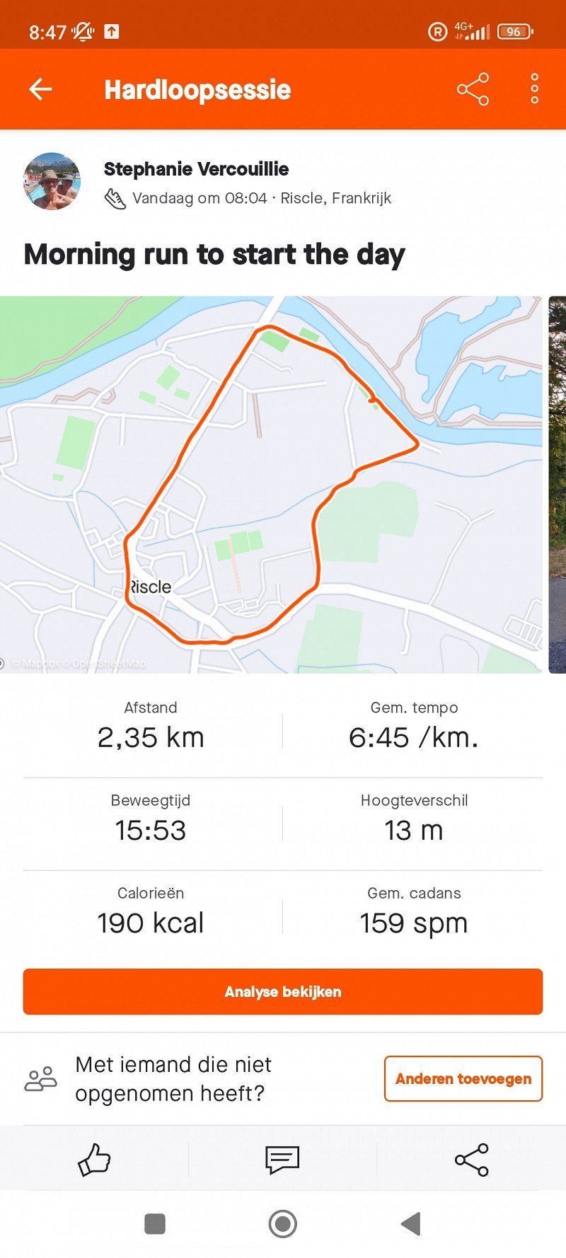
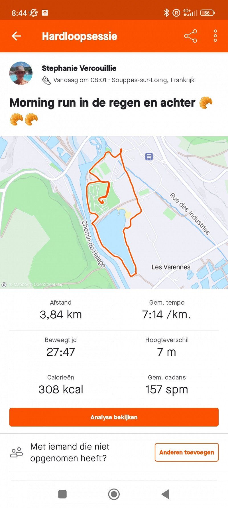
On Friday morning I started my day with my running shoes on.
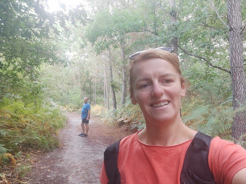
Nice breakfast afterwards and then a walk from the camper place to the market and then along 'le sentier d'Ardour'. This was a nice walk.
In the afternoon we chilled at the outdoor swimming pool that is literally at the entrance of the camper place.
Day
Zaterdag 27 augustus 2022
Good morning,
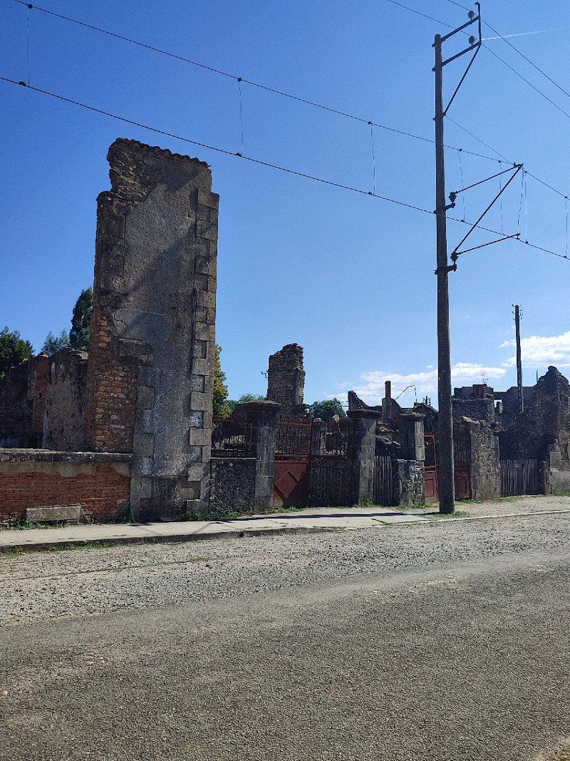
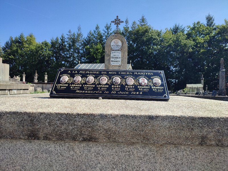
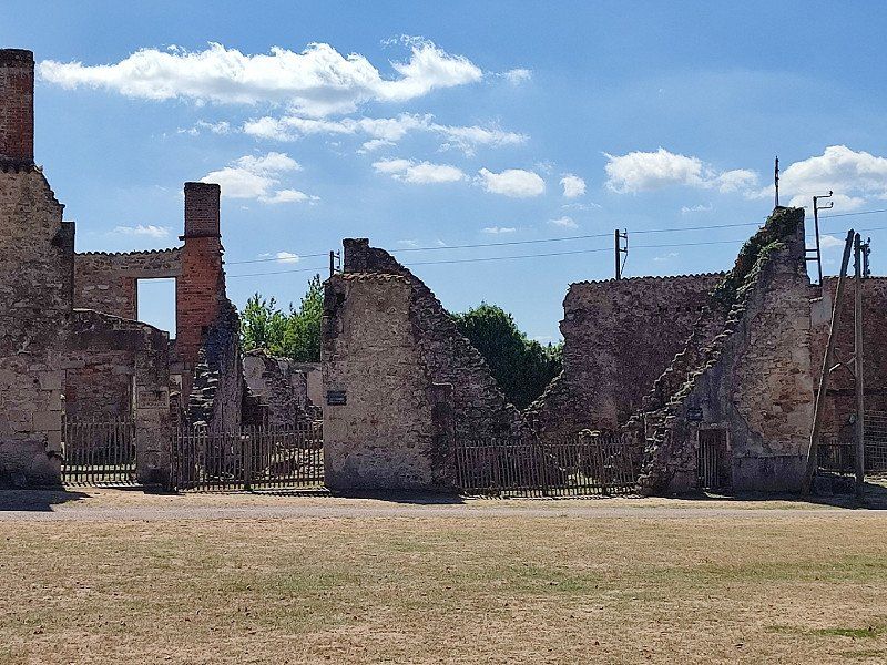
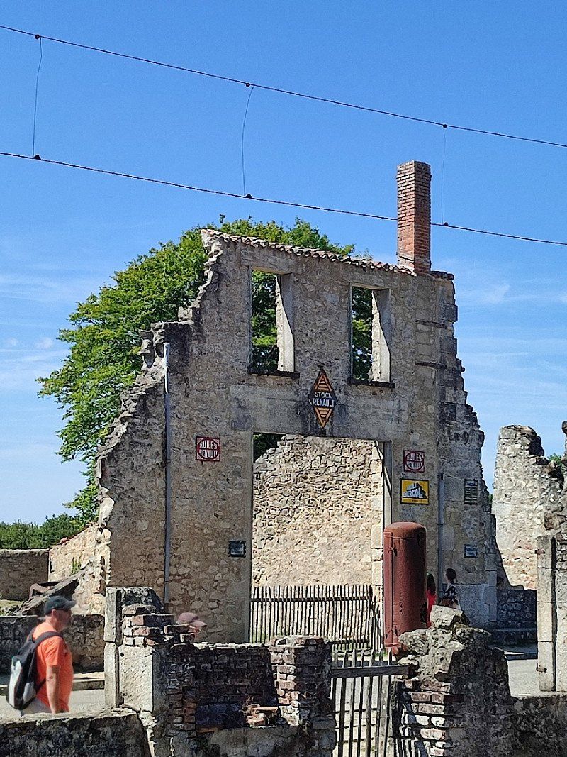
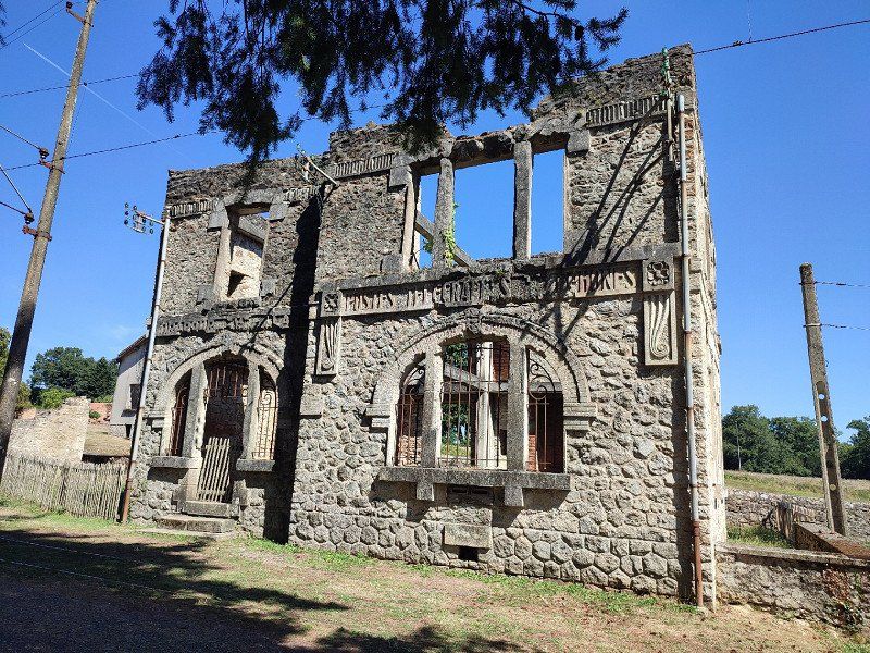
Today we leave for Oradour Sur Glane. Finally, something that has been on our 'must see' list for a while.
Cieux, Frankrijk
We drove through Oradour Sur Glane and soon noticed that the car parks were very busy there.
But I had found a motorhome about 7km in a village Cieux.
I found it via the camper car park app, see the link below:
*https://www.campingcarpark.com/fr_FR/sejour/camping/nouvelle-aquitaine/87-haute-vienne/cieux
Quiet, the way we like it.
We immediately decided to visit Oradour on a Sunday, at our leisure.
87520 Cieux, Frankrijk
45° 59' 29.6" N 1° 2' 59.3" E
45.9915639 1.0498050
• Head north on Allée Bel Air. Go for 95 m.
• Turn left onto Route de Nantiat (D711). Go for 121 m.
• Turn right onto Route de Vaulry (D38). Go for 661 m.
• Continue on D38. Go for 863 m.
• Continue on Lieu-dit La Chaize (D38). Go for 309 m.
• Continue on D38. Go for 681 m.
• Continue on Route de Cieux (D38). Go for 3.0 km.
• Turn right onto Rue du 8 Mai 1945 (D5). Go for 522 m.
• Turn left onto Route de la Gare (D38). Go for 2.5 km.
• Continue on Route de Breuilaufa (D38). Go for 562 m.
• Continue on Route de la Gare (D38). Go for 493 m.
• Continue on Route de Roussac (D38). Go for 542 m.
• Continue on Route de Vaulry (D38). Go for 582 m.
• Continue on D38. Go for 890 m.
• Continue on Lieu-dit Pont de Fraisse (D38). Go for 94 m.
• Continue on D38. Go for 2.1 km.
• Continue on Rue Sainte-Claire (D38). Go for 682 m.
• Continue on D38. Go for 189 m.
• Continue on Lieu-dit Puy Laubard (D38). Go for 190 m.
• Continue on D38. Go for 473 m.
• Continue on Lieu-dit Beaugache (D38). Go for 150 m.
• Continue on Lieu-dit La Clôdure (D38). Go for 121 m.
• Continue on D38. Go for 1.4 km.
• Continue on Rue du Vieux Lavoir (D38). Go for 1.1 km.
• Continue on Rue de la Fontaine (D711). Go for 10.2 km.
• Turn right onto Avenue de Lorraine (D711). Go for 6.9 km.
• Take the 2nd exit from roundabout. Go for 98 m.
• Continue on D711. Go for 684 m.
• Take the 3rd exit from roundabout onto D220. Go for 798 m.
• Continue toward L'Occitane/A20. Go for 356 m.
• Take ramp onto A20 (L'Occitane) toward Châteauroux. Go for 146 km.
• Take the exit toward A85/Tours/Blois/Paris/Orléans onto A71. Go for 79.8 km.
• Take the exit onto A10 (L'Aquitaine). Go for 15.2 km.
• Take the exit toward E60/A19/Metz/Nancy/Fontainebleau/Montargis. Go for 1.2 km.
• Continue on A19. Go for 64.9 km.
• Take the exit toward Paris/Fontainebleau/Nevers/Montargis-Centre. Go for 876 m.
• Take the exit onto A77. Go for 14.9 km.
• Take exit 17 toward Dordives. Go for 458 m.
• Take the 1st exit from roundabout onto Bretelle D. 6 de Dordives toward Dordives. Go for 2.0 km.
• Take the 2nd exit from roundabout onto D2007 toward Souppes S/L. Go for 3.8 km.
• Turn left toward Avenue du Foyer. Go for 32 m.
• Turn sharp right onto Rue Paul Rollin. Go for 258 m.
• Continue on Rue Carnot. Go for 92 m.
• Turn left onto Rue Baudin. Go for 22 m.
• Arrive at Rue Baudin. Your destination is on the right.
☍
366,7 km
(3 hrs. 23 min.)
Day
Zondag 28 augustus 2022.
So after breakfast, we went as agreed with the bikes towards Oradour Sur Glane. A ride of about 8 km and we were there.
The visit was more than worth it. A moment of silence, that's all I can say. Something that came in, the horror, the sadness,...
We were seriously impressed when we cycled to the motorhome. We had to let this sink in!!!!
Day
Maandag 29 augustus 2022.
This was the day we really drove home and made one last stop.
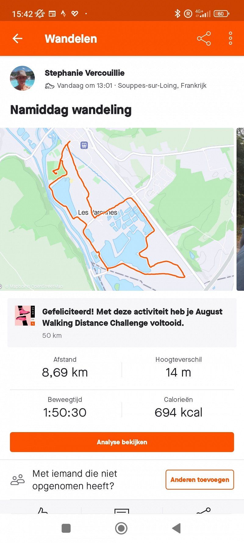
Souppes-sur-Loing, Frankrijk
Our stopping point was somewhere in Souppes sur Loing.
We really like the unknown villages, which all have their splendor.
Our spot was one via Camper car park, see the link below:
*https://www.campingcarpark.com/fr_FR/sejour/camping/ile-de-france/77-seine-et-marne/souppes-sur-loing
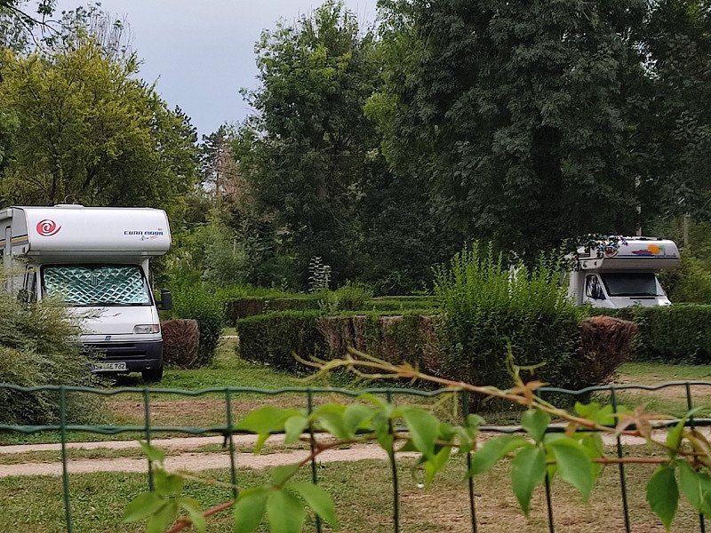
We got there, and there were still a few fellow campers.
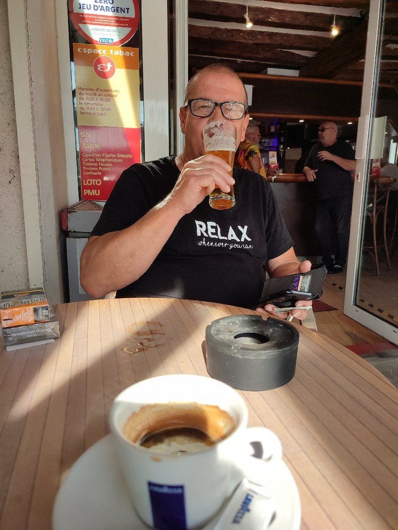
We settled in, and once went to the market, time for a coffee for me and a fresh pint for my husband.
Sprawled out on the terrace, how clean can it be.
77460 Souppes-sur-Loing, Frankrijk
48° 11' 1.1" N 2° 43' 59.4" E
48.1836250 2.7331780
• Head toward Rue Carnot on Rue Baudin. Go for 22 m.
• Turn left onto Rue Carnot. Go for 56 m.
• Turn right onto Rue Gambetta. Go for 138 m.
• Turn right onto Avenue du Maréchal Leclerc (D607). Go for 36 m.
• Turn left onto D30. Go for 21 m.
• Turn right onto Route d'Égreville (D30). Go for 1.9 km.
• Take the 2nd exit from roundabout onto Route d'Égreville (D30). Go for 544 m.
• Turn right onto Chemin de la Croisière. Go for 1.1 km.
• Take the 2nd exit from roundabout toward D377/Fontainebleau/Paris/Dordives. Go for 245 m.
• Take the 2nd exit from roundabout onto A77 (Bretelle de Dordives) toward Fontainebleau/Paris. Go for 4.2 km.
• Take the exit onto A6 (Autoroute du Soleil). Go for 71.4 km.
• Take the exit toward Lille/Metz/Nancy/Rungis/Aéroport Orly/Créteil/Versailles/Antony onto A6 B. Go for 10.2 km.
• Take the exit onto Boulevard Périphérique. Go for 2.8 km.
• Keep left onto Boulevard Périphérique. Go for 4.9 km.
• Take ramp onto A3 toward Vers/A16/Lille/Aéroport Ch. de Gaulle/Bobigny. Go for 15.2 km.
• Take the exit toward A16/Cergy-Pontoise/A15/Lille onto A1 (Autoroute du Nord). Go for 197 km.
• Take the exit toward La Madeleine/Lille-St Maurice onto N356 (Boulevard Périphérique Est de Lille). Go for 2.0 km.
• Keep right onto N356 toward Gand (Gent)/Roubaix/Marcq en Baroeul/Mons en Baroeul/Tourcoing. Go for 3.4 km.
• Keep left onto N356 toward Tourcoing/Gand (Gent)/Roubaix-Centre/Wasquehal/Croix. Go for 2.1 km.
• Continue on A22. Go for 11.7 km.
• Continue on E17. Go for 4.4 km.
• Take the exit toward Brugge/A19/Ieper/Menen onto E403. Go for 43.8 km.
• Take the exit toward Brussel/Gent onto E40. Go for 3.6 km.
• Take exit 9 toward Hertsberge/Oostkamp. Go for 215 m.
• Turn right onto Kapellestraat (N50g) toward Oostkamp. Go for 934 m.
• Take the 2nd exit from Europaplein roundabout onto Gruuthuselaan (N50). Go for 668 m.
• Take the 3rd exit from roundabout onto Stationsstraat. Go for 797 m.
• Arrive at Stationsstraat. Your destination is on the left.
☍
383,2 km
(3 hrs. 49 min.)
Day
Dinsdag 30 augustus 2022.
Up early, and there was the rain.
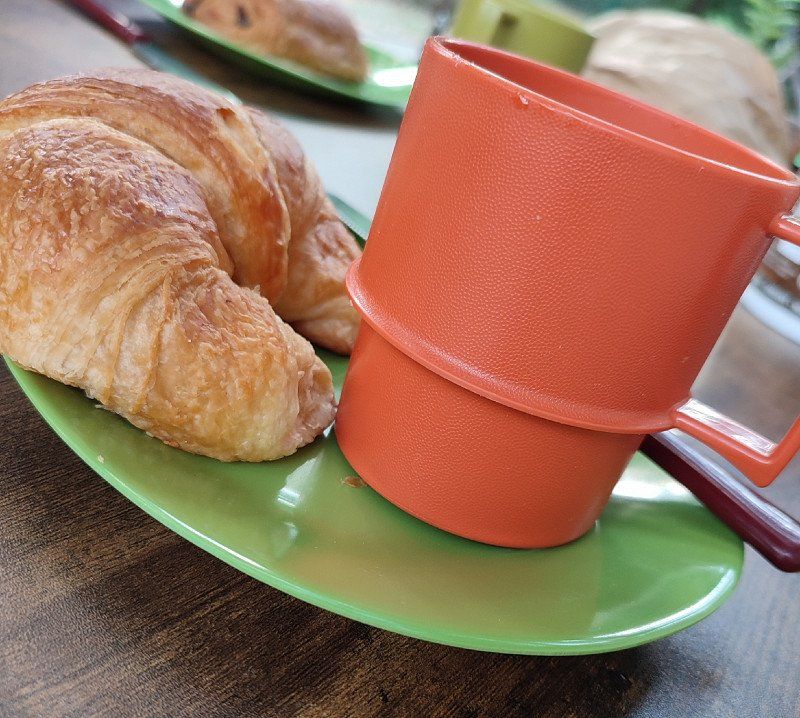
But this didn't stop me from walking and passing the bakery to get fresh croissants.
They were super tasty.
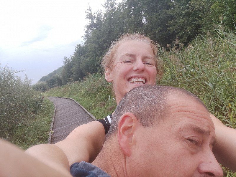
In the afternoon we went for another walk.
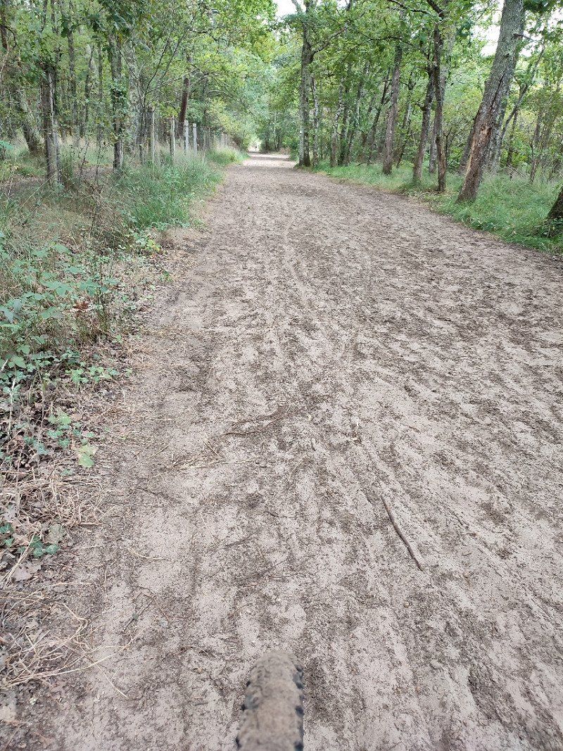
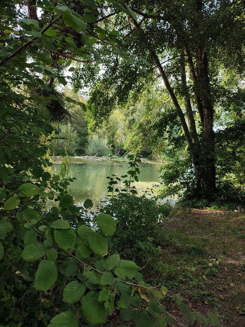
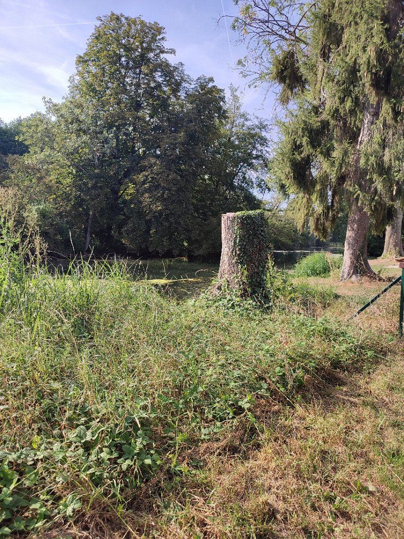
No more sun and no more rain. So ideal, and while walking I had discovered a road through the trees that led to various waterings ... beautiful piece of nature.
We ended up at the market for a coffee, a fresh cola and something delicious from the bakery.
And we ended with a nice dinner at the camper, a pleasant evening and it was time to return home.
Day
Woensdag 31 augustus 2022.
We left for Belgium around 9 am.
We still had quite a few kilometers to go, but it had been fun.
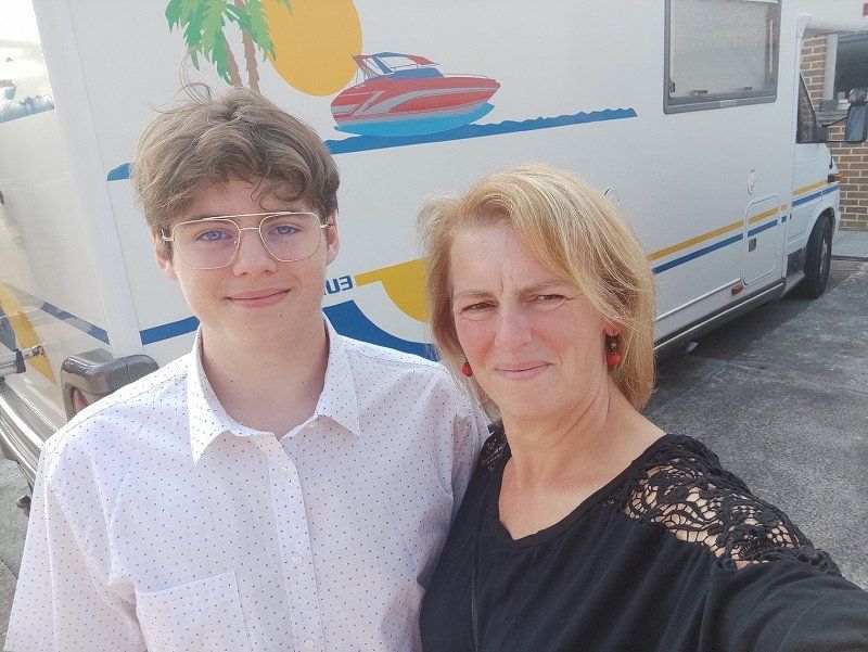
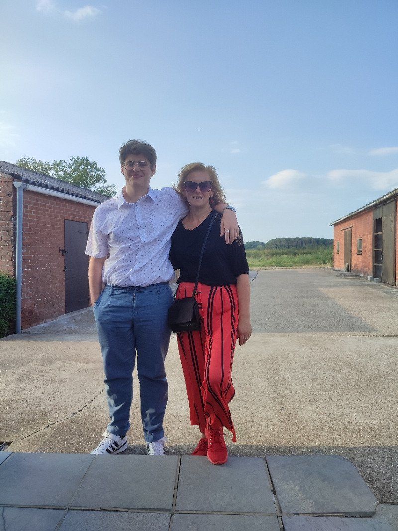
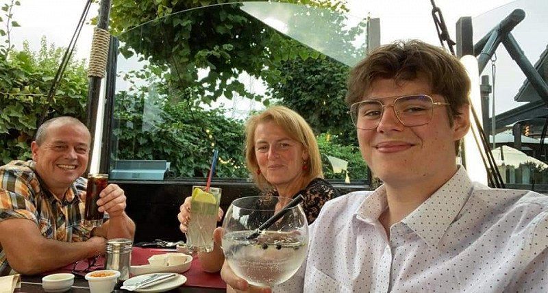
And we had planned a dinner with the son in the evening, because on September 1st a new chapter started for him and we wanted it with the three of us!!!
Oostkamp
We arrived home around 4 pm.
'Home sweet home'.
The first things were already taken out of the camper but the rest was for the next day, now it was time for Q time with the son and the dogs.
België
51° 9' 16.5" N 3° 14' 7.8" E
51.1545918 3.2355133