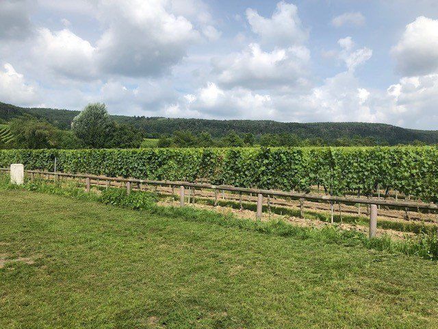
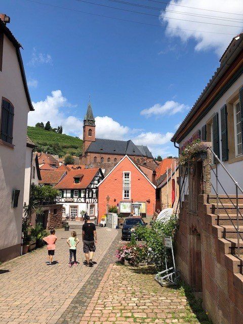
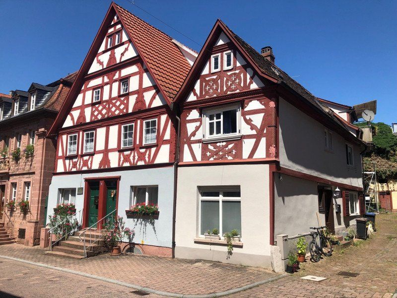
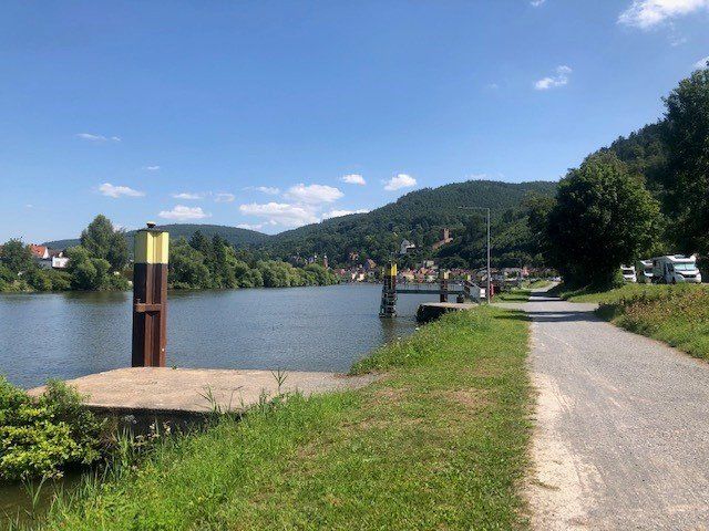
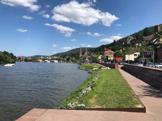
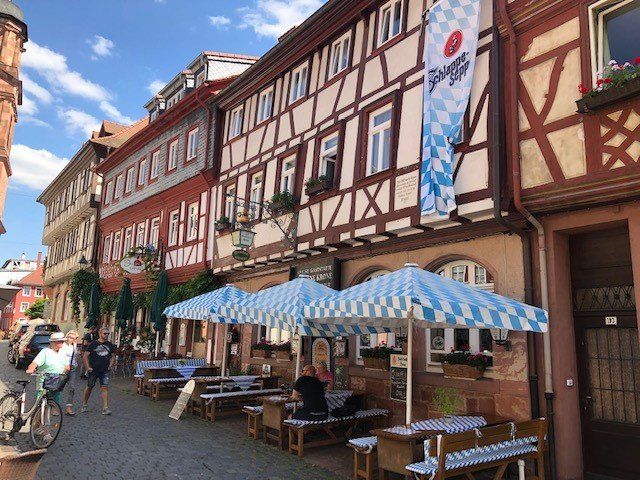
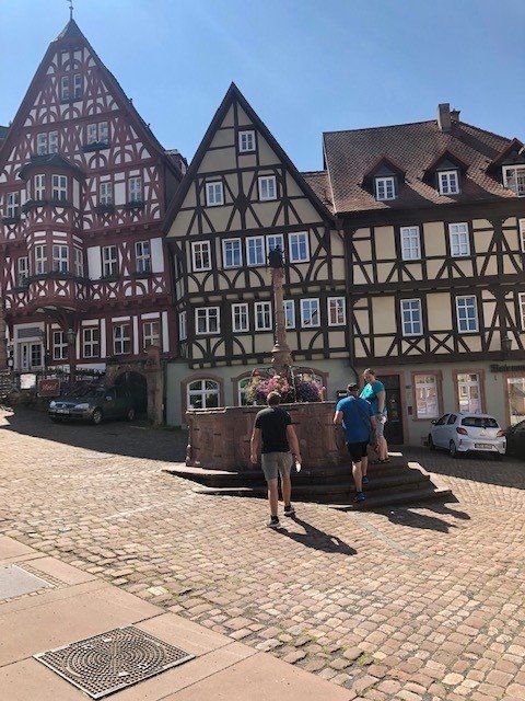
Spontaneously I had 1 week and used it to explore the Weinstrasse region and the Neckar Valley and Odenwald. I especially like Saint Martin! Don't miss out!
Day
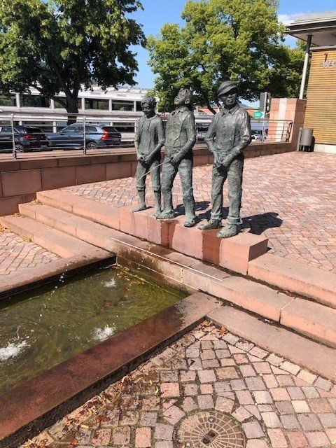
Siegen, Deutschland
50° 53' 1.9" N 8° 1' 15.5" E
50.8838492 8.0209591
• Head toward Haardtchenstraße on Wellersbergstraße. Go for 121 m.
• Turn right onto Haardtchenstraße. Go for 20 m.
• Continue on Saarbrücker Straße. Go for 175 m.
• Turn slightly left onto Wellersbergstraße. Go for 529 m.
• Turn right onto Freudenberger Straße (K10). Go for 87 m.
• Turn right onto Freudenberger Straße (L562). Go for 259 m.
• Take ramp onto Hüttentalstraße (B54/B62) toward Limburg/Altenkirchen/Si.-Eiserfeld/A45. Go for 6.4 km.
• Take the 2nd exit from roundabout onto Kölner Straße (B62). Go for 14.2 km.
• Keep left onto Kirchener Straße (B62) toward Siegen/Marburg. Go for 385 m.
• Keep right onto Friedrichstraße (L280) toward Frankfurt/A45/Daaden/Herdorf. Go for 174 m.
• Turn right onto Steinerother Straße (L288). Go for 17.7 km.
• Take ramp onto B414 toward Siegburg/Altenkirchen/Hachenburg. Go for 2.4 km.
• Take the 2nd exit from roundabout onto B413 toward A3/Koblenz/Hachenburg. Go for 7.0 km.
• Turn left onto Koblenzer Straße (B413) toward A3/Koblenz/Herschbach/Dierdorf/Mündersbach. Go for 3.0 km.
• Take the 2nd exit from roundabout onto Koblenzer Straße (B413) toward Köln-Frankfurt/A3/Koblenz/Roßbach. Go for 3.6 km.
• Turn left onto L307 toward Frankfurt/A3/Selters/Herschbach/Freirachdorf. Go for 11.1 km.
• Take the 3rd exit from roundabout onto L307. Go for 750 m.
• Take the 3rd exit from roundabout onto Rheinstraße (L307). Go for 575 m.
• Take the 3rd exit from roundabout onto A3 toward Frankfurt/Koblenz. Go for 2.5 km.
• Take exit 39 toward Trier/Koblenz onto A48. Go for 25.4 km.
• Take exit 9 toward Ludwigshafen/Mainz/Flughafen Hahn onto A61. Go for 6.4 km.
• Arrive at A61. Your destination is on the left.
☍
102,9 km
(1 hrs. 26 min.)
A61, Koblenz, Deutschland
50° 19' 9.2" N 7° 30' 6.5" E
50.3192293 7.5017989
• Head southwest on A61. Go for 63.7 km.
• Take exit 50 toward Frankfurt/Mainz/Ingelheim/Bingen-Ost onto A60. Go for 3.7 km.
• Take exit 13 toward Bingen-Kempten/Bingen-Ost Gewerbegebiet/Rüdesheim a.Rh. Fähre. Go for 404 m.
• Take the 2nd exit from roundabout onto L419. Go for 1.8 km.
• Turn right onto Mainzer Straße. Go for 76 m.
• Arrive at Mainzer Straße.
☍
69,7 km
( 42 min.)
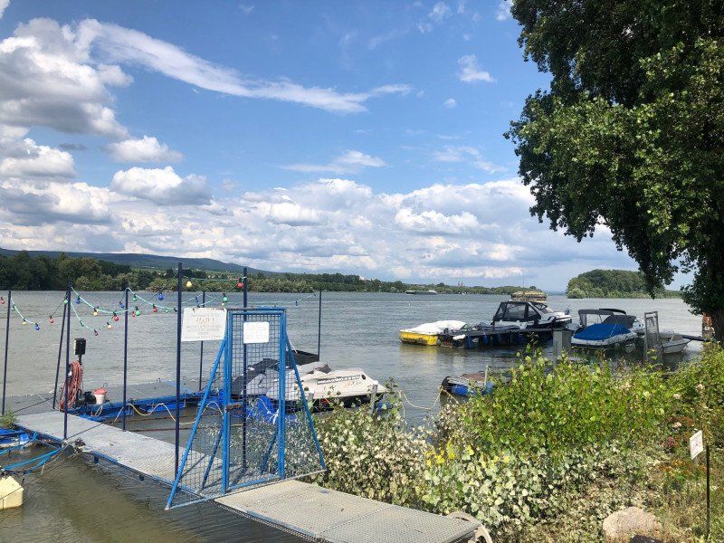
Campingplatz “Hindenburgbrücke”
Bornstrasse 22, 55411, Bingen-Kempten, Deutschland
49° 58' 10.6" N 7° 56' 26.7" E
49.9696200 7.9407500
• Head south on Mainzer Straße. Go for 76 m.
• Turn left onto Mainzer Straße (L419). Go for 1.8 km.
• Take ramp. Go for 27 m.
• Take the 3rd exit from roundabout onto A60 toward St. Goar/Bingen/Rüdesheim a.Rh./Koblenz/Ludwigshafen/A61. Go for 3.5 km.
• Take the left exit toward Ludwigshafen/Bad Kreuznach onto A61. Go for 64.1 km.
• Take exit 60 toward Bad Dürkheim onto A650. Go for 6.4 km.
• Continue on B37. Go for 3.6 km.
• Continue on B37 toward Kaiserslautern/Bad Dürkheim/Stadtmitte/B271. Go for 1.4 km.
• Take the 1st exit from Wurstmarktkreisel roundabout onto L517. Go for 416 m.
• Arrive at L517. Your destination is on the right.
☍
81,2 km
( 49 min.)
Day
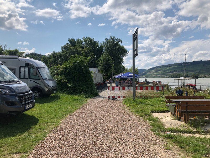
Stellplatz in der Silz
L 517 Leistadter Straße, 67098, Bad Dürkheim, Deutschland
49° 28' 10" N 8° 10' 3" E
49.4694444 8.1675000
• Head south on L517. Go for 405 m.
• Take the 3rd exit from Wurstmarktkreisel roundabout onto Weinstraße Nord (B37). Go for 2.3 km.
• Turn right onto B271 toward Neustadt/Weinstr./A65/Bad Dürkheim-Süd. Go for 279 m.
• Turn left onto B271. Go for 11.0 km.
• Take the left exit toward Karlsruhe/Neustadt/Weinstr. onto A65. Go for 2.9 km.
• Take exit 12 toward Neustadt/Weinstr.-Nord/Neustadt/Weinstr.-Zentrum/Lambrecht. Go for 980 m.
• Continue on B38. Go for 782 m.
• Take the 2nd exit from roundabout onto B38 toward Kaiserslautern/B39/Lambrecht/Neustadt/Weinstr./Zentrum. Go for 1.4 km.
• Take the 3rd exit from roundabout onto Mußbacher Landstraße (B38) toward Kaiserslautern/Neustadt/Weinstraße. Go for 425 m.
• Turn left onto Martin-Luther-Straße (K23) toward Landau/Speyer/Krankenhaus. Go for 1.1 km.
• Turn right onto Friedrich-Ebert-Straße. Go for 277 m.
• Turn left onto Bismarckstraße. Go for 105 m.
• Turn left onto Gartenstraße. Go for 109 m.
• Arrive at Gartenstraße. Your destination is on the right.
☍
22,0 km
( 22 min.)
Day
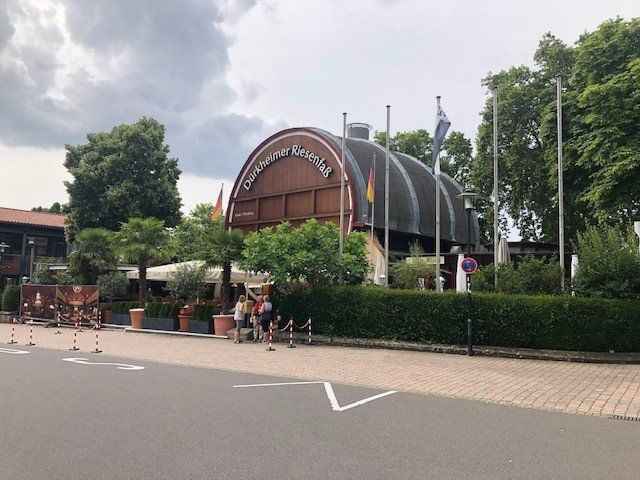
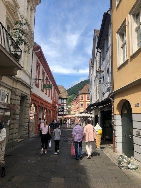
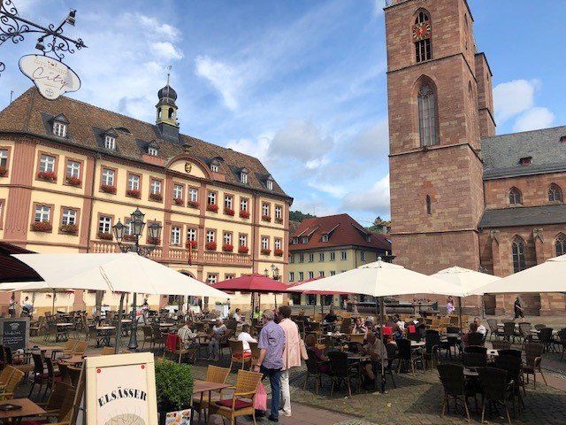
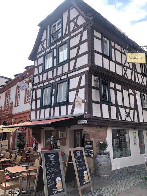
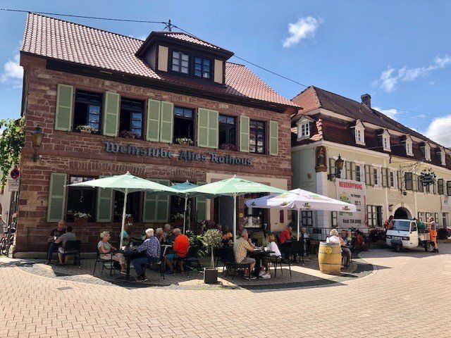
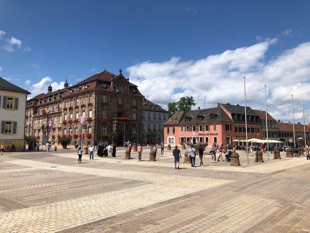
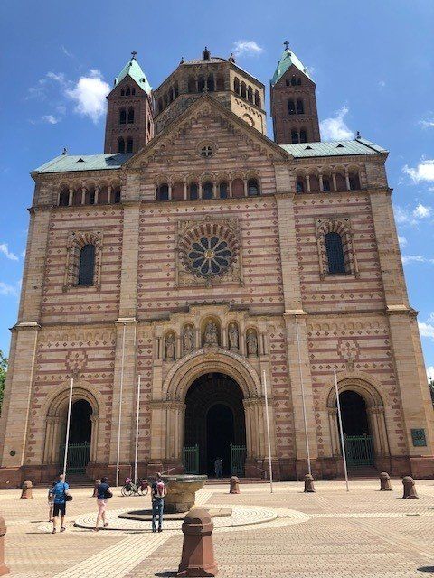
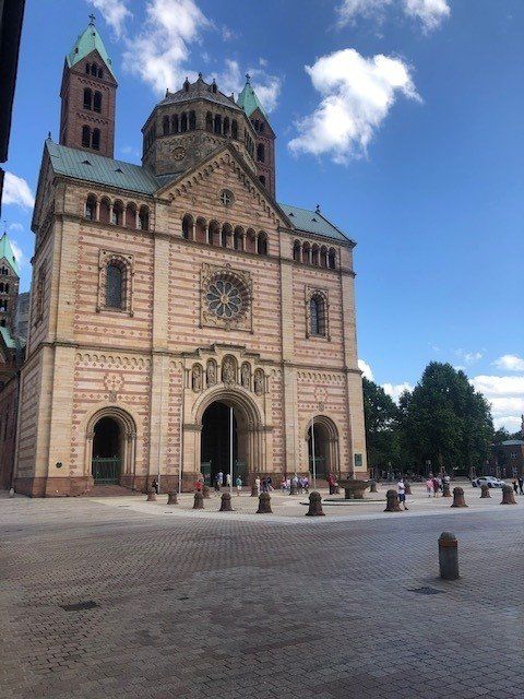
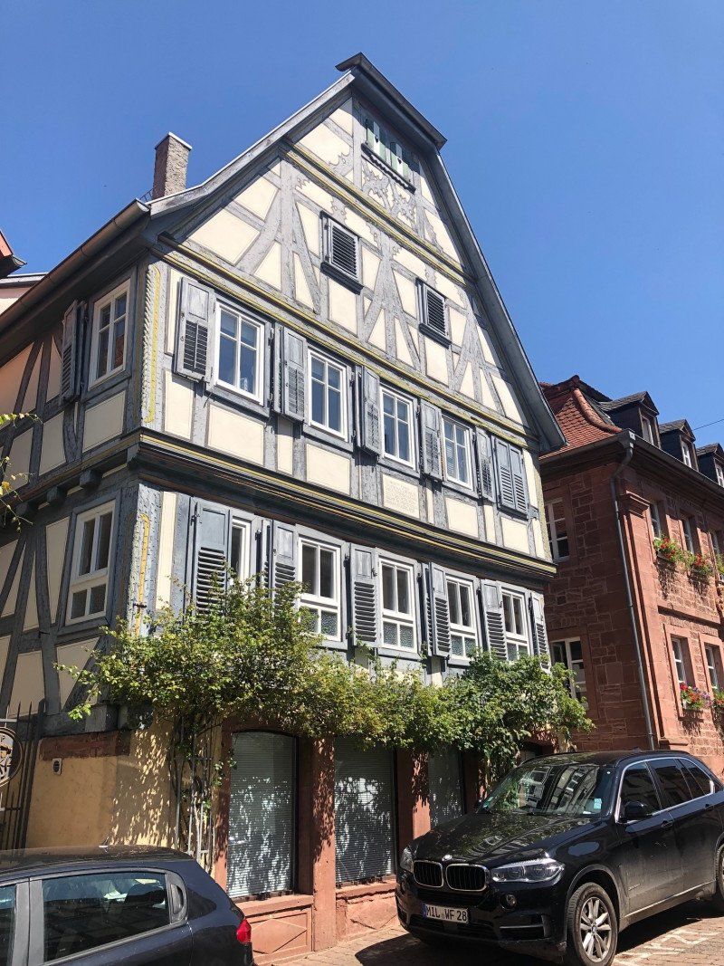
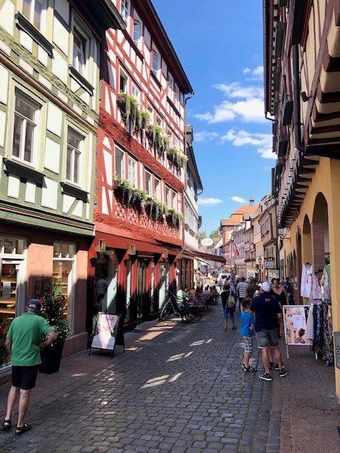
Neustadt an der Weinstraße, Deutschland
49° 21' 0.7" N 8° 8' 55.3" E
49.3501864 8.1486886
• Head southeast on Gartenstraße. Go for 210 m.
• Turn right onto Martin-Luther-Straße (K23). Go for 101 m.
• Continue on Winzinger Straße (K23). Go for 253 m.
• Turn left onto Landauer Straße (B39). Go for 691 m.
• Take the 2nd exit from roundabout onto Landauer Straße (B39). Go for 375 m.
• Continue on Landauer Straße (L516) toward Landau/NW-Diedesfeld/NW-Hambach/Hambacher Schloß/Gewerbegebiet Landauer Straße Süd. Go for 3.8 km.
• Take the 2nd exit from roundabout onto L516 toward Karlsruhe/A65/Landau/Edenkoben. Go for 853 m.
• Take the 1st exit from roundabout onto An der Südumgehung (K32) toward Maikammer-Süd/Maikammer. Go for 636 m.
• Take the 2nd exit from roundabout onto An der Südumgehung (K32) toward St. Martin. Go for 319 m.
• Continue on K32. Go for 292 m.
• Take the 2nd exit from roundabout onto Sankt-Martiner-Straße (K32) toward St. Martin. Go for 188 m.
• Continue on K32. Go for 922 m.
• Turn right onto Totenkopfstraße (L514) toward Elmstein. Go for 349 m.
• Turn left onto Friedhofstraße. Go for 130 m.
• Arrive at Friedhofstraße. Your destination is on the left.
☍
9,1 km
( 12 min.)
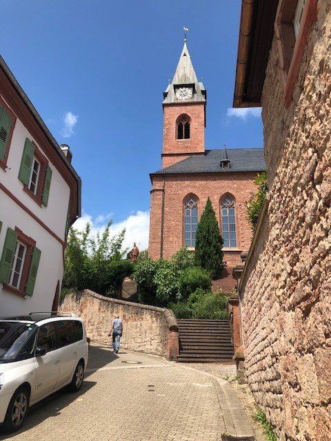
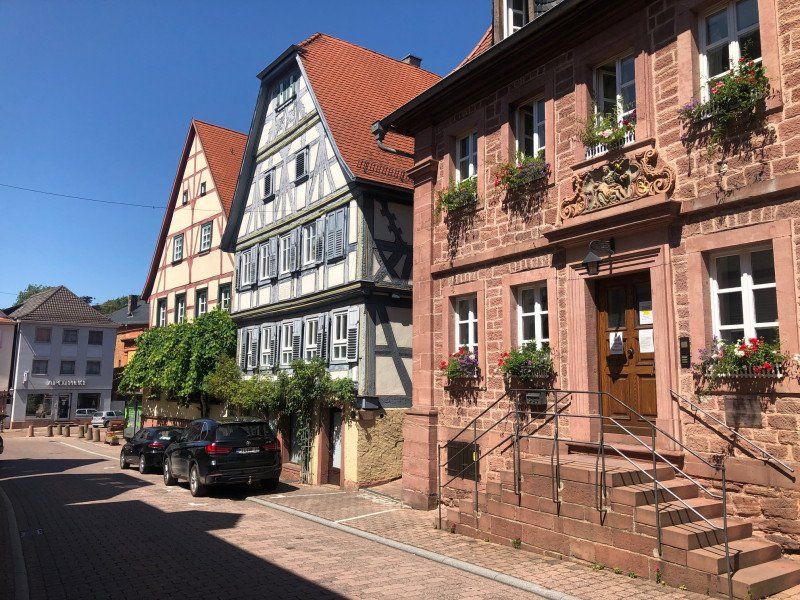
Friedhofstraße 8, Sankt Martin, Deutschland
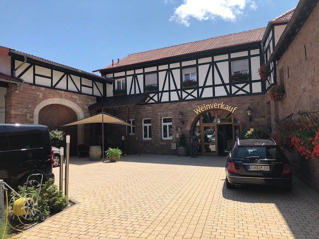
Schreieck Winery, Friedhofstrasse
Friedhofstraße 8, 67487 St. Martin, Deutschland
49° 18' 1.5" N 8° 6' 18.8" E
49.3004116 8.1052300
• Head toward Totenkopfstraße on Friedhofstraße. Go for 130 m.
• Turn right onto Totenkopfstraße (L514). Go for 349 m.
• Turn left onto K32 toward Maikammer. Go for 922 m.
• Continue on Sankt-Martiner-Straße (K32). Go for 126 m.
• Take the 2nd exit from roundabout onto K32 toward A65/Landau/Edenkoben. Go for 332 m.
• Continue on An der Südumgehung (K32). Go for 271 m.
• Take the 2nd exit from roundabout onto An der Südumgehung (K32) toward A45/Landau/Neustadt/Weinstr./Edenkoben. Go for 651 m.
• Take the 2nd exit from roundabout onto L516. Go for 870 m.
• Take the 2nd exit from roundabout onto L516 toward Ludwigshafen/A65/Neustadt/Weinstr. Go for 2.8 km.
• Turn right onto K9 toward NW-Lachen-Speyerdorf. Go for 1.5 km.
• Turn right onto B39 toward A65/Speyer. Go for 787 m.
• Take the 2nd exit from roundabout onto B39 toward Speyer/NW-Geinsheim. Go for 17.7 km.
• Take ramp onto B9/B39 toward A5/A6/Heilbronn/Germersheim/Speyer-Zentrum. Go for 582 m.
• Take ramp onto B39 toward Heidelberg/Speyer-Zentrum Gewerbegebiet/Speyer-Süd/Dom/Museen/Flughafen/Krankenhaus Diak. Go for 2.8 km.
• Take ramp toward Speyer-Zentrum/Flughafen/Gewerbegebiet-Süd/Krankenhaus Diakonissen/Dom/Mussen. Go for 197 m.
• Continue on Am Technik Museum (K2). Go for 396 m.
• Arrive at Am Technik Museum (K2). Your destination is on the left.
☍
30,3 km
( 28 min.)
Day
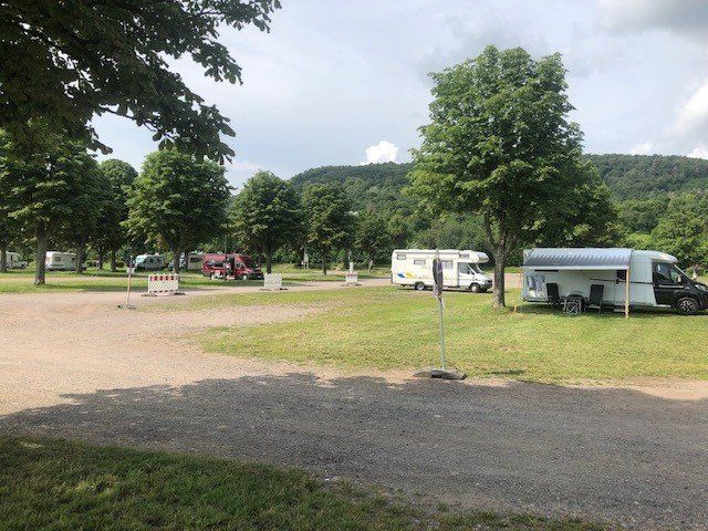
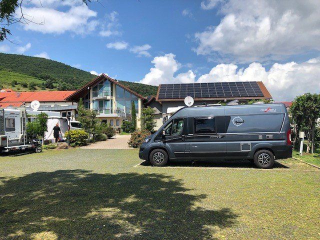
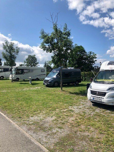
Caravanpark am Technik Museum
Am Technik Museum 1, 67346, Speyer, Deutschland
49° 18' 49" N 8° 26' 48" E
49.3136111 8.4466667
• Head north on Am Technik Museum (K2).
• Turn right onto Geibstraße. Go for 48 m.
• Turn right onto Am Technik Museum. Go for 217 m.
• Turn right onto Am Technik Museum. Go for 75 m.
• Arrive at Am Technik Museum. Your destination is on the right.
☍
0,3 km
( 1 min.)
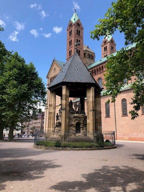
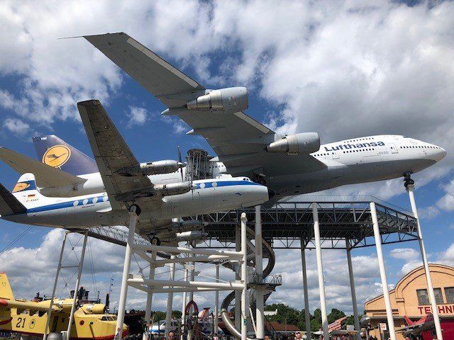
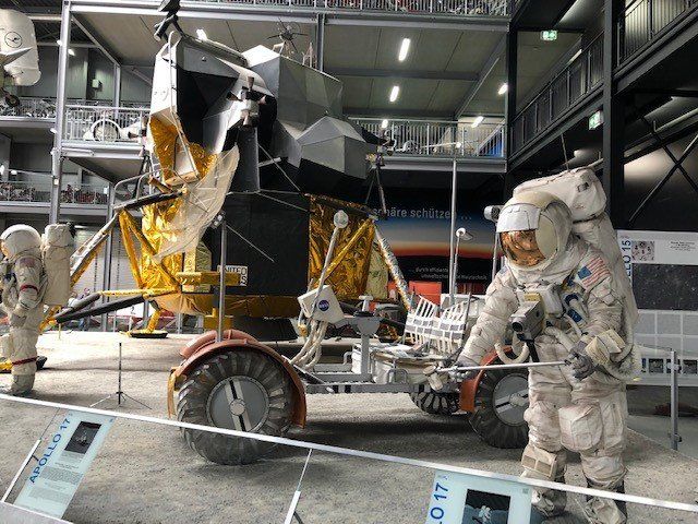
Technik Museum Speyer, Am Technik Museum, Speyer, Deutschland
Am Technik Museum 1, 67346 Speyer, Deutschland
49° 18' 41.1" N 8° 26' 49.8" E
49.3114076 8.4471718
• Head west on Am Technik Museum. Go for 142 m.
• Turn right onto Am Technik Museum. Go for 117 m.
• Turn right onto Heinkelstraße (K3). Go for 357 m.
• Turn right onto Industriestraße (K3). Go for 267 m.
• Turn left and take ramp. Go for 208 m.
• Continue on B39. Go for 1.9 km.
• Continue on L722 toward A61/Heidelberg/Schwetzingen/Hockenheim/Gewerbegebiet Talhaus. Go for 2.8 km.
• Take ramp onto A61 toward Heilbronn/Karlsruhe/Mannheim. Go for 3.3 km.
• Take exit 65 toward Frankfurt/Mannheim onto A6. Go for 8.9 km.
• Take exit 28 toward Schwetzingen-Nord onto B535 (Mannheimer Landstraße). Go for 12.8 km.
• Turn right onto Gottlieb-Daimler-Straße. Go for 168 m.
• Turn left. Go for 91 m.
• Arrive at your destination on the left.
☍
31,1 km
( 27 min.)
Day
Fritz Berger Heidelberg, Carl-Benz-Straße 6, 69115 Heidelberg, Deutschland
Carl-Benz-Straße 6, 69115 Heidelberg, Deutschland
49° 23' 54.9" N 8° 40' 42.7" E
49.3985891 8.6785307
• Head toward Gottlieb-Daimler-Straße. Go for 91 m.
• Turn right onto Gottlieb-Daimler-Straße. Go for 168 m.
• Turn right onto Speyerer Straße (L600A). Go for 468 m.
• Continue on Ringstraße toward Eberbach/B37/Neckargemünd/Zentrum. Go for 467 m.
• Continue on Römerkreis. Go for 66 m.
• Keep right onto Kurfürsten-Anlage. Go for 592 m.
• Continue on Adenauerplatz (B3) toward Eberbach/B37/Königstuhl. Go for 85 m.
• Keep right onto Adenauerplatz (K9708) toward Eberbach/B37/Königstuhl. Go for 825 m.
• Keep left onto Friedrich-Ebert-Anlage toward Eberbach/B37/Neckargemünd. Go for 197 m.
• Continue on Schloßbergtunnel. Go for 992 m.
• Continue on Am Karlstor toward Eberbach/Neckargemünd. Go for 68 m.
• Continue on Schlierbacher Landstraße (B37). Go for 7.9 km.
• Turn slightly left onto An der Friedensbrücke (B37) toward Mosbach/Eberbach/B45. Go for 364 m.
• Turn right onto Ziegelhäuser Straße (B37) toward B45. Go for 784 m.
• Take the 1st exit from roundabout onto Neckarsteinacher Straße (B37) toward Mosbach/Eberbach/B45. Go for 17.7 km.
• Turn left onto Hirschhorner Landstraße (L2311) toward Amorbach/Mudau/Waldbrunn/Gewerbegebiet-West/Gewerbegebiet-Ost. Go for 683 m.
• Turn right onto Güterbahnhofstraße toward Klinik/Altstadt Ost. Go for 641 m.
• Turn left onto Odenwaldstraße. Go for 202 m.
• Continue on Friedrichsdorfer Landstraße. Go for 68 m.
• Turn left onto Friedensweg. Go for 229 m.
• Arrive at your destination.
☍
32,6 km
( 41 min.)
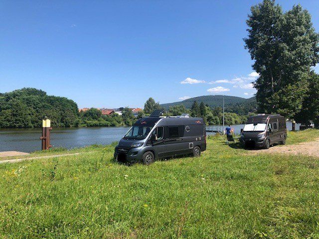
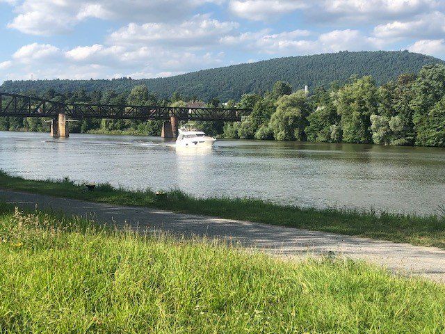
Eberbach, Deutschland
49° 28' 10.1" N 8° 59' 23.4" E
49.4694813 8.9898436
• Head east. Go for 150 m.
• Continue on Friedensweg. Go for 79 m.
• Turn right onto Friedrichsdorfer Landstraße. Go for 68 m.
• Continue on Odenwaldstraße. Go for 361 m.
• Continue on Neuer Markt. Go for 58 m.
• Continue on Neckarstraße. Go for 38 m.
• Turn right onto Brückenstraße. Go for 235 m.
• Take the 2nd exit from roundabout onto Neckarstraße (L595) toward B37/Zentrum. Go for 233 m.
• Turn left onto B37 toward Heilbronn/Mosbach/Eberb.-Lindach. Go for 11.2 km.
• Turn left onto Hauptstraße (L527) toward Waldbrunn/Reichenbuch/Neckargerach/Flughafen/Katzenbuckel. Go for 514 m.
• Turn right onto Reichenbucher Straße (L527). Go for 5.6 km.
• Turn left onto L527. Go for 3.9 km.
• Take the 1st exit from roundabout onto Hammerweg. Go for 209 m.
• Arrive at Hammerweg. Your destination is on the right.
☍
22,6 km
( 25 min.)
Mosbach, Deutschland
74821 Mosbach, Deutschland
49° 20' 56.1" N 9° 7' 45.8" E
49.3489153 9.1293829
• Head toward Unterm Hamberg on Hammerweg. Go for 32 m.
• Turn right toward Hammerweg. Go for 75 m.
• Turn left onto Hammerweg. Go for 296 m.
• Take the 1st exit from roundabout onto Am Henschelberg (L527). Go for 687 m.
• Take the 2nd exit from roundabout onto Eisenbahnstraße (L527). Go for 550 m.
• Turn left onto Odenwaldstraße (B27/B292). Go for 401 m.
• Continue on Odenwaldstraße (B27/B292) toward Würzburg/Bad Mergentheim. Go for 24.9 km.
• Turn right and take ramp. Go for 332 m.
• Turn right onto L582. Go for 804 m.
• Turn right onto Eberstadter Straße (L522). Go for 579 m.
• Turn right onto Schüttstraße (L522). Go for 83 m.
• Take the 2nd exit from roundabout onto Am Haag (K3968). Go for 365 m.
• Arrive at Am Haag (K3968). Your destination is on the left.
☍
29,1 km
( 29 min.)
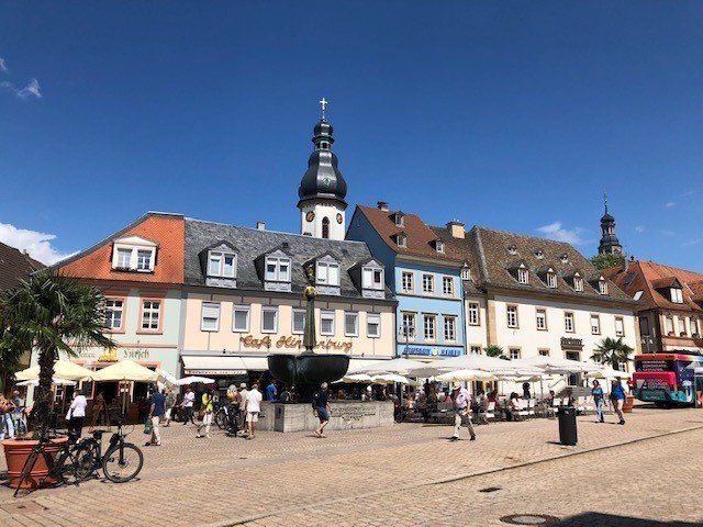
Buchen (Odenwald), Deutschland
74722 Buchen, Deutschland
49° 31' 26.9" N 9° 19' 30.1" E
49.5241354 9.3250344
• Head northwest on Am Haag (K3968).
• Take the 3rd exit from roundabout onto Walldürner Straße (K3917). Go for 319 m.
• Take the 2nd exit from roundabout onto Am Schrankenberg (K3917). Go for 504 m.
• Take the 1st exit from roundabout onto Dr.-Konrad-Adenauer-Straße (L585). Go for 8.0 km.
• Take the 2nd exit from roundabout onto L585. Go for 487 m.
• Arrive at Rumpfener Straße (L585). Your destination is on the right.
☍
9,3 km
( 9 min.)
Mudau, Deutschland
69427 Mudau, Deutschland
49° 31' 58" N 9° 12' 21.2" E
49.5327851 9.2058951
• Head northwest on Rumpfener Straße (L585). Go for 224 m.
• Take the 1st exit from roundabout onto Raiffeisenstraße (L523). Go for 378 m.
• Continue on Amorbacher Straße (K3971). Go for 5.3 km.
• Continue on MIL42. Go for 5.1 km.
• Turn right onto Amorbacher Straße (St2311). Go for 2.9 km.
• Turn left onto Schloßplatz. Go for 213 m.
• Turn slightly right onto Schmiedsgasse. Go for 108 m.
• Turn slightly right onto Am Stadttor. Go for 10 m.
• Arrive at Am Stadttor. Your destination is on the right.
☍
14,3 km
( 13 min.)
Amorbach, Deutschland
49° 38' 39.4" N 9° 13' 8.8" E
49.6442913 9.2191083
• Head northeast on Am Stadttor. Go for 37 m.
• Continue on Marktplatz. Go for 18 m.
• Turn right onto Marktplatz. Go for 25 m.
• Continue on Johannisturmstraße. Go for 48 m.
• Turn right onto Geisgraben. Go for 52 m.
• Continue on Löhrstraße. Go for 64 m.
• Turn right onto Miltenberger Straße. Go for 269 m.
• Take the 2nd exit from roundabout onto Ortsumgehungsstraße (B47) toward A3/Michelstadt/Aschaffenburg/Miltenberg. Go for 1.1 km.
• Continue on B469. Go for 1.9 km.
• Take the 1st exit from roundabout onto B469 toward A3/Frankfurt/Aschaffenburg/Miltenberg/Weilbach. Go for 4.9 km.
• Take ramp toward Würzburg/A3/Miltenberg-Nord/Großheubach. Go for 192 m.
• Take the 1st exit from roundabout toward Miltenberg/Krankenhaus. Go for 68 m.
• Continue on MIL4. Go for 1.8 km.
• Arrive at Mainzer Straße (MIL4). Your destination is on the left.
☍
10,4 km
( 10 min.)
Mainzer Straße 26, Miltenberg, Deutschland
Mainzer Str. 26, 63897 Miltenberg, Deutschland
49° 42' 9.6" N 9° 14' 23.6" E
49.7026715 9.2399023
• Head northwest on Mainzer Straße (MIL4). Go for 1.9 km.
• Take the 4th exit from roundabout onto B469 toward Amorbach/Mainbullau. Go for 5.3 km.
• Take the 2nd exit from roundabout onto B469 toward Vielbach/Weckbach. Go for 1.9 km.
• Turn right onto B47 toward Michelstadt/Boxbrunn/Amorbach-West/Gewerbegebiet Weilbach-Süd. Go for 20.1 km.
• Turn right onto B45/B47 toward Worms/Dieburg/Michelstadt/Bad König. Go for 762 m.
• Turn right onto Hammerweg toward Michelstadt/Zentrum/Historisches Rathaus. Go for 107 m.
• Turn left onto Wiesenweg. Go for 311 m.
• Continue on Wiesenweg. Go for 52 m.
• Turn right onto Bahnhofstraße. Go for 107 m.
• Arrive at Bahnhofstraße. Your destination is on the right.
☍
30,5 km
( 30 min.)
Day
Michelstadt, Deutschland
64720 Michelstadt, Deutschland
49° 40' 47.9" N 9° 0' 15" E
49.6799613 9.0041618
• Head toward Große Gasse on Bahnhofstraße. Go for 19 m.
• Turn left onto Schulstraße. Go for 357 m.
• Turn left onto Waldstraße. Go for 766 m.
• Continue on Im Fürstenauer Forst (K92). Go for 553 m.
• Continue on K92. Go for 3.3 km.
• Continue on Dorfstraße (K92). Go for 341 m.
• Turn left onto An den Hauswiesen (K92). Go for 572 m.
• Continue on Außerhalb (K92). Go for 1.7 km.
• Continue on Momart Außenliegend (K92). Go for 1.0 km.
• Continue on Heuselsmühle (K92). Go for 220 m.
• Continue on Weiten-Gesäßer-Straße (K92). Go for 817 m.
• Continue on Momarter Straße (K91). Go for 483 m.
• Turn right onto Königer Straße (K91). Go for 115 m.
• Turn left onto L3414. Go for 424 m.
• Turn right onto B45. Go for 6.9 km.
• Take the 2nd exit from roundabout onto Westumgehung Höchst (B45) toward Darmstadt/Dieburg/Brensbach/Höchst-Mitte. Go for 17.5 km.
• Continue on Groß-Umstädter Straße toward Darmstadt/Dieburg. Go for 285 m.
• Take the 2nd exit from roundabout onto Groß-Umstädter Straße toward Dieburg. Go for 436 m.
• Arrive at Groß-Umstädter Straße.
☍
35,9 km
( 38 min.)
Groß-Umstädter Straße, Dieburg, Deutschland
Groß-Umstädter Str., 64807 Dieburg, Deutschland
49° 53' 45.2" N 8° 51' 9.6" E
49.8958764 8.8526696
• Head toward Max-Planck-Straße on Groß-Umstädter Straße. Go for 400 m.
• Take the 3rd exit from roundabout onto K128 toward Babenhausen/DI-Gewerbegebiet Nord/Campus Dieburg. Go for 2.2 km.
• Turn right onto B26 toward Darmstadt/Hanau/Frankfurt. Go for 84 m.
• Take ramp onto B45 toward Hanau/Frankfurt/Gewerbegebiet Dieburg-Nord. Go for 19.5 km.
• Take ramp onto A3 toward Köln/Frankfurt/Flughafen/Offenbach. Go for 85.3 km.
• Take exit 42 toward Limburg-Nord onto B49/B54. Go for 1.7 km.
• Take ramp onto A3 toward Frankfurt/Wiesbaden. Go for 2.2 km.
• Arrive at Lahntalbrücke (A3).
☍
111,3 km
(1 hrs. 4 min.)
A3, Limburg, Deutschland
A3, Limburg an der Lahn, Deutschland
50° 23' 12.4" N 8° 4' 53.5" E
50.3867758 8.0815198
• Head southeast on A3 (Lahntalbrücke). Go for 238 m.
• Take exit 43 toward Limburg-Süd/Bahnhof ICE/Selters/Brechen. Go for 423 m.
• Continue on B8. Go for 590 m.
• Turn right and take ramp onto A3 toward Köln. Go for 1.6 km.
• Take exit 42 toward Gießen onto B49/B54. Go for 5.5 km.
• Take ramp onto B54 toward Siegen/Rennerod/Dornburg/Hadamar. Go for 15.4 km.
• Pass 5 roundabouts and continue on B54. Go for 27.1 km.
• Take the 3rd exit from roundabout onto A45 toward Dortmund/Siegen. Go for 18.6 km.
• Take exit 21 toward Siegen/Si.-Eiserfeld/Kreuztal/Netphen/B62. Go for 879 m.
• Continue on Talbrücke Achenbach. Go for 731 m.
• Turn left toward SI-Achenbach/Gewerbegebiet Heidenberg. Go for 385 m.
• Continue on Wallhausenstraße. Go for 892 m.
• Take the 1st exit from roundabout onto Achenbacher Straße (L533). Go for 784 m.
• Turn left onto Hubertusweg (K2). Go for 1.9 km.
• Turn left onto Blauwunderstraße. Go for 43 m.
• Turn right onto Haardtchenstraße. Go for 169 m.
• Turn right onto Obenstruthstraße. Go for 19 m.
• Turn left onto Haardtchenstraße. Go for 155 m.
• Continue on Wellersbergstraße. Go for 121 m.
• Arrive at Wellersbergstraße. Your destination is on the right.
☍
75,6 km
(1 hrs. 6 min.)
Siegen, Deutschland
50° 53' 1.9" N 8° 1' 15.5" E
50.8838492 8.0209591