Have a nice week away to the Moselle
Route made with ANWB camper book Europe
Day
Garderen, Nederland
Oud Milligenseweg 3818, 3886 MG Garderen, Nederland
52° 13' 33.8" N 5° 43' 1.7" E
52.2260643 5.7171403
• Head toward Garderense Engweg on Oud Milligenseweg. Go for 41 m.
• Turn left onto Garderense Engweg. Go for 282 m.
• Turn right onto Oud Milligenseweg. Go for 866 m.
• Turn right onto Apeldoornsestraat (N310/N344). Go for 1.3 km.
• Take the 3rd exit from roundabout onto Provincialeweg (N310). Go for 1.8 km.
• Pass 3 roundabouts and continue on N310. Go for 21.7 km.
• Turn right onto Koningsweg (N310). Go for 2.3 km.
• Turn right onto Amsterdamseweg (N224). Go for 1.4 km.
• Turn left and take ramp onto A12 toward Nijmegen/Zwolle/Oberhausen. Go for 1.0 km.
• Take the exit toward Eindhoven/Nijmegen/Arnhem-Zuid onto A50. Go for 76.9 km.
• Continue on A2 (Knooppunt Ekkersweijer). Go for 107 km.
• Continue on E25. Go for 2.3 km.
• Take exit 2 toward Oupeye/Visé/N653. Go for 338 m.
• Turn left toward Visé/N653/Haccourt/Maastricht. Go for 148 m.
• Take the 2nd exit from roundabout onto Rue de Jupille (N653). Go for 223 m.
• Take the 1st exit from Place du Marché roundabout onto Rue de Dalhem (N604). Go for 1.3 km.
• Continue on Rue Henri Francotte (N604). Go for 299 m.
• Continue on Rue de Visé (N604). Go for 1.3 km.
• Continue on Rue du Bourgmestre H. Francotte (N604). Go for 518 m.
• Take the 1st exit from roundabout onto Rue Gervais Toussaint (N604). Go for 2.6 km.
• Turn left onto Voie du Pont. Go for 466 m.
• Turn left onto Rue Supexhe. Go for 1.1 km.
• Continue on Rue Trembleur. Go for 7 m.
• Continue on Rue de Trembleur. Go for 601 m.
• Take the 1st exit from roundabout onto Rue Lambert Marlet. Go for 347 m.
• Arrive at Rue Lambert Marlet.
☍
226,4 km
(2 hrs. 17 min.)
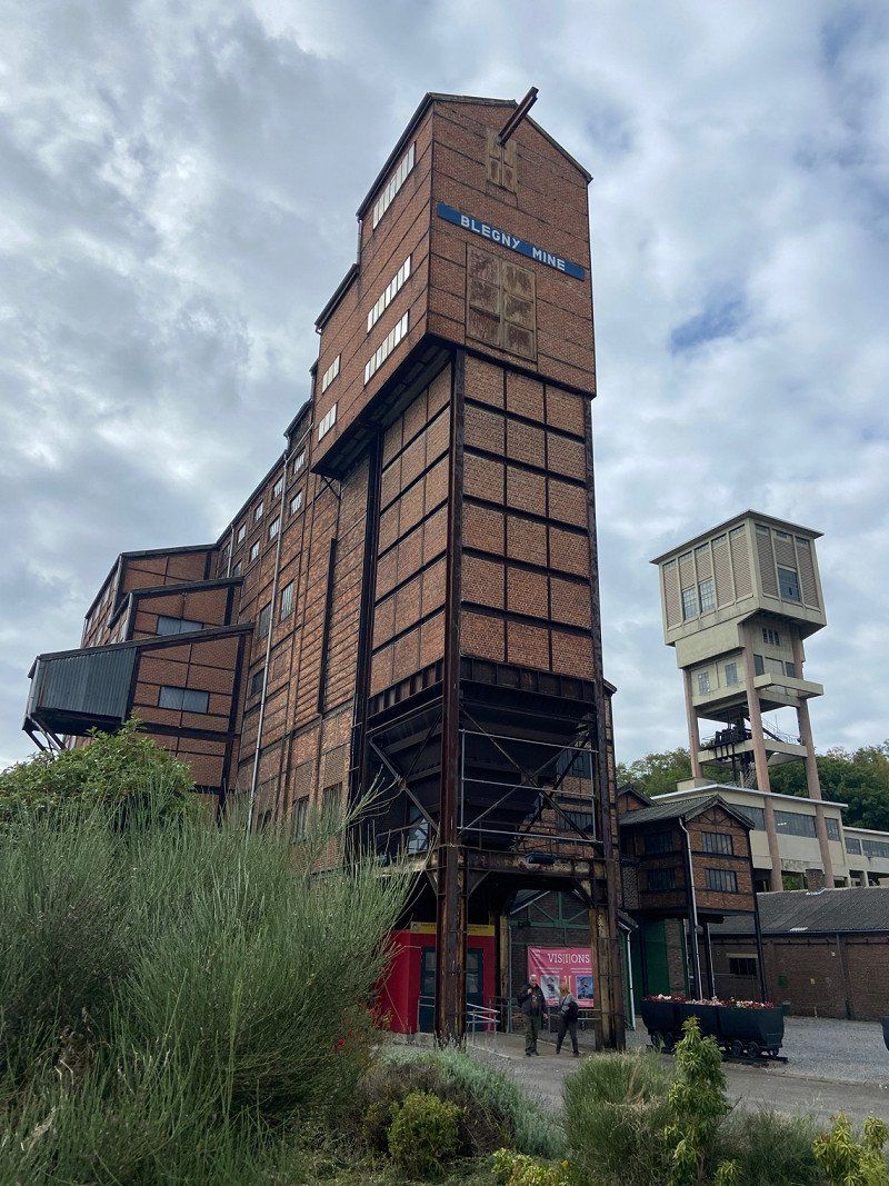
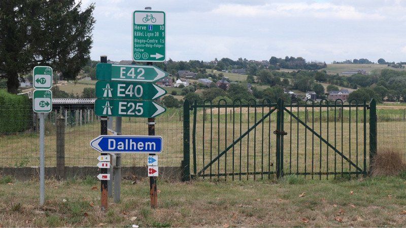
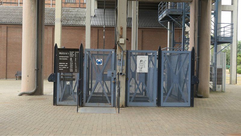
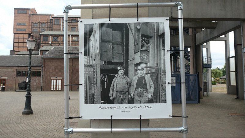
Rue Lambert Marlet 23, Blegny, België
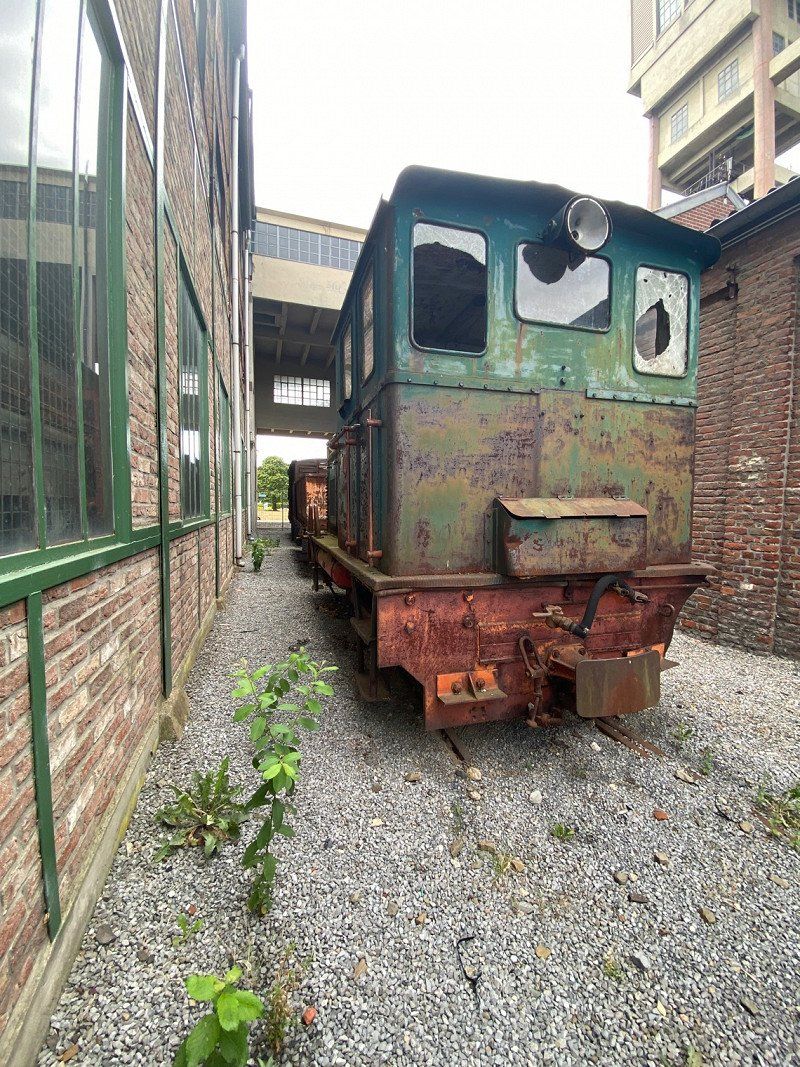
Parking of Coal Mine €0.00
Definitely worth it
Rue Lambert Marlet 23, 4670 Blégny, België
50° 41' 10.7" N 5° 43' 19.3" E
50.6863125 5.7220145
• Head north on Rue Lambert Marlet. Go for 318 m.
• Take the 1st exit from roundabout onto Rue Richelette. Go for 1.3 km.
• Turn left onto Route de Blégny (N642). Go for 615 m.
• Continue on Rue du Village (N642). Go for 121 m.
• Turn right onto Rue Haisse. Go for 673 m.
• Continue on Rue du Tiège. Go for 698 m.
• Continue on Rue Hacboister. Go for 735 m.
• Continue on Rue Tiège Neuve Cour. Go for 266 m.
• Continue on Dix Bonniers. Go for 580 m.
• Turn right onto Rue de Maestricht (N627). Go for 4.2 km.
• Turn left onto Place du Marché (N3) toward E40/E42/Aubel/Thimister-Clermont. Go for 1.0 km.
• Keep right onto E42 toward Liège/E40/Aachen/Verviers. Go for 61.3 km.
• Continue on A60 (Ourtalbrücke). Go for 37.3 km.
• Take exit 6 toward Luxembourg/Bitburg onto B51. Go for 36.7 km.
• Turn left onto Kölner Straße (B51) toward Saarbrücken/Luxemburg/B49. Go for 856 m.
• Take the 2nd exit from roundabout onto Luxemburger Straße (B51) toward Saarbrücken/B49/Centrum/Gewerbegebiet TR-Euren. Go for 1.4 km.
• Turn left and take ramp toward Saarbrücken/Centrum. Go for 199 m.
• Keep right toward In den Moselauen. Go for 180 m.
• Turn left onto In den Moselauen. Go for 46 m.
• Turn left and take ramp. Go for 24 m.
• Arrive at your destination on the left.
☍
148,5 km
(1 hrs. 35 min.)
Day
In den Moselauen, Trier, Duitsland
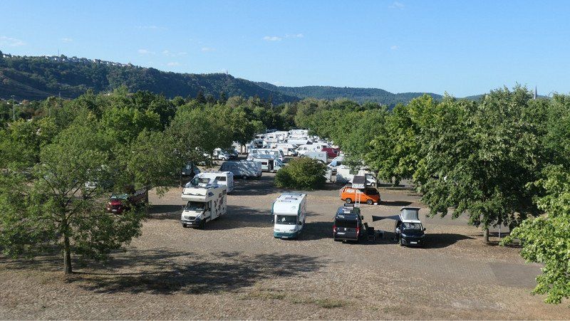
Reisemobilpark Treviris €12.90 excluding electricity and water
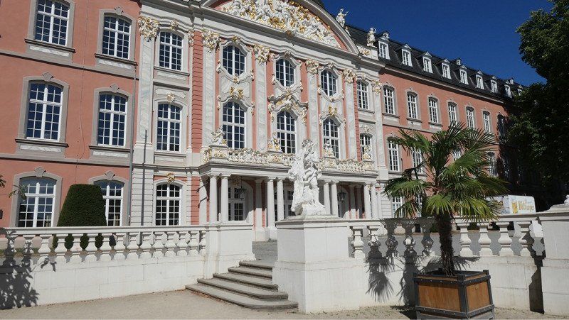
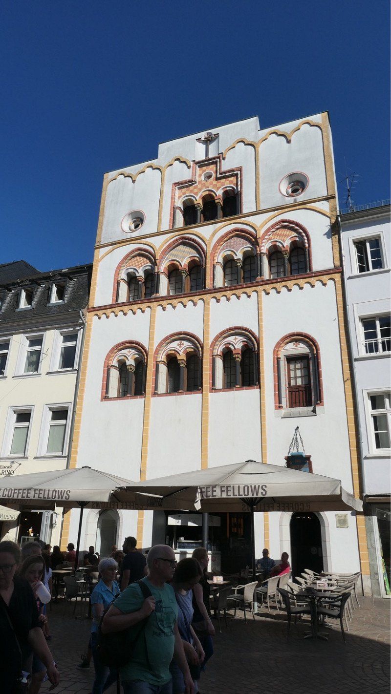
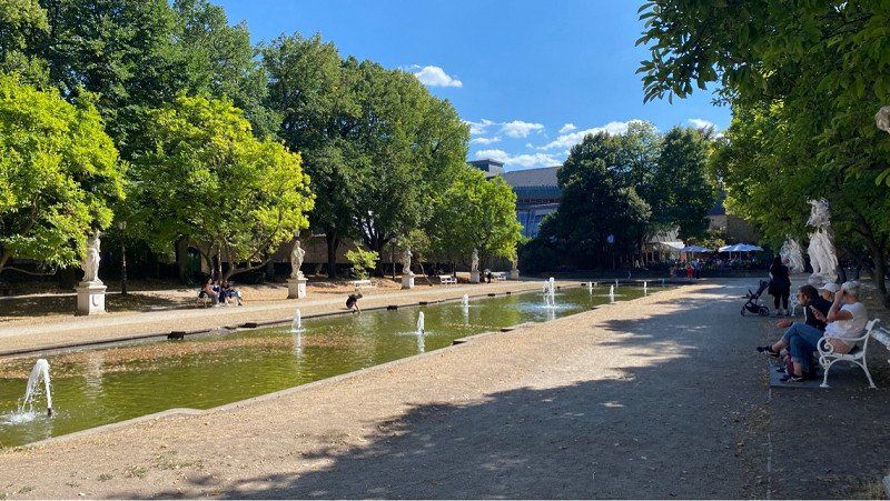
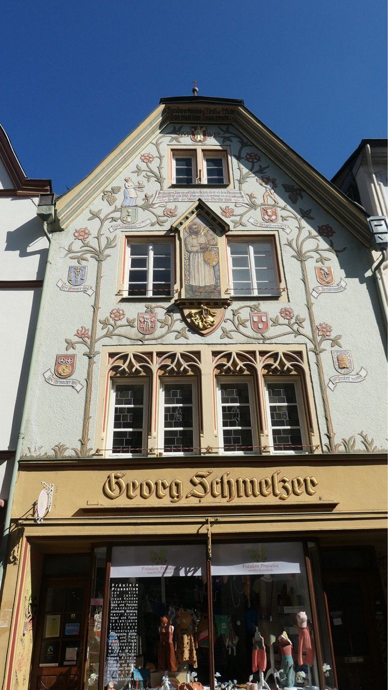
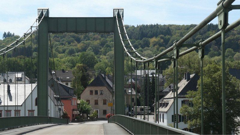
Camperplace is just a large parking lot, great for if you want to visit Trier
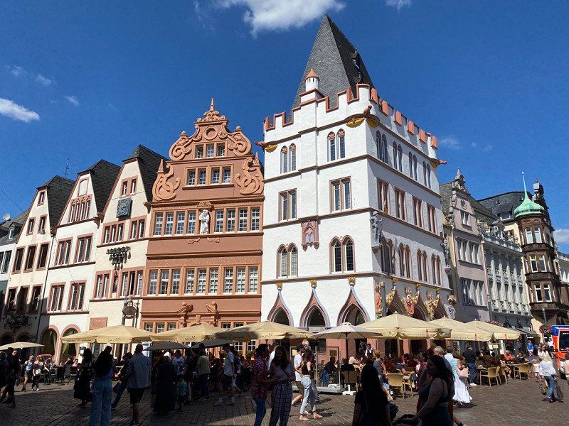
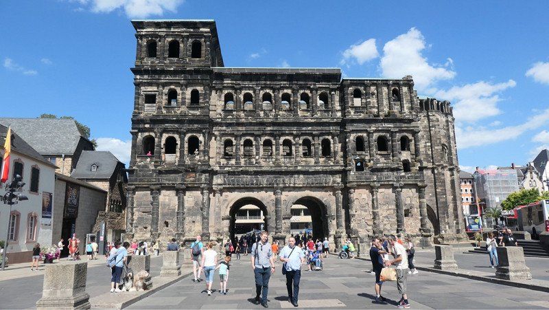
We cycled to Porta Nigra, where the bicycles are stored.
Got a city map at Turistinfo and made a small city walk
Caught some terraces and then back on the bike to the camper
In den Moselauen, 54294 Trier, Duitsland
49° 44' 20.7" N 6° 37' 22.2" E
49.7390831 6.6228471
• Take ramp onto Konrad-Adenauer-Brücke (B49/B51). Go for 484 m.
• Turn right and take ramp onto Pacelliufer (B49) toward Centrum. Go for 5.5 km.
• Continue on A602. Go for 9.8 km.
• Continue on E44 (Autobahndreieck Moseltal). Go for 77 m.
• Take the exit onto A1. Go for 19.0 km.
• Take exit 126 toward Mainz/Flughafen Hahn/B50 onto A60. Go for 1.4 km.
• Continue on B50. Go for 3.4 km.
• Take ramp toward Zeltingen-Rachtig/Platten. Go for 266 m.
• Take the 1st exit from roundabout onto B50 toward Zeltingen-Rachtig/Platten. Go for 5.3 km.
• Take the 3rd exit from roundabout onto B53 toward Bernkastel-Kues/Bernkastel/B50/Zeltingen-Rachtig. Go for 467 m.
• Take the 1st exit from roundabout onto Uferallee (B53) toward Bernkastel-Kues/Graach. Go for 4.8 km.
• Turn left onto K73. Go for 39 m.
• Turn left onto Hauptstraße (K73). Go for 16 m.
• Turn left onto Gestade. Go for 265 m.
• Arrive at Gestade. Your destination is on the left.
☍
50,8 km
( 38 min.)
Day
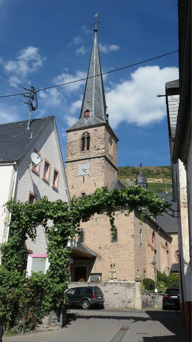
Gestade 16a, Graach an der Mosel, Duitsland
Sun Park Whonmobil Park €15
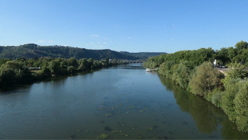
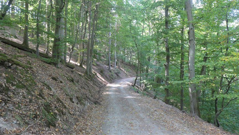
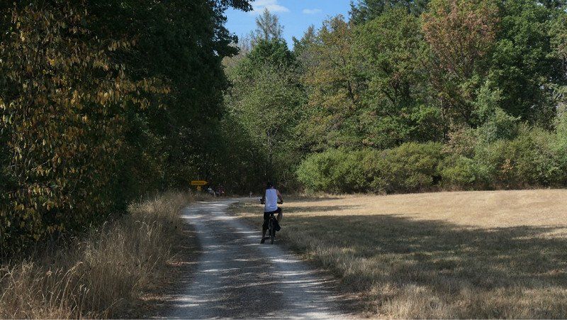
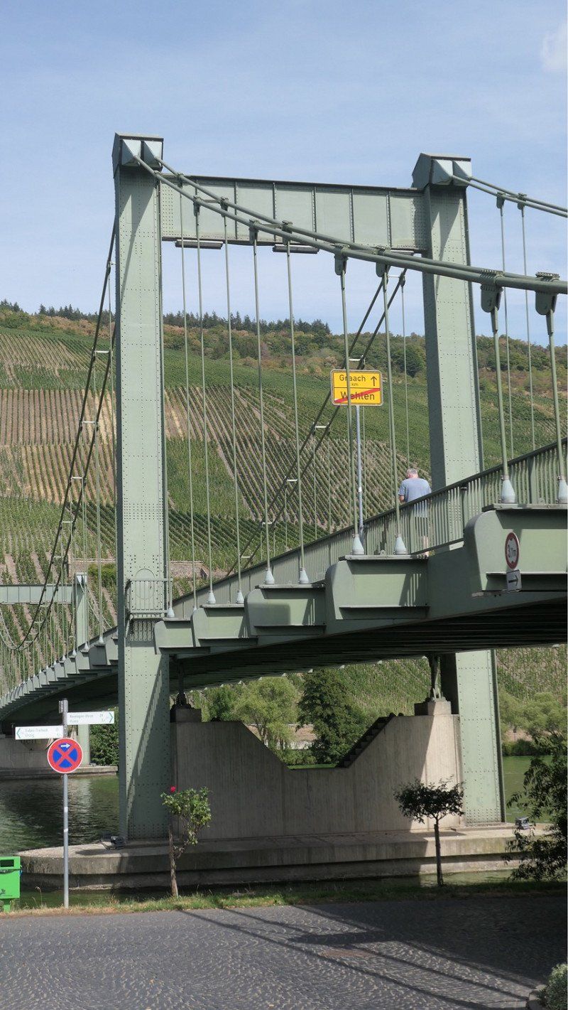
First day done a cycling route via Komoot. Oops, that one was a bit too heavy for me. More than 300 meters uphill, that was still okay. On asphalt and good acceleration I could handle it…..but going down through the forest (beautiful but not seen much of it) on unpaved road with stones and gravel I didn't like it so much anymore. This path went to a little past Zeltingen-Rachtig, there a bit back on the road to a good cycle path along the Moselle and after 4 km again in one piece at the camper.
Second day (tomorrow) to Bern-Kastel Kues and Schloss Lieser
Gestade 16a, 54470 Graach an der Mosel, Duitsland
49° 56' 4.7" N 7° 3' 39.2" E
49.9346393 7.0608980
• Head toward Kirchstraße on Gestade. Go for 265 m.
• Turn right onto Hauptstraße (K73). Go for 16 m.
• Turn right onto K73. Go for 39 m.
• Turn right onto B53. Go for 4.8 km.
• Take the 3rd exit from roundabout onto B53 toward Wittlich/Cochem/Ürzig/Gewerbegebiet Kues. Go for 426 m.
• Take the 3rd exit from roundabout onto B53 toward Cochem/Traben-Trarbach/Kröv/Ürzig/Kloster Machern. Go for 3.3 km.
• Take the 2nd exit from roundabout onto Moselufer (L56) toward Bausendorf/Ortsmitte/Stadion Ürziger Höhe. Go for 1.3 km.
• Turn right onto L56 toward Bausendorf/Kinderbeuern/Bhf. Ürzig/Gewerbegebiet Sengwald. Go for 1.3 km.
• Continue on Bahnhof Ürzig (K34). Go for 2.2 km.
• Turn left onto Kröver Straße (L58) toward B49/B421. Go for 426 m.
• Turn right onto Hauptstraße (B49) toward Zell (Mosel)/Cochem/Alf/B421. Go for 12.8 km.
• Pass 2 roundabouts and continue on B49. Go for 24.1 km.
• Turn left onto Auf dem Acker. Go for 12 m.
• Turn right onto Weingartenstraße. Go for 38 m.
• Arrive at Weingartenstraße. Your destination is on the left.
☍
51,1 km
( 45 min.)
Day
Day
Weingartenstraße 106, Ernst, Duitsland
Im Weinberg
€10
Weingartenstraße 106, 56814 Ernst, Duitsland
50° 8' 35.5" N 7° 13' 57.4" E
50.1431898 7.2326151
• Head toward Auf dem Bor on Weingartenstraße. Go for 296 m.
• Turn slightly right onto Herrenstraße. Go for 131 m.
• Turn left onto Moselstraße (B49). Go for 3.6 km.
• Take the 1st exit from roundabout onto Sehler Anlagen (B49) toward Koblenz/Treis-Karden/Cochem-City. Go for 1.9 km.
• Turn left onto Josefstraße toward A48/Mayen/Kaisersesch/Senheim. Go for 53 m.
• Continue on Ravenéstraße. Go for 167 m.
• Continue on Endertplatz. Go for 29 m.
• Turn right onto L98 toward Koblenz/A48/Trier/Mayen/Kaisersesch/Landkern. Go for 11.1 km.
• Take ramp onto A48 toward Koblenz. Go for 37.1 km.
• Take exit 10 toward Koblenz-Nord/Ko.-Zentrum onto B9. Go for 3.6 km.
• Take ramp toward KO-Lützel. Go for 253 m.
• Turn left onto Eifelstraße. Go for 293 m.
• Continue on Andernacher Straße (L126). Go for 413 m.
• Continue on Herberichstraße (L126). Go for 158 m.
• Continue on Werner-von-Siemens-Straße (L126). Go for 807 m.
• Arrive at Werner-von-Siemens-Straße (L126). Your destination is on the left.
☍
59,8 km
( 42 min.)
Day
Day
Reisemobil-Stellplatz Koblenz, Hans-Böckler-Straße, Koblenz, Duitsland
with the cable car €10 pp
Hans-Böckler-Straße 1A, 56070 Koblenz, Duitsland
50° 22' 59.2" N 7° 36' 6" E
50.3831146 7.6016640
• Head northeast on Werner-von-Siemens-Straße (L126). Go for 86 m.
• Take the 4th exit from roundabout onto Werner-von-Siemens-Straße (L126). Go for 1.1 km.
• Continue on Herberichstraße (L126). Go for 158 m.
• Continue on Andernacher Straße (L126). Go for 413 m.
• Continue on Eifelstraße (L126). Go for 189 m.
• Take ramp onto Bonner Straße (B9) toward Bonn. Go for 3.1 km.
• Take ramp onto A48 toward Frankfurt a.M./Bendorf/Neuwied. Go for 18.3 km.
• Take exit 13 toward Köln/Bonn onto A3. Go for 85.7 km.
• Continue on A3. Go for 47.1 km.
• Take exit 16 toward Krefeld/Duisburg-Süd onto A524. Go for 7.5 km.
• Take exit 2 toward Dinslaken/Duisburg onto A59. Go for 15.1 km.
• Take exit 6 toward Dortmund onto A42 (Emscherschnellweg). Go for 2.9 km.
• Take exit 8 toward Arnheim/Hannover onto A3. Go for 6.3 km.
• Take exit 10 toward Arnheim/Emmerich onto A3. Go for 66.3 km.
• Continue on A12. Go for 20.9 km.
• Take the exit toward Zwolle/Apeldoorn onto A50. Go for 22.0 km.
• Take the exit toward Amsterdam/Utrecht/Amersfoort onto A1. Go for 18.4 km.
• Take exit 18 toward Kootwijk/Harderwijk. Go for 537 m.
• Turn right onto Kootwijkerweg (N302) toward Harderwijk/Paleis het Loo/Kon. Juliana Toren/Apenheul. Go for 2.3 km.
• Take the 3rd exit from roundabout onto Amersfoortseweg (N310/N344) toward Garderen. Go for 3.8 km.
• Turn right onto Oud Milligenseweg. Go for 973 m.
• Arrive at Oud Milligenseweg. Your destination is on the left.
☍
323,1 km
(3 hrs. 2 min.)
Day
3886 MG Garderen, Nederland
52° 13' 35.3" N 5° 43' 9.3" E
52.2264731 5.7192509