We drove the route shown below from October 9th, 2022 to October 27th, 2022
Day
Jütrichau, Deutschland
39264 Jütrichau, Deutschland
51° 56' 14.2" N 12° 7' 55.7" E
51.9372886 12.1321371
• Head toward Dorfstraße on Mühlsdorfer Weg. Go for 80 m.
• Turn left onto Dorfstraße. Go for 271 m.
• Turn left onto Zerbster Straße (B184). Go for 7.0 km.
• Turn left onto Am Pharmapark. Go for 1.3 km.
• Turn right. Go for 94 m.
• Turn left toward K1255. Go for 614 m.
• Turn right onto K1255. Go for 610 m.
• Continue on Streetzer Weg (K1255). Go for 1.3 km.
• Continue on Burgwallstraße (K1255). Go for 128 m.
• Turn right onto Burgwallstraße (K1255). Go for 322 m.
• Keep right onto Dessauer Straße (K1255). Go for 539 m.
• Turn left onto Luchstraße (B184). Go for 4.3 km.
• Continue on Albrechtstraße toward Oranienbaum/Gewerbegebiet Ost. Go for 872 m.
• Take the 2nd exit from roundabout onto Albrechtsplatz. Go for 239 m.
• Continue on Kavalierstraße. Go for 923 m.
• Continue on Franzstraße. Go for 744 m.
• Continue on Heidestraße. Go for 1.4 km.
• Continue on Heidestraße. Go for 2.6 km.
• Turn left onto Heidestraße (B184). Go for 4.2 km.
• Turn right and take ramp onto A9 toward München/Leipzig. Go for 298 km.
• Take exit 52 toward Heilbronn/N.-Hafen onto A6. Go for 41.9 km.
• Take exit 53 toward Lichtenau/Ansbach-Mitte/Wolframs-Eschenbach/Sachsen b. Ansbach/Windsbach. Go for 339 m.
• Continue on St2223 toward Windsbach. Go for 2.8 km.
• Turn right onto Schlauersbach (AN14). Go for 160 m.
• Continue on AN14. Go for 279 m.
• Continue on Rückersdorf (AN14). Go for 925 m.
• Continue on AN14. Go for 529 m.
• Continue on Fischbach (AN14). Go for 270 m.
• Continue on AN14. Go for 1.3 km.
• Turn left onto AN12. Go for 1.2 km.
• Continue on Wöltendorf (AN12). Go for 358 m.
• Continue on AN12. Go for 1.4 km.
• Continue on Lichtenauer Straße (AN12). Go for 517 m.
• Continue on Obere Vorstadt (AN12). Go for 316 m.
• Continue on Richard-Wagner-Straße (AN12). Go for 55 m.
• Arrive at Richard-Wagner-Straße (AN12). Your destination is on the left.
☍
378,0 km
(3 hrs. 33 min.)
Day
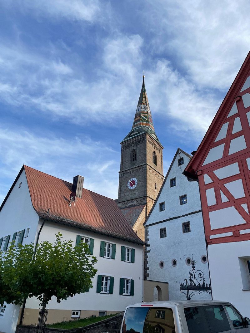
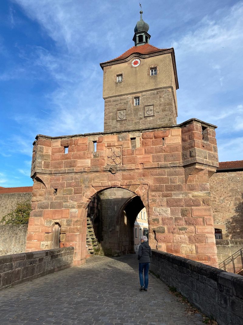
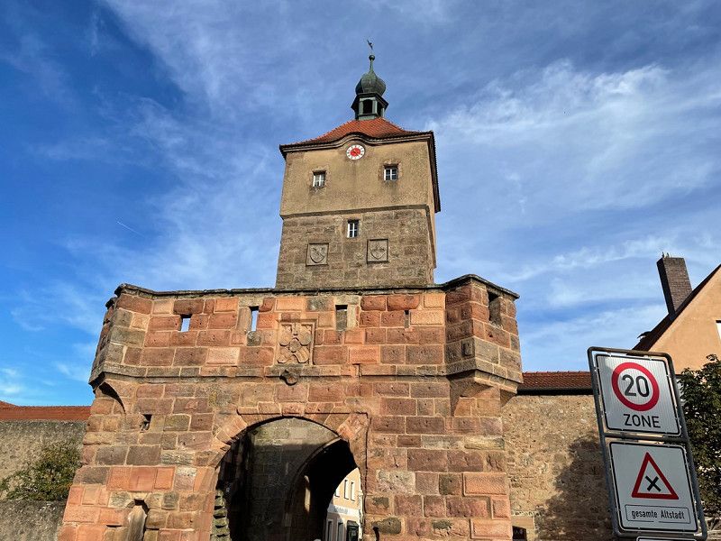
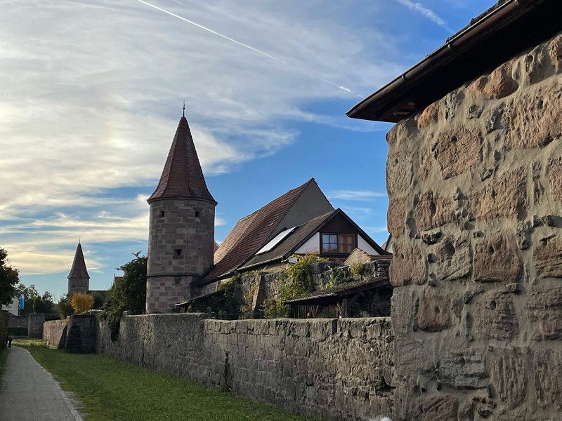
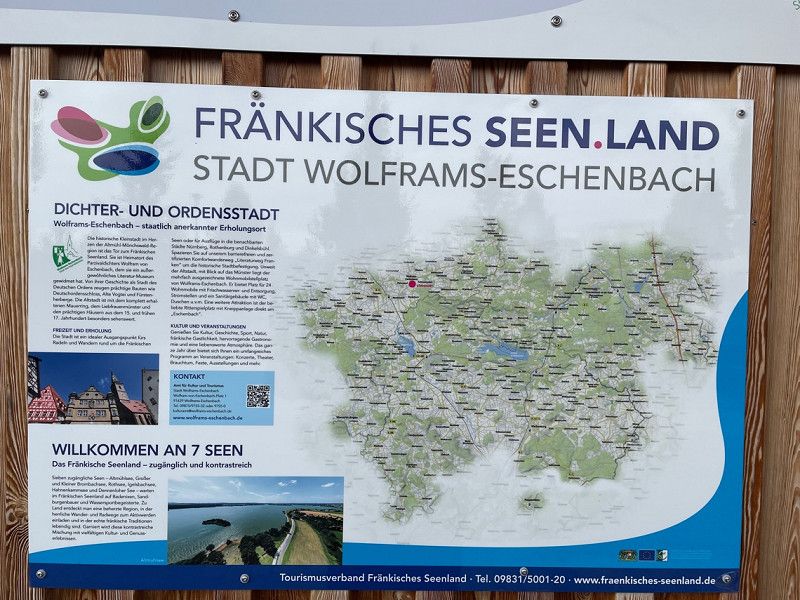
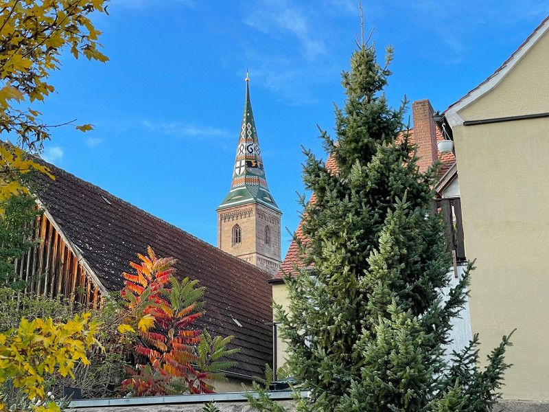
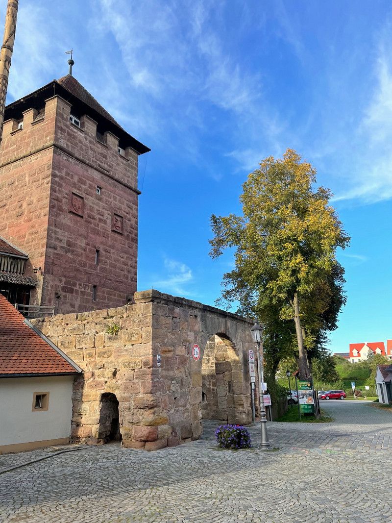
Wolframs-Eschenbach, Deutschland
49° 13' 34.3" N 10° 43' 23.6" E
49.2262035 10.7232303
• Head south on Richard-Wagner-Straße (AN12). Go for 239 m.
• Take the 1st exit from roundabout onto Merkendorfer Straße (St2220) toward Merkendorf. Go for 155 m.
• Turn right onto AN58. Go for 942 m.
• Continue on Waizendorf (AN58). Go for 431 m.
• Continue on AN58. Go for 2.7 km.
• Continue on Großbreitenbronn (AN58). Go for 131 m.
• Turn right onto Großbreitenbronn (AN58). Go for 390 m.
• Continue on AN58. Go for 1.8 km.
• Turn right onto B13. Go for 6.0 km.
• Turn left and take ramp onto A6 toward Heilbronn/Würzburg. Go for 27.2 km.
• Take exit 48 toward Füssen/Ulm/Feuchtwangen-West onto A7. Go for 150 km.
• Take exit 128 toward Bregenz/Lindau onto A96. Go for 39.0 km.
• Take exit 6 toward Wangen-Nord/Lindenberg/Argenbühl. Go for 380 m.
• Turn right onto L321 toward Lindenberg/Wangen/Argenbühl. Go for 4.3 km.
• Take the 2nd exit from roundabout onto Leutkircher Straße (L320). Go for 1.0 km.
• Turn right onto Buchweg (B32) toward A96/Ravensburg/Tettnang/Neuravensburg. Go for 114 m.
• Turn left onto Gegenbaurstraße (L320) toward Altstadt. Go for 298 m.
• Turn right onto Poststraße. Go for 51 m.
• Turn right onto Bahnhofstraße. Go for 83 m.
• Turn right onto Schillerstraße. Go for 37 m.
• Arrive at Schillerstraße. Your destination is on the right.
☍
234,8 km
(2 hrs. 14 min.)
Day
Day
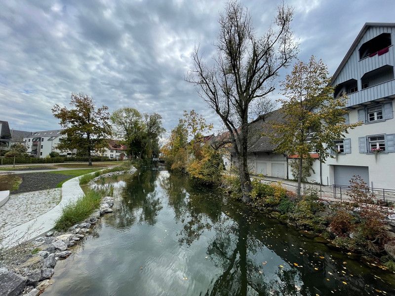
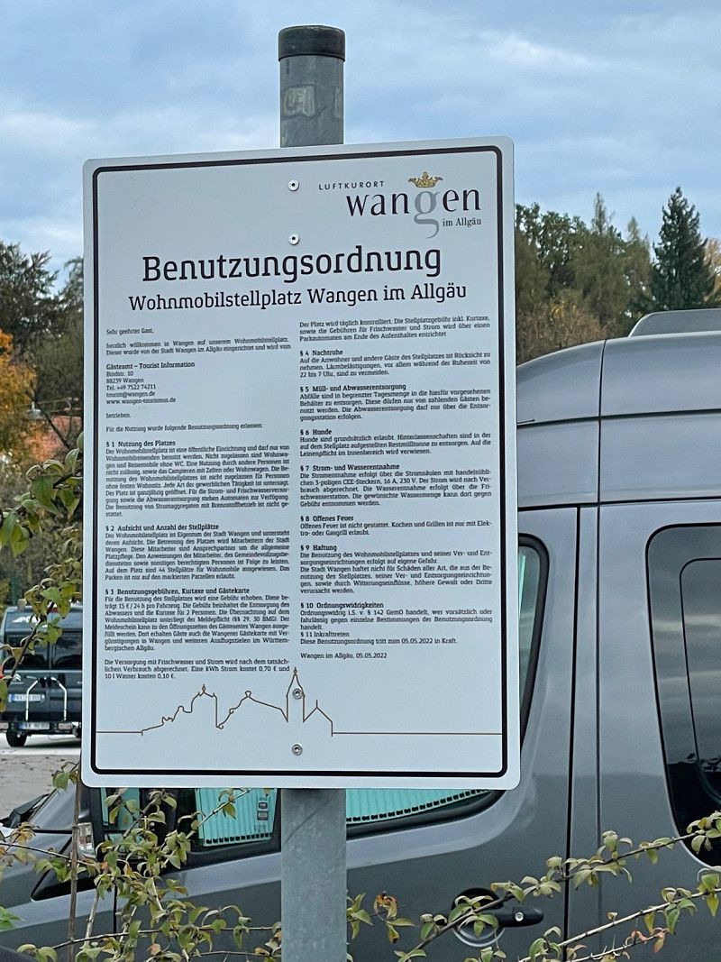
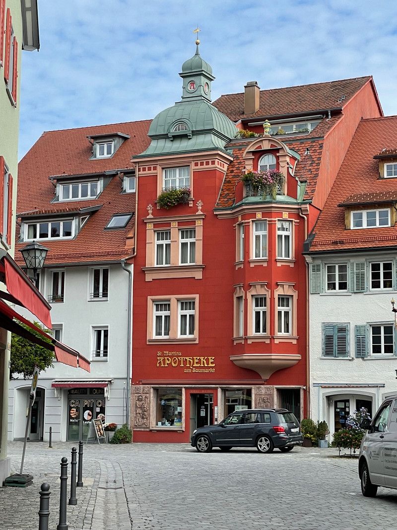
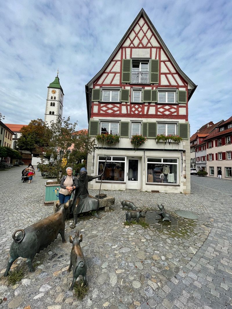
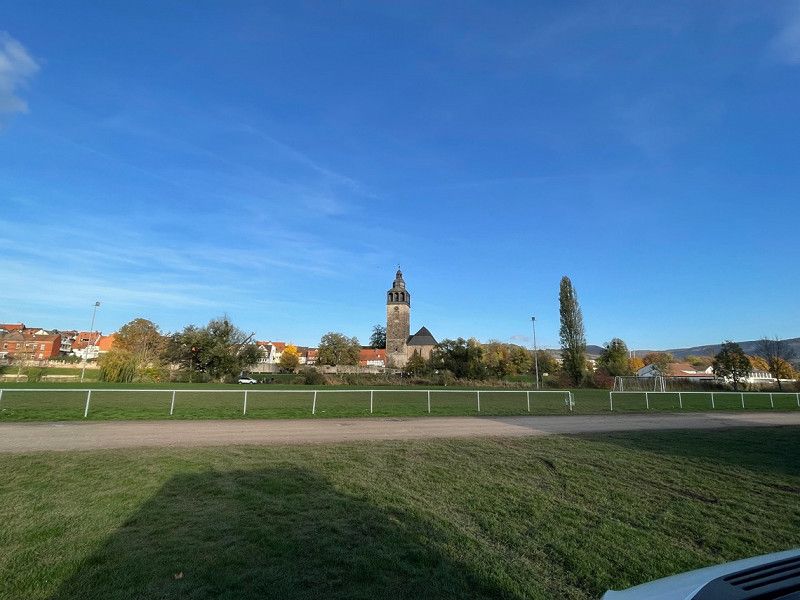
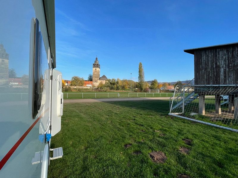
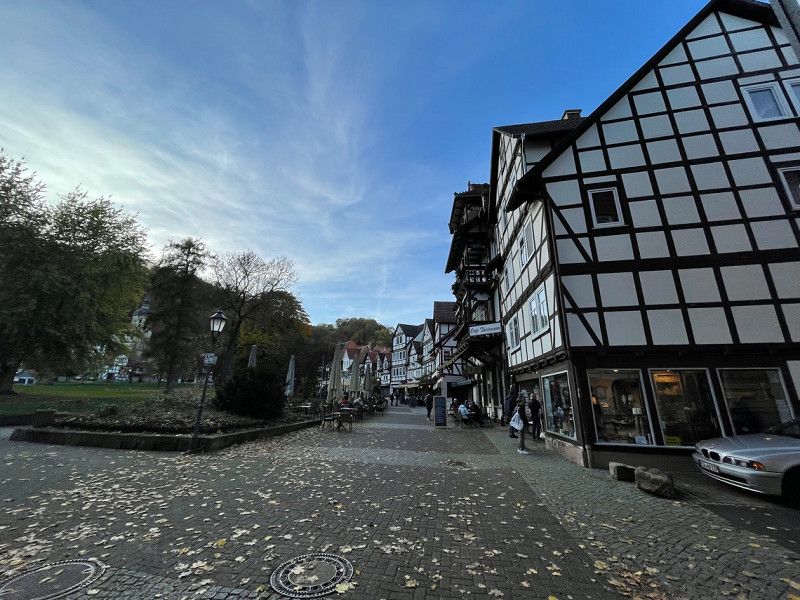
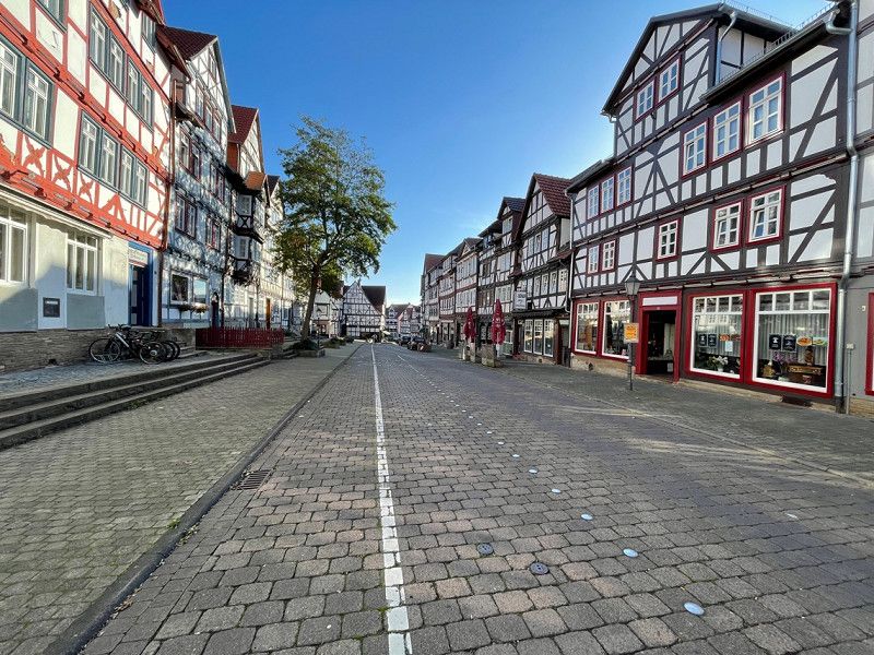
Wangen im Allgäu, Deutschland
88239 Wangen im Allgäu, Deutschland
47° 41' 15" N 9° 49' 54.5" E
47.6874999 9.8318005
• Head toward Gegenbaurstraße on Schillerstraße. Go for 73 m.
• Turn left onto Gegenbaurstraße (L320). Go for 206 m.
• Turn left onto Buchweg (B32). Go for 1.3 km.
• Take the 2nd exit from roundabout onto Ravensburger Straße (B32). Go for 2.4 km.
• Turn right and take ramp onto A96 toward Lindau. Go for 19.9 km.
• Continue on A14 (Rheintal Autobahn). Go for 26.4 km.
• Take exit 27 toward Götzis. Go for 286 m.
• Turn left onto Schweizer Straße (L55) toward Mäder. Go for 546 m.
• Take the 1st exit from roundabout onto Alte Landstraße (L58). Go for 1.1 km.
• Take the 2nd exit from roundabout onto Mäderer Landesstraße (L58). Go for 467 m.
• Continue on Zollstrasse. Go for 324 m.
• Take left ramp onto A13 toward Chur/Sargans. Go for 40.7 km.
• Take the left exit toward Chiasso/San Bernardino/Chur/Bad Ragaz onto A13. Go for 22.0 km.
• Take the exit onto Masanserstrasse. Go for 861 m.
• Pass 2 roundabouts and continue on Masanserstrasse (3/13). Go for 1.4 km.
• Continue on Masanserstrasse. Go for 835 m.
• Take the 2nd exit from roundabout onto Masanserstrasse. Go for 128 m.
• Take the 1st exit from roundabout onto Grabenstrasse. Go for 181 m.
• Arrive at Grabenstrasse. Your destination is on the left.
☍
119,1 km
(1 hrs. 14 min.)
Day
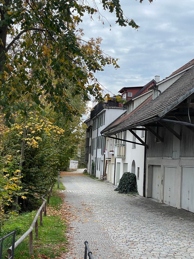
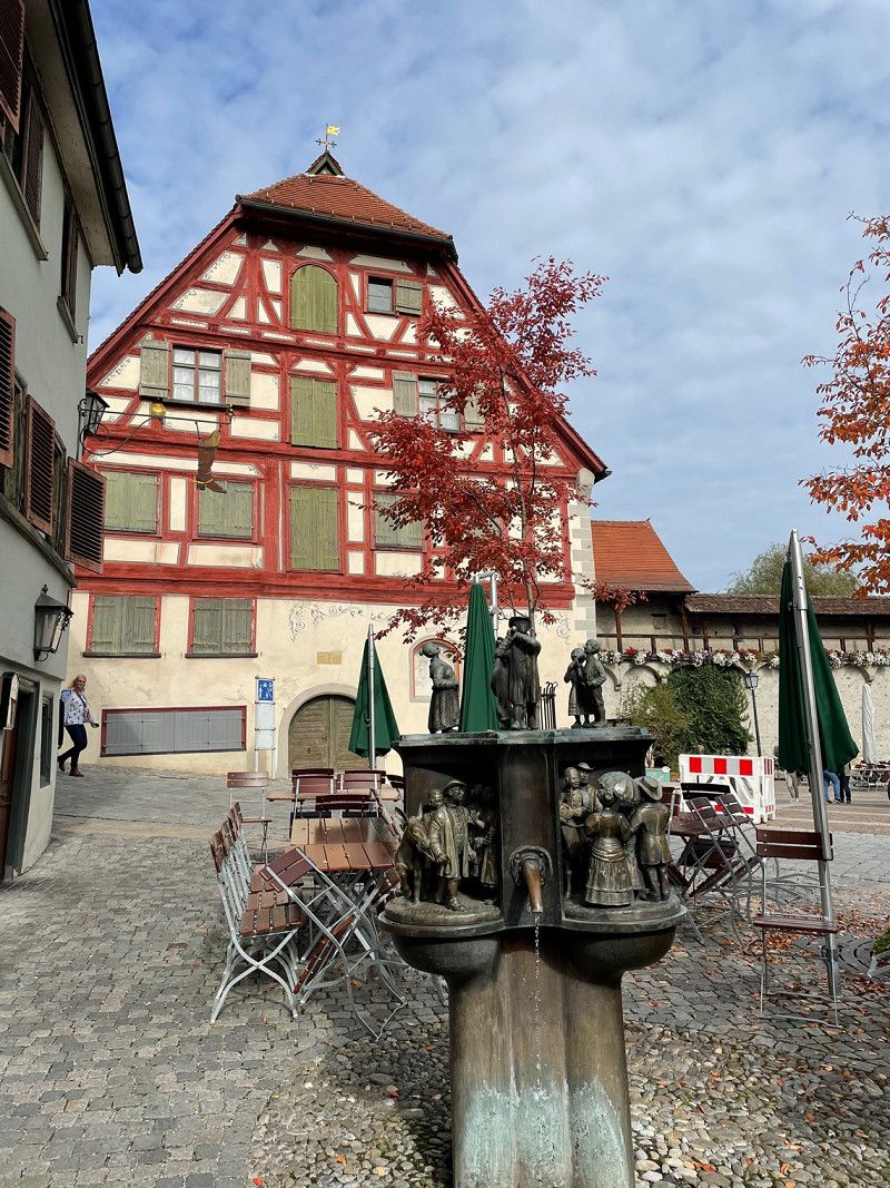
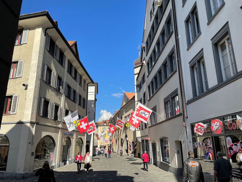
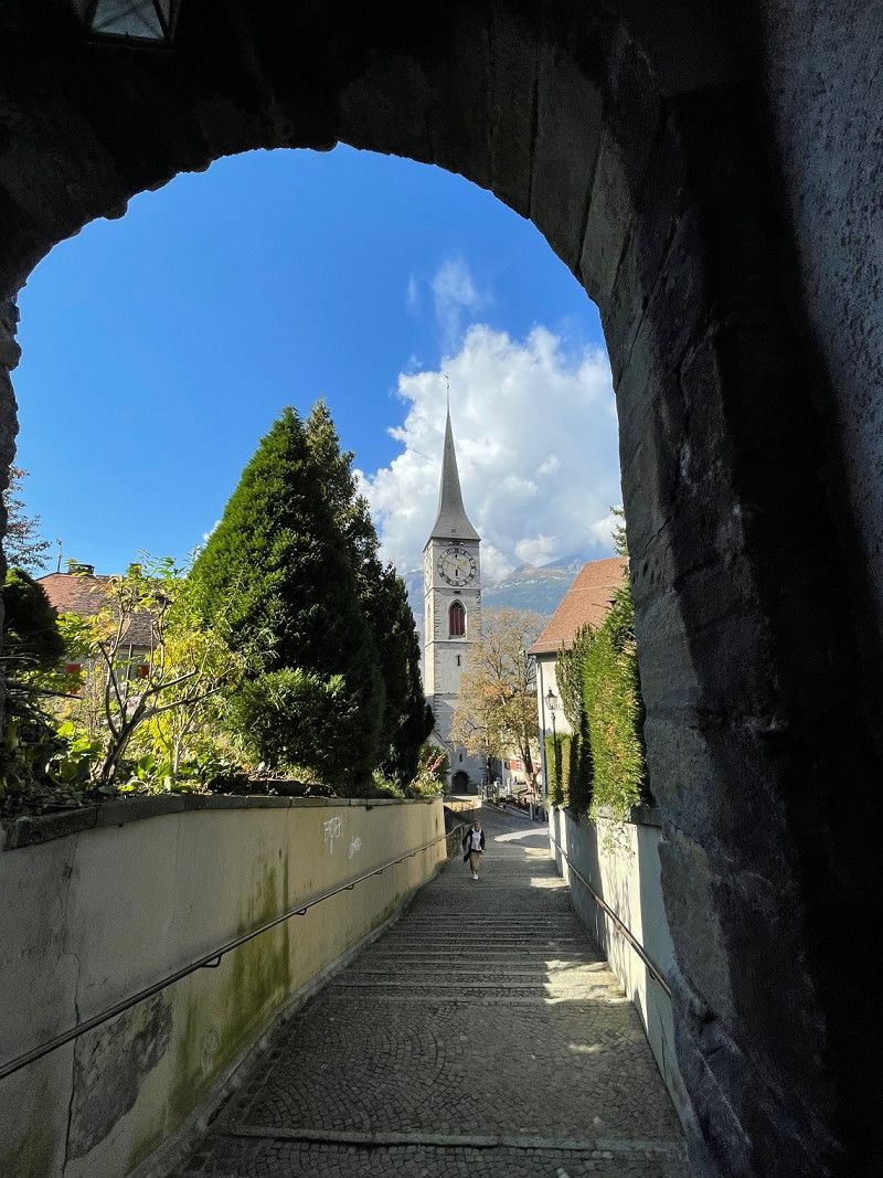
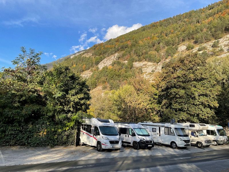
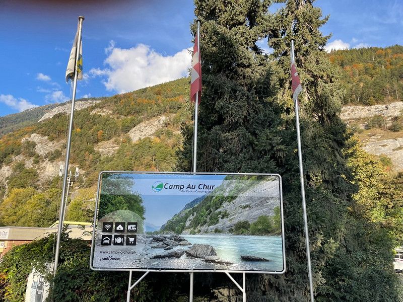
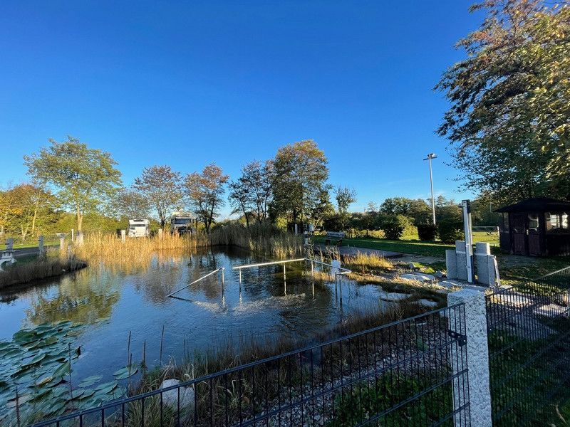
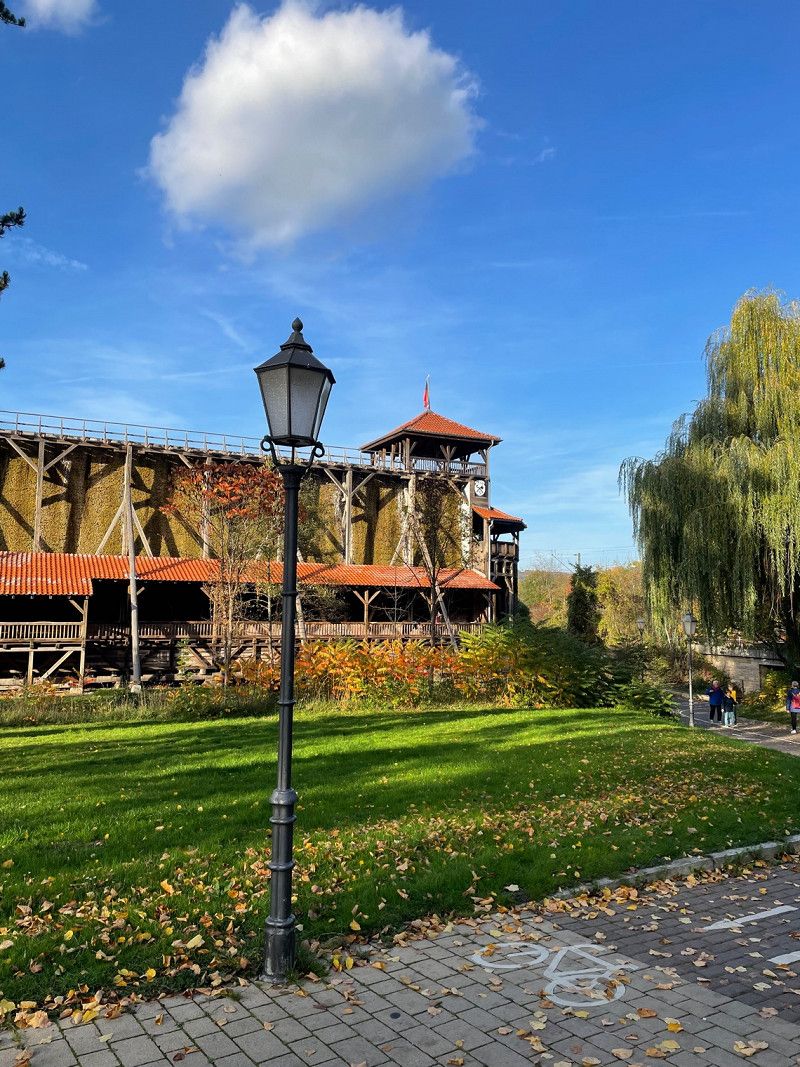
Chur, Schweiz
In chur we had a parking space at the Camp au chur campsite, it is really worth standing there for a few days there is a lot to explore by bike
46° 51' 2.8" N 9° 31' 55.1" E
46.8507835 9.5319859
• Head southwest on Grabenstrasse. Go for 20 m.
• Turn right onto Gäuggelistrasse. Go for 230 m.
• Take the 3rd exit from roundabout onto Engadinstrasse. Go for 331 m.
• Continue on Grabenstrasse. Go for 96 m.
• Take the 1st exit from roundabout onto Welschdörfli. Go for 43 m.
• Turn left onto Malixerstrasse. Go for 340 m.
• Turn right onto Umfahrung Süd (3). Go for 1.5 km.
• Keep right onto Waffenplatzstrasse toward Zürich/St. Margrethen/San Bernardino/Disentis/Flims. Go for 275 m.
• Continue toward A13. Go for 27 m.
• Take the 3rd exit from roundabout onto A13 toward Chur Industrie/San Bernardino/Reichenau/Domat/Ems/Felsberg/13/Lenzerheide/Chur/3/Arosa. Go for 7.0 km.
• Take exit 18 toward Reichenau/Disentis/Mustér/Ilanz/Flims. Go for 332 m.
• Turn right onto 19 toward Disentis/Mustér/Flims. Go for 13.6 km.
• Pass 3 roundabouts and continue on Oberalpstrasse (19). Go for 37.2 km.
• Continue on Via Lucmagn (416). Go for 50.5 km.
• Take the 2nd exit from Via Lucomagno roundabout onto Via Lucomagno (416). Go for 10.4 km.
• Take the 2nd exit from roundabout onto 408 toward E35/2/Bellinzona/Iragna. Go for 422 m.
• Take ramp onto A2 toward Locarno/Bellinzona. Go for 23.7 km.
• Take exit 47 toward Locarno onto 2 (In Tirada). Go for 4.6 km.
• Pass 5 roundabouts and continue on Via Monte Ceneri (406). Go for 4.3 km.
• Keep right onto 406. Go for 366 m.
• Turn sharp left onto Via Campiscioni (405). Go for 12.5 km.
• Continue on Corso Europa (SS394). Go for 9.6 km.
• Turn right onto Via Fratelli Monaco. Go for 207 m.
• Turn left onto Via Alberto Martinetti. Go for 86 m.
• Turn right onto Via Gualtiero Berti. Go for 333 m.
• Arrive at Via Gualtiero Berti.
☍
178,0 km
(2 hrs. 49 min.)
Day
Day
Day
Day
Day
Day
Day
Day
Day
Day
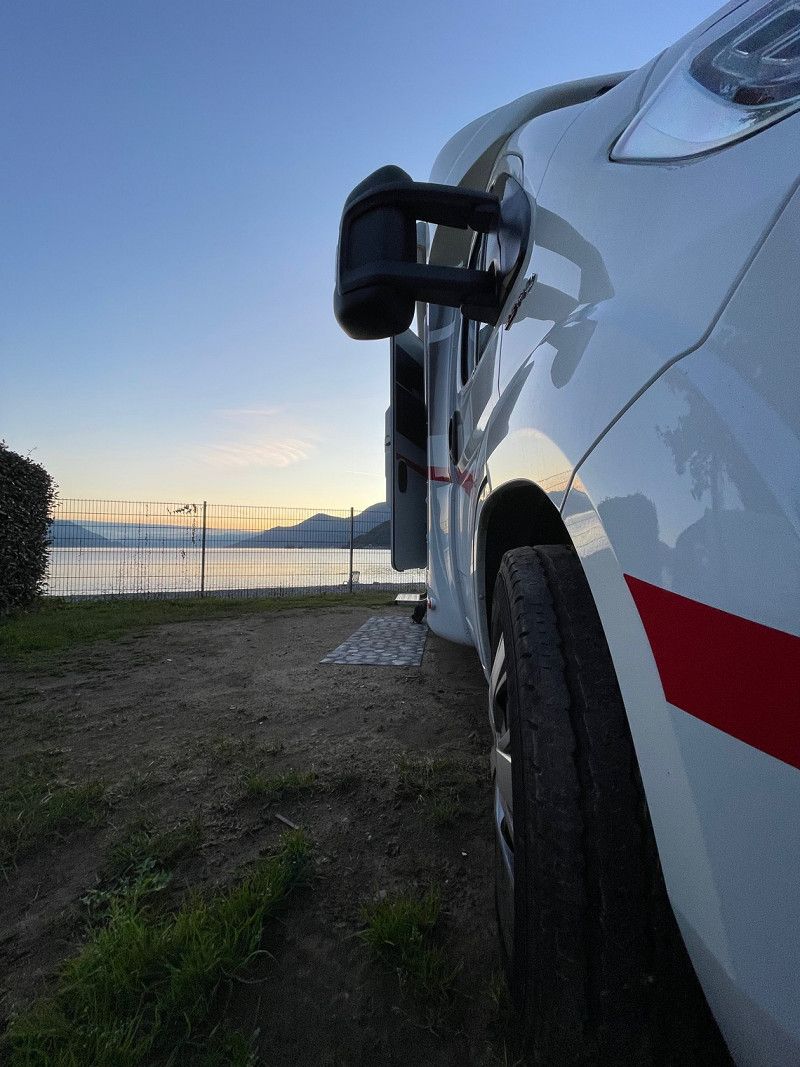
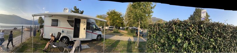
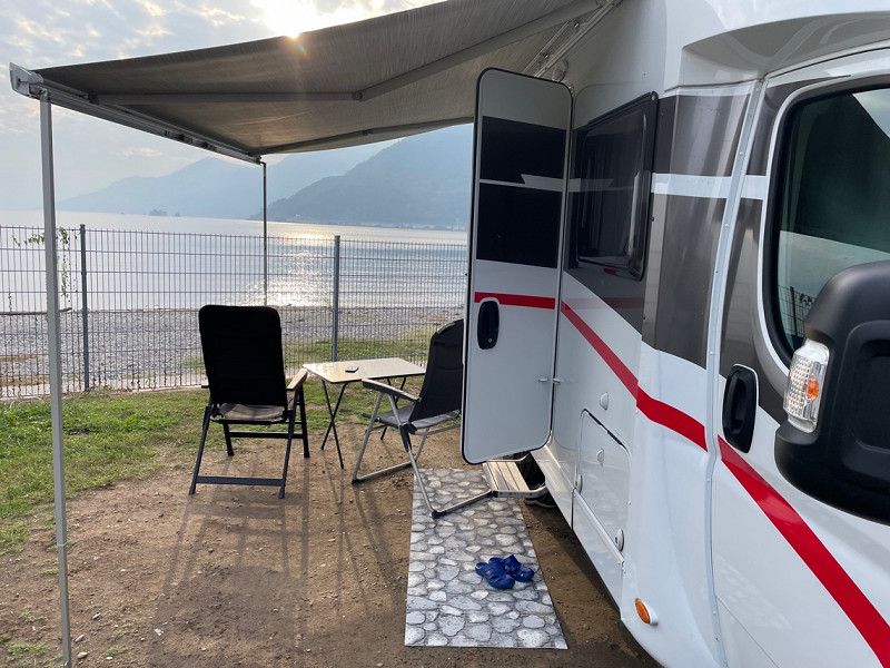
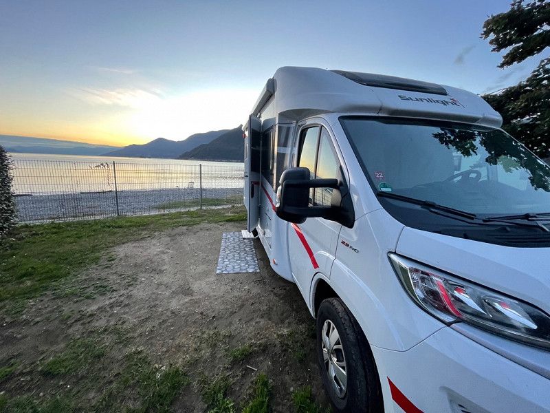
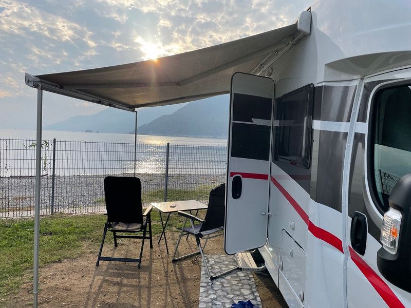
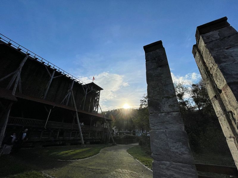
Lagocamp S.a.s.
This campsite is great, super clean, only a bit difficult to drive on with larger mobile homes - the lake sites are beautiful but unfortunately difficult to reach with larger mobile homes. Otherwise the place is great and the staff is super nice and gives lots of tips
Via Corsini 3, 21010, Maccagno con Pino e Veddasca, Italien
46° 2' 20" N 8° 43' 60" E
46.0388800 8.7333300
• Head east on Via Gualtiero Berti. Go for 531 m.
• Turn left onto Via Giuseppe Garibaldi (SS394). Go for 9.7 km.
• Continue on Via Cantonale (405). Go for 12.5 km.
• Pass 5 roundabouts and continue on Via Cantonale (406). Go for 4.3 km.
• Take the 3rd exit from roundabout onto Via San Gottardo (406). Go for 3.6 km.
• Take the 1st exit from roundabout onto In Tirada (2). Go for 213 m.
• Take ramp onto A2 toward San Gottardo/E43/San Bernardino/A13. Go for 7.5 km.
• Take exit 45 toward E43/Chur/San Bernardino/Bellinzona Nord onto A13 (Diramazione Bellinzona Nord). Go for 137 km.
• Continue on A3 toward Zürich/Sargans. Go for 89.0 km.
• Take exit 32 toward Flughafen/Bern/Basel/St. Gallen/Westring-Zürich onto A3. Go for 5.5 km.
• Take left exit 31 toward Bern/Basel/St. Gallen/Flughafen/Westring-Zürich onto A3/A4. Go for 10.0 km.
• Take the left exit toward Bern/Basel onto A1/A3. Go for 16.5 km.
• Take exit 53 toward Basel/Brugg onto A3. Go for 42.0 km.
• Take exit 14A toward Deutschland/Rheinfelden-West. Go for 1.0 km.
• Continue on A861. Go for 88 m.
• Continue on A861. Go for 4.1 km.
• Take the left exit onto A98 (Dorfbachtalbrücke). Go for 16.3 km.
• Take exit 1 toward Karlsruhe/Stuttgart/Freiburg onto A5. Go for 24.8 km.
• Take exit 65 toward Müllheim/Neuenburg/Badenweiler. Go for 171 m.
• Take the 2nd exit from roundabout onto B378 toward Bad Bellingen/Badenweiler/Mülheim/Neuenburg. Go for 238 m.
• Take the 2nd exit from roundabout onto B378 toward Badenweiler/Müllheim. Go for 4.5 km.
• Continue on L131 toward Schönau/Badenweiler/Müllheim Krankenhaus/Blankenhorn Palais. Go for 1.2 km.
• Take the 2nd exit from roundabout onto Schwarzwaldstraße (L131) toward Schönau/Badenweiler. Go for 711 m.
• Take the 3rd exit from roundabout onto Sulzburger Straße (L125) toward Staufen/Sulzburg/Britzingen/Zunzingen/Krankenhaus Helios-Klinik. Go for 170 m.
• Take the 2nd exit from roundabout onto L125. Go for 4.0 km.
• Turn right onto Markgräflerstraße (L125). Go for 4.3 km.
• Turn left onto K4941 toward Heitersheim/Dottingen. Go for 158 m.
• Turn left onto Sulzburger Straße (K4941). Go for 301 m.
• Continue on K4941. Go for 450 m.
• Continue on Brühlmatten (K4941). Go for 45 m.
• Turn right onto Sonnmatt. Go for 202 m.
• Arrive at Sonnmatt. Your destination is on the right.
☍
400,8 km
(4 hrs. 29 min.)
Day
Day
Day
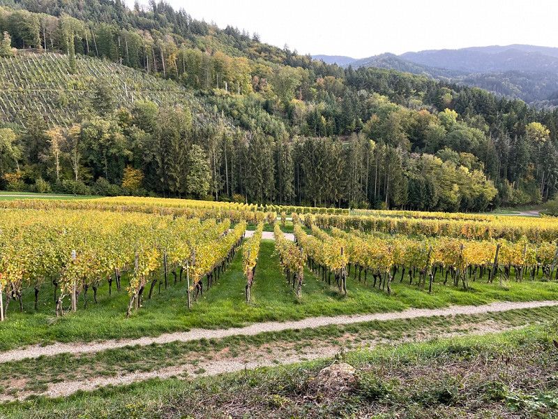
Camping Sulzbachtal, Sonnmatt, Sulzburg, Deutschland
It is a nice campsite with beautiful paths in a teaching vineyard and we ate delicious tarte flambée in town. We stayed here for two days
Sonnmatt 4, 79295 Sulzburg, Deutschland
47° 50' 52.9" N 7° 41' 54" E
47.8480200 7.6983200
• Head east on Sonnmatt. Go for 202 m.
• Turn left onto Brühlmatten (K4941). Go for 45 m.
• Continue on K4941. Go for 450 m.
• Continue on Sulzburger Straße (K4941). Go for 301 m.
• Turn right onto K4941. Go for 158 m.
• Turn left onto L125. Go for 569 m.
• Take the 2nd exit from roundabout onto L125 toward Staufen. Go for 2.8 km.
• Take the 3rd exit from roundabout onto L123 toward Freiburg/Bad Krozingen/Müllheim. Go for 817 m.
• Pass 2 roundabouts and continue on L123. Go for 1.7 km.
• Take the 3rd exit from roundabout onto Krozinger Straße (L123) toward Freiburg. Go for 1.8 km.
• Take the 1st exit from roundabout onto B3 toward A5/Freiburg. Go for 1.5 km.
• Take the 2nd exit from roundabout onto B3 toward A5/Breisach/Freiburg/Bad Krozingen. Go for 740 m.
• Take the 2nd exit from roundabout onto L120 toward Freiburg/Ehrenkirchen/Bad Krozingen/Zentrum. Go for 801 m.
• Take the 2nd exit from roundabout onto L120. Go for 3.9 km.
• Turn left and take ramp onto A5 toward Karlsruhe. Go for 134 km.
• Take exit 48 toward Karlsruhe-Süd/Rheinstetten/Messe KA/Landau (Pfalz)/Ettlingen Gewerbegebiet. Go for 398 m.
• Turn left onto B3 toward Karlsruhe/Landau (Pfalz)/Rheinstetten/Ettlingen-West/Gewerbegebiet Ettlingen. Go for 954 m.
• Continue on L605. Go for 3.5 km.
• Take ramp onto K9657 toward Landau/KA-Neureut/Rheinhafen. Go for 2.4 km.
• Continue on B10. Go for 7.8 km.
• Keep left onto B10. Go for 160 m.
• Continue on A65. Go for 20.3 km.
• Take exit 17 toward Landau-Süd onto B38. Go for 2.9 km.
• Take ramp onto B38 toward Landau. Go for 541 m.
• Continue on K7. Go for 1.1 km.
• Turn left onto Zweibrücker Straße (K12). Go for 302 m.
• Turn left onto Zweibrücker Straße (L509). Go for 229 m.
• Keep left onto Wollmesheimer Straße (L509). Go for 6.9 km.
• Turn right toward Landauer Straße. Go for 106 m.
• Continue on Landauer Straße. Go for 349 m.
• Turn right onto Weinstraße (L508). Go for 60 m.
• Arrive at Weinstraße (L508). Your destination is on the left.
☍
197,6 km
(1 hrs. 57 min.)
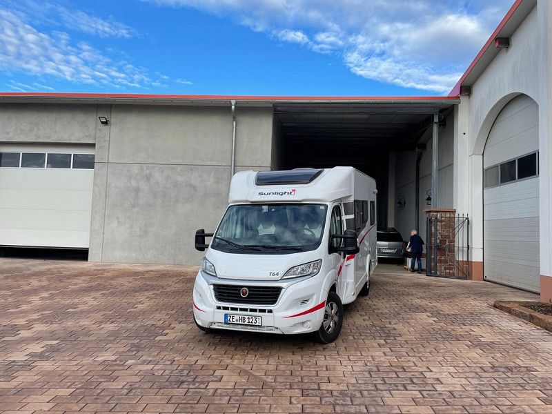
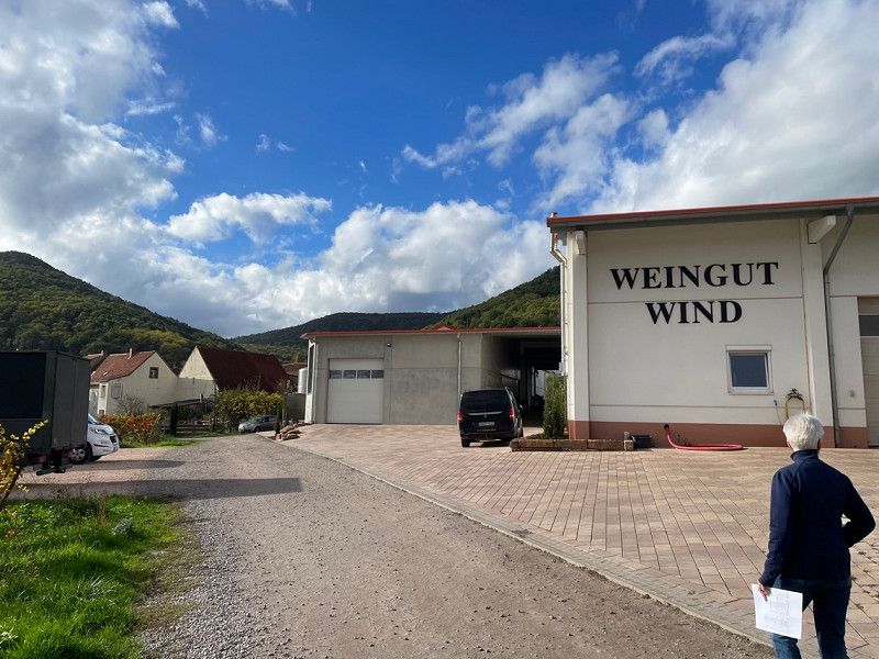
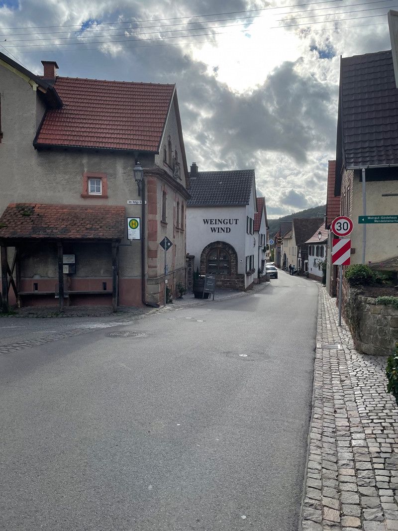
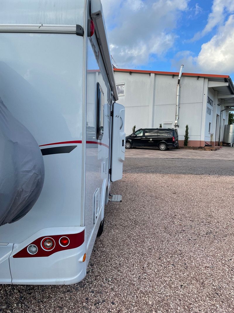
Weinstraße, Eschbach, Deutschland
Our penultimate stop at the Wind winery - here there is delicious Palatinate wine and the opportunity to taste each wine at a family wine tasting with lard bread
Weinstraße, 76831 Eschbach, Deutschland
49° 10' 26.3" N 8° 1' 7.2" E
49.1739600 8.0186592
• Head toward Löwenthal on Weinstraße (L508). Go for 61 m.
• Turn right onto Weinstraße (L508). Go for 6.0 km.
• Take ramp onto B10. Go for 7.6 km.
• Take left ramp onto A65 toward Ludwigshafen/Neustadt/Weinstr./Speyer/B272. Go for 31.5 km.
• Take exit 7 toward Koblenz/Mainz onto A61. Go for 12.4 km.
• Take exit 59 toward Frankfurt a.M./Frankenthal-Nord onto A6. Go for 17.8 km.
• Take the left exit toward Hannover/Frankfurt/Köln/Darmstadt onto A67. Go for 35.2 km.
• Continue on E451 (Darmstädter Kreuz). Go for 450 m.
• Continue on A5. Go for 149 km.
• Continue on A7. Go for 3.7 km.
• Take the exit toward Berlin/Dresden/Erfurt/Bad Hersfeld onto A4. Go for 10.6 km.
• Take exit 32 toward Bad Hersfeld/Eschwege/Bebra/Hünfeld. Go for 308 m.
• Turn left onto B27 toward Eschwege/Rotenburg a.d. Fulda/Bebra/Bad Hersfeld. Go for 1.5 km.
• Turn right onto B27 toward Eschwege/Rotenburg a.d.F. Go for 34.3 km.
• Take left ramp onto A44 toward Kassel/Eschwege. Go for 7.8 km.
• Take exit 27 toward Eschwege onto B27. Go for 16.9 km.
• Turn right and take ramp toward Trubenhausen/Bad Sooden-Allendorf. Go for 60 m.
• Turn left onto Bahnhofstraße. Go for 194 m.
• Turn right onto Werrabrücke (L3239). Go for 236 m.
• Continue on L3239. Go for 111 m.
• Turn right onto Wahlhauser Straße (L3466) toward Stadtmitte/Rathaus. Go for 226 m.
• Turn left onto Waldisstraße (L3466) toward Asbach. Go for 914 m.
• Arrive at Gartenstraße. Your destination is on the left.
☍
336,6 km
(3 hrs. 13 min.)
Day
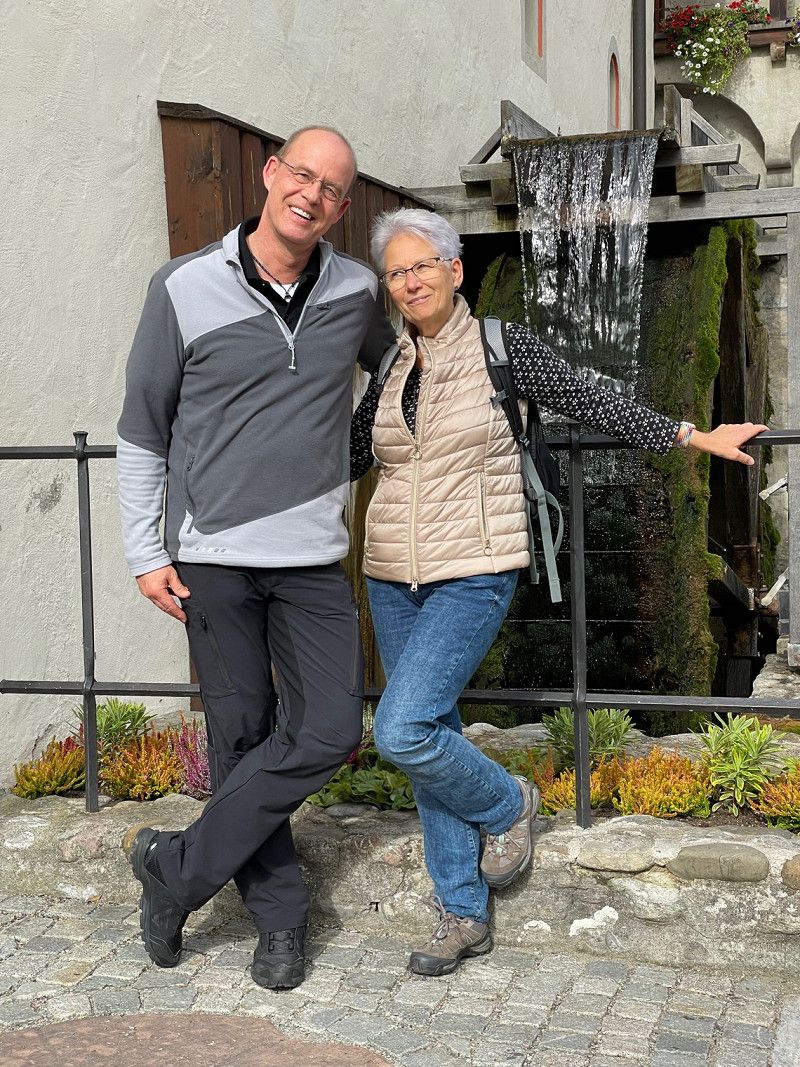
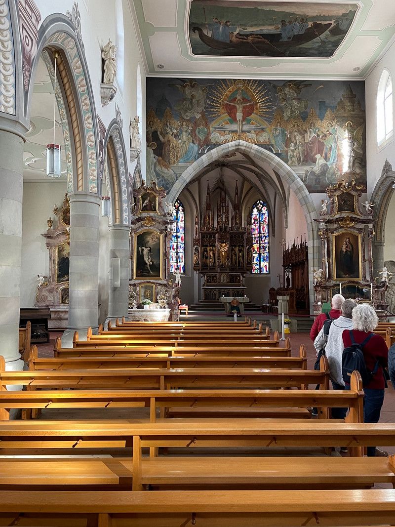
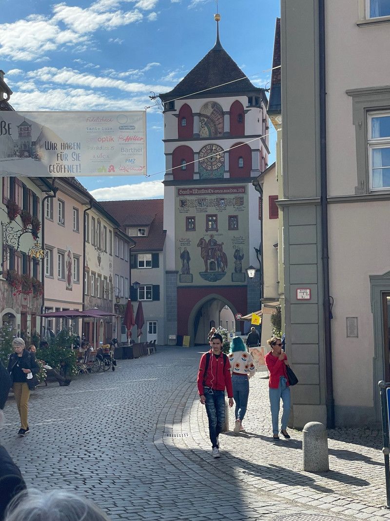
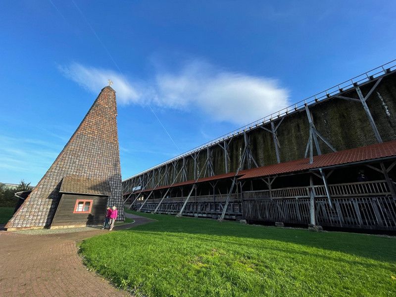
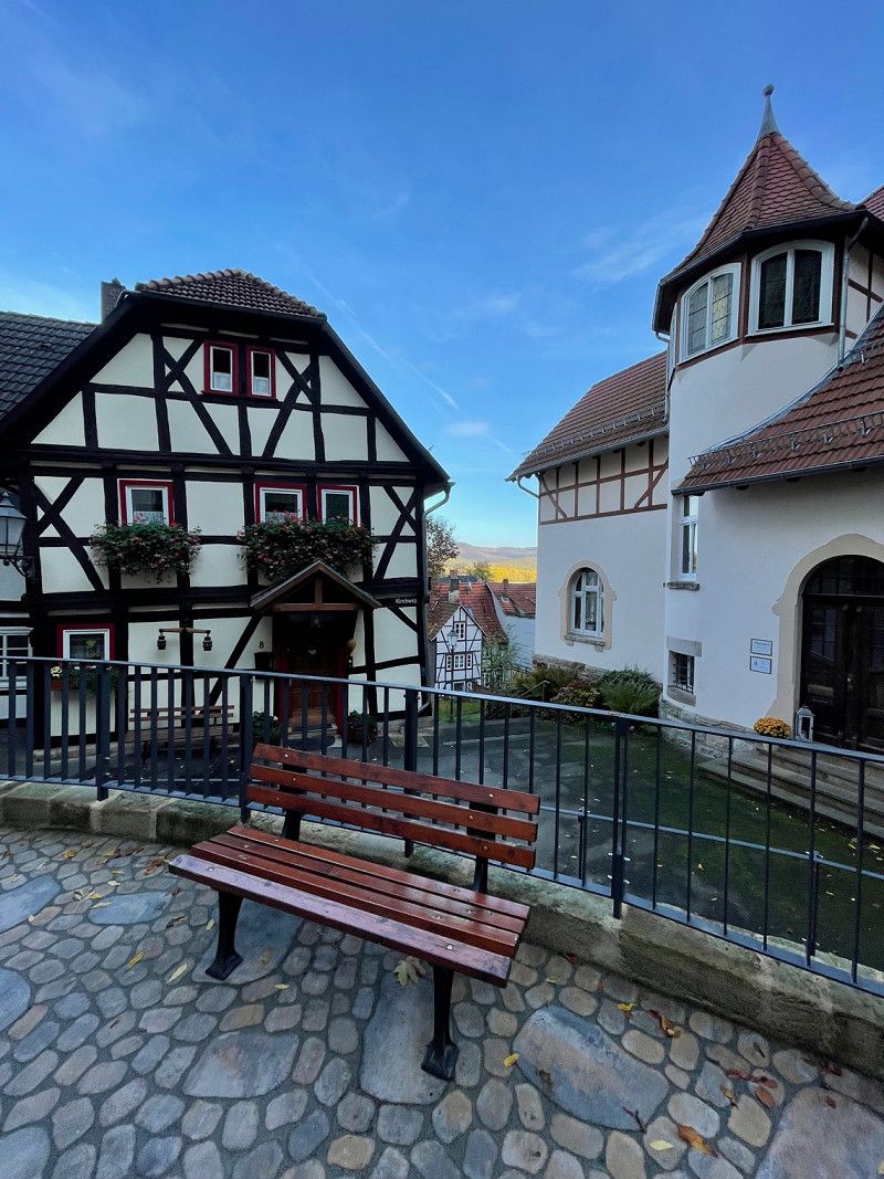
Bad Sooden-Allendorf, Deutschland
We love this parking space and have often stood here in the mobile home port - the two-part old town is worth seeing and invites you to linger.
37242 Bad Sooden-Allendorf, Deutschland
51° 16' 13.2" N 9° 58' 48.3" E
51.2703403 9.9800957
• Head toward Asbacher Landstraße on Gartenstraße. Go for 914 m.
• Turn right onto Wahlhauser Straße (L3466). Go for 658 m.
• Continue on L3466. Go for 637 m.
• Continue on L1003. Go for 413 m.
• Continue on Kreisstraße (L1003). Go for 1.3 km.
• Continue on L1003. Go for 2.2 km.
• Continue on Kreisstraße (L1003). Go for 362 m.
• Continue on L1003. Go for 1.4 km.
• Continue on Dorfstraße (L1003). Go for 427 m.
• Continue on Dorfstraße (L1003). Go for 286 m.
• Continue on L1003. Go for 234 m.
• Continue on L1074 toward Heilbad Heiligenstadt/Uder/Wüstheuterode. Go for 2.0 km.
• Continue on Überm Rösental (L1074). Go for 240 m.
• Continue on Im Graben (L1074). Go for 57 m.
• Turn left onto Mackenröder Straße (L1074). Go for 63 m.
• Continue on Bei der Kirche (L1074). Go for 100 m.
• Continue on In der Schlehenhecke (L1074). Go for 400 m.
• Continue on L1074. Go for 1.7 km.
• Continue on Friedensstraße (L1074). Go for 754 m.
• Continue on L1074. Go for 1.4 km.
• Continue on Lenteröder Straße (L1074). Go for 121 m.
• Keep right onto Schmiedegasse (L1074). Go for 488 m.
• Turn right onto Kirchgasse (L1074). Go for 220 m.
• Turn right onto Straße der Einheit (L3080). Go for 3.2 km.
• Take the 3rd exit from roundabout onto L1074. Go for 2.2 km.
• Take the 2nd exit from roundabout onto L2006 toward A38/Göttingen/Leinfelden/Dingelstädt/Gewerbegebiet Ost/Süd. Go for 486 m.
• Take the 3rd exit from roundabout onto L1005 toward Göttingen/A38/Duderstadt/Teistungen. Go for 1.0 km.
• Take the 3rd exit from roundabout onto A38 toward Leipzig. Go for 132 km.
• Take exit 22 toward Magdeburg/Halle onto A143. Go for 9.7 km.
• Take exit 3 toward Halle-Neustadt/Halle-Zentrum/Bennstedt. Go for 334 m.
• Turn left onto B80 toward Halle. Go for 8.1 km.
• Take ramp onto An der Magistrale (L159). Go for 2.8 km.
• Continue on Riebeckplatz. Go for 89 m.
• Keep left onto Volkmannstraße toward A14/Könnern/B100/Bitterfeld/Flughafen Leipzig/Halle. Go for 2.1 km.
• Keep right onto Dessauer Platz (B6) toward A14/Bitterfeld/B100/Zörbig/Flughafen Leipzig/Halle. Go for 396 m.
• Turn right onto Berliner Chaussee (B100) toward A14/Bitterfeld/Flughafen Leipzig/Halle. Go for 15.6 km.
• Take ramp onto A9 toward Berlin. Go for 32.4 km.
• Take exit 10 toward Dessau-Ost/Oranienbaum. Go for 360 m.
• Turn left onto Oranienbaumer Chaussee (B107/B185) toward Dessau. Go for 285 m.
• Continue on Oranienbaumer Chaussee (B185). Go for 4.1 km.
• Take the 2nd exit from roundabout onto Askanische Straße (B185). Go for 403 m.
• Turn right onto Askanische Straße toward Magdeburg/Roßlau (Elbe). Go for 489 m.
• Turn right onto Kavalierstraße. Go for 920 m.
• Continue on Albrechtsplatz. Go for 228 m.
• Take the 2nd exit from roundabout onto Albrechtstraße. Go for 5.4 km.
• Turn right onto Magdeburger Straße (B184). Go for 47 m.
• Turn left onto An der Zerbster Brücke (B184). Go for 9.3 km.
• Turn right onto Dorfstraße. Go for 271 m.
• Turn right onto Mühlsdorfer Weg. Go for 80 m.
• Arrive at Mühlsdorfer Weg. Your destination is on the right.
☍
248,7 km
(2 hrs. 33 min.)
Day
Jütrichau, Deutschland
The entire tour had 2206.50 km with small detours and stopovers - all in all a great tour - we will definitely go to one or the other destination again.
39264 Jütrichau, Deutschland
51° 56' 14.2" N 12° 7' 55.7" E
51.9372886 12.1321371