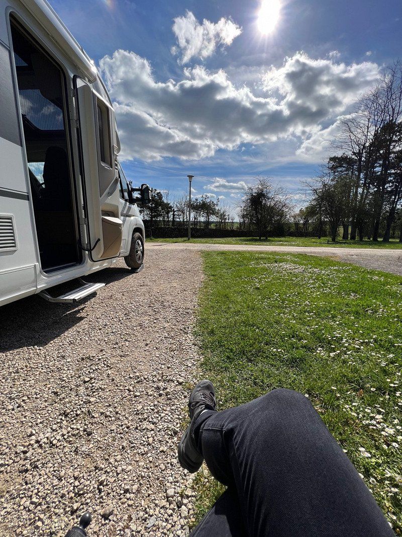
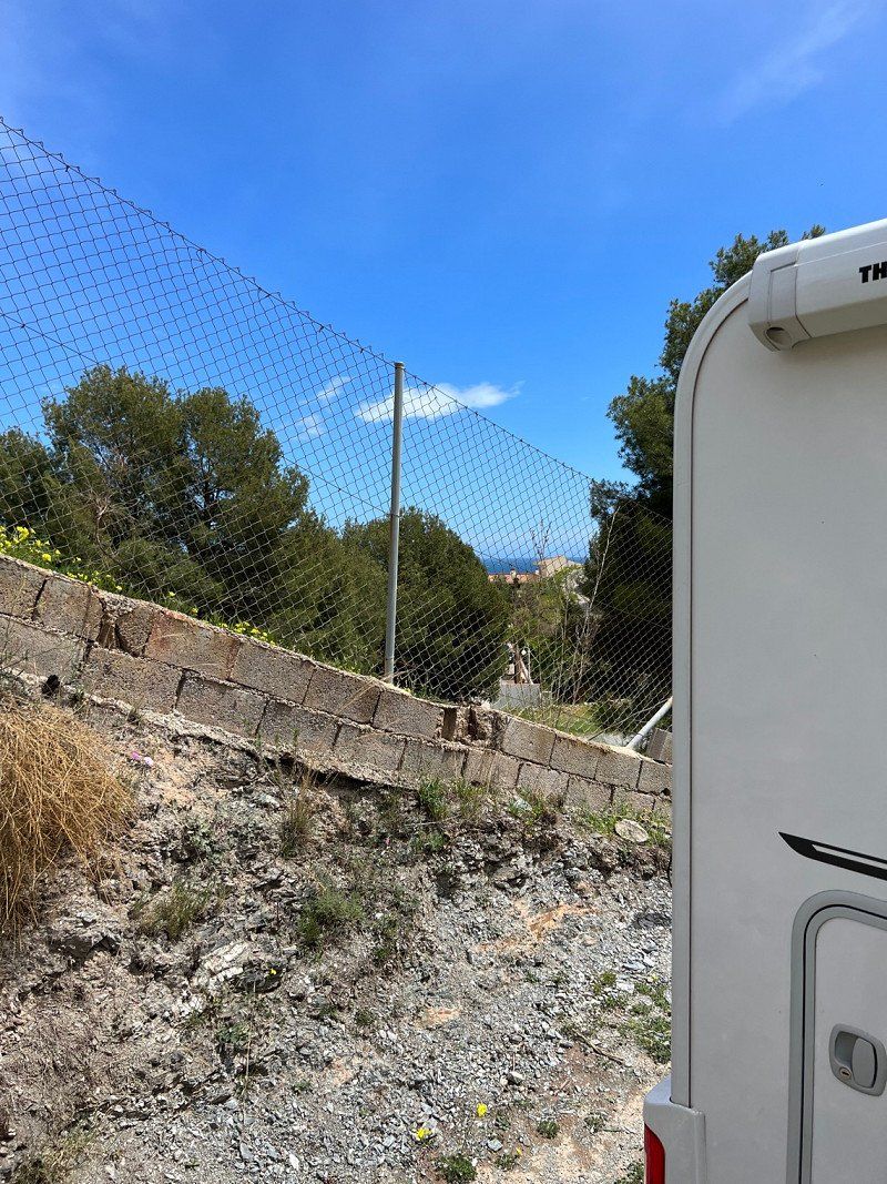
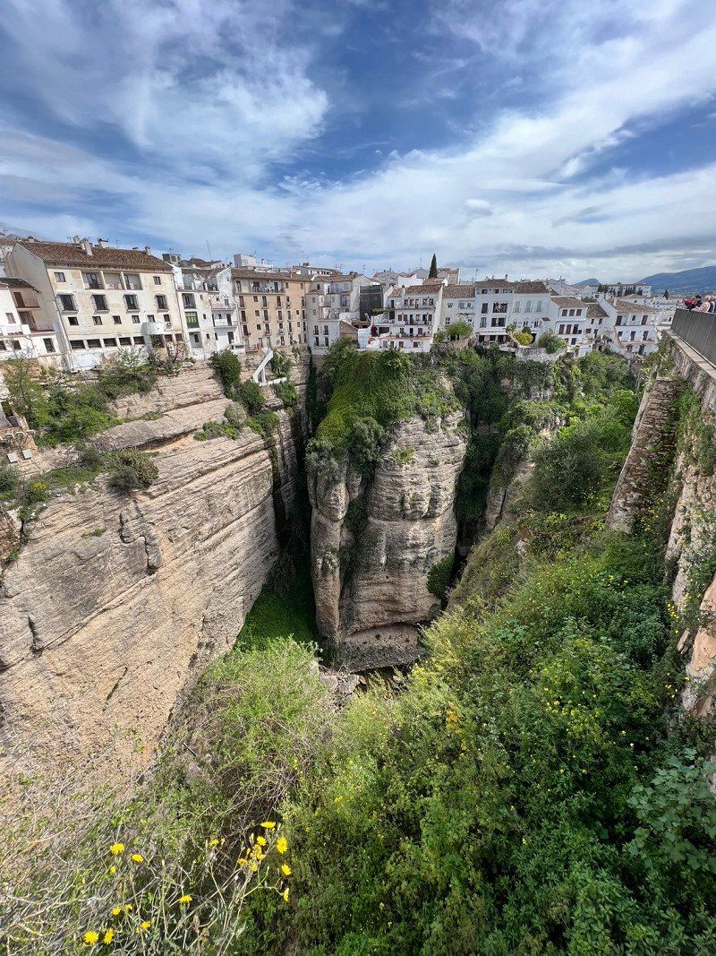
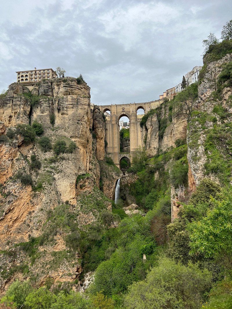
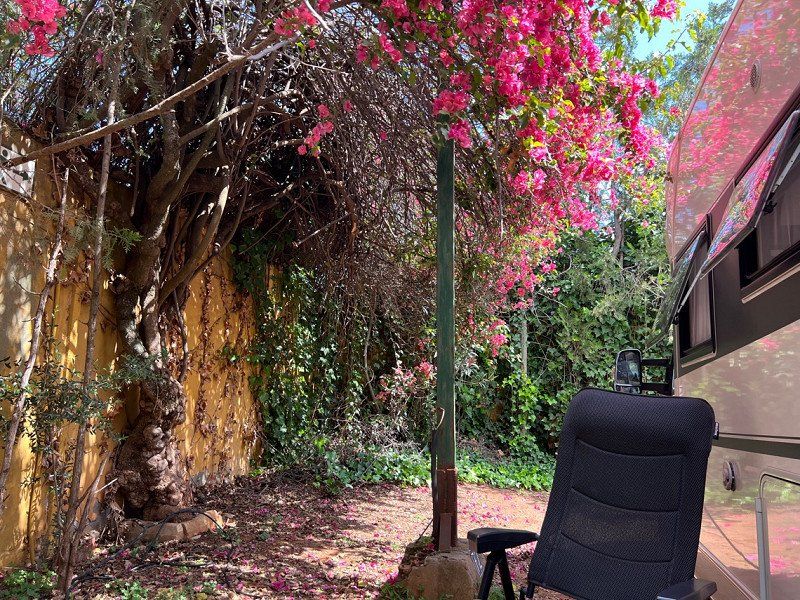
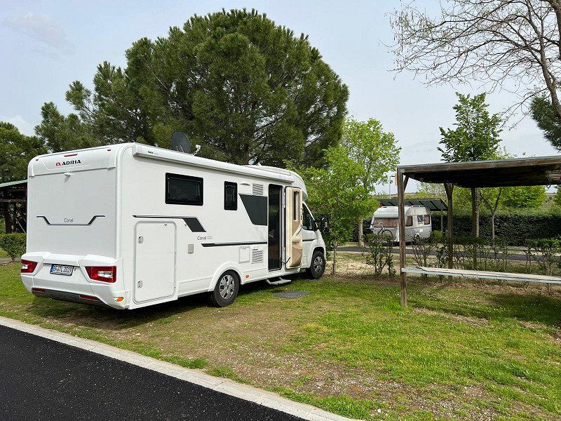
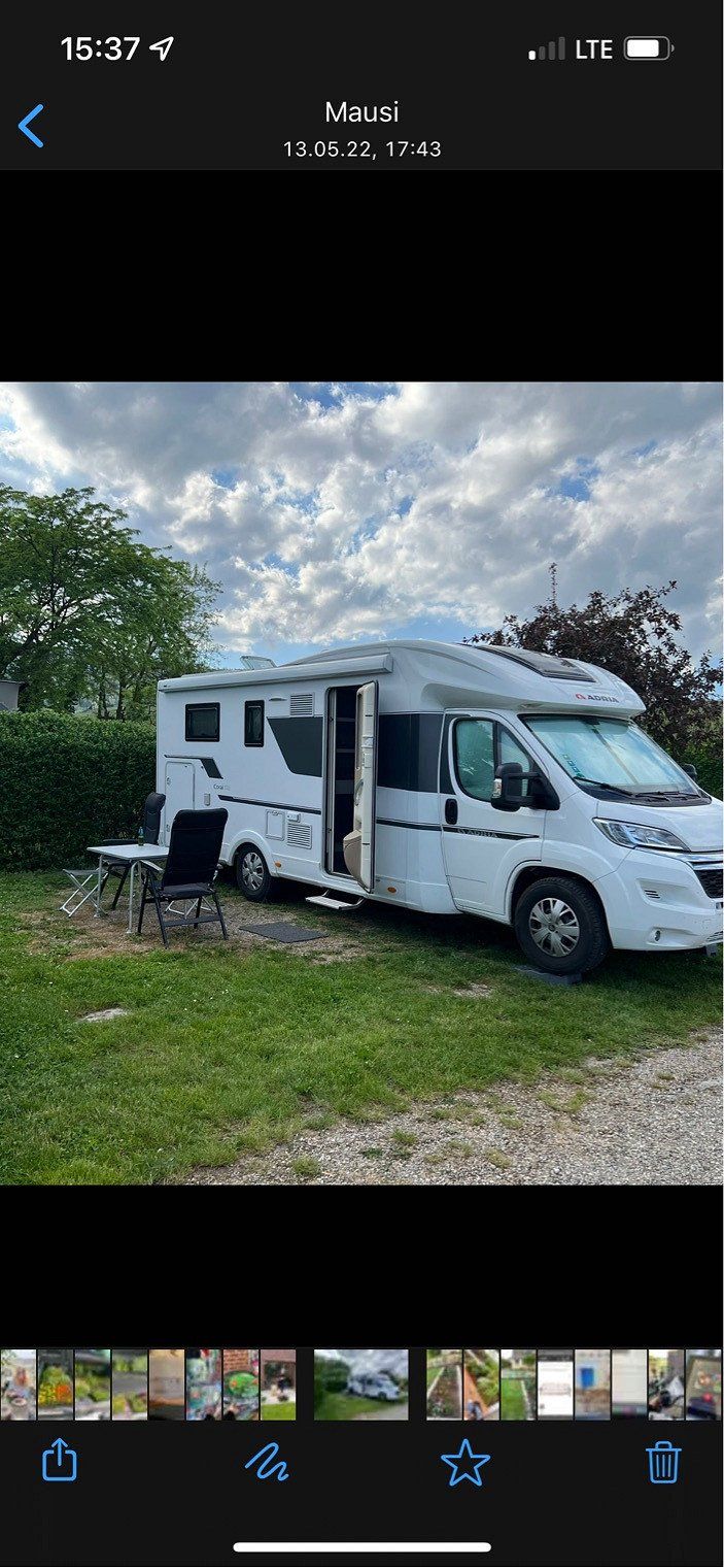
With the WoMo we drive in the direction of Andalusia with many intermediate stops for hiking and cycling. The way back will lead us to our favorite mountain, which we would like to conquer again by bike.
Münster, Deutschland
48268 Greven, Deutschland
52° 5' 47.5" N 7° 37' 1.6" E
52.0965179 7.6171100
• Head toward Ludwig-Terfloth-Straße on Ostring. Go for 402 m.
• Turn left onto Königstraße. Go for 317 m.
• Pass 2 roundabouts and continue on Königstraße. Go for 642 m.
• Turn right onto Schiffahrter Damm (B481). Go for 1.2 km.
• Take ramp onto A1 (Hansalinie) toward Dortmund. Go for 184 km.
• Take exit 109 toward Trier/B51/Euskirchen onto A1. Go for 37.7 km.
• Take exit 114 toward Blankenheim/Dahlem/Trier onto B51. Go for 38.1 km.
• Take ramp onto B51/B410. Go for 7.2 km.
• Take the 2nd exit from roundabout onto B51 toward Luxemburg/A60/Trier/Bitburg/E42/Schloßheck. Go for 223 m.
• Take ramp onto A60 toward Luxembourg/Trier/Bitburg. Go for 18.9 km.
• Take exit 6 toward Luxembourg/Bitburg onto B51. Go for 32.9 km.
• Take ramp onto A64 toward Luxembourg. Go for 8.8 km.
• Continue on A1 (Sauertalbrücke). Go for 36.4 km.
• Take the exit toward Metz/Saarbrücken/Livange onto A3. Go for 13.0 km.
• Continue on A31. Go for 100 km.
• Take the exit toward Lyon/Paris/Dijon/Toul onto A31. Go for 127 km.
• Take exit 7 toward Vesoul. Go for 985 m.
• Take the 1st exit from roundabout onto N19 toward Vesoul/Langres. Go for 8.2 km.
• Take the 2nd exit from roundabout onto Avenue de la Collinière (N19) toward Vesoul/Mulhouse/Langres-Centre. Go for 2.5 km.
• Keep right onto Place des États-Unis (N74) toward D974/Dijon/Besançon. Go for 47 m.
• Continue on Avenue Turenne (D974). Go for 1.2 km.
• Take the 3rd exit from roundabout onto Route de Dijon (D974) toward Dijon/Besancon/Sts Geosmes/Z.A. de Sabinus. Go for 227 m.
• Take the 2nd exit from roundabout onto Route de Dijon (D974) toward A31/Dijon/Besancon/Sts Geosmes. Go for 3.7 km.
• Turn right. Go for 55 m.
• Arrive at your destination on the right.
☍
623,7 km
(5 hrs. 56 min.)
Day
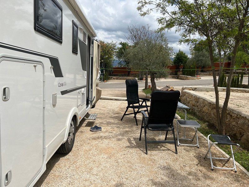
Camping La Croix d'Arles
Very nice reception, thanks to ACSI we paid €17.50 for one night including electricity.
Very nice place, but unfortunately it is on a busy road. If you are sensitive to noise, earplugs are recommended.
Unfortunately, the WiFi didn't work for us. TV reception (dish) was great! We were in 118th place (10.04.)
The sanitary facilities are so semi good and unfortunately there was no toilet paper.
R.N. 74, 52200, Langres/Bourg, Frankreich
47° 48' 46.6" N 5° 19' 14.6" E
47.8129400 5.3207100
• Head east. Go for 55 m.
• Turn right onto D974. Go for 1.6 km.
• Turn right onto Allée des Tilleuls (D292 A) toward Bourg. Go for 568 m.
• Turn right onto Rue du Général Patton (D292 A). Go for 2.5 km.
• Continue on D291. Go for 337 m.
• Continue on Route de Grange (D291). Go for 155 m.
• Continue on Rue de Langres (D291 A). Go for 286 m.
• Turn right onto Rue du Calvaire (D291 A). Go for 63 m.
• Turn right onto Rue du Calvaire (D291 A). Go for 915 m.
• Continue on D291 A. Go for 1.3 km.
• Turn left onto D428. Go for 1.8 km.
• Take the 3rd exit from roundabout onto A31 toward Dijon. Go for 101 km.
• Continue on A6 (Autoroute du Soleil). Go for 147 km.
• Keep left onto Autoroute du Soleil (M6) toward Lyon-Centre. Go for 6.8 km.
• Keep left onto Autoroute du Soleil (M7). Go for 194 km.
• Keep right onto A9 (Échangeur d'Orange) toward Barcelone/Toulouse/Montpellier/Nîmes. Go for 29.0 km.
• Take exit 23 toward Beaucaire/Tarascon/Uzès/Remoulins/Pont du Gard. Go for 732 m.
• Take the 3rd exit from roundabout onto D6100 toward Nîmes/Alès/Beaucaire/Tarascon/Remoulins/Uzès/Pont du Gard. Go for 1.9 km.
• Take the 3rd exit from Carrefour de l'Arnède roundabout onto Avenue Geoffroy Perret (D6100) toward Nîmes/Beaucaire/Tarascon. Go for 1.6 km.
• Take the 1st exit from roundabout onto Avenue du Pont du Gard (D981) toward Pont du Gard. Go for 1.3 km.
• Continue on Lieu-dit La Couasse (D981). Go for 185 m.
• Turn right onto Avenue du Pont du Gard. Go for 53 m.
• Arrive at Avenue du Pont du Gard. Your destination is on the left.
☍
493,5 km
(4 hrs. 21 min.)
Day
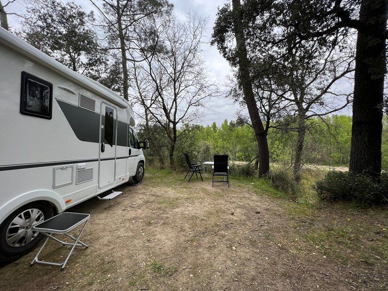
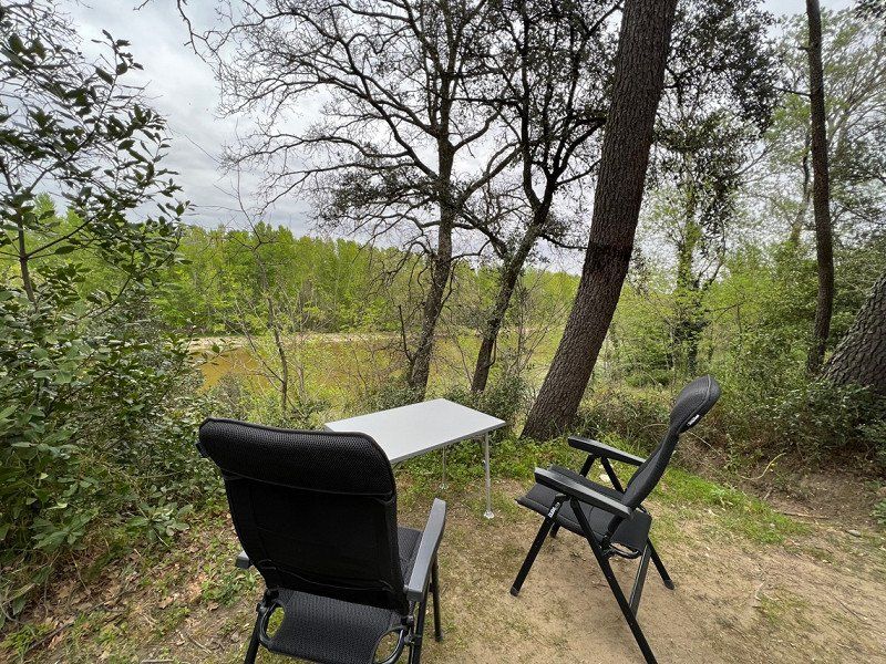
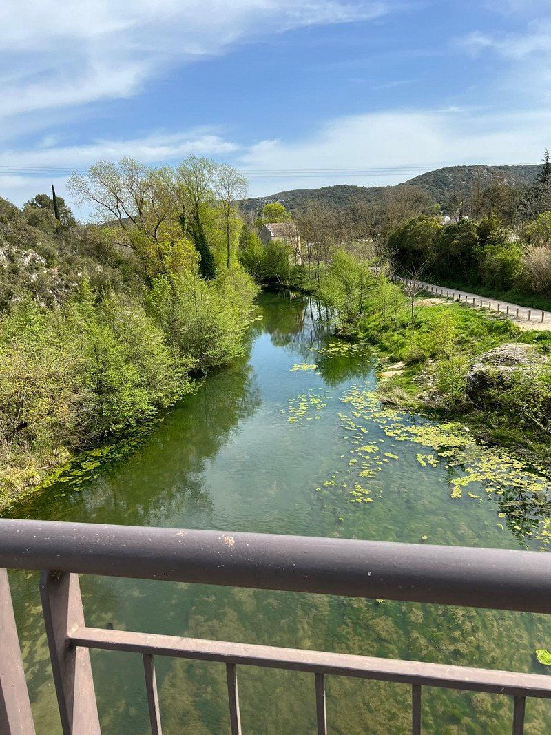
Camping La Sousta
ACSI p. 408
Beautiful CP many trees. If you want to watch TV, you have to be careful where you stand. We chose seat 246 and can see the river.
Super idyllic 🥰
Sanitary facilities clean, with toilet paper 😅
WiFi is free for 30 minutes, after that you have to pay.
The night was very quiet and we were woken up by the chirping of birds. Fantastic ☀️
28 Avenue du Pont du Gard, 30210, Remoulins, Frankreich
43° 56' 55.5" N 4° 32' 44.1" E
43.9487500 4.5455900
• Head south on Avenue du Pont du Gard. Go for 53 m.
• Turn left onto Lieu-dit La Couasse (D981). Go for 185 m.
• Continue on Avenue du Pont du Gard (D981). Go for 1.3 km.
• Take the 2nd exit from roundabout onto D6086 toward A9/Avignon/Montélimar/Alès/Uzès/Bagnols S/C./Pont du Gard. Go for 1.6 km.
• Take the 2nd exit from Carrefour de l'Arnède roundabout onto D6100 toward A9/Montélimar/Nîmes/Avignon/Les Angles/Villeneuve lez A./Fournes/Roquemaure. Go for 1.8 km.
• Take the 2nd exit from roundabout onto A9 (La Languedocienne) toward Nîmes/Aéroport Garons/Arles/Montpellier/Toulouse/Barcelone. Go for 252 km.
• Continue on AP-7 (Autopista de la Mediterrània). Go for 136 km.
• Keep right onto AP-7 (Autopista de la Mediterrània) toward Lleida/E-90/AP-2/Tarragona/Sabadell/C-58/Túnels de Vallvidrera/E-9/Manresa/C-16/Polígon Industrial de Zona Franca/Fira. Go for 185 km.
• Take exit 41 toward Amposta/N-340/La Ràpita. Go for 2.2 km.
• Take the 2nd exit from roundabout onto N-340a toward N-340/Castelló/Tarragona. Go for 902 m.
• Take the 1st exit from roundabout onto N-340 toward Amposta S/Sant Carles de la Ràpita/Castelló. Go for 12.9 km.
• Pass 2 roundabouts and continue on N-340. Go for 11.2 km.
• Turn left. Go for 460 m.
• Turn right toward Partida El Camaril. Go for 459 m.
• Continue on Partida El Camaril. Go for 192 m.
• Arrive at Partida El Camaril. Your destination is on the right.
☍
606,6 km
(5 hrs. 30 min.)
Day
Day
Day
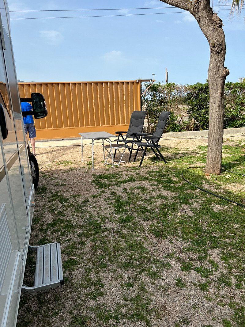
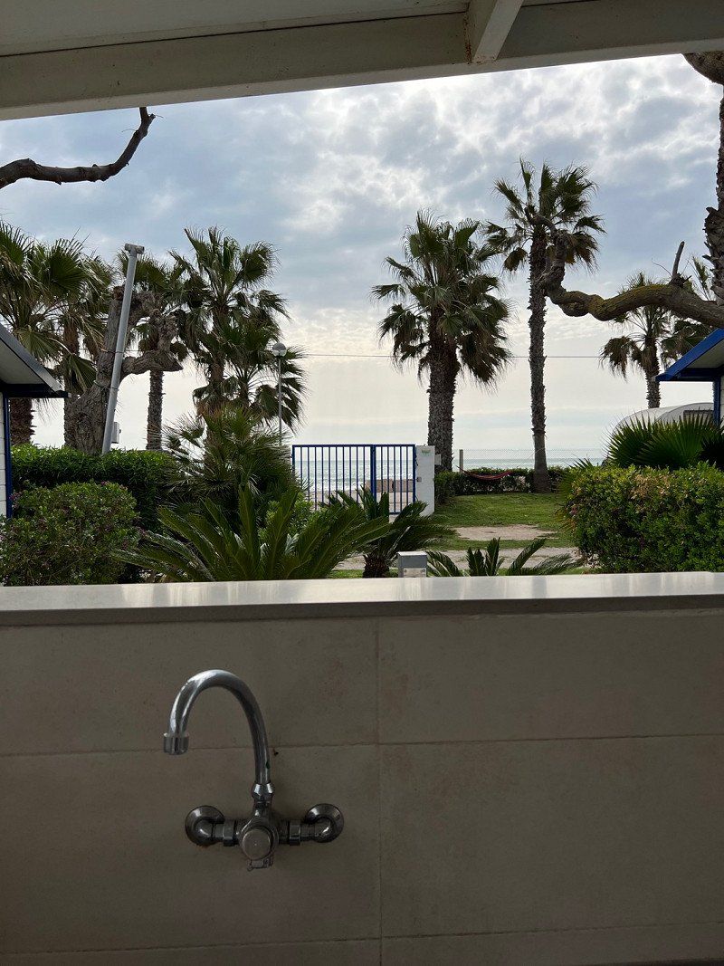
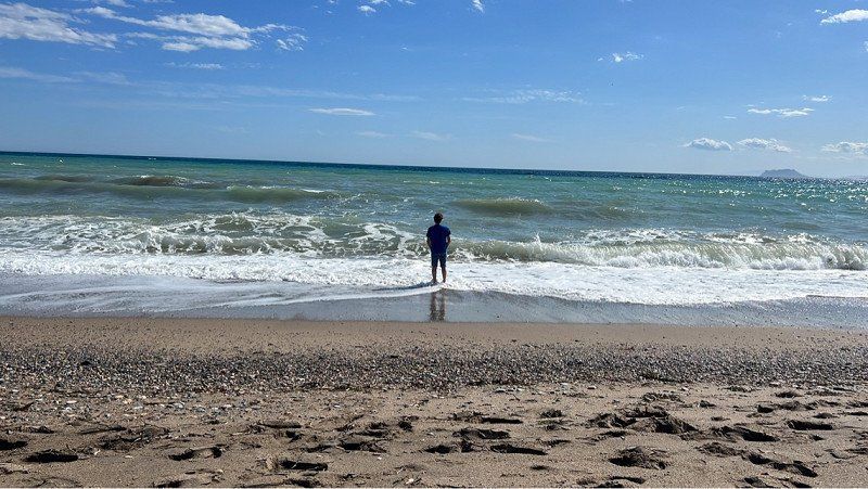
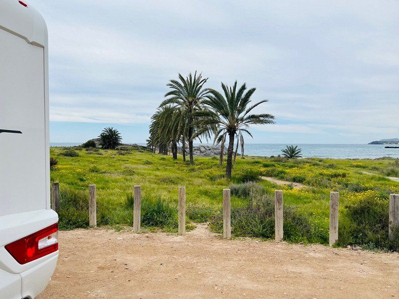
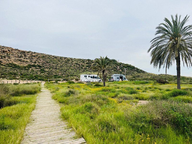
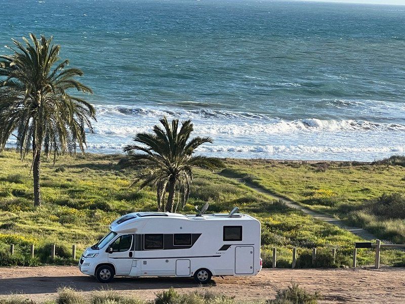
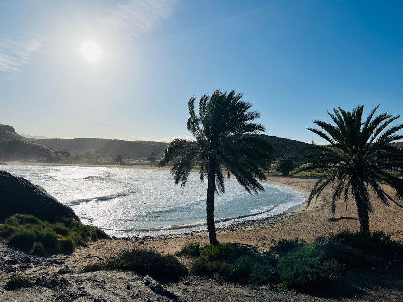
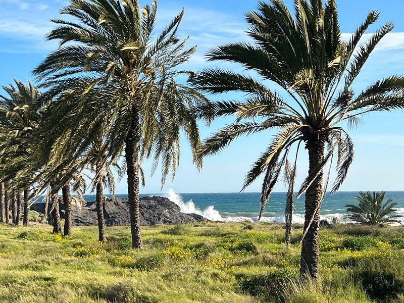
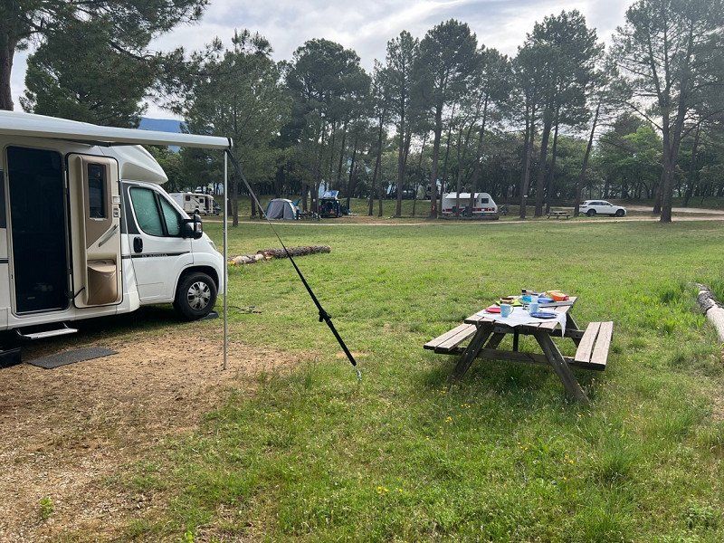
Camping Estanyet
04/14 Reception very friendly. We got 19th place. Since there aren't that many trees here, the bowl will also work 😅
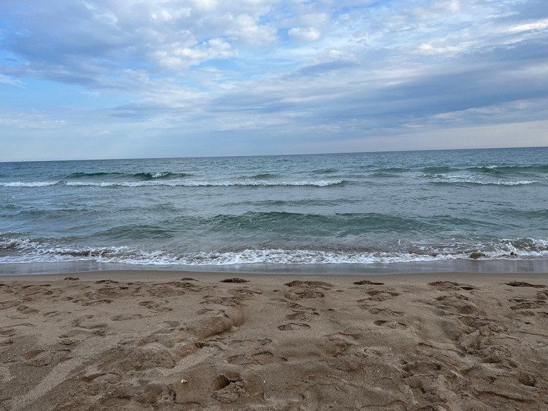
At the end of the CP there is access to the sea. Beautiful 🤩
The sanitary facilities are simply functional. Unfortunately not always so clean. But the view while rinsing is awesome 😅
43569, Alcanar, Spanien
40° 32' 24.3" N 0° 31' 12.2" E
40.5400700 0.5200600
• Head toward Camí de Virol on Partida El Camaril. Go for 903 m.
• Turn slightly left toward N-340. Go for 208 m.
• Turn left onto N-340. Go for 19.5 km.
• Take ramp toward Benicarló sud/Benicarló Sur/E-15/AP-7. Go for 587 m.
• Take the 2nd exit from roundabout onto AP-7 (Autopista del Mediterráneo) toward Valencia. Go for 115 km.
• Keep left onto V-21 toward Valencia (Norte)/Puçol/V-23/Sagunt/Sagunto. Go for 19.6 km.
• Take the 2nd exit from Plaza Cardenal Vicente Enrique y Tarancón roundabout onto Avenida de Aragón toward Estadi Mestalla/Av. Aragón/Av. d'Aragó/Grans Víes. Go for 749 m.
• Take the 2nd exit from roundabout onto Avenida de Aragón. Go for 209 m.
• Take the 3rd exit from Plaza Zaragoza roundabout. Go for 90 m.
• Continue on Puente de Aragón. Go for 208 m.
• Continue toward Avenida Jacinto Benavente. Go for 48 m.
• Turn left onto Avenida Jacinto Benavente toward Alicante/Alacant/Madrid/A-3/Ciudad de las Artes y Las Ciencias/El Saler. Go for 719 m.
• Continue on Calle del Alcalde Reig toward Ciudad de las Artes y Las Ciencias/El Saler. Go for 532 m.
• Take the 2nd exit from roundabout onto Avenida Profesor López Piñero (V-15) toward Madrid/Aeropuerto/A-3/Hospital La Fe/Ciutat de les Arts i les Ciències. Go for 107 m.
• Keep left onto Avenida Profesor López Piñero (V-15). Go for 3.4 km.
• Continue on CV-500. Go for 6.5 km.
• Pass 3 roundabouts and continue on Avenida de los Pinares (CV-500). Go for 6.4 km.
• Arrive at Avenida de los Pinares (CV-500). Your destination is on the right.
☍
174,9 km
(1 hrs. 50 min.)
Day
Day
Day
Day
Camping Devesa Gardens
04/18/22
Nice place, good sanitary facilities with no storage space in the showers.
The CP is ideal for families with children.
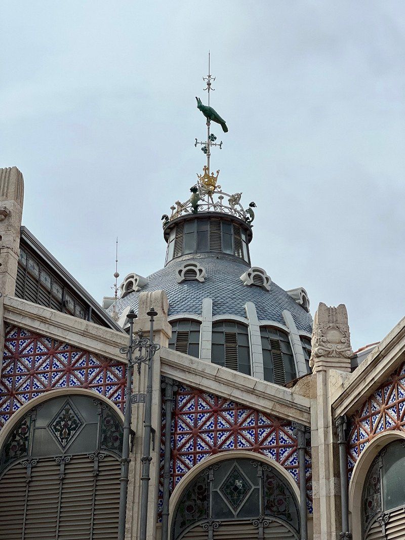
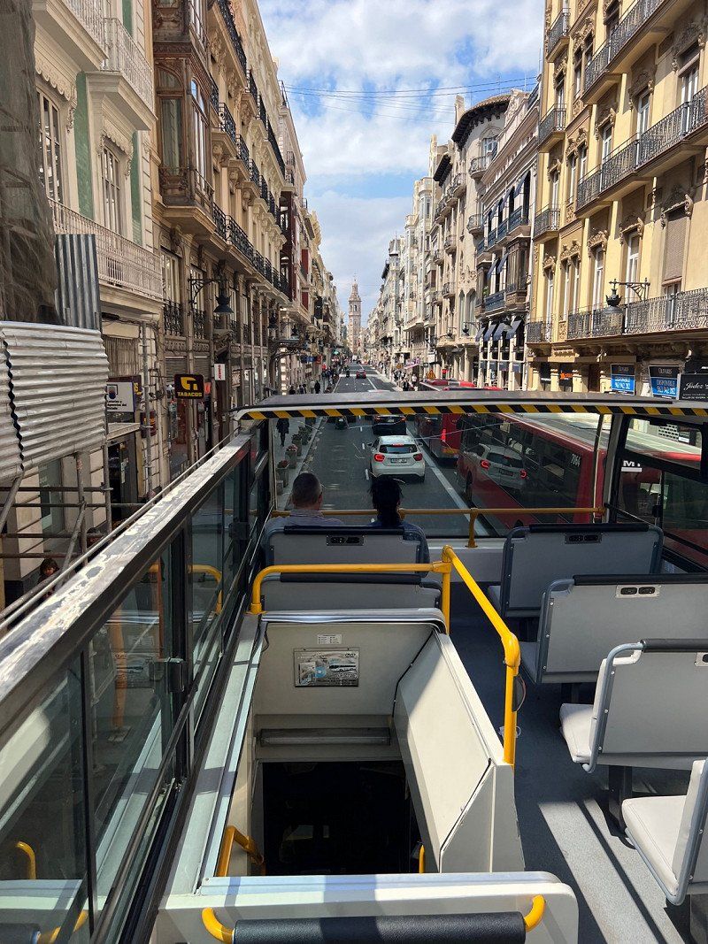
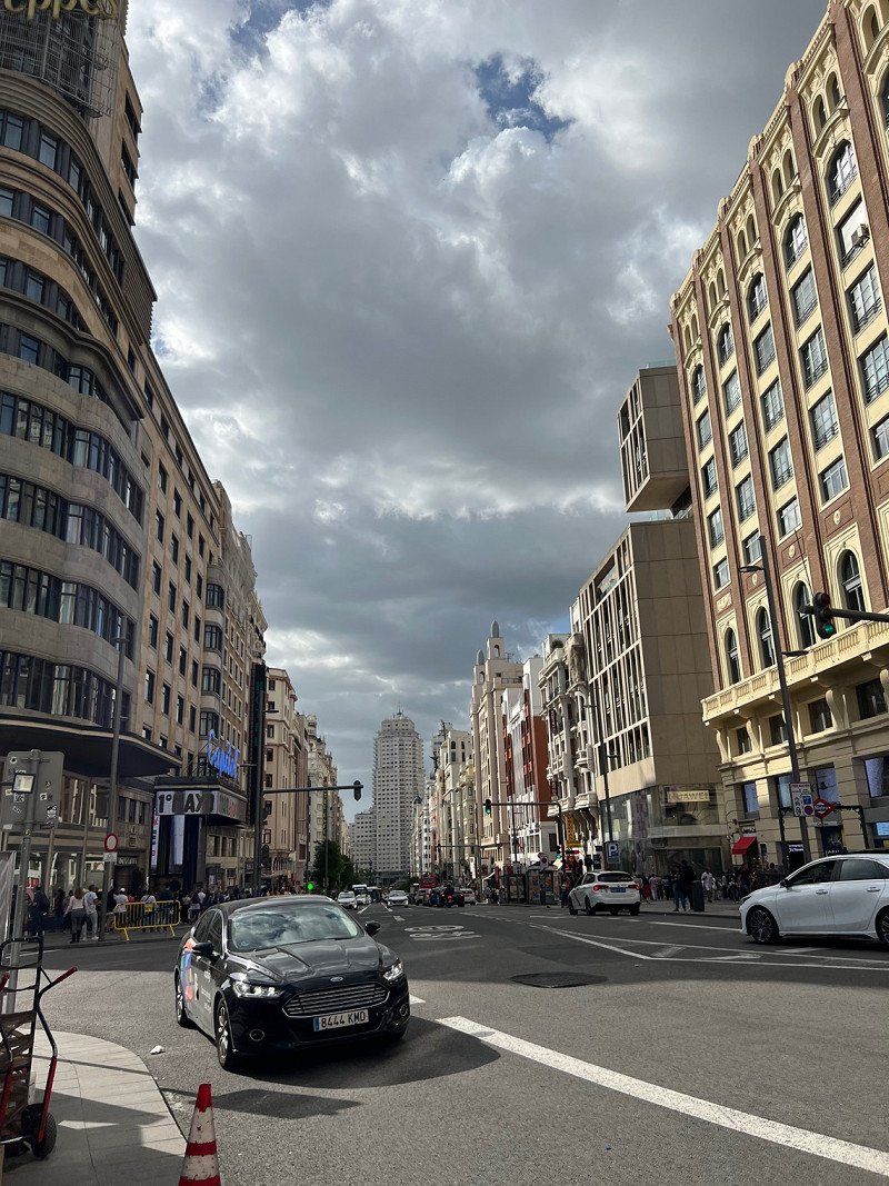
We chose this place because we want to see Valencia and there is a good bus connection here.
Bus ride to Valencia costs €1.50 per person one way.
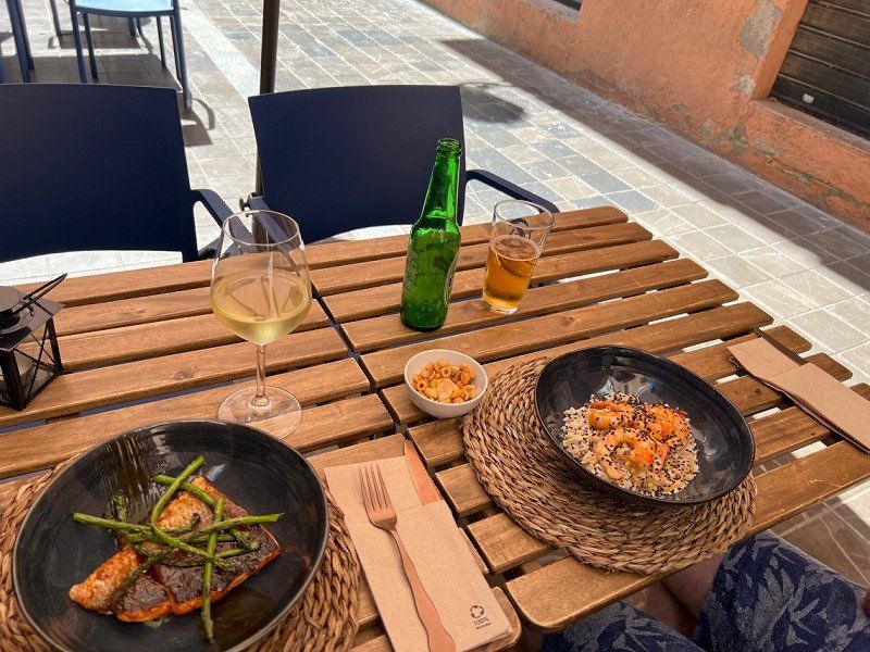
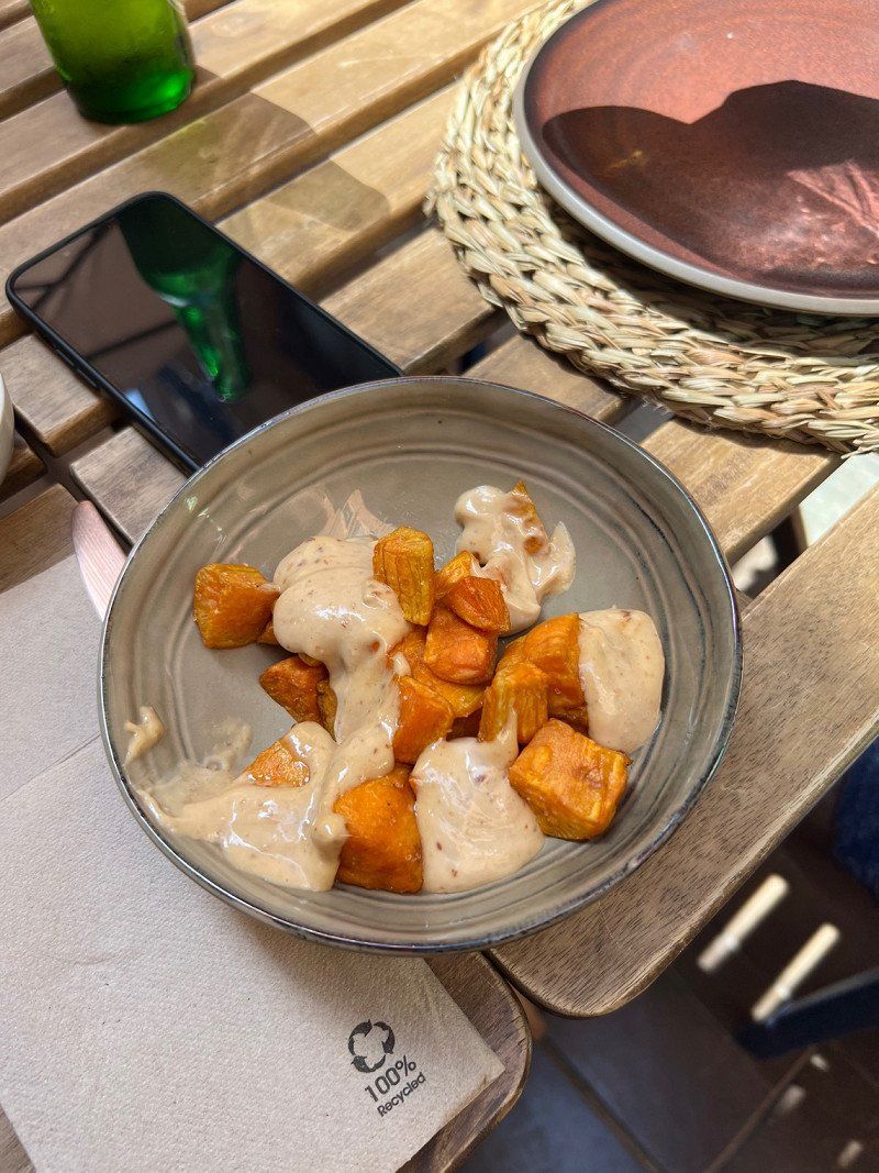
The restaurant in Valencia, which opened in April 2022, deserves a special mention. From the service to the delicious food, we were totally amazed at mumarestaurante.com.
Ctra. El Saler km 13, 46012, Valencia, Spanien
39° 19' 22.9" N 0° 18' 33.8" W
39.3230200 -0.3094000
• Head southeast on Avenida de los Pinares (CV-500). Go for 2.1 km.
• Pass 5 roundabouts and continue on CV-500. Go for 12.0 km.
• Continue on Avenida del Mar (CV-500). Go for 559 m.
• Take the 1st exit from roundabout onto Avenida Ribera Baixa (CV-500) toward Valencia/N-332/Alacant/CV-515/Algemesi. Go for 528 m.
• Take the 2nd exit from roundabout onto Avenida Ribera Baixa (CV-500) toward Valencia/N-332/Alacant/CV-515. Go for 852 m.
• Take the 4th exit from roundabout toward CV-515. Go for 107 m.
• Continue on Avenida Ribera Baixa. Go for 163 m.
• Continue toward Algemesi. Go for 40 m.
• Take the 1st exit from roundabout onto Avenida de Albalat (CV-515) toward Algemesi/Albalat de la Ribera/Algemesí. Go for 479 m.
• Continue on CV-515. Go for 574 m.
• Take the 4th exit from roundabout onto CV-515 toward Algemesí. Go for 5.7 km.
• Take the 3rd exit from roundabout onto Vía Sucronense (CV-515) toward Algemesí. Go for 480 m.
• Turn right onto CV-516 toward CV-42/Almussafes. Go for 1.1 km.
• Take the 2nd exit from roundabout onto CV-516 toward Algemesi/CV-42. Go for 335 m.
• Keep left onto CV-516. Go for 558 m.
• Take the 1st exit from roundabout onto Avenida de las Cooperativas (CV-516) toward Algemesí/CV-42. Go for 775 m.
• Take the 3rd exit from roundabout onto CV-42. Go for 2.5 km.
• Take the 4th exit from roundabout onto CV-42 toward Alzira. Go for 1.9 km.
• Take the 2nd exit from roundabout onto CV-523 toward Guadassuar. Go for 1.7 km.
• Continue on Calle Valencia (CV-523). Go for 574 m.
• Continue on Calle Río Magro (CV-522). Go for 112 m.
• Take the 2nd exit from roundabout onto Calle Río Magro (CV-522) toward Alzira/l'Alcúdia/Alginet. Go for 130 m.
• Turn left onto Avenida de la Diputación toward l'Alcúdia/Alzira. Go for 1.1 km.
• Take the 1st exit from roundabout onto Calle Colón (CV-50). Go for 253 m.
• Take the 1st exit from roundabout onto CV-50. Go for 683 m.
• Take the 2nd exit from roundabout onto CV-50 toward l'Alcúdia/Albacete/A-7. Go for 298 m.
• Take the 2nd exit from roundabout onto A-7 (Autovía del Mediterráneo) toward Albacete. Go for 25.0 km.
• Continue on A-35 toward Albacete/Murcia. Go for 32.7 km.
• Take exit 11 toward La Font de la Figuera/Alacant/Alicante/Murcia onto A-33. Go for 92.9 km.
• Continue on A-30 (Autovía de Murcia). Go for 7.2 km.
• Keep left onto A-30 (Autovía de Murcia). Go for 15.4 km.
• Take exit 134A toward Murcia/Ronda Oeste/Cartagena/E-15/Almería onto A-7/A-30 (Murcia Ronda Oeste). Go for 3.0 km.
• Take exit 138 toward Almería/Granada onto A-7 (Autovía del Mediterráneo). Go for 32.0 km.
• Take exit 601 toward Fuente Álamo/Cartagena onto RM-608. Go for 921 m.
• Continue on RM-2 (Autovía Alhama-Campo de Cartagena). Go for 3.6 km.
• Take exit 4 toward Mazarrón. Go for 364 m.
• Take the 2nd exit from roundabout onto RM-23 toward Mazarrón. Go for 10.1 km.
• Take the left exit toward Mazarrón onto RM-3 (Autovía de Mazarrón). Go for 14.5 km.
• Take the 2nd exit from roundabout onto RM-332 toward Puerto de Mazarrón. Go for 2.4 km.
• Take the 1st exit from roundabout onto D-6 toward Bolnuevo. Go for 226 m.
• Continue on Moreras (D-6). Go for 165 m.
• Continue on D-6. Go for 3.0 km.
• Take the 1st exit from roundabout onto Avenida de Pedro López Meca toward Bolnuevo. Go for 430 m.
• Arrive at Avenida de Pedro López Meca. Your destination is on the left.
☍
279,6 km
(2 hrs. 51 min.)
Day
Day
Camping Playa De Mazarrón
20.04.
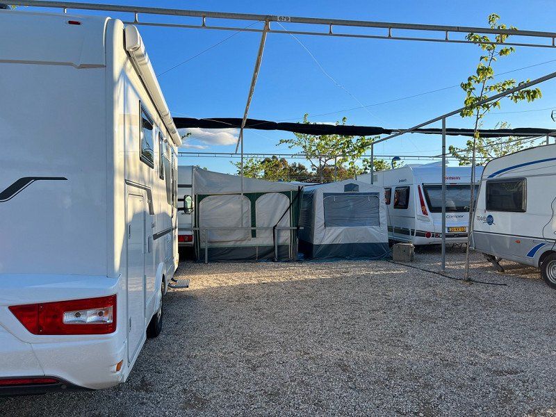
The reception was friendly. We were able to choose a pitch and took pitch 679. Apparently there is only WiFi at the front of the restaurant and we didn't book WiFi on the pitch. The sanitary facilities are very clean and otherwise very functional. Since it was time to do some laundry, we decided to turn on a machine at 8 a.m. Thank God we were so early because one of the two machines was still free 😅
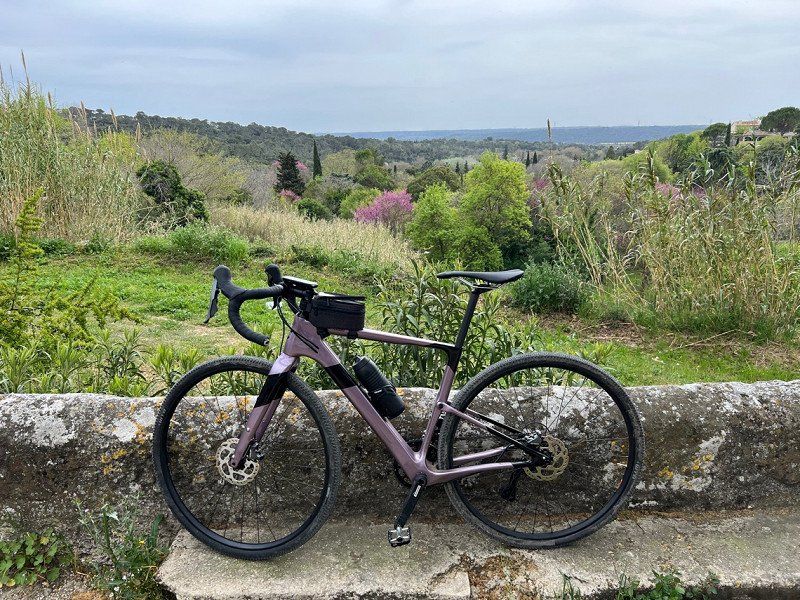
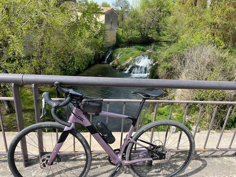
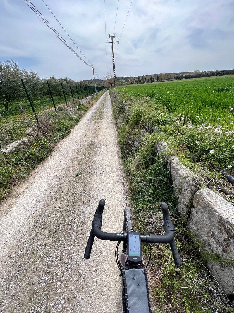
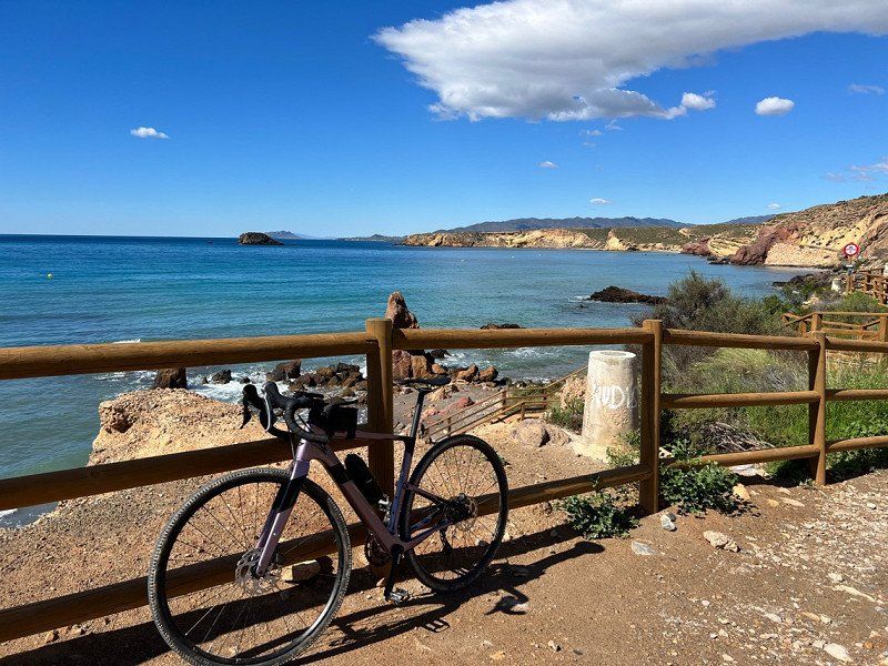
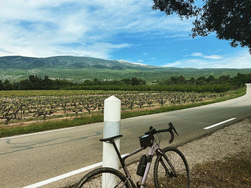
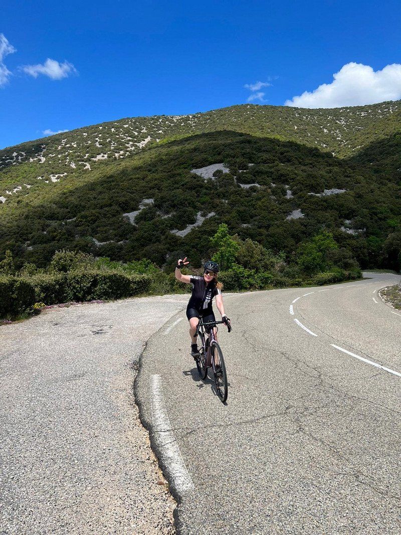
You may have noticed that we love cycling. Here we have traveled the most beautiful bike route so far.
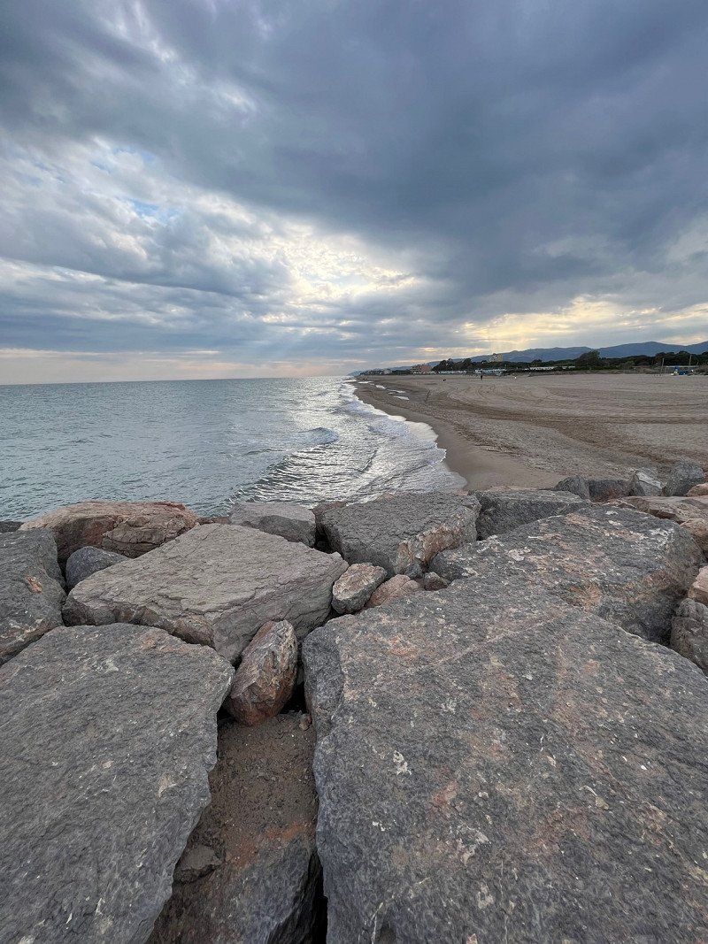
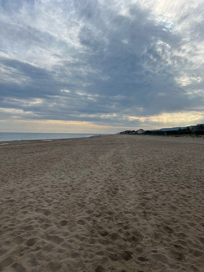
All in all, a very nice CP with a super great beach.
Ctra. Puerto de Mazarrón-bolnuevo Mazarrón, 30877, Bolnuevo, Spanien
37° 33' 47.3" N 1° 18' 14.6" W
37.5631400 -1.3040600
• Head northeast on Avenida de Pedro López Meca. Go for 412 m.
• Take the 3rd exit from roundabout onto D-6. Go for 3.0 km.
• Continue on Moreras (D-6). Go for 165 m.
• Continue on D-6. Go for 199 m.
• Take the 2nd exit from roundabout onto RM-332 toward N-332/E-15/AP-7/Vera/Almería/Cartagena/Águilas/RM-3/Murcia/RM-D4/Morata. Go for 2.3 km.
• Take the 2nd exit from roundabout onto RM-332 toward N-332/Águilas. Go for 5.3 km.
• Take the 3rd exit from roundabout toward Cañada de Gallego. Go for 478 m.
• Continue on Cañada de Gallego. Go for 1.3 km.
• Continue on Avenida Constitución-Gallego. Go for 736 m.
• Turn slightly left toward Cañada de Gallego. Go for 38 m.
• Continue on Cañada de Gallego. Go for 2.0 km.
• Keep right toward Urbanización Playa Castellar. Go for 302 m.
• Continue on Urbanización Playa Castellar. Go for 291 m.
• Continue straight ahead. Go for 402 m.
• Turn slightly right. Go for 736 m.
• Arrive at your destination on the right.
☍
17,7 km
( 24 min.)
Day
Day
Playa Percheles, Spanien
April 22nd
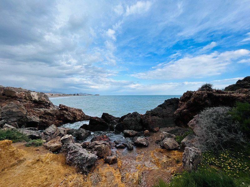
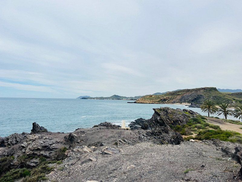
Half an hour's drive and we arrived at Snake Bay. Thank God it's not so crowded here, but it's a little cloudy. What a brilliant view and only for €6 a night. Of course you have to be self-sufficient here.
37° 31' 45.3" N 1° 22' 57.5" W
37.5292372 -1.3826506
• Head west. Go for 203 m.
• Turn left. Go for 717 m.
• Turn right toward Camino a Calnegre y Los Curas. Go for 201 m.
• Turn right onto Camino a Calnegre y Los Curas. Go for 1.1 km.
• Turn left onto Camino a Calnegre y Los Curas. Go for 442 m.
• Turn right. Go for 411 m.
• Turn slightly right toward Calle Maestro J. Rodrigo. Go for 2.3 km.
• Continue on Calle Maestro J. Rodrigo. Go for 767 m.
• Turn left onto RM-332. Go for 319 m.
• Take the 2nd exit from roundabout onto AP-7 toward Vera/Almería. Go for 55.3 km.
• Continue toward Autovía del Mediterráneo/A-7. Go for 502 m.
• Take the left exit toward Los Gallardos/Almería onto A-7 (Autovía del Mediterráneo). Go for 212 km.
• Take exit 910 toward Almuñécar (Este)/N-340. Go for 428 m.
• Take the 3rd exit from roundabout toward N-340/Almuñécar/E-15/A-7/Motril/Almería. Go for 150 m.
• Take the 1st exit from roundabout toward N-340/Almuñécar/Salobreña/Almería. Go for 2.0 km.
• Take the 1st exit from roundabout onto N-340 toward Almuñécar. Go for 3.5 km.
• Take the 3rd exit from roundabout onto N-340 toward Salobreña/Almería. Go for 757 m.
• Turn right onto Carretera Antigua N-340 toward Urbanización Los Pinos. Go for 148 m.
• Turn slightly right onto Camino Los Pinos. Go for 34 m.
• Turn slightly right onto Camino a Velilla. Go for 410 m.
• Turn right onto Calle al Club. Go for 391 m.
• Continue on Calle Lambda. Go for 113 m.
• Arrive at Calle Lambda. Your destination is on the left.
☍
282,1 km
(2 hrs. 49 min.)
Day
Calle Alclub, 48, 18690 Almuñécar, Spanien
Great pitch, nice owners! Costs €15 + €5 electricity per night.
In the evening from 9 p.m. the place is closed, only a small side door is open.
The city and the beach are close by.
The toilet and shower are functional and clean.
C. Alclub, 48, 18690 Almuñécar, Granada, Spanien
36° 44' 20.7" N 3° 40' 17.2" W
36.7390775 -3.6714547
• Head southeast on Calle Lambda. Go for 246 m.
• Turn right onto Calle Lambda. Go for 52 m.
• Continue on Calle La Romántica. Go for 253 m.
• Turn slightly right onto Avenida Los Pinos. Go for 170 m.
• Turn slightly left onto Camino Los Pinos. Go for 111 m.
• Turn slightly right onto Camino Los Pinos. Go for 69 m.
• Turn right onto Camino Los Pinos. Go for 111 m.
• Turn slightly left onto Carretera Antigua N-340. Go for 45 m.
• Turn slightly left onto Carretera Antigua N-340. Go for 116 m.
• Turn right onto N-340. Go for 2.6 km.
• Take the 4th exit from roundabout toward E-15/A-7/Málaga/Almería. Go for 2.0 km.
• Take the 2nd exit from roundabout toward Nerja-Málaga/E-15/A-7. Go for 116 m.
• Take the 2nd exit from roundabout onto A-7 (Autovía del Mediterráneo) toward Nerja/Málaga. Go for 86.0 km.
• Keep right toward A-357/Cártama/C.T.M./Mercamálaga. Go for 1.8 km.
• Take the exit toward Cártama onto A-357. Go for 49.6 km.
• Take ramp toward Teba/A-367/Ronda/A-7278. Go for 265 m.
• Take the 2nd exit from roundabout toward Teba/A-7278/Ronda/A-367. Go for 111 m.
• Take the 1st exit from roundabout onto A-367 toward Teba/A-7278/Ronda. Go for 40.6 km.
• Continue toward Carretera de Circunvalación/A-397. Go for 57 m.
• Take the 3rd exit from roundabout onto Carretera de Circunvalación (A-397) toward A-366/Algeciras. Go for 3.2 km.
• Take ramp toward Algeciras. Go for 368 m.
• Take the 2nd exit from roundabout onto Carretera de Circunvalación (A-369) toward Algeciras. Go for 2.7 km.
• Turn right. Go for 146 m.
• Arrive at your destination on the left.
☍
190,8 km
(2 hrs. 3 min.)
Day
Day
Camping El Sur
04/25/2022
The CP is very nice, the sanitary facilities are great and clean.
Washing clothes was the order of the day today. At €4 per wash and dryer, that's not exactly cheap.
The restaurant is recommended. Very tasty 😋
Ctra Algeciras km. 2.00, 29400, Ronda, Spanien
36° 43' 18" N 5° 10' 21" W
36.7216600 -5.1725000
• Head southeast. Go for 146 m.
• Turn left onto A-369. Go for 2.6 km.
• Continue toward A-397/San Pedro de Alcántara/Sevilla. Go for 36 m.
• Take the 2nd exit from roundabout toward A-397/San Pedro de Alcántara/Sevilla. Go for 102 m.
• Take the 3rd exit from roundabout onto Carretera Ronda-San Pedro (A-397) toward Sevilla. Go for 3.3 km.
• Take the 3rd exit from roundabout onto Carretera de Circunvalación (A-374) toward Sevilla/Algodonales. Go for 34.2 km.
• Keep left onto A-384 toward Villamartín/Jerez de la Frontera/A-375/Pto. Serrano/Sevilla. Go for 16.8 km.
• Take ramp onto A-375 toward Puerto Serrano/Sevilla. Go for 44.8 km.
• Take ramp onto A-362 toward Los Palacios/Sevilla/E-5. Go for 10.0 km.
• Take the 2nd exit from roundabout onto A-362 toward Los Palacios. Go for 565 m.
• Take ramp onto AP-4 (Autopista del Sur) toward Sevilla. Go for 8.8 km.
• Keep right onto AP-4A toward Dos Hermanas. Go for 2.9 km.
• Take the 3rd exit from roundabout onto N-4 toward avda. 4 de Diciembre/Dos Hermanas/Sevilla. Go for 1.6 km.
• Take the 3rd exit from roundabout onto N-4 toward Sevilla. Go for 696 m.
• Take the 4th exit from roundabout onto SE-3205 toward Isla Menor. Go for 247 m.
• Turn right. Go for 27 m.
• Arrive at your destination on the right.
☍
126,8 km
(1 hrs. 27 min.)
Day
Day
Camping Villsom
04/27/2022
Arrived very nice and got a super nice parking space no. 72. Wifi is only available in the reception area, but we can do without that. Bus connection to Seville every half hour and the bus stop is in front of the CP.
41703, Dos Hermanas, Spanien
37° 16' 39.6" N 5° 56' 11.7" W
37.2776700 -5.9365700
• Head toward Calle Cable. Go for 27 m.
• Turn right onto SE-3205. Go for 141 m.
• Pass 3 roundabouts and continue on SE-3205. Go for 3.5 km.
• Take the 1st exit from roundabout onto A-4 (Autovía del Sur) toward Sevilla. Go for 8.3 km.
• Take the exit toward E-1/Huelva/A-49/Mérida onto A-66 (Ronda Urbana Sur). Go for 190 km.
• Take the exit toward E-90/Madrid/Cáceres onto A-5 (Autovía de Extremadura). Go for 324 km.
• Take exit 18 toward Alcorcón onto M-50. Go for 7.5 km.
• Take exit 69 toward Brunete onto M-501 (Autovía de los Pantanos). Go for 3.3 km.
• Take exit 7. Go for 408 m.
• Turn right onto Lugar Camping Arco Iris. Go for 35 m.
• Arrive at Lugar Camping Arco Iris. Your destination is on the right.
☍
537,8 km
(4 hrs. 30 min.)
Day
Day
Day
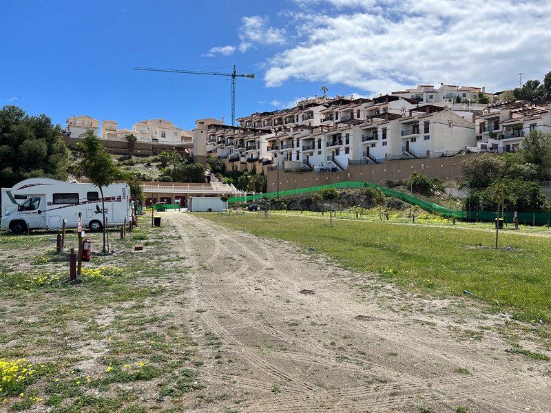
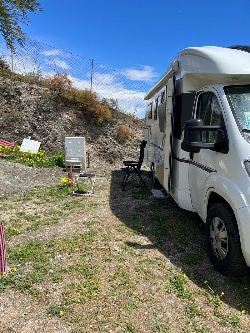
Camping Madrid Arco Iris
04/30
Pitch 140 has TV reception and we have WiFi without any problems.
The sanitary facilities are not that clean. Once you get the hang of it, the bus connections are pretty good. (From the CP to the city we took line 567, then after one stop we changed to the 518. The end point was the bus station, which is right in the city center)
Crta M501 KM 7,100 s/n, 28670, Villaviciosa de Odón, Spanien
40° 22' 52.3" N 3° 54' 26" W
40.3812000 -3.9072300
• Head southeast on Lugar Camping Arco Iris. Go for 35 m.
• Turn right. Go for 1.3 km.
• Take the 4th exit from roundabout toward Boadilla/Madrid. Go for 290 m.
• Take left ramp onto M-501 (Autovía de los Pantanos) toward Boadilla del Monte/Madrid. Go for 7.7 km.
• Take exit 1A toward Badajoz/A-5/R-5/A-42/A-4/R-4/A-3 onto M-40. Go for 8.5 km.
• Take exit 28B toward Toledo/A-42 onto M-45. Go for 30.1 km.
• Keep right onto M-50 toward M-21/M-40/Feria de Madrid/Aeropuerto/E-90/Zaragoza/A-2/San Fernando de Henares/M-206/Torrejón de Ardoz. Go for 2.6 km.
• Take exit 19A toward Torrejón de Ardoz. Go for 601 m.
• Keep left toward Torrejón de Ardoz. Go for 1.3 km.
• Continue on Carretera Nacional II. Go for 790 m.
• Continue on Calle Maestro Chapí. Go for 564 m.
• Take left ramp onto A-2 (Autovía del Nordeste) toward Ajalvir/M-108/Alcalá de Henares/Zaragoza. Go for 309 km.
• Continue on AP-2 (Autopista Zaragoza Mediterráneo). Go for 214 km.
• Take the exit toward El Vendrell/Tarragona/Valencia onto AP-7 (Autopista de la Mediterrània). Go for 7.6 km.
• Take exit 31 toward El Vendrell/N-340/Coma-ruga/Vilanova i la G. onto C-32 (Autopista Pau Casals). Go for 44.9 km.
• Take exit 44 toward Castelldefels sud. Go for 364 m.
• Keep left onto Avinguda de Castelldefels (C-31) toward Barcelona/Gavà. Go for 6.4 km.
• Turn right onto Carrer Autovia de Castelldefels. Go for 63 m.
• Turn right. Go for 107 m.
• Turn right. Go for 35 m.
• Turn slightly left. Go for 18 m.
• Arrive at your destination on the left.
☍
636,2 km
(5 hrs. 37 min.)
Day
Day
Camping 3 Estrellas
ACSI
We were only here for one night, basically just passing through.
Place E31 wasn't the burner, I also forgot to take a photo. But there are several of the extensive beaches. Sanitary facilities were quite ok. Large supermarket and good connection to Barcelona. Direct proximity to the airport, but that doesn't bother you.
Apartado De Correos 238, 08850, Gavà, Spanien
41° 16' 18" N 2° 2' 36" E
41.2716600 2.0433300
• Head east. Go for 77 m.
• Turn left. Go for 70 m.
• Turn left. Go for 66 m.
• Turn right toward Carrer Autovia de Castelldefels. Go for 36 m.
• Turn left onto Carrer Autovia de Castelldefels. Go for 39 m.
• Turn right onto Carrer Autovia de Castelldefels. Go for 40 m.
• Turn right onto Autovia de Castelldefels (C-31). Go for 6.2 km.
• Take exit 192AB toward Girona-Lleida/Aeroport Terminal T2/Barcelona/Ronda de Dalt onto B-22. Go for 1.5 km.
• Take the exit toward Barcelona/Ronda de Dalt/Tarragona/Lleida/Girona onto B-20. Go for 3.0 km.
• Continue on C-32 (Ronda de Dalt). Go for 4.3 km.
• Continue on B-20 (Ronda de Dalt). Go for 11.6 km.
• Take the left exit toward Girona/AP-7/Terrassa/Manresa/C-58 onto B-10 (Ronda del Litoral). Go for 1.6 km.
• Continue on C-58. Go for 365 m.
• Keep right toward Girona/A-7/França. Go for 559 m.
• Continue on C-33 (Autopista de Barcelona a la Jonquera). Go for 12.2 km.
• Continue on AP-7 (Autopista de Barcelona a Mollet del Vallès). Go for 136 km.
• Continue on A9 (La Catalane). Go for 157 km.
• Take exit 33 toward Sète/Frontignan/Balaruc/Mèze. Go for 711 m.
• Keep left onto D600 toward Sète/Montpellier/Balaruc/Frontignan/Gigean/Fabrègues/Villeveyrac/Z.I. des Trouyaux. Go for 6.8 km.
• Take the 3rd exit from Rond-Point Salvador Allende roundabout onto D600 toward Montpellier/Sète/Frontignan-Plage/Z.I. les Eaux Blanches. Go for 742 m.
• Keep left onto D600 toward Montpellier. Go for 54 m.
• Take the 3rd exit from roundabout onto D612 toward Montpellier/Frontignan-Plage. Go for 2.3 km.
• Take ramp. Go for 228 m.
• Take the 2nd exit from roundabout onto D50. Go for 462 m.
• Take the 2nd exit from roundabout onto Rue Charcot. Go for 620 m.
• Arrive at Rue Charcot. Your destination is on the right.
☍
347,0 km
(3 hrs. 15 min.)
Day
Camping La Lagune
ACSI
Super nice reception.
Sanitary facilities clean.
Nice little campsite.
10, avenue des Vacances - L'Entrée, 34110, FRONTIGNAN, Frankreich
43° 25' 47.5" N 3° 45' 35.1" E
43.4298520 3.7597429
• Head toward Rue des Courlis on Rue Charcot. Go for 574 m.
• Take the 1st exit from roundabout onto D50. Go for 395 m.
• Take the 2nd exit from roundabout. Go for 127 m.
• Turn left and take ramp onto D612. Go for 2.2 km.
• Take the 1st exit from roundabout onto D600 toward A9/Béziers/Frontignan-Centre/Balaruc/Z.I. les Eaux Blanches/La Peyrade. Go for 724 m.
• Take the 2nd exit from Rond-Point Salvador Allende roundabout onto D600 toward A9/Montpellier/Béziers. Go for 7.1 km.
• Take ramp onto A9 (La Languedocienne) toward Montpellier/Lyon. Go for 93.7 km.
• Take exit 23 toward Avignon. Go for 1.0 km.
• Take the 1st exit from roundabout onto N100 toward A7/Avignon. Go for 3.5 km.
• Pass 5 roundabouts and continue on N100. Go for 14.5 km.
• Take ramp toward A7/Aéroport Avignon. Go for 247 m.
• Keep left toward Barthelasse. Go for 216 m.
• Continue on Boulevard Saint-Dominique. Go for 233 m.
• Continue on Boulevard de l'Oulle. Go for 266 m.
• Keep left. Go for 124 m.
• Keep right toward Boulevard du Rhône. Go for 250 m.
• Continue on Boulevard du Rhône. Go for 209 m.
• Continue on Quai Joël Bameule. Go for 516 m.
• Continue on Boulevard Saint-Lazare. Go for 306 m.
• Take ramp onto Route Touristique du Docteur Pons (D225) toward A7/Orange/Carpentras. Go for 2.2 km.
• Take ramp onto D907. Go for 2.3 km.
• Keep left onto D225. Go for 17.6 km.
• Take the 2nd exit from roundabout onto D942 R toward A7/(Lyon)/Orange/Gap/Aubignan/Vaison la Romaine/Mont-Ventoux. Go for 2.1 km.
• Take the 2nd exit from roundabout onto D942 R toward Gap/Vaison la Romaine/Mont-Ventoux/Aubignan/Bédoin. Go for 1.5 km.
• Take the 3rd exit from roundabout onto D942 R toward Bédoin/Mont-Ventoux Sud. Go for 1.2 km.
• Take the 3rd exit from roundabout onto Route de Bédoin (D974) toward Crillon-le-Brave/Bédoin/Mt-Ventoux Sud/Le Ventoux. Go for 4.5 km.
• Take the 2nd exit from roundabout onto Route de Bédoin (D974). Go for 2.5 km.
• Take the 3rd exit from roundabout onto D974. Go for 3.7 km.
• Take the 3rd exit from roundabout onto Route de Carpentras (D974) toward Bédoin/Mt Ventoux/Crillon-le-Brave. Go for 1.1 km.
• Take the 3rd exit from roundabout onto Route de Carpentras (D974). Go for 279 m.
• Turn right onto Chemin des Treilles. Go for 16 m.
• Turn right onto Chemin de la Garenne. Go for 56 m.
• Turn slightly left onto Chemin de la Garenne. Go for 88 m.
• Arrive at Chemin de la Garenne. Your destination is on the right.
☍
165,4 km
(1 hrs. 56 min.)
Day
Day
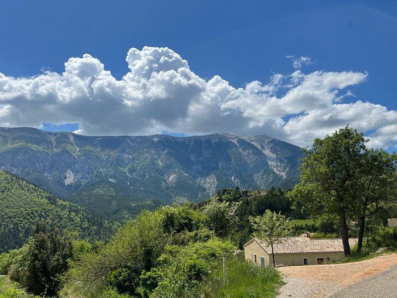
Camping la Garenne
May 5, 2022
The CP is beautifully located. The village of Bedoin can be reached on foot.
Of course Mont Ventoux is also close 😊
The sanitary facilities are clean.
We haven't tried the restaurant at the CP yet, as there are such nice little restaurants nearby.
84410, Bedoin, Frankreich
44° 7' 13.4" N 5° 10' 50.5" E
44.1204000 5.1807000
• Head southwest on Chemin de la Garenne. Go for 144 m.
• Turn left onto Chemin des Treilles. Go for 16 m.
• Turn left onto Route de Carpentras (D974). Go for 255 m.
• Pass 4 roundabouts and continue on D974. Go for 11.7 km.
• Take the 3rd exit from roundabout onto D942 R toward A7/A9/Orange/Avignon/Gap/Bollène/Vaison la Romaine/Mt Ventoux-Nord. Go for 1.2 km.
• Take the 2nd exit from roundabout onto D942 R toward A7/Orange/Avignon/Cavaillon/Monteux/Isle sur la Sorgue. Go for 1.5 km.
• Take the 2nd exit from roundabout onto Route d'Orange (D950) toward Lyon/A7/Orange/Loriol du Comtat/Sarrians. Go for 2.3 km.
• Pass 5 roundabouts and continue on Route d'Orange (D950). Go for 9.1 km.
• Take the 2nd exit from roundabout onto D950 toward A7/Orange/Avignon/Courthézon/Z.A. la Grange Blanche. Go for 2.6 km.
• Pass 2 roundabouts and continue on D950. Go for 1.9 km.
• Take the 3rd exit from roundabout onto D907 toward A7/Orange. Go for 2.0 km.
• Take the 3rd exit from roundabout toward A7/Valence/Lyon/Avignon/Marseille. Go for 350 m.
• Take ramp onto A7 (Autoroute du Soleil) toward Valence/Lyon. Go for 194 km.
• Take the exit toward Genève/Grenoble/St Fons onto D383 (Boulevard Pierre Sémard). Go for 2.7 km.
• Keep right onto D383 toward Paris/Genève/Grenoble/Chambéry/Périphérique/Porte du Moulin à Vent. Go for 814 m.
• Keep left onto Boulevard Laurent Bonnevay (D383) toward Chambéry/Grenoble/Bourg/Genève/Paris/Vénissieux/Villeurbanne. Go for 3.4 km.
• Keep left onto Boulevard Laurent Bonnevay (D383) toward Bourg/Genève/Paris/Villeurbanne/Bron-Centre. Go for 2.5 km.
• Keep left onto Boulevard Laurent Bonnevay (D383) toward Bourg/Genève/Paris/Lyon-Centre/Villeurbanne-Centre. Go for 4.5 km.
• Take ramp onto A42 (Pont de Croix Luizet) toward Genève/Rocade Est. Go for 3.2 km.
• Take the left exit toward Paris/Genève/Bourg en B./Aéroport Saint Exupéry onto A42/A46. Go for 1.1 km.
• Take the exit toward Bourg en B./Genève/Strasbourg/Aéroport Saint-Exupéry onto A42. Go for 49.0 km.
• Continue on A40. Go for 23.0 km.
• Keep left onto A39 (Autoroute Verte) toward Strasbourg/Lille/Paris Par A5/Dijon/Lons le S. Go for 111 km.
• Take the exit toward Strasbourg/Besançon/Dole/Authume onto A36 (La Comtoise). Go for 123 km.
• Keep left onto A36 (La Comtoise) toward Strasbourg/Mulhouse/Belfort/Montbéliard. Go for 45.1 km.
• Take exit 15 toward Colmar/Guebwiller/Cernay/Thann onto D83. Go for 19.5 km.
• Take the 2nd exit from roundabout onto D83 toward Colmar/Mulhouse/Guebwiller/Rouffach/Écomusée. Go for 19.7 km.
• Take ramp toward Strasbourg/Basel/Mulhouse/Herrlisheim/Eguisheim. Go for 146 m.
• Turn left onto D1 BIS toward Eguisheim. Go for 268 m.
• Continue on Route d'Eguisheim (D1 BIS). Go for 266 m.
• Continue on D1 BIS. Go for 856 m.
• Continue on Route de Herrlisheim (D1 BIS). Go for 168 m.
• Take the 2nd exit from roundabout onto Route de Wettolsheim (D1 BIS). Go for 259 m.
• Turn left onto Rue des Fleurs. Go for 371 m.
• Continue on Rue du Riesling. Go for 25 m.
• Continue on Rue du Traminer. Go for 145 m.
• Continue on Place Charles de Gaulle. Go for 13 m.
• Turn right onto Place Charles de Gaulle. Go for 88 m.
• Turn slightly left onto Place Charles de Gaulle. Go for 15 m.
• Turn right onto Rue de Hautvillers. Go for 293 m.
• Turn slightly left onto Rue du Bassin. Go for 132 m.
• Arrive at Rue du Bassin. Your destination is on the right.
☍
639,0 km
(5 hrs. 56 min.)
Day
Day
Day
Day
Day
Day
Day
Day
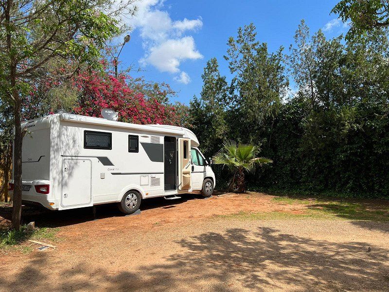
Camping Les Trois Châteaux
ASCI
Very nice reception and the sanitary facilities are clean. Not completely new but ok.
Toilet paper and soap available.
Wifi doesn't work properly here either, but we've been used to that since the start of our tour.
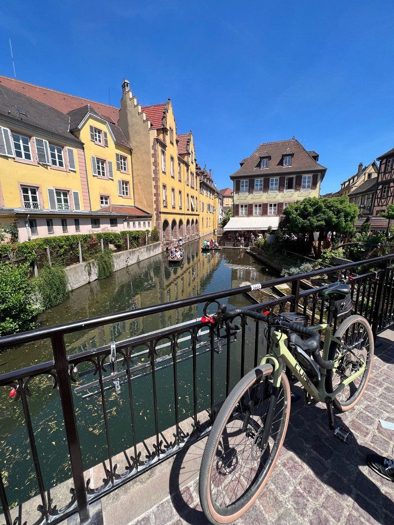
Otherwise very central to the historic old town of Eguisheim.
Only 5 minutes on foot. It's 7.5 km cross-country by bike to Colmar.
rue du Bassin 10, 68420, Eguisheim, Frankreich
48° 2' 36" N 7° 17' 55.6" E
48.0433300 7.2987700
• Head southeast on Rue du Bassin. Go for 132 m.
• Turn slightly right onto Rue de Hautvillers. Go for 293 m.
• Continue on Place Charles de Gaulle. Go for 74 m.
• Turn left onto Place Charles de Gaulle. Go for 50 m.
• Continue on Rue du Traminer. Go for 145 m.
• Continue on Rue du Riesling. Go for 25 m.
• Continue on Rue des Fleurs. Go for 371 m.
• Turn left onto Route de Wettolsheim (D1 BIS). Go for 850 m.
• Continue on D1 BIS. Go for 363 m.
• Take the 3rd exit from roundabout onto D83 toward Nancy/Strasbourg/Munster/Wintzenheim/Z.I. Colmar. Go for 2.4 km.
• Take the 3rd exit from roundabout onto Carrefour Ligibel (D83) toward Freiburg/Nancy/Strasbourg/Z.I. Colmar/Ingersheim/Turckheim. Go for 1.0 km.
• Take the 3rd exit from roundabout onto Carrefour Ligibel (D83) toward Freiburg/Nancy/Strasbourg/Z.I. Colmar/Ingersheim. Go for 825 m.
• Pass 5 roundabouts and continue on Rue du 152ème Régiment d'Infanterie (D83). Go for 3.4 km.
• Take the 3rd exit from roundabout onto Avenue Gilbert Meyer toward Nancy/St Dié/Strasbourg/Houssen. Go for 714 m.
• Pass 2 roundabouts and continue on Avenue Gilbert Meyer (D83). Go for 2.3 km.
• Take the 2nd exit from roundabout onto D83. Go for 11.3 km.
• Keep left onto A35. Go for 39.0 km.
• Continue on A355 toward E25/A4/Paris/A35/Karlsruhe/Strasbourg. Go for 23.6 km.
• Keep right toward A35/A4/Schiltigheim/Karlsruhe/Lauterbourg/Hoerdt. Go for 2.6 km.
• Continue on A35. Go for 47.0 km.
• Continue on B9. Go for 6.1 km.
• Turn right onto K18 toward Hagenbach. Go for 2.0 km.
• Turn right onto K19 toward Hagenbach. Go for 1.6 km.
• Turn left onto L540 toward Hagenbach. Go for 280 m.
• Take the 2nd exit from roundabout onto L540. Go for 162 m.
• Continue on Habsburgerallee. Go for 1.0 km.
• Turn left onto Friedenstraße (L540). Go for 385 m.
• Take the 3rd exit from roundabout onto L540 toward A65/Germersheim/Wörth/B9. Go for 1.9 km.
• Continue on B9. Go for 41.1 km.
• Take ramp onto A61 toward Heidelberg/Walldorf/Heilbronn/Frankfurt. Go for 10.0 km.
• Take exit 65 toward Frankfurt/Mannheim onto A6. Go for 25.3 km.
• Continue on A67 toward Hannover/Frankfurt/Köln/Darmstadt. Go for 35.6 km.
• Continue on E451 (Darmstädter Kreuz). Go for 450 m.
• Continue on A5. Go for 70.7 km.
• Take exit 11 toward Köln/Dortmund/Wetzlar/Marburg/Gießen onto A45. Go for 134 km.
• Take exit 14 toward Werdohl/Halver/Lüdenscheid/Gewerbegebiet Horringhauser Höh. Go for 339 m.
• Continue on Brunscheider Straße (L655). Go for 628 m.
• Turn right onto Werdohler Landstraße (L691) toward Altena/Lüdenscheid. Go for 236 m.
• Keep right onto Lennestraße (L691). Go for 1.9 km.
• Keep left onto Rahmedestraße (L691). Go for 749 m.
• Keep right onto Rahmedestraße. Go for 278 m.
• Turn right onto Heedfelder Straße (L561). Go for 3.3 km.
• Turn right onto L692. Go for 1.6 km.
• Take the 3rd exit from roundabout onto A45 toward Dortmund. Go for 23.2 km.
• Take exit 9 toward Bremen/Hannover/A2/Kassel/A44/Flughafen Dortmund onto A1. Go for 80.9 km.
• Take exit 76 toward Greven/Emsdetten. Go for 406 m.
• Continue on Schiffahrter Damm (B481). Go for 1.4 km.
• Turn left onto Königstraße toward Greven. Go for 288 m.
• Pass 2 roundabouts and continue on Königstraße. Go for 642 m.
• Turn right onto Ostring. Go for 402 m.
• Arrive at Ostring. Your destination is on the right.
☍
583,3 km
(5 hrs. 35 min.)
Day
Day
Day
Day
Greven, Deutschland
48268 Greven, Deutschland
52° 5' 47.5" N 7° 37' 1.6" E
52.0965179 7.6171100