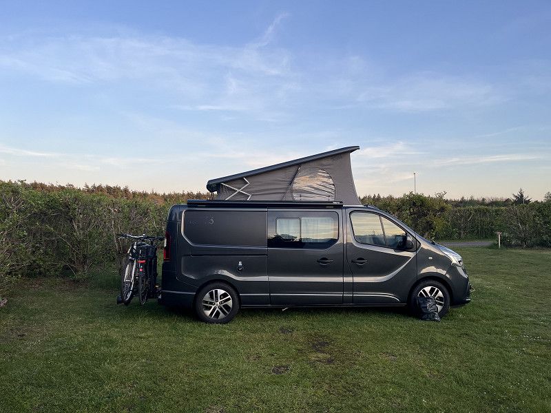
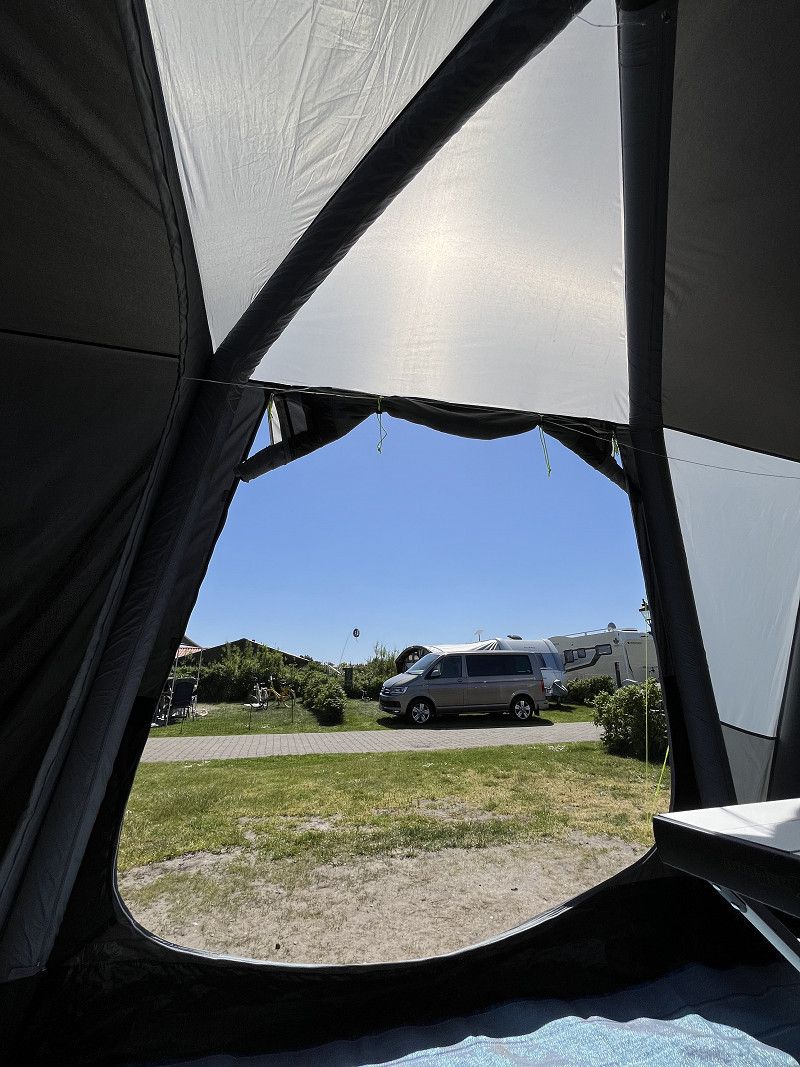
Our first trip to Denmark with our new camper van!
Simply fantastic!
Hirn Automobile
Hauptstrasse 62, Balgach, Wahlkreis Rheintal, St. Gallen, Schweiz
47° 24' 19.9" N 9° 36' 6.7" E
47.4055229 9.6018528
• Head toward Grünensteinstrasse on Hauptstrasse (13). Go for 342 m.
• Turn right onto Turnhallestrasse. Go for 331 m.
• Continue on Rietstrasse. Go for 3.8 km.
• Continue on Oberrieterstrasse. Go for 746 m.
• Continue on Vordere Kirchstrasse. Go for 236 m.
• Turn right onto Hohenemserstrasse. Go for 1.5 km.
• Continue on Diepoldsauer Straße (L46). Go for 394 m.
• Take the 1st exit from roundabout onto A14 (Rheintal Autobahn) toward Bregenz. Go for 23.4 km.
• Continue on A96. Go for 63.0 km.
• Take the left exit toward Würzburg/Ulm/Stuttgart onto A7. Go for 363 km.
• Continue on A7. Go for 368 km.
• Keep right onto A7. Go for 155 km.
• Take exit 2 toward Flensburg/Harrislee/Handewitt/Niebüll/Leck. Go for 332 m.
• Turn left onto B199. Go for 3.2 km.
• Turn right onto Lilienthalstraße (K19) toward Gewerbegebiet FL-Weiche/CITTI-PARK P+R. Go for 344 m.
• Turn left onto Langberger Weg. Go for 51 m.
• Turn left onto Langberger Weg. Go for 25 m.
• Turn left onto Langberger Weg. Go for 154 m.
• Arrive at Langberger Weg. Your destination is on the left.
☍
984,2 km
(8 hrs. 49 min.)
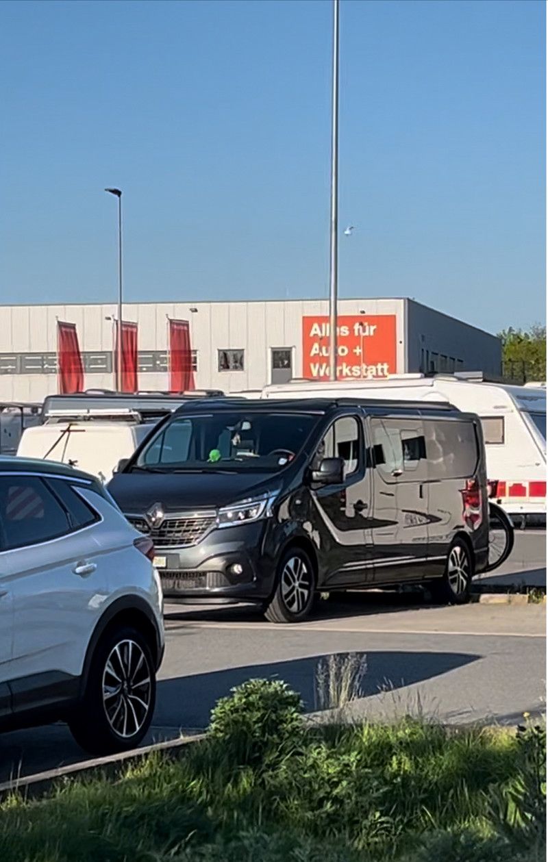
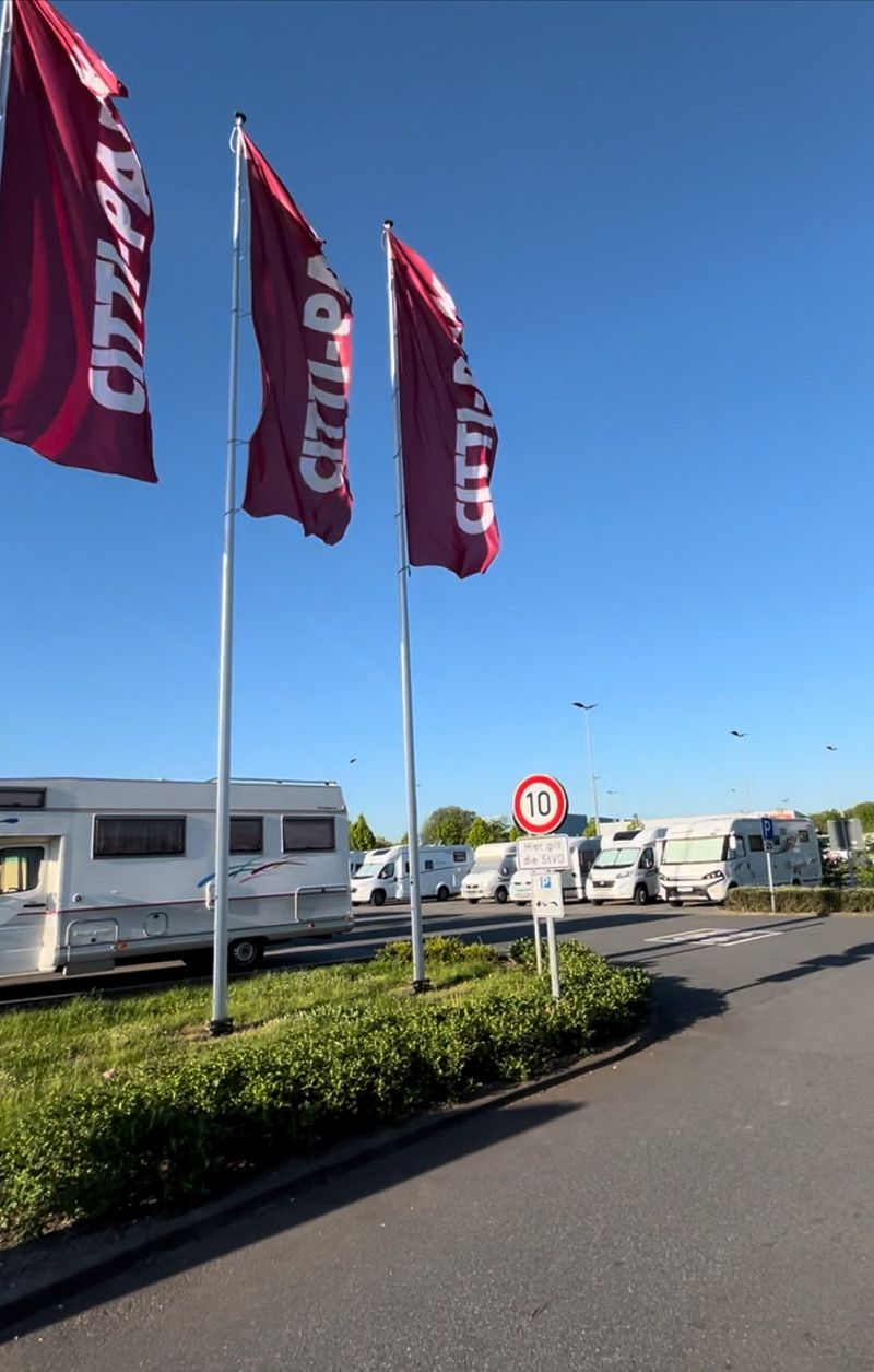
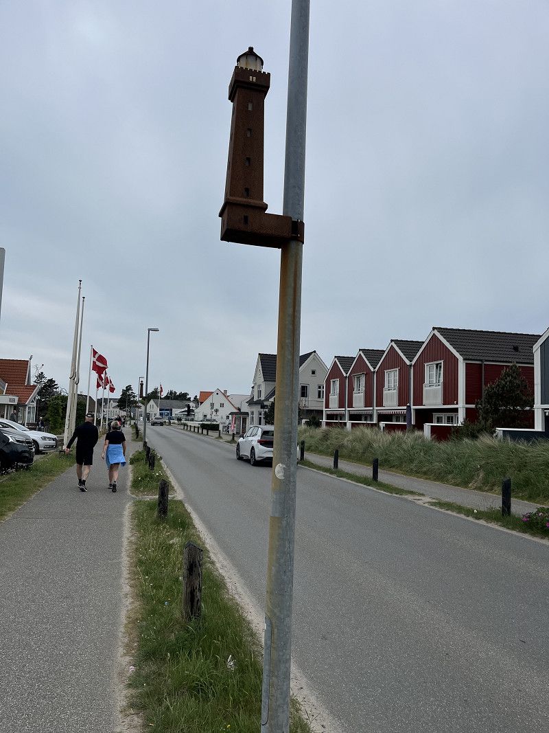
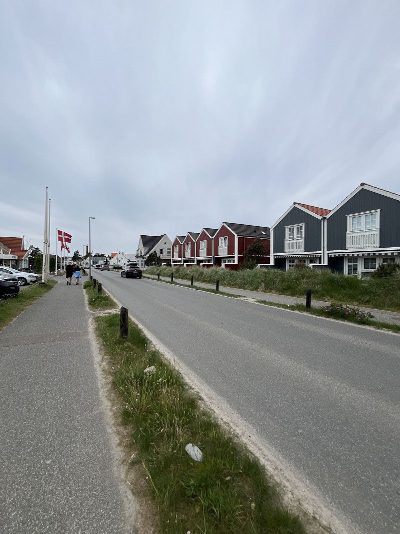
Flensburg, Citti-Park
The plan was that we would drive from home to Soltau on the first day and spend the night at a campsite there. The start of the trip was anything but ideal, because after just an hour of driving we were stuck in a traffic jam, or rather in congested traffic, and lost almost an hour there. Then we continued on the A7 across Germany. There were repeated minor delays during the journey due to the many construction sites. Despite the delays, we decided early on to drive on to Flensburg if possible instead of to Soltau as planned and spend our first night there. So we parked our van after around 12 hours of driving and a distance of almost 1000 km.
Lilienthalstraße, Flensburg, Schleswig-Holstein, Deutschland
54° 46' 24.7" N 9° 23' 42.2" E
54.7735404 9.3950571
• Head north on Langberger Weg. Go for 71 m.
• Turn left toward Lilienthalstraße/K19. Go for 23 m.
• Turn right onto Lilienthalstraße (K19). Go for 127 m.
• Turn left onto Lecker Chaussee (B199). Go for 3.1 km.
• Take ramp onto A7 toward Kolding. Go for 4.0 km.
• Continue on E45 (Sønderjyske Motorvej). Go for 89.5 km.
• Keep left onto E45 (Kolding) toward Århus/Vejle. Go for 205 km.
• Keep right onto E39 (Vendsyssel) toward Hirtshals/Hjørring/Brønderslev/Høvejen/Thisted. Go for 57.6 km.
• Take the 1st exit from roundabout onto Tverstedvej (597) toward Skagen/Tversted. Go for 10.6 km.
• Take the 2nd exit from roundabout onto Skagensvej (597). Go for 15.4 km.
• Take the 3rd exit from roundabout onto Ålbækvej (40). Go for 6.4 km.
• Take the 3rd exit from roundabout onto Kandestedvej. Go for 508 m.
• Turn left onto Kandestedvej. Go for 317 m.
• Turn right. Go for 342 m.
• Arrive at your destination on the right.
☍
393,3 km
(4 hrs. 2 min.)
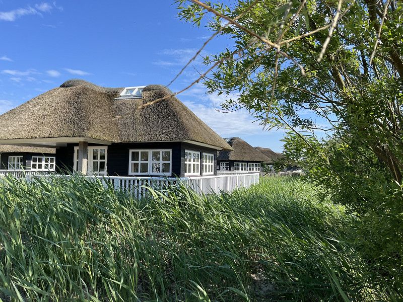
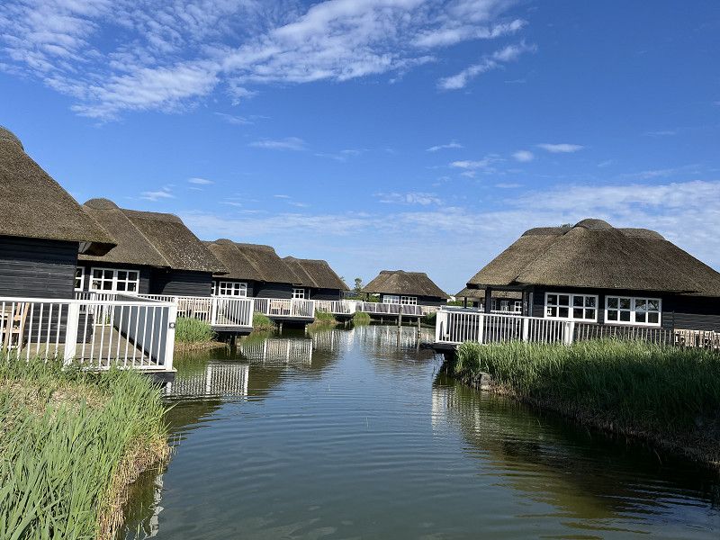
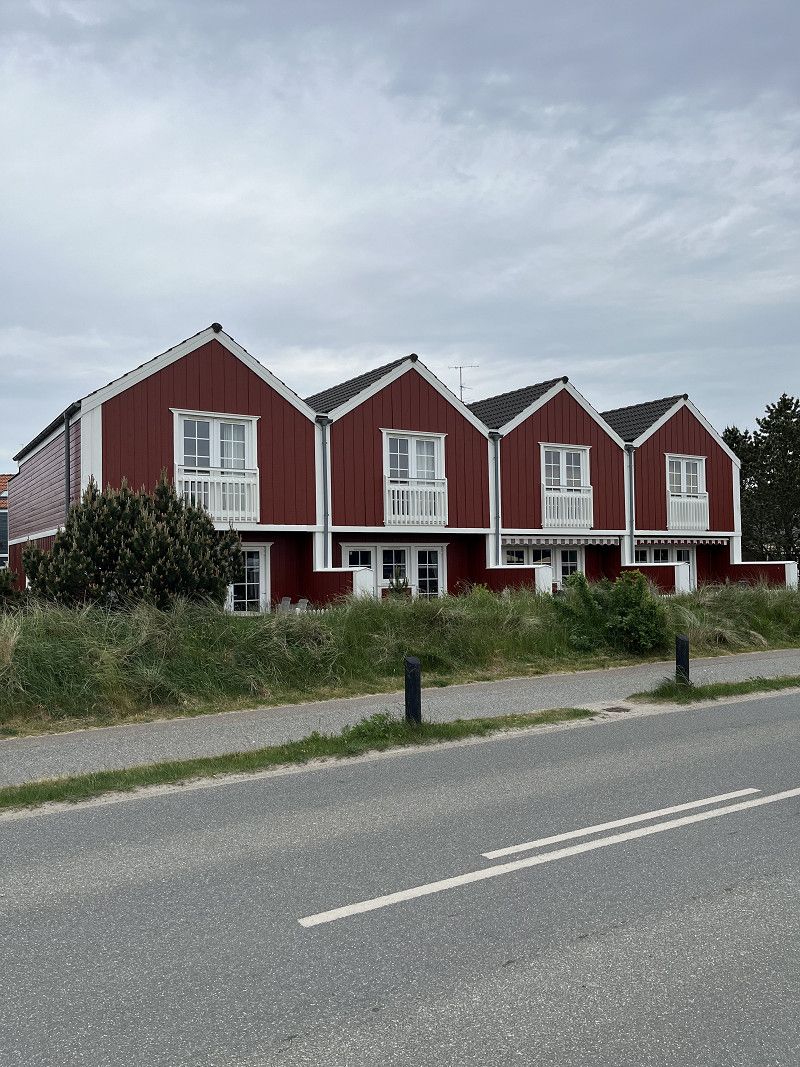
First Camp Raabjerg Mile - Skagen
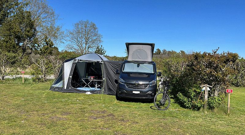
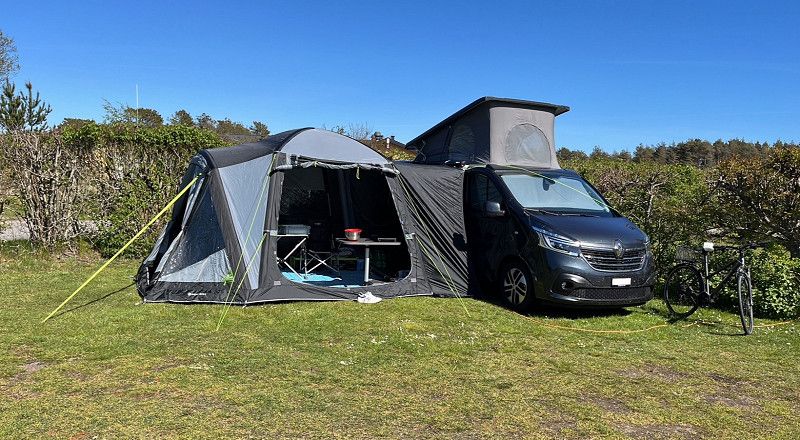
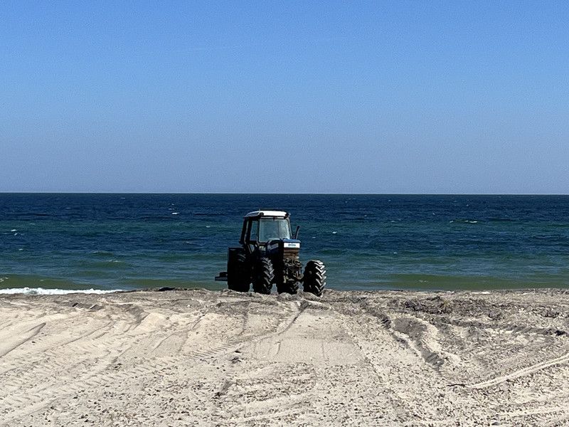
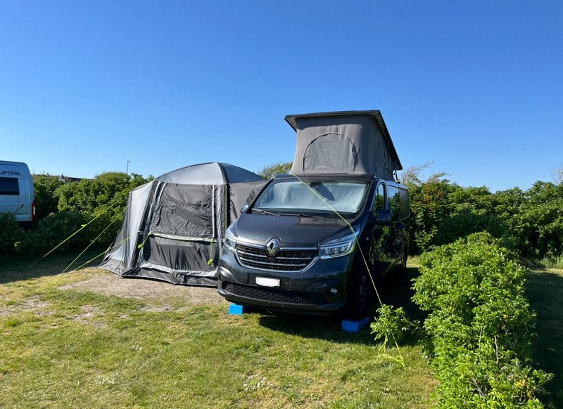
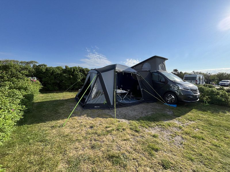
We spent three nights at pitch number 82. The five pitches around us were empty. There were generally only a few guests at the campsite. This guaranteed us peace and relaxation.
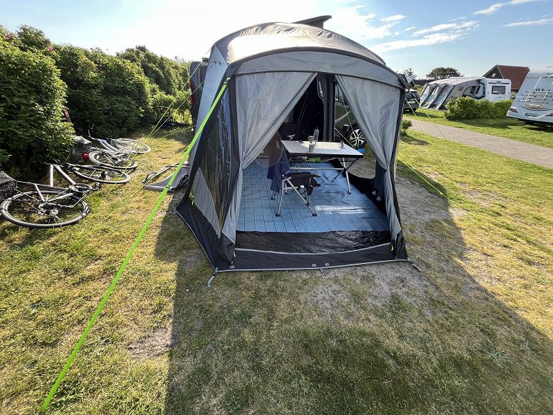
We booked this site online before we arrived. The site is ideally located in the immediate vicinity of the "Servicehus 2" where there is a kitchen equipped with several gas hobs, microwaves and ovens and of course several sinks. Outside there are further sinks and a large grill. The toilet/shower facilities were always clean and above all spacious and modern. Washing machines and tumble dryers are also available in this service building. We did not use the bathing facilities.
A little tip before you arrive: buy enough food, because the shop at reception is small. The nearest Lidl is in Skagen, about a 10-minute drive away.
Kandestedvej 55, 9990, Skagen, Denmark
57° 39' 4.4" N 10° 27' 11.2" E
57.6512200 10.4531000
• Head east. Go for 20 m.
• Turn left. Go for 89 m.
• Turn left. Go for 149 m.
• Turn left toward Kandestedvej. Go for 323 m.
• Continue on Kandestedvej. Go for 77 m.
• Turn right onto Kandestedvej. Go for 411 m.
• Take the 3rd exit from roundabout onto Ålbækvej (40). Go for 9.3 km.
• Continue on Frederikshavnsvej (40). Go for 1.7 km.
• Take the 2nd exit from roundabout onto Kattegatvej. Go for 651 m.
• Turn left onto Buttervej. Go for 365 m.
• Take the 2nd exit from roundabout onto Bøjlevejen. Go for 3.3 km.
• Take the 2nd exit from roundabout onto Fyrvej (40). Go for 1.8 km.
• Take the 1st exit from roundabout onto Åkandevej. Go for 134 m.
• Arrive at Åkandevej.
☍
18,3 km
( 20 min.)
Nordstrandsvej, Region Nordjütland, Dänemark
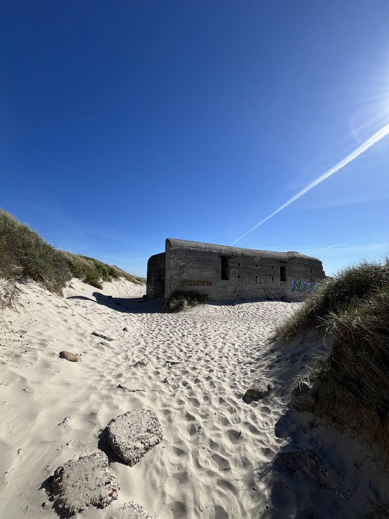
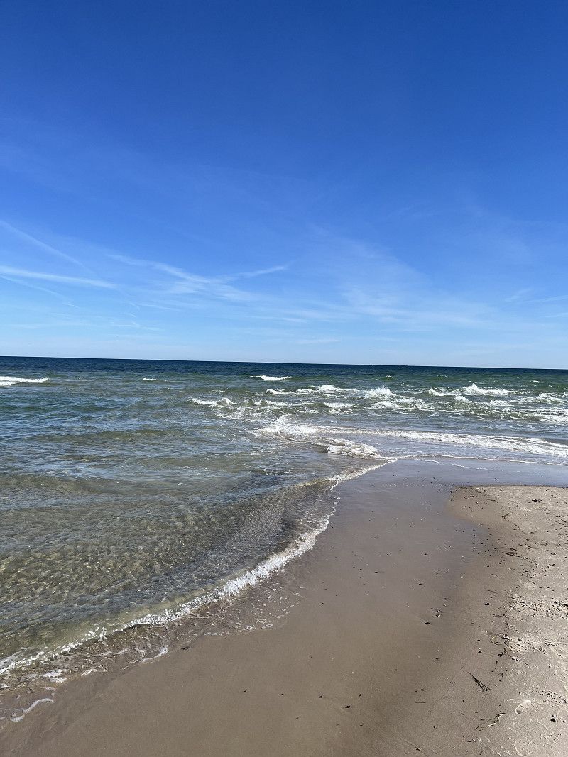
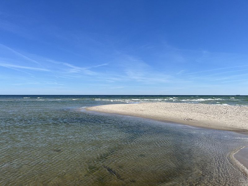
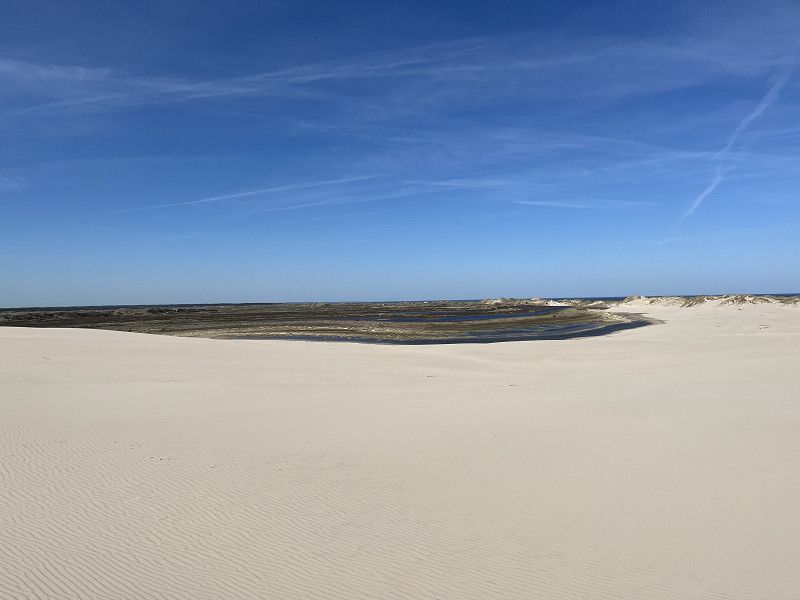
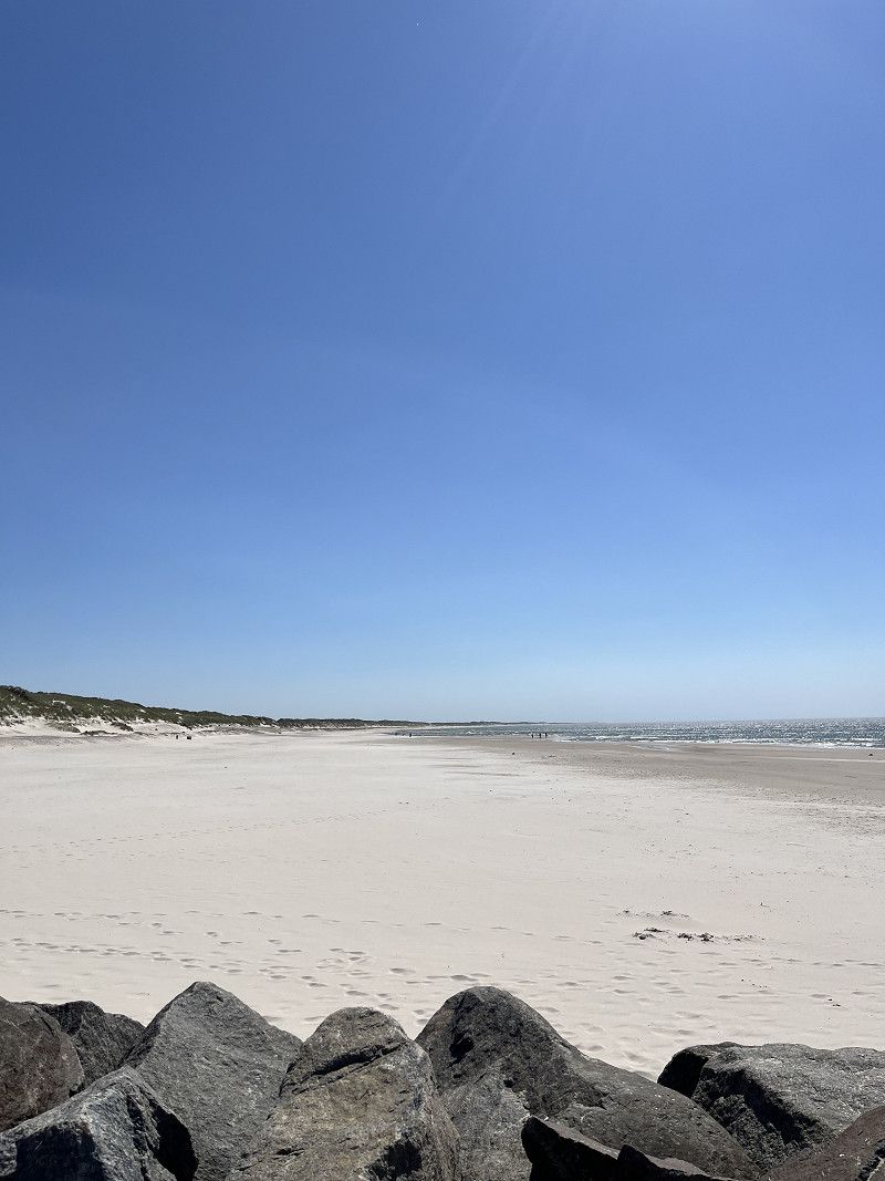
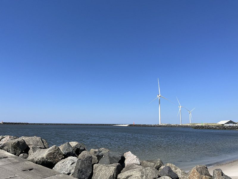
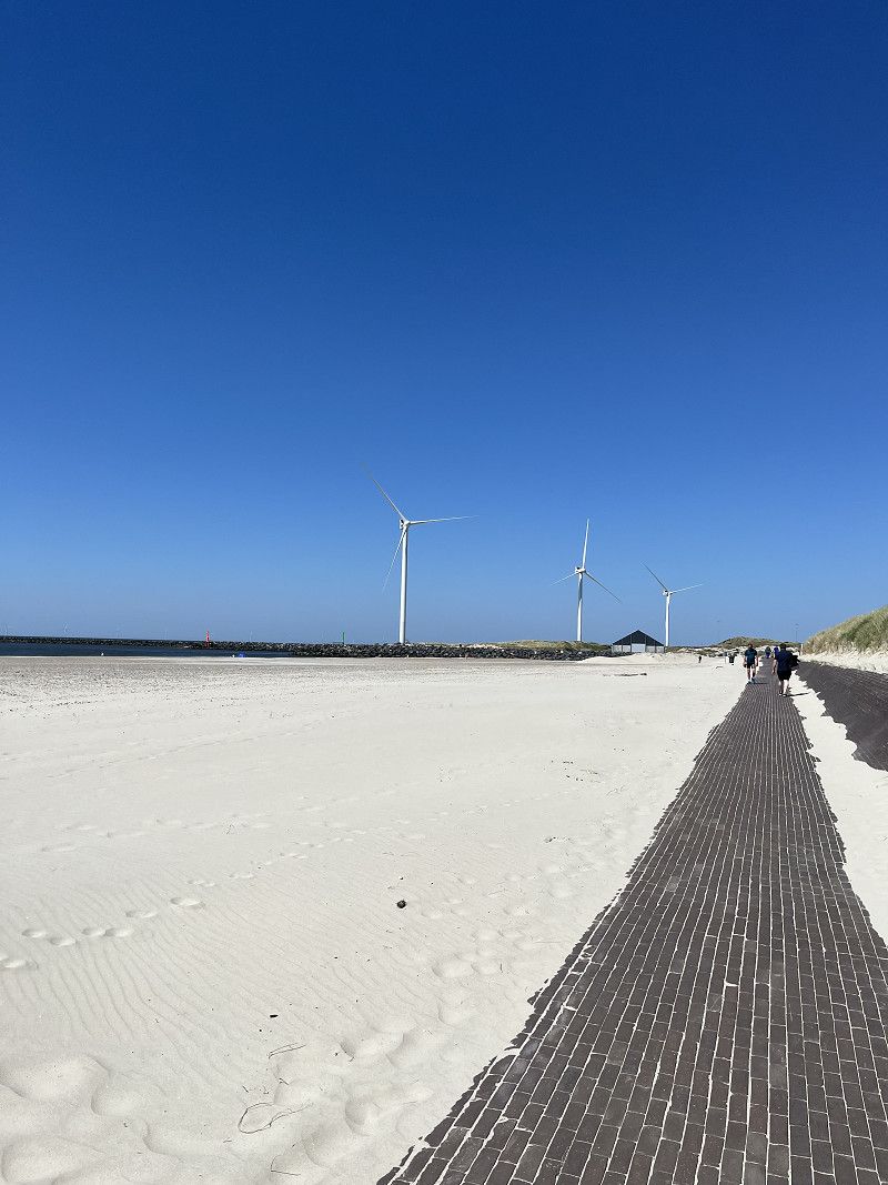
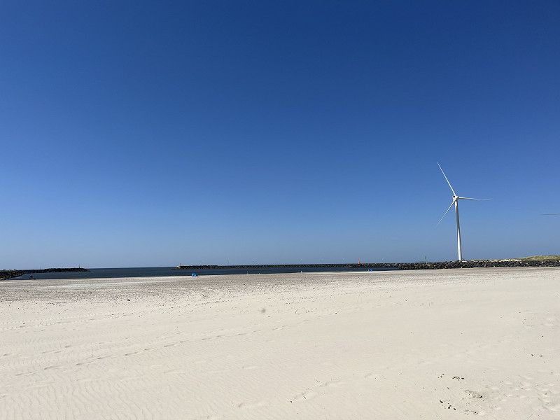
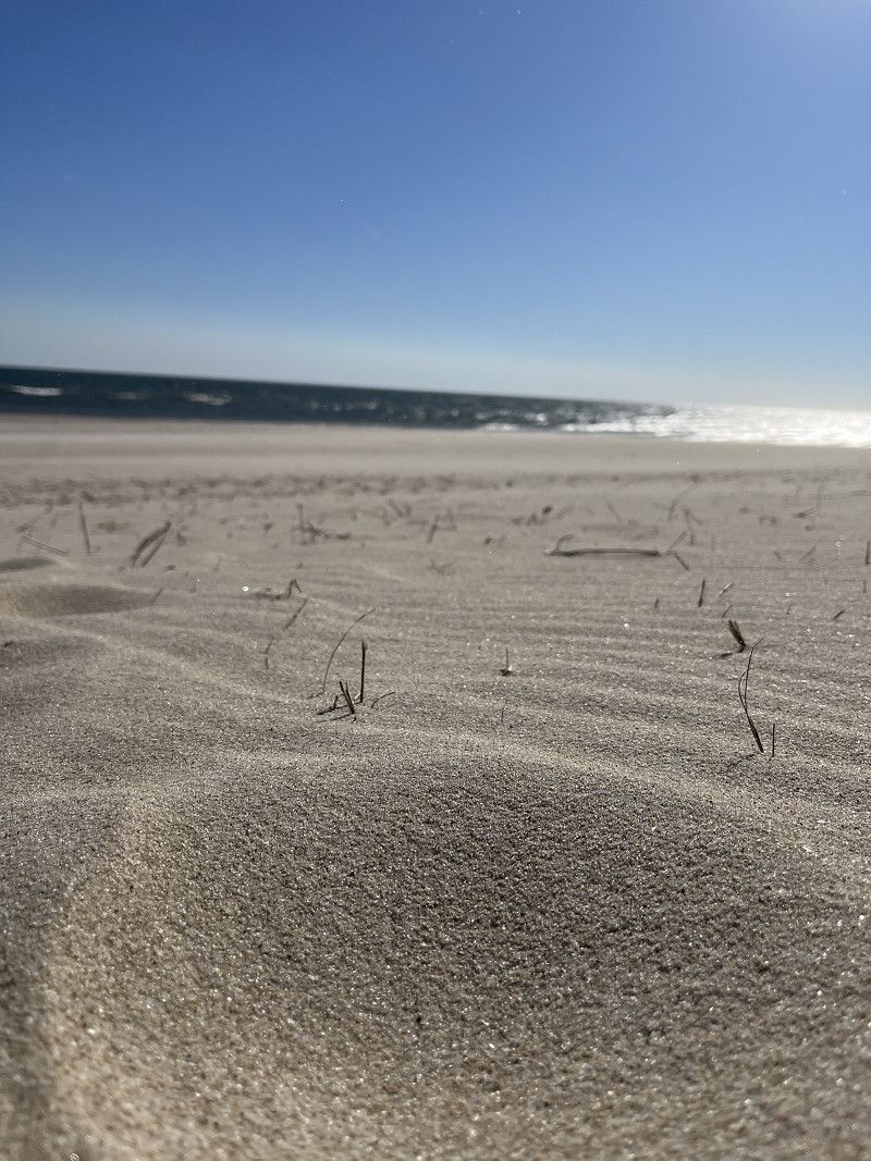
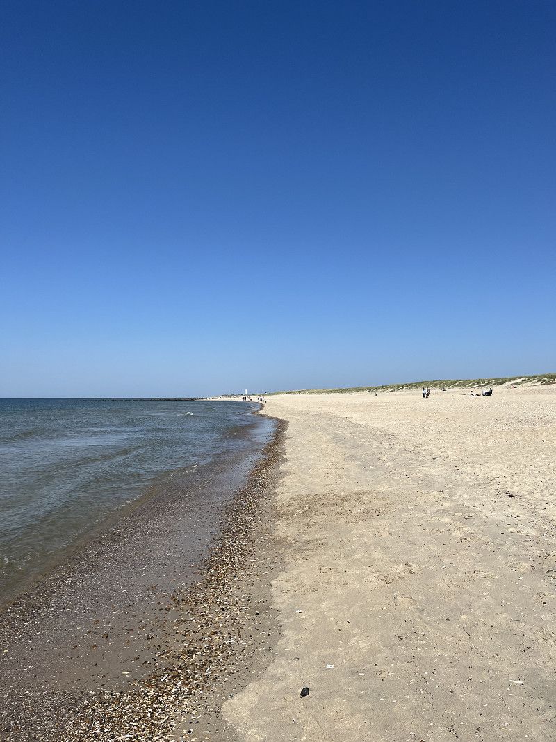
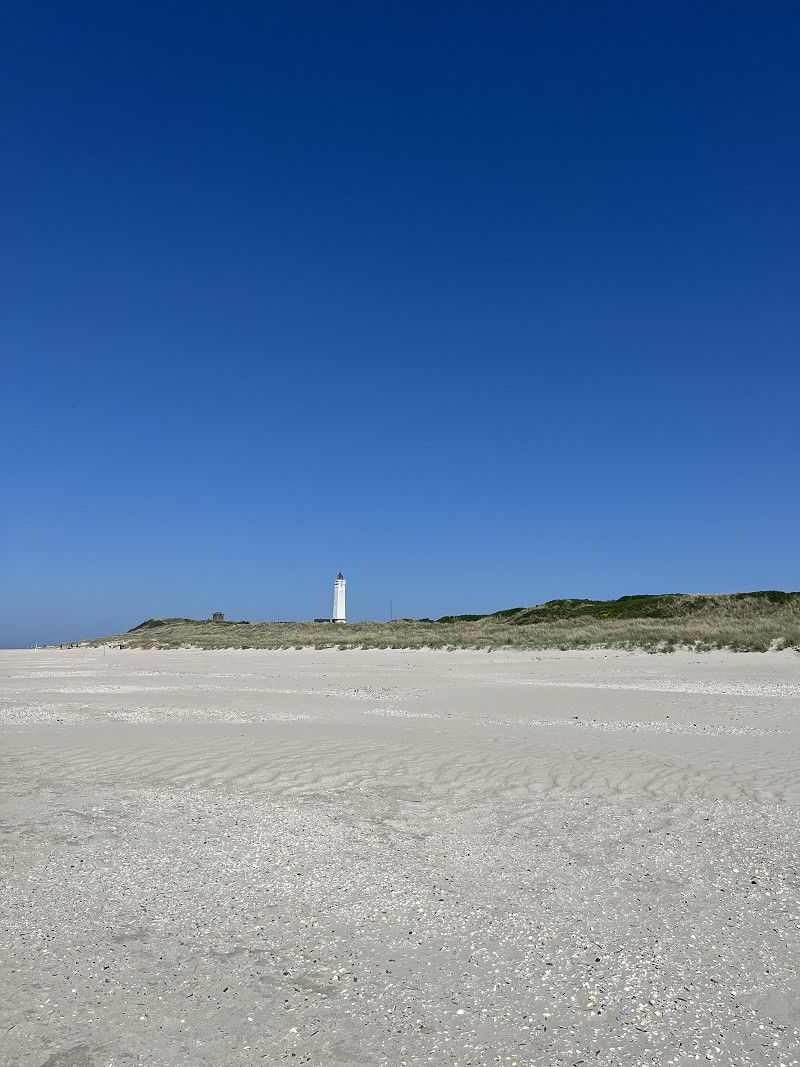
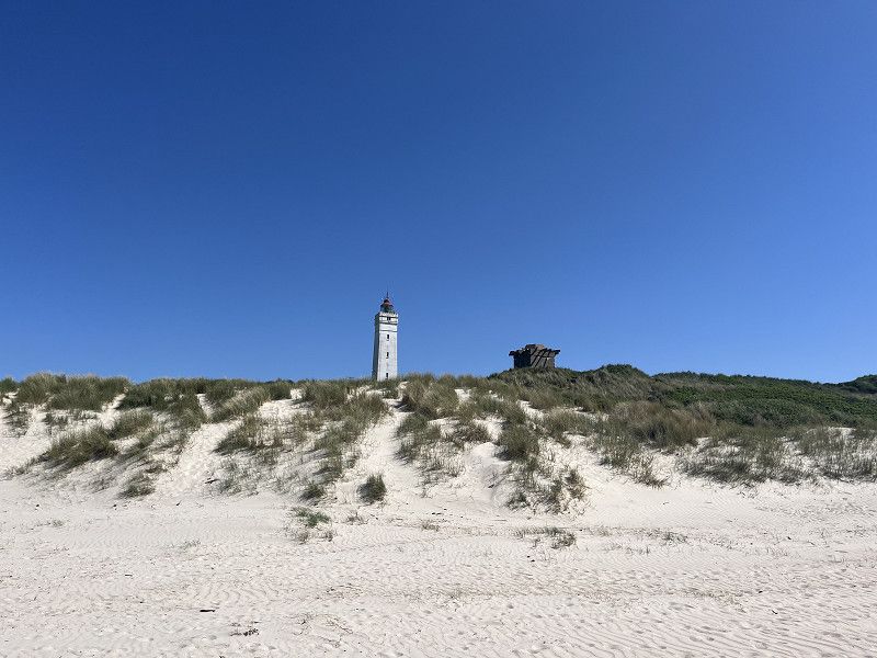
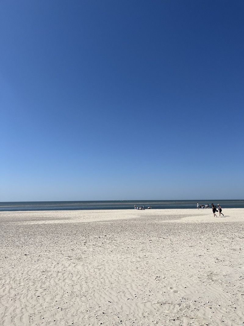
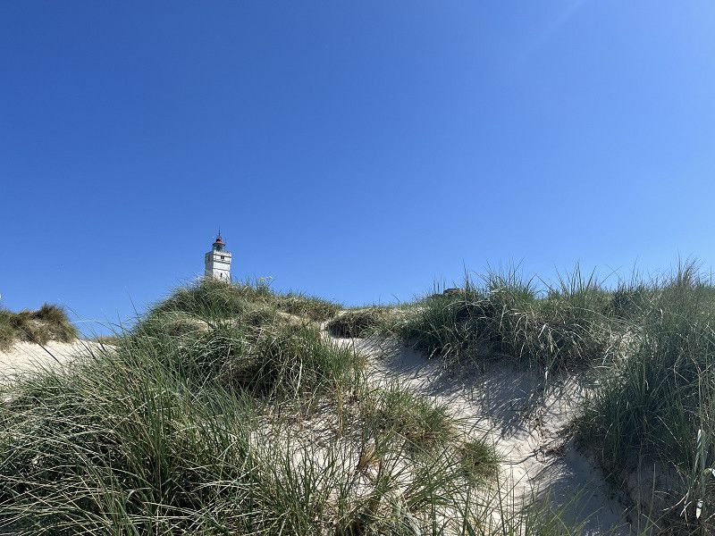
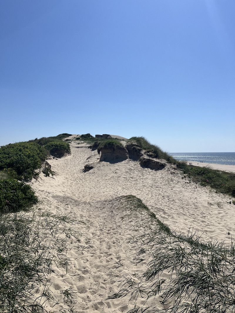
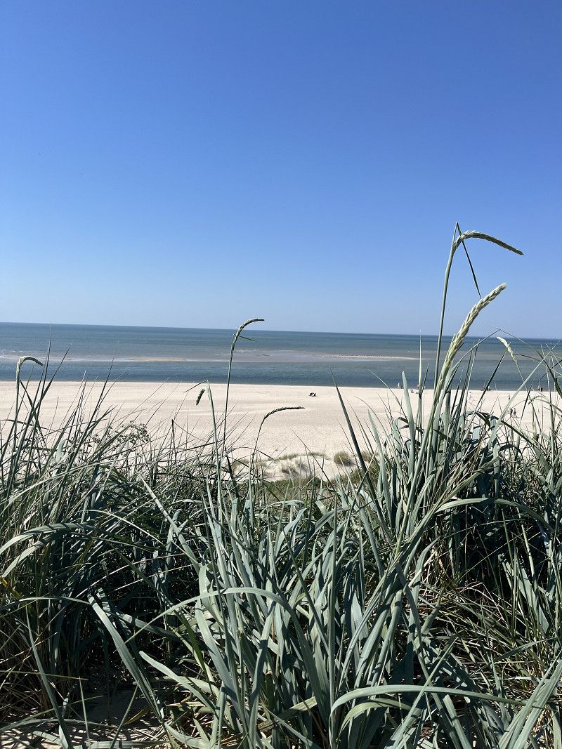
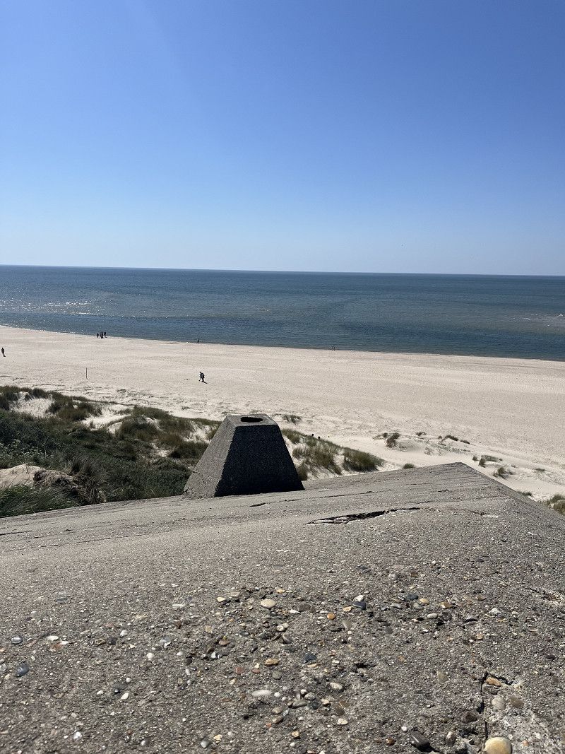
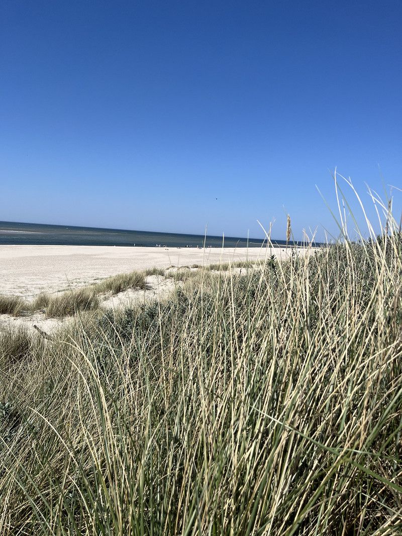
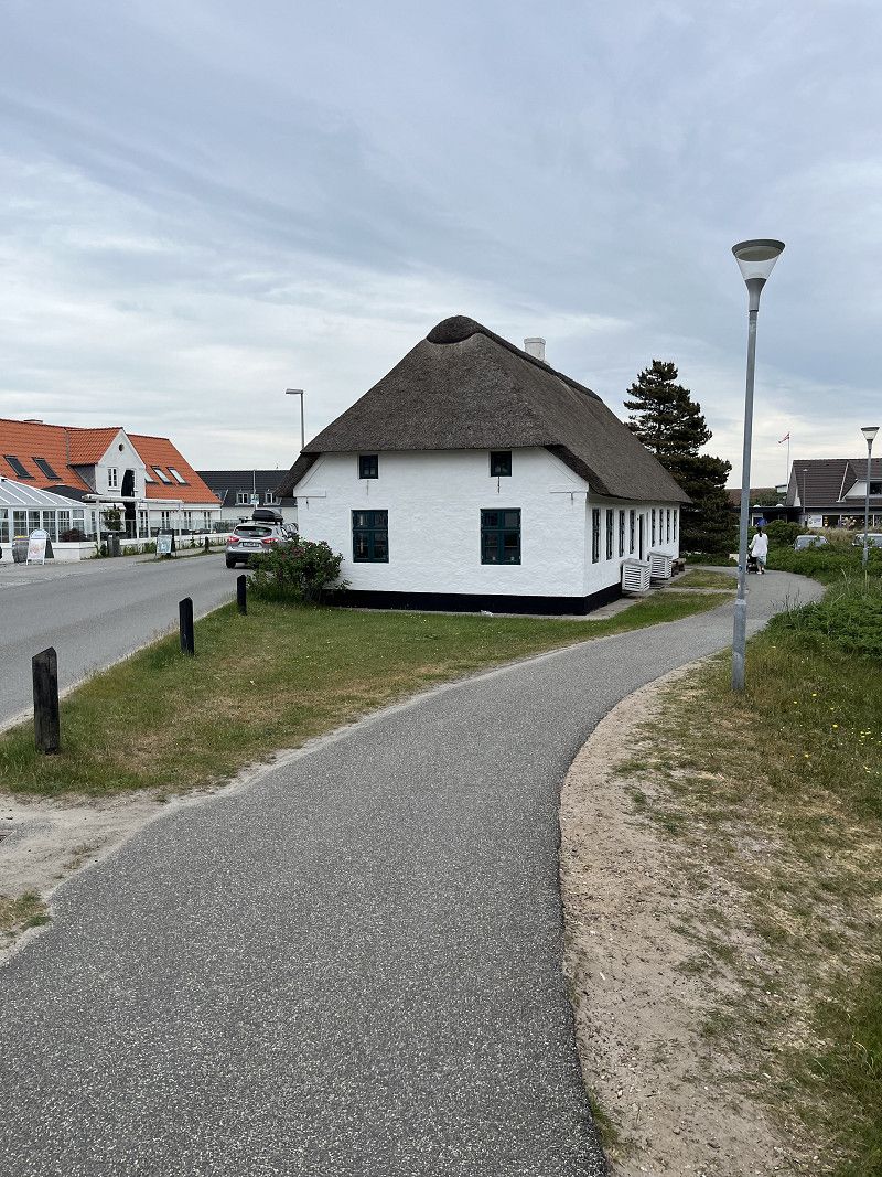
Since we were already in the very north of Denmark, a trip to the northernmost point of Denmark was definitely worth it, or even a must. You can drive almost to the northernmost point by bike, camper or car. The last stretch has to be covered on foot along the beach. It is absolutely impressive how the Baltic and North Seas meet at Denmark's northernmost point (pictures 4 and 5).
57° 44' 36.1" N 10° 39' 16" E
57.7433652 10.6544519
• Head toward Fyrvej on Åkandevej. Go for 89 m.
• Take the 2nd exit from roundabout onto Fyrvej (40). Go for 1.8 km.
• Take the 1st exit from roundabout onto Bøjlevejen. Go for 3.3 km.
• Take the 3rd exit from roundabout onto Buttervej. Go for 430 m.
• Turn right onto Kattegatvej. Go for 562 m.
• Take the 1st exit from roundabout onto Frederikshavnsvej (40). Go for 10.9 km.
• Take the 2nd exit from roundabout onto Ålbækvej (40). Go for 6.4 km.
• Take the 1st exit from roundabout onto Hirtshalsvej (597). Go for 15.3 km.
• Take the 2nd exit from roundabout onto Skagensvej (597). Go for 10.6 km.
• Take the 3rd exit from roundabout onto E39 (Hirtshalsmotorvejen) toward Aalborg. Go for 42.5 km.
• Take exit 8 toward Tylstrup/Blokhus/Hjallerup/Thisted. Go for 486 m.
• Take the 1st exit from roundabout onto Luneborgvej (515/559) toward Thisted/Blokhus/Store Vildmose. Go for 2.4 km.
• Turn left onto Luneborgvej (515/559). Go for 4.1 km.
• Take the 3rd exit from roundabout onto Centralgårdsvej (515). Go for 10.0 km.
• Turn left onto Brogårdsvej (55) toward Aalborg/Nørresundby/Thisted/11. Go for 1.2 km.
• Take the 1st exit from roundabout onto Thisted Landevej (11) toward Thisted/Brovst/Fjerritslev. Go for 2.0 km.
• Turn right onto Tranumvej toward Tranum/Tranumenge/Birkelse. Go for 386 m.
• Take the 2nd exit from roundabout onto Tranumvej. Go for 4.8 km.
• Continue on Tranum Engevej. Go for 2.1 km.
• Take the 2nd exit from roundabout onto Tranum Engevej. Go for 5.0 km.
• Continue on Dybdalsvej. Go for 1.3 km.
• Continue on Drosselvej. Go for 12 m.
• Continue on Dybdalsvej. Go for 898 m.
• Take the 2nd exit from roundabout onto Hjortdalvej. Go for 3.5 km.
• Turn left onto Bonderupvej. Go for 2.0 km.
• Continue on Mellemmøllevej. Go for 792 m.
• Turn right onto Ålborgvej (11). Go for 7.5 km.
• Turn right onto Lejrmarksvej (569) toward Fjerritslev/Slette Strand/Svinkløv/Kollerup. Go for 76 m.
• Continue on Østergade (569). Go for 991 m.
• Turn left onto Østergade (569). Go for 205 m.
• Continue on Vestergade (569). Go for 853 m.
• Continue on Thistedvej (569). Go for 8.0 km.
• Turn right onto Thorup Strandvej. Go for 3.4 km.
• Turn right onto Lyngstien. Go for 82 m.
• Turn left onto Lyngstien. Go for 73 m.
• Arrive at Lyngstien. Your destination is on the left.
☍
154,1 km
(1 hrs. 59 min.)
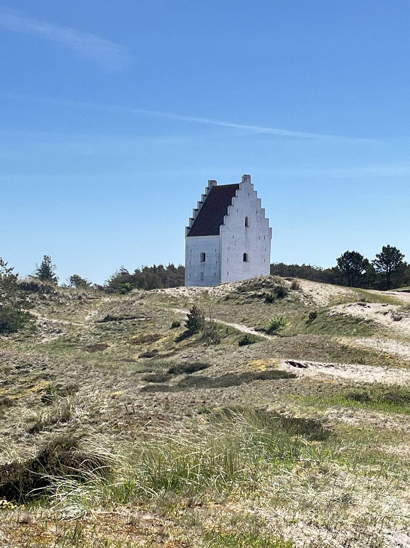
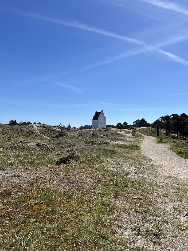
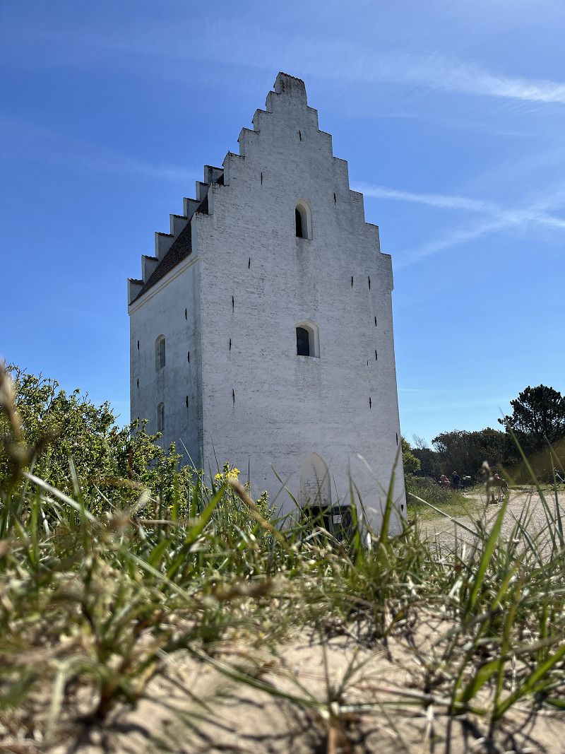
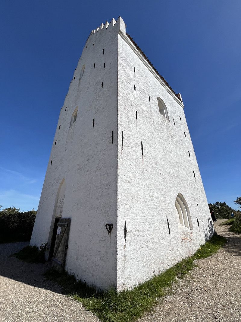
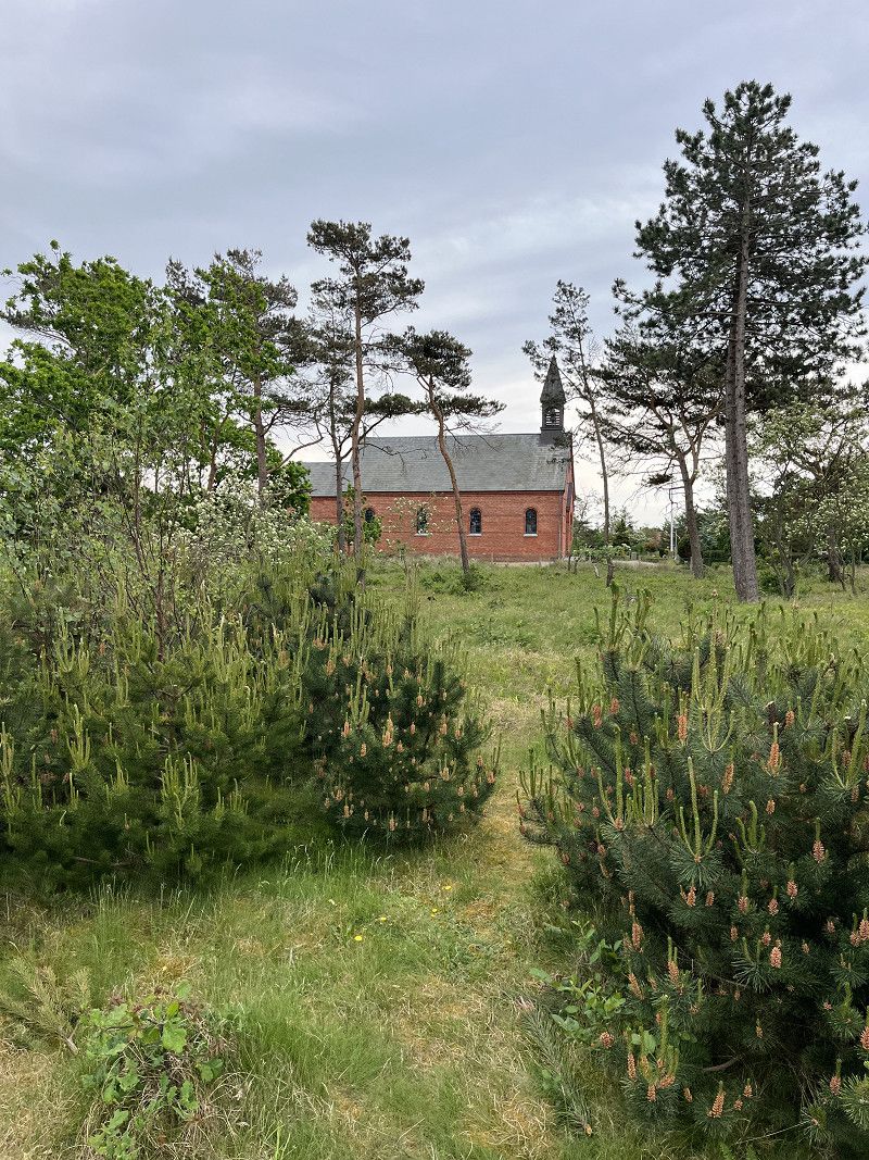
Besuch der versandeten Kirche „ Den Tilsandede Kirke“
On our return by bike from Denmark's northernmost point (Grenen) we saw the signpost that showed the way to "Den Tilsandede Kirke". We decided to ride about a kilometer to the parking lot where we left the bikes. After a walk of about 500 meters through the forest we saw the sand-covered church in the middle of a clearing.
The attraction can also be easily reached by bike.
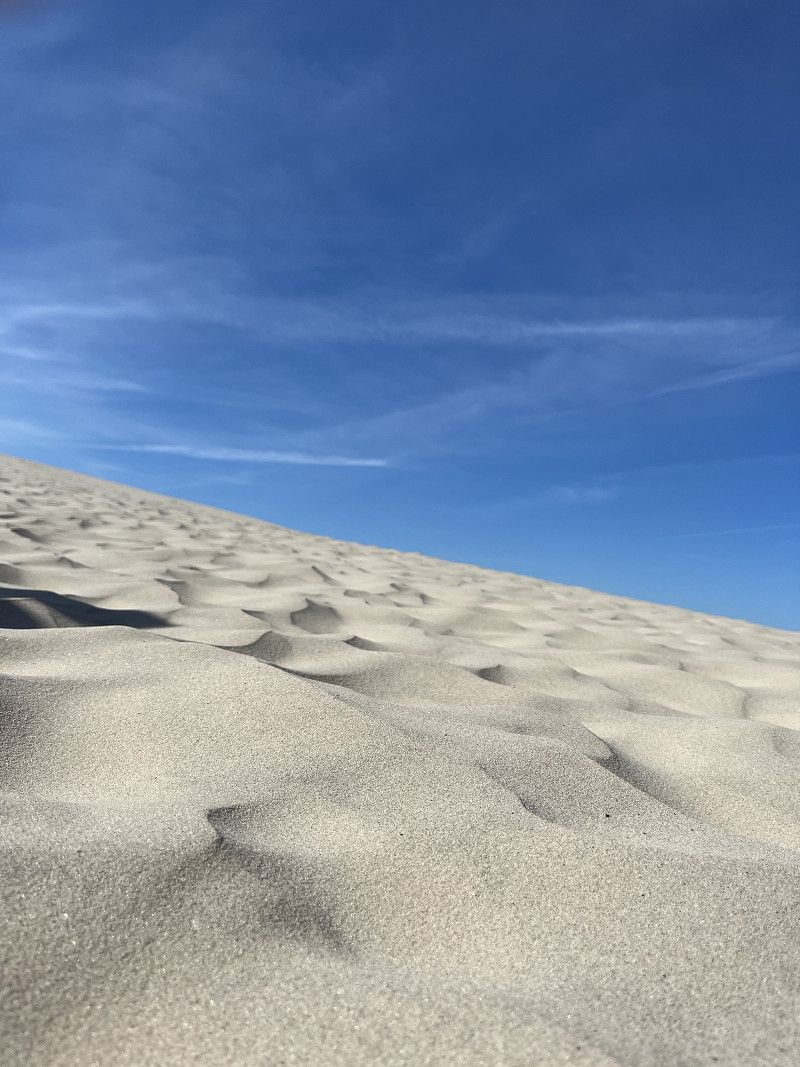
Spaziergang zur Wanderdüne „Råbjerg Mile“
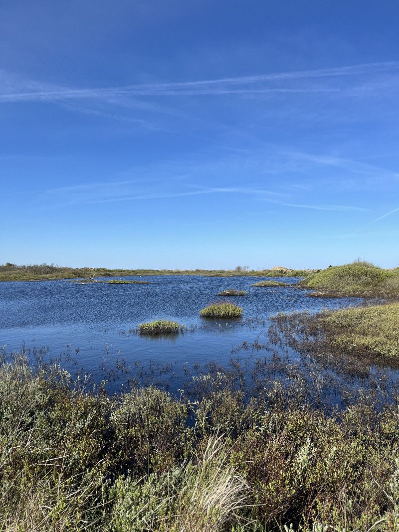
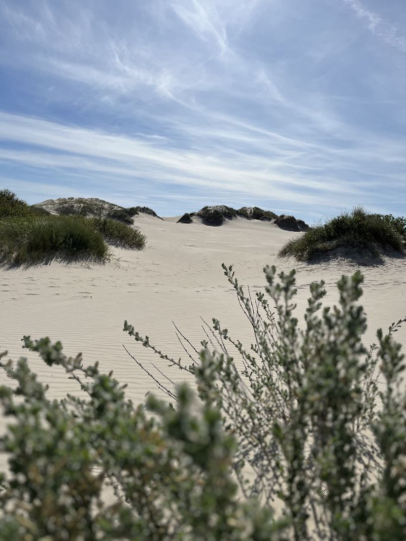
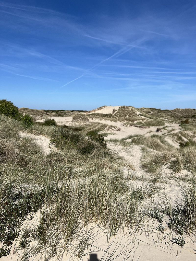
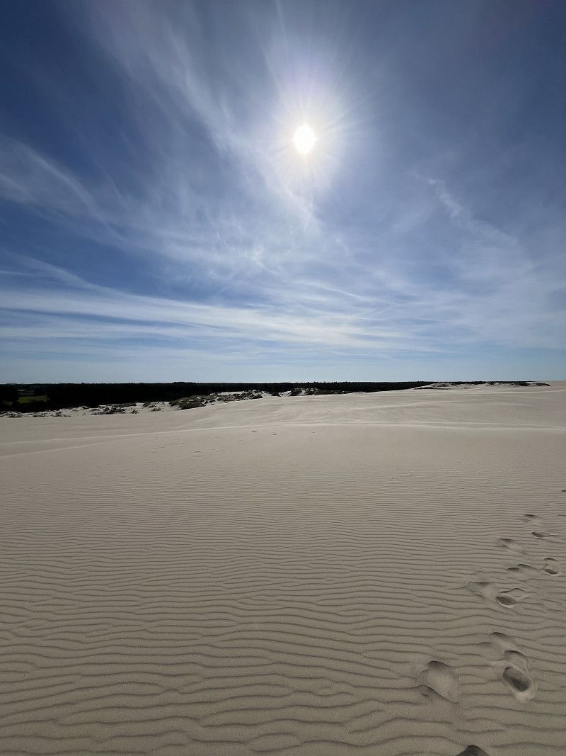
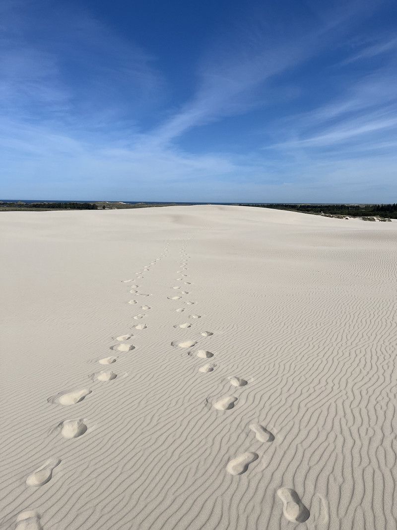
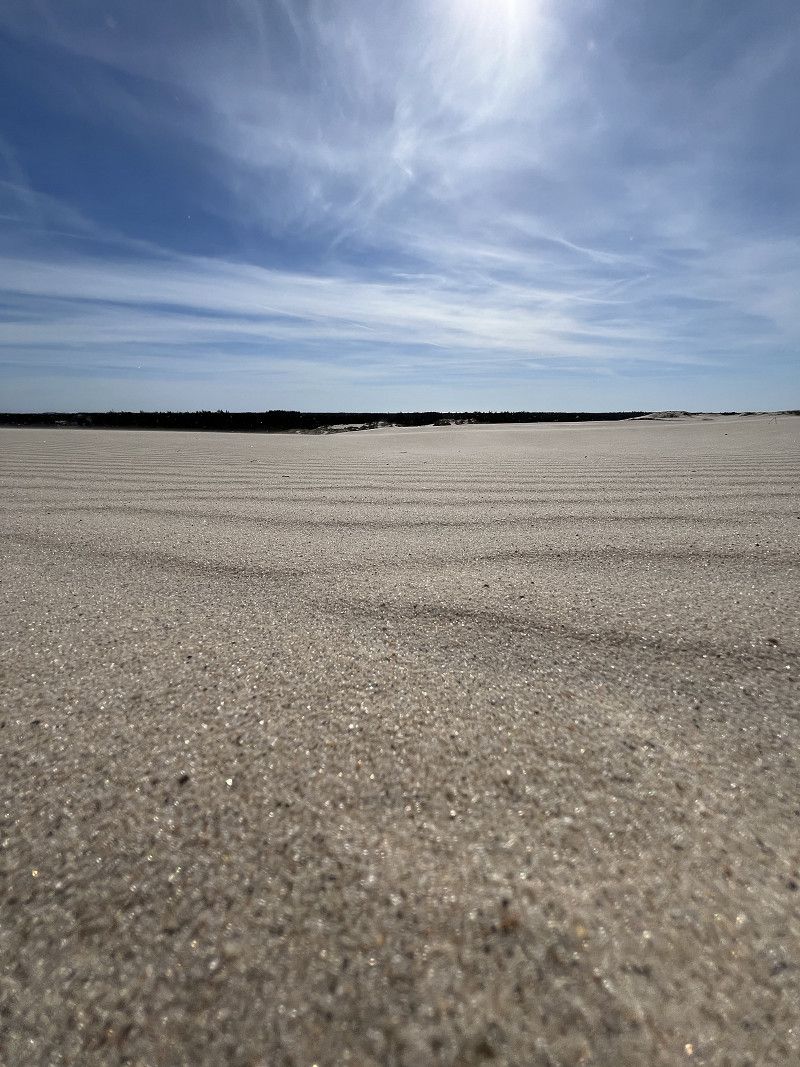
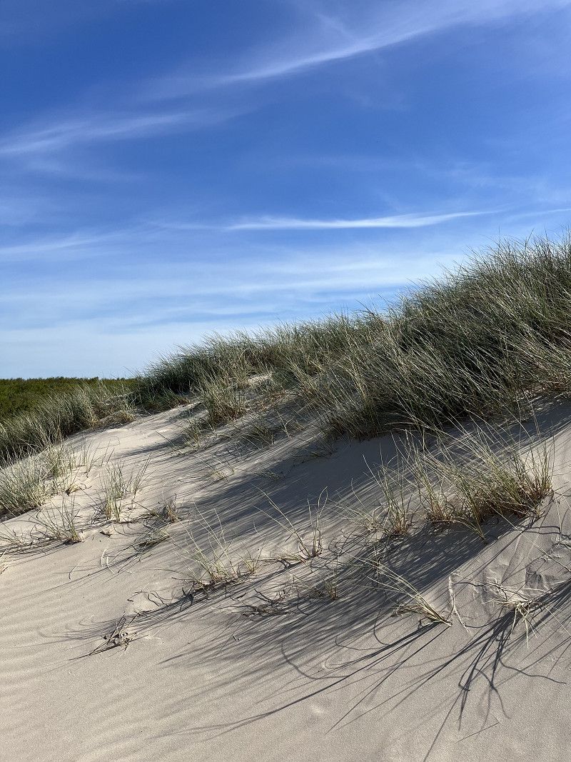
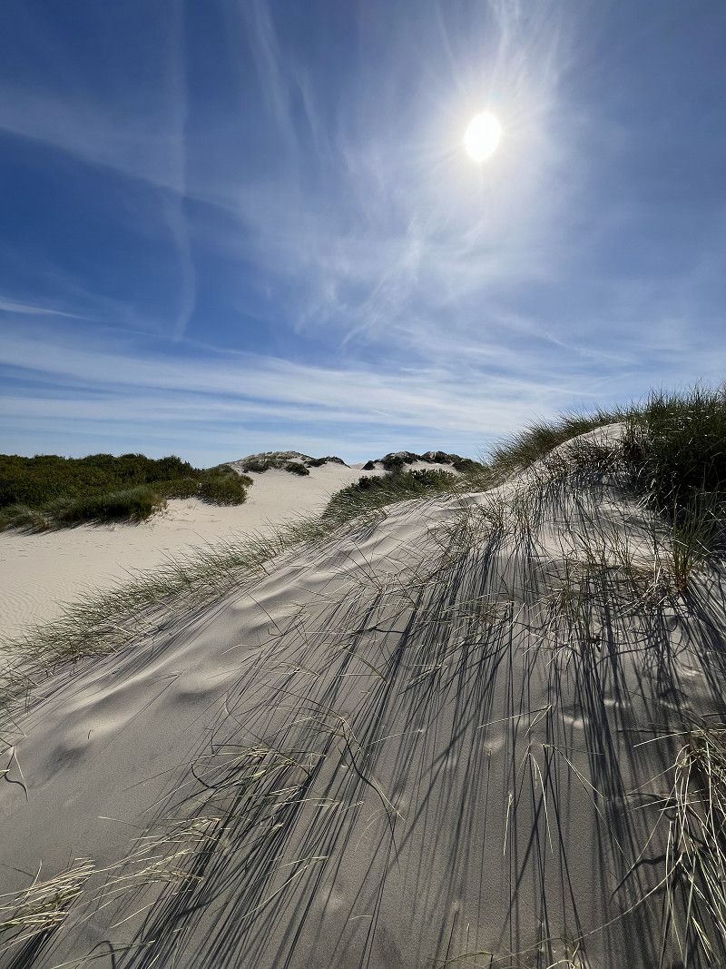
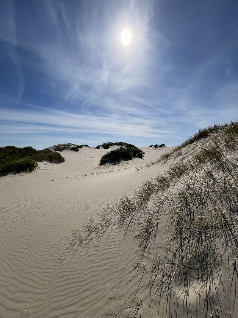
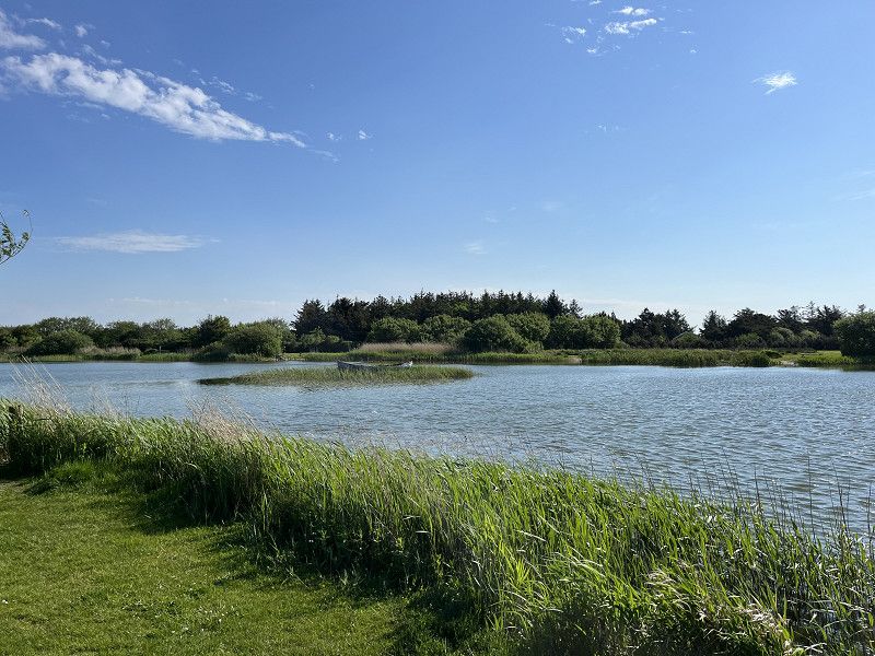
The Råbjerg Mile nature reserve is within walking distance (approx. 3 km) of the campsite. An impressive shifting dune that is (still) located inland. The 120 hectare sand dune is 41 meters high at its highest point. Apart from a few (very) few tourists, we were mostly alone on this impressive sand dune. A trip there is definitely worth it.
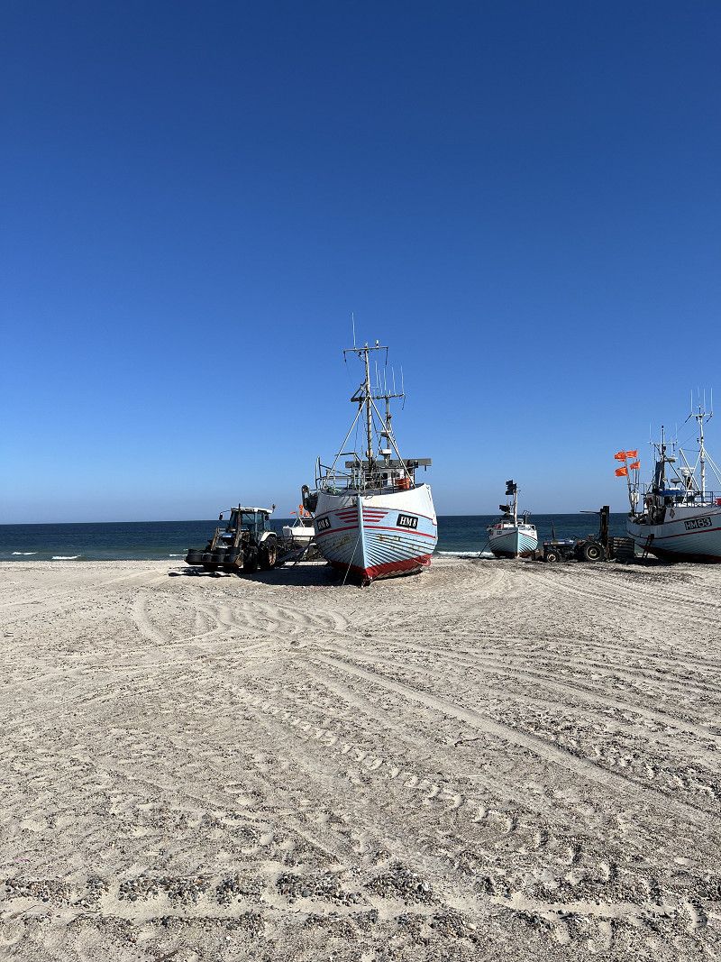
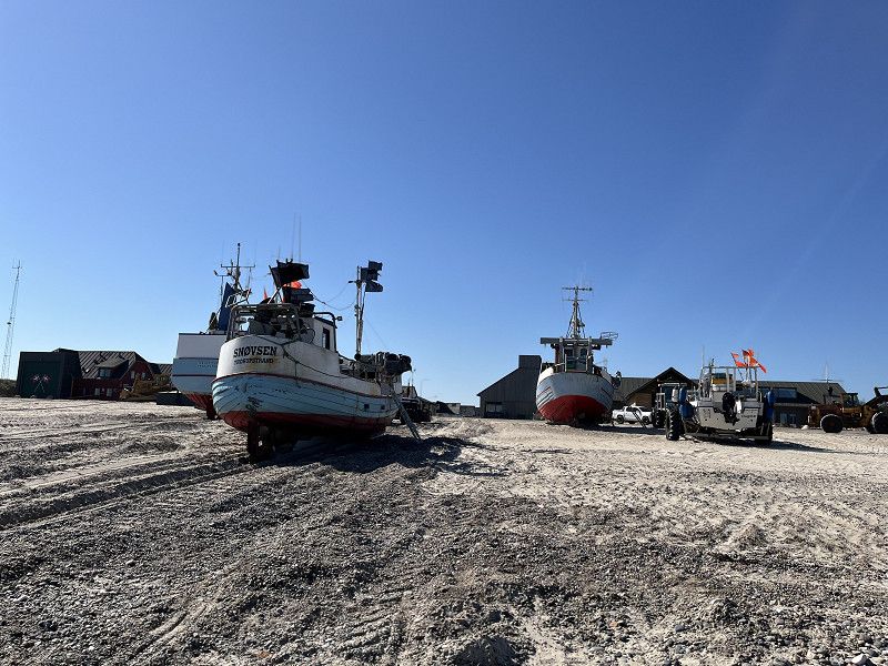
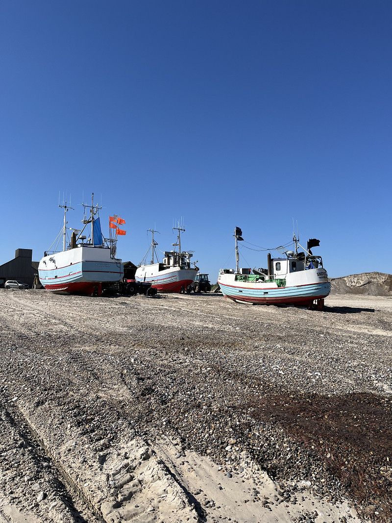
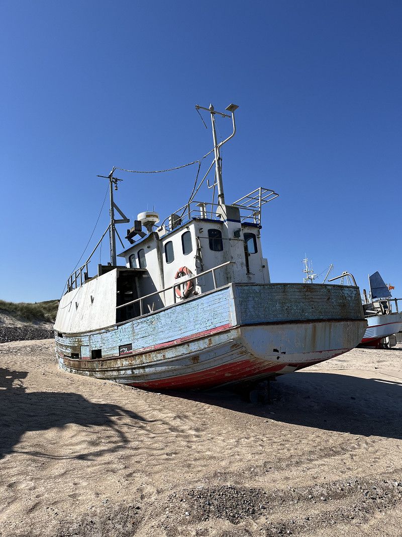
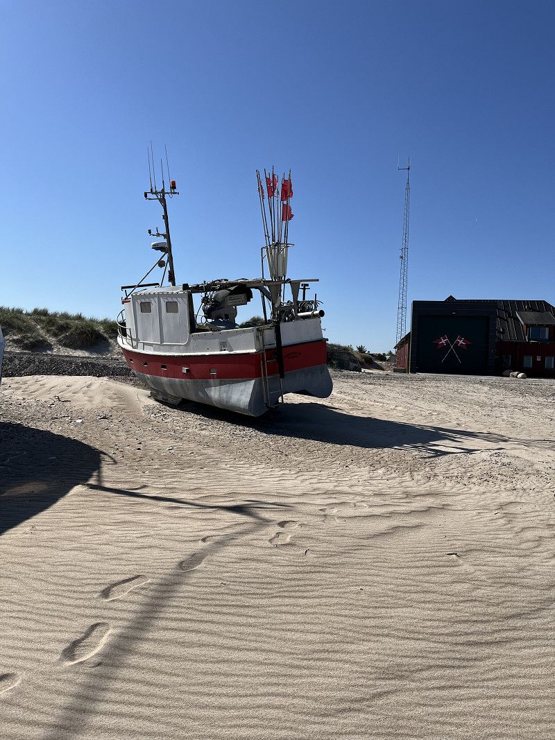
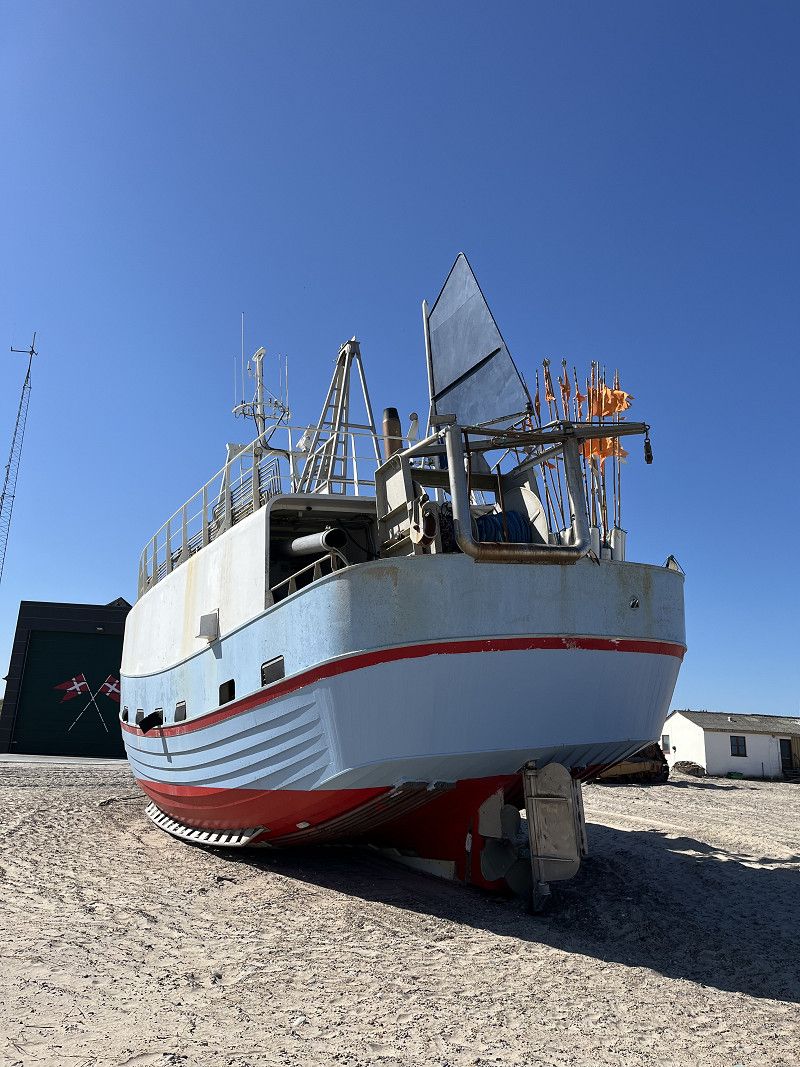
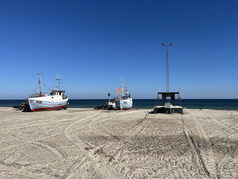
Thorup Strand
When we were planning our trip, we kept coming across travel reports about Thorup Beach. According to reports on the Internet and YouTube, they also serve delicious fish sandwiches. So we decided to visit Thorup Beach on the way to the second campsite in Blåvand. When we got there, there were only a handful of tourists, so the beach was practically deserted. The famous fishing boats had mostly been pulled ashore (see pictures).
Unfortunately, we were unable to enjoy the equally famous fish sandwiches as the only fish restaurant did not open until 11:00 am.
Region Nordjütland, Dänemark
57° 7' 57.3" N 9° 7' 58.5" E
57.1325764 9.1329115
• Head south on Lyngstien. Go for 73 m.
• Turn right onto Lyngstien. Go for 82 m.
• Turn left onto Thorup Strandvej. Go for 3.4 km.
• Turn right onto Thistedvej (569). Go for 6.4 km.
• Continue on Gammel Aalborgvej (569). Go for 15.4 km.
• Turn left onto Hjardemålvej (29). Go for 262 m.
• Turn right onto Aalborgvej (11) toward Thisted/Skovsted. Go for 14.1 km.
• Take the 2nd exit from roundabout onto Oddesundvej (11/26) toward Holstebro/Nykøbing. Go for 5.4 km.
• Take the 1st exit from roundabout onto Oddesundvej (11/26) toward Holstebro/Nykøbing. Go for 57.9 km.
• Take the 2nd exit from roundabout onto Oddesundvej (11/513) toward Holstebro/Struer. Go for 3.1 km.
• Turn right onto Vester Ringgade toward Struer Vest. Go for 3.2 km.
• Continue on Kløvenhøj. Go for 410 m.
• Continue on Lindevej. Go for 355 m.
• Pass 2 roundabouts and continue on Lindtorpvej (509). Go for 13.5 km.
• Turn right onto Burvej (509). Go for 6.7 km.
• Turn left onto Søndergade (28). Go for 5.6 km.
• Turn right onto Holstebrovej (16/28) toward Ulfborg/Ringkøbing. Go for 10.9 km.
• Take the 2nd exit from roundabout onto Holstebrovej (16/28) toward Ringkøbing/Skjern. Go for 8.2 km.
• Continue on Holstebrovej (16). Go for 2.3 km.
• Take the 1st exit from roundabout onto Vestre Ringvej (15). Go for 2.5 km.
• Take the 1st exit from roundabout onto Søndervig Landevej (15). Go for 3.4 km.
• Take the 2nd exit from roundabout onto Søndervig Landevej (15). Go for 3.6 km.
• Take the 3rd exit from roundabout onto Holmsland Klitvej (181). Go for 11.3 km.
• Take the 2nd exit from roundabout onto Nørregade (181). Go for 1.8 km.
• Arrive at Nørregade (181). Your destination is on the right.
☍
179,9 km
(2 hrs. 24 min.)
Hvide Sande
Between Thorup Strand and Blåvand lies Hvide Sande, a popular destination for surfers, kitesurfers and other water sports enthusiasts. There is also a beautiful, almost endless sandy beach. The few beachgoers enjoyed the beautiful but windy weather. The large wind turbines that were built in the middle of the sea also caught our attention. In the harbor of Hvide Sande is "omhu:". This company collects garbage from the sea with the aim of making jewelry, bags, clothes and much more in their workshop (https://www.om-hu.dk/). We couldn't resist and bought ourselves a ring and keychain. After (a short) shopping trip, we ate fish and chips with delicious fish from the North Sea right next door. Then our journey continued to Blåvand.
Region Mitteljütland, Dänemark
56° 0' 20.8" N 8° 7' 43.8" E
56.0057884 8.1288435
• Head south on Nørregade (181). Go for 114 m.
• Pass 3 roundabouts and continue on Søndergade (181). Go for 26.8 km.
• Turn right onto Houstrupvej. Go for 3.6 km.
• Turn right onto Blåbjergvej. Go for 4.0 km.
• Turn left onto Strandvejen (465). Go for 5.6 km.
• Turn right onto Mønstervej. Go for 2.3 km.
• Continue on Jegumvej. Go for 1.8 km.
• Continue on Troldholmvej. Go for 1.7 km.
• Continue on Baunhøjvej. Go for 2.5 km.
• Continue on Kirkegade. Go for 888 m.
• Turn right onto Strandvejen. Go for 1.9 km.
• Turn right onto Blåvandvej (431). Go for 5.6 km.
• Turn right onto Blåvandvej (431). Go for 6.1 km.
• Turn left onto Hvidbjerg Strandvej. Go for 344 m.
• Take the 2nd exit from roundabout onto Hvidbjerg Strandvej. Go for 1.1 km.
• Turn left onto Hvidbjerg Strandvej. Go for 390 m.
• Turn right. Go for 32 m.
• Arrive at your destination on the left.
☍
64,6 km
(1 hrs. )
Hvidbjerg Strand Feriepark
The campsite is located directly behind a dune on the beach. The path to the sea is short (approx. 400 meters) and easy to reach on foot. The beach adjacent to the campsite is definitely a dream. We were on site 01-36, which we booked and paid for conveniently via the Internet from home.
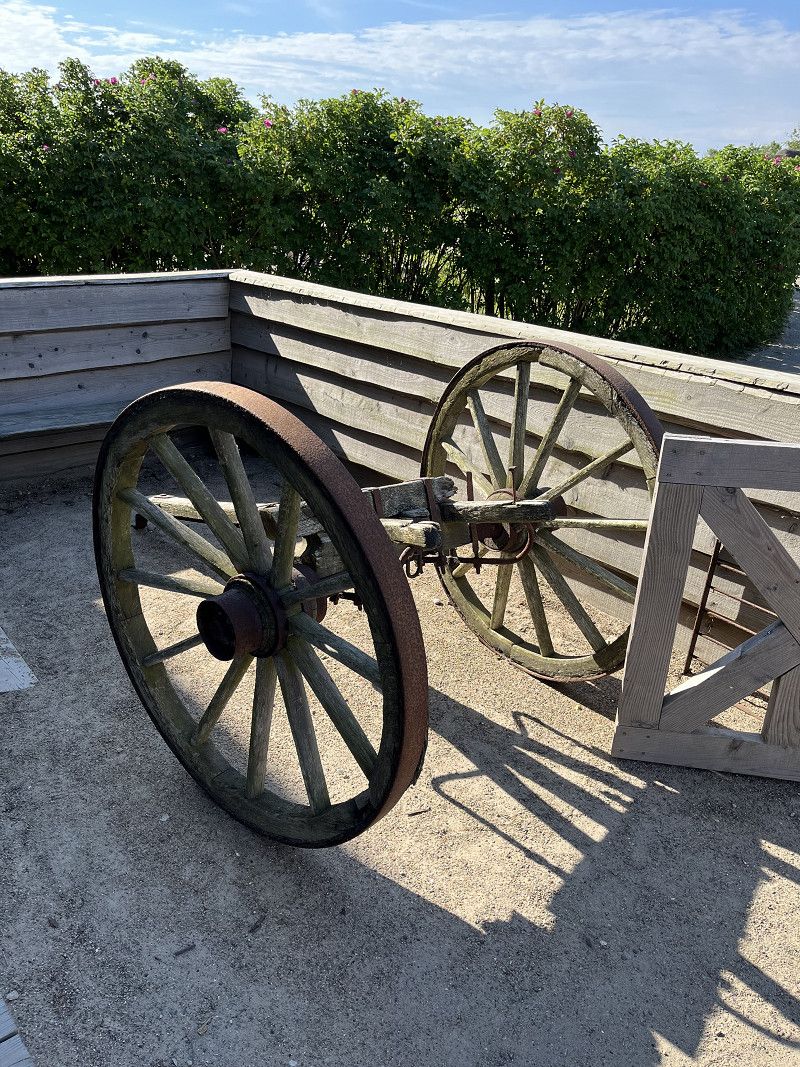
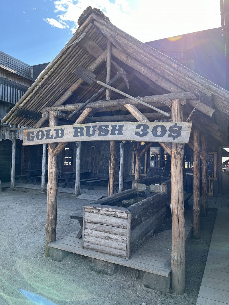
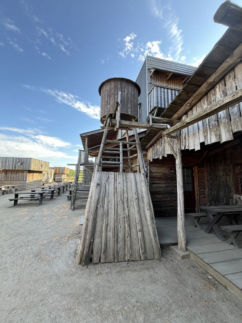
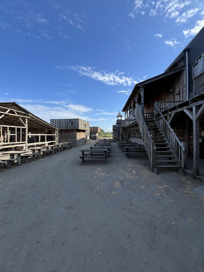
The campsite's offering is hard to beat, as nothing is missing, be it restaurants, a wellness area (3 hours free between Monday and Thursday), a water park, a children's playground, a fishing lake (1 fish per day is free), a western village, a dog park, a sports field and much more. The entire complex is very well maintained.
We noticed, however, that there are a lot of dogs all over the campsite. The barking of dogs can be quite annoying. The only downside is the WiFi network. As a Swiss citizen who pays for data roaming, it is advisable to get an eSIM if you want to surf the internet. The WiFi on the campsite is weak and unstable.
Hvidbjerg Strandvej, Blavand-Oksby, Region Süddänemark, Dänemark
55° 32' 49.2" N 8° 8' 20.8" E
55.5470072 8.1391108
• Head west. Go for 32 m.
• Turn left toward Hvidbjerg Strandvej. Go for 264 m.
• Continue on Hvidbjerg Strandvej. Go for 126 m.
• Turn right onto Hvidbjerg Strandvej. Go for 447 m.
• Turn left onto Sønder-Vasevej. Go for 1.2 km.
• Turn left onto Fyrvej. Go for 2.2 km.
• Arrive at Fyrvej.
☍
4,3 km
( 11 min.)
Blavand-Oksby
Blavandshuk is the westernmost point of Denmark and is located a good 4 kilometers from the Hvidbjerg Strand Feriepark campsite.
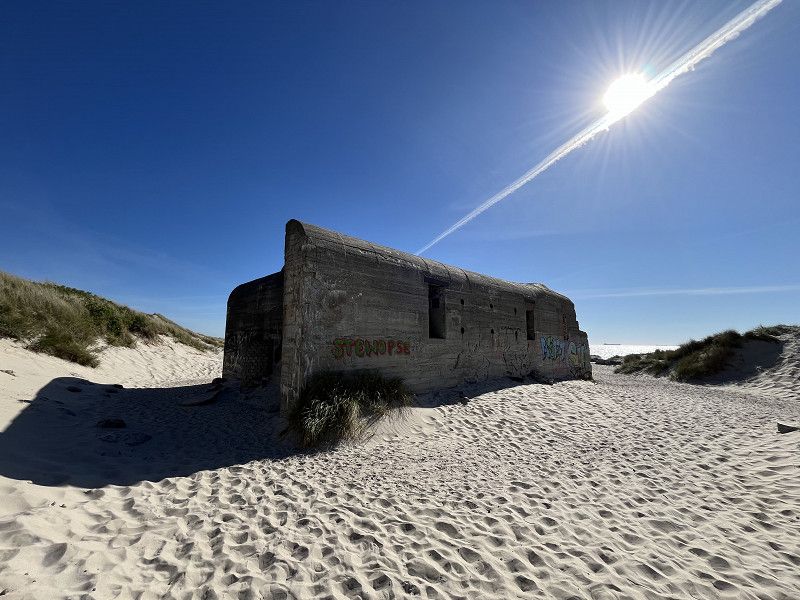
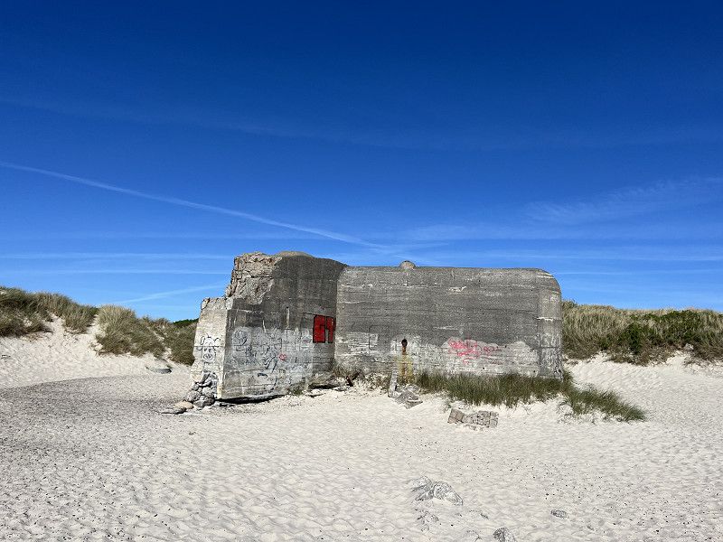
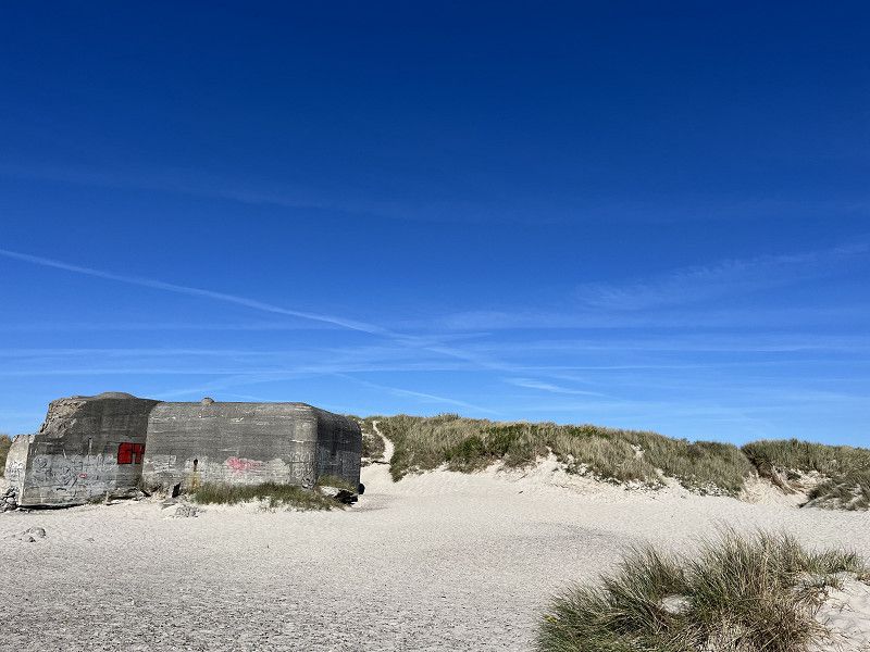
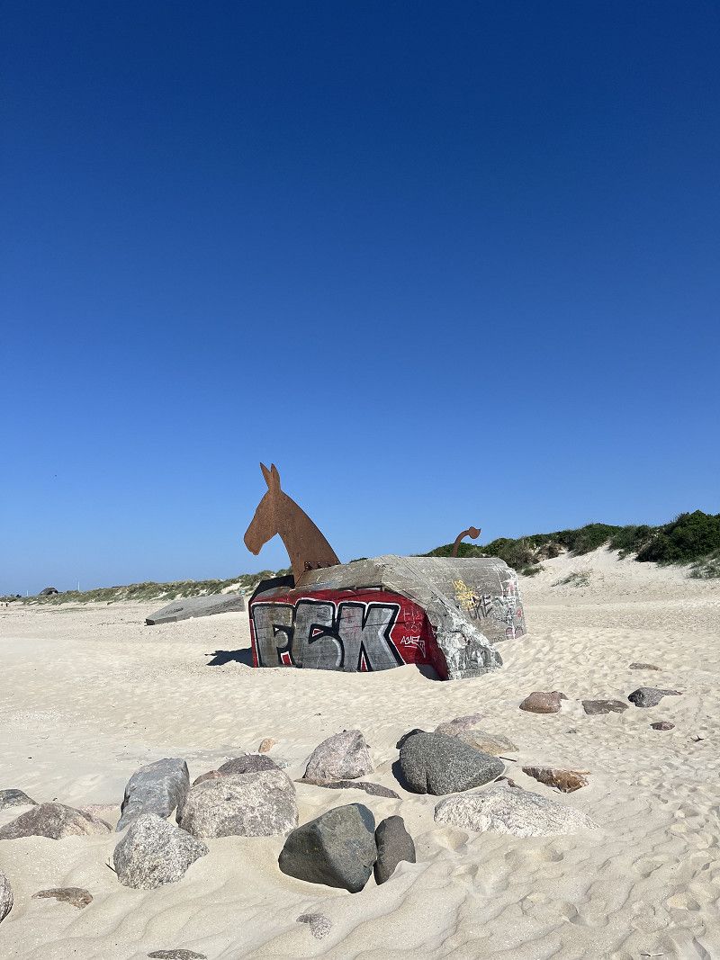
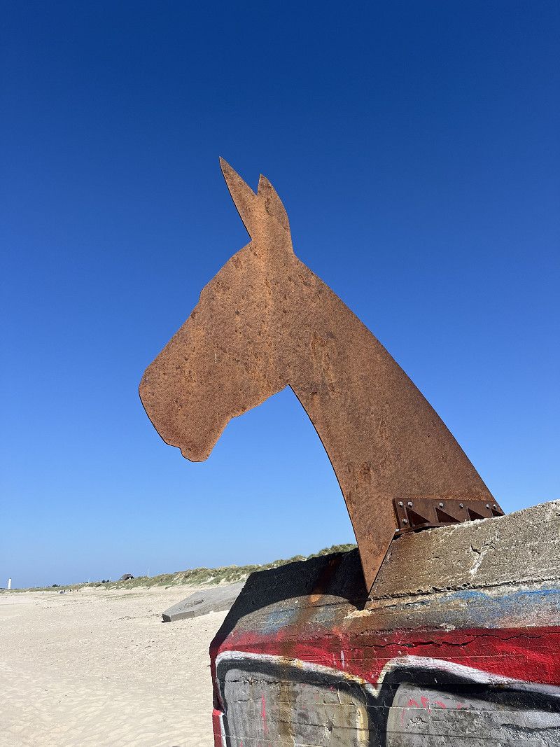
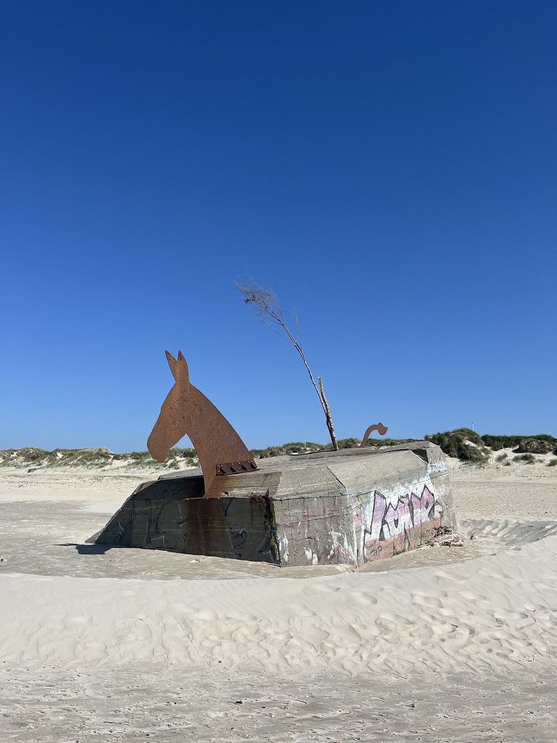
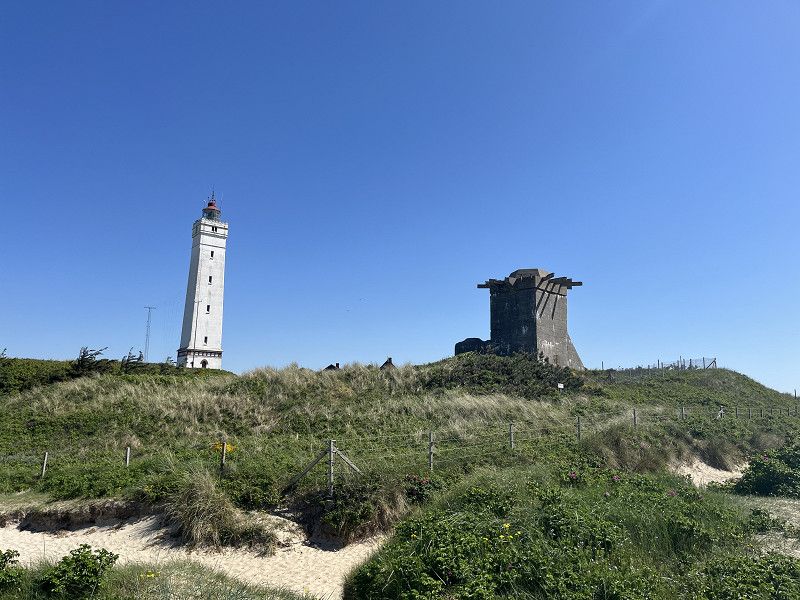
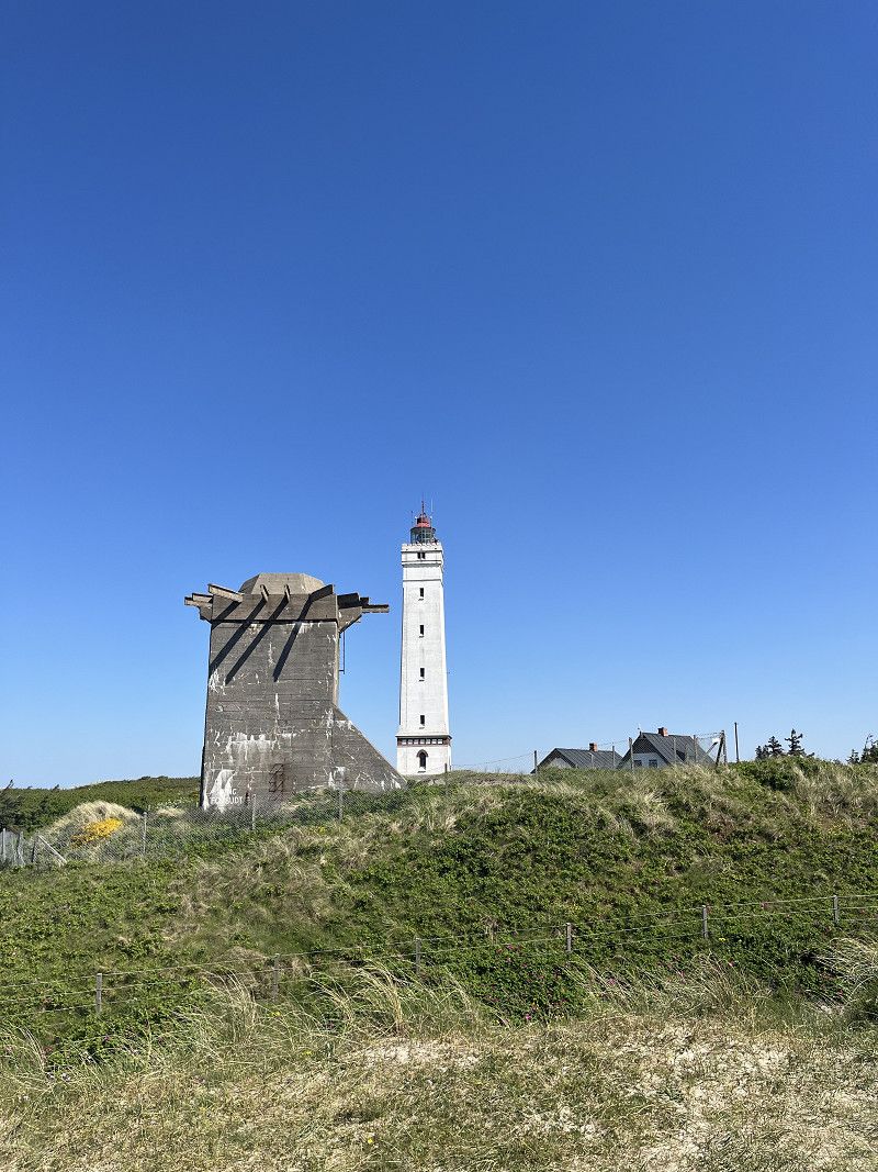
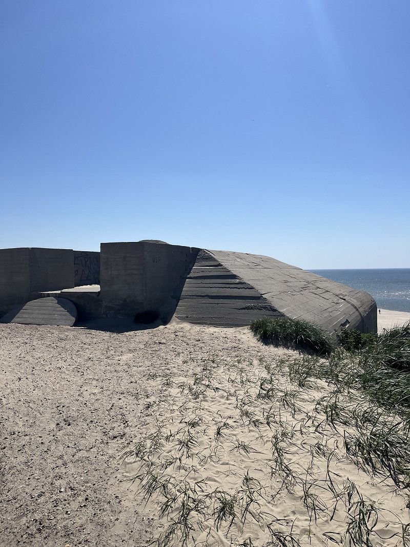
This excursion destination is easy to reach via the sandy beach. The sandy beach is beautiful and there were only a few people around in the morning. There were also some old bunkers from World War II on the beach, which can be recognized as large horses (see photos). At the westernmost point there is an old bunker complex and a lighthouse. The area is simply gorgeous, almost kitschy. A trip there is definitely worth it.
Fyrvej, Blavand-Oksby, Region Süddänemark, Dänemark
55° 33' 28.2" N 8° 4' 59.7" E
55.5578281 8.0832550
• Head west on Fyrvej. Go for 221 m.
• Turn right onto Fyrvej. Go for 1.5 km.
• Turn left onto Per Knoldsvej. Go for 96 m.
• Turn left onto Horns Rev. Go for 382 m.
• Turn right onto Homs Rev. Go for 54 m.
• Arrive at Homs Rev. Your destination is on the left.
☍
2,3 km
( 5 min.)
Blåvand
The municipality of Blåvand has about 200 inhabitants but more than 2000 holiday homes (source: Wikipedia). Blåvand is a typical holiday region and this is also reflected in the main road that runs right through the town. In addition to holiday homes, there are countless souvenir shops and other shops that are geared towards tourism.
Region Süddänemark, Dänemark
55° 33' 18.3" N 8° 6' 6.3" E
55.5550872 8.1017459
• Head toward Horns Rev on Homs Rev. Go for 54 m.
• Turn left onto Horns Rev. Go for 382 m.
• Turn right onto Per Knoldsvej. Go for 96 m.
• Turn left onto Fyrvej. Go for 1.3 km.
• Continue on Blåvandvej. Go for 7.0 km.
• Turn left onto Blåvandvej (431). Go for 8.8 km.
• Continue on Vesterhavsvej (431). Go for 1.3 km.
• Take the 1st exit from roundabout onto Tarphagevej (463). Go for 15.5 km.
• Keep left toward Ribe/463/Esbjerg/E20. Go for 61 m.
• Take the 2nd exit from roundabout onto Vestkystvej (12/463) toward E20/Esbjerg/Ribe. Go for 2.4 km.
• Take the 4th exit from roundabout onto E20 (Esbjergmotorvejen) toward Kolding/Ribe. Go for 60.5 km.
• Take the exit toward Flensborg onto E45 (Sønderjyske Motorvej). Go for 82.9 km.
• Continue on A7. Go for 156 km.
• Keep left onto A7. Go for 371 km.
• Keep right onto A7 (Hattenbacher Dreieck) toward München/Stuttgart/Würzburg/Fulda/Basel/Frankfurt/Wiesbaden/Gießen. Go for 362 km.
• Take exit 128 toward Bregenz/Lindau onto A96. Go for 64.2 km.
• Continue on A14 (Rheintal Autobahn). Go for 22.8 km.
• Take exit 23 toward Diepoldsau. Go for 722 m.
• Take the 4th exit from roundabout onto Diepoldsauer Straße (L46) toward Chur/St. Gallen/Diepoldsau. Go for 459 m.
• Continue on Hohenemserstrasse. Go for 1.5 km.
• Turn left onto Vordere Kirchstrasse. Go for 236 m.
• Continue on Oberrieterstrasse. Go for 2.7 km.
• Continue on Rietstrasse. Go for 1.8 km.
• Keep left onto Turnhallestrasse. Go for 331 m.
• Turn left onto Hauptstrasse (13). Go for 342 m.
• Arrive at Hauptstrasse (13). Your destination is on the right.
☍
1,164,4 km
(10 hrs. 33 min.)
Hirn Automobile
After Denmark had presented us with beautiful weather for 10 days, the weather forecast for the last two days was not particularly good. The weather forecast predicted light rain. It was also supposed to be cloudy and windy. So we spontaneously decided to go home two days earlier than planned.
Our conclusion about Denmark: A beautiful country, we will be back!
Hauptstrasse 62, Balgach, Wahlkreis Rheintal, St. Gallen, Schweiz
47° 24' 19.9" N 9° 36' 6.7" E
47.4055229 9.6018528