Day
Herkenrath, Bergisch Gladbach, Deutschland
Herkenrath, 51429 Bergisch Gladbach, Deutschland
50° 59' 17.9" N 7° 11' 33.8" E
50.9883084 7.1927262
• Head toward Asselborner Weg on Johanniterstraße. Go for 134 m.
• Turn right onto Asselborner Weg. Go for 96 m.
• Turn right onto Straßen (L289). Go for 2.6 km.
• Continue on Friedrich-Ebert-Straße (L195). Go for 1.6 km.
• Take ramp onto A4 toward Köln. Go for 3.7 km.
• Take exit 19 toward Berg. Gladbach-Frankenforst/Köln-Rath/Köln-Heumar. Go for 408 m.
• Keep right toward Rather Weg/L358. Go for 42 m.
• Continue on Rather Weg (L358). Go for 3.4 km.
• Turn left onto Rather Mauspfad (L73) toward K-Grengel/A3/Flughafen. Go for 1.1 km.
• Turn left onto Rösrather Straße (L284) toward A3. Go for 731 m.
• Keep right toward A3/Köln-Porz/A4/Flughafen. Go for 44 m.
• Turn right onto Bensberger Straße (L489). Go for 432 m.
• Turn left and take ramp onto A3 toward Frankfurt a.M. Go for 157 km.
• Take exit 48 toward Basel/Stuttgart/Darmstadt/Mainz onto A67. Go for 25.1 km.
• Continue on E35 (Darmstädter Kreuz) toward Basel/Karlsruhe/Heidelberg/A5. Go for 1.1 km.
• Continue on A5. Go for 243 km.
• Take exit 64A toward Bad Krozingen/Staufen/Münstertal/Colmar/Breisach. Go for 213 m.
• Turn right onto B31 toward Bad Krozingen/Münstertal/Staufen/Ehrenkirchen. Go for 234 m.
• Continue on L120 toward Bad Krozingen/Staufen. Go for 3.9 km.
• Take the 2nd exit from roundabout onto L120. Go for 705 m.
• Keep right onto L120 toward Lörrach/Münstertal/Staufen/Krankenhaus Herz-Zentrum. Go for 165 m.
• Continue on B3. Go for 631 m.
• Take the 1st exit from roundabout onto B3 toward Lörrach/Münstertal/Staufen/Krankenhaus Herz-Zentrum. Go for 1.5 km.
• Take the 3rd exit from roundabout onto L123 toward Münstertal/Staufen. Go for 1.8 km.
• Pass 4 roundabouts and continue on L123. Go for 6.3 km.
• Turn left onto Dietzelbachstraße. Go for 181 m.
• Arrive at Dietzelbachstraße. Your destination is on the left.
☍
455,7 km
(4 hrs. 10 min.)
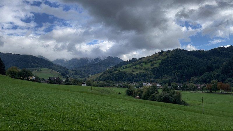
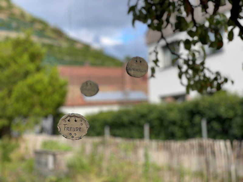
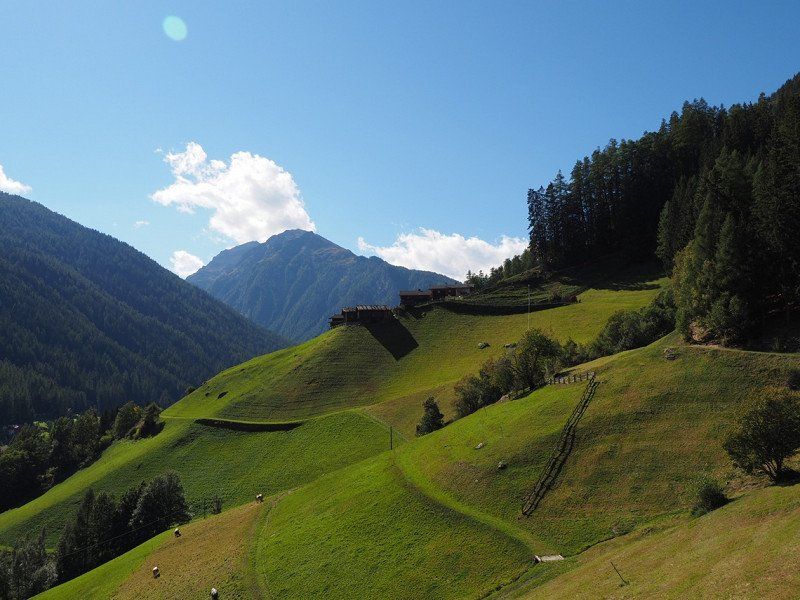
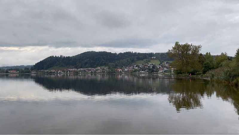
Camping Münstertal
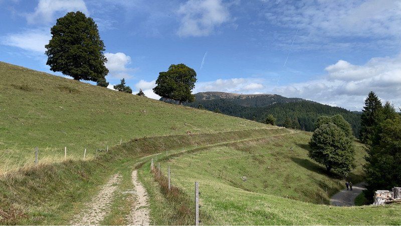
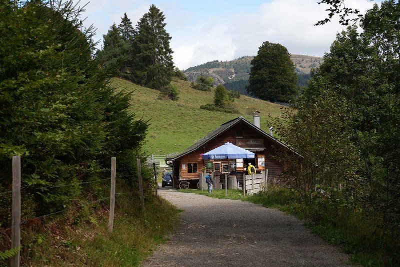
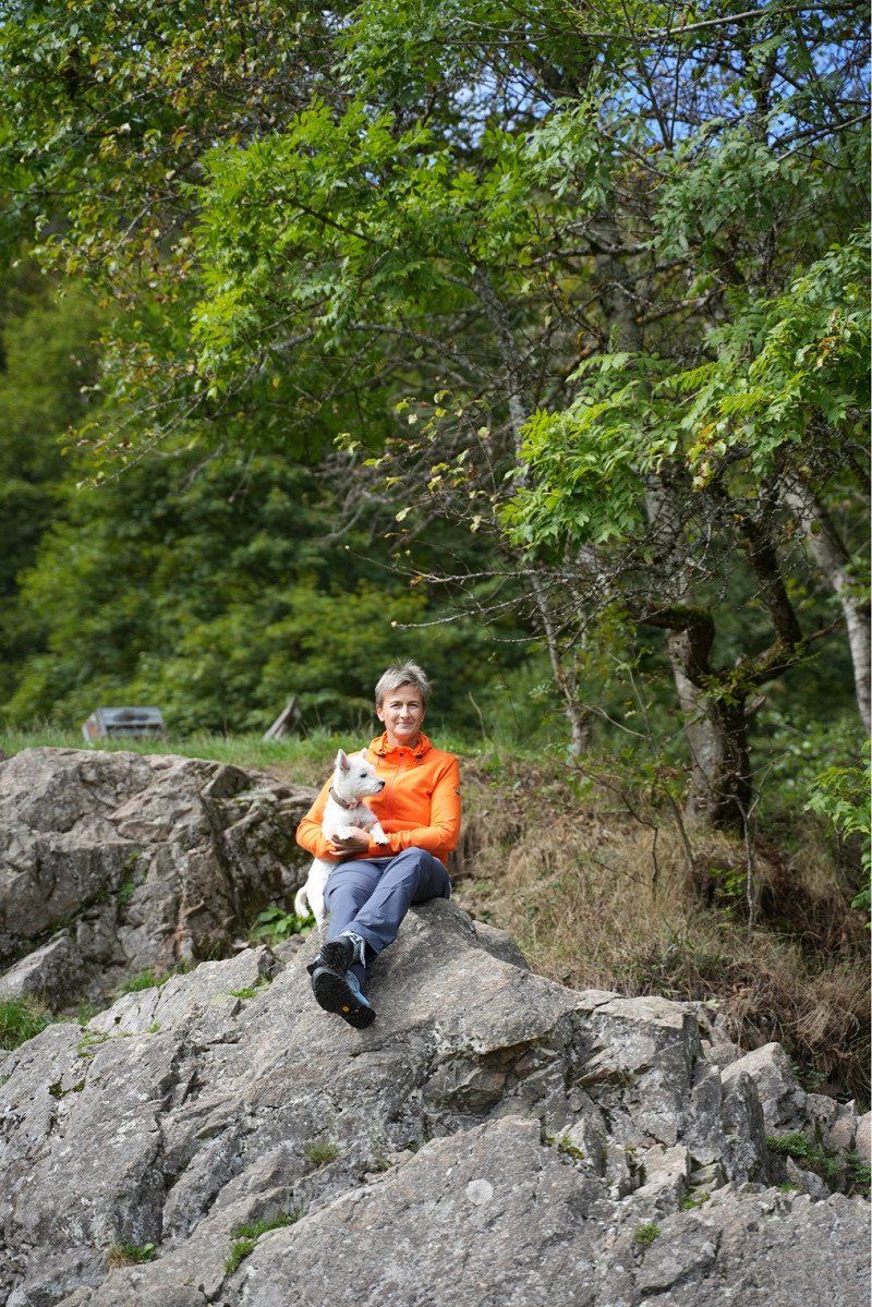
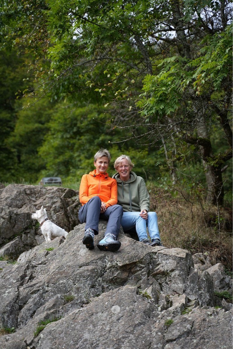
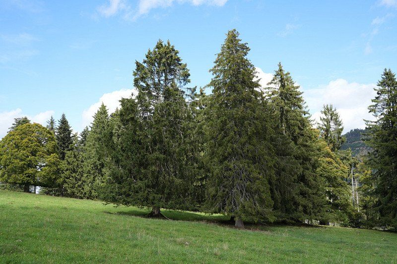
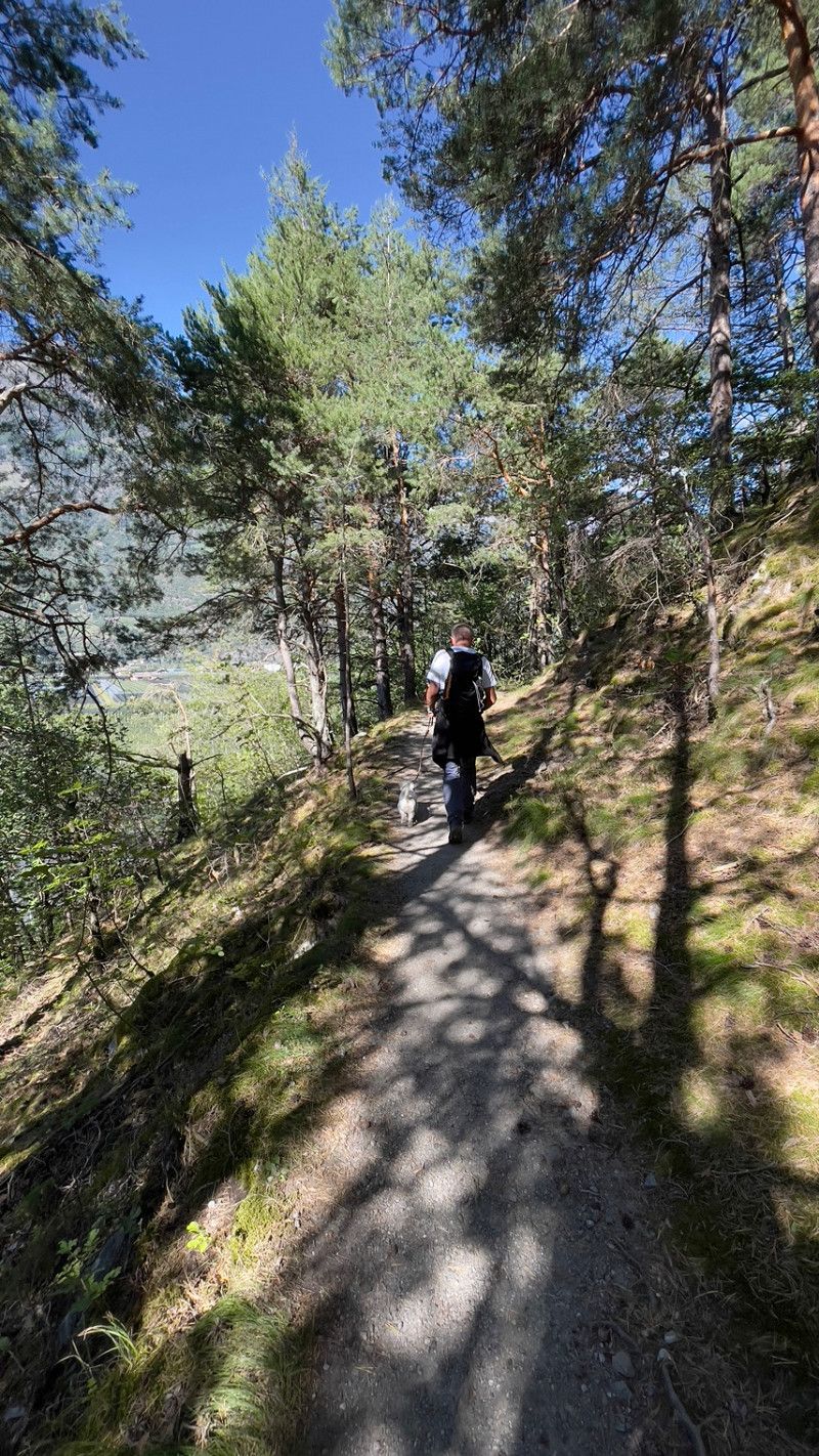
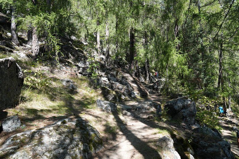
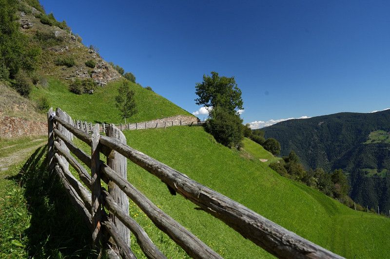
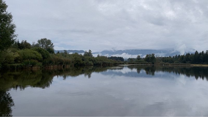
The first stage of our round trip takes us from Herkenrath to Münstertal. Very nice campsite in beautiful surroundings with great hiking trails.
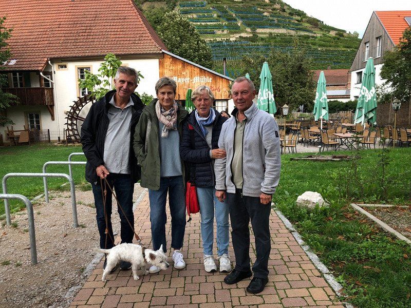
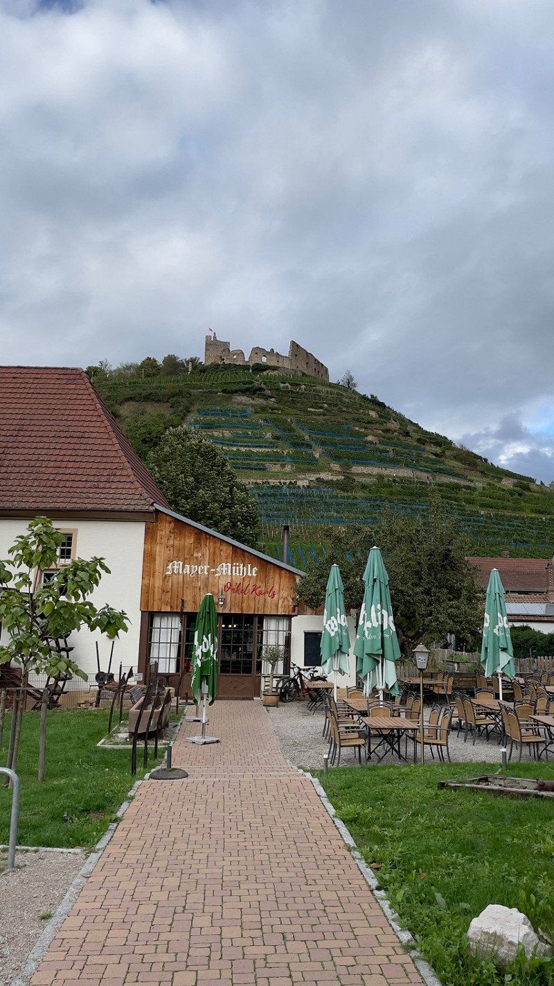
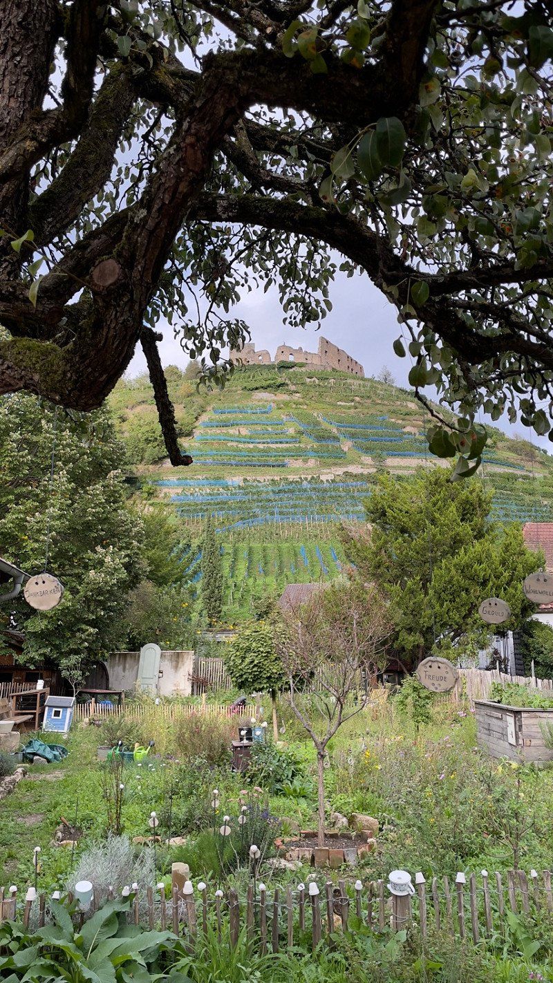
In the evening we drive to Staufen for dinner.
Dietzelbachstraße 6, 79244, Münstertal, Deutschland
47° 51' 35" N 7° 45' 48" E
47.8597200 7.7633300
• Head north on Dietzelbachstraße.
• Arrive at Dietzelbachstraße. Your destination is on the left.
☍
Distance not available
(Duration not available)
Day
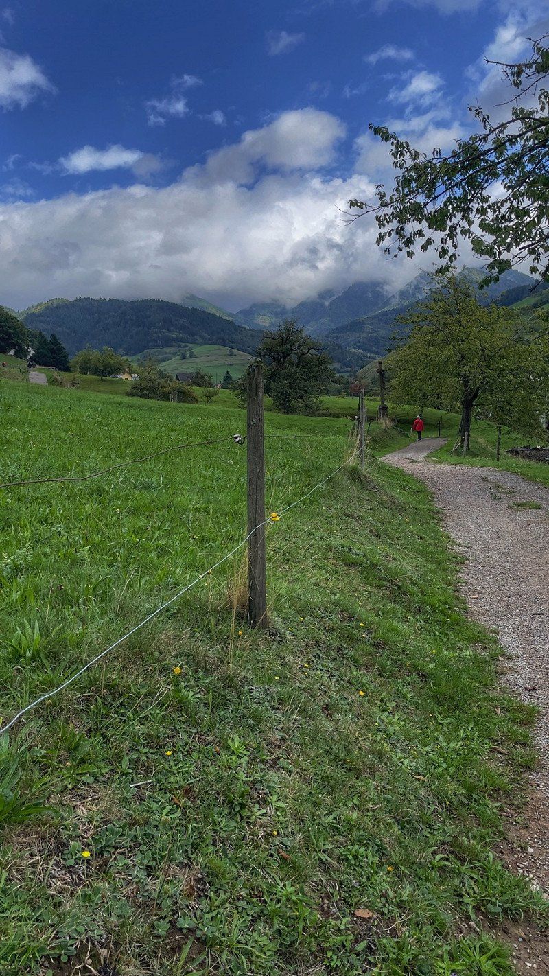
Camping Münstertal
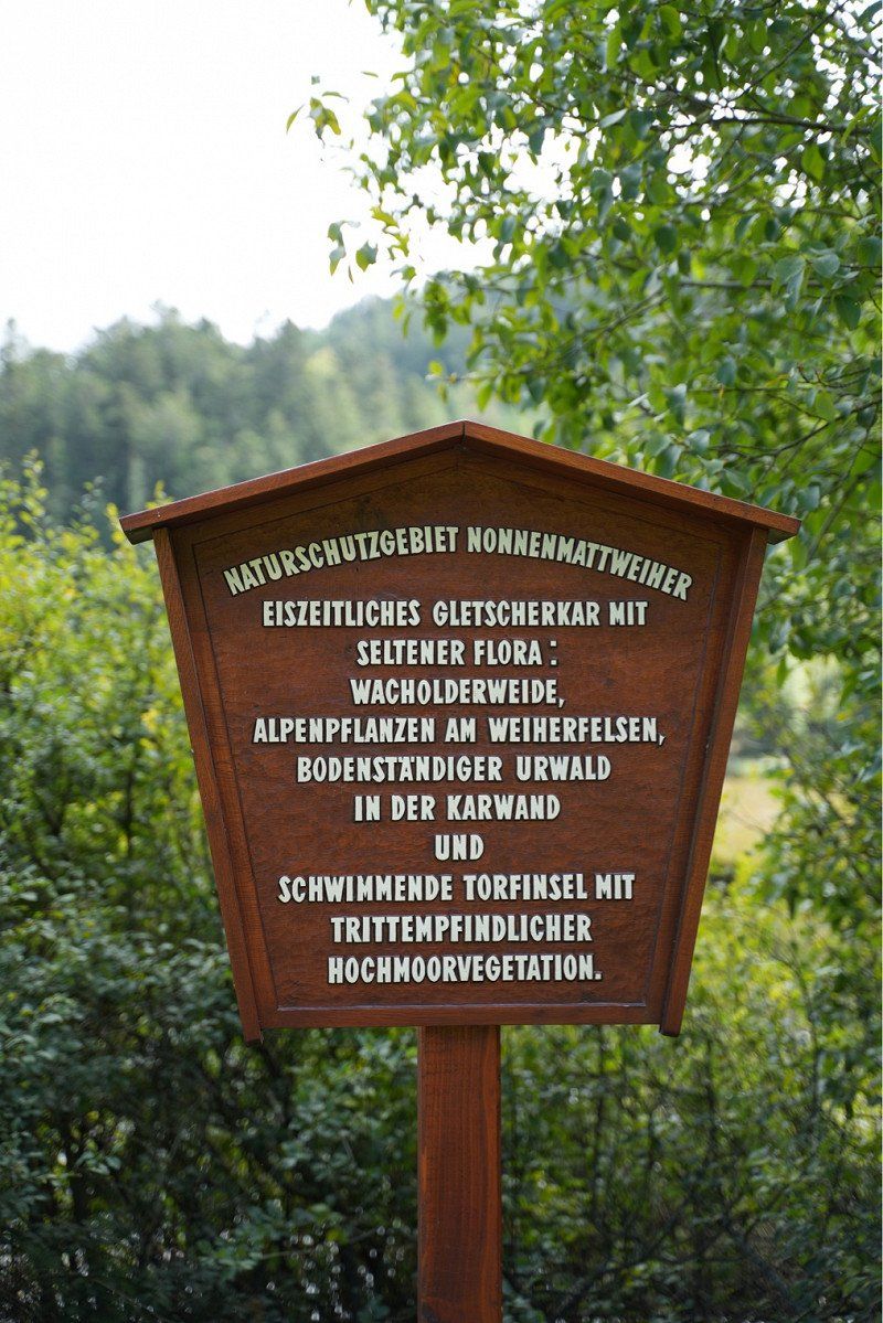
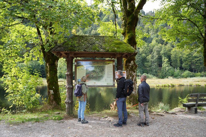
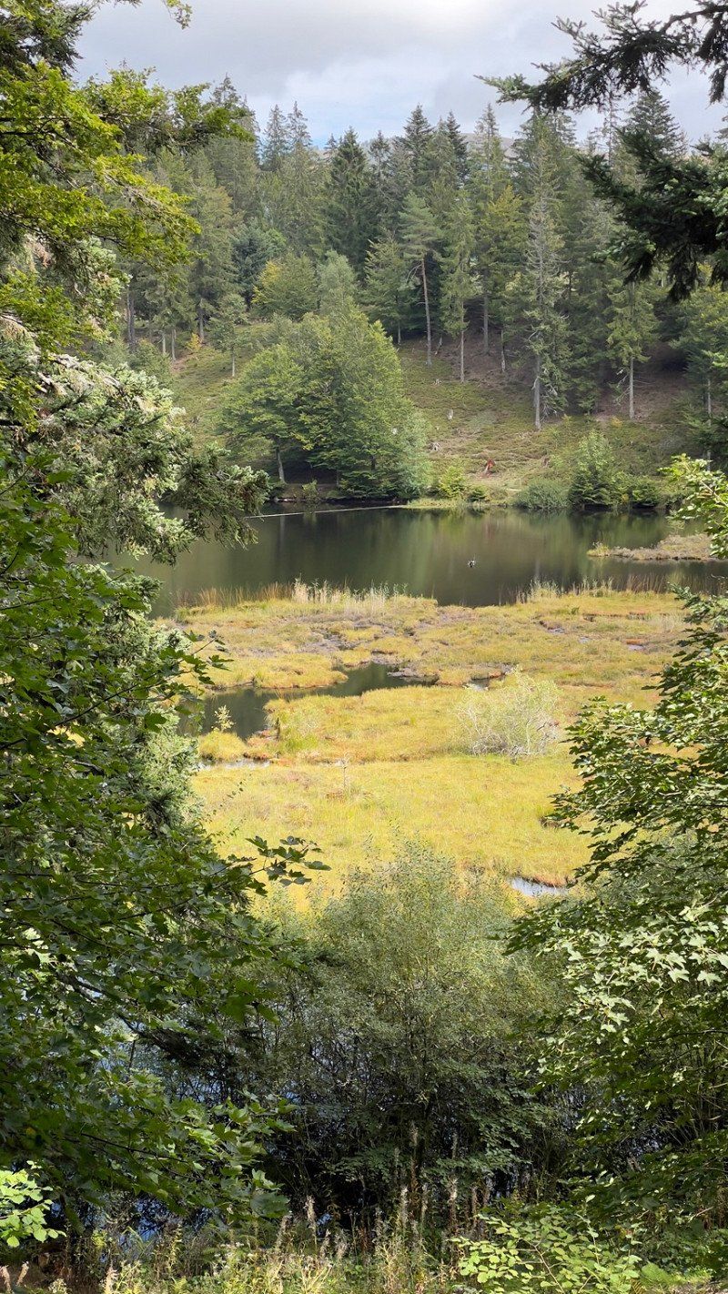
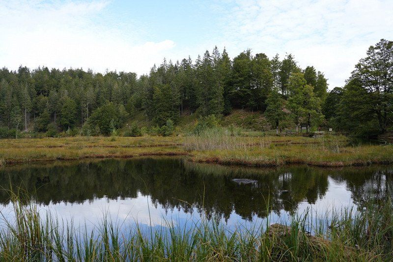
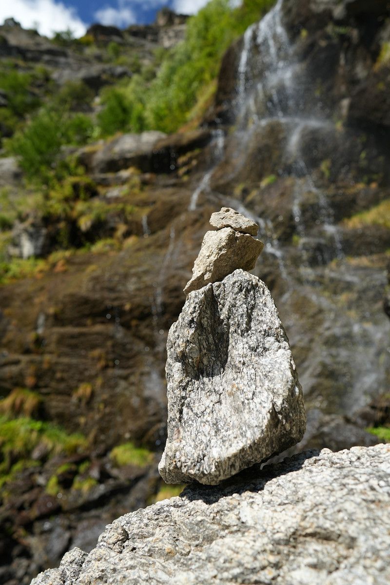
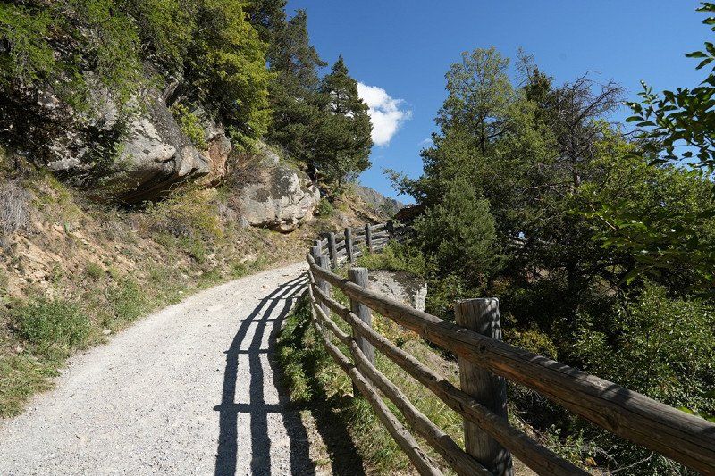
Hike to the Nonnenmattweiher
Dietzelbachstraße 6, 79244, Münstertal, Deutschland
47° 51' 35" N 7° 45' 48" E
47.8597200 7.7633300
• Head south on Dietzelbachstraße. Go for 181 m.
• Turn right onto Hof (L123). Go for 3.8 km.
• Take the 2nd exit from roundabout onto L123 toward Freiburg/Bad Krozingen/Müllheim. Go for 785 m.
• Take the 3rd exit from roundabout onto L129 toward Müllheim/Heitersheim/Wettelbrunn. Go for 224 m.
• Turn right onto K4983 toward Heitersheim/Tunsel/Schmidhofen. Go for 3.2 km.
• Pass 2 roundabouts and continue on K4983. Go for 5.1 km.
• Turn left onto Grißheimer Weg (L134). Go for 1.9 km.
• Take the 1st exit from roundabout onto K4998. Go for 1.2 km.
• Take ramp onto A5 toward Basel. Go for 35.3 km.
• Take the exit toward Rheinfelden/Lörrach onto A98. Go for 16.6 km.
• Take exit 7 toward Schweiz/Rheinfelden-Mitte onto A861. Go for 4.6 km.
• Continue on A861. Go for 106 m.
• Continue toward A3. Go for 508 m.
• Take the left exit toward Zürich/Rheinfelden-Ost onto A3. Go for 42.0 km.
• Take the left exit toward Zürich/Baden onto A1/A3. Go for 16.1 km.
• Take exit 59 toward Chur/Luzern/Westring-Zürich onto A3/A4. Go for 10.4 km.
• Take left exit 31 toward San Bernardino/Chur/Zürich-City onto A3. Go for 5.2 km.
• Take the exit toward San Bernardino/Chur onto A3. Go for 54.5 km.
• Take exit 44 toward Niederurnen/Klausen/Glarus/Näfels. Go for 955 m.
• Keep left toward Zubringerstrasse. Go for 272 m.
• Continue on Zubringerstrasse. Go for 1.2 km.
• Continue toward Stichstrasse. Go for 31 m.
• Take the 2nd exit from roundabout onto Stichstrasse. Go for 979 m.
• Take the 1st exit from roundabout. Go for 344 m.
• Turn left onto Molliserstrasse (3). Go for 13.7 km.
• Take the 1st exit from roundabout onto A3 toward Chur/Sargans/Walenstadt. Go for 25.8 km.
• Continue on A13. Go for 9.6 km.
• Take exit 14 toward Landquart/Davos/Autoverlad Vereina. Go for 250 m.
• Take the 3rd exit from roundabout onto Ragazerstrasse (3/13) toward Landquart/Davos/Autoverlad Vereina. Go for 143 m.
• Take the 2nd exit from roundabout onto Ragazerstrasse (3/13). Go for 492 m.
• Keep left toward Karlihof. Go for 262 m.
• Continue on Karlihof. Go for 1.4 km.
• Continue on Prättigauerstrasse (28). Go for 24.3 km.
• Pass 2 roundabouts and continue on Prättigauerstrasse (28). Go for 15.8 km.
• Turn left onto Sandstrasse (28). Go for 51 m.
• Turn left onto Flüelastrasse (28). Go for 25.8 km.
• Turn right onto Chantun (27/28). Go for 6.1 km.
• Turn left onto Plaz (28). Go for 40.0 km.
• Continue on Strada Statale di Val Monastero (SS41). Go for 6.3 km.
• Keep right onto Strada Statale di Val Monastero (SS41) toward Glurns/Glorenza/Meran/Merano. Go for 4.0 km.
• Turn left onto Via dei Prati. Go for 323 m.
• Arrive at Via dei Prati.
☍
379,6 km
(4 hrs. 49 min.)
Day
Day
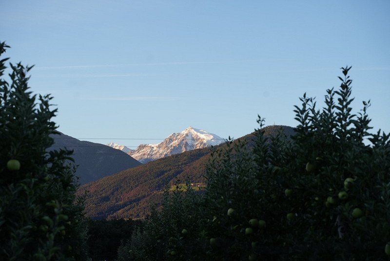
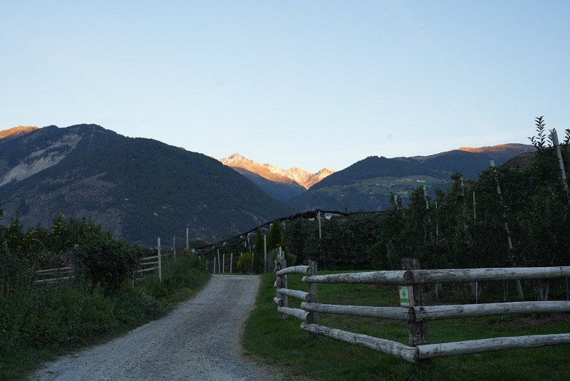
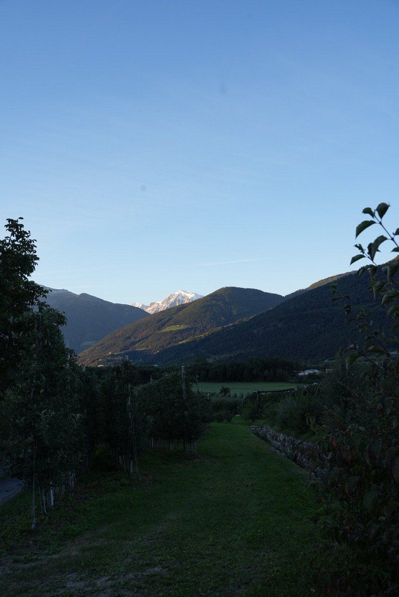
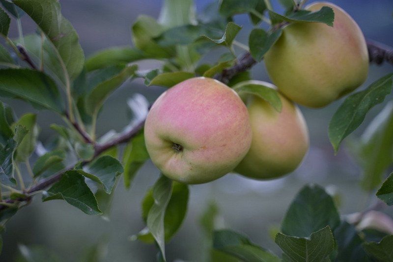
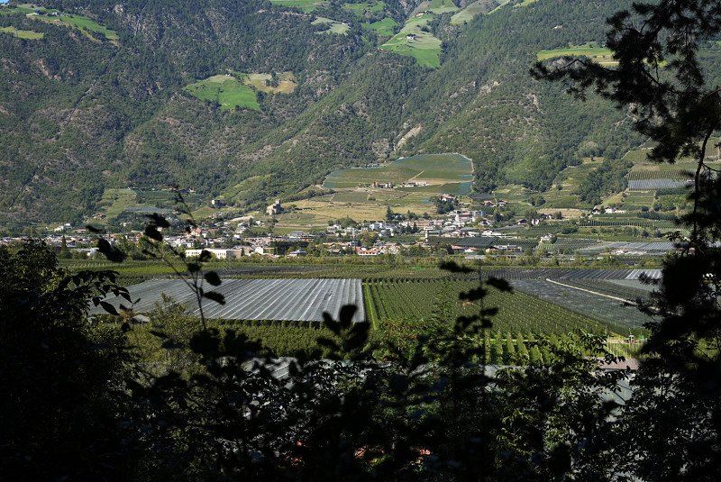
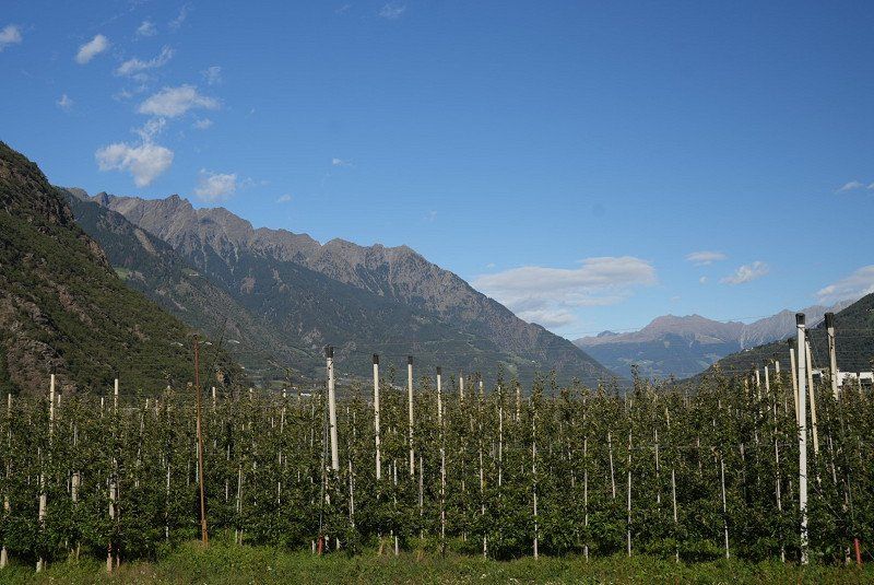
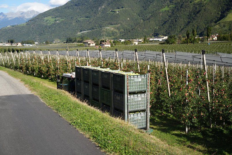
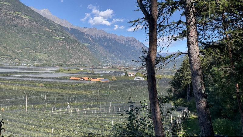
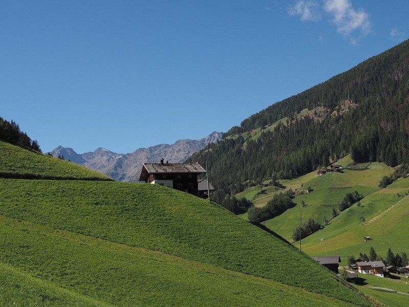
Camping Gloria Vallis
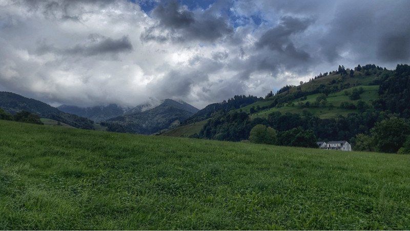
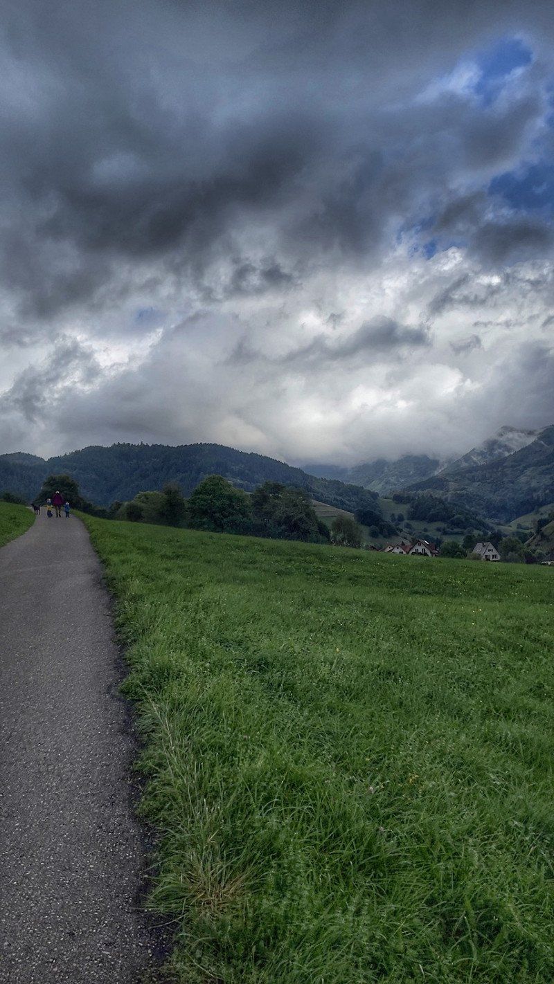
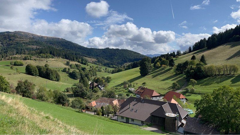
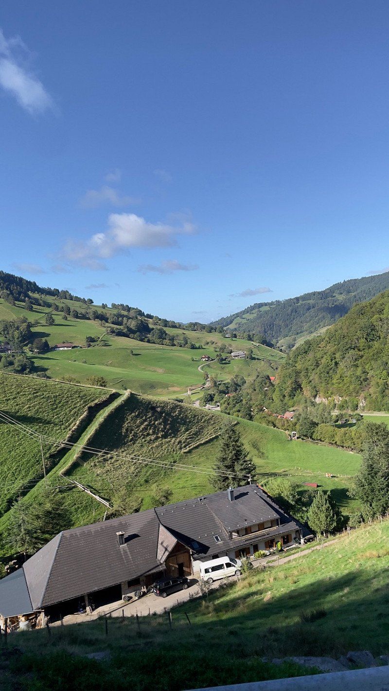
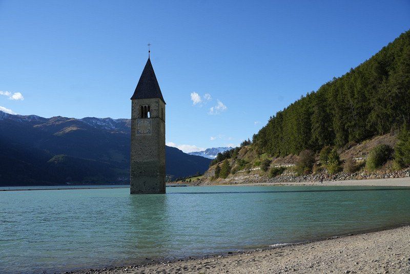
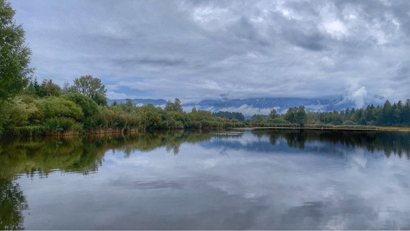
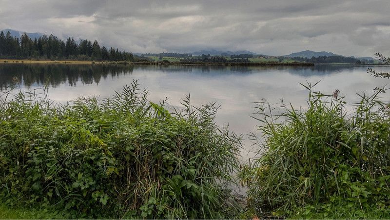
Second stage from Münstertal to Glurns.
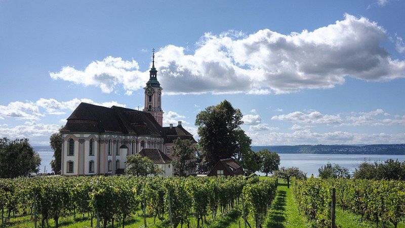
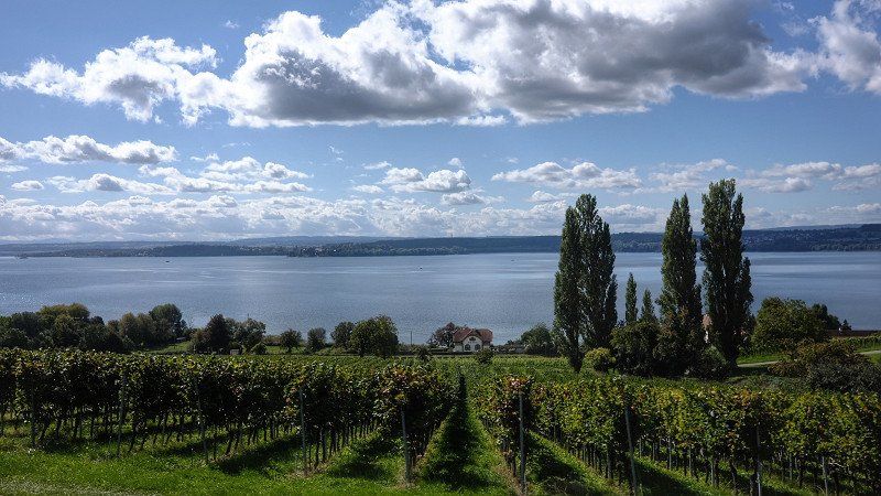
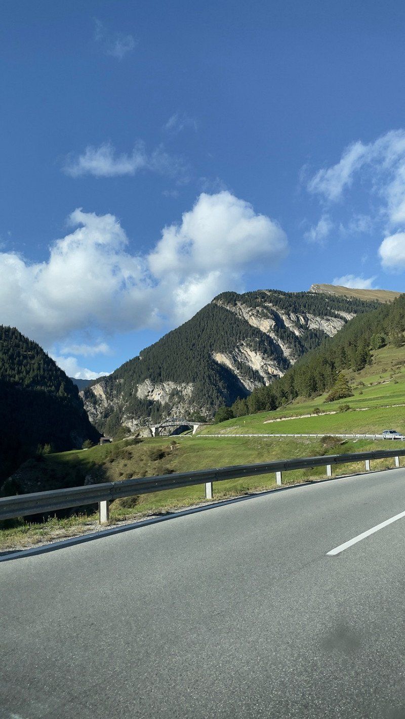
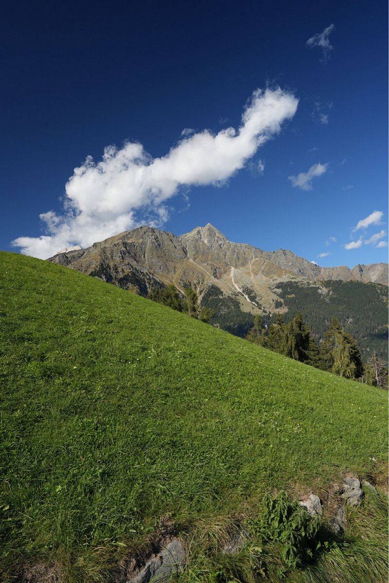
The journey took us over the Feldberg and past Lake Titisee to Lake Constance. From there we continued via Bregenz, Bludenz and Arlberg to the Reschenpass. From there it was only a stone's throw to our stage destination in Glurns.
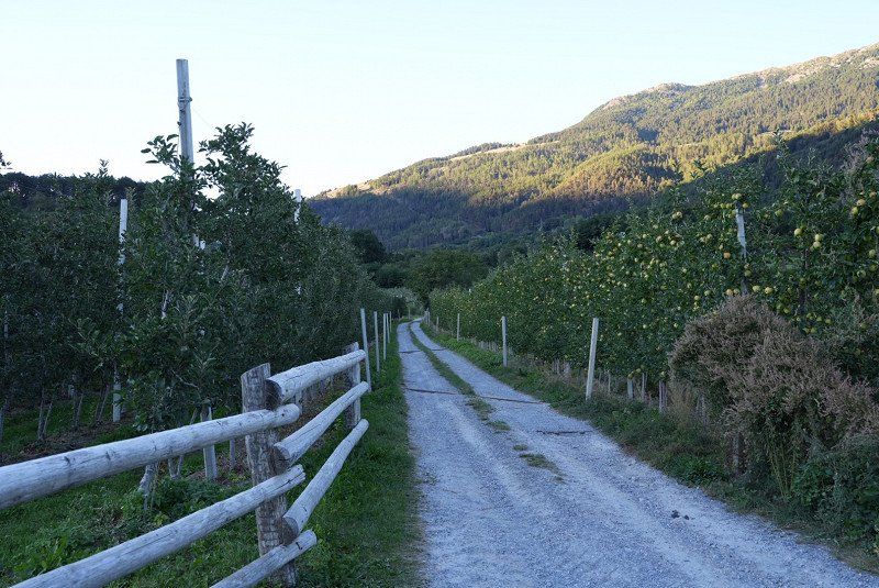
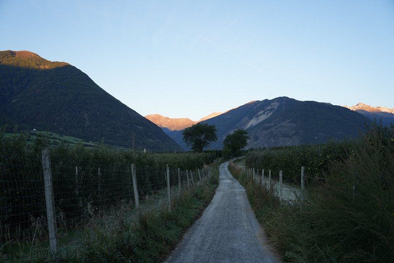
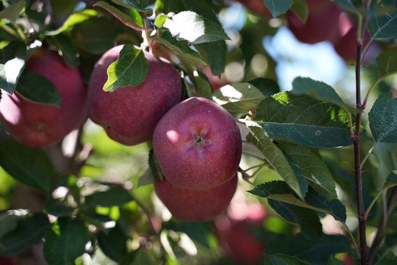
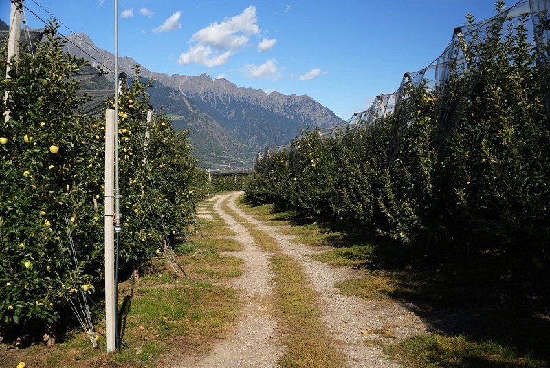
Beautifully located campsite in the middle of apple orchards and great mountain views.
Very clean sanitary facilities. Highly Recommended. *****
Wiesenweg 5, 39020, Glurns, Italien
46° 40' 23.8" N 10° 34' 11.4" E
46.6732700 10.5698300
• Head toward Via Falatsch on Via dei Prati. Go for 183 m.
• Turn left onto Via Falatsch. Go for 76 m.
• Turn left onto Via Flora (SS41). Go for 1.8 km.
• Turn right onto Strada Statale del Passo Resia (SS40) toward Meran/Merano. Go for 4.6 km.
• Take the 3rd exit from roundabout onto Strada Statale dello Stelvio (SS38) toward Meran/Merano. Go for 2.1 km.
• Pass 6 roundabouts and continue on Via Nazionale (SS38). Go for 29.6 km.
• Turn right toward Naturns West/Naturno Ovest/Tschirland/Cirlano. Go for 108 m.
• Continue on Strada Provinciale Naturno-Compaccio (SP111bis). Go for 1.5 km.
• Turn right onto Via Stazione. Go for 500 m.
• Continue on Strada Provinciale Naturno-Stava (SP111). Go for 69 m.
• Continue on Via Stazione (SP111). Go for 22 m.
• Continue on Via Stazione. Go for 144 m.
• Turn left onto Via Dornsberg. Go for 207 m.
• Turn right. Go for 38 m.
• Arrive at your destination on the right.
☍
40,9 km
( 46 min.)
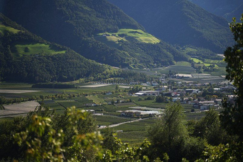
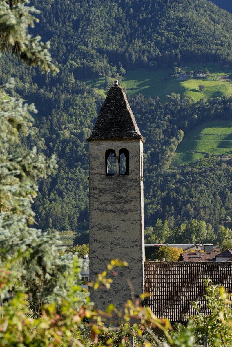
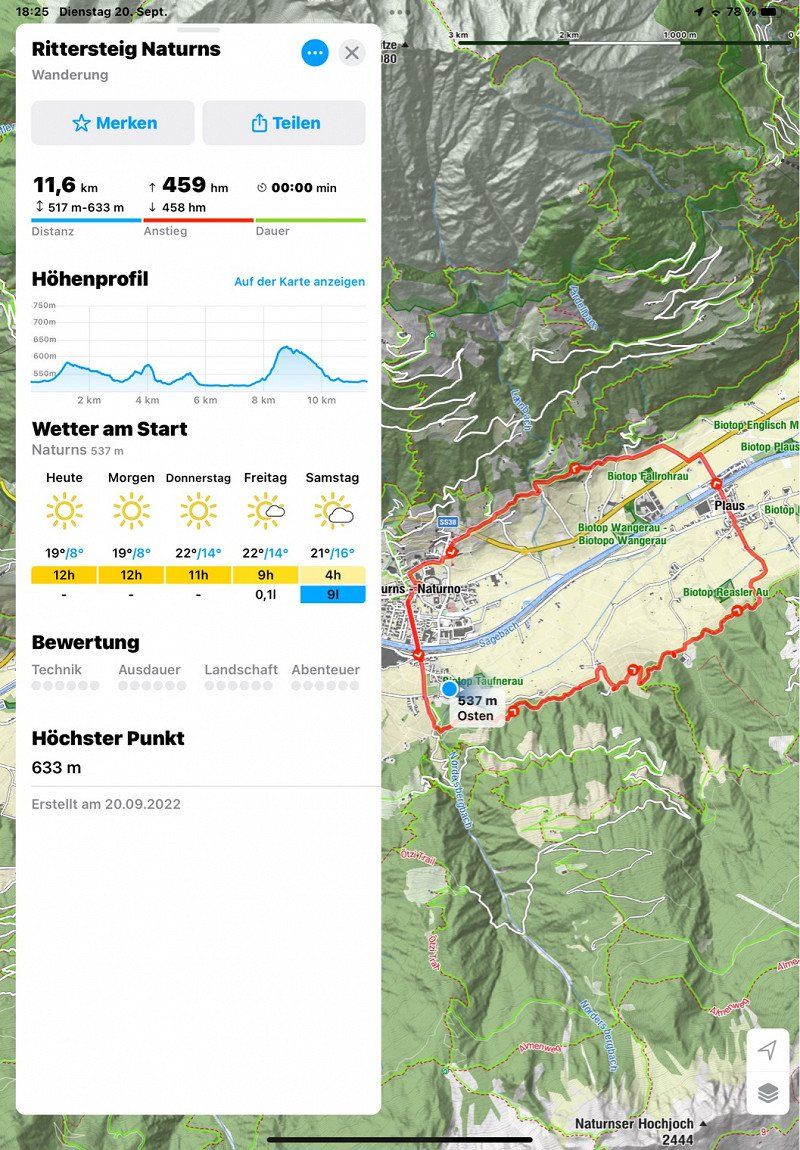
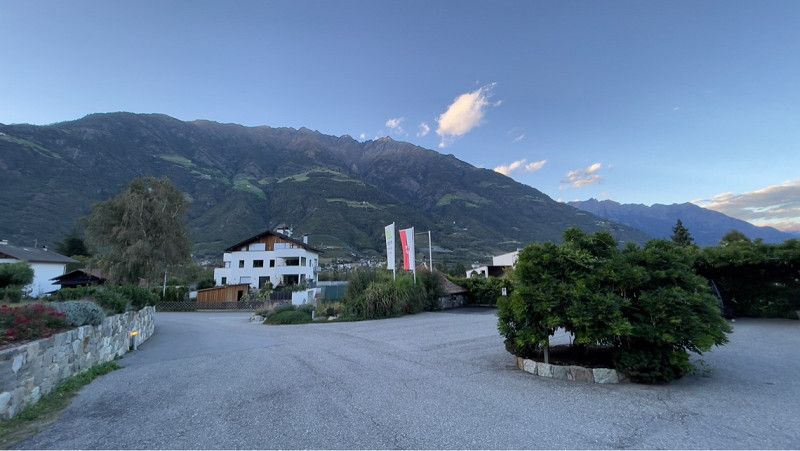
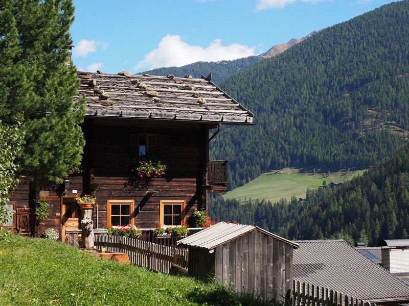
Waldcamping Naturns
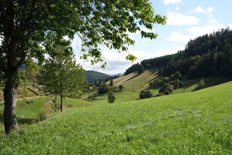
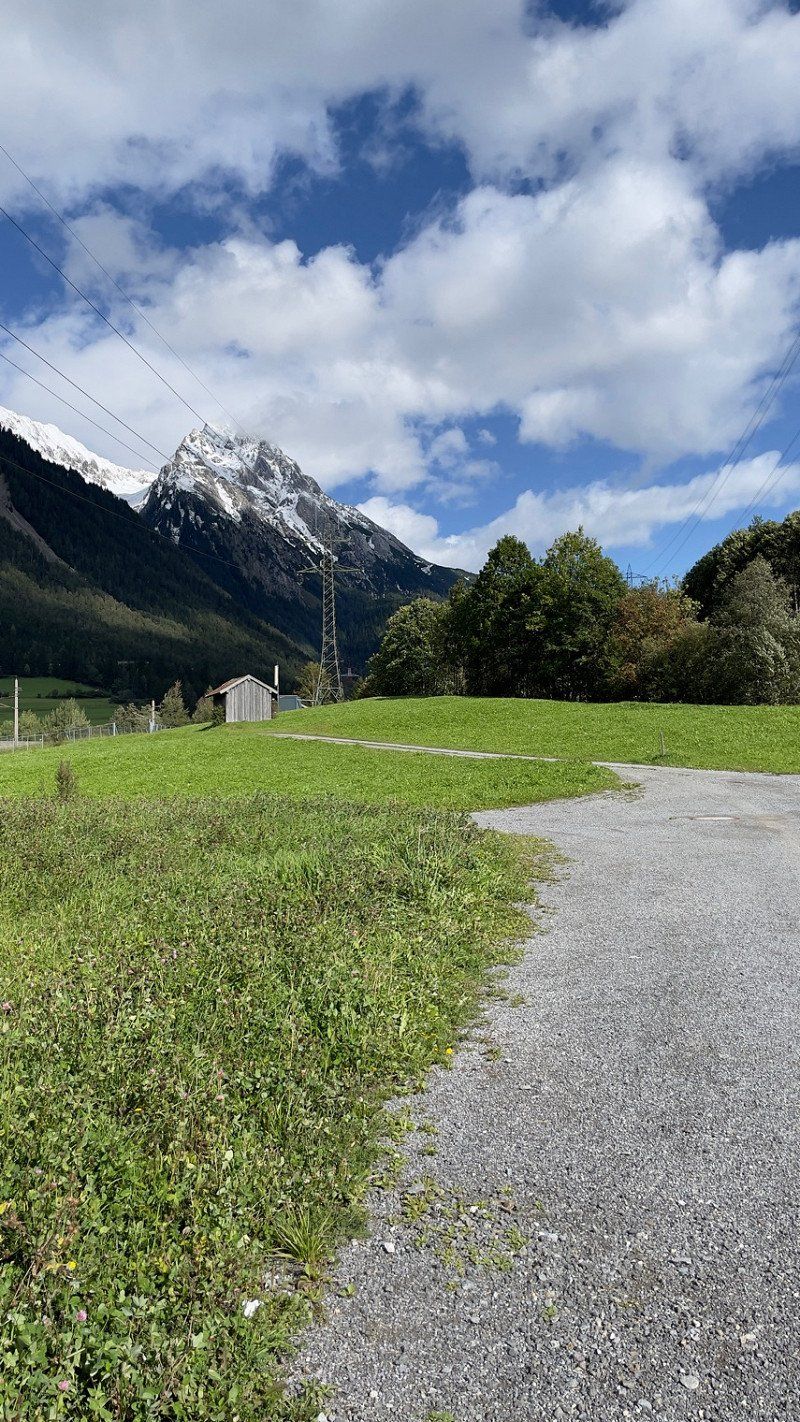
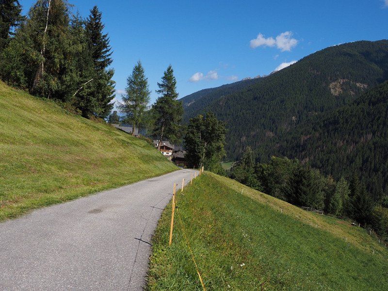
A short third stage to Naturns. Very quiet campsite on the outskirts.
After the construction we went on the knight round.
Day
Waldcamping Naturns, Via Dornsberg, Naturns, Autonome Provinz Bozen - Südtirol, Italien
Via Dornsberg, 8, 39025 Naturno BZ, Italien
46° 38' 34.9" N 11° 0' 30.5" E
46.6430185 11.0084769
• Head southeast. Go for 42 m.
• Turn right toward Via Dornsberg. Go for 182 m.
• Turn left onto Via Dornsberg. Go for 121 m.
• Turn right onto Via Stazione. Go for 166 m.
• Continue on Strada Provinciale Naturno-Stava (SP111). Go for 69 m.
• Turn right onto Strada Provinciale Naturno-Stava (SP111). Go for 188 m.
• Turn slightly left onto Via Gustav Flora (SP111). Go for 146 m.
• Continue on Via Gustav Flora (SP111). Go for 388 m.
• Take the 1st exit from roundabout onto Strada Provinciale Naturno-Stava Racc (SP111racc). Go for 753 m.
• Take the 1st exit from roundabout toward Meran/Merano/Bozen/Bolzano. Go for 105 m.
• Continue on Strada Statale dello Stelvio (SS38). Go for 3.8 km.
• Turn left onto Via San Jacob. Go for 187 m.
• Turn left onto Via Lahn. Go for 2.1 km.
• Turn right onto Via Max von Isser. Go for 124 m.
• Turn left onto Via Gaudententurm. Go for 212 m.
• Continue on Via Spauregg. Go for 29 m.
• Turn right onto Via Spauregg. Go for 59 m.
• Turn right onto Via Zehent. Go for 97 m.
• Turn slightly right onto Via Zehent. Go for 625 m.
• Turn slightly right onto Via Zehent. Go for 706 m.
• Turn left onto Via Venosta (SS38). Go for 9.8 km.
• Take ramp toward Sinich/Sinigo/Zona Industriale Lana. Go for 302 m.
• Turn right onto Strada Provinciale Zona Industriale di Lana (SP101) toward Sinich/Sinigo/Meran/Merano/Schenna/Scena/Tirol/Tirolo/Hafling/Avelengo. Go for 801 m.
• Take the 3rd exit from roundabout onto Via Max Valier (SP101). Go for 1.6 km.
• Take the 2nd exit from roundabout onto Via Merano (SS238). Go for 756 m.
• Take the 2nd exit from roundabout onto Via Merano (SS238) toward Centro. Go for 350 m.
• Take the 1st exit from roundabout onto Strada Statale delle Palade (SS238) toward Völlan/Foiana/Tisens/Tesimo/Prißian/Prissiano. Go for 5.6 km.
• Turn left onto Strada Provinciale Vilpiano-Tesimo (SP10). Go for 1.6 km.
• Turn left onto Via Capoluogo. Go for 78 m.
• Continue on Via dei Frankenberg. Go for 121 m.
• Continue on Schwimmbadweg. Go for 376 m.
• Arrive at Schwimmbadweg. Your destination is on the right.
☍
31,5 km
( 43 min.)
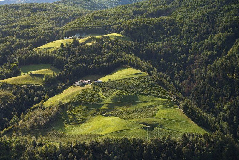
Camping Tisens****, Tisens, Autonome Provinz Bozen - Südtirol, Italien
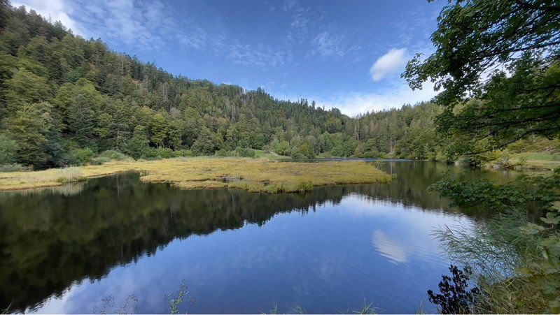
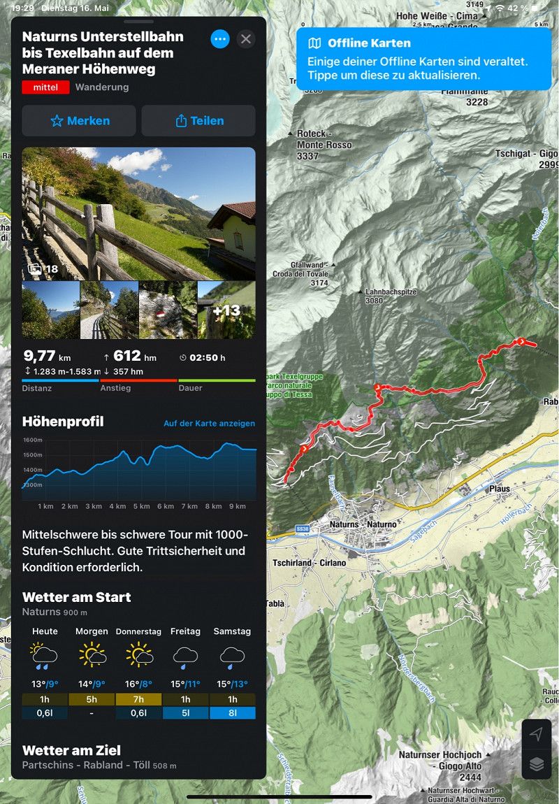
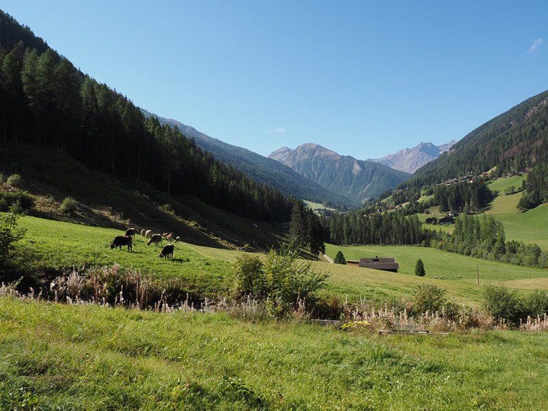
Continue to campsite number four in Tisens.
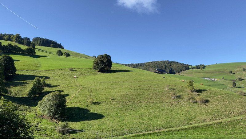
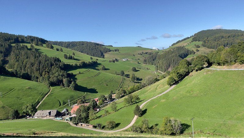
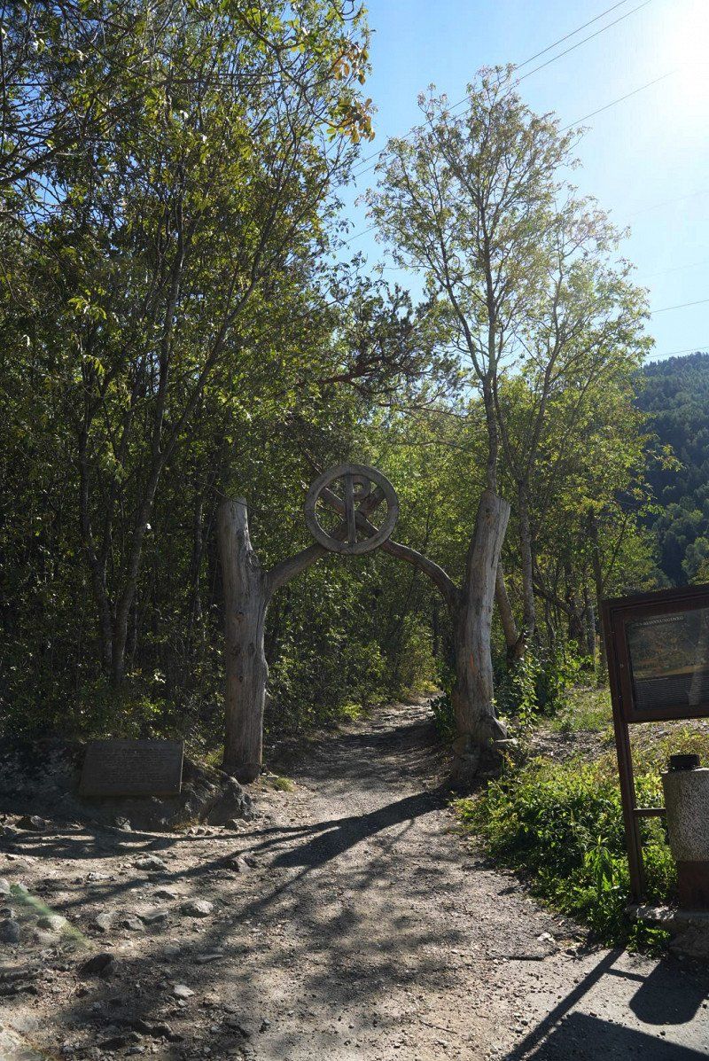
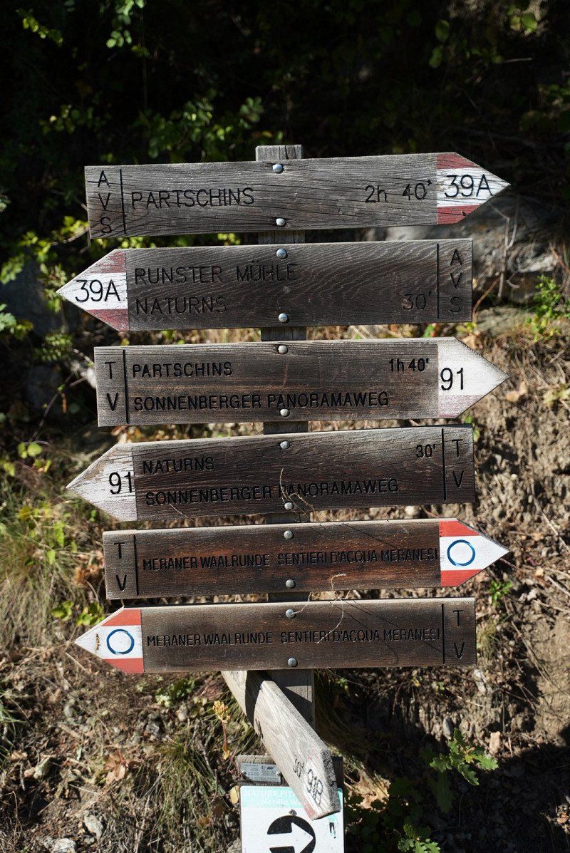
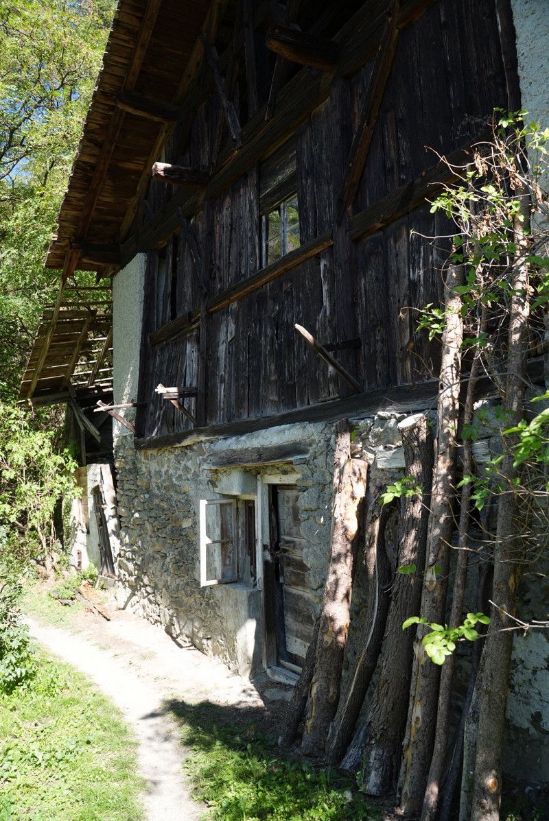
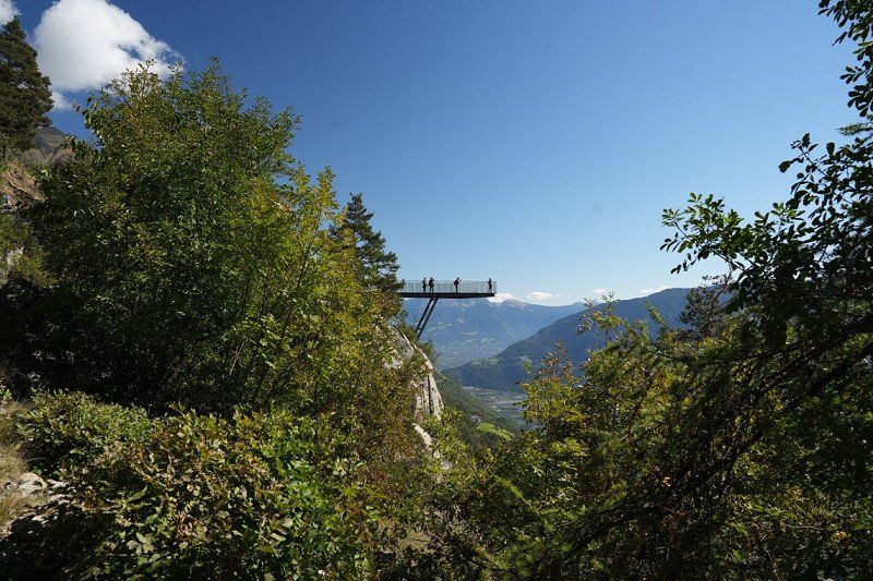
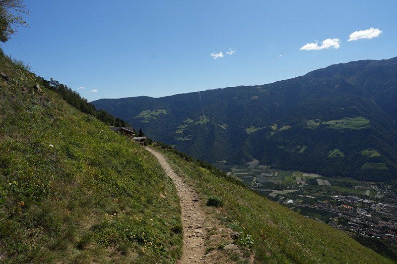
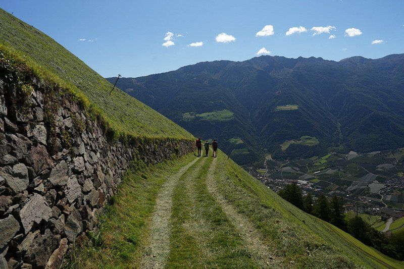
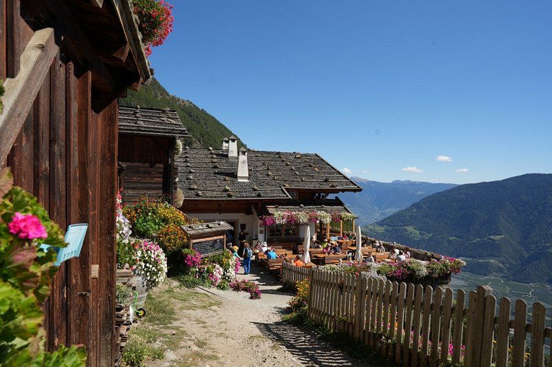
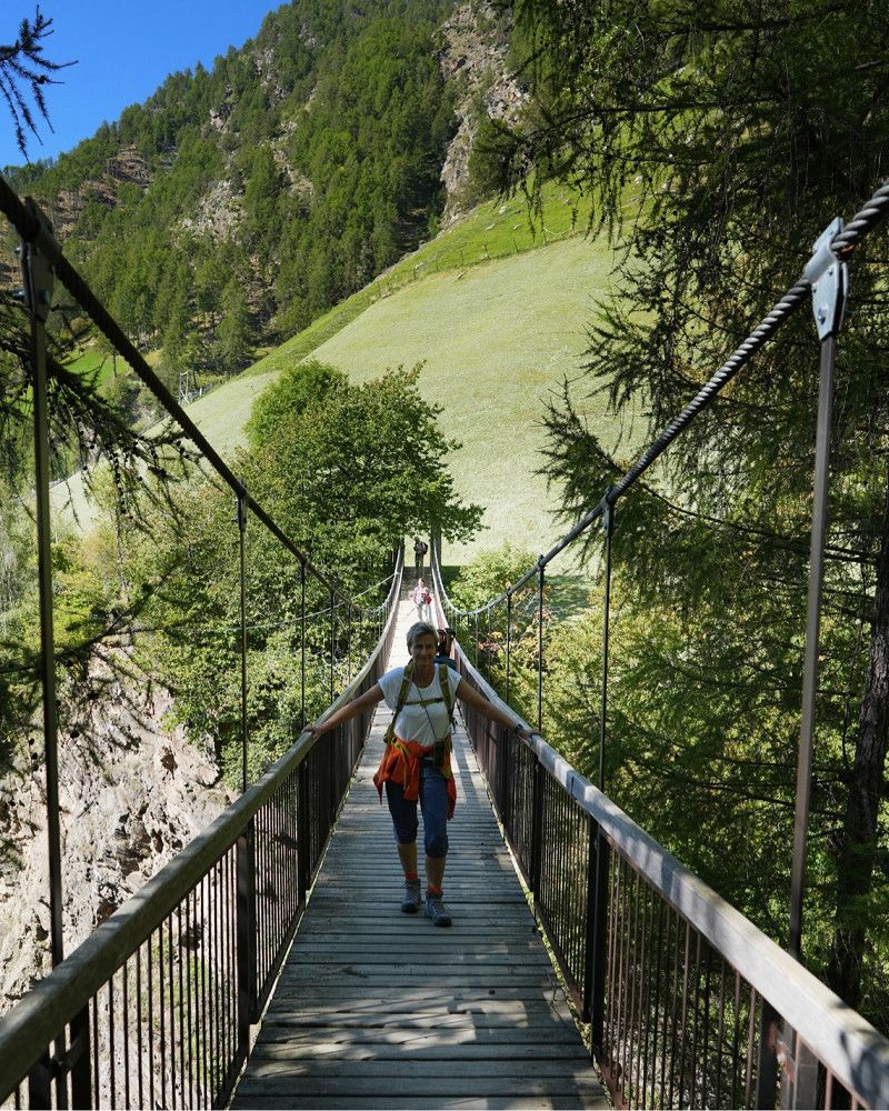
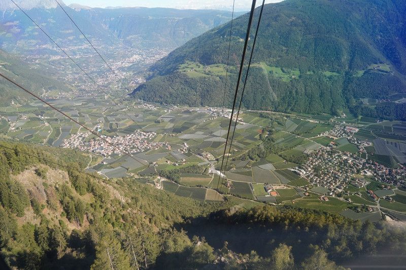
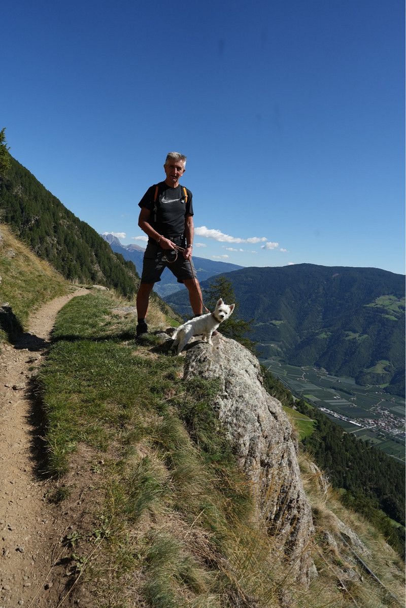
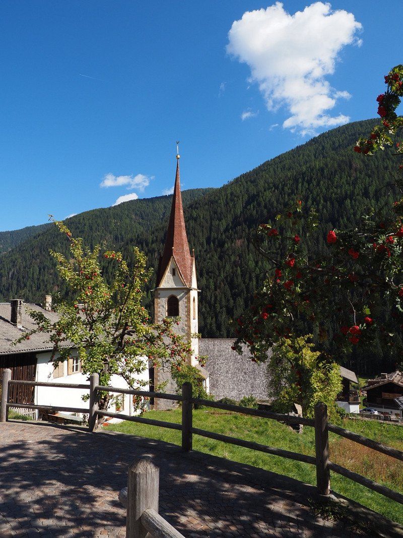
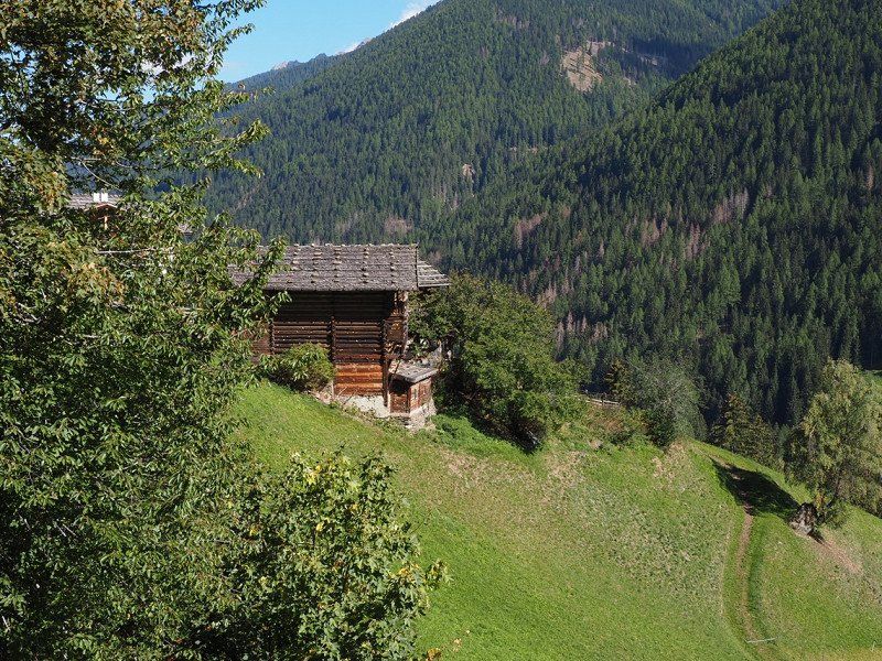
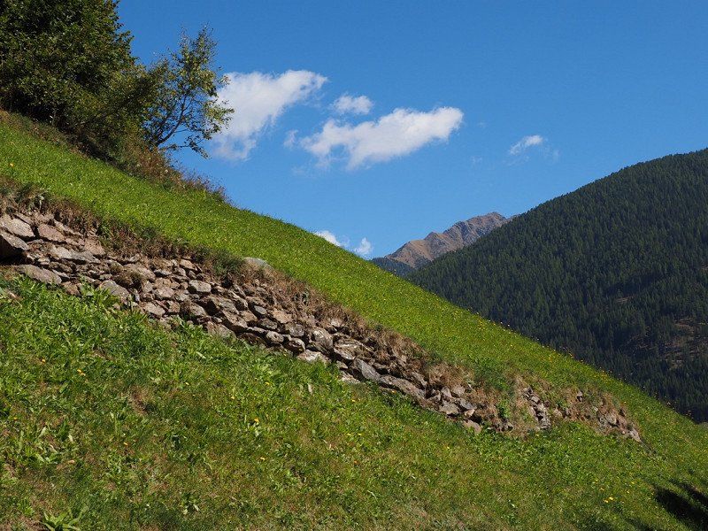
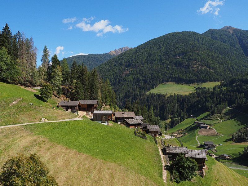
Before that, however, we made a detour to the Ulten Valley and hiked the Ultener Höfeweg there. Wonderfully original area with great views of the old courtyards. The weather was great again.
39 Localita' Centro, Tesimo, BZ 39010, 39010 Tesimo BZ, Italien
46° 33' 43.4" N 11° 10' 37.7" E
46.5620470 11.1771310
• Head toward Erlebach on Schwimmbadweg. Go for 12 m.
• Turn right onto Schwimmbad. Go for 137 m.
• Continue toward Via Unterer Wiesenweg. Go for 180 m.
• Turn right onto Via Unterer Wiesenweg. Go for 284 m.
• Turn slightly right onto Prissiano. Go for 127 m.
• Turn left onto Prissiano. Go for 198 m.
• Turn left onto Via Prissiano (SP10). Go for 4.8 km.
• Take the 2nd exit from roundabout onto Via Vilpiano (SP10) toward Vilpian/Vilpiano/Bozen/Bolzano/Meran/Merano. Go for 473 m.
• Turn right and take ramp onto MeBo (SS38) toward A22/Autobahn/Autostrada/Bozen/Bolzano. Go for 12.2 km.
• Take left ramp onto A22 (Autostrada del Brennero) toward Autostrada/Bolzano Centro/Bozen Zentrum/E45/Brennero/Brenner/Modena. Go for 86.9 km.
• Continue on A13 (Brennerpass). Go for 31.7 km.
• Keep right onto A13 (Knoten Innsbruck-Berg Isel) toward Bregenz/Garmisch/Innsbruck-West. Go for 2.0 km.
• Continue on A12 (Inntal Autobahn). Go for 35.0 km.
• Take exit 113 toward Mötz/Reutte/Fernpass. Go for 319 m.
• Turn right onto Mötzer Landesstraße (L236). Go for 4.8 km.
• Take the 2nd exit from roundabout onto Mieminger Bundesstraße (B189) toward Reutte/Fernpaß/Nassereith. Go for 13.4 km.
• Keep left onto Mieminger Bundesstraße (B189) toward Reutte/Garmisch. Go for 91 m.
• Continue on Fernpass Bundesstraße (B179). Go for 49.1 km.
• Continue on Grenztunnel Füssen (A7). Go for 1.7 km.
• Take exit 139 toward Füssen/Kaufbeuren/Pfronten/Rieden am Forggensee. Go for 262 m.
• Turn left onto B310 toward Kaufbeuren/Rieden am Forggensee. Go for 3.6 km.
• Turn right onto Augsburger Straße (B16) toward Schwangau/Krankenhaus Füssen/Hopfen am See/Königsschlösser. Go for 290 m.
• Take the 1st exit from roundabout onto Hopfener Straße (St2008) toward Seeg/Hopfen/Fachklinik/Enzensberg. Go for 3.2 km.
• Turn left. Go for 27 m.
• Turn slightly right. Go for 406 m.
• Arrive at your destination on the right.
☍
251,2 km
(3 hrs. 15 min.)
Day
Day
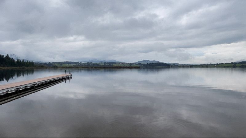
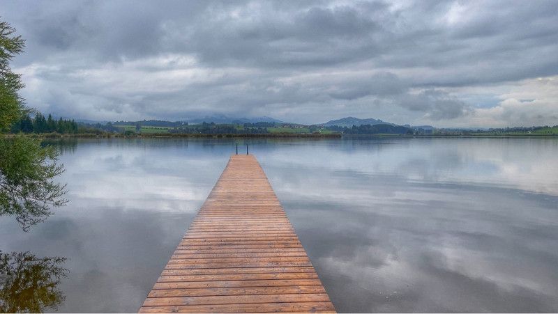
Camping Hopfensee
Very nice well-kept campsite. Recommended.
Fischerbichl 17, 87629, Füssen - Hopfen am See, Deutschland
47° 35' 57.8" N 10° 40' 59.4" E
47.5994000 10.6831800
• Head south. Go for 391 m.
• Continue on Bichlweg. Go for 254 m.
• Turn right onto Fischerbichl. Go for 32 m.
• Turn right onto St2008. Go for 2.8 km.
• Take the 2nd exit from roundabout onto Augsburger Straße (B16) toward A7/Ulm/Innsbruck/Kaufbeuren/Kempten/B310. Go for 348 m.
• Turn left onto B310 toward Ulm/A7/Innsbruck/Kempten/Pfronten/Weißensee/Gewerbegebiet Füssen-West. Go for 3.5 km.
• Take ramp onto A7. Go for 124 km.
• Take exit 120 toward Stuttgart/Ulm onto A8. Go for 101 km.
• Continue on A8 toward Karlsruhe/Basel/Leonberg-West. Go for 53.8 km.
• Take the exit toward Frankfurt a.M./Mannheim/Karlsruhe/Landau (Pfalz) onto A5 (Autobahndreieck Karlsruhe). Go for 105 km.
• Continue on E35 (Darmstädter Kreuz) toward Köln/Wiesbaden/Mainz/A67. Go for 952 m.
• Continue on A67. Go for 22.2 km.
• Take the left exit toward Köln/Wiesbaden onto A3. Go for 160 km.
• Take exit 29 toward Köln-Porz/Köln-Rath/Köln-Heumar/Rösrath/K.-Rath/Heumar. Go for 270 m.
• Turn left onto Bensberger Straße (L489) toward Rösrath/K.-Rath/Heumar. Go for 197 m.
• Turn left onto Rösrather Straße (L284) toward Berg. Gladbach-Bensberg/Köln-Rath/Köln-Heumar. Go for 768 m.
• Turn right onto Rather Mauspfad (L73) toward Bergisch Gladbach/Köln-Brück. Go for 1.1 km.
• Turn right onto Lützerathstraße (L358) toward Bergisch Gladbach/A4. Go for 3.2 km.
• Take ramp onto A4 toward Olpe. Go for 3.4 km.
• Take exit 20 toward Berg. Gladbach-Bensberg/Berg. Gladbach-Moitzfeld/Kürten. Go for 591 m.
• Continue on Friedrich-Ebert-Straße (L195) toward Wipperfürth/Kürten/Herkenrath/Moitzfeld. Go for 1.6 km.
• Continue on Moitzfeld (L289). Go for 2.4 km.
• Turn left onto Ball (L329). Go for 93 m.
• Turn right onto Johanniterstraße. Go for 61 m.
• Turn right onto Johanniterstraße. Go for 125 m.
• Arrive at Johanniterstraße. Your destination is on the left.
☍
588,1 km
(5 hrs. 18 min.)
Herkenrath, Bergisch Gladbach, Deutschland
Herkenrath, 51429 Bergisch Gladbach, Deutschland
50° 59' 17.9" N 7° 11' 33.8" E
50.9883084 7.1927262