The time is corona and travel options are limited. So we decided to spend a week hiking and cycling in the French-speaking part of the country. The campsites have been open again for a few days and we're torn into the distance.
Day
Zürich, Schweiz
Püntstrasse 12, 8047 Zürich, Schweiz
47° 22' 29.3" N 8° 29' 4.5" E
47.3747925 8.4845942
• Head northeast on Püntstrasse. Go for 83 m.
• Turn right onto Albisriederstrasse. Go for 892 m.
• Turn left onto Rautistrasse. Go for 644 m.
• Turn right onto Luggwegstrasse. Go for 774 m.
• Continue on Europabrücke. Go for 606 m.
• Turn right and take ramp onto Bernerstrasse Nord (1/3) toward Bern/Basel. Go for 393 m.
• Take left ramp onto A1H. Go for 5.7 km.
• Continue on A1 (Limmattaler Kreuz). Go for 15.7 km.
• Continue on A1 (Verzweigung Birrfeld) toward Bern/Aarau/Mägenwil. Go for 40.6 km.
• Continue on A1 (Härkingen) toward E25/Lausanne/Bern/Biel/Bienne/Oensingen. Go for 50.8 km.
• Take the exit toward Lausanne/Fribourg/Neuchâtel/Bern-Neufeld onto A1 (Wankdorf). Go for 5.0 km.
• Take exit 34 toward Vevey/Fribourg/Bern-Bümpliz onto A12. Go for 53.0 km.
• Take exit 4 toward Bulle/Château-d'Oex/Charmey-Jaun/Gruyères/Le Moléson/Hôpital onto 190. Go for 658 m.
• Take the 2nd exit from roundabout onto 189 toward Chateau-d'Oex/Charmey-Jaun/Gruyeres/Le Moleson/Bulle/Broc. Go for 1.0 km.
• Pass 3 roundabouts and continue on 189. Go for 4.2 km.
• Take the 2nd exit from roundabout onto Route de l'Intyamon (190). Go for 829 m.
• Turn left. Go for 172 m.
• Arrive at your destination on the right.
☍
181,1 km
(1 hrs. 45 min.)
Fahrt von Zürich nach Epagny
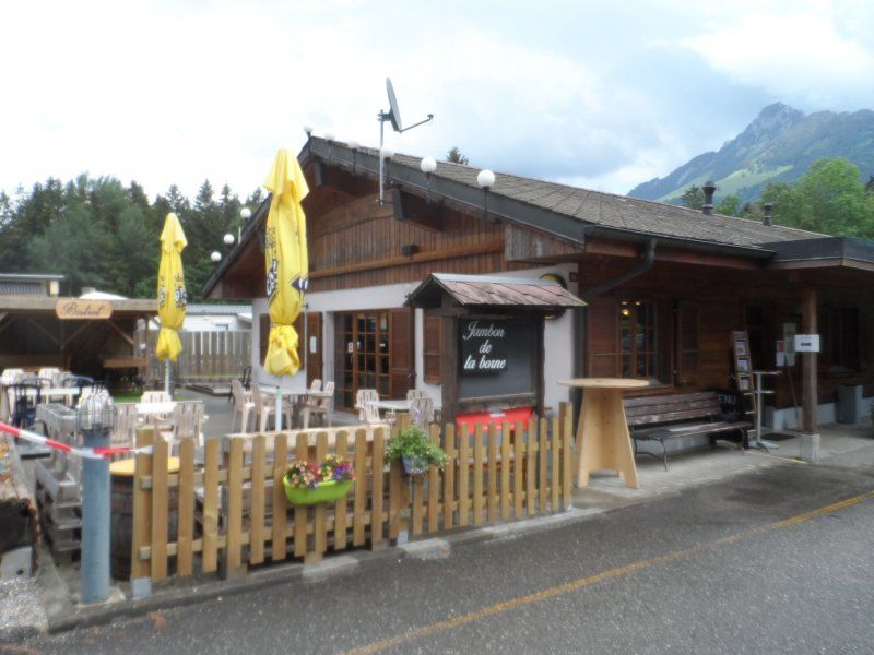
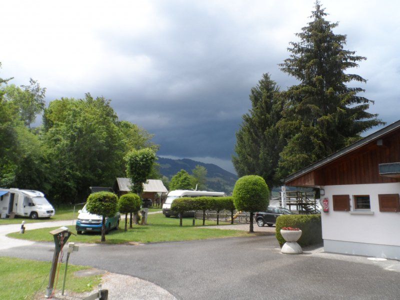
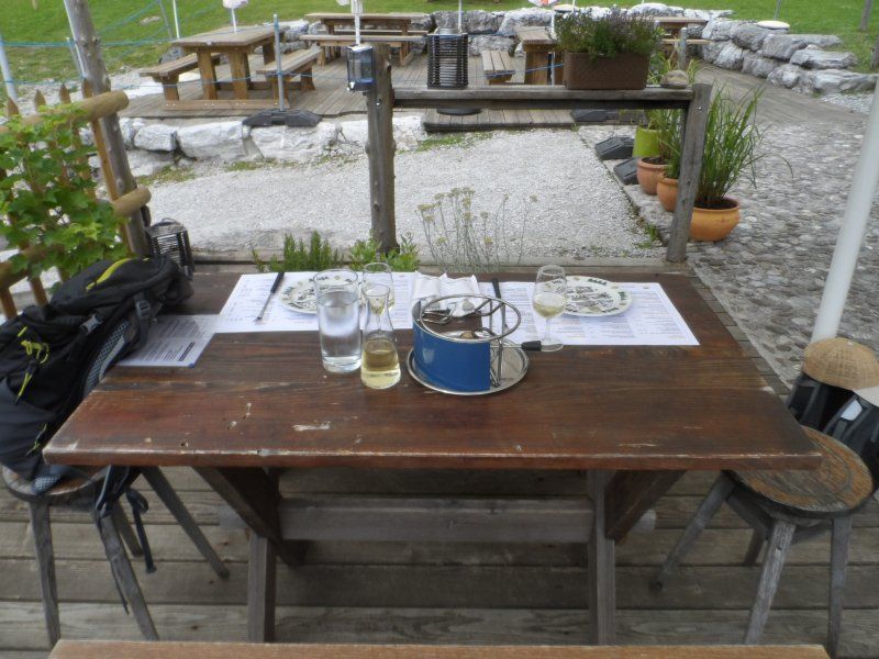
The journey takes a little over 3 hours with breaks. We reach the campsite and are greeted warmly. Since a weekend is coming up, some places have already been reserved. However, we find a nice place near the sanitary facilities. We want to spend the whole week here now.
Camping les Sapins
1663, Gruyères, Schweiz
46° 35' 43.1" N 7° 4' 50.9" E
46.5953000 7.0808000
• Head northeast.
• Arrive at your destination on the right.
☍
Distance not available
(Duration not available)
Day
Erledigung von Einkäufen
We do the most urgent shopping in the nearby shopping center, since the campsite does not have a shop. You can reach the center in just a few minutes by bike.
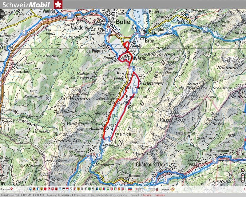
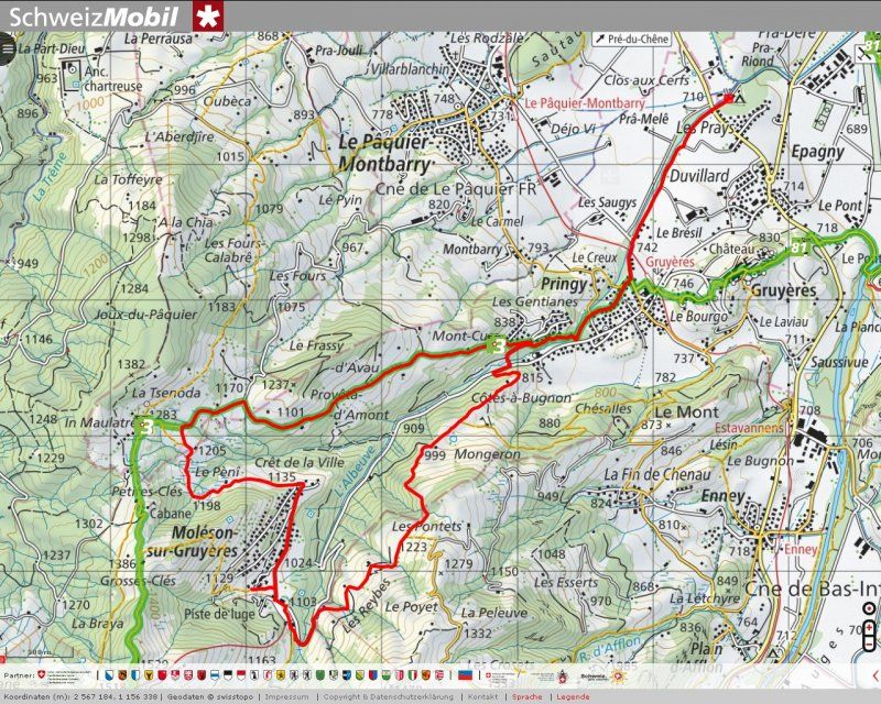
Radtour durch das Greyerzerland
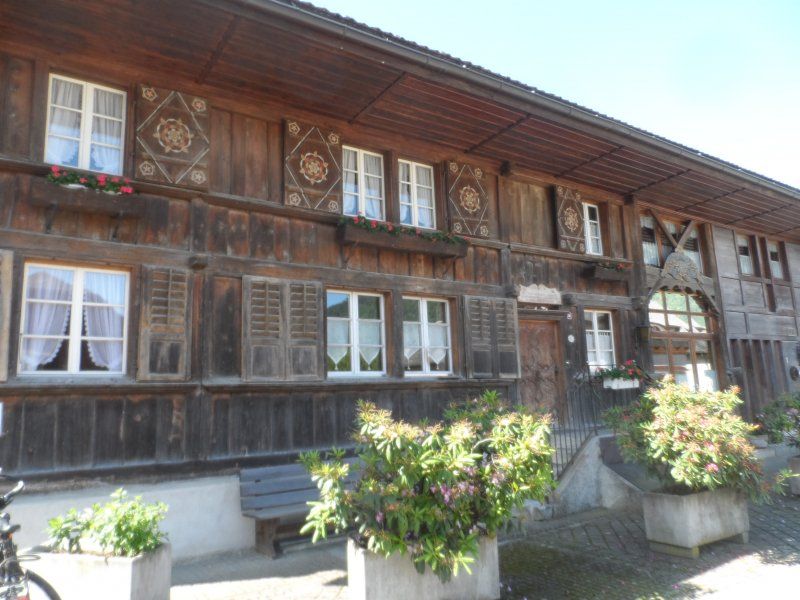
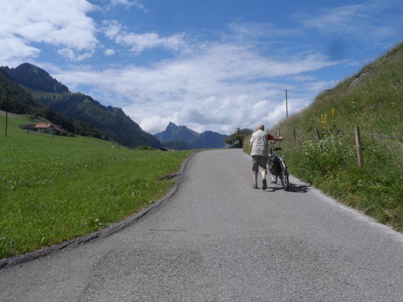
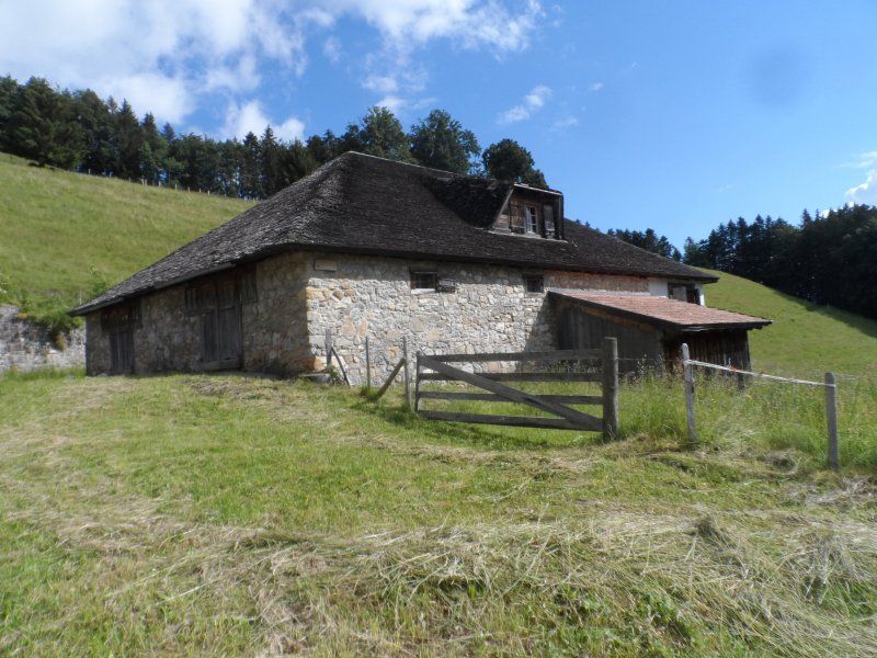
We first cycle to Epagny, then on via Gruyère station and further up the valley via Estavannes to Grandvillars. This village was characterized by very old farmhouses .... and a beautiful garden restaurant. From there it goes further south. It goes up again and again and then goes down again immediately afterwards. In Lessoc we switch to the other side of the valley and mostly drive on the main road, from Grandvillars station on a valley road back to the campsite, where we arrive at lunchtime. A meal in the camping restaurant concludes the beautiful excursion.
Day
Ausflug zu Fuss nach Gruyère
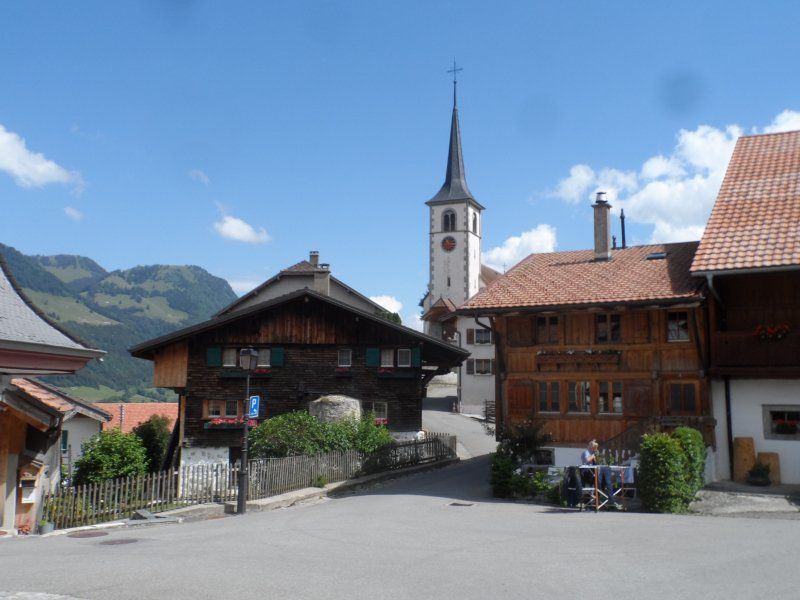
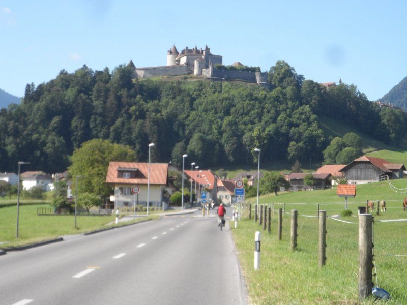
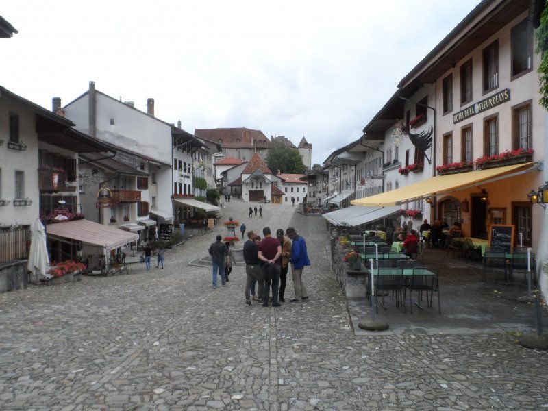
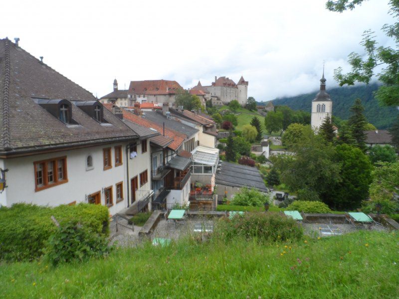
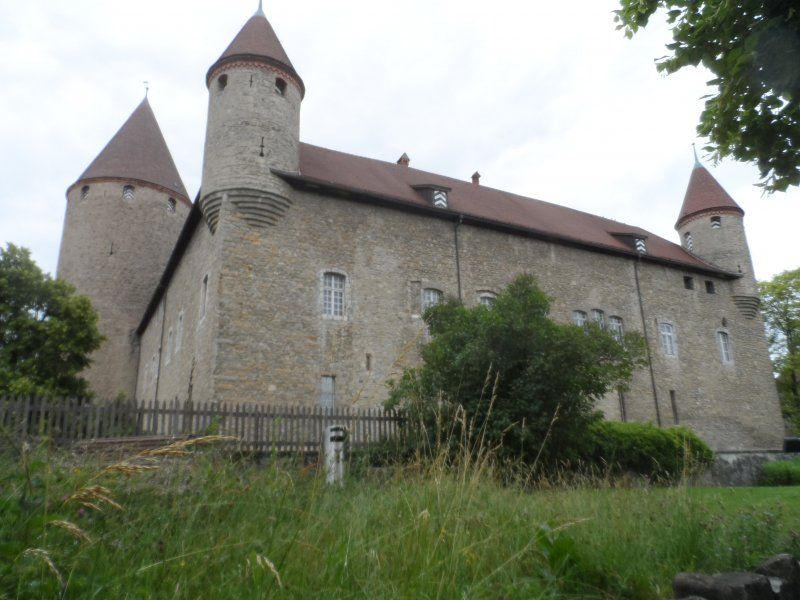
Gruyère is a medieval city. It was built on a mountain spur and is an attraction for many tourists. So it consists almost entirely of souvenir shops and restaurants. There are still museums in the castle. Since the weather is not so nice, we stroll up from the campsite via hiking trails to the town, but then quickly evade tourism, which despite Corona or precisely because of it runs properly.
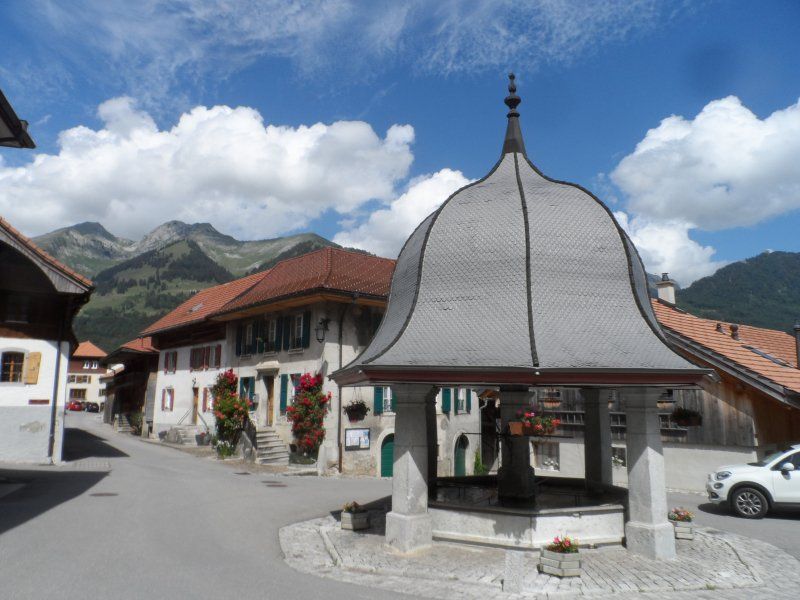
Veloausflug nach Bulle
In the afternoon we dared to cycle to Bulle. The route always leads slightly uphill from the campsite through La-Tour-de-Trême to the center of Bulle.
Here we visit the old town with the help of a city map, on which the sights in the form of a sightseeing tour with numbered places.
After completing the tour, we let ourselves be glided to the camping almost without any drive.
Day
Dem Lac de Gruyère entlang
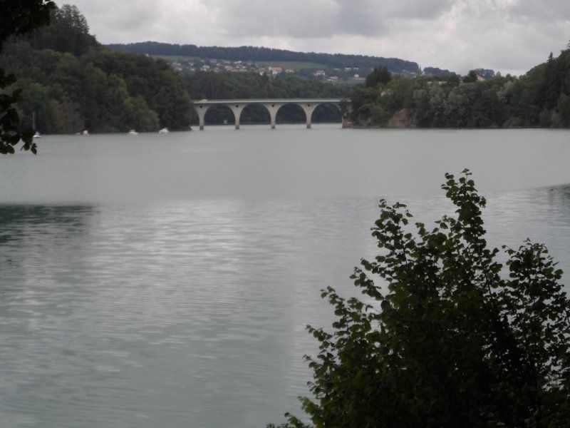
We ride our bikes up to the Broc train station, where we can park them protected from the weather. The sky is gone and you can expect rain showers. We walk along the east bank, once under the umbrella, then again in the sun and again under the umbrella. We reach Corbières around noon and look for a restaurant. But far from it! No catering option. Fortunately, a bus arrives and takes us to Bulle, where we get a good meal. The train takes you back to Broc and the bikes down to the campsite.
Day
Zu Fuss unterwegs
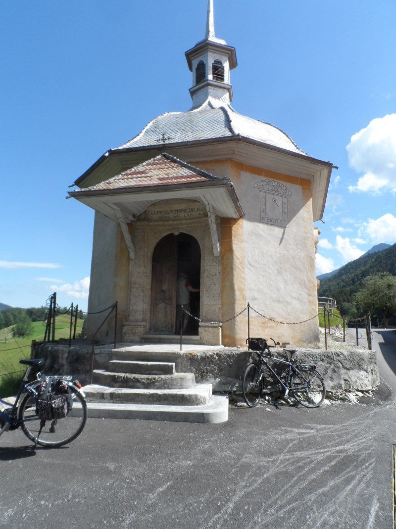
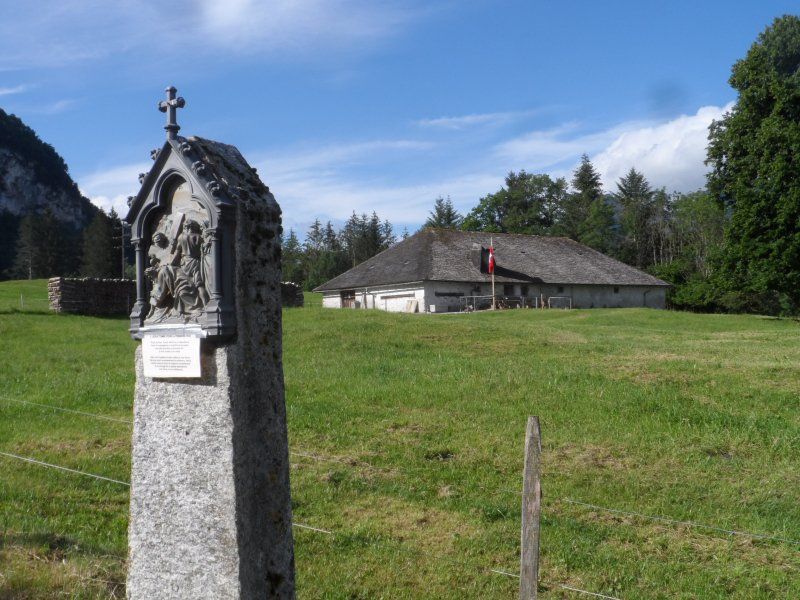
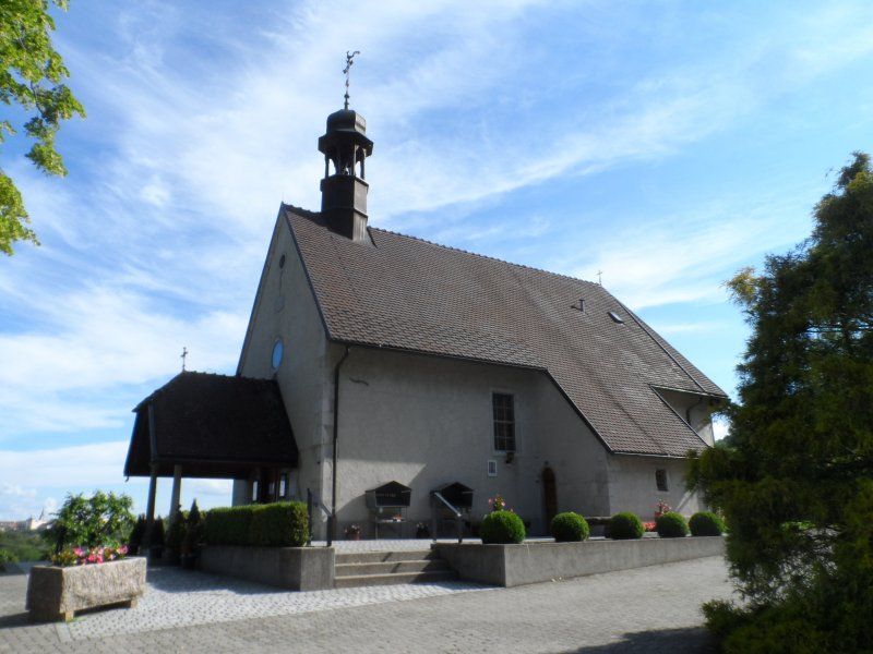
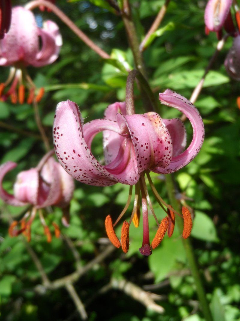
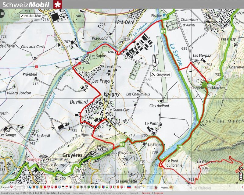
The sun is shining today, at least in the morning. We walk to the Sarine River and from there south to the Chapelle des Marches. On the way we find Turkish lilies. We continue to the covered wooden bridge over the Sarine "Le Pont qui Branle" and from there via Epagny back to camping and lunch.
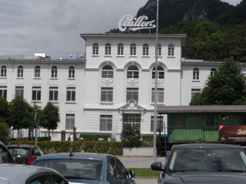
Besuch der Schokoladenfabrik Cailler in Broc
We ride the bikes to the Cailler chocolate factory in Broc. We are happy to pay the admission price of CHF 15.- per person in the hope of tastings.
After an animated tour of different rooms, you come to a room with documentation about the origin and processing of the cocoa fruit for the finished chocolate and then to a tasting room where you learn to taste chocolate. Taste, breakage, surface must be assessed before you get permission to put the coveted piece "Branchli" in your mouth. But be careful! Do not bite! Already too late. So new piece (smile ...). Yes, and then we can taste chocolates until you can no longer look at them. The end of the deal, like in any such system, is the store with discounted products.
With the bike it goes via a detour via the shopping center back to the camping. Dinner is no longer necessary.
Day
Rundfahrt per Bahn über Montreux und Châtel-St. Denis
The weather is not stable again. We take the train from Bulle via Montbovon to Montreux and after lunch via Lausanne to Palézieux. From there it goes back to Bulle on the narrow-gauge railway. Since our bus has just left, we decide to drive a part with a waiting train and cover the rest on foot.
Day
Bergwanderung nach Moléson
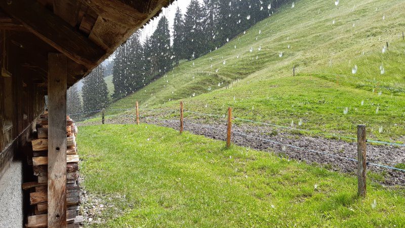
When the weather is fine, our path leads uphill from the campsite on the northern slope to Moléson and back after lunch on the southern slope. We'll have a fondue moitié moitié and a great dessert in the Fromagerie. On the descent we are surprised by a heavy thunderstorm. Fortunately, we are near an alpine hut where shelter is possible.
Day
Camping les Sapins
1663, Gruyères, Schweiz
46° 35' 43.1" N 7° 4' 50.9" E
46.5953000 7.0808000
• Head southwest. Go for 172 m.
• Turn right onto Route de l'Intyamon (190). Go for 796 m.
• Take the 1st exit from roundabout onto Route de Pra-Riond (189). Go for 1.4 km.
• Pass 4 roundabouts and continue on Kappelboden (189). Go for 24.7 km.
• Arrive at Jaunpass (505). Your destination is on the right.
☍
27,1 km
( 28 min.)
Jaunpass, Boltigen, Schweiz
Jaunpass, 3766 Boltigen, Schweiz
46° 35' 31.2" N 7° 20' 23.2" E
46.5920022 7.3397882
• Head toward Unteres Chilmoos on Jaunpass (505). Go for 8.2 km.
• Turn left onto Bifang (11). Go for 21.7 km.
• Keep left onto A6W. Go for 3.6 km.
• Take the left exit toward Bern/Thun-Süd onto A6. Go for 42.9 km.
• Continue on A1. Go for 53.8 km.
• Continue on A1 (Verzweigung Wiggertal) toward Zürich/Aarau/Oftringen/Zofingen. Go for 48.0 km.
• Continue on A1H toward Zürich-City. Go for 4.5 km.
• Take exit 2 toward Zürich-Altstetten/Höngg onto 1/3 (Bernerstrasse Süd). Go for 638 m.
• Keep right onto Bernerstrasse Süd toward Zürich-City/Altstetten/Höngg. Go for 885 m.
• Turn right onto Aargauerstrasse toward Altstetten/Vulkanstrasse. Go for 288 m.
• Turn right onto Max-Högger-Strasse. Go for 348 m.
• Turn right onto Europabrücke. Go for 500 m.
• Continue on Luggwegstrasse. Go for 774 m.
• Turn right onto Rautistrasse. Go for 322 m.
• Turn left onto Altstetterstrasse. Go for 907 m.
• Turn slightly left onto Albisriederstrasse. Go for 65 m.
• Turn right onto Püntstrasse. Go for 40 m.
• Arrive at Püntstrasse. Your destination is on the left.
☍
187,5 km
(2 hrs. 9 min.)
Zürich, Schweiz
Püntstrasse 9, 8047 Zürich, Schweiz
47° 22' 30" N 8° 29' 6.6" E
47.3749940 8.4851665