Source cover picture: Wikipedia Planned as a late summer tour, the weather sometimes thwarted our plans; Nevertheless, our trip to the "far north" was worth it. We will always remember the friendly colleague in the harbor master Schleswig, the Viking Museum in Haithabu and the detour to the Mecklenburg state capital on the return journey.
Day
Abfahrt Zuhause (13.09.2021)
Schmerzker Ring 128, 14776 Brandenburg an der Havel, Deutschland
52° 23' 11.9" N 12° 35' 25.1" E
52.3866362 12.5903062
• Head west on Schmerzker Ring. Go for 56 m.
• Turn right onto Schmerzker Ring. Go for 244 m.
• Turn slightly left onto Schmerzker Ring. Go for 90 m.
• Turn right onto Altes Dorf. Go for 180 m.
• Turn slightly right onto Altes Dorf. Go for 109 m.
• Turn right onto Belziger Chaussee. Go for 822 m.
• Turn left toward B102. Go for 40 m.
• Turn right onto B102. Go for 3.5 km.
• Take ramp onto A2 toward Berlin. Go for 14.7 km.
• Take exit 81 toward Prenzlau/Hamburg/Stettin onto A10 (Berliner Ring). Go for 47.5 km.
• Take exit 29 toward Hamburg/Rostock onto A24. Go for 63.4 km.
• Take the exit toward Hamburg/Schwerin onto A24. Go for 105 km.
• Take exit 10 toward Wittenburg/Hagenow-Kietz. Go for 378 m.
• Take the 1st exit from roundabout onto L04. Go for 2.1 km.
• Continue on L04. Go for 1.4 km.
• Take the 2nd exit from roundabout onto L04 toward Zarrentin. Go for 7.1 km.
• Turn right onto K8. Go for 631 m.
• Continue on Hauptstraße (K8). Go for 35 m.
• Continue on Bantiner Hauptstraße. Go for 42 m.
• Continue on Hauptstraße (K8). Go for 5 m.
• Continue on Bantiner Hauptstraße. Go for 32 m.
• Turn right onto Zum Bahnhof. Go for 147 m.
• Arrive at Zum Bahnhof. Your destination is on the right.
☍
247,8 km
(2 hrs. 18 min.)
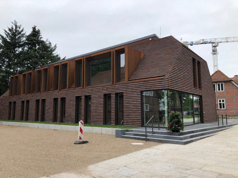
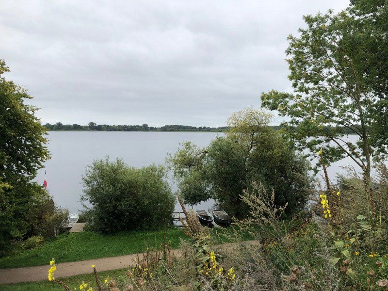
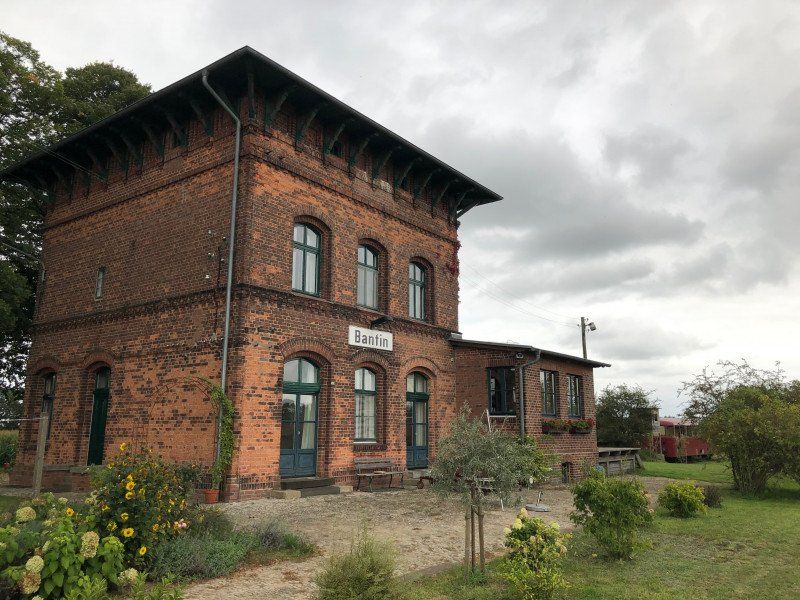
ehem. Bahnhaltepunkt Bantin (13.09. - 14.09.2021)
Stopover for "Landvergnügen" at a former train station in the "Schaalsee" biosphere reserve (Unesco natural heritage)
Zum bhf 3, 19246 Zarrentin am Schaalsee, Deutschland
53° 32' 7.7" N 10° 58' 14.1" E
53.5354639 10.9705871
• Head toward Bantiner Hauptstraße on Zum Bahnhof. Go for 147 m.
• Turn left onto Bantiner Hauptstraße. Go for 32 m.
• Continue on Hauptstraße (K8). Go for 5 m.
• Continue on Bantiner Hauptstraße. Go for 42 m.
• Continue on Hauptstraße (K8). Go for 35 m.
• Continue on K8. Go for 631 m.
• Turn right onto L04. Go for 2.7 km.
• Turn left onto K7. Go for 2.8 km.
• Turn left onto B195. Go for 2.3 km.
• Turn left and take ramp onto A24 toward Hamburg. Go for 33.4 km.
• Take exit 6 toward Lübeck/A1/Kiel/Grande. Go for 457 m.
• Continue on B404. Go for 18.8 km.
• Keep left onto A21 toward Kiel/Tremsbüttel. Go for 31.5 km.
• Take exit 11 toward Flensburg/A7/Neumünster/Wahlstedt onto B205. Go for 19.4 km.
• Take ramp toward Boostedt. Go for 280 m.
• Turn right onto Boostedter Straße (K18) toward Bad Bramstedt/Boostedt. Go for 3.1 km.
• Turn left onto Holsatenring (L323). Go for 3.1 km.
• Turn left. Go for 10 m.
• Turn slightly right. Go for 81 m.
• Turn left. Go for 29 m.
• Arrive at your destination on the left.
☍
118,9 km
(1 hrs. 22 min.)
Day
Stellplatz Neumünster (14.09. - 15.09.2021)
Stay in the fourth largest city Schleswig-Holstein. The parking space is located at the indoor swimming pool of the Stadtwerke, which is also the operator of the parking space.
Hansaring 177, 24534 Neumünster, Deutschland
54° 4' 53.3" N 9° 57' 36.6" E
54.0814765 9.9601569
• Head north. Go for 13 m.
• Turn right. Go for 30 m.
• Turn right toward Hansaring/B430. Go for 106 m.
• Turn left onto Hansaring (B430). Go for 1.5 km.
• Turn left onto Rendsburger Straße (L328). Go for 4.0 km.
• Take ramp onto A7 toward Flensburg/Kiel. Go for 50.8 km.
• Take exit 6 toward Schleswig/Jagel/Schloss Gottorf/B77. Go for 354 m.
• Turn right toward B77/Rendsburg/Jagel. Go for 390 m.
• Take ramp onto B77. Go for 1.3 km.
• Take the 2nd exit from roundabout onto B77 toward Flensburg/Schleswig/Schloss Gottorf. Go for 1.5 km.
• Continue on B76. Go for 1.1 km.
• Take ramp onto Gottorfer Damm (K1) toward Schleswig-Zentrum/Schloss Gottorf. Go for 794 m.
• Continue on Schleistraße (K63). Go for 1.4 km.
• Turn right onto Plessenstraße. Go for 329 m.
• Turn right. Go for 22 m.
• Turn left. Go for 56 m.
• Arrive at your destination on the left.
☍
63,7 km
( 47 min.)
Day
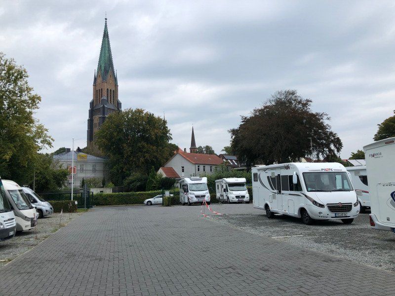
Wohnmobilstellplatz am Stadthafen Schleswig (15.09. - 17.09.2021)
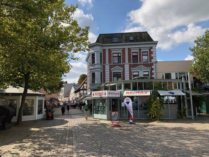
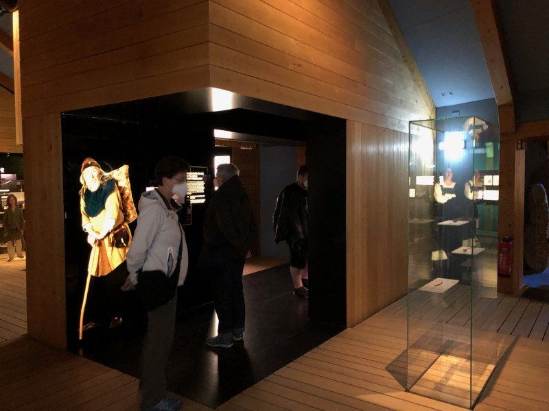
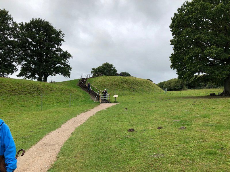
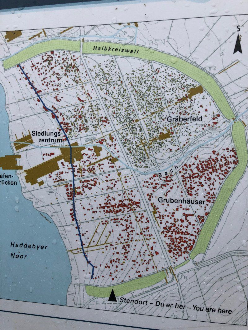
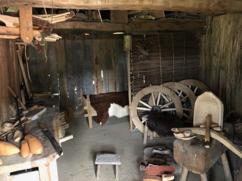
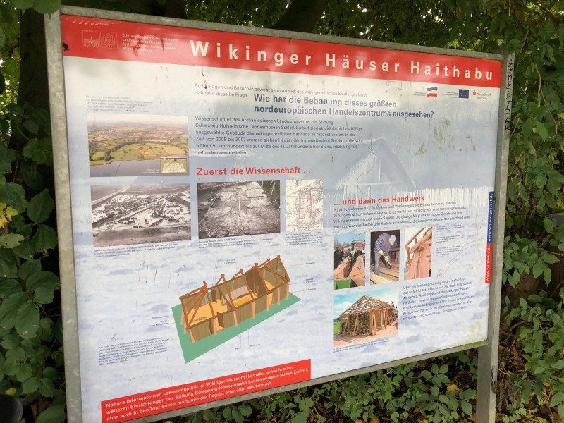
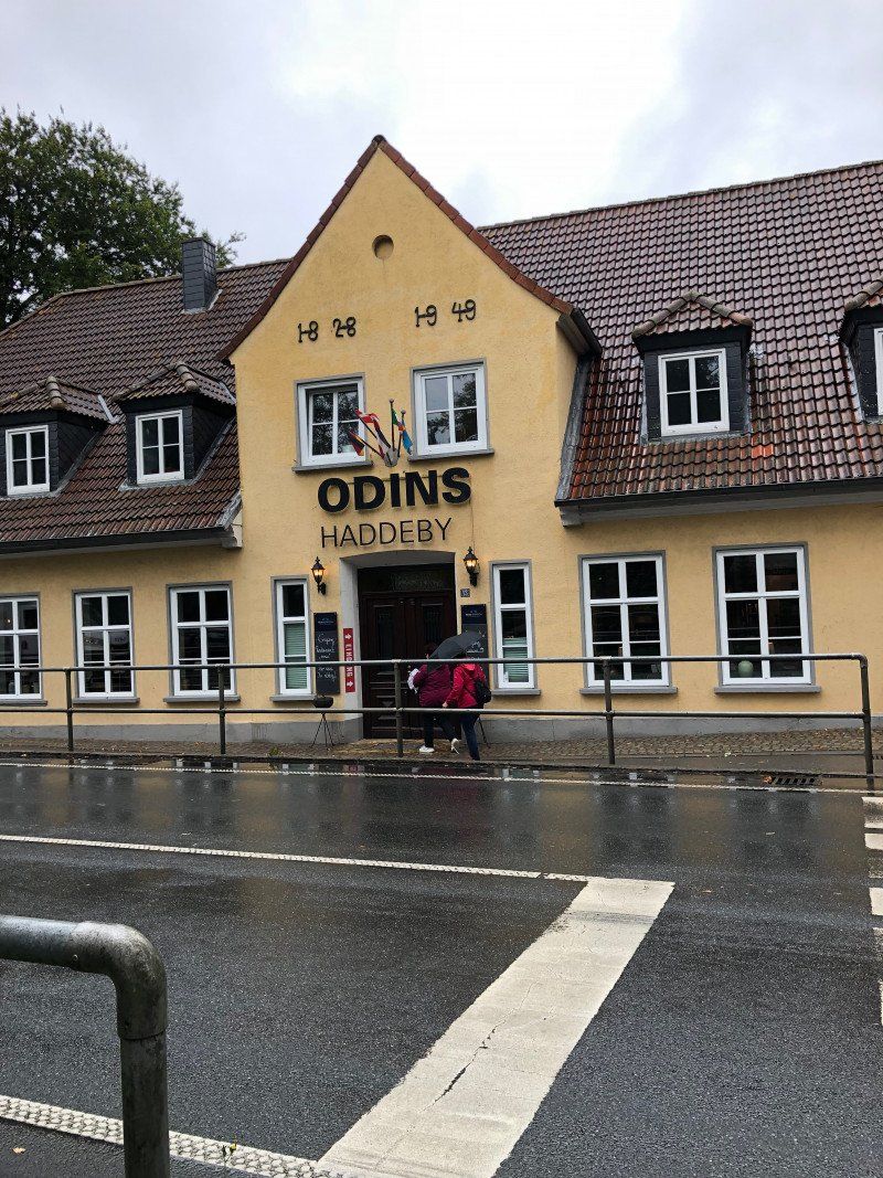
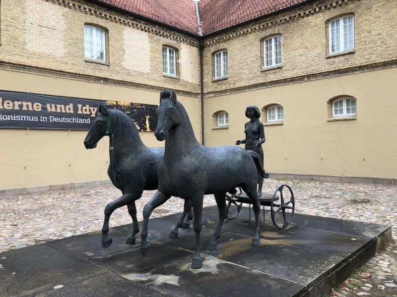
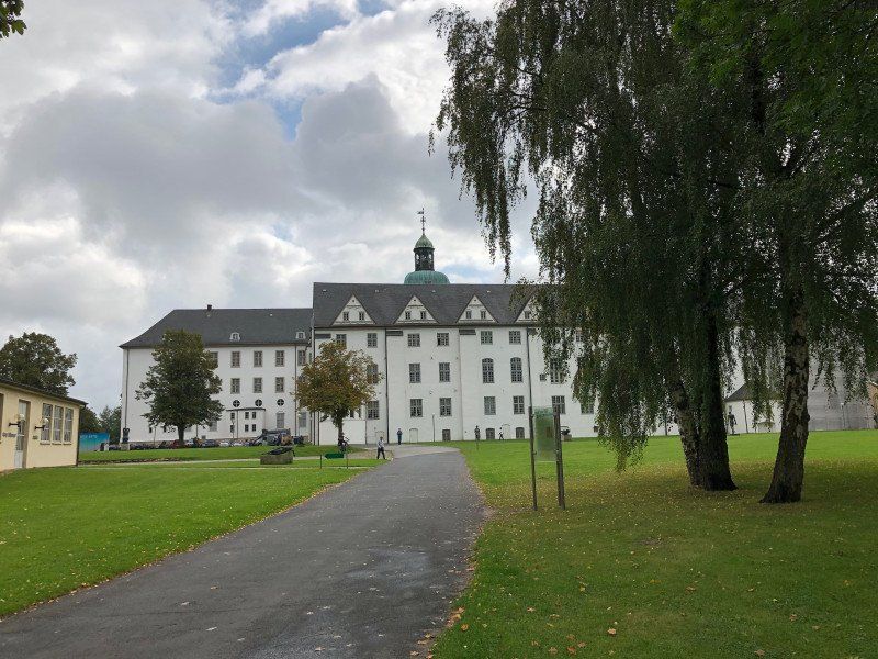
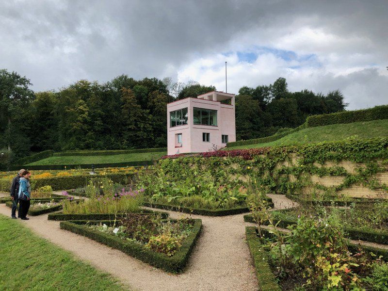
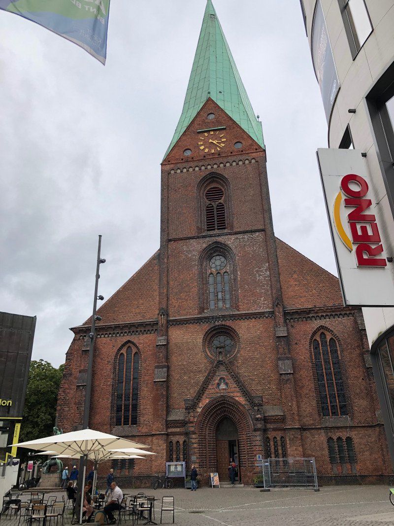
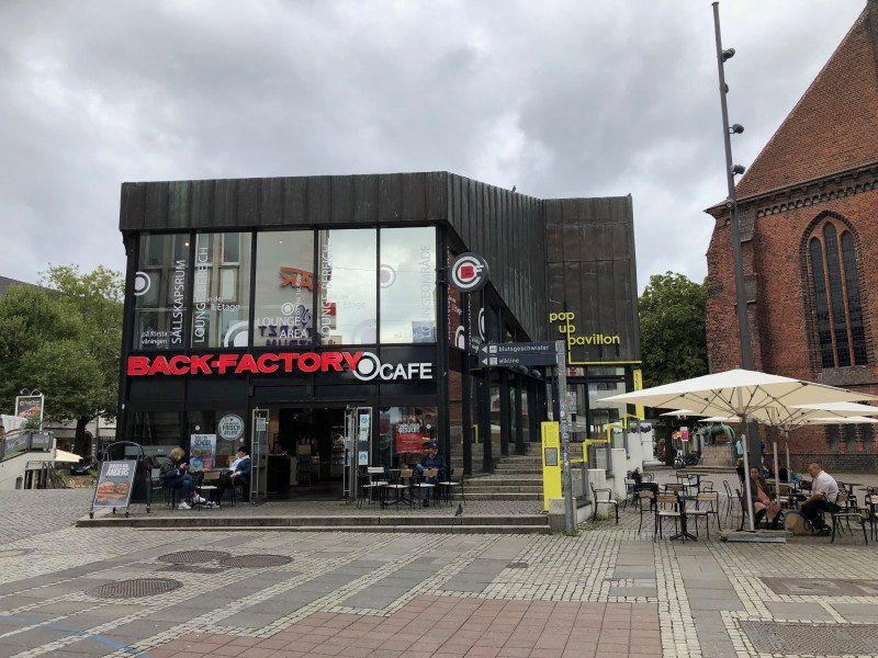
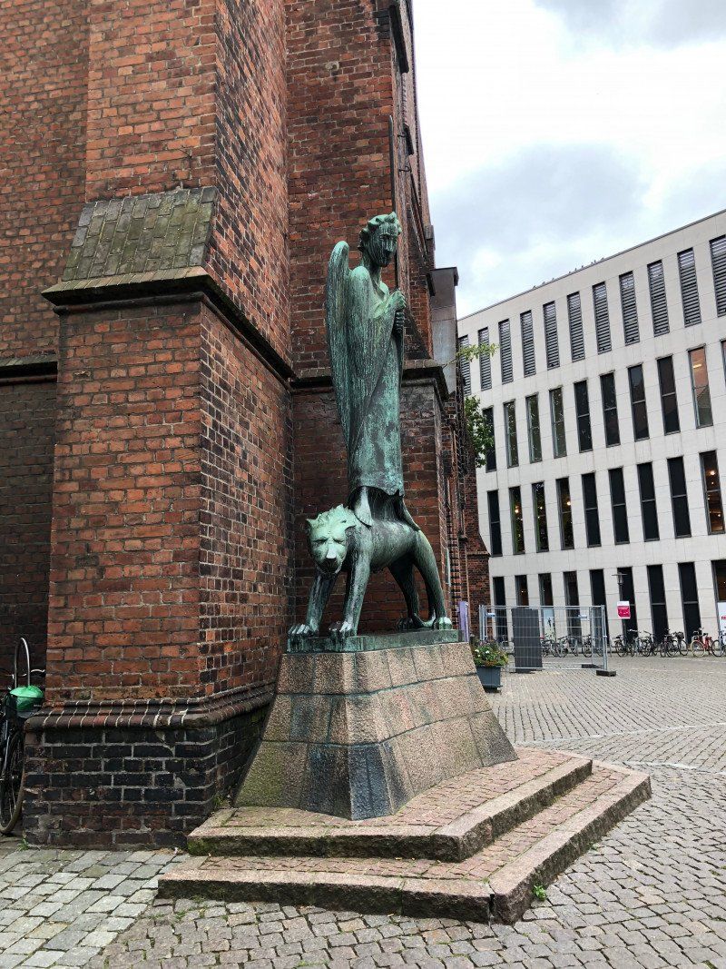
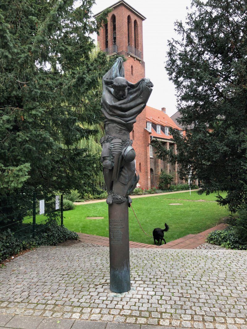
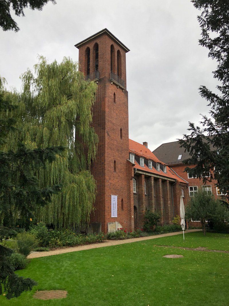
Very nice, but (at least this year) permanently occupied parking space right on the Schlei, at the Schleswig city port. Since no reservation is possible, the parking space is full by 11.30 a.m. at the latest. Schleswig is a pearl that is wrongly often underestimated. Special highlights: City center with Holm (approx. 5 minutes' walk from the parking space), Viking open-air museum Haithabu in Busdorf and Gottort Castle with the famous Gottorf globe.
Am Hafen 5, 24837, Schleswig, Germany
54° 30' 42" N 9° 34' 7" E
54.5116667 9.5686111
• Head northeast. Go for 56 m.
• Turn right toward Plessenstraße. Go for 22 m.
• Turn left onto Plessenstraße. Go for 329 m.
• Turn left onto Königstraße (K63). Go for 1.4 km.
• Continue on Gottorfer Damm (K1). Go for 491 m.
• Take ramp onto B76 toward Hamburg/A7/Itzehoe/B77/Kiel. Go for 1.8 km.
• Take ramp toward Kiel/Eckernförde. Go for 262 m.
• Take the 4th exit from roundabout onto Haddebyer Chaussee (B76) toward Kiel/Eckernförde/Flensburg. Go for 26.8 km.
• Take ramp toward Surendorf/Kiel Nebenstrecke/Flughafen Kiel. Go for 491 m.
• Continue on L285. Go for 9.3 km.
• Continue on L45 toward Kiel/Surendorf/Flughafen Kiel. Go for 4.6 km.
• Continue on B503. Go for 5.3 km.
• Take ramp toward Altenholz-Klausdorf/Gewerbegebiet Lehmkaute. Go for 303 m.
• Turn left onto Uhlenhorster Weg (L254). Go for 2.2 km.
• Continue on Koppelberg. Go for 1.4 km.
• Turn slightly left onto Palisadenweg. Go for 299 m.
• Arrive at Palisadenweg.
☍
55,1 km
( 53 min.)
Day
Day
Campingplatz Kiel-Falckenstein (17.09. - 18.09.2021)
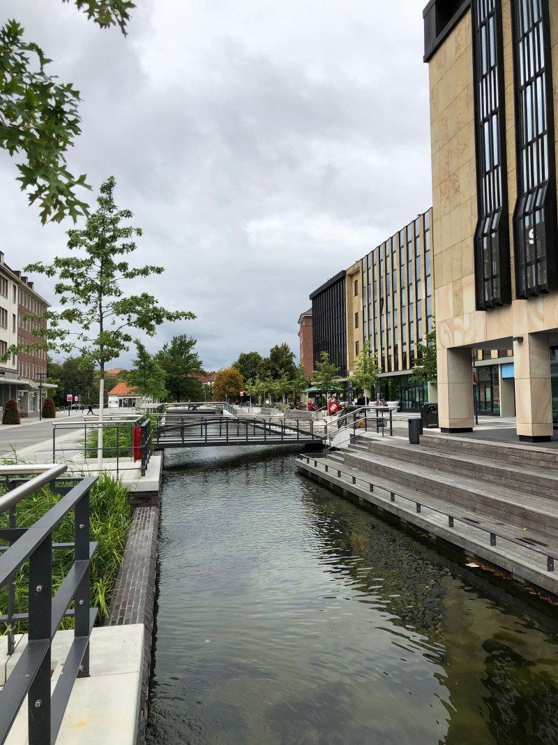
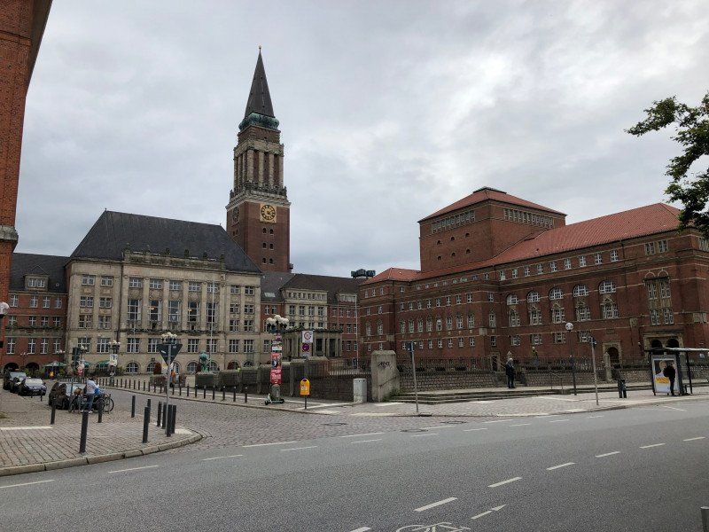
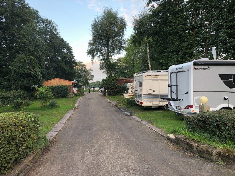
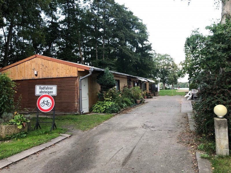
A little out of the way and aging small campsite outside the city area. The public transport connection to the city of Kiel is rather moderate (approx. 2 km walk from the campsite to the next stop. Therefore, it is strongly recommended to bring your own bike with you and, above all, to use your own bike. Unfortunately, the shuttle near the campsite only runs every 1 - 1.5 hours. The Kiel city center, the harbor, which was almost completely destroyed in World War II, is well worth seeing.
Palisadenweg 171, 24159 Kiel, Deutschland
54° 24' 34.1" N 10° 11' 7.5" E
54.4094636 10.1854154
• Head south on Palisadenweg. Go for 234 m.
• Keep right toward Palisadenweg. Go for 65 m.
• Turn slightly right onto Koppelberg. Go for 1.4 km.
• Continue on Koppelberg (K5). Go for 60 m.
• Turn left onto Fördestraße (K17). Go for 2.1 km.
• Take ramp onto B503 toward Kiel-Zentrum. Go for 6.1 km.
• Continue on Olof-Palme-Damm (B76). Go for 5.4 km.
• Keep left onto Theodor-Heuss-Ring (B76). Go for 719 m.
• Take ramp onto Neue Hamburger Straße (B404) toward Berlin/A24/A1/Lübeck/Bad Segeberg/Wellsee Gewerbegebiet. Go for 1.1 km.
• Keep left onto B404 toward A24/A1/A21/Bad Segeberg/Gewerbegebiet Wellsee. Go for 16.1 km.
• Continue on A21. Go for 28.5 km.
• Take exit 12 toward Itzehoe/Lübeck/A20/Bad Segeberg-Nord. Go for 402 m.
• Continue on Bramstedter Landstraße (B206). Go for 5.2 km.
• Continue on A20. Go for 69.6 km.
• Take exit 6 toward Grevesmühlen/Boltenhagen/Mühlen Eichsen. Go for 343 m.
• Turn right onto Grevesmühlener Straße (L03) toward Mühlen Eichsen/Upahl. Go for 9.0 km.
• Turn left onto Wismarsche Straße (B208). Go for 75 m.
• Turn right onto Schweriner Straße (L03). Go for 13.1 km.
• Turn left and take ramp onto B104/B106 toward A24/Lübeck/Gadebusch/Ludwigslust. Go for 8.2 km.
• Take ramp. Go for 159 m.
• Turn right onto Mittelstelle. Go for 381 m.
• Continue on Am Erlenbruch. Go for 40 m.
• Arrive at Am Erlenbruch.
☍
168,2 km
(1 hrs. 59 min.)
Day
Freizeitanlage Kaspelwerder (18.09. - 19.09.2021)
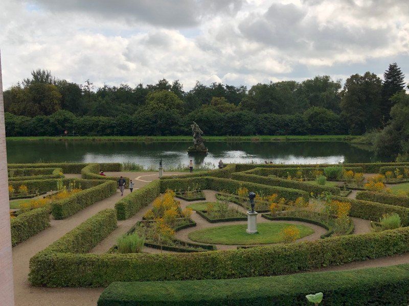
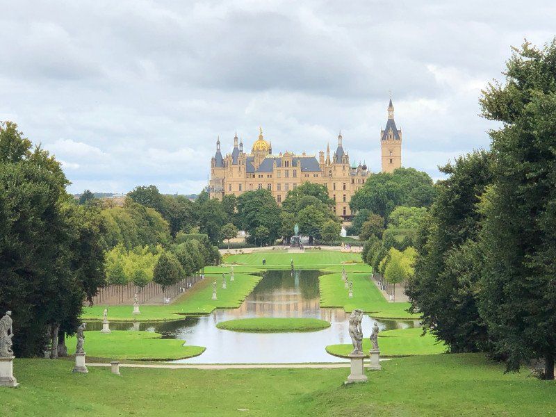
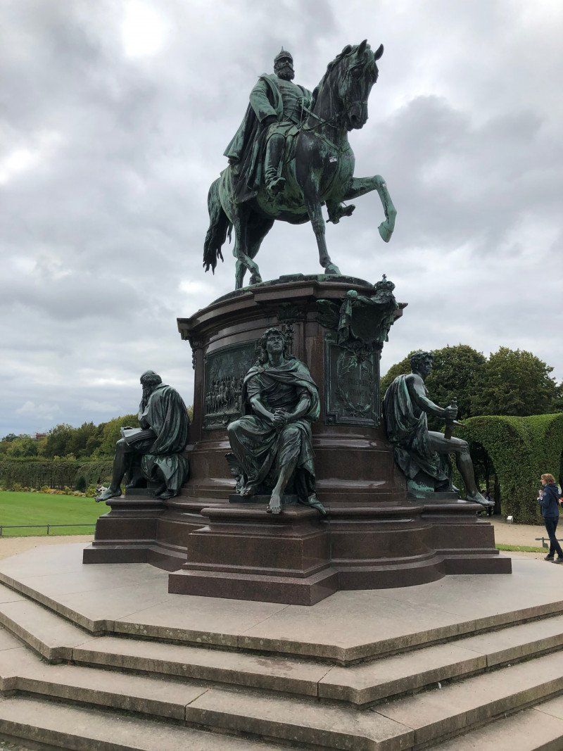
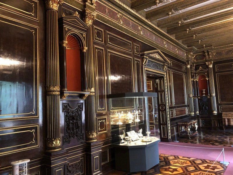
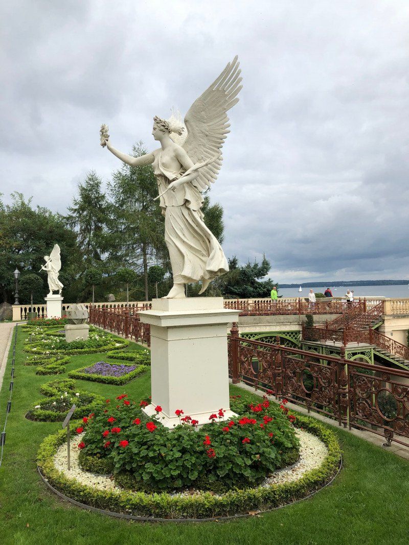
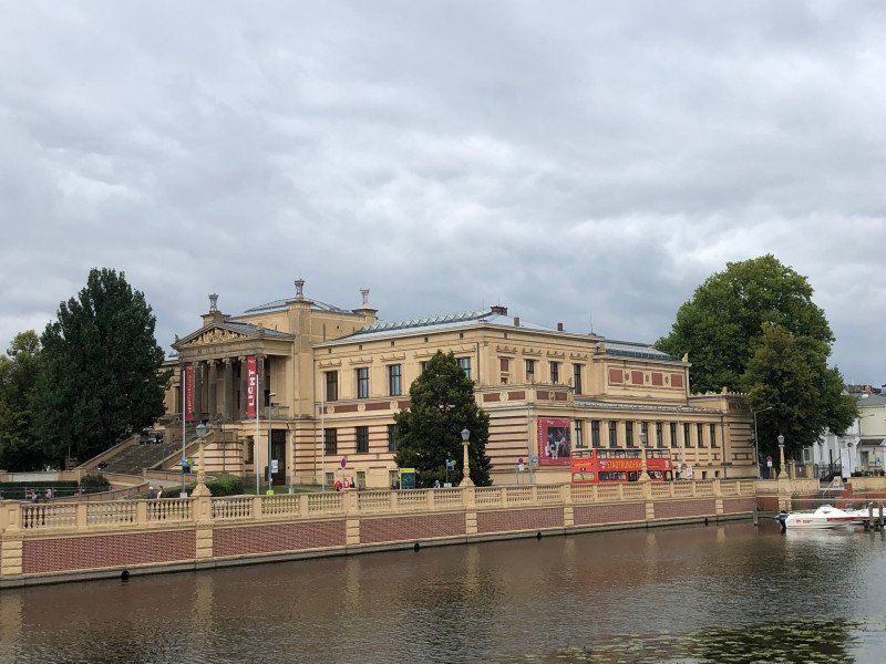
Small campsite at a swimming area with a playground on Lake Schwerin. The place needs an urgent overhaul and is actually only recommended for a short city trip to Schwerin: The sanitary facilities are rather poor with toilets and sinks but without showers. But Schwerin has it all with the castle and the cute city center!
PLZ 19061, Am Erlenbruch 20, 19061, Schwerin, Germany
53° 36' 34" N 11° 23' 17" E
53.6094444 11.3880556
• Head toward Schulzenweg on Am Erlenbruch. Go for 40 m.
• Continue on Mittelstelle. Go for 381 m.
• Turn left and take ramp onto B106. Go for 3.8 km.
• Turn right onto Ludwigsluster Chaussee (L072) toward Berlin/A24/Ludwigslust/Industriepark. Go for 19.1 km.
• Turn right and take ramp onto A24 toward Berlin. Go for 75.1 km.
• Take exit 20 toward Berlin/Potsdam onto A19. Go for 963 m.
• Continue on A24. Go for 62.6 km.
• Take exit 26 toward Leipzig/Magdeburg/Potsdam onto A10 (Autobahndreieck Havelland). Go for 47.1 km.
• Take exit 21 toward Hannover/Magdeburg onto A2 (Autobahndreieck Werder). Go for 15.3 km.
• Take exit 78 toward Brandenburg/Bad Belzig. Go for 389 m.
• Turn right onto B102 toward Brandenburg. Go for 3.5 km.
• Continue on B102N. Go for 674 m.
• Turn left onto Rietzer Straße toward Schmerzke. Go for 527 m.
• Turn slightly right onto Altes Dorf. Go for 289 m.
• Turn left onto Schmerzker Ring. Go for 114 m.
• Turn slightly left onto Schmerzker Ring. Go for 220 m.
• Turn left onto Schmerzker Ring. Go for 56 m.
• Arrive at Schmerzker Ring. Your destination is on the left.
☍
230,2 km
(2 hrs. 12 min.)
Day
Ankunft Zuhause (19.09.2021)
Schmerzker Ring 128, 14776 Brandenburg an der Havel, Deutschland
52° 23' 11.9" N 12° 35' 25.1" E
52.3866362 12.5903062