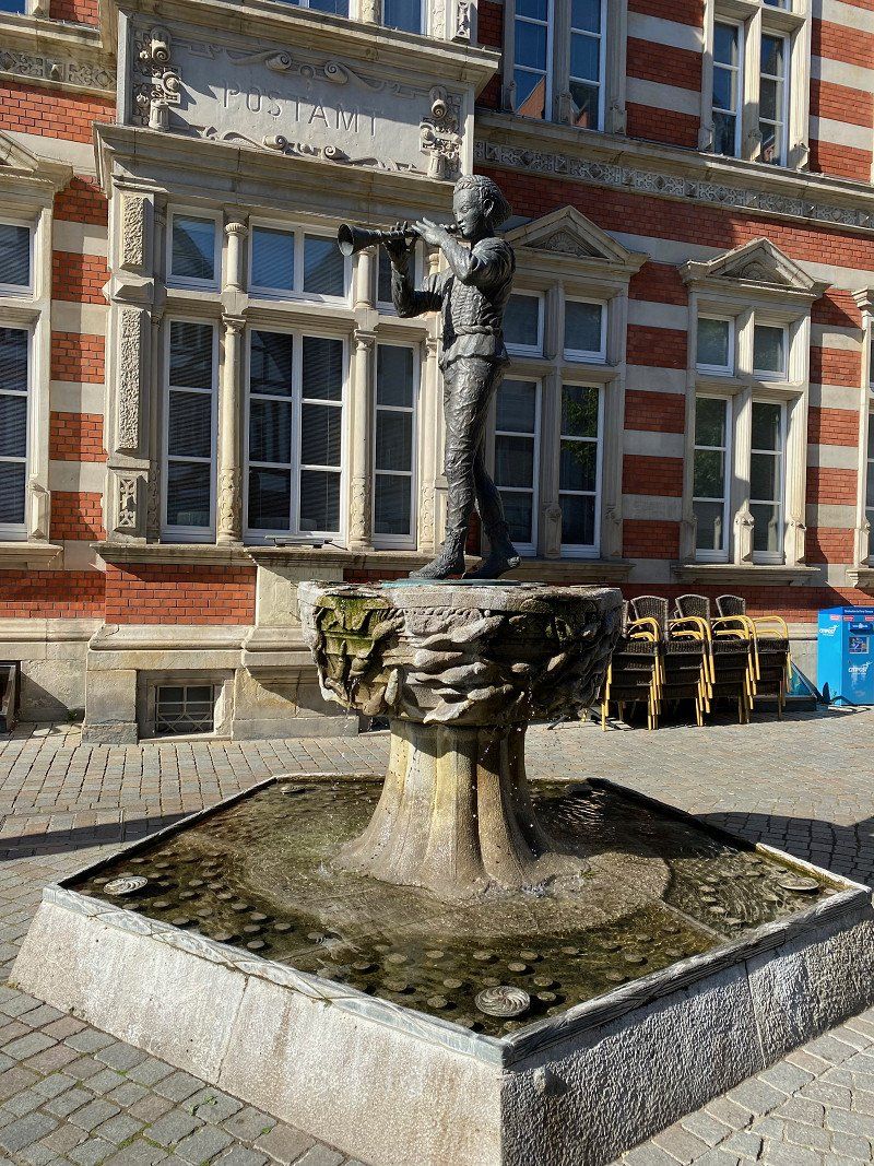
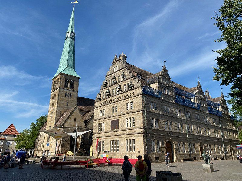
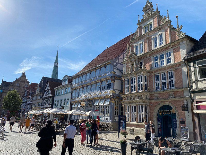
The short camper trip took us along the German Fairy Tale Route, along the Weser cycle path from the Pied Piper town of Hamelin via Nienburg (with a stopover in Porta Westfalica) to Bremen.
Day
Abfahrt von Zuhause (15.06.2022)
Schmerzker Ring 128, 14776 Brandenburg an der Havel, Deutschland
52° 23' 11.2" N 12° 35' 23.6" E
52.3864447 12.5898794
• Head west on Schmerzker Ring. Go for 28 m.
• Turn right onto Schmerzker Ring. Go for 244 m.
• Turn slightly left onto Schmerzker Ring. Go for 90 m.
• Turn right onto Altes Dorf. Go for 180 m.
• Turn slightly right onto Altes Dorf. Go for 109 m.
• Turn right onto Belziger Chaussee. Go for 822 m.
• Turn left toward B102. Go for 40 m.
• Turn right onto B102. Go for 3.3 km.
• Turn left and take ramp onto A2 toward Hannover. Go for 254 km.
• Take exit 36 toward Rehren/Hess. Oldendorf. Go for 428 m.
• Turn left onto Rehrener Straße (L443) toward Hannover/A2/Rinteln/Hess. Oldendorf/Stadthagen. Go for 443 m.
• Turn left onto Marktplatz (L434). Go for 286 m.
• Turn right onto L434. Go for 7.6 km.
• Take the 2nd exit from roundabout onto Münchhausenring (L434). Go for 704 m.
• Turn right and take ramp onto B83 toward Hameln. Go for 10.6 km.
• Turn left onto Kastanienwall (B217) toward Hannover/B1/Hildesheim/Gewerbegebiet Süd/Ost/Weserberglandstadion. Go for 556 m.
• Arrive at Kastanienwall (B217). Your destination is on the left.
☍
279,4 km
(2 hrs. 34 min.)
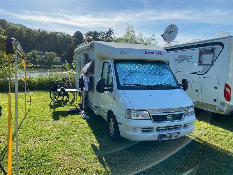
Campingplatz am Kanu-Club, Hameln (15.06. - 17.06.2022)
Coordinates: 52.09499°N, 9.35760°E
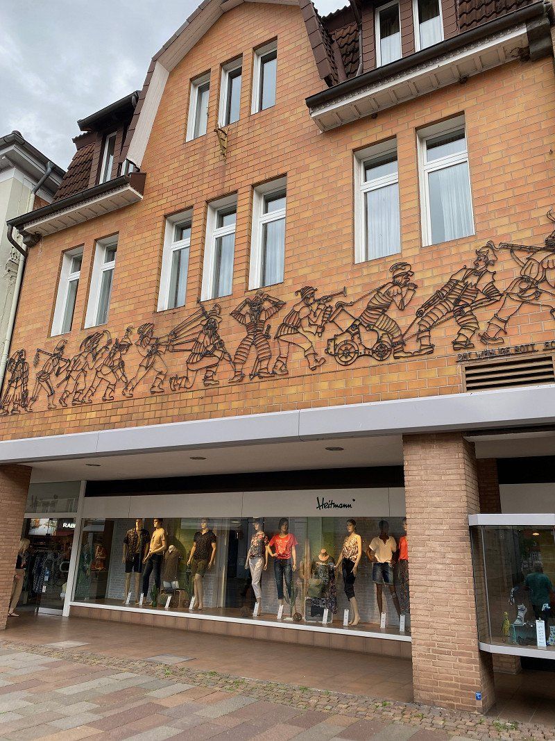
Nice little parking space at a marina, right on the Weser with very large pitches for mobile homes and caravans. Unfortunately no disposal of gray water. Highlights are the nearby old town of the Pied Piper town of Hamelin, Fischbeck Abbey (former Benedictine abbey, today mostly used as a horse stud farm), the town of Rinteln (picturesque town center) and Hessisch Oldendorf (beautiful pedestrian zone).
Hameln, Deutschland
52° 6' 15.1" N 9° 21' 41.8" E
52.1042035 9.3616000
• Head toward Deisterallee on Ostertorwall (B1). Go for 3 m.
• Continue on Ostertorwall (B1). Go for 796 m.
• Turn right onto Senior-Schläger-Platz. Go for 58 m.
• Continue on Papenstraße. Go for 158 m.
• Continue on Sudetenstraße. Go for 219 m.
• Continue on Zehnthof. Go for 165 m.
• Turn right onto Thiewall (B83). Go for 157 m.
• Turn left onto Erichstraße (B83) toward A2/Dortmund/Minden. Go for 23.1 km.
• Turn left onto Anschlussstelle Bad Eilsen toward Hannover/Dortmund/A2. Go for 126 m.
• Take ramp onto A2 toward Dortmund. Go for 10.6 km.
• Take exit 34 toward Veltheim/Porta Westfalica. Go for 325 m.
• Turn right onto Veltheimer Straße (L865) toward Porta Westfalica. Go for 1.1 km.
• Turn left onto Papensgrund. Go for 351 m.
• Arrive at Papensgrund. Your destination is on the right.
☍
37,2 km
( 28 min.)
Day
Day
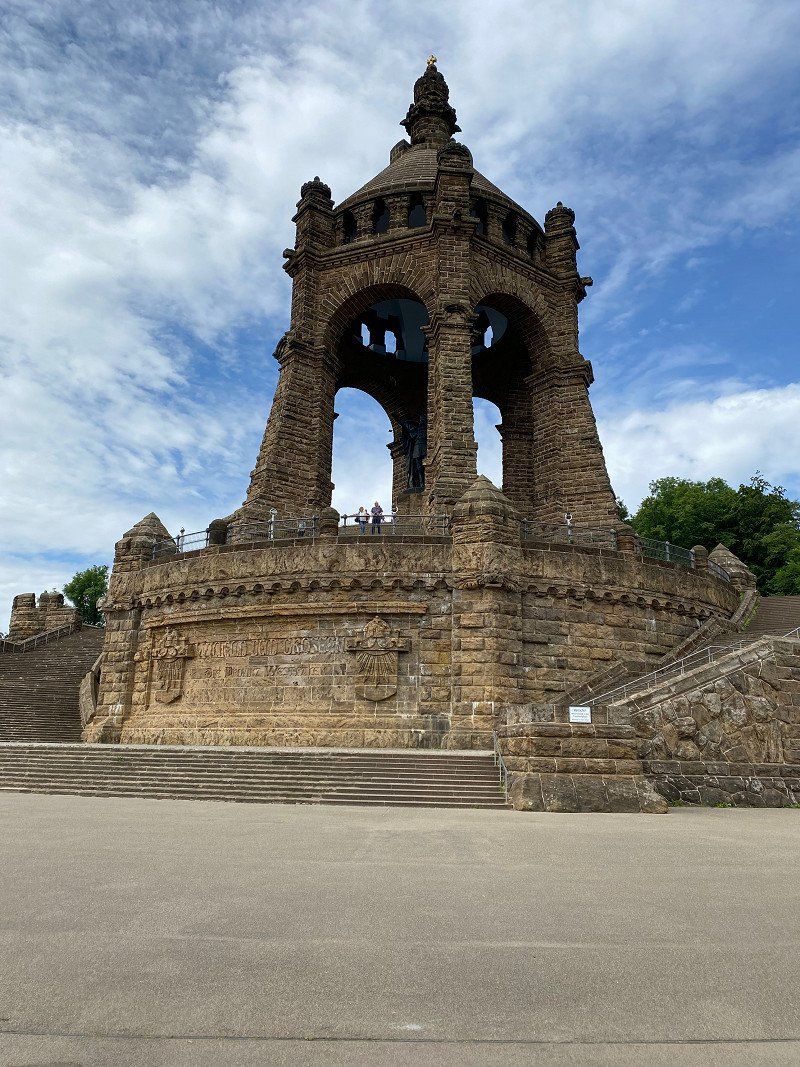
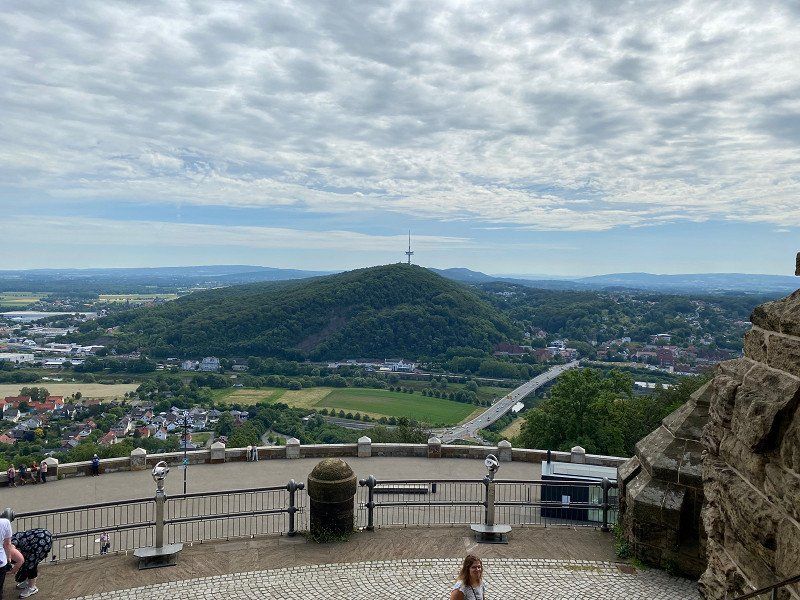
Porta Westfalica, Kaiser-Wilhelm-Denkmal
Kaiserstrasse 15 car park
Landscape-defining monumental building (88 m) at the Weser breakthrough near the East Westphalian town of Porta Westfalica. Built according to the plans of the Berlin architect Bruno Schmitz in the years 1892 - 96, it was restored in 2013/2018 and reopened on July 8th, 2018.
32457 Porta Westfalica, Deutschland
52° 13' 31.1" N 8° 56' 24.8" E
52.2253083 8.9402185
• Head toward Hacksiekstraße on Papensgrund. Go for 351 m.
• Turn left onto Veltheimer Straße (L865). Go for 1.1 km.
• Turn left onto Kirchsiek (L780). Go for 2.0 km.
• Take the 2nd exit from roundabout onto Kirchsiek (L780). Go for 67 m.
• Take ramp onto B482. Go for 34.5 km.
• Take the 3rd exit from roundabout onto Loccumer Straße (B441) toward Nienburg/Landesbergen/Stolzenau. Go for 1.8 km.
• Turn left onto Stolzenauer Straße (B215/B441) toward Bremen/Uchte/Stolzenau/Minden. Go for 2.5 km.
• Turn right onto Weserstraße. Go for 48 m.
• Continue on Weserstraße (L351). Go for 23.2 km.
• Turn right onto Werderstraße. Go for 1.2 km.
• Arrive at your destination.
☍
66,9 km
(1 hrs. )
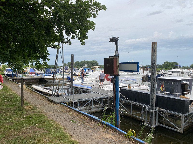
Stellplatz Marina Mehlbergen
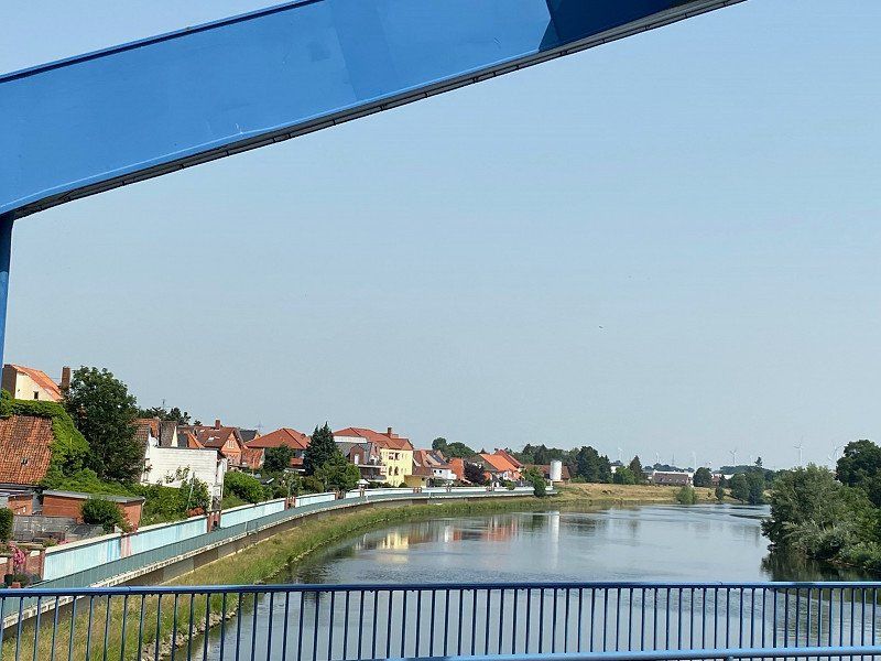
Small, very inexpensive parking space at a marina in Balge, OT Mehlbergen (approx. 9 km from the center of Nienburg). Beautifully located directly on the Weser, the pitch also has no gray water disposal.
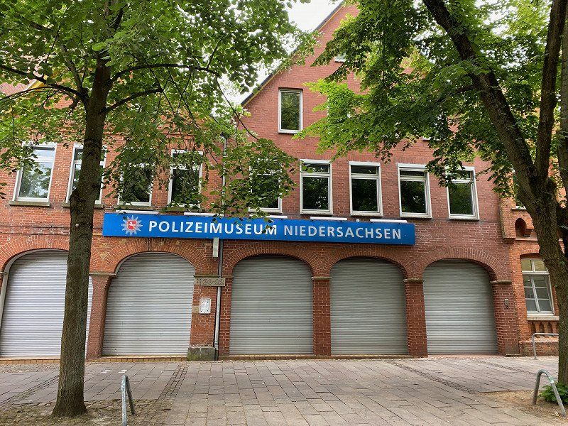
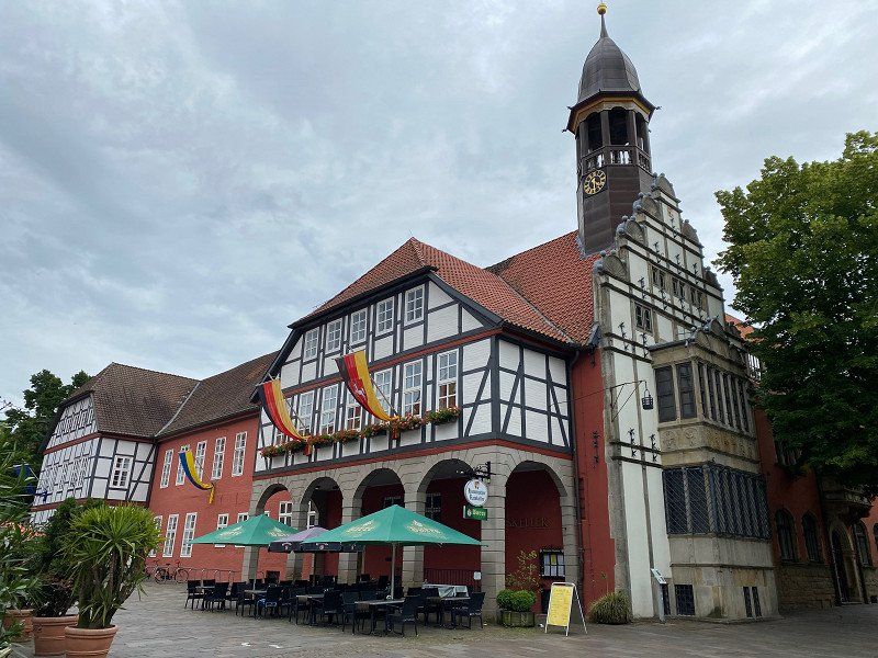
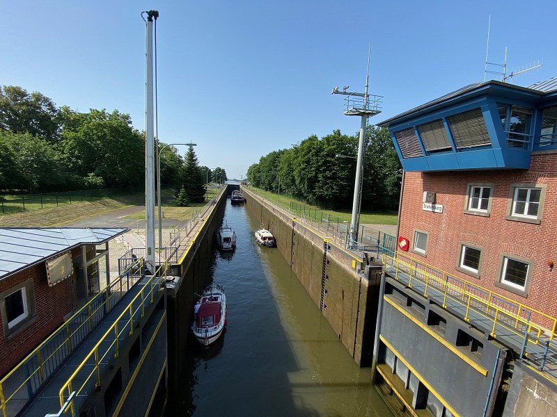
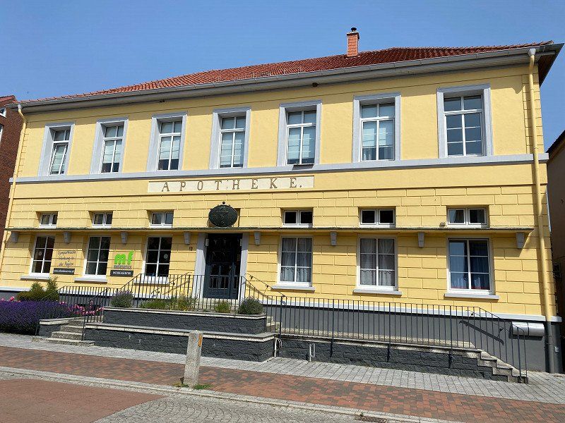
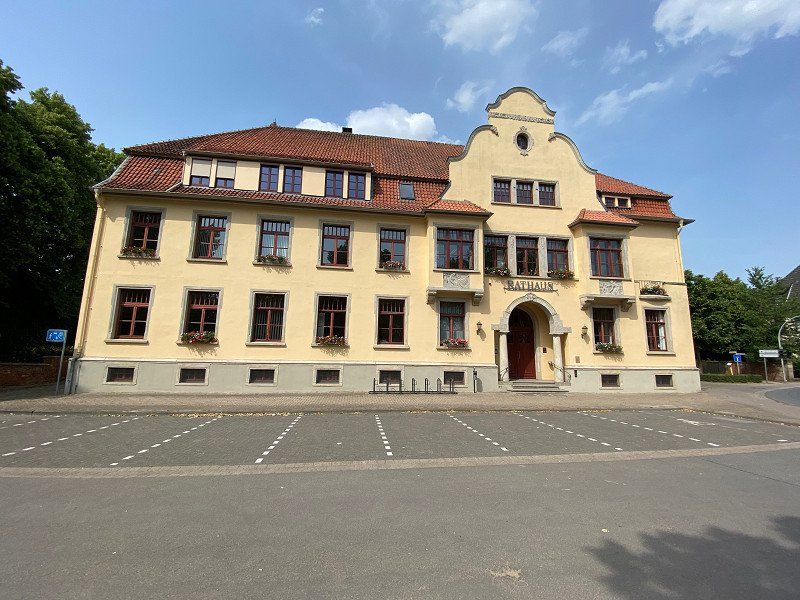
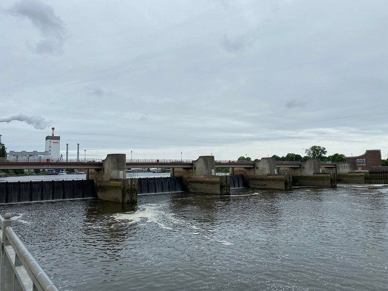
Highlights on the Weser cycle path are the nearby town of Nienburg with its beautiful old town and the Lower Saxony Police Museum, as well as the small town of Hoya and the Weser lock in Drakenburg.
Werderstraße, 31609, Balge, Germany
52° 41' 17" N 9° 10' 56" E
52.6880556 9.1822222
• Head west. Go for 914 m.
• Continue on Werderstraße. Go for 312 m.
• Turn right onto Mehlberger Straße (L351). Go for 14.4 km.
• Take the 2nd exit from roundabout onto Bücker Straße (L351) toward Bremen/Gewerbegebiet Nord. Go for 1.5 km.
• Turn left onto L331 toward Bremen/Martfeld. Go for 9.3 km.
• Continue on Hauptstraße (L202). Go for 557 m.
• Turn right onto Bremer Straße (L331). Go for 4.3 km.
• Turn left onto Bremer Straße (L331). Go for 25.3 km.
• Continue on Neuenlander Straße (B6) toward Neustadt. Go for 517 m.
• Turn right onto Friedrich-Ebert-Straße. Go for 1.4 km.
• Continue on Wilhelm-Kaisen-Brücke. Go for 90 m.
• Continue on Wilhelm-Kaisen-Brücke. Go for 87 m.
• Turn right onto Franziuseck. Go for 59 m.
• Continue on Werderstraße. Go for 754 m.
• Continue on Kuhhirtenweg. Go for 471 m.
• Arrive at Kuhhirtenweg. Your destination is on the right.
☍
59,8 km
( 59 min.)
Day
Stellplatz Am Kuhhirten, Bremen (19.06. - 21.06.2022)
Parking space close to the center (1.3 km) near the Weser Stadium and a former excursion restaurant (today the Hotel "Zum Kuhhirten"). The spacious and always well-utilized parking space has complete supply and disposal, including TV connection on the parking space. Unfortunately, the pricing is very non-transparent, so that the cheap €17 per night can quickly become €15 if you want to take a shower and fill up with fresh water and need shore power (€0.60/KWh).
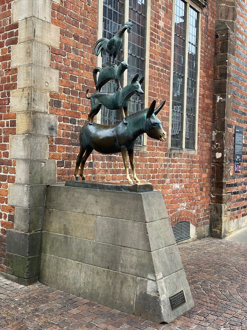
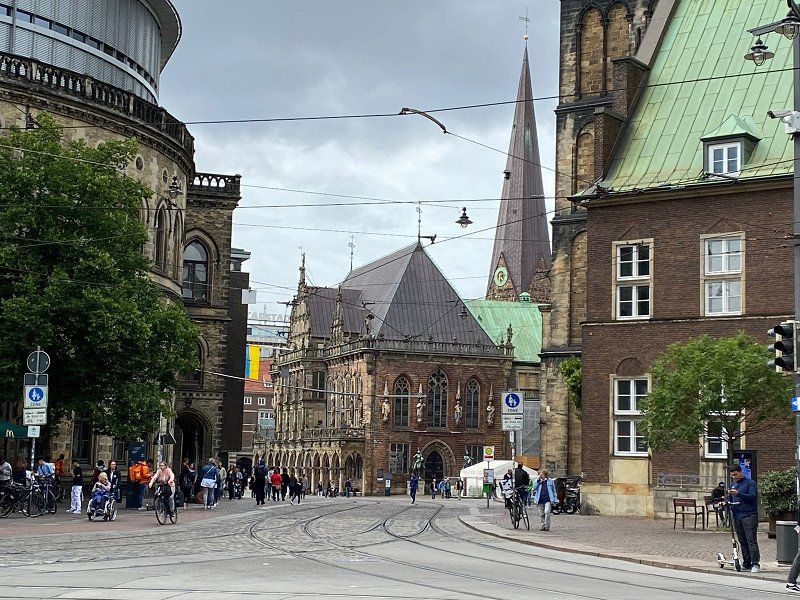
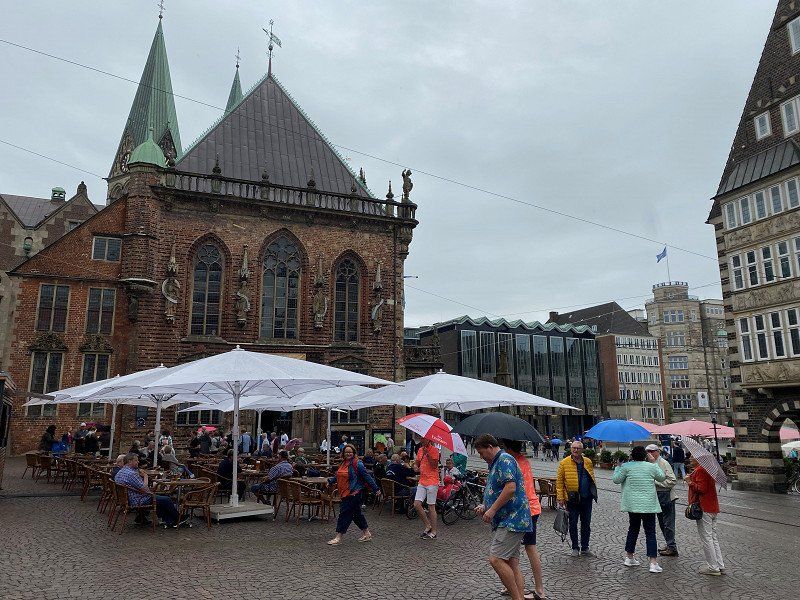
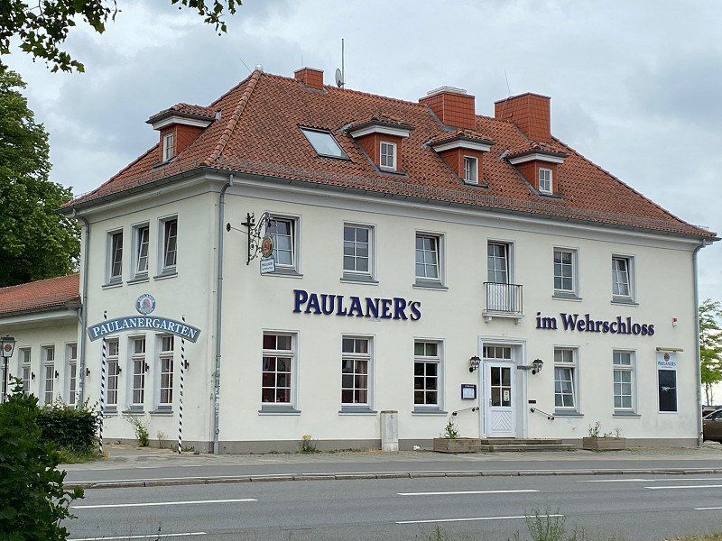
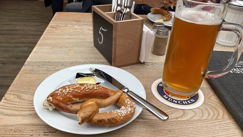
Highlights are the Bremen city center with cathedral, town hall, Roland and Bremen Town Musician as well as the Weser Speerwerk in Bremen-Hastedt, which was newly built in 2011. A visit to the Paulaner beer garden near the Weser barrage is also worthwhile.
Kuhhirtenweg, 28201, Bremen, Germany
53° 3' 54" N 8° 49' 7" E
53.0650000 8.8186111
• Head toward Strandweg on Kuhhirtenweg. Go for 471 m.
• Continue on Werderstraße. Go for 754 m.
• Continue on Franziuseck. Go for 59 m.
• Turn right onto Wilhelm-Kaisen-Brücke. Go for 157 m.
• Turn right onto Tiefer. Go for 324 m.
• Keep right onto Osterdeich. Go for 3.1 km.
• Continue on Hastedter Osterdeich toward A1/Hamburg/Hannover/Rotenburg/Sebaldsbrück/Hemelingen. Go for 994 m.
• Turn left toward Hamburg-Osnabrück/Rotenburg/Sebaldsbrück/Weserhafen/Hemelingen. Go for 27 m.
• Turn slightly left onto Malerstraße. Go for 262 m.
• Turn right onto Pfalzburger Straße. Go for 848 m.
• Keep left onto Autobahnzubringer Hemelingen toward A1/Mahndorf/Arbergen. Go for 2.5 km.
• Take ramp onto A1 toward Hamburg/Hannover. Go for 7.1 km.
• Take exit 53 toward Hannover/Achim onto A27. Go for 55.9 km.
• Take the exit onto A7. Go for 46.8 km.
• Take exit 57 toward Berlin/Braunschweig onto A2. Go for 5.3 km.
• Keep left onto A2. Go for 193 km.
• Take exit 78 toward Brandenburg/Bad Belzig. Go for 396 m.
• Turn left onto B102 toward Brandenburg/Gewerbegebiet Massivhauspark. Go for 3.7 km.
• Continue on B102N. Go for 674 m.
• Turn left onto Rietzer Straße toward Schmerzke. Go for 527 m.
• Turn slightly right onto Altes Dorf. Go for 289 m.
• Turn left onto Schmerzker Ring. Go for 114 m.
• Turn slightly left onto Schmerzker Ring. Go for 220 m.
• Turn left onto Schmerzker Ring. Go for 24 m.
• Arrive at Schmerzker Ring. Your destination is on the right.
☍
323,8 km
(2 hrs. 59 min.)
Day
Day
Ankunft Zuhause (21.06.2022)
Schmerzker Ring 128, 14776 Brandenburg an der Havel, Deutschland
52° 23' 11.1" N 12° 35' 23.3" E
52.3864199 12.5898167