Harsum, Deutschland
52° 12' 35.9" N 9° 57' 46.6" E
52.2099738 9.9629420
• Head toward Oststraße on Hessingsweg. Go for 65 m.
• Turn left onto Oststraße. Go for 14 m.
• Turn right onto Breite Straße (L467). Go for 62 m.
• Turn right onto Kaiserstraße (L467). Go for 323 m.
• Continue on Kaiserstraße (K201). Go for 180 m.
• Continue on Konrad-Adenauer-Straße (K201). Go for 431 m.
• Continue on K201. Go for 401 m.
• Continue on Hildesheimer Straße (K201). Go for 563 m.
• Turn left onto Borsumer Straße (K201). Go for 127 m.
• Turn right onto Bundesstraße (B494). Go for 1.1 km.
• Take ramp onto A7 toward Kassel. Go for 134 km.
• Take exit 79 toward Marburg/Kassel onto A49 (Südtangente). Go for 86.5 km.
• Take the left exit toward Basel/Frankfurt/Wiesbaden/Gießen onto A5. Go for 111 km.
• Take the exit toward Basel/Karlsruhe/Heidelberg onto A5. Go for 262 km.
• Take exit 65 toward Müllheim/Neuenburg/Badenweiler/Bad Bellingen. Go for 332 m.
• Take the 2nd exit from roundabout onto B378 toward Bad Bellingen/Badenweiler/Müllheim/Neuenburg/Karlsruhe/A5. Go for 355 m.
• Pass 2 roundabouts and continue on B378. Go for 4.7 km.
• Take ramp toward Freiburg/Lörrach/Bahnhof. Go for 222 m.
• Turn left onto Bundesstraße (B3) toward Lörrach/Neuenburg/Bahnhof. Go for 260 m.
• Take the 2nd exit from roundabout onto Bundesstraße (B3). Go for 412 m.
• Turn right onto Eisenbahnstraße toward Gewerbegebiet Steinbuck. Go for 57 m.
• Arrive at Eisenbahnstraße. Your destination is on the right.
☍
603,9 km
(5 hrs. 12 min.)
Day
Stellplatz am Gasthof Kreuz
Bundesstraße 3, Haus Nr. 7, 79379, Müllheim, Deutschland
47° 48' 33" N 7° 36' 27" E
47.8091667 7.6075000
• Head toward Schliengener Straße on Eisenbahnstraße. Go for 101 m.
• Turn left onto Schliengener Straße. Go for 309 m.
• Turn left onto Bahnhofstraße. Go for 86 m.
• Take the 1st exit from roundabout onto B3. Go for 272 m.
• Turn right onto K4946 toward Neuenburg/Gewerbegebiet Müllheim-West. Go for 1.7 km.
• Turn right onto K4946. Go for 675 m.
• Turn left onto B378. Go for 2.5 km.
• Pass 2 roundabouts and continue on B378. Go for 565 m.
• Take the 1st exit from roundabout onto A5 toward Basel. Go for 4.6 km.
• Take exit 66 toward Lyon/Mulhouse/Flughafen Euro onto A5. Go for 611 m.
• Continue on A36 (La Comtoise). Go for 13.5 km.
• Keep left onto A36 (La Comtoise) toward Paris/Lyon/Guebwiller. Go for 183 km.
• Take the exit toward Lyon/Lons le S./Dole/Choisey onto A39 (Autoroute Verte). Go for 113 km.
• Continue on A40. Go for 22.4 km.
• Continue on A42 toward Grenoble/Chambéry/Lyon/Aéroport Saint-Exupéry. Go for 40.0 km.
• Take the exit toward Marseille/Grenoble/St Étienne/Aéroport Saint-Exupéry onto A432. Go for 22.5 km.
• Take the left exit toward Marseille/St Étienne/Lyon onto A43. Go for 7.1 km.
• Take the exit toward Marseille/St Étienne/Z.I. Lyon Sud-Est onto A46. Go for 22.1 km.
• Take the left exit toward Marseille/Valence/Vienne onto A7 (Autoroute du Soleil). Go for 177 km.
• Keep right onto A9 (Échangeur d'Orange) toward Barcelone/Toulouse/Montpellier/Nîmes. Go for 281 km.
• Continue on AP-7 (Autopista de la Mediterrània). Go for 20.3 km.
• Take exit 3 toward Figueres N./Roses/Figueres/Girona/Barcelona/Olot/Ripoll. Go for 391 m.
• Take the 3rd exit from roundabout onto N-2 toward Figueres/Girona/Barcelona. Go for 5.4 km.
• Take ramp onto Carretera de Roses (C-260) toward Roses. Go for 1.6 km.
• Pass 2 roundabouts and continue on C-260. Go for 3.4 km.
• Take the 3rd exit from roundabout onto C-260 toward Castelló d'Empúries/Roses/Cadaqués. Go for 1.9 km.
• Take the 4th exit from roundabout onto C-260 toward Roses/Cadaqués. Go for 1.8 km.
• Take the 3rd exit from roundabout. Go for 1.1 km.
• Turn slightly right. Go for 319 m.
• Continue straight ahead. Go for 3.5 km.
• Turn right. Go for 56 m.
• Turn right. Go for 238 m.
• Arrive at your destination on the right.
☍
932,0 km
(8 hrs. 12 min.)
Day
Camping Laguna
Apdo. De Correos 55, 17486, Castelló d'empúries, Spanien
42° 14' 15" N 3° 7' 13.1" E
42.2375000 3.1203000
• Head west. Go for 181 m.
• Turn right. Go for 138 m.
• Turn left toward Carretera de Sant Miquel de Fluvià/GIV-6216. Go for 4.8 km.
• Take the 5th exit from roundabout onto Carretera de Sant Miquel de Fluvià (GIV-6216) toward St. Pere Pescador/l'Escala. Go for 360 m.
• Continue on GIV-6216. Go for 6.5 km.
• Continue on Carretera de Sant Miquel de Fluvià (GIV-6216). Go for 278 m.
• Take the 2nd exit from roundabout onto Carrer Sant Sebastià (GIV-6216) toward Centre Ciutat. Go for 242 m.
• Continue on Carretera d'Armentera a Viladamat (GIV-6303). Go for 197 m.
• Turn left onto Carrer Carme (GIV-6303) toward l'Armentera/l'Escala/Oficina de Turisme. Go for 105 m.
• Turn right onto Pont de Sant Pere Pescador (GIV-6303). Go for 198 m.
• Continue on GIV-6303. Go for 21 m.
• Take the 2nd exit from roundabout toward l'Escala. Go for 432 m.
• Continue on Carrer Empordà. Go for 77 m.
• Take the 2nd exit from roundabout onto Carrer d'Empori. Go for 42 m.
• Arrive at Carrer d'Empori. Your destination is on the right.
☍
13,6 km
( 22 min.)
Day
Day
Day
Carrer Empori
42° 11' 10.2" N 3° 5' 31" E
42.1861558 3.0919353
• Head toward Camí del Mas Sopes on Carrer d'Empori. Go for 336 m.
• Continue on Avinguda d'Empúries. Go for 557 m.
• Continue on Carretera San Martín de Empúries. Go for 4.2 km.
• Continue on Càmping La Ballena Alegre. Go for 140 m.
• Continue on Carretera San Martín de Empúries. Go for 1.1 km.
• Continue on Ronda de Sant Pere Pescador. Go for 418 m.
• Take the 1st exit from roundabout onto GIP-6307 toward l'Escala. Go for 557 m.
• Turn left onto Carrer Muralla. Go for 199 m.
• Arrive at Carrer Muralla. Your destination is on the right.
☍
7,5 km
( 9 min.)
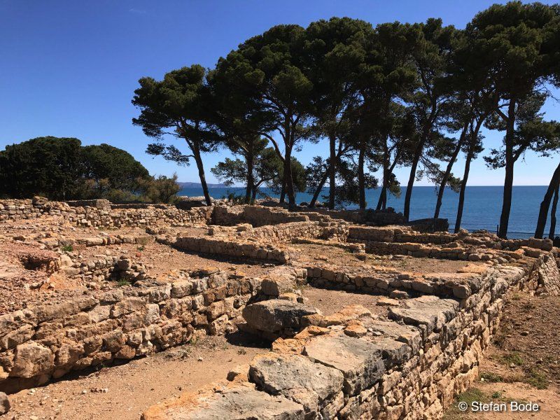
Empúries, Spanien
17130 Empúries, Provinz Girona, Spanien
42° 8' 2.5" N 3° 6' 44.7" E
42.1340179 3.1124280
• Head south on Carrer Muralla. Go for 123 m.
• Continue on Camí de les Corts. Go for 520 m.
• Turn right onto GI-623. Go for 143 m.
• Take the 4th exit from roundabout onto GI-623 toward l'Escala. Go for 1.1 km.
• Take the 2nd exit from roundabout onto Carretera de Vilademat a l'Escala (GI-623) toward l'Escala. Go for 1.1 km.
• Keep right toward Bellcaire d'E./La Bisbal d'Empordà/l'Escala. Go for 175 m.
• Continue on Carretera Escala a Viladamat toward Puig-Sec/Riells de Dalt/Port-la Clota/Montgó/Torroella de Montgrí. Go for 287 m.
• Continue on Carretera Bellcaire d'Empúries (GI-632). Go for 220 m.
• Take the 2nd exit from roundabout onto GI-632 toward La Bisbal d'Empordà. Go for 3.7 km.
• Continue on Carretera de l'Escala (GI-632). Go for 1.0 km.
• Continue on GI-632. Go for 45 m.
• Take the 2nd exit from roundabout onto GI-632. Go for 2.4 km.
• Continue toward C-31. Go for 35 m.
• Take the 2nd exit from roundabout onto C-31. Go for 1.3 km.
• Continue on Carretera de Torroella de Montgrí a Verges (C-31). Go for 39 m.
• Continue on C-31. Go for 203 m.
• Take the 2nd exit from roundabout onto Carretera de Torroella de Montgrí a Verges (C-31) toward Torroella de Montgrí/Torroella M. Go for 216 m.
• Continue on C-31. Go for 22 m.
• Continue on Carretera de Torroella de Montgrí a Verges (C-31). Go for 94 m.
• Continue on C-31. Go for 72 m.
• Continue on Carretera de Torroella de Montgrí a Verges (C-31). Go for 18 m.
• Continue on C-31. Go for 592 m.
• Take the 2nd exit from roundabout onto Carretera de Sant Jordi (C-31) toward Torroella de Montgrí. Go for 806 m.
• Take the 2nd exit from roundabout onto Avinguda Lluís Companys (C-31) toward l'Estartit/Palafrugell. Go for 504 m.
• Take the 3rd exit from Plaça Lledoner roundabout onto Passeig de Catalunya (C-31) toward CAP Hospital/Gualta/Pals/Palafrull/Palamós/Urb. Mas Pinell/Centre Ciutat. Go for 471 m.
• Take the 2nd exit from roundabout onto Carretera de Palafrugell a Torroella de Montgrí (C-31) toward Palafrugell/La Bisbal d'Empordà/Girona. Go for 340 m.
• Continue on C-31. Go for 233 m.
• Take the 2nd exit from roundabout onto C-31 toward Pals/Palafrugell/Palamós. Go for 929 m.
• Arrive at C-31. Your destination is on the left.
☍
16,7 km
( 20 min.)
C-31
42° 1' 39.5" N 3° 7' 51.3" E
42.0276336 3.1309091
• Head southeast on C-31. Go for 6.1 km.
• Continue on Carretera de Palafrugell a Torroella de Montgrí (C-31). Go for 442 m.
• Take the 2nd exit from roundabout onto Carretera de Palafrugell a Torroella de Montgrí (C-31) toward Begur/Palafrugell/Palamós. Go for 1.2 km.
• Take the 2nd exit from roundabout onto GI-652 toward Torrent/Palamós. Go for 798 m.
• Continue on Carretera de Pals (GI-652). Go for 1.8 km.
• Take the 2nd exit from roundabout onto Carretera de Torrent (GI-652). Go for 166 m.
• Continue on GI-652. Go for 671 m.
• Take the 2nd exit from roundabout onto C-66 toward Palafrugell/Mont-Ras/Palamós. Go for 1.8 km.
• Take the 2nd exit from roundabout onto Carretera de Girona a Palamós (C-66) toward Palafrugell/Palamós/Barcelona. Go for 610 m.
• Keep right onto C-31 (Carretera de Girona a Palamós) toward Palafrugell/Palamós/Barcelona. Go for 23.3 km.
• Continue on C-65. Go for 6.3 km.
• Continue on C-35 toward Barcelona/AP-7 sud/Lloret de Mar. Go for 5.9 km.
• Take exit 94 toward Tossa M./Girona/Llagostera. Go for 199 m.
• Take the 4th exit from roundabout toward C-35/St. Feliu G./Tossa M./Platja A. Go for 159 m.
• Take the 2nd exit from roundabout onto GI-681 toward Tossa de Mar. Go for 13.8 km.
• Take the 3rd exit from roundabout onto Avinguda de Catalunya (GI-681) toward Centre Ciutat/Lloret de Mar. Go for 682 m.
• Take the 2nd exit from Plaça del Mas Salvador de la Creu roundabout onto Avinguda de Catalunya (GI-681) toward St. Feliu de Guíxols/St. Feliu de G. Go for 392 m.
• Take the 2nd exit from roundabout onto Avinguda de Catalunya (GI-681). Go for 289 m.
• Take the 3rd exit from roundabout onto Carretera Tossa a Sant Feliu (GI-682) toward St. Feliu de Guíxols/St. Feliu de G. Go for 46 m.
• Arrive at Carretera Tossa a Sant Feliu (GI-682). Your destination is on the left.
☍
64,5 km
( 51 min.)
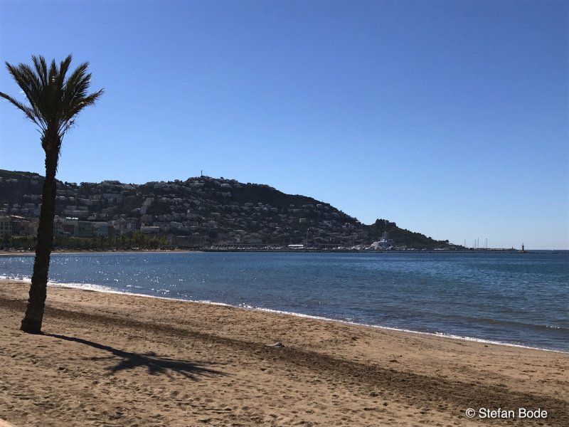
Tossa de Mar, Spanien
17320 Tossa de Mar, Girona, Spanien
41° 43' 21" N 2° 55' 49.3" E
41.7224989 2.9303675
• Head northeast on Carretera Tossa a Sant Feliu (GI-682). Go for 32 m.
• Turn left onto Rambla de Pau Casals. Go for 274 m.
• Turn left onto Carrer del Capità Mestres. Go for 34 m.
• Take the 1st exit from roundabout onto Avinguda de Catalunya (GI-681) toward Llagostera/Girona/Barcelona/AP-7. Go for 365 m.
• Pass 3 roundabouts. Go for 14.6 km.
• Take the 3rd exit from roundabout onto C-35 toward AP-7/Lloret de M./Barcelona. Go for 11.3 km.
• Take the 1st exit from roundabout onto AP-7 (Autopista de la Mediterrània) toward Barcelona. Go for 51.9 km.
• Keep left onto AP-7 (Autopista de Barcelona a Mollet del Vallès) toward C-33/Centre Ciutat Barcelona/Aeropuerto. Go for 172 m.
• Continue on C-33 (Autopista de Barcelona a Mollet del Vallès). Go for 12.1 km.
• Keep right toward Barcelona Rondes/A-2/AP-7/C-32/C-31/N-2/Port Zal/Aeroport. Go for 533 m.
• Continue on B-10. Go for 1.2 km.
• Take the exit toward Ronda de Dalt/A-2/AP-7/C-32/Aeroport/Vall d'Hebron-Sarrià/Túnel de la Rovira/Fira onto B-20 (Ronda de Dalt). Go for 12.2 km.
• Continue on C-32 (Ronda de Dalt) toward Sitges/Aeroport/Castelldefels/Zona Franca/l'Hospitalet/Fira. Go for 4.3 km.
• Continue on B-20 toward Castelldefels/Sitges/Tarragona/B-22/Aeroport. Go for 2.1 km.
• Take exit 54 toward Castelldefels/C-31/Aeroport onto B-22. Go for 1.7 km.
• Take exit 2 toward Castelldefels/Aeroport Terminal T1/Aeroport Cargoparc onto C-31 (Autovia de Castelldefels). Go for 10.4 km.
• Turn right. Go for 48 m.
• Arrive at your destination on the left.
☍
123,2 km
(1 hrs. 25 min.)
Estrella de Mar
Campsite on the expressway for sightseeing in Barcelona
Avinguda de Castelldefels, km 16,700, 08860, Castelldefels, Spanien
41° 16' 11.6" N 1° 59' 56.8" E
41.2699000 1.9991000
• Head toward Avinguda de Castelldefels. Go for 48 m.
• Turn right onto Avinguda de Castelldefels (C-31). Go for 1.9 km.
• Keep left onto Avinguda de Castelldefels (C-31) toward C-32/Sitges/Tarragona. Go for 705 m.
• Take ramp onto C-32. Go for 43.9 km.
• Take the left exit toward Tarragona/València onto AP-7 (Autopista de la Mediterrània). Go for 12.2 km.
• Take exit 32 toward Torredembarra/Altafulla. Go for 460 m.
• Take the 3rd exit from roundabout onto T-214 toward AP-7/Lleida/Torredembarra/Altafulla/Tarragona/Barcelona. Go for 226 m.
• Take the 1st exit from roundabout onto Carretera de Cádiz a Barcelona (N-340) toward Tarragona. Go for 4.5 km.
• Take ramp toward Altafulla. Go for 369 m.
• Take the 5th exit from roundabout onto Carretera de Cádiz a Barcelona (N-340a) toward Altafulla/Tamarit. Go for 690 m.
• Turn right toward Altafulla. Go for 74 m.
• Turn right onto Carrer N. Go for 93 m.
• Take the 3rd exit from roundabout onto Carrer N. Go for 147 m.
• Continue on Camí de Tamarit. Go for 194 m.
• Turn slightly right onto Camí de Tamarit. Go for 891 m.
• Turn slightly left. Go for 174 m.
• Arrive at your destination.
☍
66,6 km
( 44 min.)
Day
Day
Camping Tamarit Resort Park
43008
41° 7' 51.3" N 1° 21' 44.5" E
41.1309126 1.3623721
• Head west. Go for 174 m.
• Turn slightly right onto Camí de Tamarit. Go for 1.1 km.
• Continue on Carrer N. Go for 32 m.
• Take the 1st exit from roundabout onto Carrer N. Go for 98 m.
• Turn right toward Carretera de Cádiz a Barcelona/N-340a. Go for 197 m.
• Turn right onto Carretera de Cádiz a Barcelona (N-340a). Go for 284 m.
• Turn left toward Ferran/La Riera de Gaià. Go for 25 m.
• Make a U-Turn. Go for 23 m.
• Turn right onto Carretera de Cádiz a Barcelona (N-340a). Go for 1.0 km.
• Take the 3rd exit from roundabout onto A-7 toward Tarragona/Castelló. Go for 21.0 km.
• Take exit 1152 toward Vila-Seca oest/E-15/Reus/C-14/Salou/Tarragona/Castelló onto AP-7 (Autopista de la Mediterrània). Go for 225 km.
• Continue on A-7 (Autovía del Mediterráneo). Go for 13.9 km.
• Take exit 321 toward Bétera. Go for 343 m.
• Take the 1st exit from roundabout onto CV-310 toward Bétera. Go for 2.0 km.
• Take the 2nd exit from roundabout onto CV-3106. Go for 392 m.
• Turn left. Go for 50 m.
• Turn right toward Calle Universo. Go for 185 m.
• Turn left onto Calle Universo. Go for 294 m.
• Arrive at Calle Universo. Your destination is on the left.
☍
266,5 km
(2 hrs. 32 min.)
Day
Day
Valencia Camper Park
Polígono N-62.R, 46117, Bétera, Spanien
39° 34' 45" N 0° 26' 44" W
39.5791667 -0.4455556
• Head northeast on Calle Universo. Go for 294 m.
• Turn right. Go for 185 m.
• Turn left toward CV-3106. Go for 50 m.
• Turn right onto CV-3106. Go for 313 m.
• Take the 2nd exit from roundabout onto CV-310. Go for 2.0 km.
• Take the 2nd exit from roundabout toward Alicante. Go for 392 m.
• Continue on A-7 (Autovía del Mediterráneo). Go for 13.5 km.
• Take exit 335 toward Madrid onto A-3 (Autovía del Este). Go for 326 km.
• Take exit 12 toward M-45/Valencia/R-3/Aeropuerto/A-2/R-2/A-1/Mejorada del Campo. Go for 3.8 km.
• Take the exit toward E-5/Córdoba/A-4 onto M-45. Go for 16.1 km.
• Take the exit onto M-40. Go for 6.7 km.
• Take exit 36 toward Boadilla onto M-501 (Autovía de los Pantanos). Go for 8.9 km.
• Take exit 7. Go for 408 m.
• Turn right onto Lugar Camping Arco Iris. Go for 33 m.
• Arrive at Lugar Camping Arco Iris. Your destination is on the right.
☍
379,1 km
(3 hrs. 22 min.)
Day
Camping Madrid Arco Iris
Crta M501 KM 7,100 s/n, 28670, Villaviciosa de Odón, Spanien
40° 22' 52.3" N 3° 54' 25.9" W
40.3812000 -3.9072000
• Head southeast on Lugar Camping Arco Iris. Go for 33 m.
• Turn right. Go for 1.3 km.
• Take the 4th exit from roundabout toward Boadilla/Madrid. Go for 290 m.
• Take left ramp onto M-501 (Autovía de los Pantanos) toward Boadilla del Monte/Madrid. Go for 7.7 km.
• Take exit 1A toward Badajoz/A-5/R-5/A-42/A-4/R-4/A-3 onto M-40. Go for 28.1 km.
• Take exit 9AB toward Zaragoza/A-2/Aeropuerto/M-30/av. América onto M-14 (Avenida de la Hispanidad). Go for 866 m.
• Keep right onto Nudo de Eisenhower toward E-90/A-2/Zaragoza/av. América/M-30/Bo. Aeropuerto. Go for 459 m.
• Take the exit toward Zaragoza onto A-2 (Nudo de Eisenhower). Go for 290 km.
• Take exit 311B toward Zaragoza/Vía Hispanidad/Z-30 onto N-2A (Carretera Madrid). Go for 1.3 km.
• Take the 2nd exit from roundabout onto Carretera Madrid (N-2A). Go for 1.5 km.
• Take ramp toward Rosales del Canal/Montecanal/Valdespartera. Go for 132 m.
• Continue on Camino del Canal. Go for 120 m.
• Take the 3rd exit from roundabout onto Calle San Juan Bautista de la Salle. Go for 701 m.
• Take the 2nd exit from roundabout onto Calle San Juan Bautista de la Salle. Go for 431 m.
• Arrive at Calle San Juan Bautista de la Salle. Your destination is on the left.
☍
333,2 km
(2 hrs. 57 min.)
Day
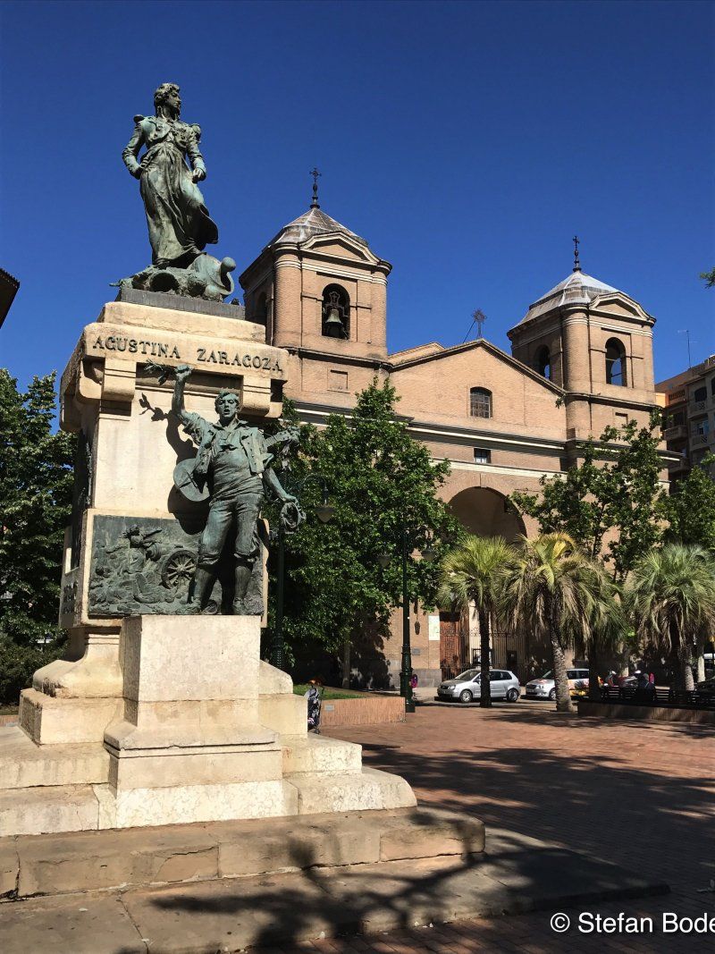
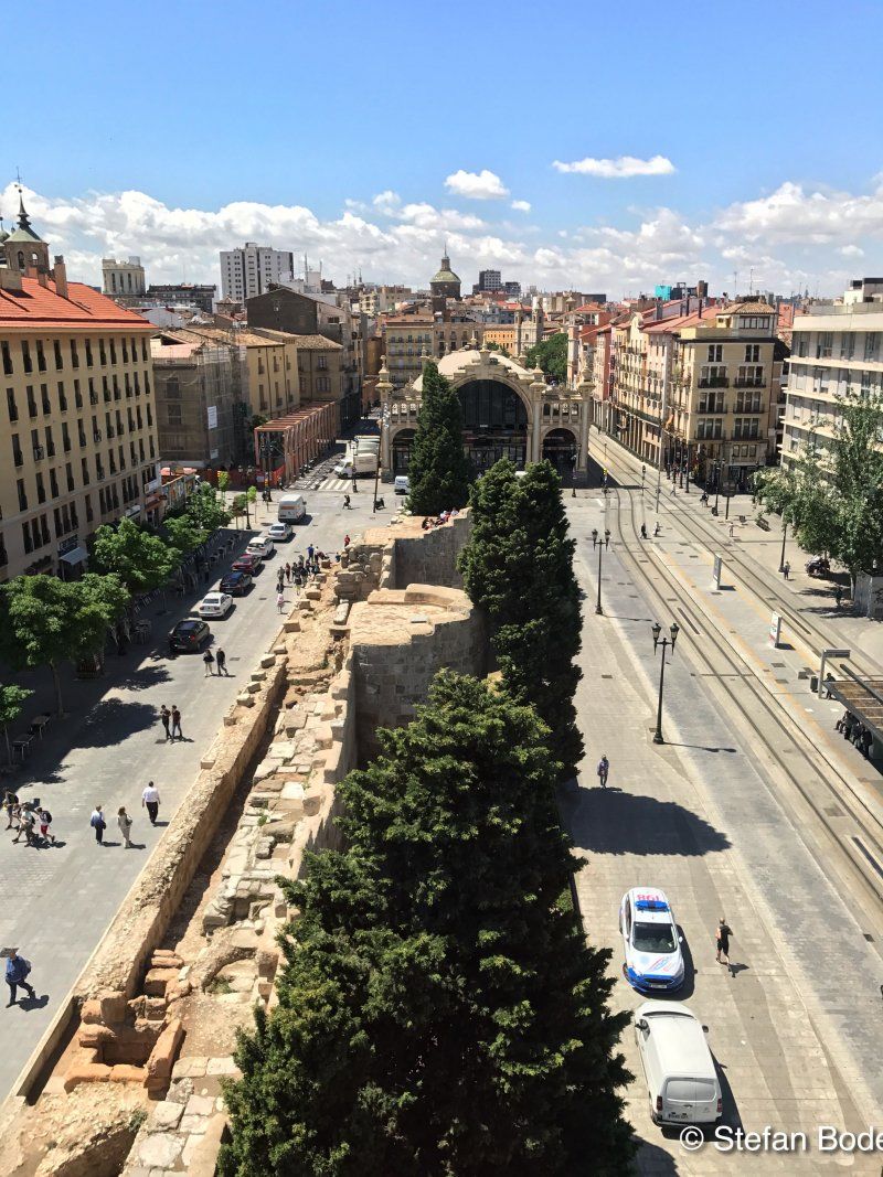
Ciudad de Zaragoza
Calle Tomás Lezaun, 41I, 50012 Zaragoza, Spain
41° 38' 3.5" N 0° 56' 6.4" W
41.6343000 -0.9351000
• Head east on Calle San Juan Bautista de la Salle. Go for 412 m.
• Take the 4th exit from roundabout onto Calle San Juan Bautista de la Salle. Go for 1.0 km.
• Take the 2nd exit from roundabout onto Calle San Juan Bautista de la Salle. Go for 665 m.
• Continue straight ahead. Go for 53 m.
• Take the 2nd exit from roundabout. Go for 367 m.
• Take the 1st exit from roundabout onto Carretera Madrid (N-2A). Go for 1.3 km.
• Take the 1st exit from roundabout onto Carretera Madrid (N-2A). Go for 580 m.
• Take ramp onto A-2 (Autovía del Nordeste) toward Z-40/Aeropuerto/A-68/Logroño/Pamplona/Huesca/A-23/Barcelona. Go for 28.3 km.
• Continue on AP-2 (Autopista Zaragoza Mediterráneo). Go for 121 km.
• Take exit 6 toward Lleida onto LL-12. Go for 1.5 km.
• Take the 2nd exit from roundabout onto LL-12 toward Lleida. Go for 2.1 km.
• Take the exit toward Andorra/Barcelona onto C-230a. Go for 801 m.
• Continue on C-13. Go for 3.8 km.
• Continue on C-13b toward Barcelona/LL-11. Go for 4.1 km.
• Take the 1st exit from roundabout onto LL-11 toward Barcelona. Go for 1.7 km.
• Take the 2nd exit from roundabout onto LL-11 toward Mollerussa/Barcelona. Go for 2.7 km.
• Take ramp onto A-2 (Autovia Lleida-Barcelona). Go for 50.0 km.
• Arrive at Autovia Lleida-Barcelona (A-2). Your destination is on the left.
☍
220,6 km
(1 hrs. 54 min.)
Day
Day
Autovia del Nord-est
41° 39' 42.8" N 1° 18' 22.8" E
41.6618962 1.3063394
• Head southeast on A-2 (Autovia Lleida-Barcelona). Go for 57.6 km.
• Take exit 582B onto B-40 (Quart Cinturó). Go for 8.4 km.
• Take the exit toward Barcelona onto C-16 (Autopista de Manresa). Go for 4.1 km.
• Keep left onto C-58 toward Girona/Sabadell/Barcelona nord/Trinitat. Go for 11.2 km.
• Take exit 8AB toward Girona onto AP-7 (Autopista de la Mediterrània). Go for 120 km.
• Take exit 4 toward Figueres S/Roses. Go for 1.5 km.
• Continue straight ahead. Go for 29 m.
• Take the 3rd exit from roundabout toward La Jonquera/Perpignan/C-260/Roses/Cadaqués/N-260/Llançà/Centre Duaner Vilamalla. Go for 144 m.
• Continue toward N-2. Go for 165 m.
• Take ramp onto N-2. Go for 5.8 km.
• Take ramp onto Carretera de Roses (C-260) toward Roses/Castelló d'Empúries. Go for 1.1 km.
• Pass 2 roundabouts and continue on C-260. Go for 3.4 km.
• Take the 3rd exit from roundabout onto C-260 toward Castelló d'Empúries/Roses/Cadaqués. Go for 1.9 km.
• Take the 4th exit from roundabout onto C-260 toward Roses/Cadaqués. Go for 1.8 km.
• Take the 3rd exit from roundabout. Go for 1.1 km.
• Turn slightly right. Go for 319 m.
• Continue straight ahead. Go for 3.5 km.
• Turn right. Go for 56 m.
• Turn right. Go for 238 m.
• Arrive at your destination on the right.
☍
222,0 km
(2 hrs. 16 min.)
Camping Laguna
Apdo. De Correos 55, 17486, Castelló d'empúries, Spanien
42° 14' 15" N 3° 7' 13.1" E
42.2375000 3.1203000
• Head west. Go for 181 m.
• Turn right. Go for 138 m.
• Turn left toward C-260. Go for 4.8 km.
• Take the 3rd exit from roundabout onto C-260 toward AP-7/Figueres/Girona/Perpinyà. Go for 1.8 km.
• Pass 4 roundabouts. Go for 5.3 km.
• Keep left onto C-260. Go for 696 m.
• Take ramp onto Cinturó de Ronda (N-2) toward La Jonquera/Perpinyà. Go for 5.4 km.
• Take ramp onto AP-7 (Autopista de la Mediterrània) toward La Jonquera. Go for 21.8 km.
• Continue on A9 (La Catalane). Go for 281 km.
• Continue on A7 (Autoroute du Soleil). Go for 188 km.
• Take the exit toward Genève/Grenoble/St Fons onto D383 (Boulevard Pierre Sémard). Go for 2.7 km.
• Keep right onto D383 toward Paris/Genève/Grenoble/Chambéry/Périphérique/Porte du Moulin à Vent. Go for 814 m.
• Keep left onto Boulevard Laurent Bonnevay (D383) toward Chambéry/Grenoble/Bourg/Genève/Paris/Vénissieux/Villeurbanne. Go for 3.4 km.
• Keep left onto Boulevard Laurent Bonnevay (D383) toward Bourg/Genève/Paris/Villeurbanne/Bron-Centre. Go for 2.5 km.
• Keep left onto Boulevard Laurent Bonnevay (D383) toward Bourg/Genève/Paris/Lyon-Centre/Villeurbanne-Centre. Go for 4.5 km.
• Take ramp onto A42 (Pont de Croix Luizet) toward Genève/Rocade Est. Go for 3.2 km.
• Take the left exit toward Paris/Genève/Bourg en B./Aéroport Saint Exupéry onto A42/A46. Go for 1.1 km.
• Take the exit toward Bourg en B./Genève/Strasbourg/Aéroport Saint-Exupéry onto A42. Go for 49.0 km.
• Continue on A40. Go for 23.0 km.
• Keep left onto A39 (Autoroute Verte) toward Strasbourg/Lille/Paris Par A5/Dijon/Lons le S. Go for 111 km.
• Take the exit toward Strasbourg/Besançon/Dole/Authume onto A36 (La Comtoise). Go for 123 km.
• Keep left onto A36 (La Comtoise) toward Strasbourg/Mulhouse/Belfort/Montbéliard. Go for 74.2 km.
• Continue on A5. Go for 191 m.
• Take the left exit toward Karlsruhe/Stuttgart/Freiburg onto A5. Go for 4.9 km.
• Take exit 65 toward Müllheim/Neuenburg/Badenweiler. Go for 171 m.
• Take the 2nd exit from roundabout onto B378 toward Bad Bellingen/Badenweiler/Mülheim/Neuenburg. Go for 238 m.
• Take the 2nd exit from roundabout onto B378 toward Badenweiler/Müllheim. Go for 4.5 km.
• Take ramp toward Freiburg/Lörrach/Bahnhof. Go for 222 m.
• Turn left onto Bundesstraße (B3) toward Lörrach/Neuenburg/Bahnhof. Go for 260 m.
• Take the 2nd exit from roundabout onto Bundesstraße (B3). Go for 412 m.
• Turn right onto Eisenbahnstraße toward Gewerbegebiet Steinbuck. Go for 57 m.
• Arrive at Eisenbahnstraße. Your destination is on the right.
☍
918,6 km
(8 hrs. 9 min.)
Day
Day
Stellplatz am Gasthof Kreuz
Overnight on the way north
Bundesstraße 3, Haus Nr. 7, 79379, Müllheim, Deutschland
47° 48' 33" N 7° 36' 27" E
47.8091667 7.6075000
• Head toward Schliengener Straße on Eisenbahnstraße. Go for 101 m.
• Turn left onto Schliengener Straße. Go for 309 m.
• Turn left onto Bahnhofstraße. Go for 86 m.
• Take the 1st exit from roundabout onto B3. Go for 272 m.
• Turn right onto K4946 toward Neuenburg/Gewerbegebiet Müllheim-West. Go for 1.7 km.
• Turn right onto K4946. Go for 675 m.
• Turn left onto B378. Go for 2.5 km.
• Take the 2nd exit from roundabout onto B378 toward Mulhouse. Go for 172 m.
• Take ramp onto A5 toward Karlsruhe. Go for 138 km.
• Take exit 49 toward Ötigheim onto B462. Go for 1.8 km.
• Turn right onto B3 toward Karlsruhe/Durmersheim/Ötigheim/Gewerbegebiet Muggensturm/B36. Go for 254 m.
• Keep left onto B3 toward B36/Karlsruhe-Rheinhafen/Durmersheim/Bietigheim/Ötigheim. Go for 94 m.
• Continue on B36. Go for 12.2 km.
• Arrive at B36. Your destination is on the right.
☍
157,7 km
(1 hrs. 34 min.)
Day
B36
48° 58' 4.1" N 8° 18' 36.3" E
48.9678141 8.3100871
• Head northeast on B36. Go for 6.0 km.
• Take ramp onto B10 toward Landau/Mannheim/B36/Knielingen/Rheinhafen. Go for 7.6 km.
• Keep left onto B10. Go for 160 m.
• Continue on A65. Go for 18.2 km.
• Arrive at A65. Your destination is on the left.
☍
31,9 km
( 22 min.)
A65
49° 9' 26.4" N 8° 9' 18.8" E
49.1573336 8.1552200
• Head north on A65. Go for 37.5 km.
• Take exit 7 toward Koblenz/Mainz onto A61. Go for 56.6 km.
• Arrive at A61.
☍
94,0 km
( 52 min.)
A61
49° 50' 1.2" N 8° 0' 24.7" E
49.8336615 8.0068599
• Head northwest on A61. Go for 11.9 km.
• Take exit 50 toward Frankfurt/Mainz/Ingelheim/Bingen-Ost onto A60. Go for 20.9 km.
• Take exit 18 toward Frankfurt a.M./Wiesbaden/Mz.-Gonsenheim onto A643. Go for 7.4 km.
• Take the exit toward Rüdesheim onto A66. Go for 3.7 km.
• Continue on B42. Go for 19.9 km.
• Turn left onto Europastraße. Go for 133 m.
• Turn left onto Campingweg. Go for 246 m.
• Turn right onto Kastanienallee. Go for 353 m.
• Turn sharp left onto Kastanienallee. Go for 197 m.
• Arrive at Kastanienallee. Your destination is on the right.
☍
64,8 km
( 44 min.)
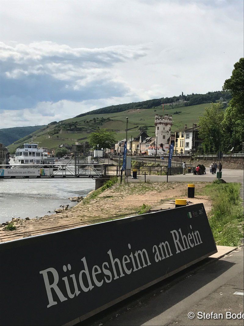
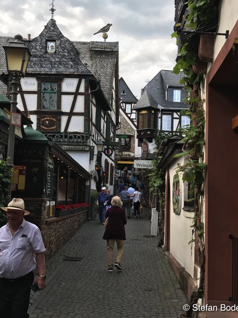
Campingplatz Rüdesheim am Rhein
Kastanienallee 4, 65385, Rüdesheim am Rhein, Deutschland
49° 58' 40.1" N 7° 56' 24.4" E
49.9778000 7.9401000
• Head west on Kastanienallee. Go for 197 m.
• Turn sharp right onto Kastanienallee. Go for 353 m.
• Turn left onto Campingweg. Go for 246 m.
• Turn right onto Europastraße. Go for 133 m.
• Turn right onto Am Rüdesheimer Hafen (B42). Go for 20.3 km.
• Continue on A66. Go for 33.5 km.
• Take exit 19 toward Hannover/Kassel/Dortmund onto A5. Go for 119 km.
• Continue on A7. Go for 195 km.
• Take exit 61 toward Hildesheim-Drispenstedt/Hohenhameln/Harsum. Go for 284 m.
• Turn right onto Bundesstraße (B494). Go for 2.4 km.
• Turn left onto Morgenstern (L467) toward Harsum. Go for 538 m.
• Turn right onto Kaiserstraße (L467). Go for 323 m.
• Turn left onto Breite Straße (L467). Go for 62 m.
• Turn left onto Oststraße. Go for 14 m.
• Turn right onto Hessingsweg. Go for 65 m.
• Arrive at Hessingsweg. Your destination is on the left.
☍
372,2 km
(3 hrs. 30 min.)
Day
Harsum, Deutschland
52° 12' 35.9" N 9° 57' 46.6" E
52.2099738 9.9629420