Day
Stuttgart
Drive from Stuttgart to Traben-Trabach.
Deutschland
48° 46' 33" N 9° 10' 58.6" E
48.7758459 9.1829321
• Head south on Charlottenplatz (B27). Go for 250 m.
• Turn right onto Olgastraße. Go for 568 m.
• Take the 2nd exit from roundabout onto Olgastraße. Go for 391 m.
• Keep right onto Olgastraße. Go for 311 m.
• Continue on Filderstraße. Go for 492 m.
• Turn left onto B14 toward Böblingen/S-Vaihingen. Go for 6.2 km.
• Keep right onto B14 toward Singen/München/Karlsruhe/Heilbronn/Flughafen/A81/A8/S-Vaihingen. Go for 1.9 km.
• Continue on A831. Go for 1.6 km.
• Take exit 2 toward Karlsruhe/Heilbronn onto A8/A81. Go for 7.0 km.
• Continue on A8 toward Karlsruhe/Basel/Leonberg-West. Go for 53.8 km.
• Take the left exit toward Basel/Baden-Baden/Ettlingen onto A5. Go for 139 km.
• Take exit 64A toward Bad Krozingen/Staufen/Münstertal/Colmar/Breisach. Go for 213 m.
• Turn right onto B31 toward Bad Krozingen/Münstertal/Staufen/Ehrenkirchen. Go for 234 m.
• Continue on L120 toward Bad Krozingen/Staufen. Go for 2.9 km.
• Turn right onto K4939 toward Tunsel/Schlatt. Go for 712 m.
• Take the 3rd exit from roundabout onto Thermenallee. Go for 1.3 km.
• Turn left. Go for 66 m.
• Turn right. Go for 46 m.
• Arrive at your destination on the right.
☍
216,9 km
(2 hrs. 8 min.)
Mosel-Stellplatz Traben-Trabach
The parking space is located directly on the Moselle. To the center 1 km. Beautiful bike paths.
€14.30 including electricity. Fresh water available. Gray water and chemical toilet disposal available.
Toilet use and shower included.
Thürachstraße 4, 79189 Bad Krozingen, Deutschland
47° 55' 3.3" N 7° 41' 20.1" E
47.9175960 7.6889290
• Head northwest. Go for 46 m.
• Turn left toward Thermenallee. Go for 66 m.
• Turn right onto Thermenallee. Go for 1.2 km.
• Take the 1st exit from roundabout onto K4939. Go for 721 m.
• Turn left onto L120. Go for 2.9 km.
• Turn left and take ramp onto A5 toward Karlsruhe. Go for 67.2 km.
• Take exit 55 toward Schutterwald onto B33A. Go for 343 m.
• Keep left onto B33A toward Karlsruhe/A5/Strasbourg/Flughafen/Kehl/Schutterwald. Go for 415 m.
• Keep right onto L98 toward Strasbourg/Flughafen/Kehl/Neuried/Schutterwald. Go for 6.1 km.
• Pass 2 roundabouts and continue on L98. Go for 4.6 km.
• Continue on Pont Pierre Pflimlin (M353). Go for 5.3 km.
• Take ramp toward M83/St Dié Par Col/Strasbourg/Aéroport Entzheim. Go for 928 m.
• Continue on M83. Go for 1.8 km.
• Take ramp onto A35 toward Strasbourg. Go for 9.4 km.
• Continue on A4 (Autoroute de l'Est) toward Nancy/Metz/Paris/Haguenau/Karlsruhe/Bischheim/Schiltigheim. Go for 166 km.
• Take the exit toward Thionville/Luxembourg/Longwy onto A31. Go for 36.2 km.
• Continue on A3. Go for 11.3 km.
• Take the exit toward E29/Aéroport/Trier/Ettelbruck/A7/Bruxelles/Liège/Esch/Alzette/A4 onto A6. Go for 21.7 km.
• Continue on E25/E411. Go for 42.5 km.
• Continue on E411 toward Bruxelles/Namur. Go for 133 km.
• Take exit 3 toward Terhulpen/Genval/Overijse. Go for 446 m.
• Turn right onto Terhulpensesteenweg (N253) toward Overijse/Industriezone Overijse. Go for 479 m.
• Turn left onto Speelberg. Go for 23 m.
• Turn right onto Speelberg. Go for 529 m.
• Turn left onto Alfons Moerenhoutstraat. Go for 407 m.
• Continue on Jean Tombeurstraat. Go for 540 m.
• Turn left onto Stationsplein. Go for 98 m.
• Continue on Eeuwfeestplein. Go for 95 m.
• Continue on Frans Verbeekstraat. Go for 3.1 km.
• Continue on Overijsesteenweg. Go for 551 m.
• Continue on Albert Biesmanslaan. Go for 422 m.
• Turn right onto Henri Caronstraat. Go for 94 m.
• Continue on Gemeenteplein. Go for 145 m.
• Continue on Marcel Félicéstraat. Go for 137 m.
• Continue on Brusselsesteenweg. Go for 2.0 km.
• Turn right onto Sint-Jansbergdreef. Go for 201 m.
• Take left ramp onto Steenweg op Sint-Jansberg (R0) toward Gent/E40/Antwerpen/E19/Luchthaven Zaventem/Luik/Namen/E411/Brussel. Go for 3.6 km.
• Keep left onto R0 toward Gent/E40/Luik/Antwerpen/E19/Luchthaven Zaventem. Go for 7.0 km.
• Continue on E40. Go for 3.6 km.
• Take the exit toward Antwerpen/Mechelen/Luchthaven Cargo onto E19. Go for 34.8 km.
• Take the exit toward Breda/Luik/Haven 1-999 onto E19/E34 (Kleine Ring). Go for 3.8 km.
• Continue on E19 (Ring Antwerpen 2) toward Ring 2/Breda/Haven. Go for 5.8 km.
• Take the exit toward Bergen op Zoom/Haven onto A12 (Antwerpen-Noord). Go for 19.2 km.
• Continue on A4. Go for 5.9 km.
• Take the exit toward Vlissingen/Goes onto A58 (Zeelandweg). Go for 31.3 km.
• Take the exit toward Goes/Zierikzee onto A256 (Deltaweg). Go for 5.7 km.
• Continue on Deltaweg (N256) toward Zierikzee/Rotterdam/Neeltje Jans. Go for 3.6 km.
• Take ramp toward Kats/N255/Kortgene/Kamperland/Wissenkerke. Go for 398 m.
• Take the 2nd exit from roundabout onto Oost-Westweg (N255). Go for 675 m.
• Pass 2 roundabouts and continue on Oost-Westweg (N255). Go for 13.0 km.
• Take the 4th exit from roundabout onto Oost-Westweg (N255) toward Goes/Kamperland/Wissenkerke. Go for 179 m.
• Turn right onto Oost-Westweg. Go for 842 m.
• Take the 3rd exit from roundabout onto Schotsmanweg. Go for 2.0 km.
• Turn right onto Campensweg. Go for 576 m.
• Turn right. Go for 171 m.
• Arrive at your destination on the right.
☍
663,3 km
(6 hrs. 32 min.)
Day
Kamperland, Niederlande
Campensweg 5, 4493 MN Kamperland, Niederlande
51° 34' 28.1" N 3° 39' 11.6" E
51.5744820 3.6532350
• Head north. Go for 123 m.
• Turn right onto Campensweg. Go for 395 m.
• Arrive at Campensweg. Your destination is on the right.
☍
0,5 km
( 1 min.)
Wohnmobilstellplatz Kamperland
€23.26 including electricity
There was fish and chips on the beach
Day
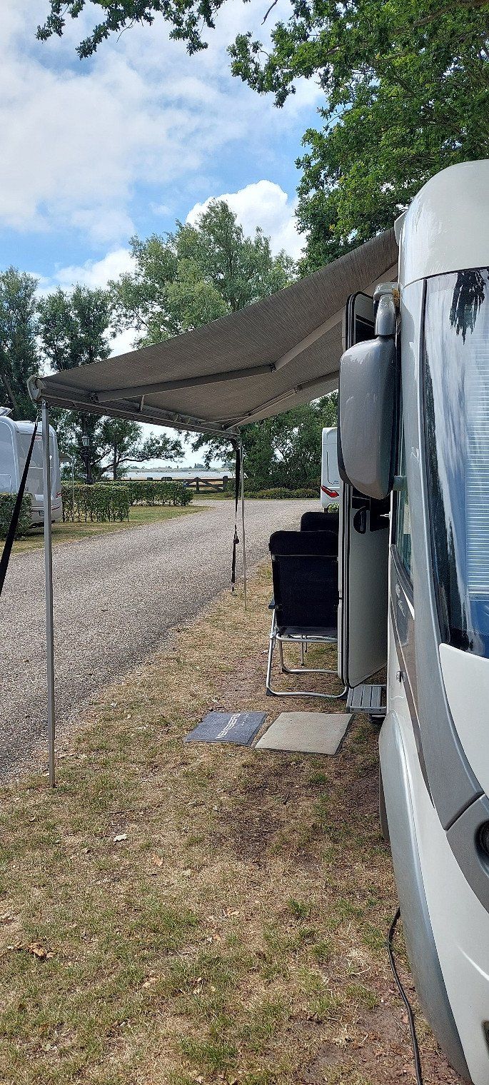
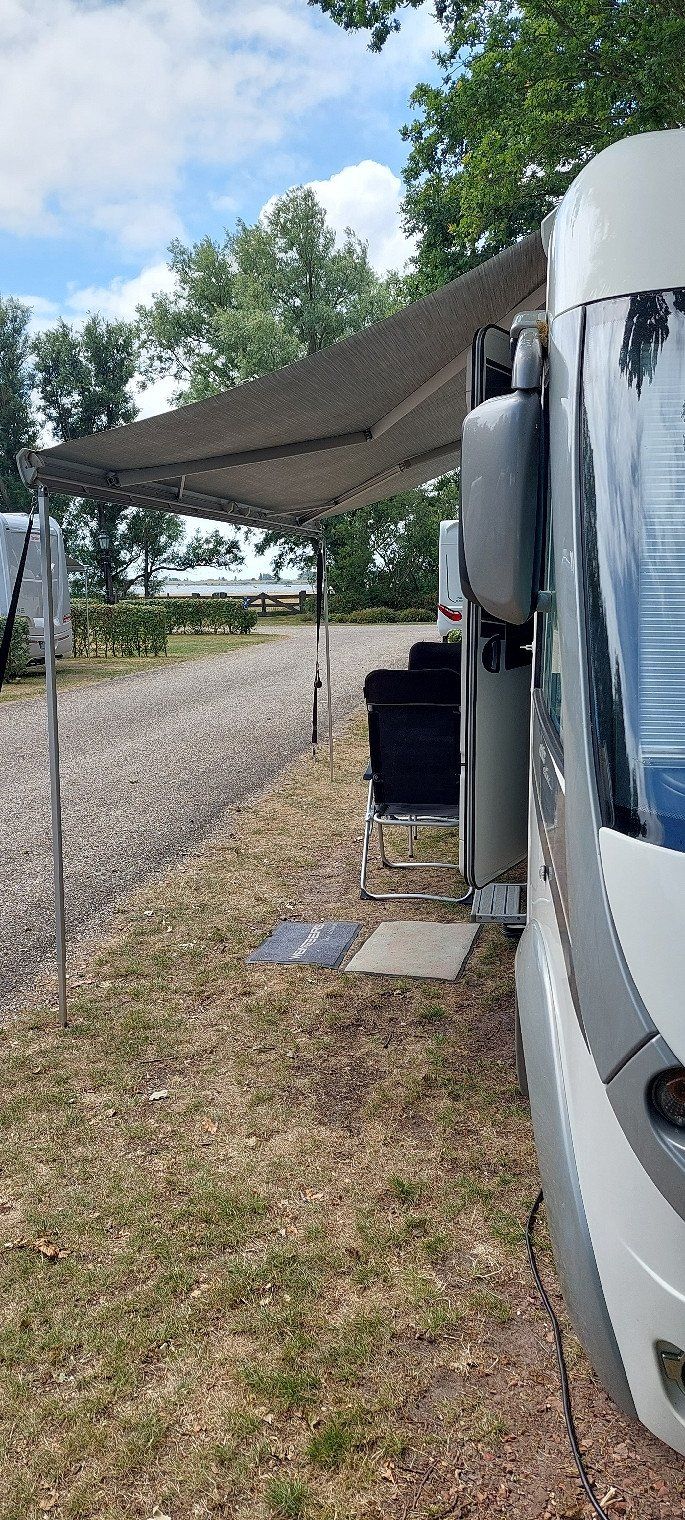
Camperpark Zeeland
8.7.2022
Today we pay €28.80.
Campensweg 5, 4493, Kamperland, Niederlande
51° 34' 23" N 3° 39' 18" E
51.5730556 3.6550000
• Head south on Campensweg.
• Turn right onto Campensweg. Go for 106 m.
• Turn right. Go for 169 m.
• Arrive at your destination on the right.
☍
0,3 km
( )
Day
Camperpark Zeeland
Campensweg 5, 4493 MN Kamperland, Niederlande
51° 34' 28.1" N 3° 39' 11.8" E
51.5744628 3.6532802
• Head north.
• Arrive at your destination on the right.
☍
Distance not available
(Duration not available)
Day
Camperpark Zeeland
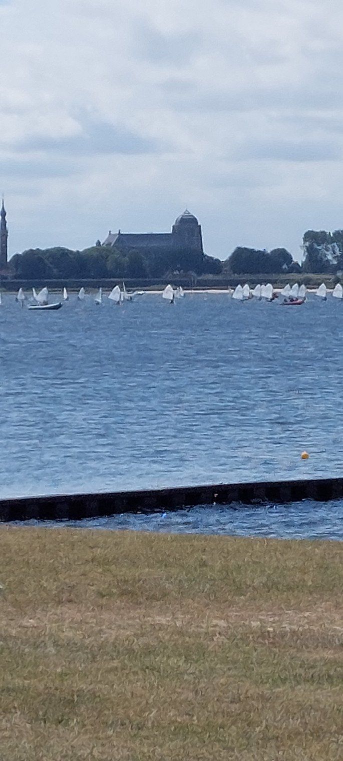
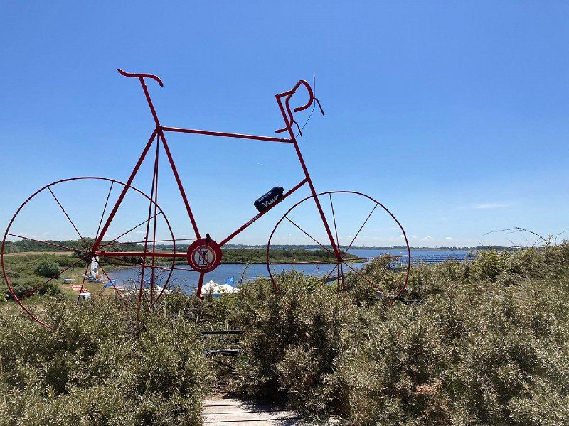
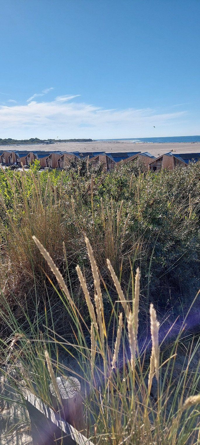
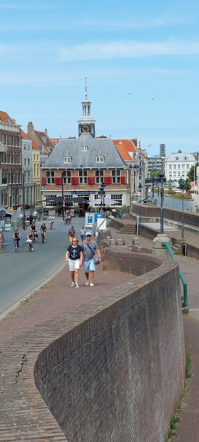
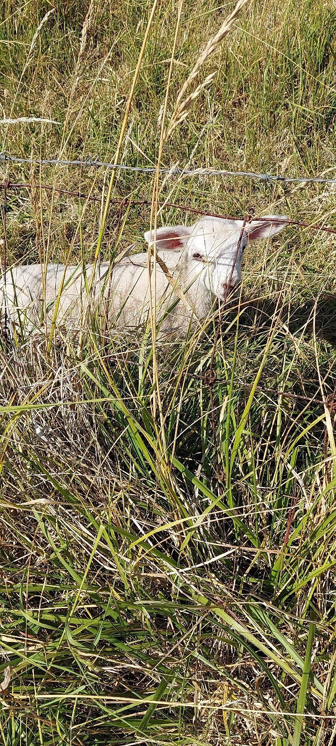
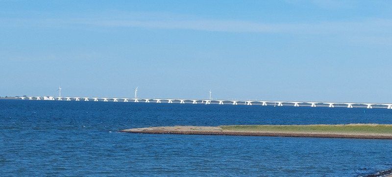
The bike paths are a dream and we take advantage of that. Every corner of the Zeeland islands holds plenty of surprises.
Campensweg 5, 4493 MN Kamperland, Niederlande
51° 34' 28.1" N 3° 39' 11.8" E
51.5744628 3.6532802
• Head north.
• Arrive at your destination on the right.
☍
Distance not available
(Duration not available)
Day
Camperpark Zeeland
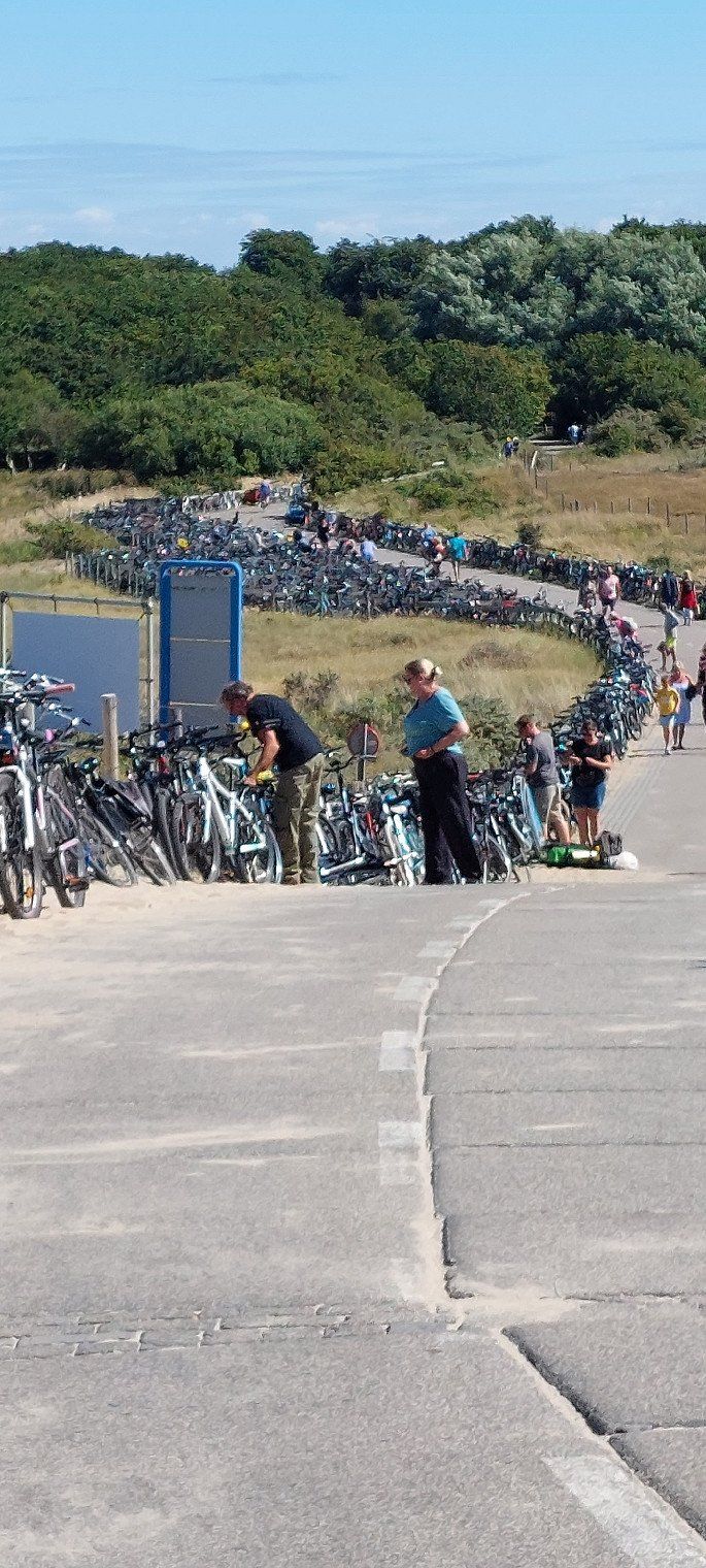
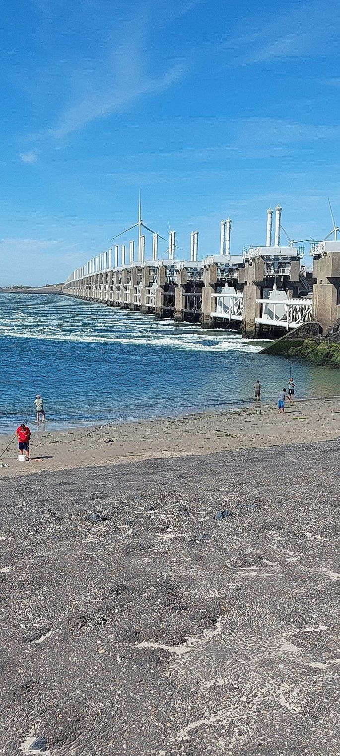
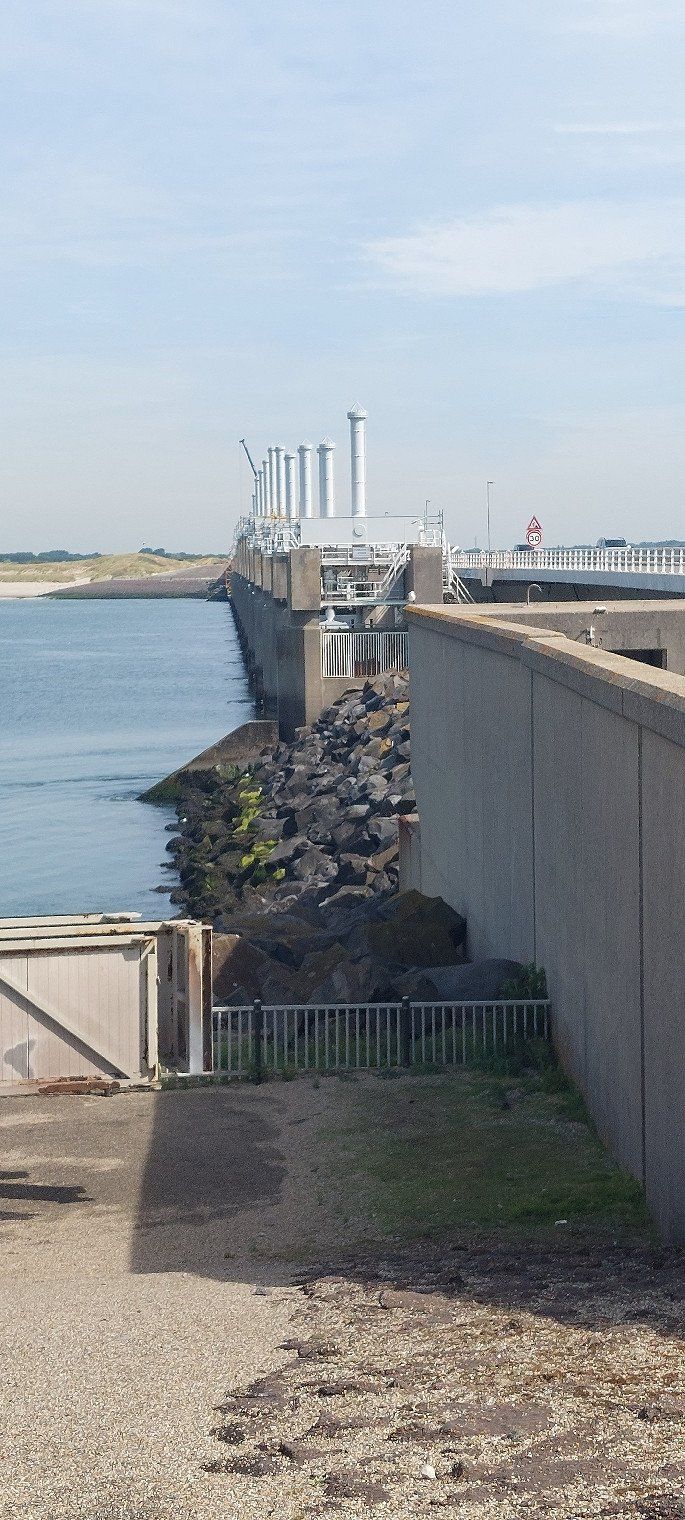
A bicycle tour (island hopping) is quite possible, first over the Delta Dam and back over the Zeelandbrug with 8 km quite a long way.
Campensweg 5, 4493 MN Kamperland, Niederlande
51° 34' 28.1" N 3° 39' 11.8" E
51.5744628 3.6532802
• Head north.
• Arrive at your destination on the right.
☍
Distance not available
(Duration not available)
Day
Camperpark Zeeland
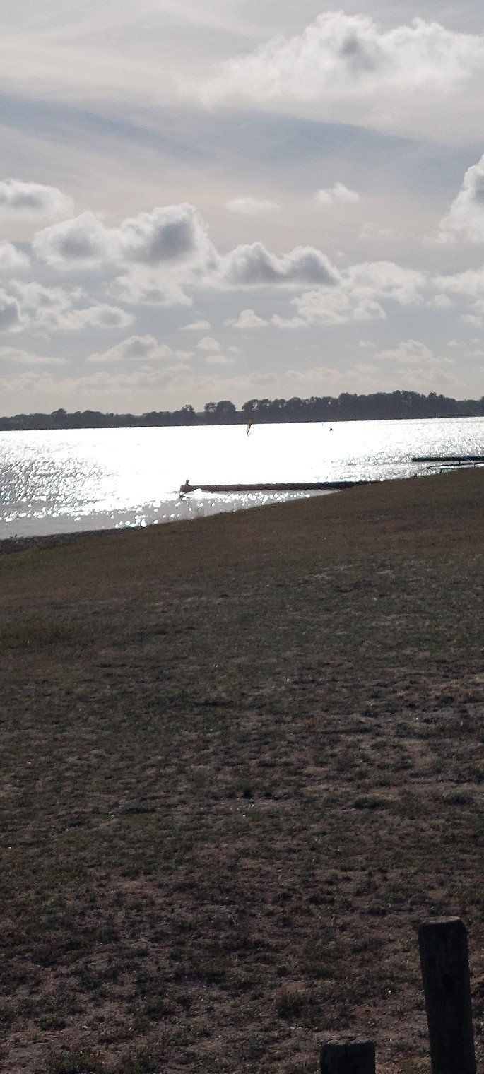
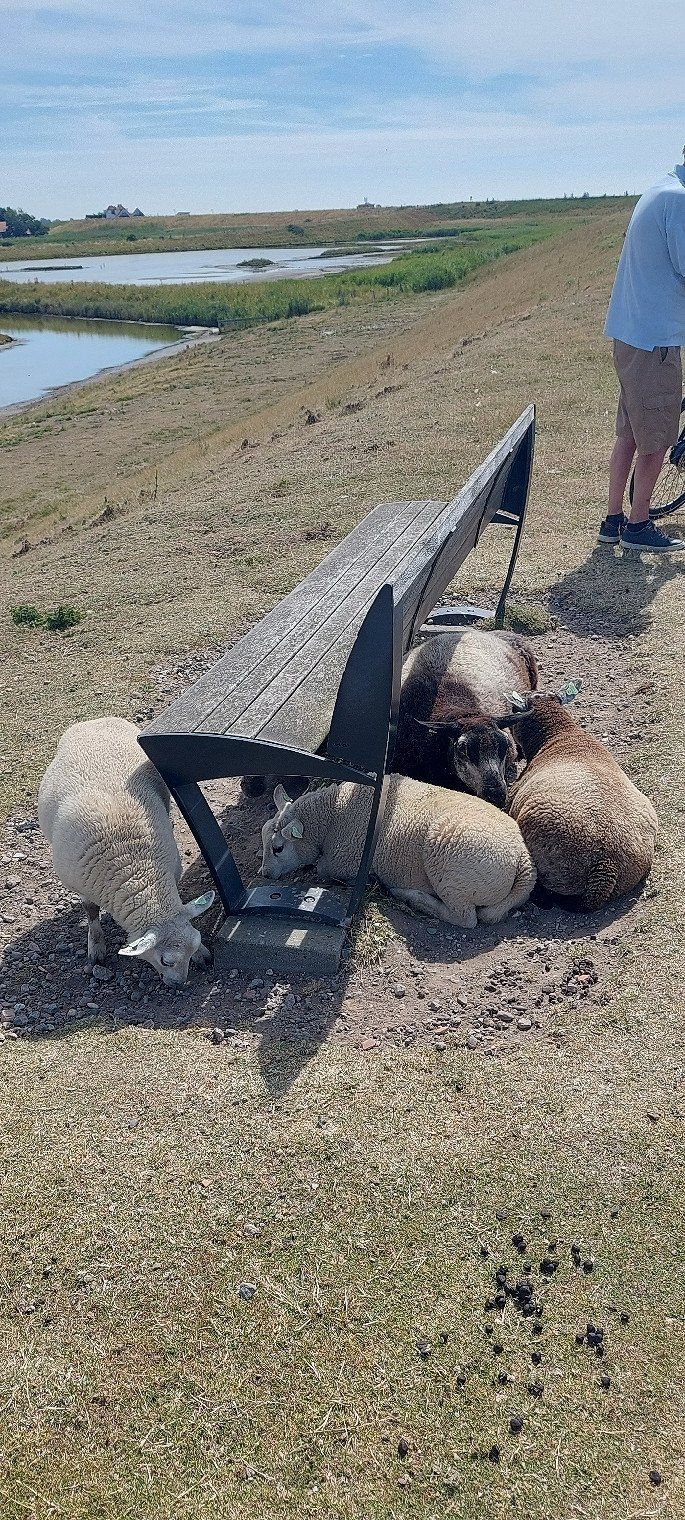
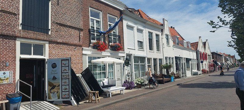
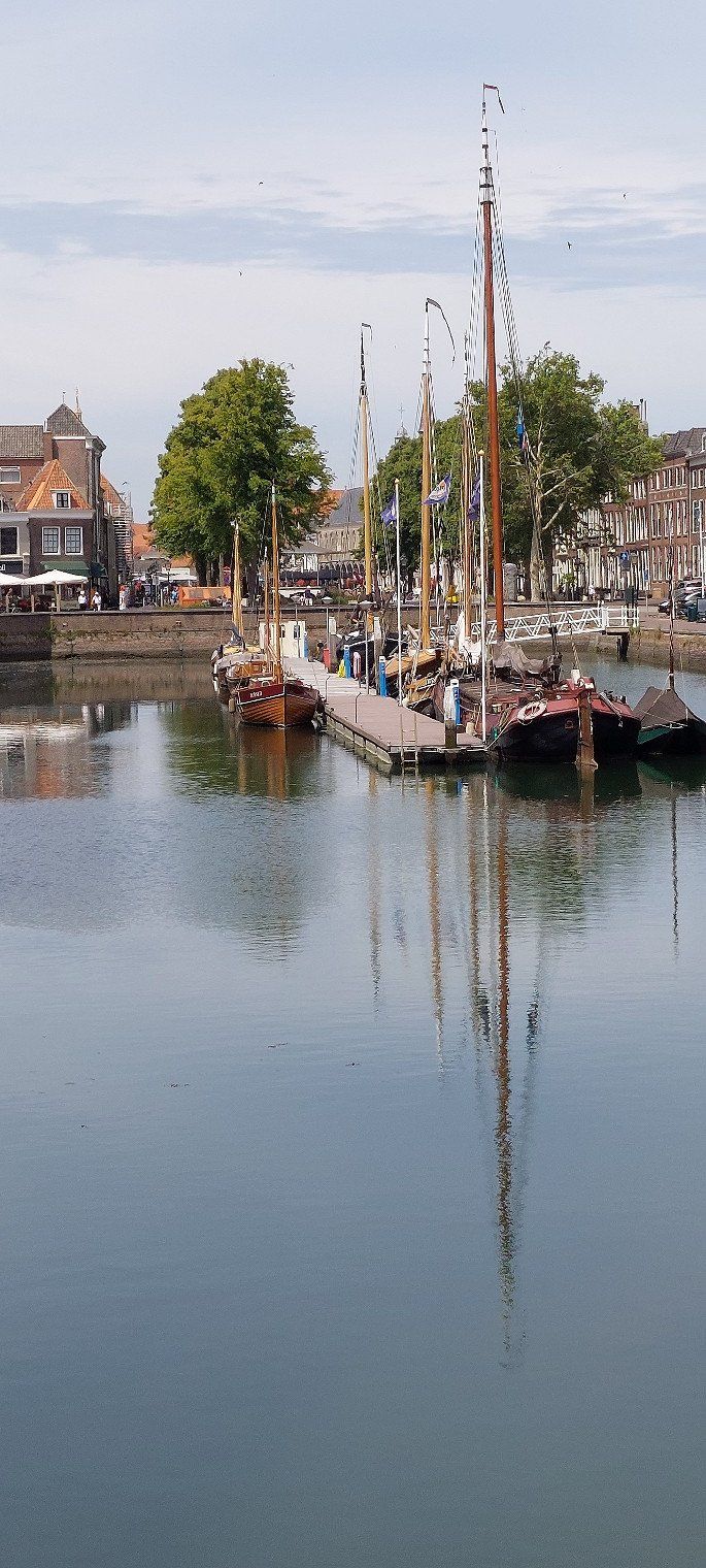
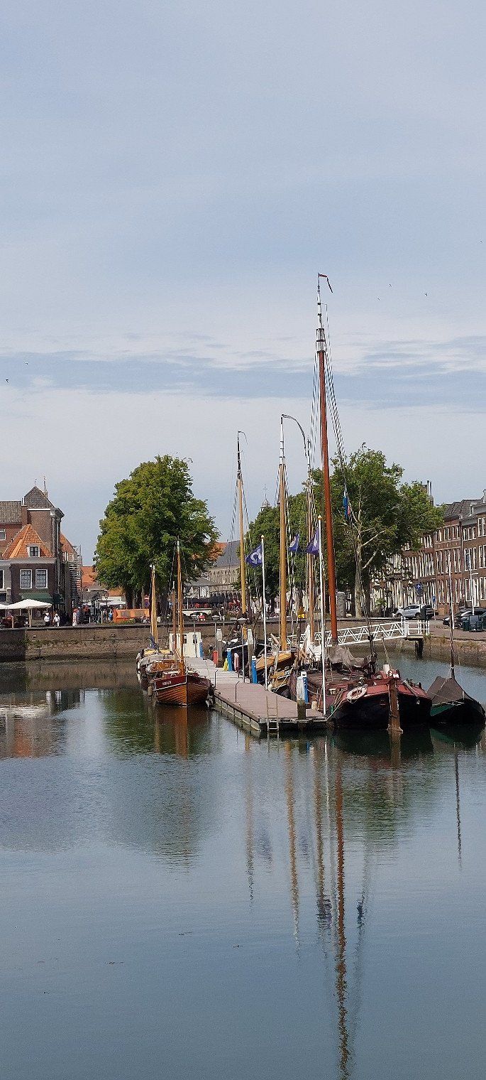
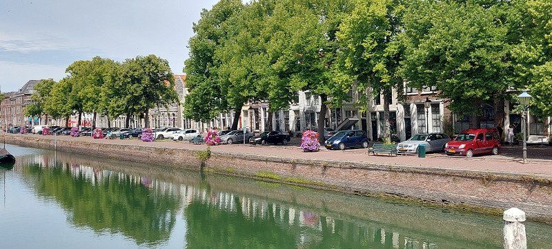
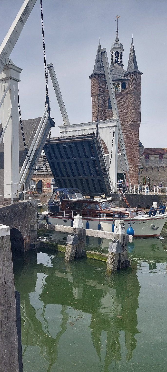
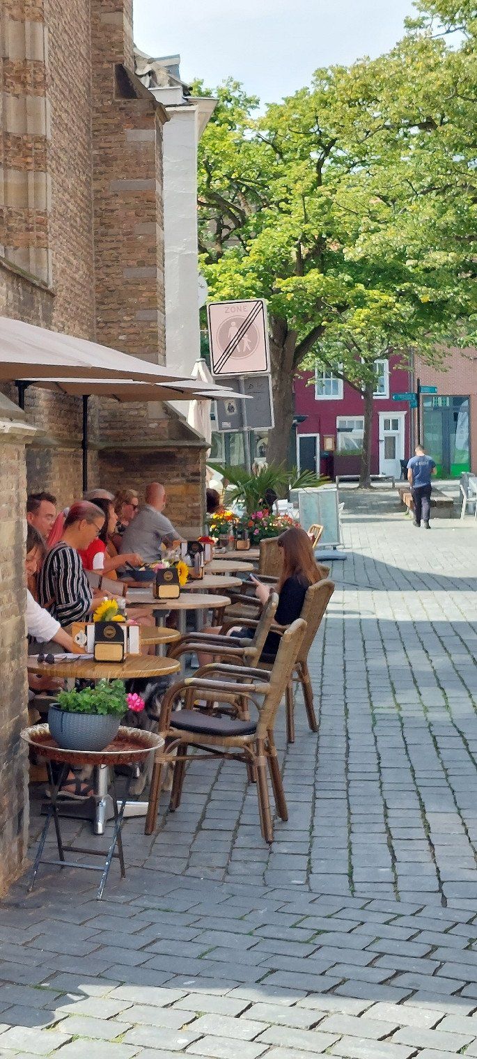
A trip to Zierikzee is beautiful
Campensweg 5, 4493 MN Kamperland, Niederlande
51° 34' 28.1" N 3° 39' 11.8" E
51.5744628 3.6532802
• Head north.
• Arrive at your destination on the right.
☍
Distance not available
(Duration not available)
Day
Camperpark Zeeland
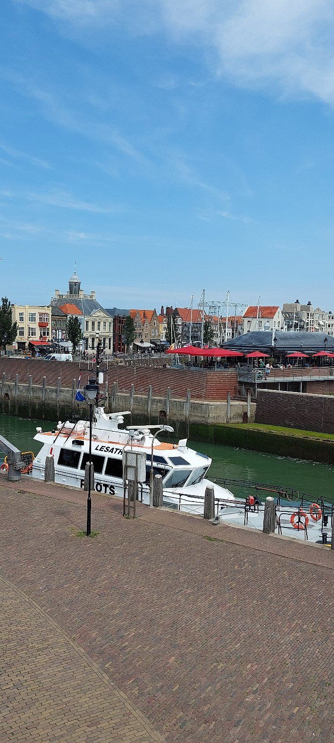
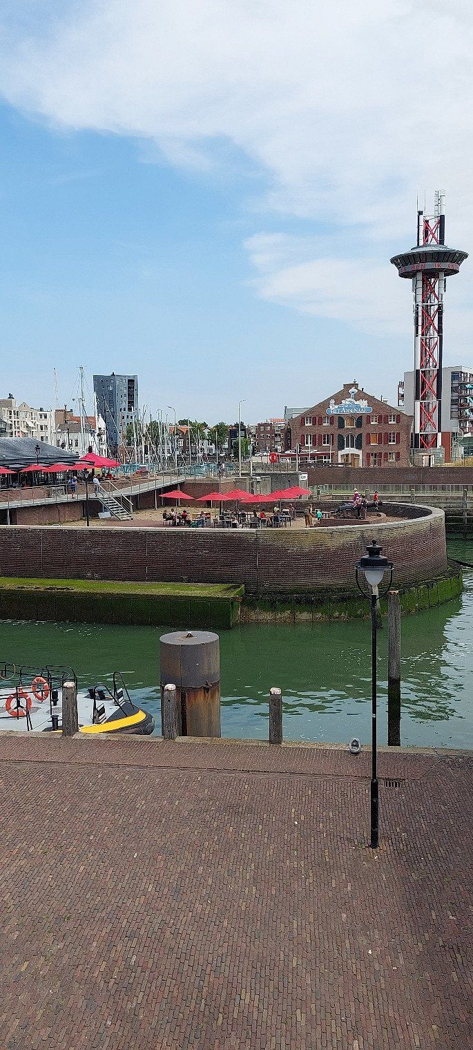
A cycling tour to Domburg, Westkapelle, Zoutlande to Vlisslingen and on to Middelburg, Veere to Camperpark Zeeland. 75 km bike ride, a portion of Kibbeling, yoghurts and coffee.
Campensweg 5, 4493 MN Kamperland, Niederlande
51° 34' 28.1" N 3° 39' 11.8" E
51.5744628 3.6532802
• Head south. Go for 169 m.
• Turn left onto Campensweg. Go for 576 m.
• Turn left onto Schotsmanweg. Go for 1.9 km.
• Take the 1st exit from roundabout onto Oost-Westweg. Go for 866 m.
• Turn right onto Oost-Westweg (N255). Go for 2.7 km.
• Take ramp. Go for 335 m.
• Turn left onto Nieuweweg. Go for 581 m.
• Turn left onto Sophiaweg. Go for 586 m.
• Turn left onto Dwarsweg. Go for 404 m.
• Arrive at Dwarsweg.
☍
8,1 km
( 10 min.)
Day
CAMPING Park Roompot
Parking space at a holiday park. €15
But not our taste.
Dwarsweg, 4493 Kamperland, Niederlande
51° 35' 5" N 3° 42' 39.9" E
51.5847101 3.7110743
• Head toward Sophiaweg on Dwarsweg. Go for 404 m.
• Turn right onto Sophiaweg. Go for 586 m.
• Turn right onto Nieuweweg. Go for 563 m.
• Turn left and take ramp onto Oost-Westweg (N255). Go for 3.1 km.
• Take the 2nd exit from roundabout onto Oost-Westweg (N255). Go for 6.5 km.
• Keep left onto Oost-Westweg (N255). Go for 126 m.
• Take the 2nd exit from roundabout onto 1e Deltaweg (N256). Go for 9.6 km.
• Take the left exit toward E312/Bergen op Zoom onto A58. Go for 30.7 km.
• Take the exit toward Antwerpen onto A4 (Zoomweg-Zuid). Go for 6.7 km.
• Continue on A12 (Havenweg). Go for 15.0 km.
• Take exit 16 toward Haven 1-100 onto N180 (Noorderlaan). Go for 5.0 km.
• Turn left onto IJzerlaan (N1). Go for 2.4 km.
• Turn left and take ramp onto E19 (Ring Antwerpen 1). Go for 2.2 km.
• Continue on E19 (Ring Antwerpen 1). Go for 2.4 km.
• Take the exit toward Brussel/Mechelen onto E19 (Antwerpen-Zuid). Go for 35.3 km.
• Take the left exit toward Namen/E411/Luik/Leuven/Luchthaven Zaventem/Brussel onto E40. Go for 4.7 km.
• Continue on R0 toward Ring Brussel/Bergen/Charleroi/Namen/E19/E411. Go for 8.0 km.
• Take ramp onto E411 toward Luxemburg/Namen. Go for 1.5 km.
• Keep left onto E411 toward Luxembourg/Luxemburg/Namur/Namen. Go for 182 km.
• Continue on A6. Go for 17.4 km.
• Take the exit toward Esch/Alzette/Leudelange onto A4. Go for 1.9 km.
• Take exit 1 toward 4/Leudelange/Luxembourg/Industrie-Komplex Grasbësch. Go for 509 m.
• Turn left onto N4. Go for 2.3 km.
• Turn right onto Route de Bettembourg (CR186). Go for 423 m.
• Turn right onto Route de Bettembourg. Go for 312 m.
• Turn right onto Route de Bettembourg. Go for 127 m.
• Arrive at Route de Bettembourg. Your destination is on the left.
☍
340,1 km
(3 hrs. 22 min.)
Day
Campingplatz Kockelscheur
07/17/2022 the place cost 23, - € including electricity.
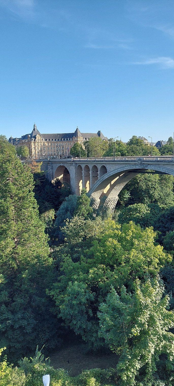
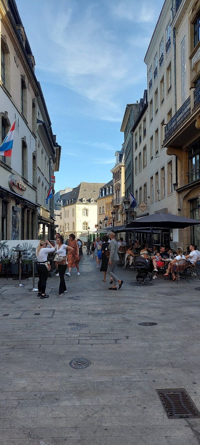
20 minutes by bike to the center
22 Rue de Bettembourg, 1899 Luxembourg, Luxemburg
49° 34' 20.5" N 6° 6' 29.4" E
49.5723657 6.1081748
• Head southeast on Route de Bettembourg. Go for 127 m.
• Turn left onto Route de Bettembourg. Go for 312 m.
• Turn left onto Route de Bettembourg (CR186). Go for 413 m.
• Turn right onto Boulevard de Kockelscheuer. Go for 947 m.
• Continue on Boulevard de Kockelscheuer. Go for 397 m.
• Turn right onto Rue Friedrich Wilhelm Raiffeisen (CR231). Go for 232 m.
• Take ramp onto A3 toward Aéroport/Metz/Saarbrücken/Trier. Go for 681 m.
• Take the exit toward Aéroport/Trier/Ettelbruck/A7/Echternach onto A1. Go for 9.1 km.
• Take exit 8 toward Ettelbruck/Echternach/E29/E421 onto A7. Go for 26.8 km.
• Continue on B7. Go for 1.2 km.
• Take ramp toward Ettelbruck/Schieren/Wiltz/Bastogne. Go for 640 m.
• Turn left onto N7. Go for 134 m.
• Continue on Route de Luxembourg (N7). Go for 637 m.
• Turn left onto Route de Stegen (CR347). Go for 310 m.
• Continue on CR347. Go for 177 m.
• Turn right onto Kreuzberg (CR346). Go for 503 m.
• Turn left onto CR346. Go for 9 m.
• Turn left onto CR346. Go for 1.7 km.
• Continue on Birkenhaff (CR346). Go for 138 m.
• Continue on CR346. Go for 584 m.
• Turn right. Go for 375 m.
• Arrive at your destination on the right.
☍
45,5 km
( 34 min.)
Day
Day
Day
Campingplatz Kockelscheuer
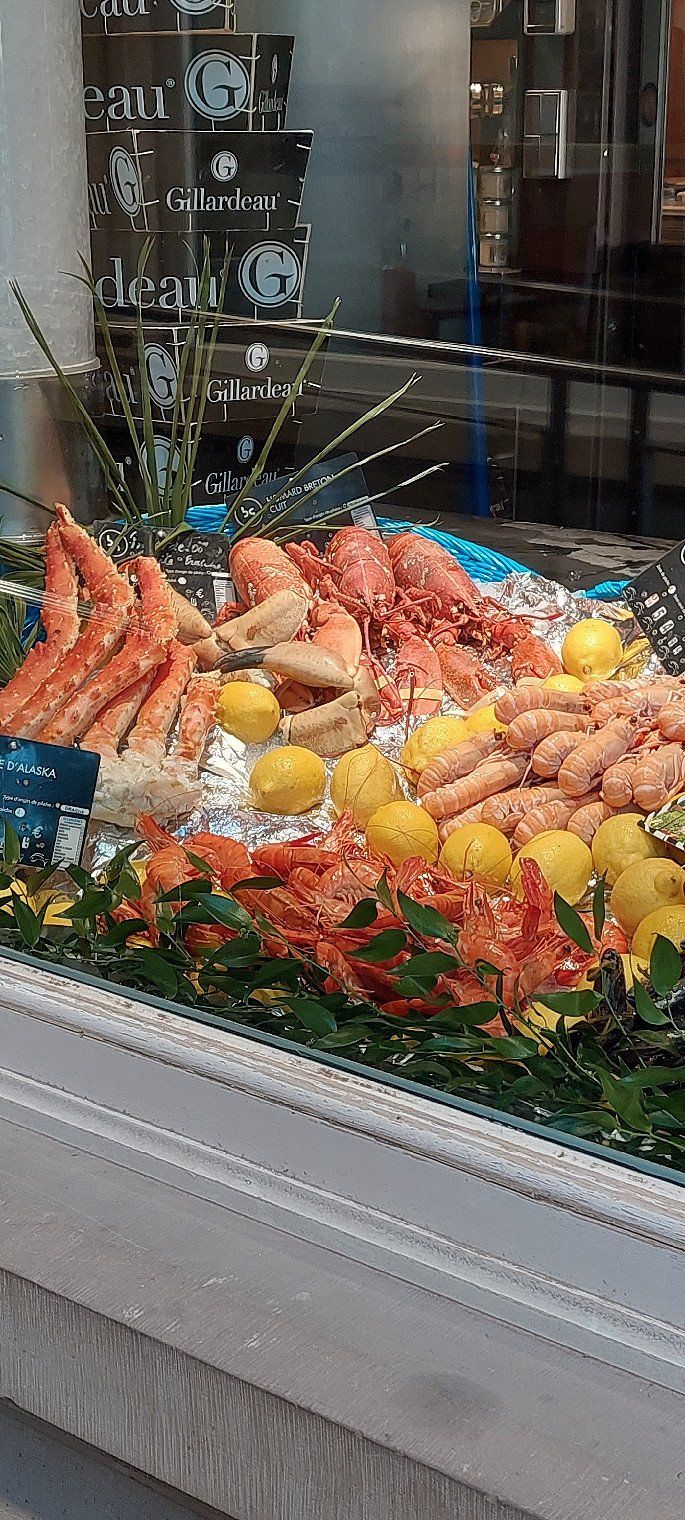
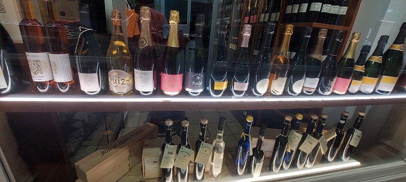
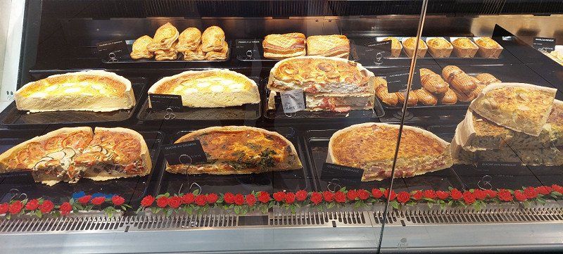
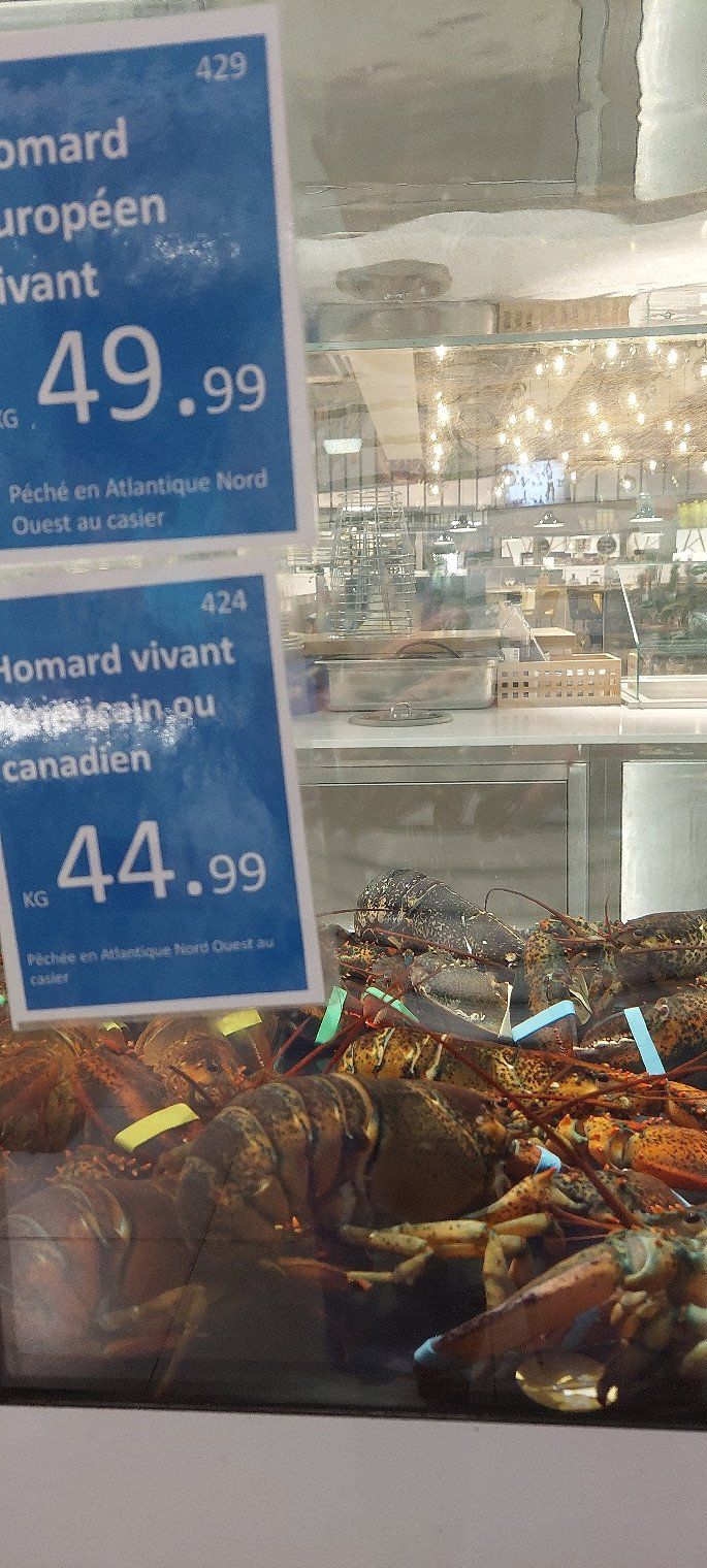
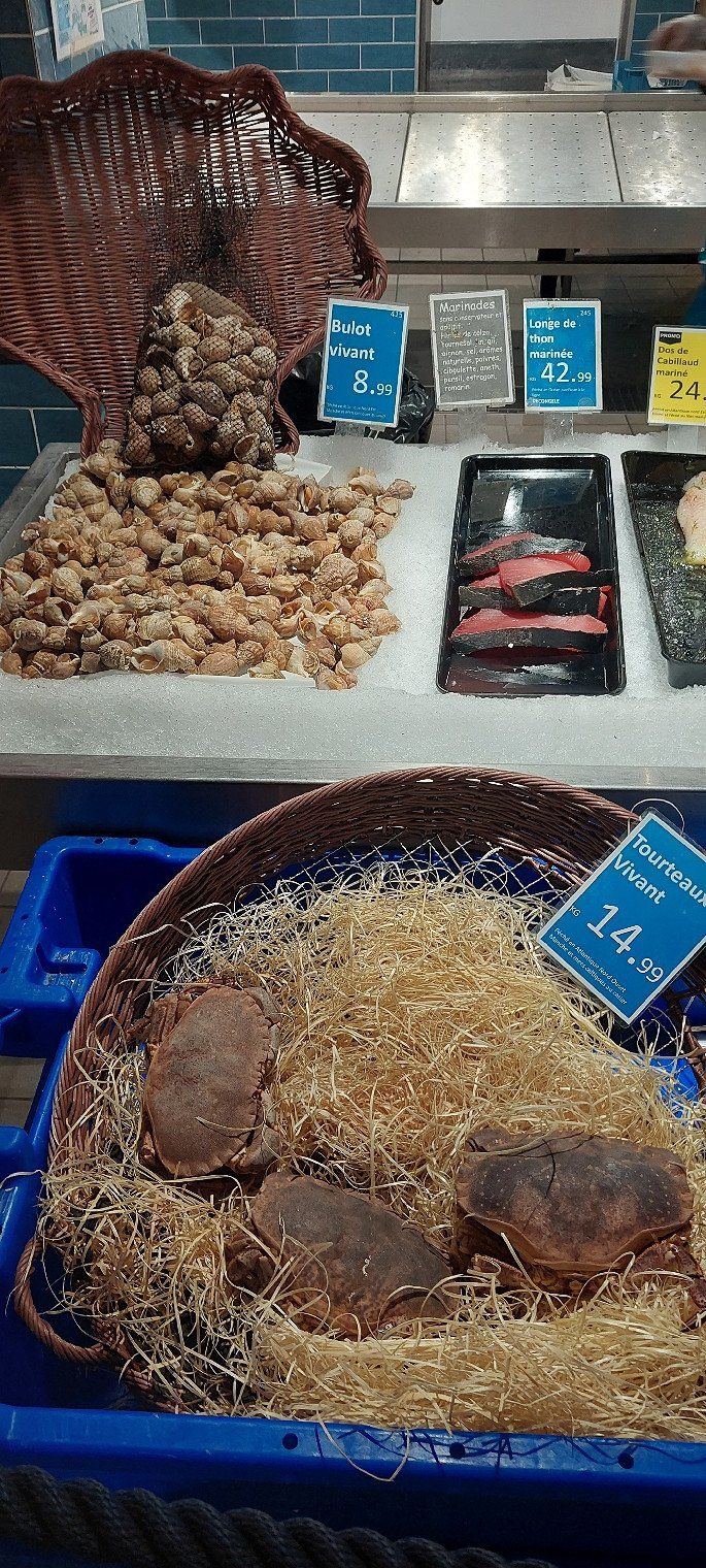
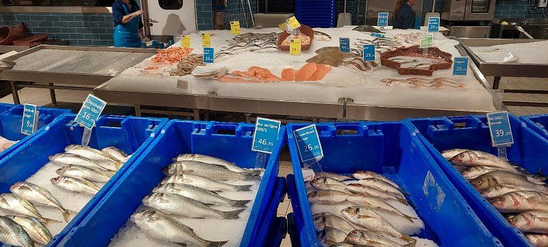
After a bike tour around Luxembourg, we visited the Cloche d'Or shopping center. The food department in general really impressed me. Actually a huge delicatessen.
R48H+4R Nommern, Luxembourg
49° 48' 55" N 6° 7' 46.5" E
49.8152730 6.1295830
• Head northeast. Go for 375 m.
• Turn right onto CR346. Go for 1.6 km.
• Continue on Rue Geischleid (CR346). Go for 444 m.
• Turn left onto Rue Principale (CR115). Go for 252 m.
• Turn right onto Rue de l'École (CR119). Go for 274 m.
• Continue on CR119. Go for 276 m.
• Turn right onto Rue de l'École (CR119). Go for 142 m.
• Continue on CR119. Go for 4.9 km.
• Turn left onto CR119. Go for 965 m.
• Turn right onto Place Bleech (N14). Go for 119 m.
• Turn right onto Rue du Moulin (N14). Go for 9.9 km.
• Continue toward Luxembourg/Junglinster/Grevenmacher/Beidweiler/N1/N14. Go for 26 m.
• Turn right onto N11 toward Luxembourg/Junglinster/Grevenmacher/Beidweiler/N1/N14. Go for 656 m.
• Turn left onto Rue de Beidweiler (N14) toward Eschweiler/CR132/Beidweiler/Grevenmacher. Go for 10.1 km.
• Turn left onto N1. Go for 1.3 km.
• Take the 2nd exit from roundabout onto Potaschberg (N1). Go for 352 m.
• Take left ramp onto A1 toward Mertert/Wasserbillig/Trier. Go for 10.4 km.
• Continue on A64 (Sauertalbrücke). Go for 11.8 km.
• Continue on A64a. Go for 6.1 km.
• Keep left onto L151 toward A64/Hermeskeil. Go for 21.5 km.
• Turn right and take ramp onto B407 toward Kaiserslautern/Saarbrücken/Saarburg/Zerf/Kell am See/Thalfang/B327. Go for 1.7 km.
• Take ramp onto A1 toward Morbach/B327/Thalfang/Flughafen Hahn/Gewerbegebiet Hermeskeil-Grafenwald. Go for 11.2 km.
• Keep left onto A62 toward Pirmasens/Kaiserslautern/A6/Otzenhausen. Go for 52.0 km.
• Take exit 10 toward Mannheim/Kaiserslautern onto A6. Go for 62.2 km.
• Take exit 21 toward Karlsruhe/Ludwigshafen onto A61. Go for 37.1 km.
• Take the left exit toward Stuttgart/Heilbronn/Karlsruhe onto A6. Go for 60.5 km.
• Keep left onto Autobahnkreuz Weinsberg toward Stuttgart/Weinsberg/Ellhofen. Go for 2.3 km.
• Continue on A81. Go for 36.7 km.
• Take exit 17 toward S.-Zuffenhausen/S.-Zentrum onto B10. Go for 4.7 km.
• Take ramp onto B10/B27. Go for 2.4 km.
• Take ramp onto Heilbronner Straße (B10/B27) toward Esslingen/Stuttgart-Zentrum/S-Feuerbach. Go for 1.6 km.
• Keep right onto Heilbronner Straße (B27) toward Tübingen/Reutlingen/B295/Leonberg/Flughafen/S-Zentrum/S-Nord/-Feuerbach. Go for 386 m.
• Keep right onto Heilbronner Straße (B27). Go for 2.9 km.
• Turn left onto Arnulf-Klett-Platz toward City-Ring/S-Ost. Go for 564 m.
• Turn right onto Konrad-Adenauer-Straße toward Böblingen/City-Ring/B14/S-Süd. Go for 425 m.
• Keep right onto Konrad-Adenauer-Straße. Go for 265 m.
• Turn slightly left. Go for 65 m.
• Arrive at your destination on the right.
☍
358,2 km
(3 hrs. 36 min.)
Day
Stuttgart
That was our last day of vacation.
We really liked Zeeland.
We'd love to come back.
Deutschland
48° 46' 33" N 9° 10' 58.6" E
48.7758459 9.1829321